Caratteristica: Adatta a chi inizia con le ferrate

  • Ferrata Val di Scala

    Ferrata Val di Scala

    Vie Ferrate › Trentino-Alto Adige › Trento
    Ferrata Val di Scala

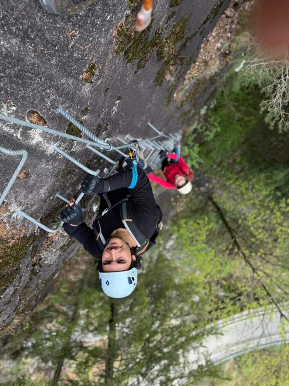
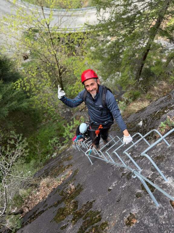
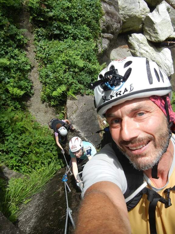
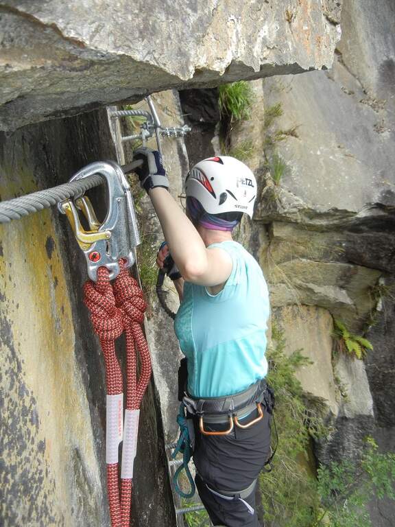
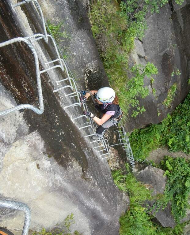
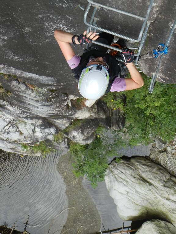
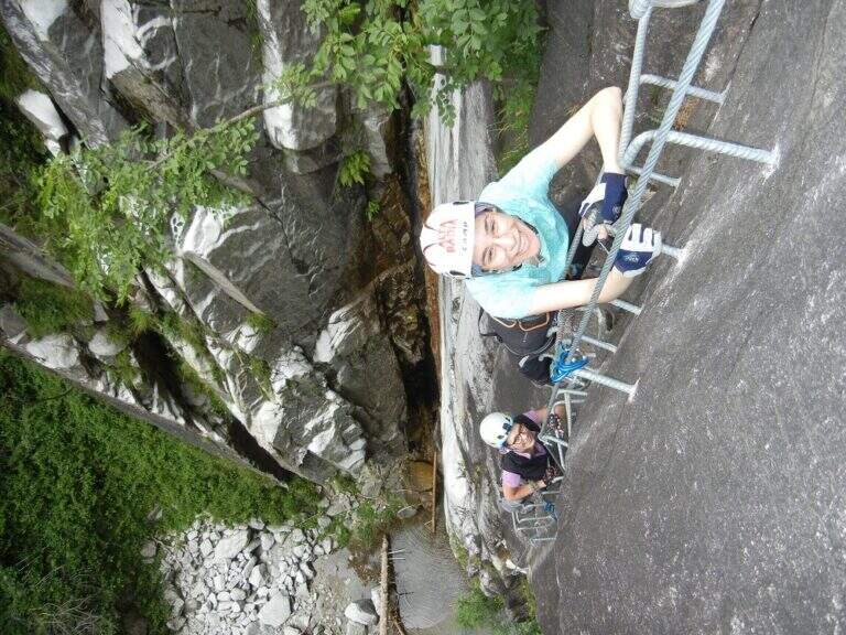
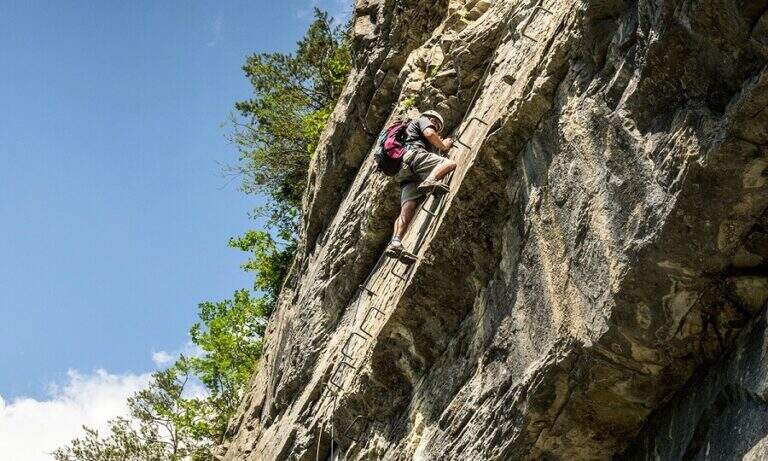
    La Ferrata Val di Scala (also called Caoria or the Canal San Bovo) is a short and well-equipped itinerary, ideal for approaching the world of equipped routes: technical difficulties remain modest even in the presence of a good exposure. The context, in the province of Trento on the side of the Lagorai Chain, is very beautiful and isolated, away from mass tourism.

    ▲Approach

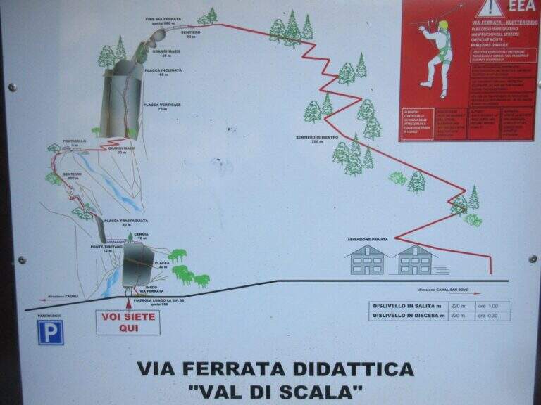
    The starting point is located along the road connecting Canal San Bovo e Caoria and that goes up the Val di Scala: you park near a pronounced curve, with the attack placed a few meters from the road. Open road signs on Google Maps. From the parking lot the street is already visible: in a few minutes, following the track, you reach the attack (10' from the parking lot).

    ▲The path

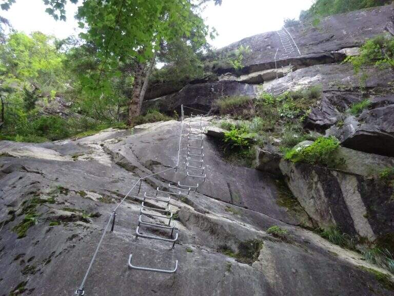
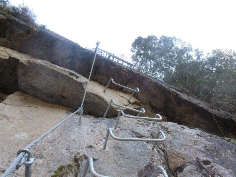
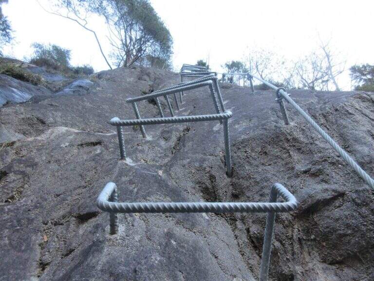
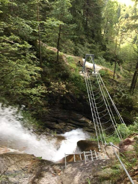
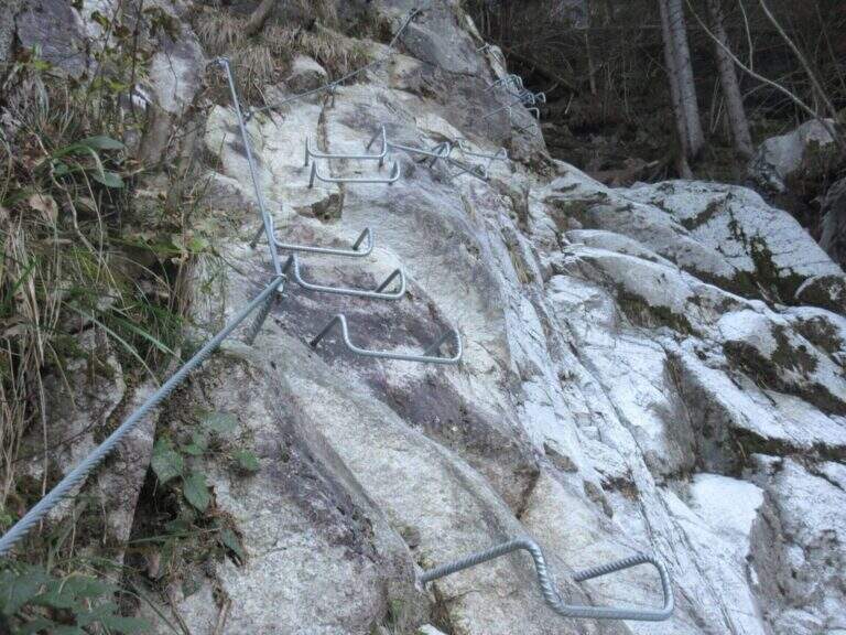
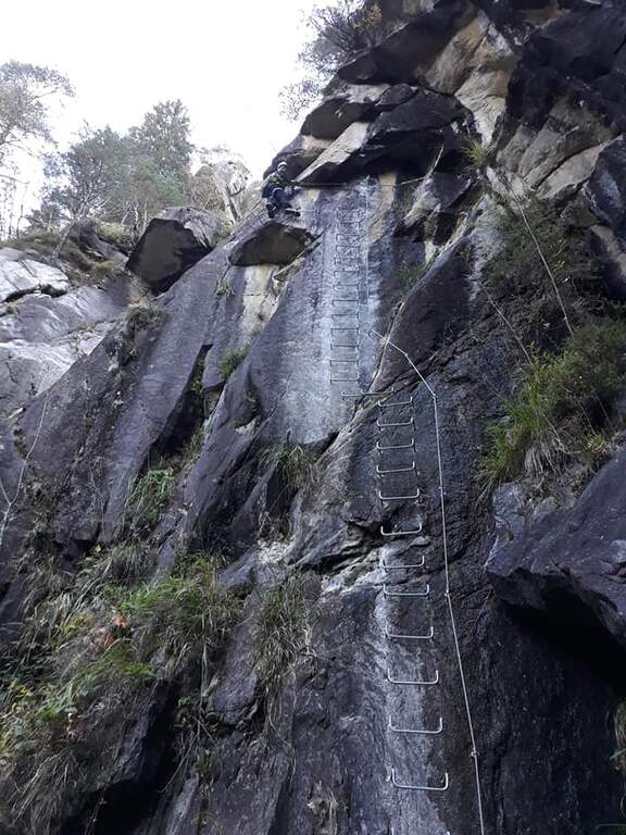
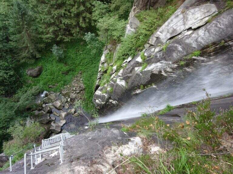
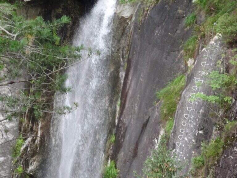
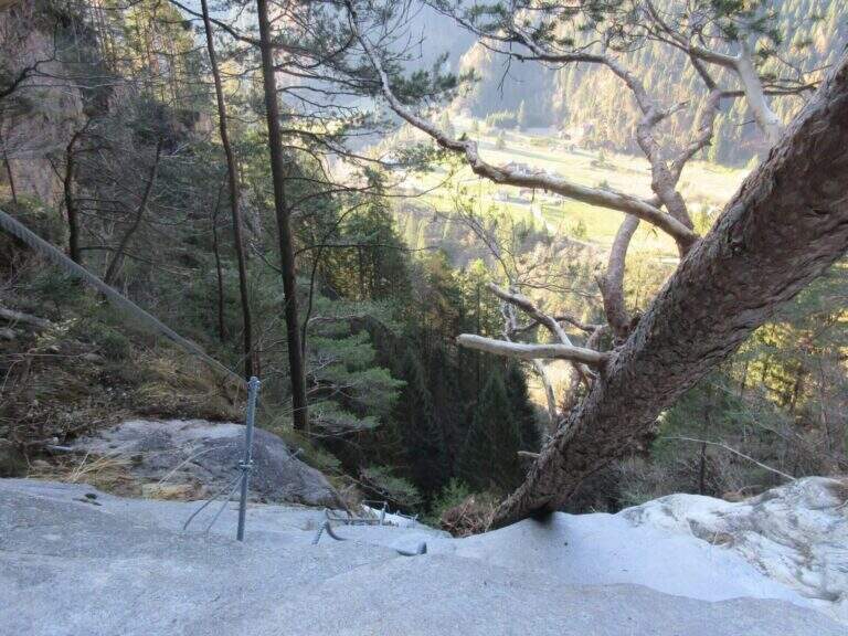
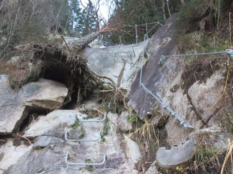
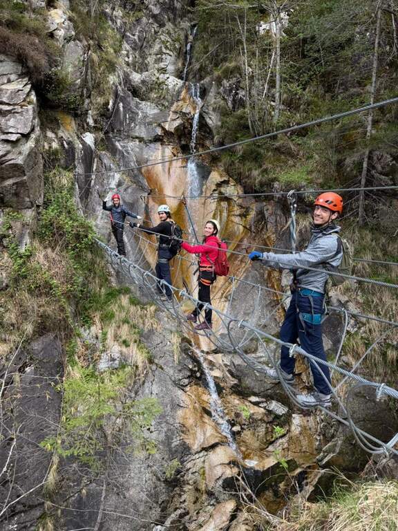
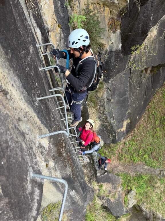
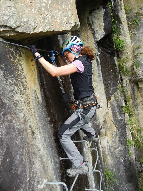
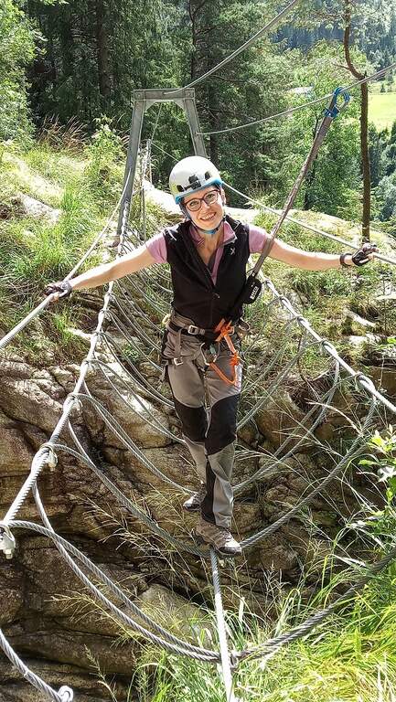
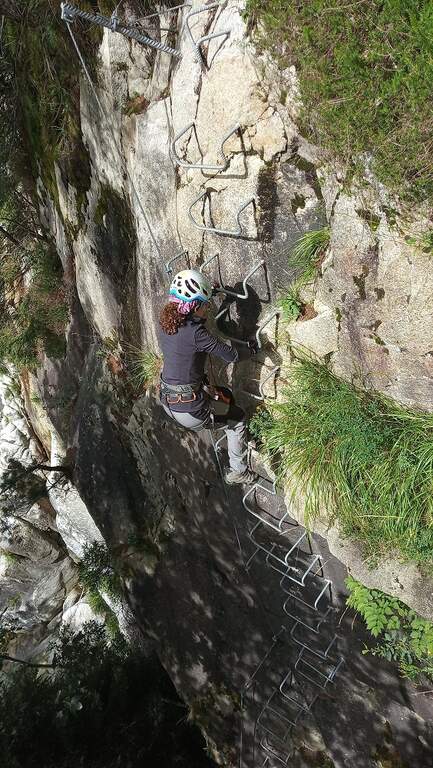
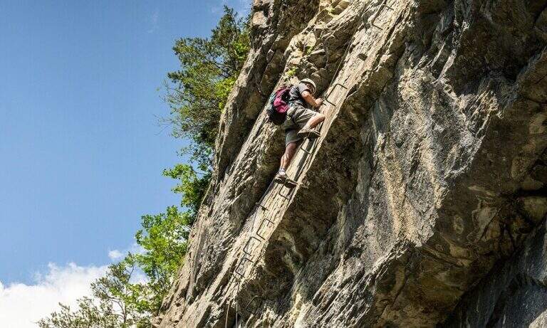
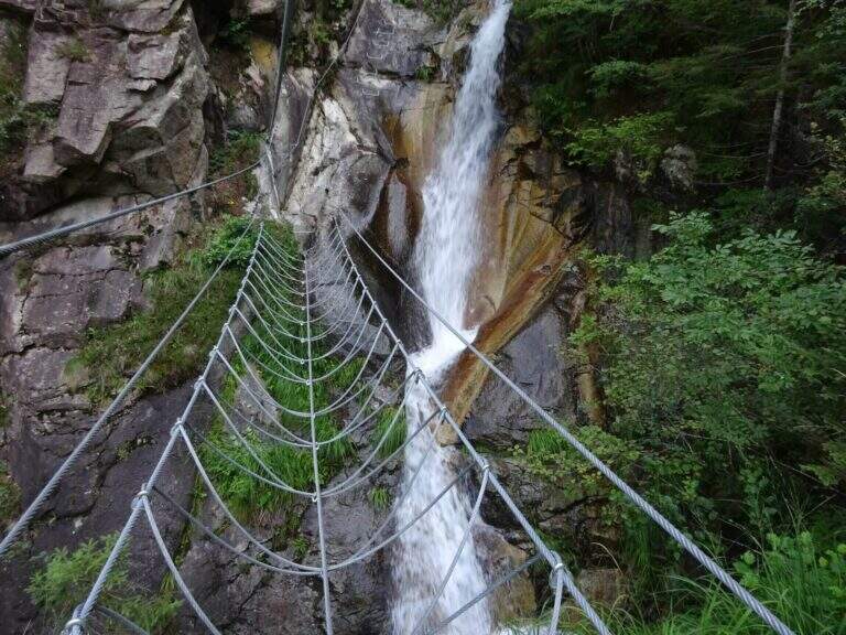
    The first meters are immediately vertical on plate, with a rapid succession of cambre for about fifteen meters, after which a short terrosa nod leads to the right. The cable starts vertically, always on metal cambres, leading under a tetto rocky that goes beyond with the cable that for some meters flows on both sides. Continue vertically on the cambre scale and then on the left towards the bridge suspended , very stable and along about fifteen meters; beautiful the waterfall that flows right of the bridge and that, after l' crossing, it turns uphill. After a short horizontal stretch on the edge of the stream, a series of difficult-to-grave transverses; but very panoramic accompanies the leaps of the course d' water. The equipment is interrupted by a stretch of connecting path, then the cables resume at some small rocks and act as a handrail where the path tightens; a stone goes up beyond which a wooden walkway crosses the stream. Beyond the catwalk we proceed on a track, on the left, to a vertical wall: a long row of cambre rises, interspersed by a short stretch on the left, up to a new rocky roof that this time wanders left with the feet on the &ndash cambre; the più point; exposed to the via. Mounted the roof is divided vertically for about twenty meters up to a short stretch; next to the waterfall again. Finally, there are some rocky balconies abundantly relayed, with short stretches of connection, and after the last equipped rocks the way ends (40' from the ' attack).

    ▲Character and difficulty

    Recent and modern hardware in the design, with numerous metal fixtures. Those looking for a "arrampable" route will be disappointed; those who appreciate verticality will find satisfaction, with limited technical difficulties. It is perfect for taking confidence with the equipped routes to those who are already accustomed to exposed excursions; the equipment is in good condition.

    ⚠ Although technically easy, the way è ben exposed: non è suitable for those suffering vacuum. Helmet and hardware set remain indispensable. For the cartography ` useful the map of the Park of Paneveggio – Pale di San Martino o la Lagorai – Cima d'Asta.

    ▲Discipline

    After finishing the ferrata follow the clearly visible track that brings to the parking space in about 20 minutes (1h 15' overall).

    ▲To match

    It is probably the only easy route in this area of Trentino, rich instead of long and challenging routes. Not far away Ferrata Gabrielli salt in Cima d'Asta; moving to the Pale di San Martino there is the Ferrata del Porton, la Ferrata del Velo e la Ferrata Bolver-Lugli. For those in the first arms, in Val di Fiemme there is the Ferrata del Bombasel at Cermis.
    ▲Gallery
    Technical data
    • DifficultyEasy
    • RegionTrentino-Alto Adige
    • ProvinceTrento
    • GroupChain of Lagorai
    • Approach10 min
    • Ferrata45 min
    • Complete itinerary (a/r)1h 15'
    • Hardware level difference200 m
    • Route difference239 m
    • Maximum1004 m
    • Length2,4 km
  • Ferrata Malfatti al Sumbra

    Ferrata Malfatti al Sumbra

    Vie Ferrate › Tuscany › Lucca
    Ferrata Malfatti al Sumbra

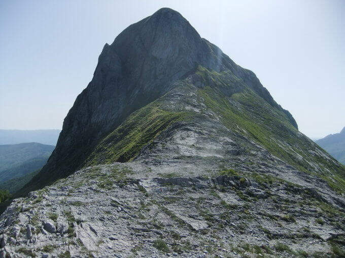
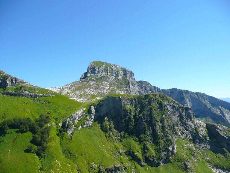
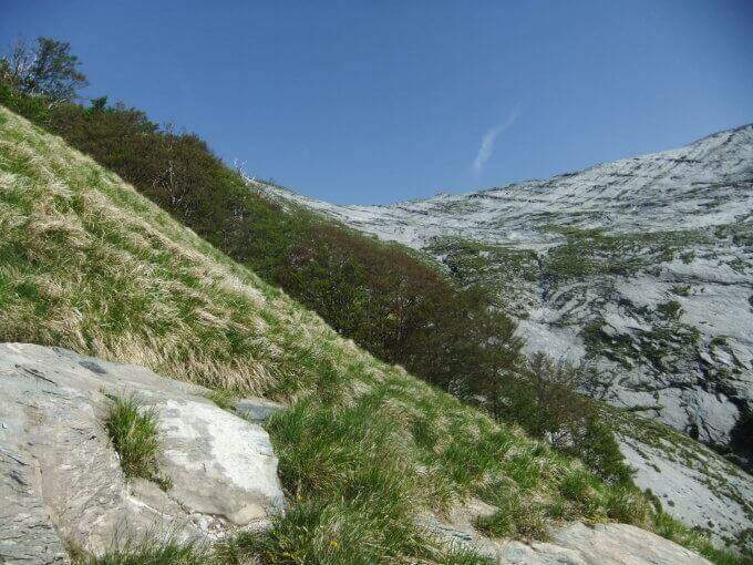
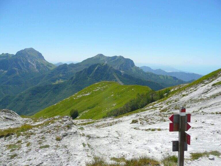
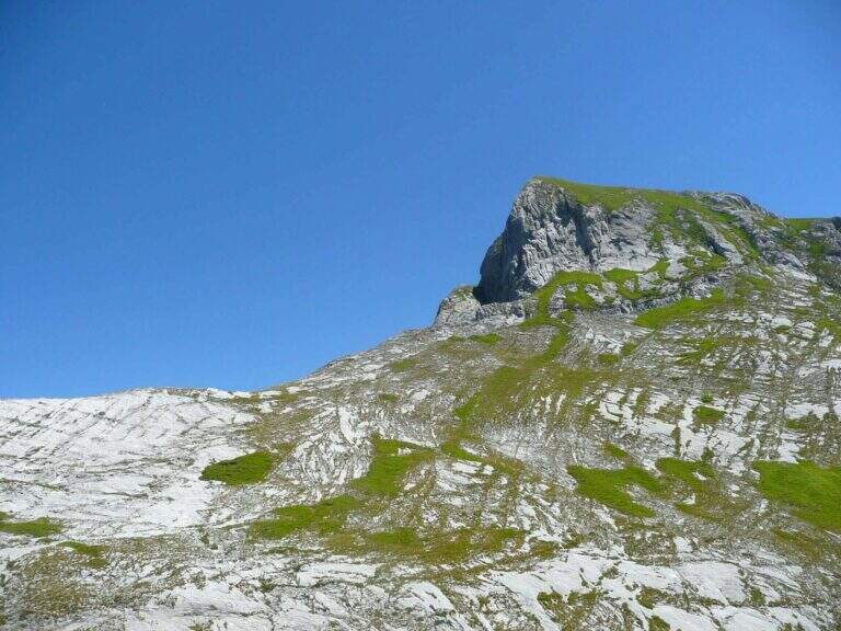
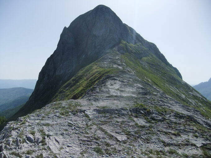
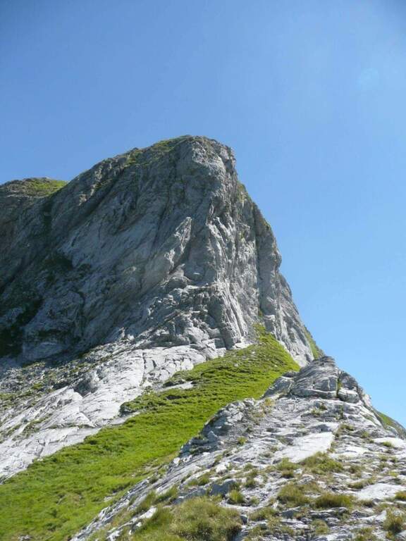
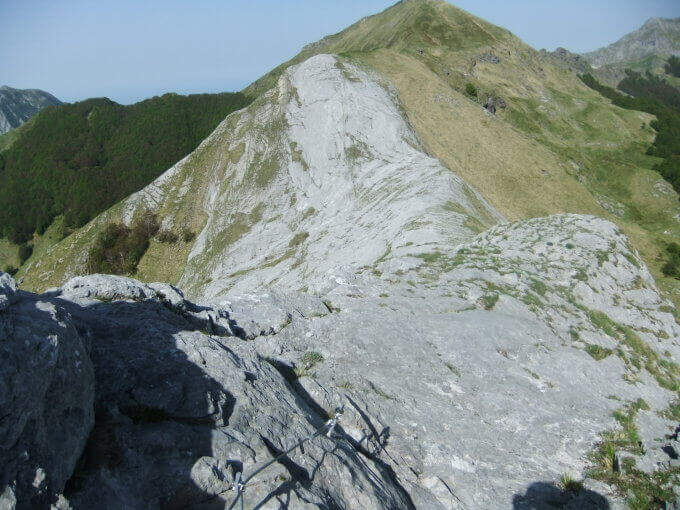
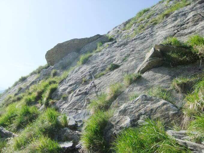
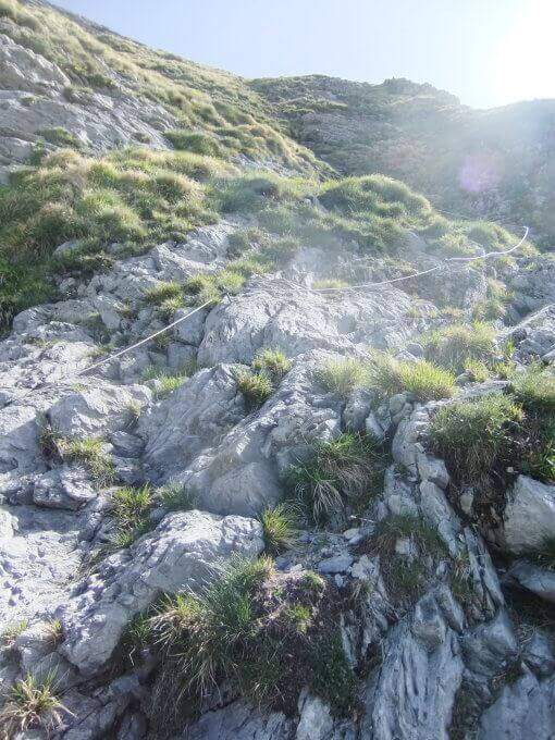
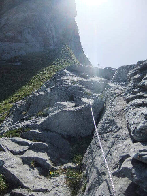
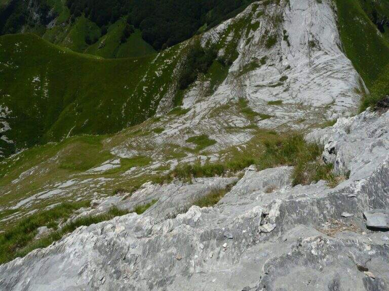
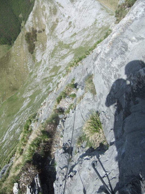
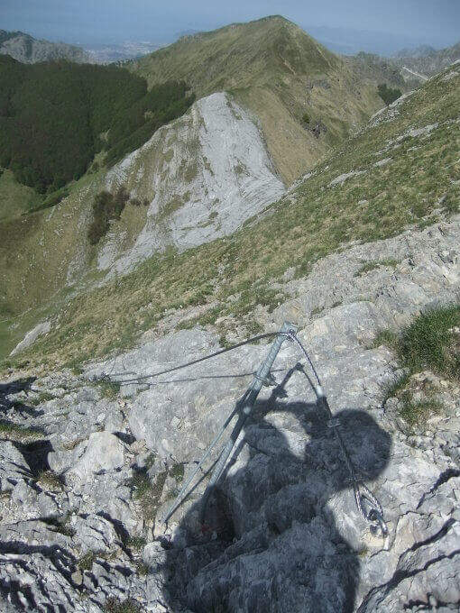
    The Ferrata Malfatti is an easy road that goes up Monte Sumbra from the slope of Passo Fiocca, in the southern Apuans. It develops above all on grassy balconies exposed but never complicated, with the cable that acts as a handrail: a route suitable for those who approach the ferrates.

    ▲Approach

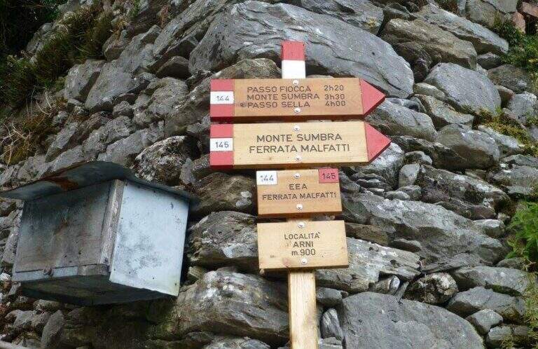
    The starting point is the village of Arni (Lucca), reachable from the Garda side or from the Versilia along the SP13: from Garfagnana (Castelnuovo) turn right before the gallery towards Campagrina and Arni; from Versilia you pass the gallery and turn left for Arni. Starting point on Google Maps. Parked at the obvious church, you climb the staircase and behind you take a road towards the last houses of Arni, where the CAI 144 path begins for the Fiocca Pass (1560 m). The path climbs steep between junipers and shrubs, then halfway the south wall of Monte Fiocca (traccia not always evident, follow the signs); after Malpasso (1h 40' from the parking lot) you face a passage not protected a bit more complex and exposed. Then you enter a beech forest, you get two often dry streams and, beyond a grassy stretch, you reach a saddle; from here a steep slope of rocks and then naked marble leads to Passo Fiocca (2h 30' from the parking lot). From the pass turn right onto the CAI 145 towards the wall of the Sumbra and in a short time you reach the attack (15' from the Fiocca Pass, 2h 45' from the parking lot).

    ▲The path

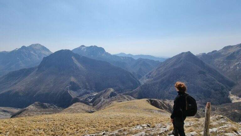
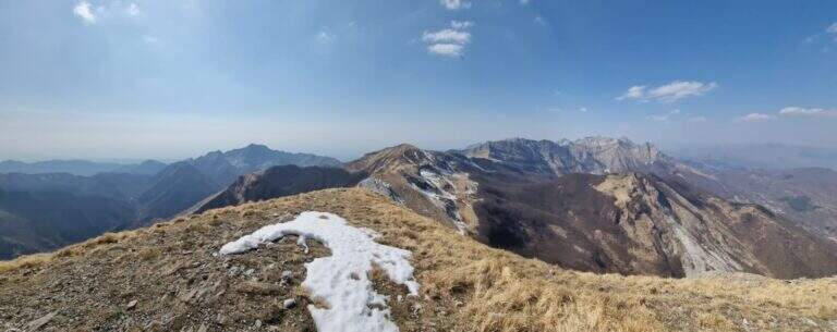
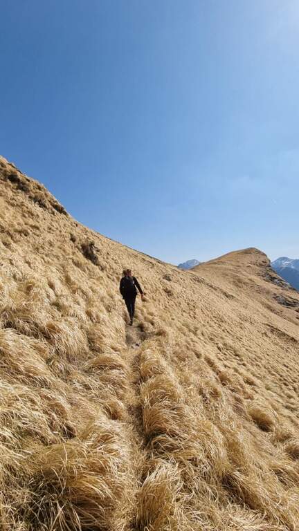
    The road goes up the south slope of the Sumbra, daring at first sight but in reality more equipped path than real ferrata. Start by reassembling some rocks and continue between exposed grassy balzes until you get on the main path for the summit (30' from the attack, 3h 15' from the parking lot). Turning left on steep ascent you will arrive in short at the top of Mount Sumbra, with satisfying view between the Apennines, sea and Apuane (3h 25' from the parking lot).

    ▲Character and difficulty

    Technical difficulty contained, with the value of bringing to the top of a mountain: a good choice to start with the ferrates.

    ⚠ The equipment is not all in good state of maintenance. To avoid bad weather: the CAI 144 between Arni and Passo Fiocca has points that become ostic with wet soil.
    ▲History

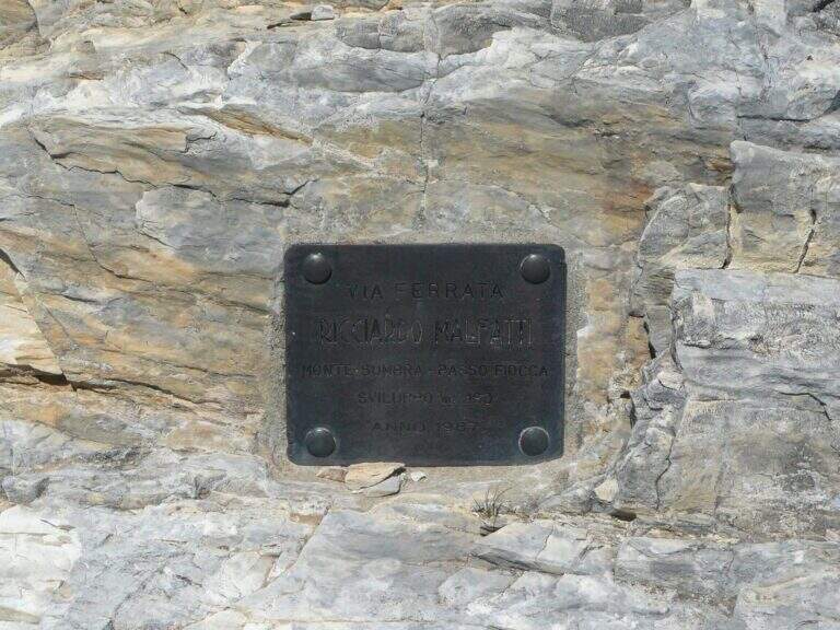
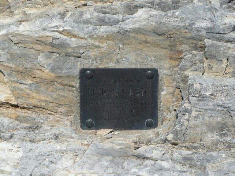
    Ferrata Malfatti was installed in 1987.

    ▲Discipline

    From the summit the ferrata goes back to Passo Fiocca, where there are two options: redefine the steep CAI 144 backwards towards Arni (about 2h from Sumbra, 5h 30' total); or continue straight on CAI 144 (and climb to Monte Fiocca in 40' a/r) that, bypassing the north wall of Fiocca, leads to Passo Sella, from which 31.

    ▲To match

    For length and difference in altitude it is difficult to concatenate in the day, but stopping in the southern Apuans you can walk in the adjacent days Ferrata Salvatori e la Ferrata del Procinto.

    ▲Gallery
    Technical data
    • DifficultyEasy
    • RegionTuscany
    • GroupApuan Alps
    • Approach2:45 h
    • Ferrata0:30 h
    • Itinerary (a/r)5:30
    • Hardware level difference180 m
    • Route difference849 m
    • Max1765 m
    • Length12,5 Km
Need help? Write to us!