Caratteristica: Allenamento

  • Ferrata Lieutenant Ferrante di Ruffano

    Ferrata Lieutenant Ferrante di Ruffano

    Vie Ferrate › Friuli-Venezia Giulia › Udine
    Ferrata Lieutenant Ferrante di Ruffano
    Very difficult● OpenDescriptionComplexityMapsGallery

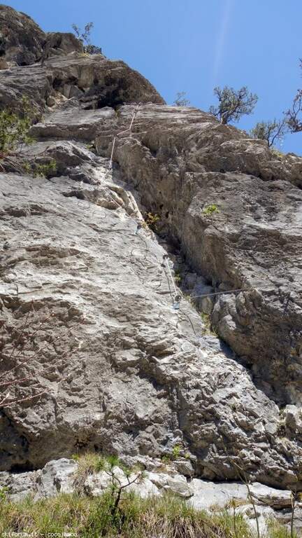
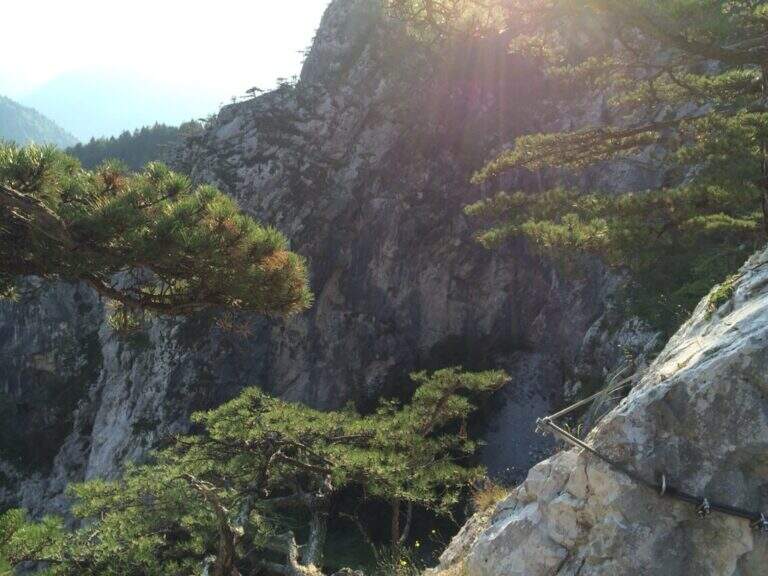
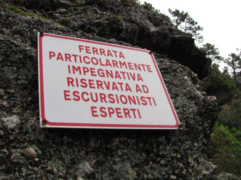
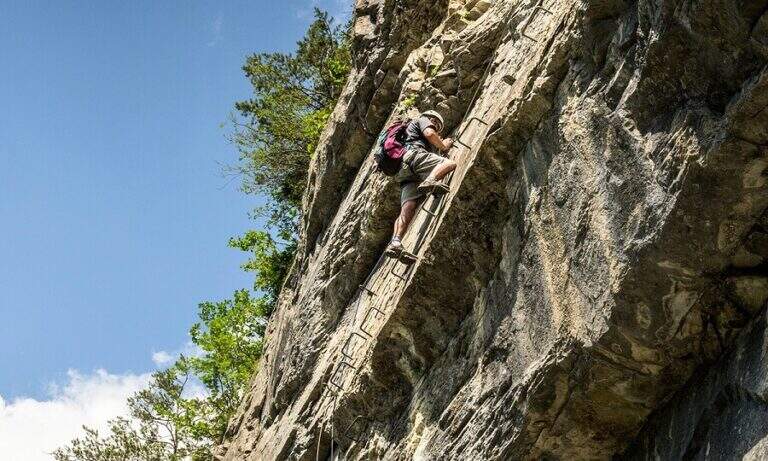
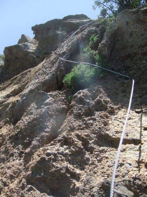
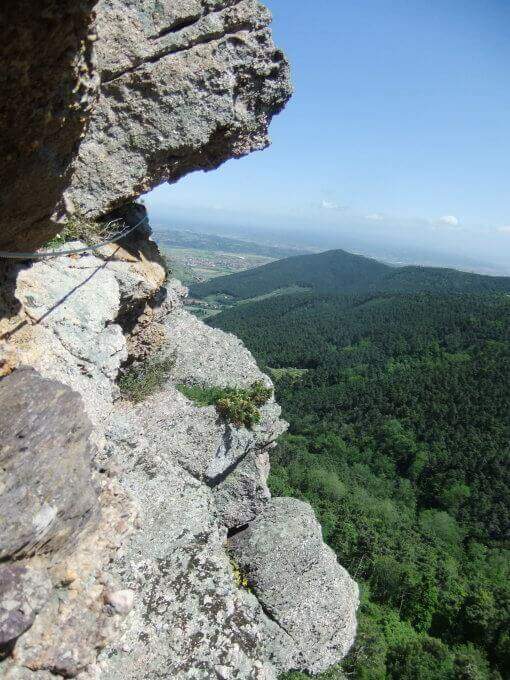
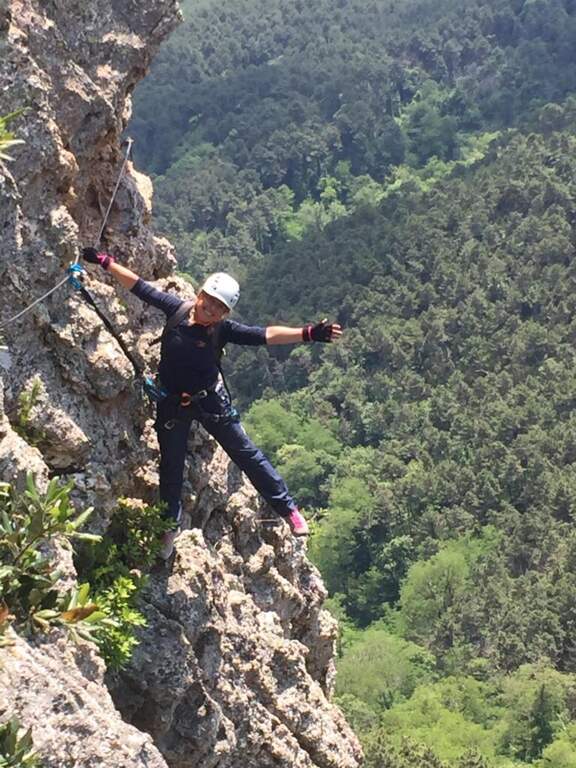
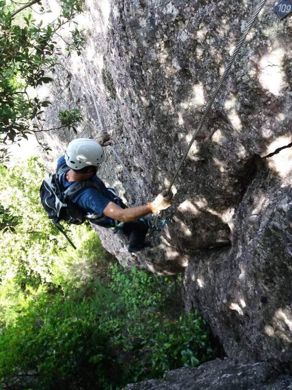
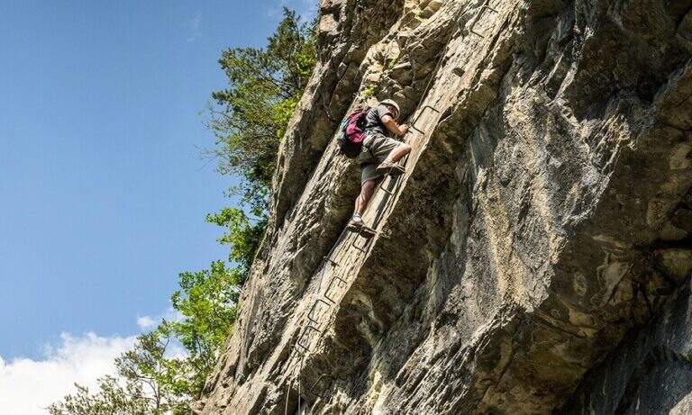
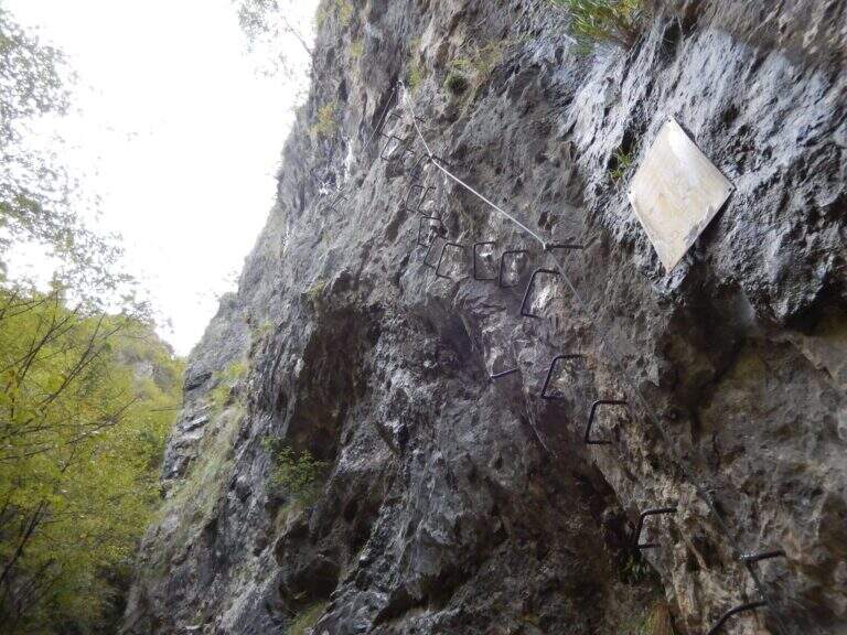
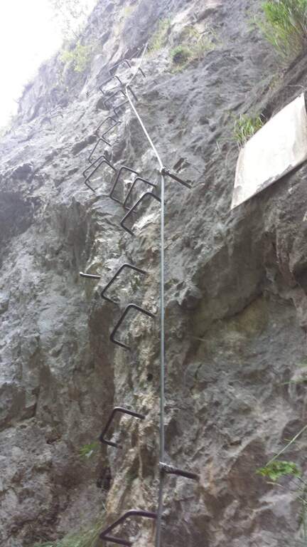
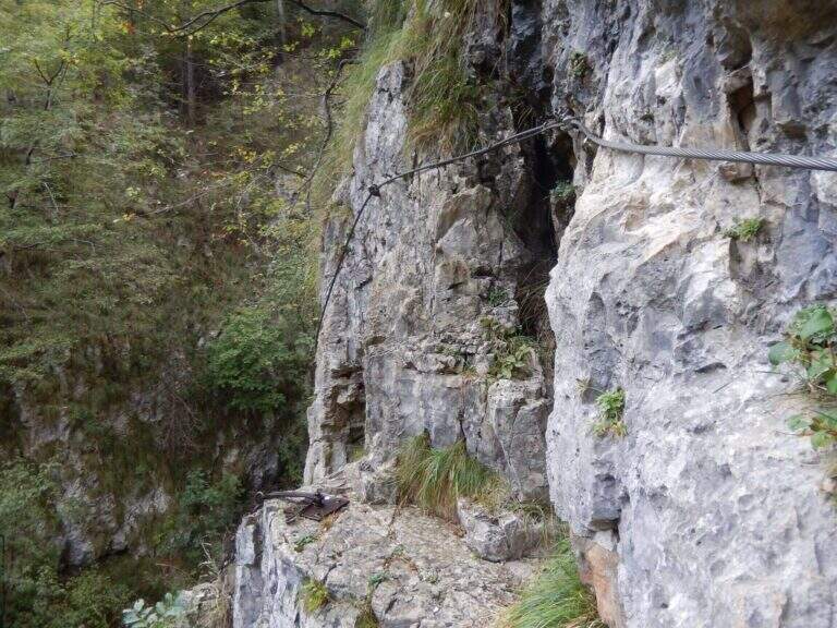
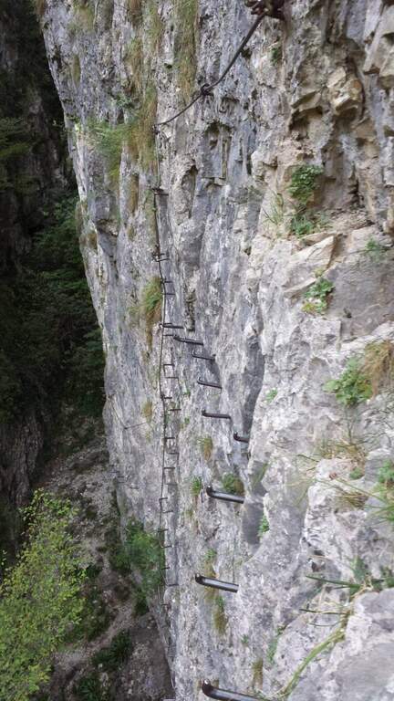
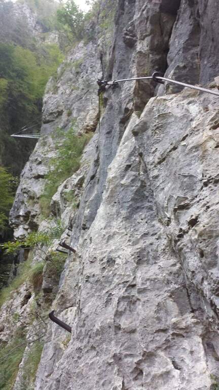
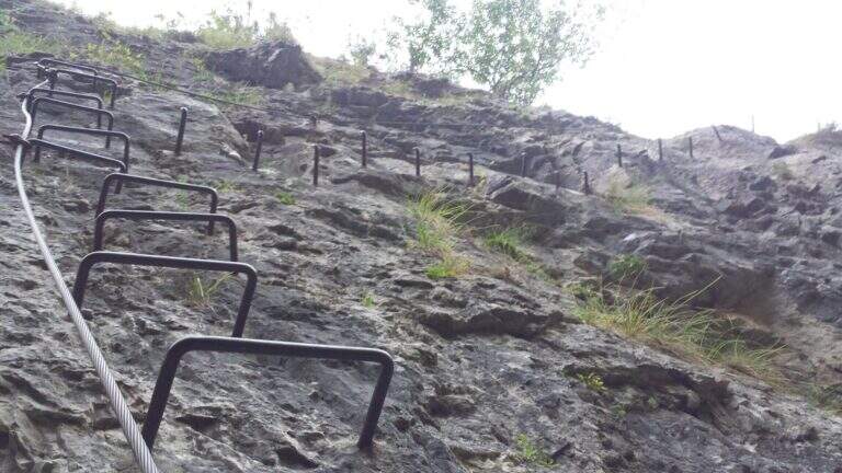
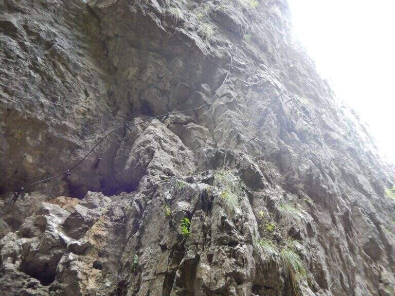
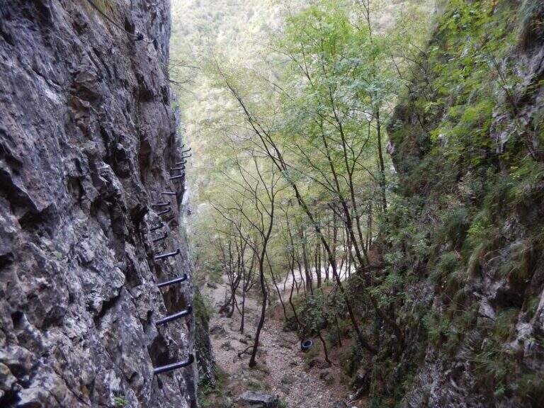
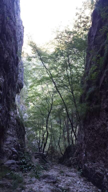
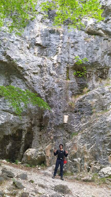
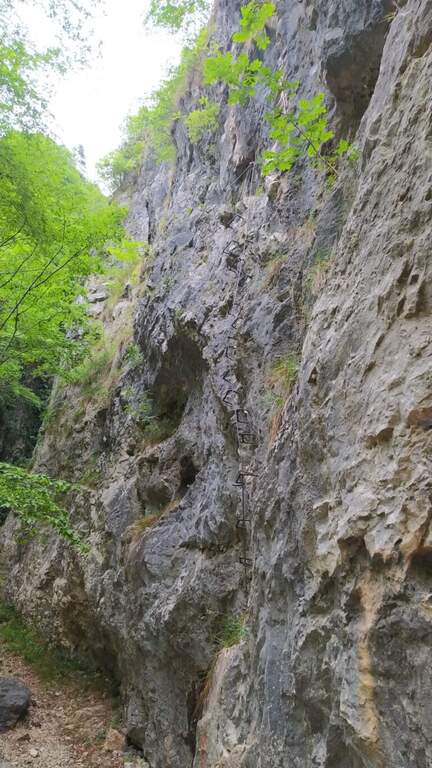
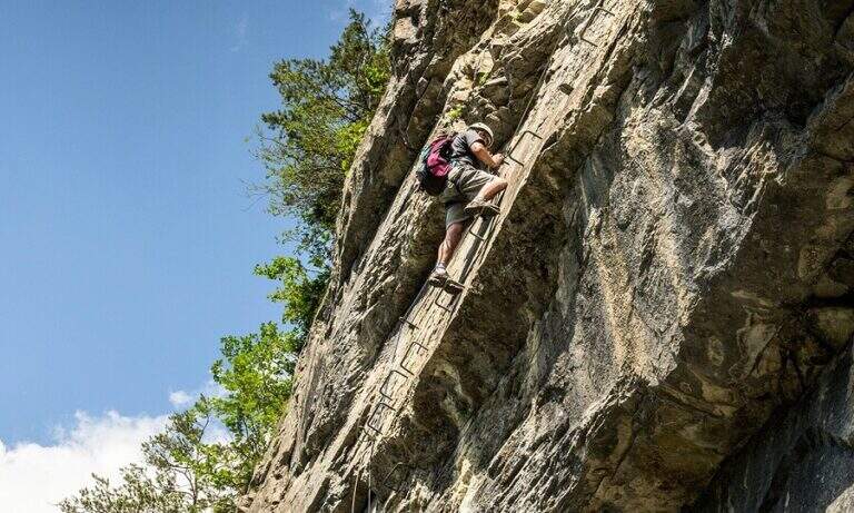
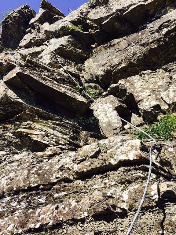
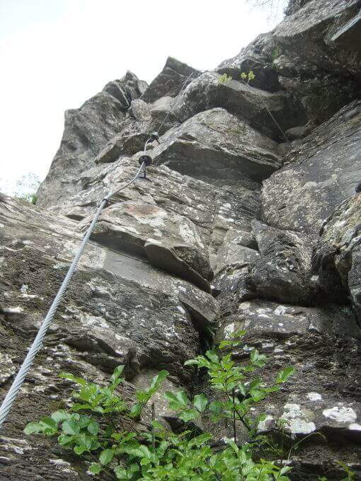
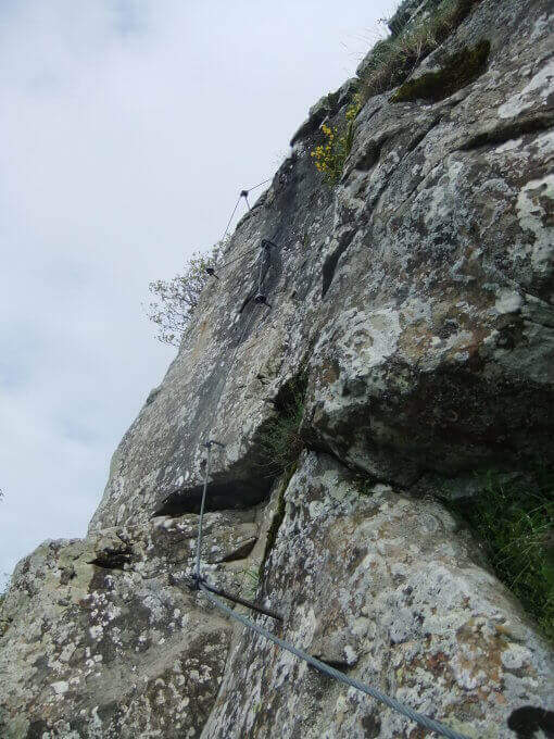
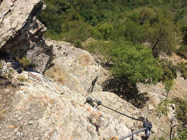
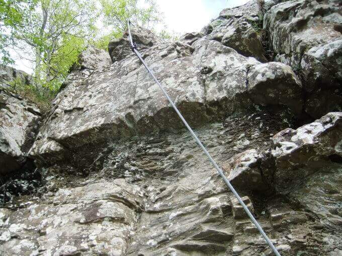
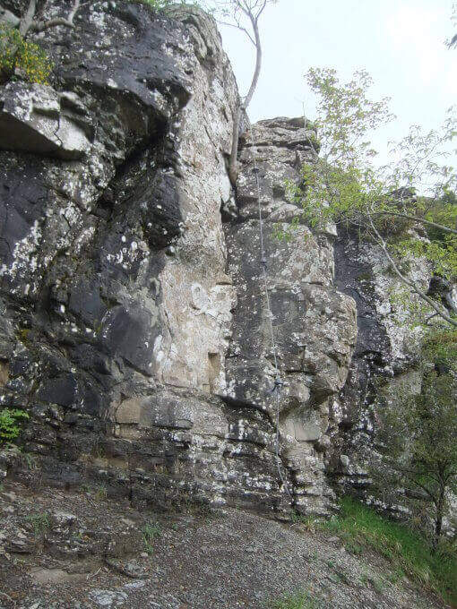
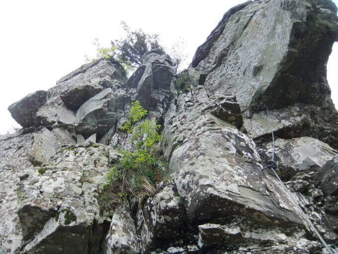
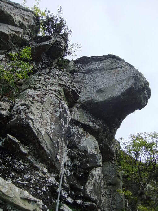
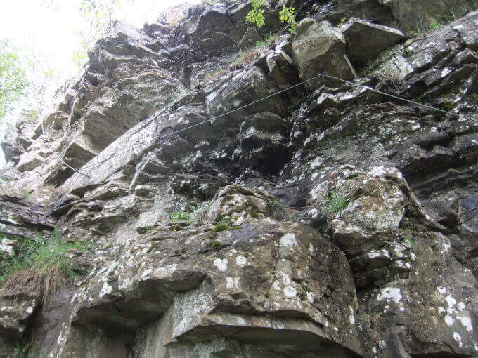
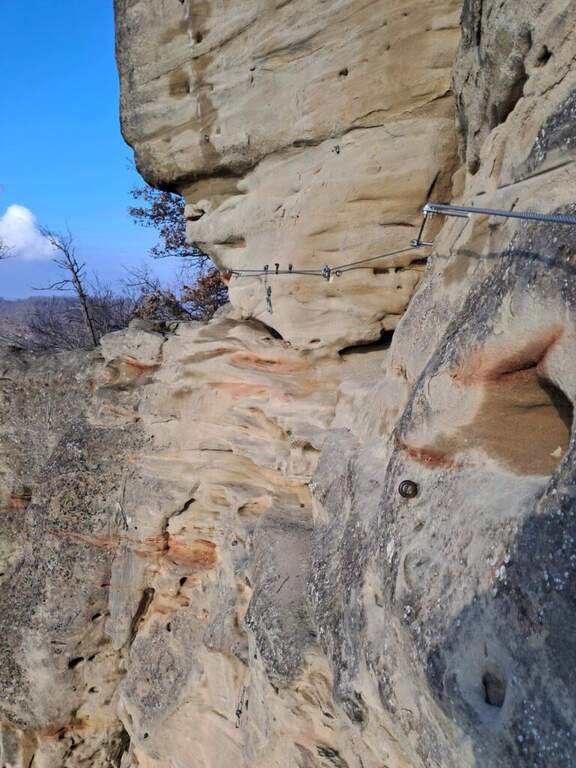
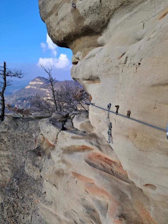
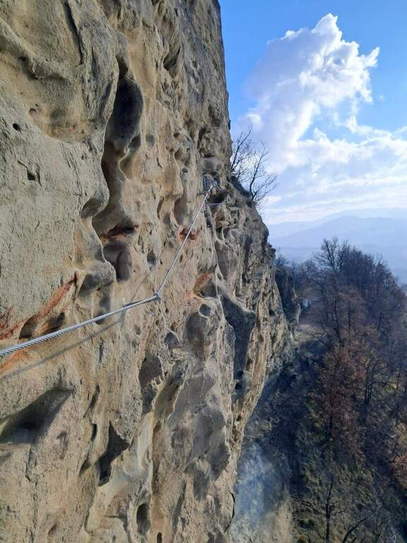
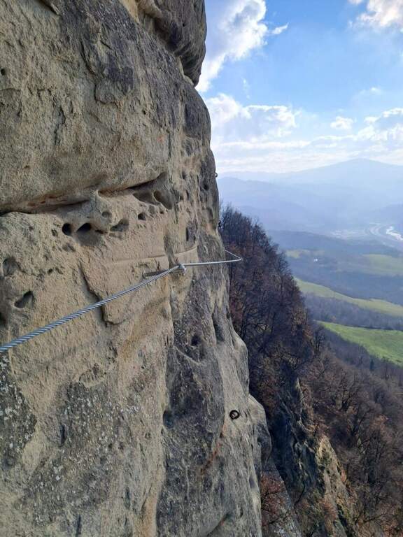
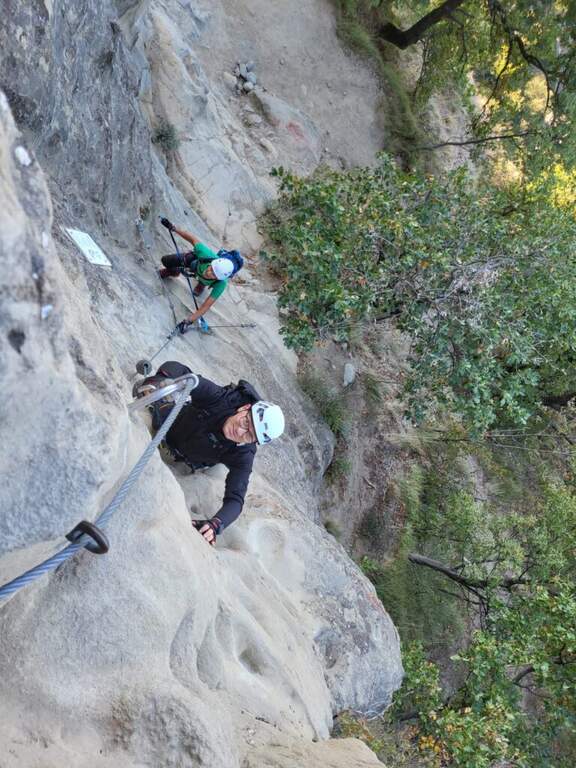
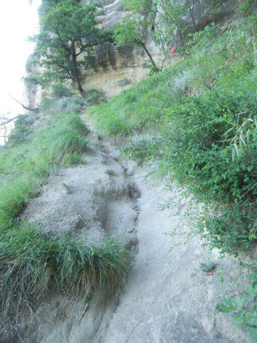
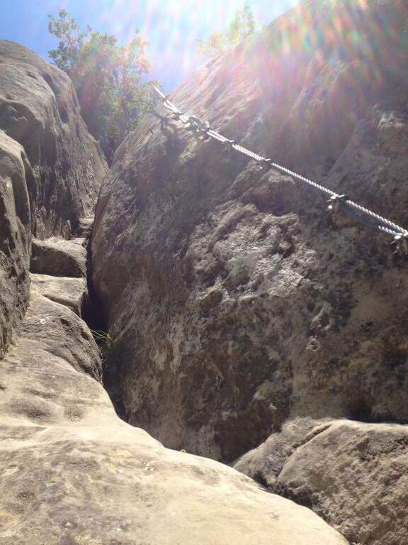
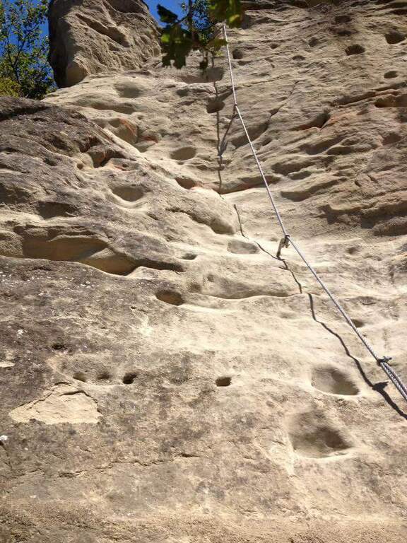
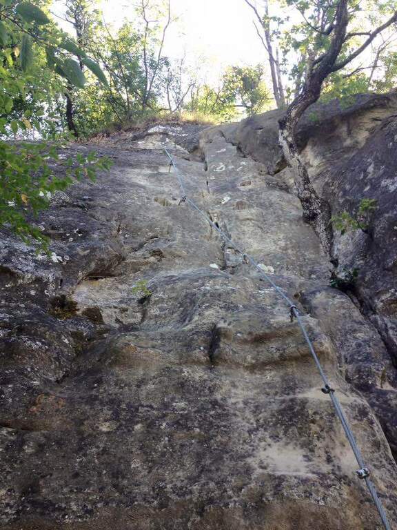
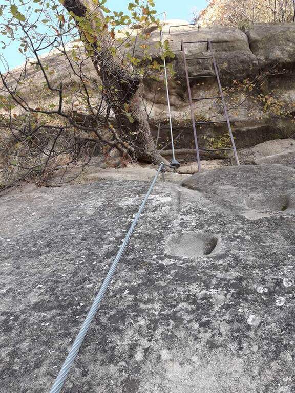
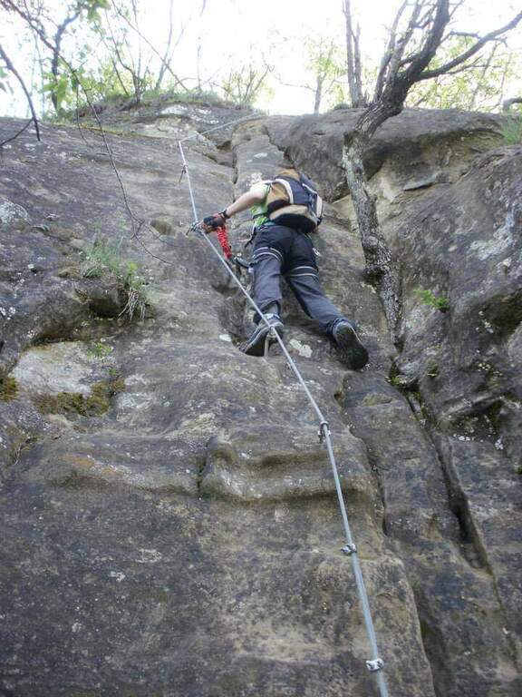
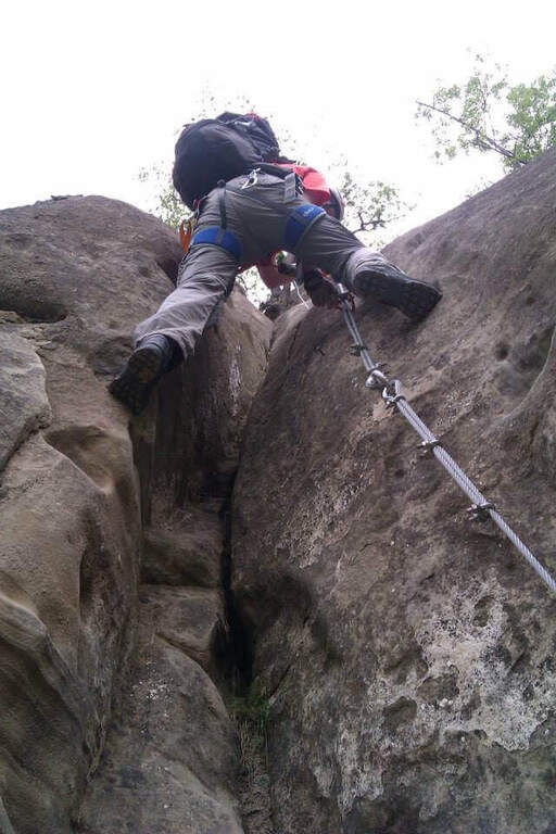
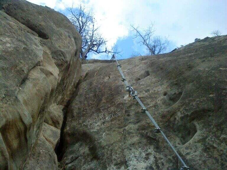
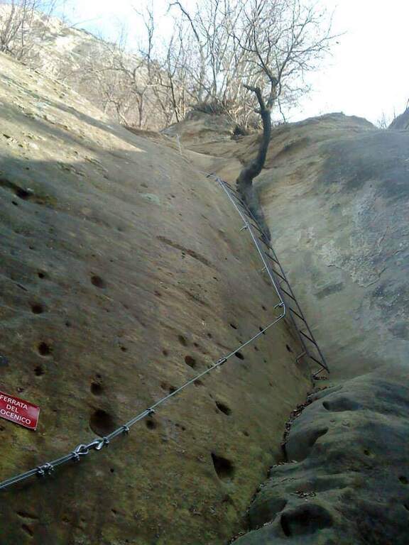
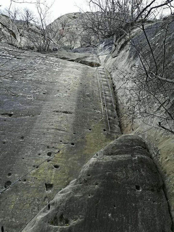
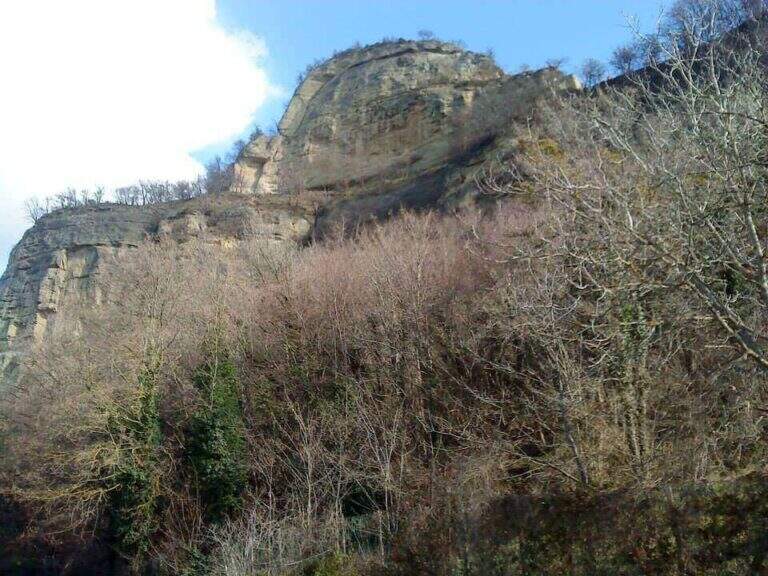
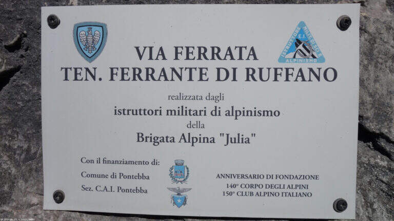
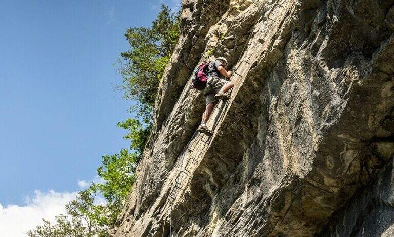
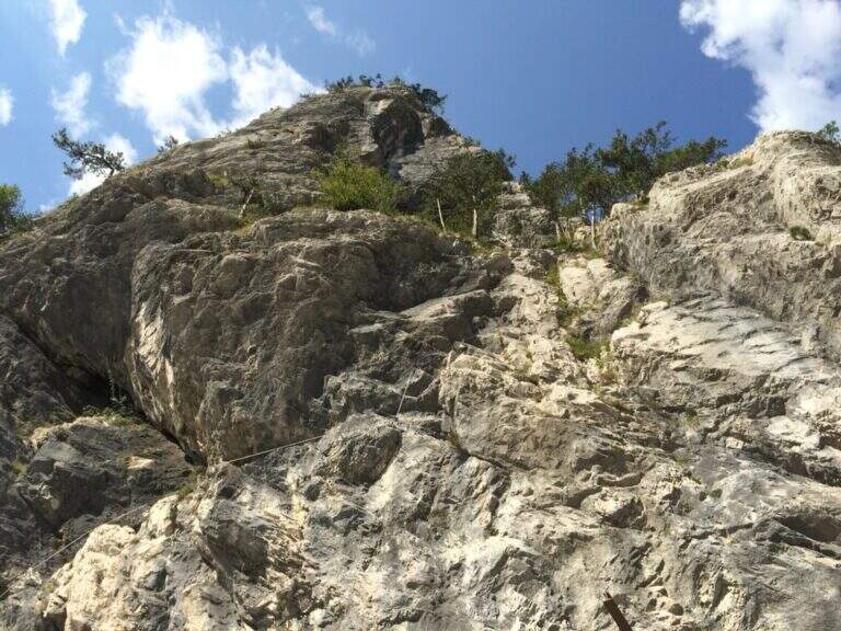
    La Ferrata Lieutenant Ferrante di Ruffano was created by the Alpini near Pontebba, in the province of Udine. It is a vertical, challenging and athletic way in many passages, ideal as training in the months when high altitudes are not practicable: it does not reach any peak and develops at low altitude alongside numerous climbing pitches.

    ▲Approach

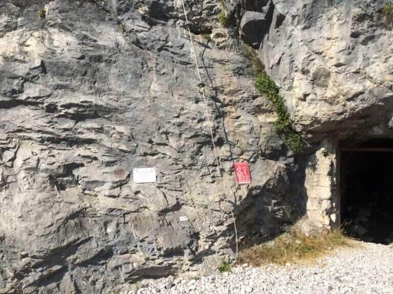
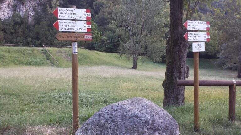
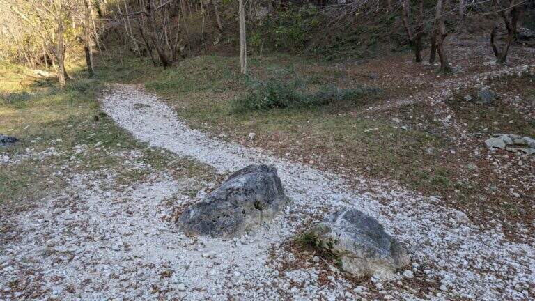
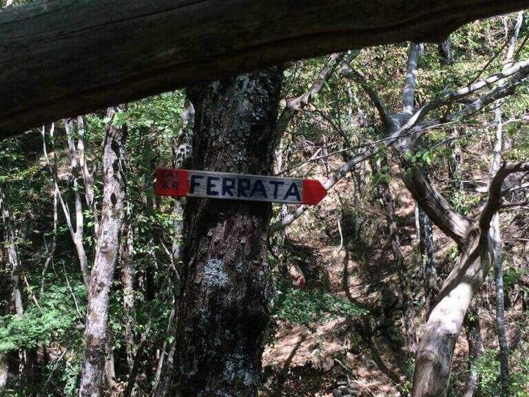
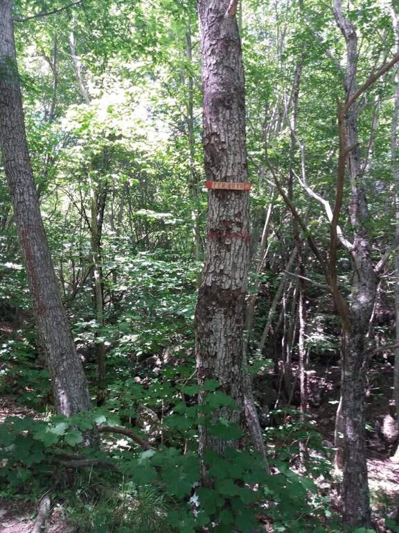
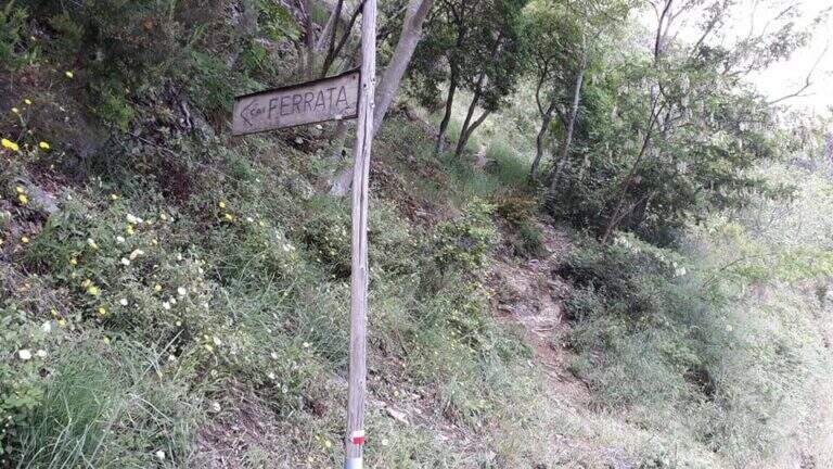
    From the tollgate of Pontebba you hold the left towards the center; over a bridge, under the viaduct of the highway you turn right on an asphalted road that continues under the highway towards the valley, becomes dirt in good condition and ends at a pedestal. Open road signs on Google Maps. Continue towards the Falesia Rio degli Uccelli following a sign that indicates l' the ferrata attack (5' from'auto), on the right side of the stream, reached with some fixed ropes just above the raw.

    ▲The path

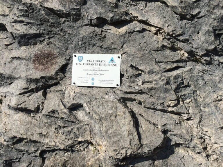
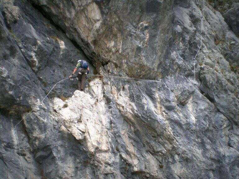
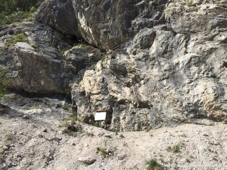
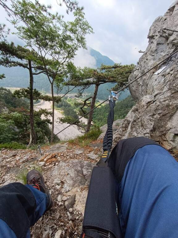
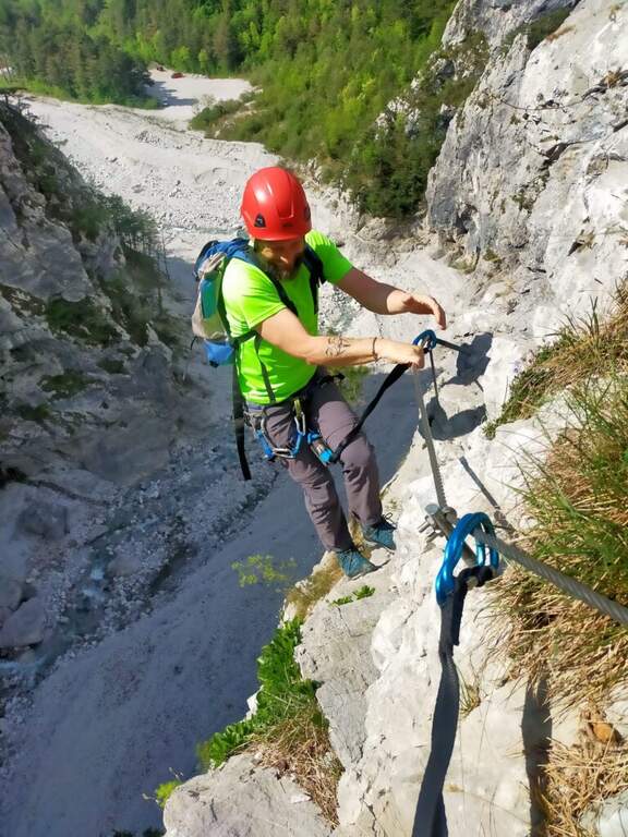
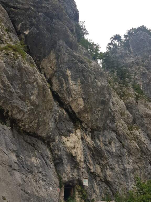
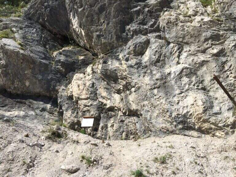
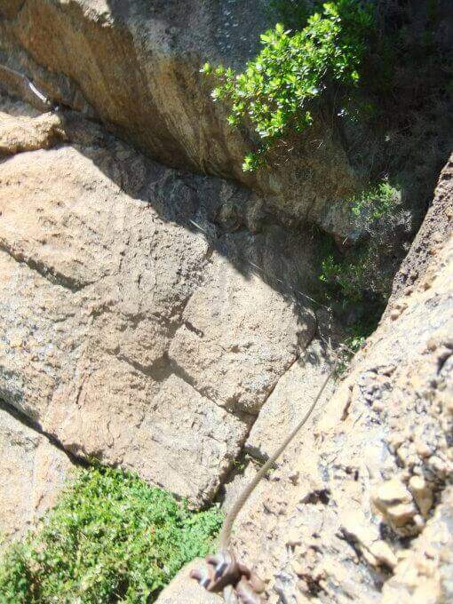
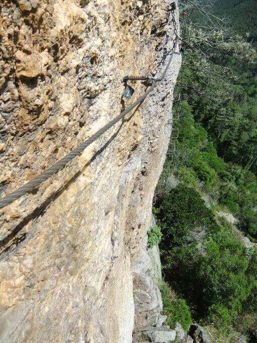
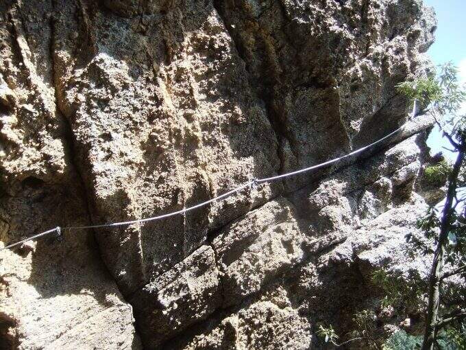
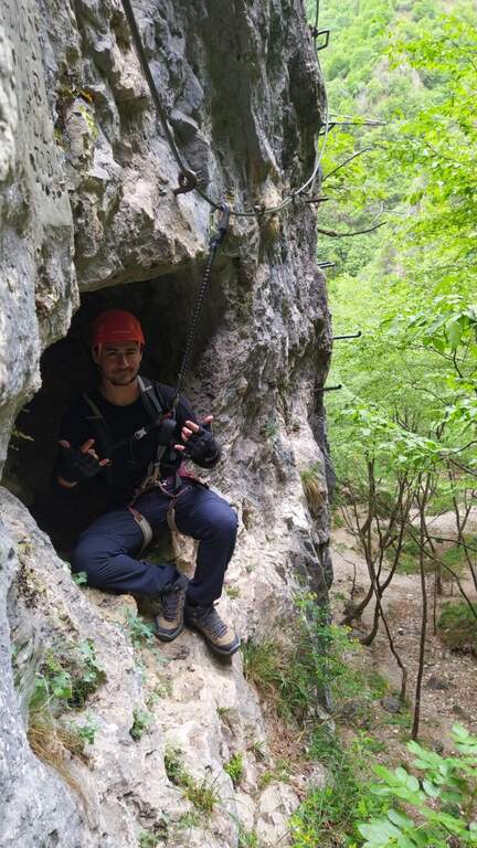
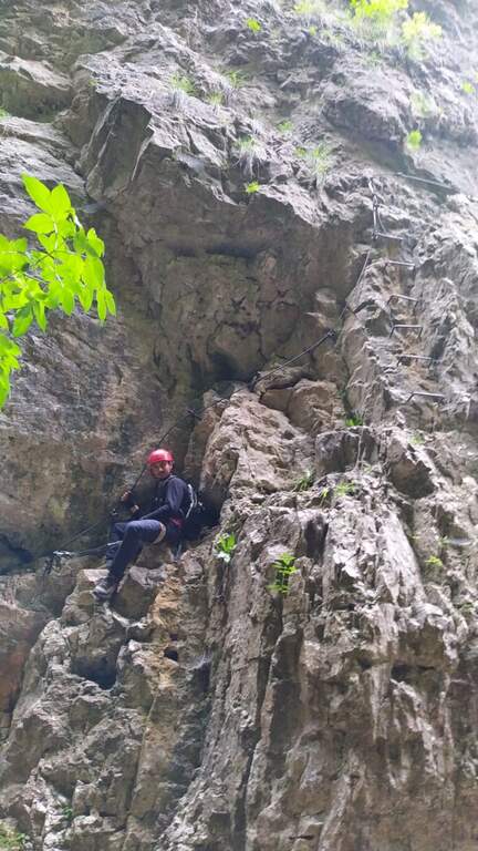
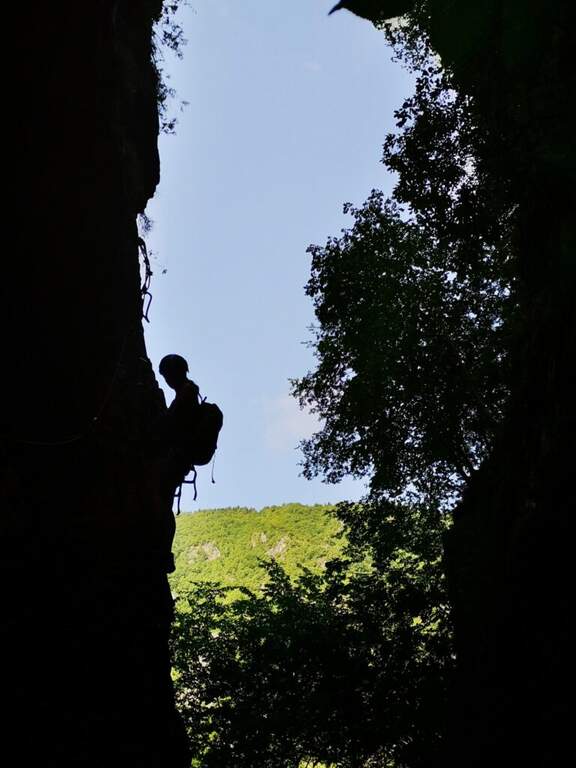
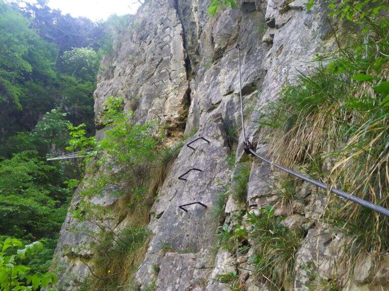
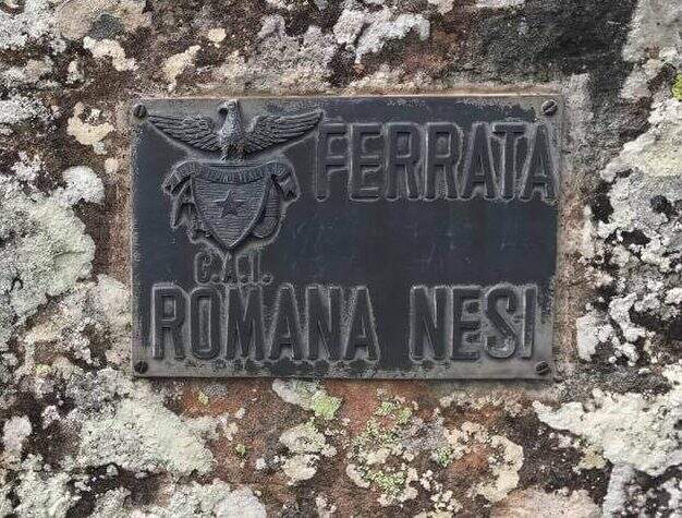
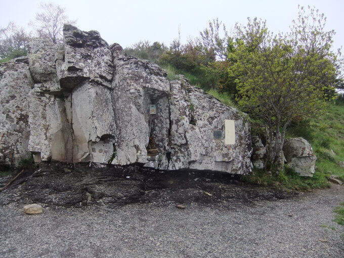
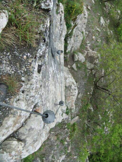
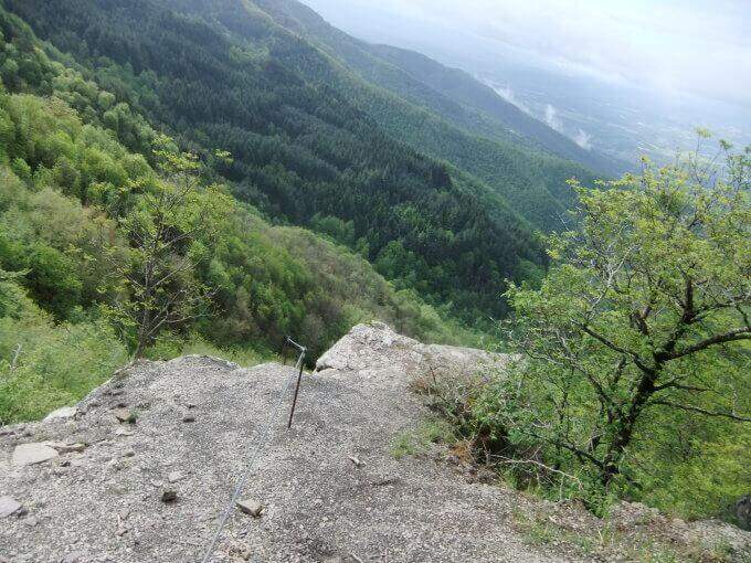
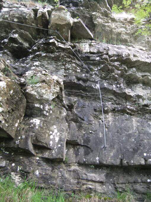
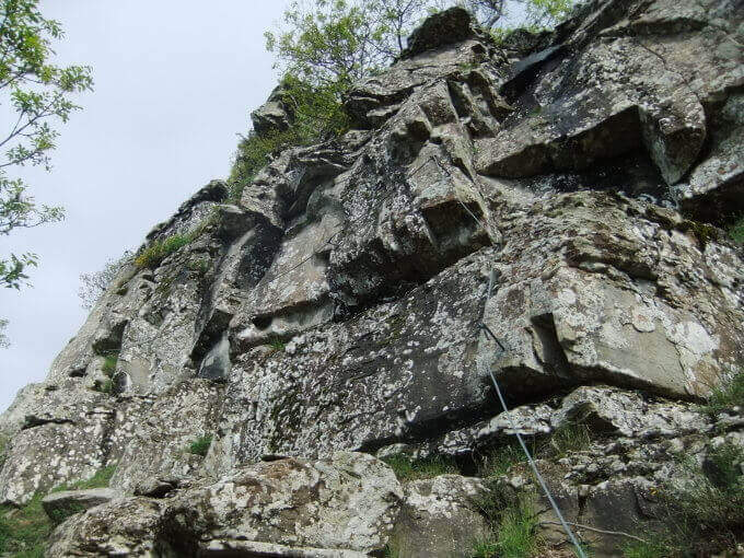
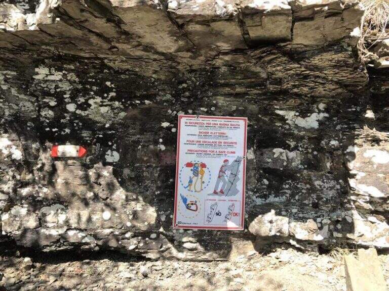
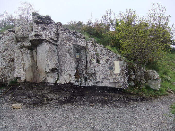
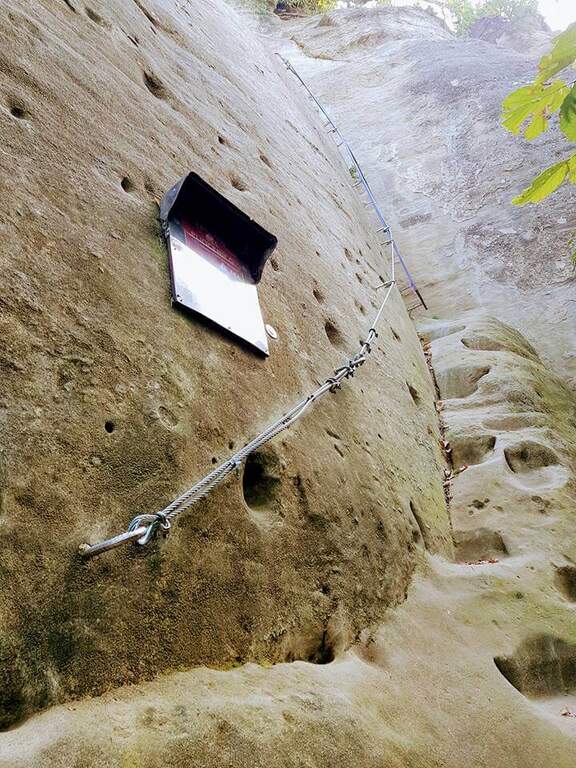
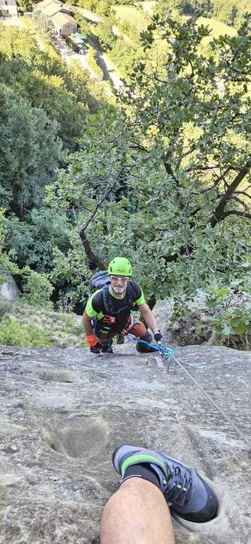
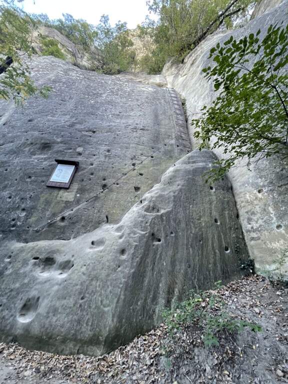
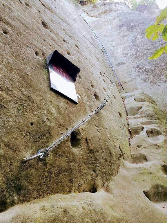
    Accanto alla targa commemorativa il cavo parte verticale e l'impostazione atletica è subito chiara. I primi metri salgono su roccia levigata e traversano a destra fino a un terrazzino con breve cengia; segue un impegnativo traverso orizzontale di 6-8 metri, dove la scarsità di appoggi per i piedi è la difficoltà principale: si scende un paio di metri e poi il cavo riparte verticale, agevolato da alcune cambre. Con l'aiuto di staffe si raggiunge un breve tratto di collegamento appoggiato (attenzione a non smuovere sassi su chi segue). Dopo una cengia a sinistra ci si porta verso un evidente diedro: lo si sale prima a destra, poi attraversandolo a sinistra senza difficoltà sostanziali grazie a numerose cambre, fino a un passo strapiombante da affrontare con decisione e rapidità (qui avviene il cambio di moschettone in pieno strapiombo). Si esce su una parete verticale molto esposta ma ricca di cambre, dove è possibile riposare; ci si sposta a sinistra su buona roccia e si sale una paretina e un bel diedro, quindi facili gradoni appoggiati. La via riparte verticale e impegnativa fino a un tratto di sentiero attrezzato tra i pini, da cui una deviazione raggiunge un pulpito. Riprende con un traverso a sinistra in leggera discesa (occhio ai sassi mobili) e uno in salita in lieve strapiombo, fino a uno spigolo da cui inizia un lungo tratto di discesa attrezzata su placca, non difficile ma che richiede attenzione nella ricerca degli appoggi. Si raggiunge così il termine della via (circa 1h 30' dall'attacco).

    ▲Character and difficulty

    Low-altitude, training and vertical, physical at the most difficult points and with new fixtures in good state. Not to be underestimated also for the long stretch of descent equipped. Level difference in ferrata 130 m, total 160 m, development 4 km.

    ⚠ Along the vertical and overhanging traits it is worth planning the stops; in the connecting tract and in the beams they are easily removed stones: maximum prudence for those below.
    ▲Period and safety

    It is a low-altitude è route; it can be reached in much of the ' year, rock conditions allowing. GPX and KMZ tracks are available.

    ▲Discipline

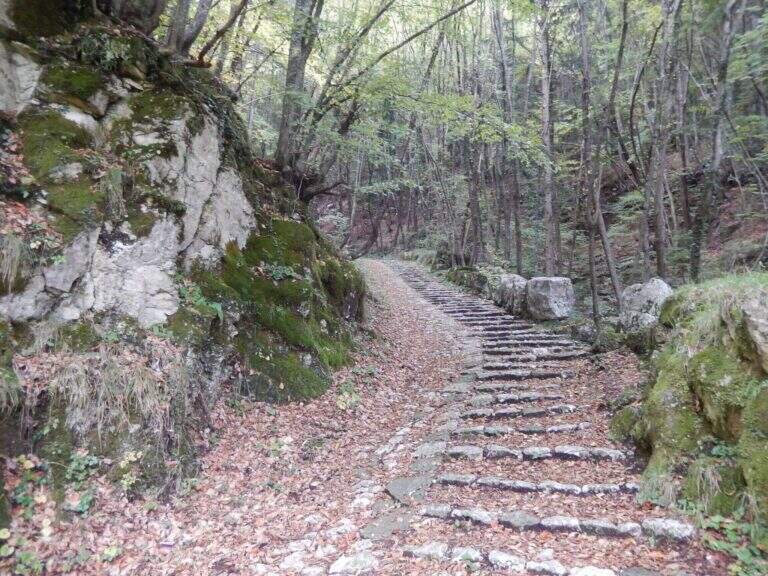
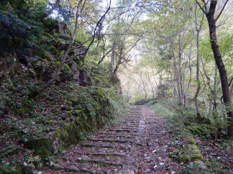
    From the end of the road follow the trail used for nearby climbing routes ( approximately 30', 2h totali).
    ▲Gallery
    Technical data
    • DifficultyVery difficult
    • RegionFriuli-Venezia Giulia
    • GroupAlps Carnia
    • Approach0:15 h
    • Ferrata1:15 h
    • Itinerary (a/r)2:00 h
    • Hardware level difference130 m
    • Route difference160 m
    • Max726 m
    • Length4 Km
  • Ferrata Sant’Antone al Monte Serra (Buti)

    Ferrata Sant'Antone al Monte Serra (Buti)

    Vie Ferrate › Tuscany › Pisa
    Ferrata Sant'Antone al Monte Serra (Buti)

    ⚠ Reported as a CHIUSA. The source shows the status of this ferrata as chiusa: check agibilità and conditions at the CAI section of Pontedera (which manages it) or the authorities; local, and do not travel untilché it is not reopened.

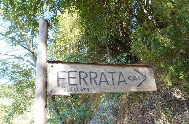
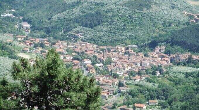
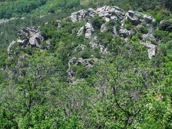
    The Ferrata Sant'Antone è a difficile street on the Pisani Mountains, between 500 and 600 meters of altitude. It has no great difference in altitude, but & made of numerous traversi exposed and overhanging that test arms and technique.

    ▲Approach

    Starting point a well visible pitch along the SP 56 that from Buti (PI) climbs to Monte Serra, recognizable for the fontana and the canton house on the opposite side. Open road signs on Google Maps. You go up the paved road for about 200 m up to the ferrata sign, you take 5' an uphill path with white-red signs and at the crossroad you will take the destra towards l' attack (10' parking ).

    ▲The path

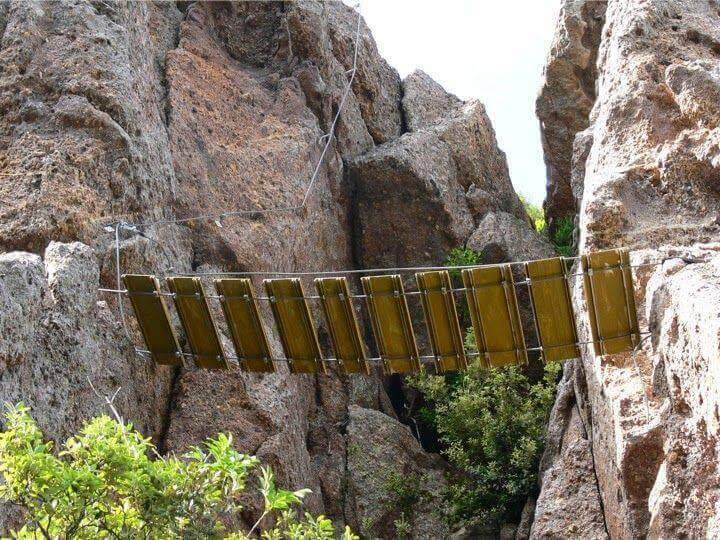
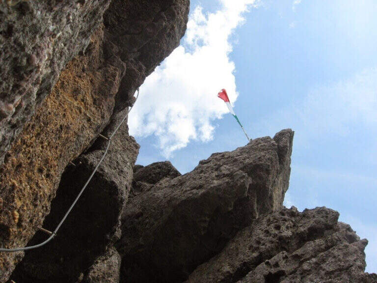
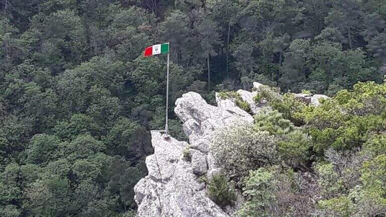
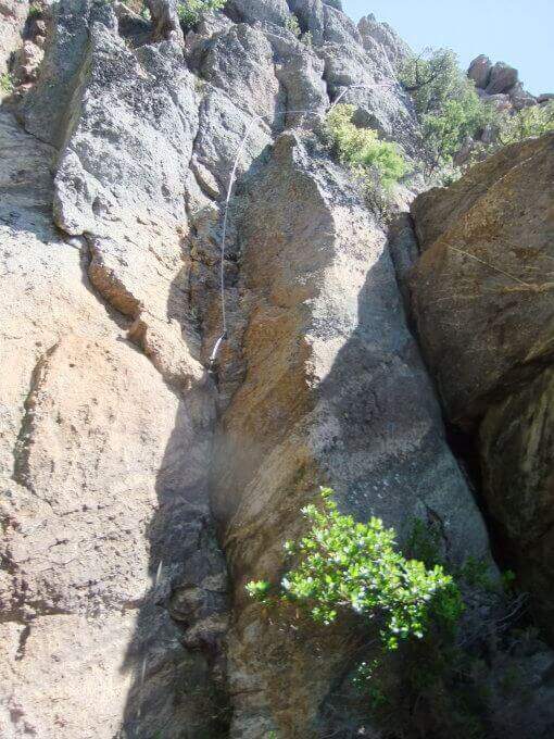
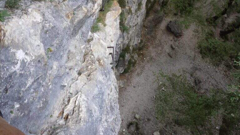
    Si parte subito con un obliquo traverso che supera uno spigolo in esposizione, in trazione sul cavo e con gli scarponi in aderenza — il tema dominante della via. Si risale una parete verticale con attacco leggermente strapiombante (aiutano le cambre), poi un esposto traverso orizzontale in aderenza, attenti alla roccia sporgente sopra la testa; un passaggio in discesa non banale (bisogna buttarsi in fuori per cercare gli appoggi) precede un impegnativo traverso a sinistra leggermente strapiombante che entra e aggira una gola. Si sale in diagonale dove un tetto obbliga ad abbassarsi, si supera un'ultima parete verticale di media difficoltà e si raggiunge una via di fuga (in salita conduce alla fine della via in 5', in discesa all'attacco in 10'). Proseguendo a sinistra, dopo un traverso obliquo e l'aggiramento di un altro spigolo esposto, si scende un passaggio in cui studiare bene la posizione per non essere sbalzati contro la roccia; seguono saliscendi, camini e traversi generalmente difficili e atletici. L'ultima sezione, più verticale, ha due passaggi più duri: un camino decisamente strapiombante (tecnico nei primi metri) e, dopo una breve interruzione delle attrezzature, un sasso da risalire in spaccata con pochi appigli e un leggero strapiombo. Alcuni traversi esposti ma non difficili portano all'ultimo bivio: a destra si conclude la via; a sinistra, dopo un traverso, un breve ed esposto ponte sospeso introduce al passaggio chiave, un tratto verticale tecnico e fisico (5 fittoni fino alla bandiera italiana), reso difficile dalla mancanza di appigli e dalla stanchezza: l'ostacolo maggiore è staccarsi dal ponte, soprattutto per chi è di bassa statura, aiutandosi poi con due singolari staffe a Y sul lato destro. Così si conclude la ferrata (1h 15' dall'attacco / 1h 25' dal parcheggio).

    ▲Character and difficulty

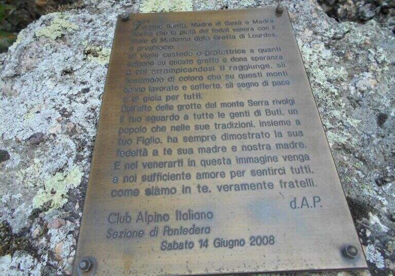
    Very varied and athletes: plenty of transverses, challenging downhill stretches, walls and fireplaces, with many overhanging steps that require good force of arms. Each stick is numbered (about 170 in everything). Inaugurated on the 14 June 2008 and managed by the CAI section of Pontedera; very exciting the descent into the ridge.

    ▲Period and safety

    Low altitude, in theory all l' year with good grip of rock; at the moment, però, the route turns out chiusa (see notice in the head). For the many transverses it lends itself to be chased back by experts.

    ▲Discipline

    From the term, a labile trace to sinistra is followed to a series of stones to be traced back and to the «Ghiaccietto» ; cross right towards the parking lot following the CAI path to the first escape route, then giù until all' attack and, backwards, all' car. After l' crossing with the escape route the signs ` poor: the road & however a few tens of più meters; below and, between shrubs and franosis traits, it is reached by holding the left (25' from the term / 1h 45' from the parking ).

    ▲To match

    In Tuscany, towards Arezzo la Ferrata Romana Nesi at Pratomagno; on the Apuans the Ferrata Salvatori e la Ferrata del Procinto.

    ▲Gallery
    Technical data
    • DifficultyHard
    • RegionTuscany
    • GroupMonti Pisani
    • Approach0:10 h
    • Ferrata1:10 h
    • Itinerary (a/r)1:50 h
    • Hardware level difference120 m
    • Route difference200 m
    • Max540 m
    • Length3,3 Km
  • Ferrata Santa Felicita (Bassano del Grappa)

    Ferrata Santa Felicita (Bassano del Grappa)

    Vie Ferrate › Veneto › Vicenza
    Ferrata Santa Felicita (Bassano del Grappa)

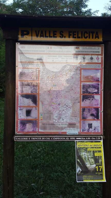
    The Ferrata Santa Felicita è a short route and atletica in' the homonymous valley near Bassano del Grappa: short but varied and intense itinerary, which requires good force of arms. It takes place in an area famous for l' sports and & leisure climbing; ideal for training in cold months.

    ▲Approach

    Starting point the parking d' access to the Valle Santa Felicita, in Romano d'Ezzelino (VI): following the directions to via Santa Felicita you leave l' car in the ' wide parking at the end of the road. Open road signs on Google Maps. You walk north along the path that leads to the wall; part of the path is tiring, on a series of steps in rock, up to the rock gym where you find the indications for the ferrata.

    ▲The path

    It attaches a beautiful vertical wall well equipped with abundant brackets, on excellent granite that, where not replaced by fixtures, offers solid hooks. The brackets move gradually to sinistra with a slight overhanging (first difficult & agrave;); after about ten vertical meters a short horizontal section on the left precedes a second vertical section, always on brackets, with which you quickly gain altitude and exposure. Take a left-hand side, using the pins for the feet, up to a vertical wall of about fifteen meters which above takes the form of a diedro along a crack: climb on brackets, move from the left to the right side of the dihedron, pass a slightly overhanging passage and exit on a left side where to rest. From the census you move left in a stretch of descent, you get around a edge and you get to the più tract; characteristic: a plane across horizontal with nails as foot support. A wall of about 6 meters is down and diagonally on the left begins l' last section, with a slight descent (again on nails); it loses altitude until the end of the crossing, a vertical wall is descended on brackets and a diagonal ramp equipped until the end (30' from' attack / 1h 15' from parking ).

    ▲Character and difficulty

    Short but intense and challenging, with strong exposure throughout the route. Difficult & Agrave; they are mainly athletic: the possibility to climb ` limited by ' abundant use of brackets and piles, and serves good force of arms.

    ⚠ Strong exposure and athletic steps: not recommended to those who are not trained in arms. Excellent in winter for low altitude, but always with dry rock.
    ▲Period and safety

    Low altitude (maximum 350 m): most of the year can be traveled, indicated as training in cold months.

    ▲Discipline

    From the end, a path returns in short to the' the return to the car park takes place on the backward approach path (30' from the term / 1h 45' totali).

    ▲To match

    Near the Grappa massif, it is combined in the day with one of the two itineraries that go up: the Ferrata Sass Brusai e la Ferrata Guzzella. To the north Ferrata Gabrielli to the Cima d'Asta; in Val d'Astico the recent Ferrata Anelli delle Anguane.

    ▲Gallery
    Technical data
    • DifficultyHard
    • RegionVeneto
    • GroupGrappa Massif
    • Approach0:45 h
    • Ferrata0:30 h
    • Itinerary (a/r)1:45 h
    • Hardware level difference40 m
    • Route difference140 m
    • Max350 m
    • Length3 Km
  • Ferrata Romana Nesi al Pratomagno

    Ferrata Romana Nesi al Pratomagno

    Vie Ferrate › Tuscany › Arezzo
    Ferrata Romana Nesi al Pratomagno
    Moderately Hard● ClosedDescriptionComplexityMapsGallery

    ⚠ Reported as a CHIUSA. The source shows the status of this ferrata as chiusa: before programming l' check out the conditions and l'agibilità at the CAI of Arezzo or the local authorities, and do not travel until it is reopened.

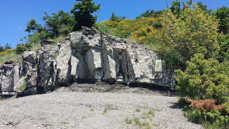
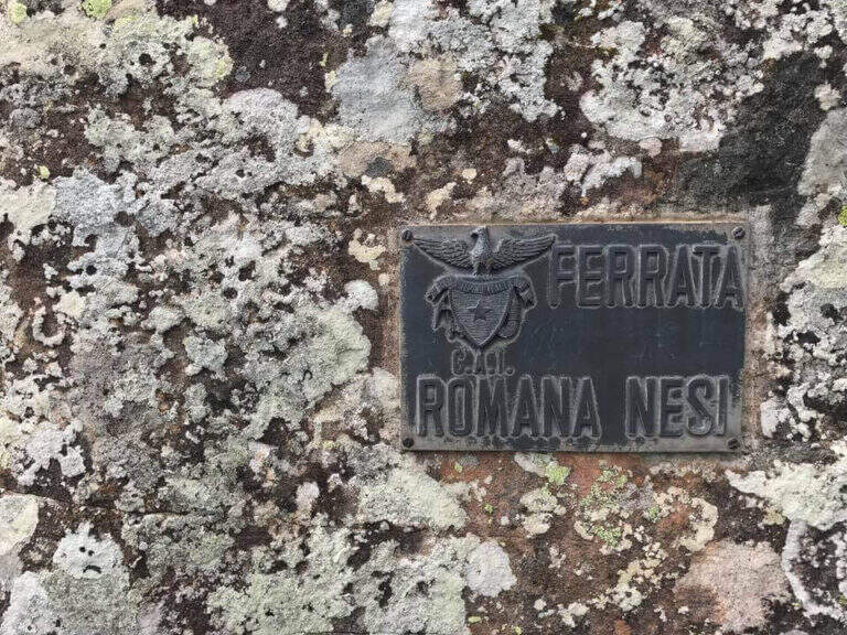
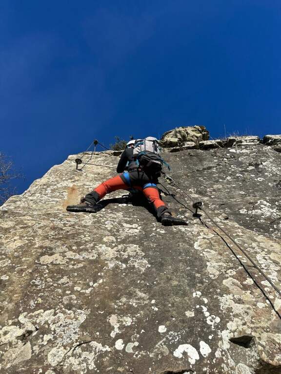
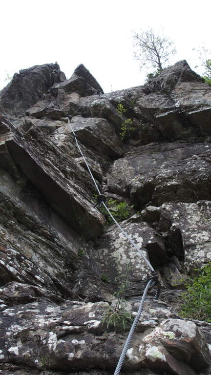
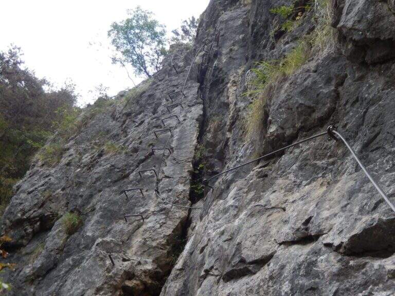
    La Ferrata Romana Nesi è a short and athletic route along the Overview of the Pratomagno. It does not stand out for l' environment né for l'arrampicabilità, but for l'atleticità of some passages and for the possibletà to travel it in every season; with approach and return l' the whole excursion closes in little più of two hours.

    ▲Approach

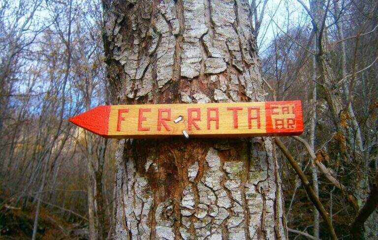
    You arrive along the Strada Overview of Pratomagno: exit at Valdarno you reach Terranuova Bracciolini (SP 11), then Loro Ciuffenna (SP 5) and the fraction of Anciolina. Crossing the village you go up for a couple of minutes until a crossroads: on the left the Pratomagno, you hold the destra downhill ; after about 400 m a sledge (often with stacked wood) allows you to park, and a little further, on the left, a second road above the edge. Open road signs on Google Maps. A piedi si risale la strada per circa 200 m fino a un largo e ripido sentiero segnalato da un cartello del CAI di Arezzo; dopo qualche centinaio di metri si seguono due segnavia (freccia rossa su un sasso e su un albero) che salgono a destra, si supera il greto di un torrente di solito asciutto e, per facili roccette seguendo i segni bianco-rossi, si arriva all'attacco (25' dal parcheggio).
    ▲The path

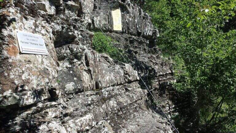
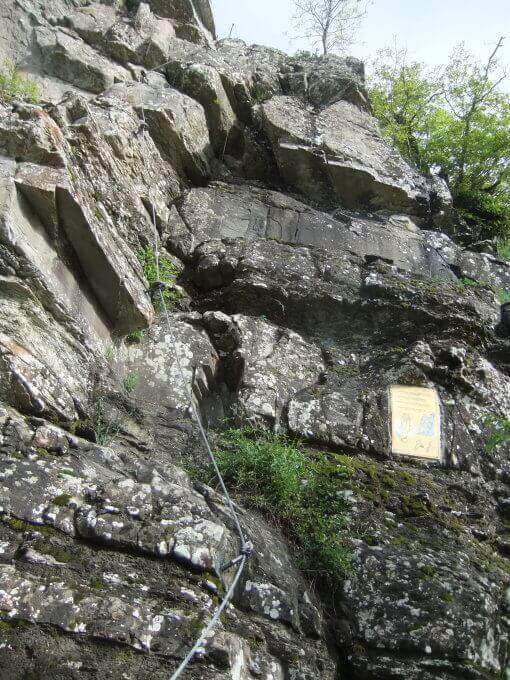
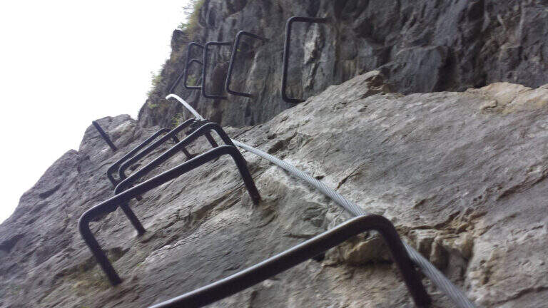
    La via è breve e risale una serie di balzi rocciosi con un tracciato non sempre logico, che rende atletici alcuni tratti. Il primo tratto sale una parete di una decina di metri dove, per mancanza di appigli, è difficile non trazionare sul cavo, poi una parete apparentemente liscia in cui si trovano alcune rientranze; si stacca e per sentiero si raggiunge il secondo tratto, con una cengia protetta e una parete leggermente strapiombante dove sfruttare infissi ed esili appigli (cambio moschettone rapido per non sforzare le braccia). La terza sezione, la più difficile, è una parete verticale priva di appigli da superare in aderenza e trazione, con uno spigolo esposto e un diedro finale ancora in aderenza. Il quarto tratto è un diedro che, dopo un balzo iniziale per staccarsi da terra, diventa arrampicabile e piacevole; si raggiunge un masso attrezzato (aggirabile) e l'ultima parte, con un diedro e uno spigolo affilato ma ben appigliato, fino all'ultimo salto che conclude la via (1h dall'attacco / 1h 30' dal parcheggio). Ogni sezione è aggirabile per sentiero, così da poter evitare le parti non desiderate.

    ▲Character and difficulty

    Environment without any particular difficulties;; the difficulties; are «cercate» in the various balconies, at the expense of ' climbing. Created by the CAI of Arezzo in 1992, & useful as a test bench and as a winter training in view of summer più excursions; challenging.

    ▲Period and safety

    Low share, in theory, can be traced all l' year; at the moment, however, the route turns out chiusa (see notice in the head). Paths of approach and return excellently marked.

    ▲Discipline

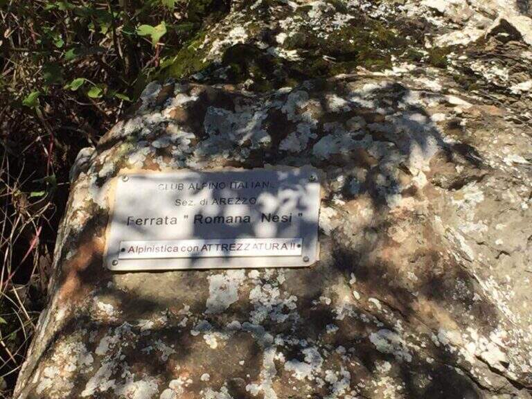
    From the term you follow a few meters of track to the plate of the ferrata; the più return; quick & free; for the traccia of left, which goes down alternating woods and stretches discovered to the asphalted road. You go downhill to the left until the junction reached by car; ignored the deviation to the right, continue straight downhill until all' car (30' from the term / 2h from ' start).

    ▲To match

    In Tuscany, towards Pisa, la Ferrata Sant'Antone on Mount Serra; in the Apennines, the Ferrata Salvatori alla Pania Forata. For those who climb from A1, in Emilia, the Ferrata di Rocca di Badolo.

    ▲Gallery
    Technical data
    • DifficultyModerately Hard
    • RegionTuscany
    • GroupPratomagno
    • Approach0:25 h
    • Ferrata1:00 h
    • Itinerary (a/r)1:50 h
    • Hardware level difference180 m
    • Route difference300 m
    • Max1280 m
    • Length4,5 Km
  • Ferrata di Rocca di Badolo (Contrafforte Pliocenico)

    Ferrata di Rocca di Badolo (Contrafforte Pliocenico)

    Vie Ferrate › Emilia-Romagna › Bologna
    Ferrata di Rocca di Badolo (Contrafforte Pliocenico)
    Moderately Hard● OpenDescriptionComplexityMapsGallery

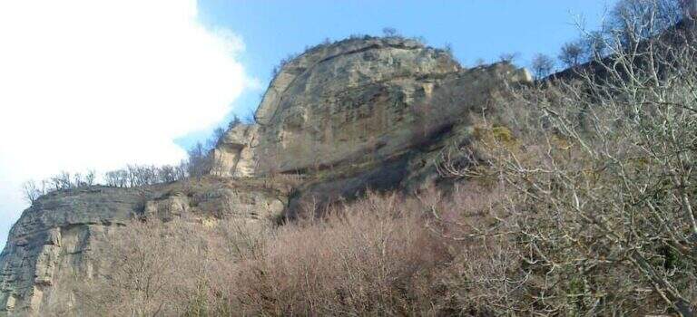
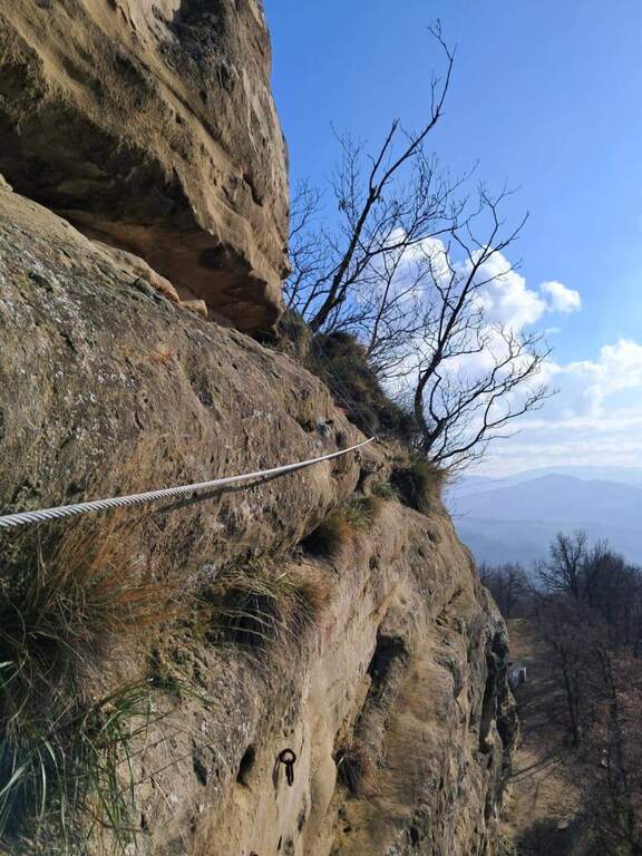
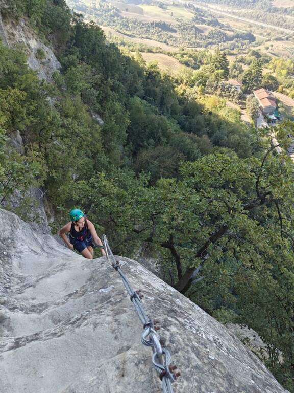
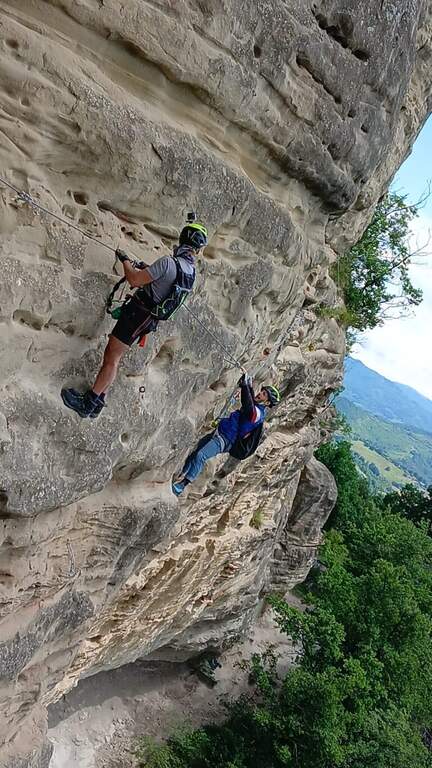
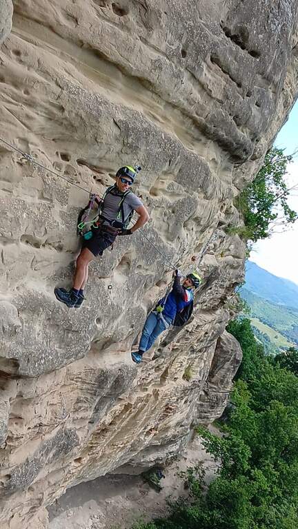
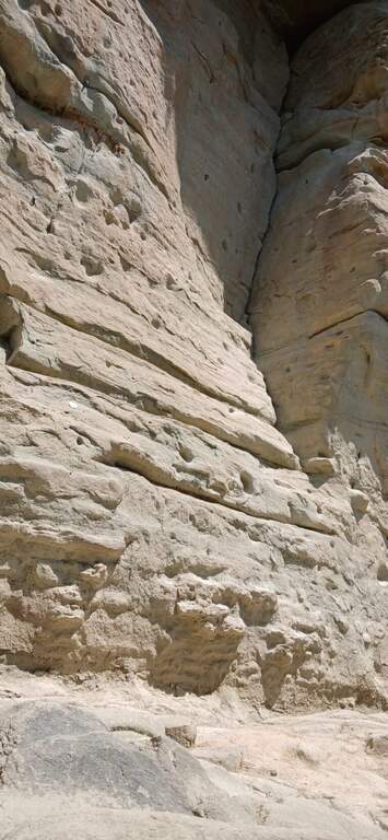
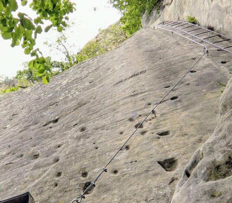
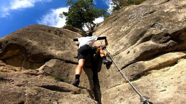
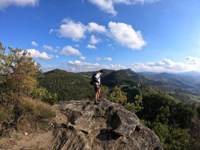
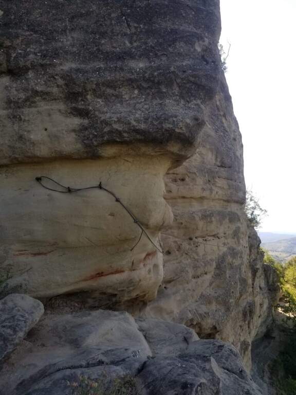
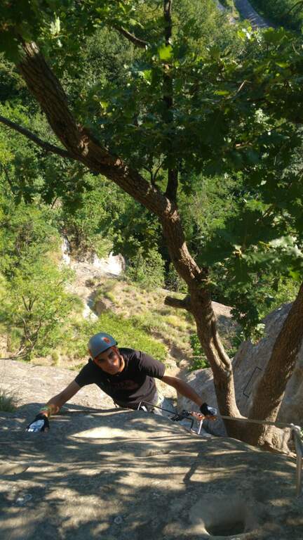
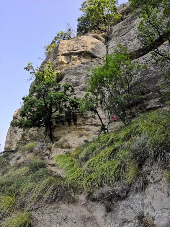
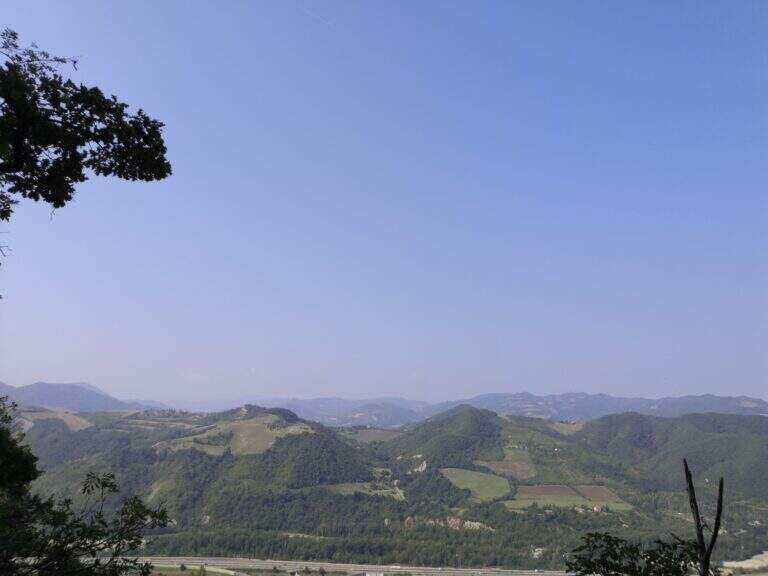
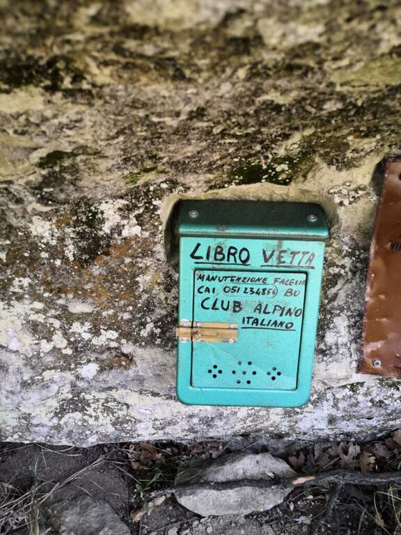
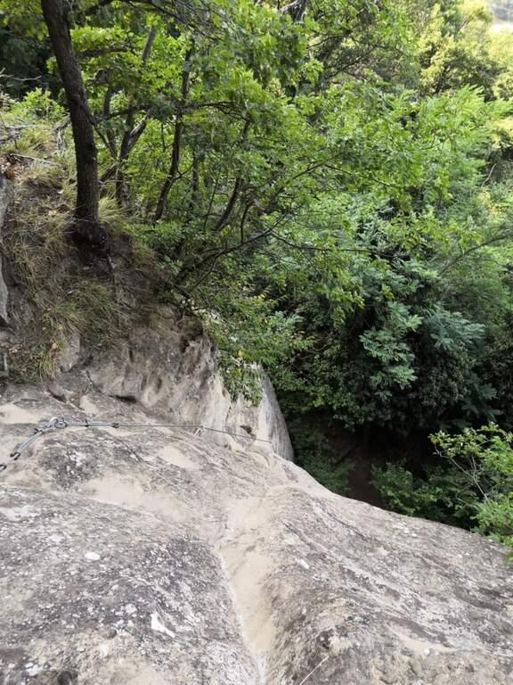
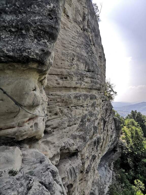
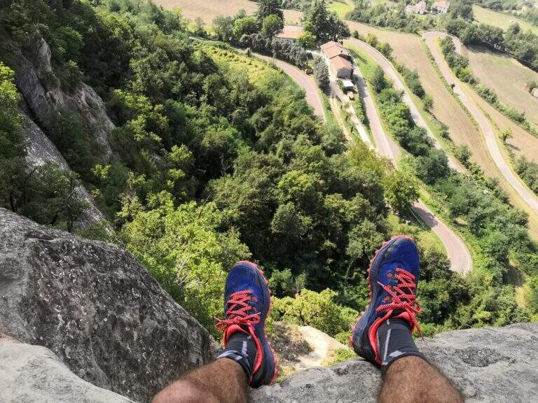
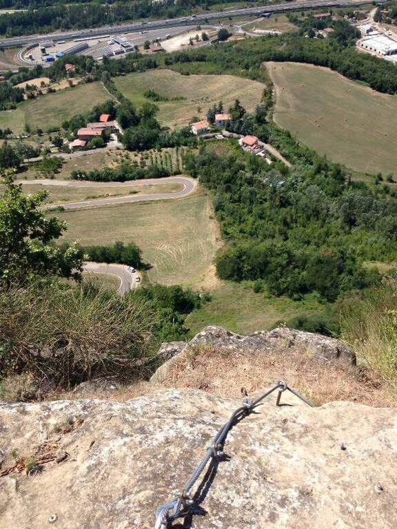
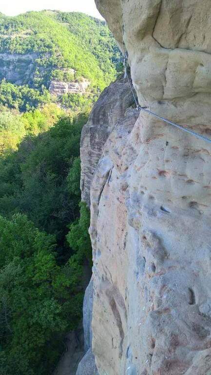
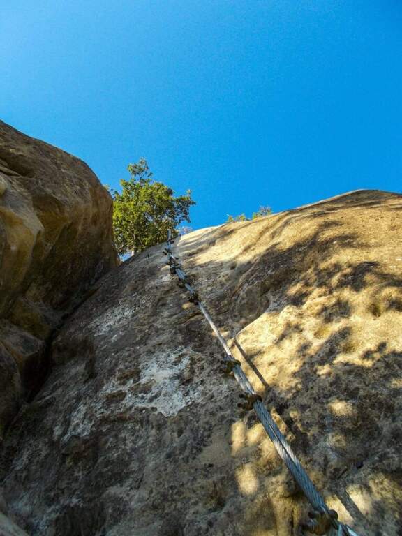
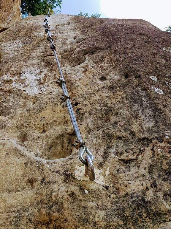
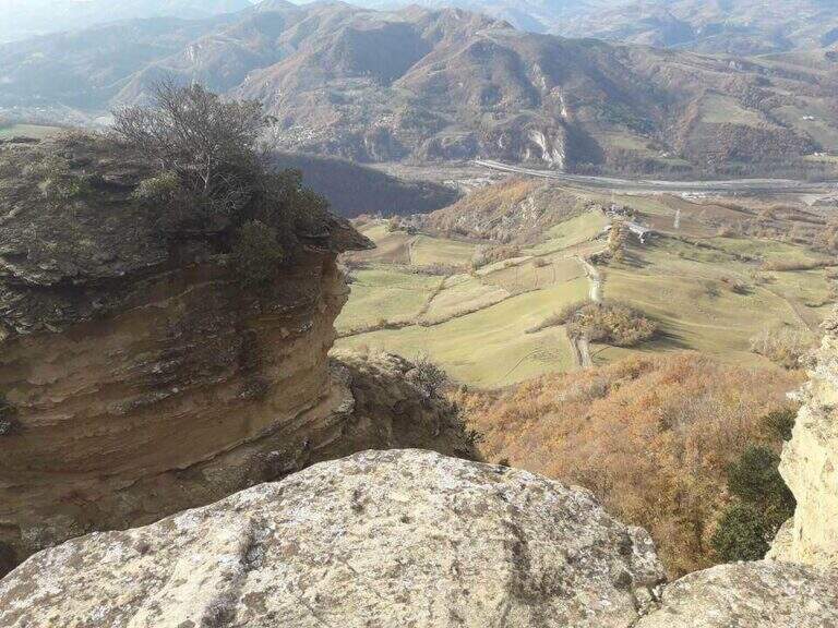
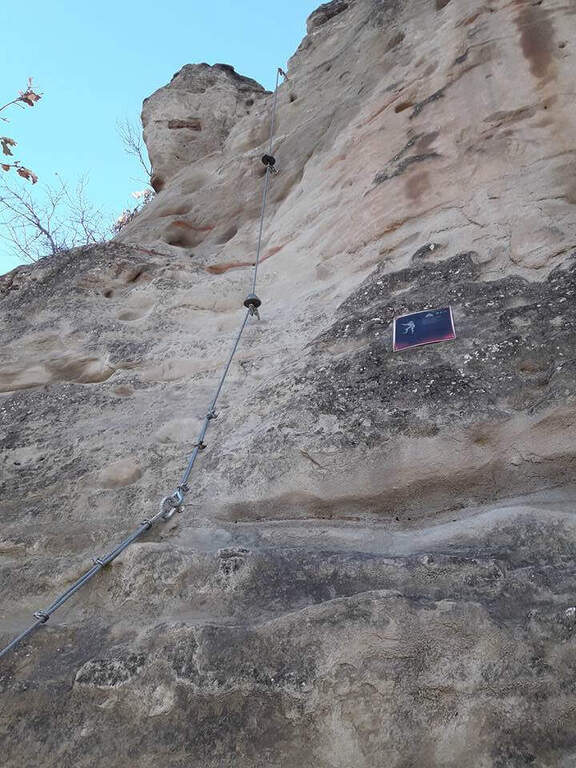
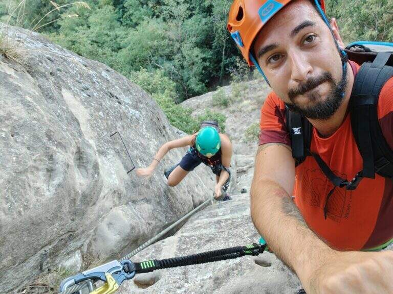
    The Ferrata di Rocca di Badolo dates back to the Contrafforte Pliocenico above Badolo, in'Appennino bolognese. The characteristic sandstone rock, covered by a thin layer of sand and sé rather smooth, è the dominant note: short but with some passage not to be underestimated, è un' excellent gym to improve climbing technique.

    ▲Approach

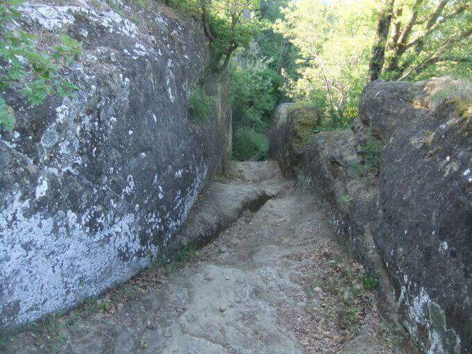
    Exit from the 'A1 to Sasso Marconi, turn left on the SS 325 and then right towards Badolo; go up the provincial road for 9 hairpin bends and park on the road (at the ninth round an illustrative table; the wall è già well visible). Open road signs on Google Maps. On the way uphill a cultivated field up to the wood, continue straight towards the wall and, reaching it, is held the sinistra: in a few meters there is l' attack (10' from parking ).

    ▲The path

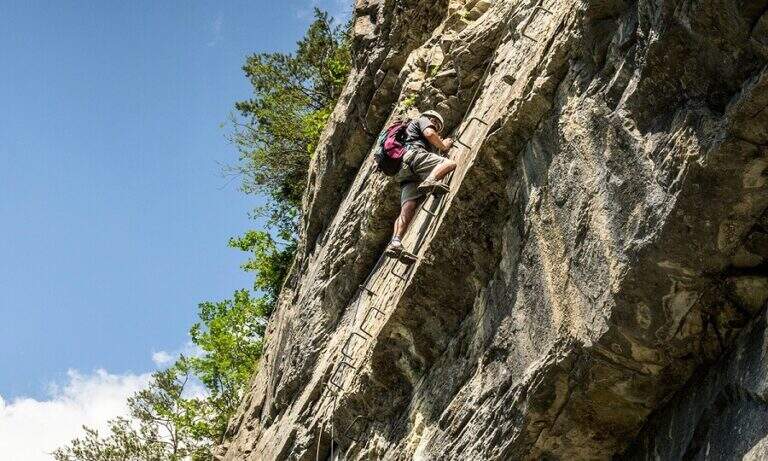
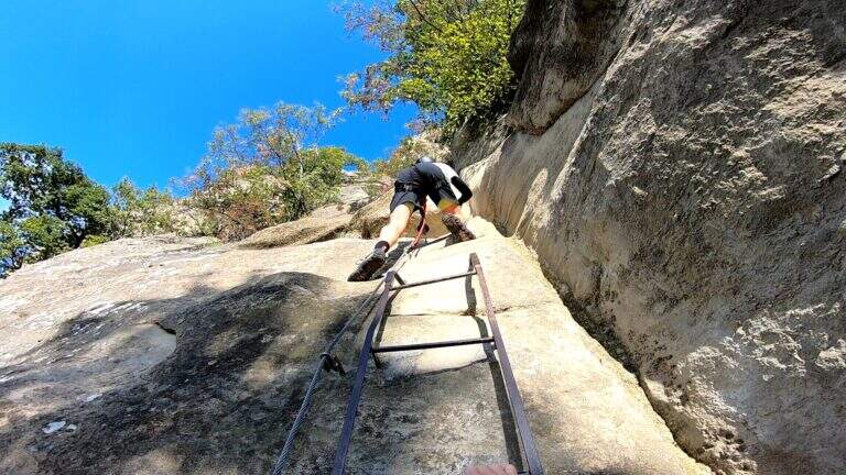
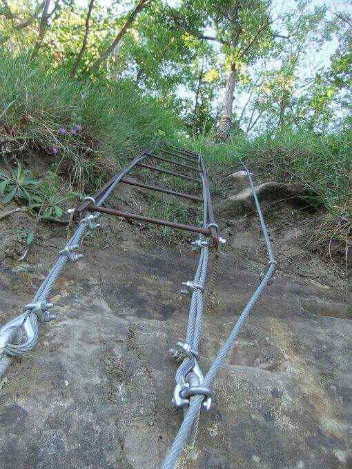
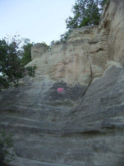
    The route is divided into tre parts. (1) A first sloped wall goes up to a dihedron with a pioli scale; at the end a slightly overhanging wall requires attention (10' from the attack / 20' from the parking lot). (2) It climbs vertically on a smooth wall with carved cracks, then with the help of artificial brackets and holes; a short overhanging staircase throws out but, given the brevity, does not create athletic difficulties. You reach a large terrace (on the right the stops of the climbing routes, on the left continues the third part). (3) A wall of 6 meters (adjustable to the left) throws slightly out: without rope it serves attention, because in case of fall you risk to beat below. A short steep stretch of path leads to all' last wall, the diedro finale, the technically più point; challenging: the cable position and hooks pushes towards l' outside and requires climbing; è tight in some points and requires firm step and a minimum of technique, but è short (8 meters) and little tiring. It ends with a ladder that leads to the top of the summit plateau (30' from' attack / 40' from parking ).

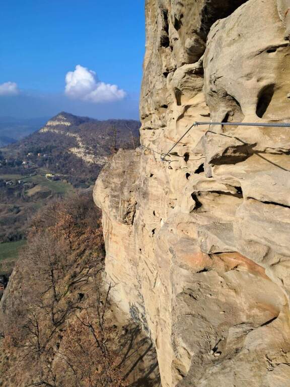
    Since 2022 there is a più variant; challenging, the « Traverso dei Magnifici 4» (dedicated to Oscar Belotti, Nando Stagni, Augusto Righi and Otello Olivini): a horizontal traverse in strong exposure that cuts the paretone of Badolo Alto. It breaks down to methylagrave; of the third section, avoids the final dihedron and does not take to the top in Rocca Badolo; può be also routed in reverse direction at the end of the itinerary, descending from the top to the streets of Badolo Altissimo (south) and following the sign at the monotiri, clockwise, then trace the final dihron. È classified «Difficile» and travel in about 5 minutes.

    ▲Character and difficulty

    Itinerary not complex but with passages not to be underestimated for the nature of the arenary, smooth and sandy. Built in 1976 to facilitate access to the climbing sectors of Badolo Medio and Alto, modernized by CAI in Bologna 2015, with the Magnificent Cross 4 added in 2022.

    ⚠ On the Via dei Magnifici 4 it is a longe for the scarcity of supports. Absolute care not to move stones, especially if there are climbers in the cliff below.
    ▲Period and safety

    Low altitude (maximum 476 m): practicable almost all year round, excellent as training. Route difference 100 m, development of the route about 2.5 km.

    ▲Discipline

    From the top floor you descend from the opposite side following the steep tracks in the forest to a half-coast path, which takes you to destra; in a few minutes you reach a small church and, for mule track, in 10 minutes the provincial. It goes down again for a couple of hairpin bends up to' car (20' from the term / 1h from ' beginning of the ' itinerary).

    ▲To match

    For those arriving from the northwest on the A1, it combines well with the Ferrata Pietra Nera (exit Salsomaggiore-Fidenza). In the Emilian Apennines, the Stone of Bismantova, the Alpine Ferrata and the recent West Ferrata; towards Tuscany the Ferrata Sant'Antone (Pisa) and the Ferrata Romana Nesi (Arezzo).

    ▲Gallery
    Technical data
    • DifficultyModerately Hard
    • RegionEmilia-Romagna
    • GroupPliocenic counterfeit
    • Approach0:10 h
    • Ferrata0:30 h
    • Itinerary (a/r)1:00 h
    • Hardware level difference100 m
    • Route difference225 m
    • Max476 m
    • Length2,5 Km
Need help? Write to us!