Caratteristica: Ambiente del Monte Bianco

  • Sentiero Attrezzato Francesco e Giuditta Gatti al Mont de la Brenva

    Sentiero Attrezzato Francesco e Giuditta Gatti al Mont de la Brenva

    Vie Ferrate › Aosta Valley › Aosta
    Sentiero Attrezzato Francesco e Giuditta Gatti al Mont de la Brenva
    Moderately Hard● OpenDescriptionComplexityMapsGallery

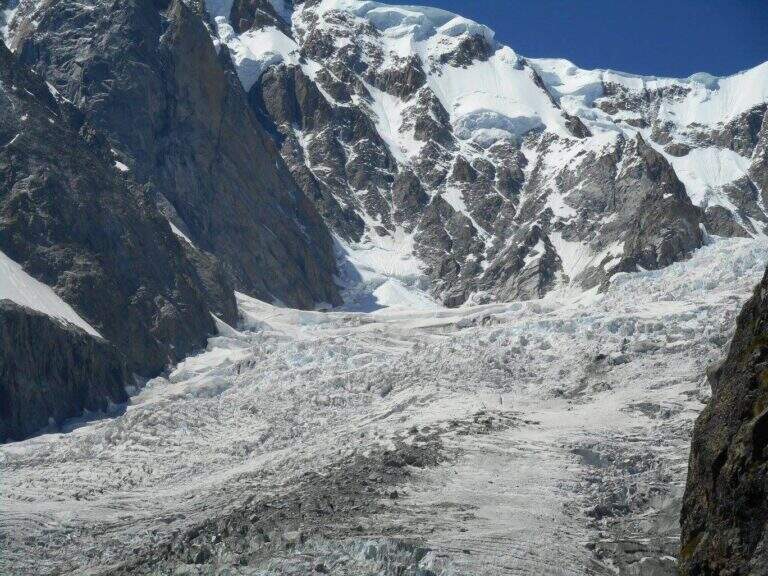
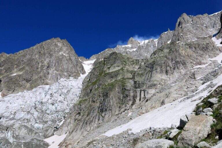
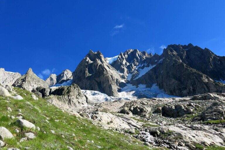
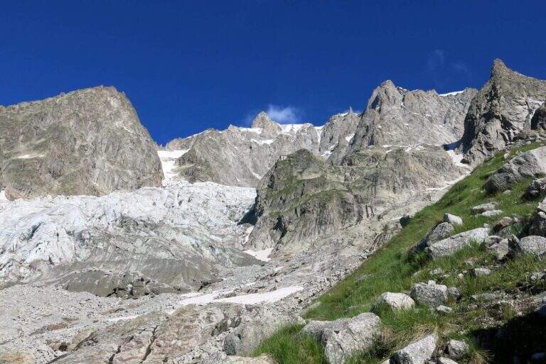
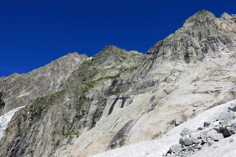
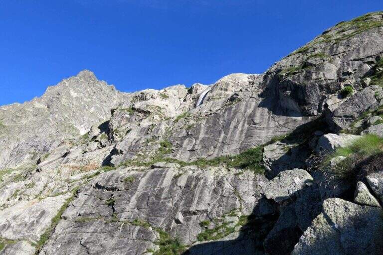
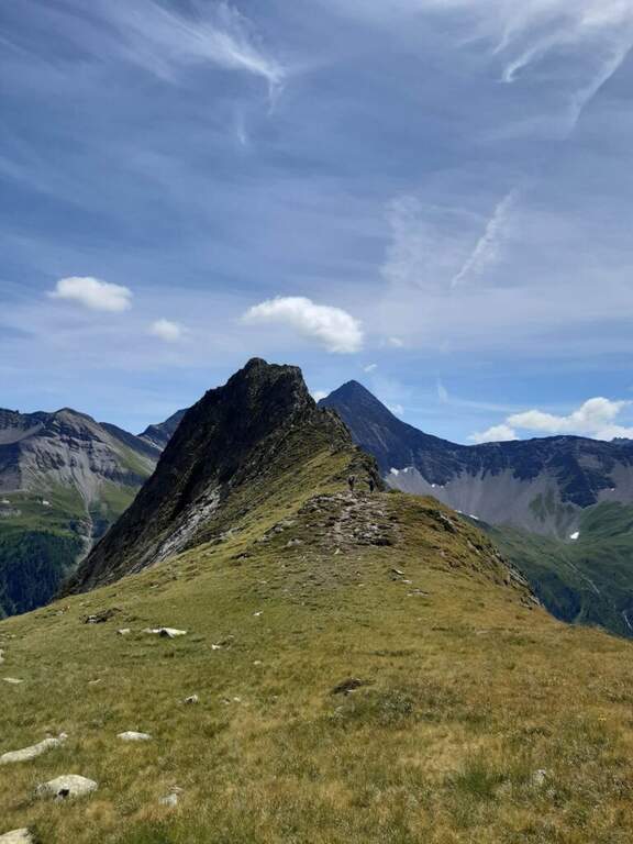
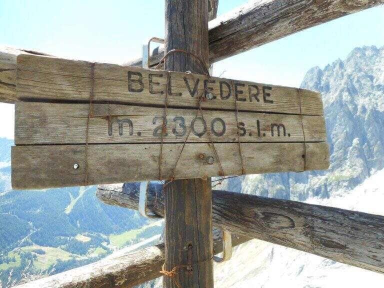
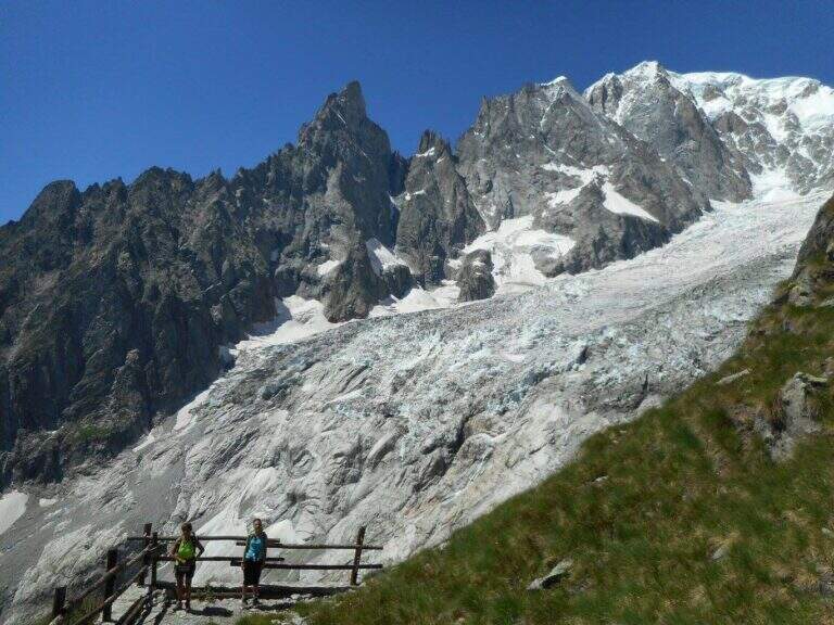
    Il Sentiero Attrezzato Francesco e Giuditta Gatti at Mont de la Brenva è an equipped route of difficult and difficult media; in the alpine environment, at the slopes of the Mont Blanc group. It leads to a panoramic plateau – the Belvedere – with a view between the pi` beautiful of all the Western Alps.

    ▲Approach

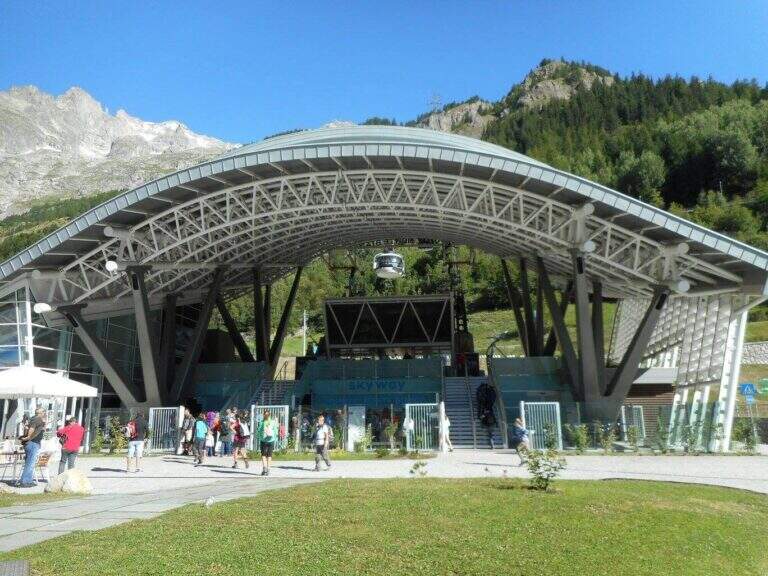
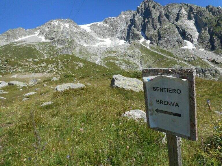
    From the mountain station of the cable car of La Palud (Courmayeur, Aosta). Open road signs on Google Maps. We descend to the first stop of the route « The Palud–Punta Helbronner» and follow the path in a slight ascent next to the botanical garden Saussurea; at the first crossroad you will keep the left on a well-marked path that crosses the grassy slopes towards the moraine of the Toula glacier. A short stretch equipped with a chain exceeds some rocks and reaches a ' panoramic area with bench, where the equipped stretch begins (30' from the mountain station).

    ▲The path

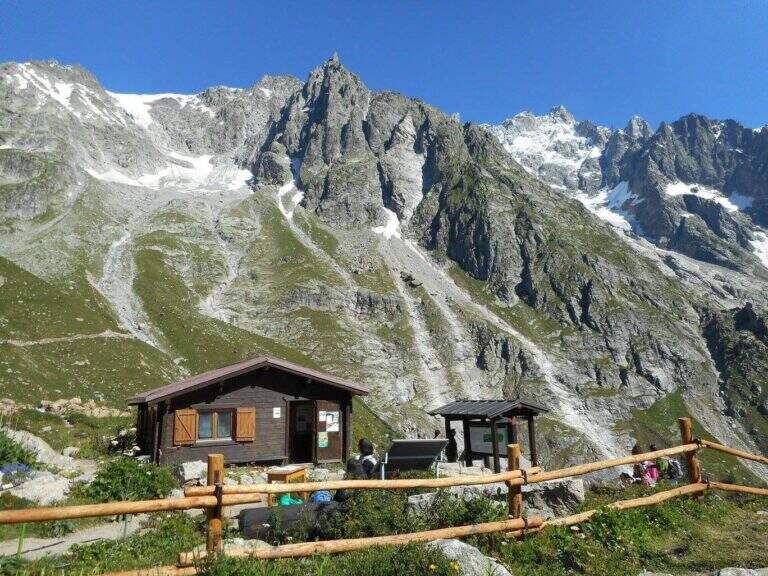
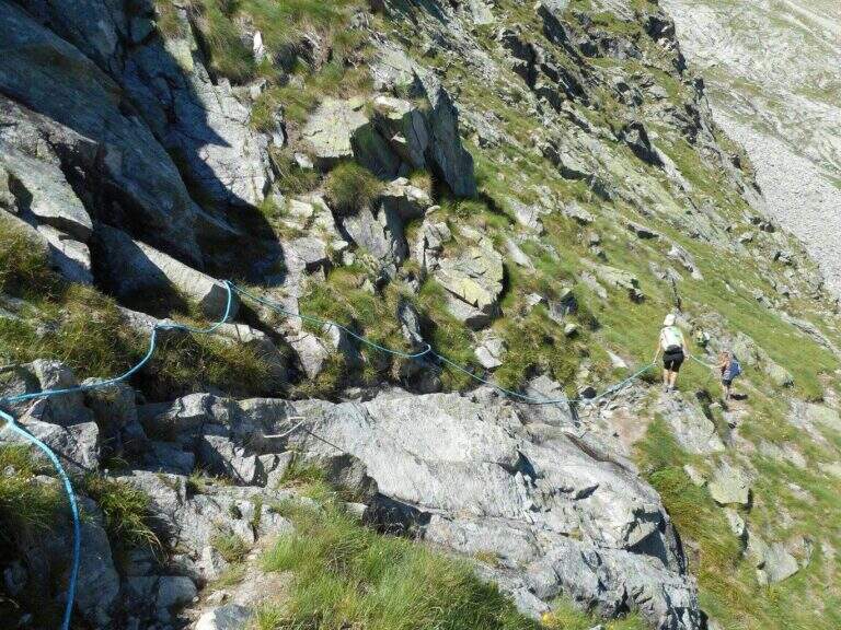
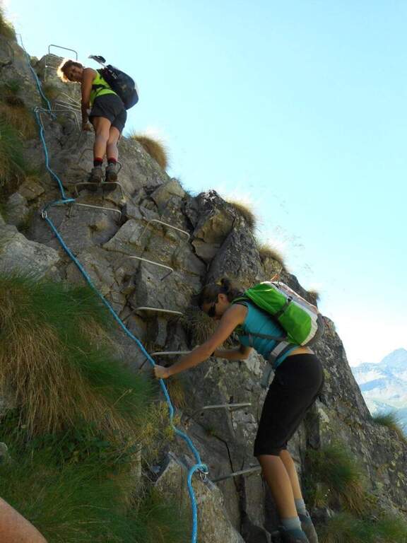
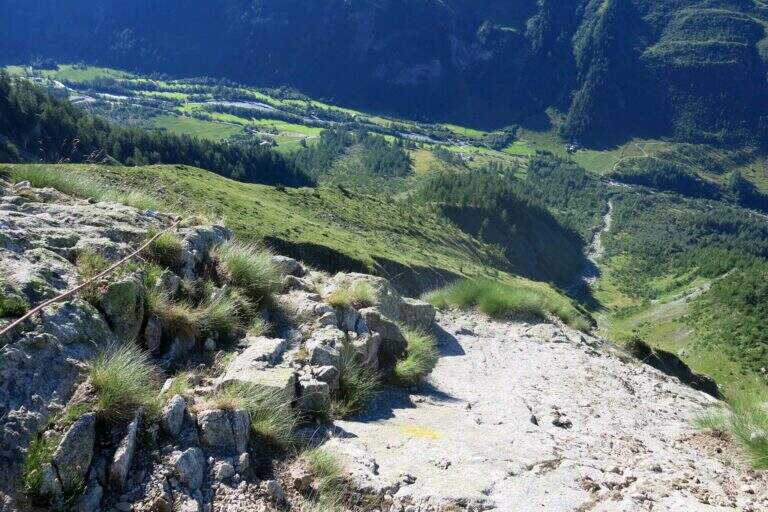
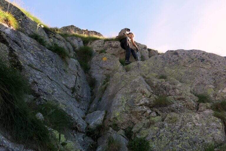
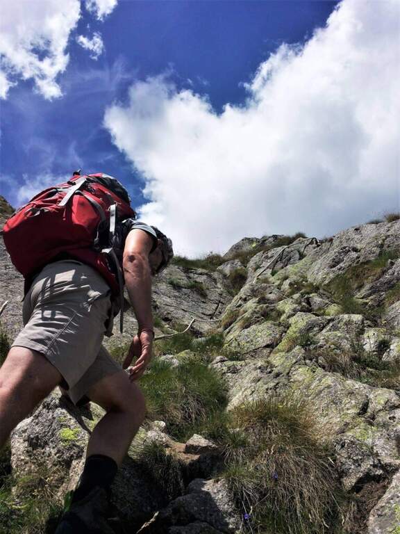
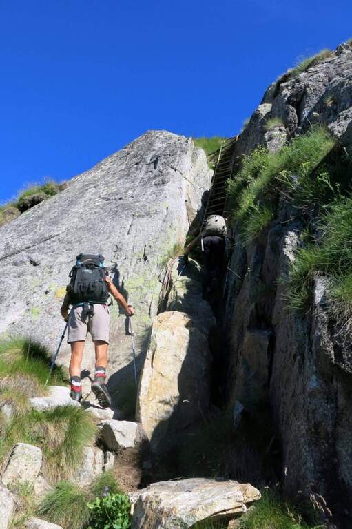
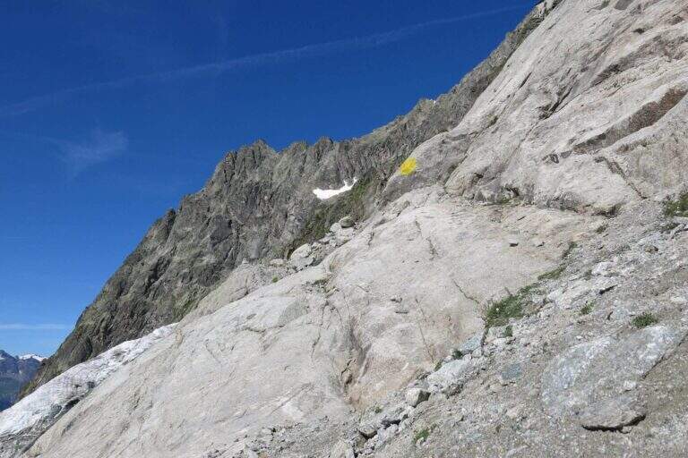
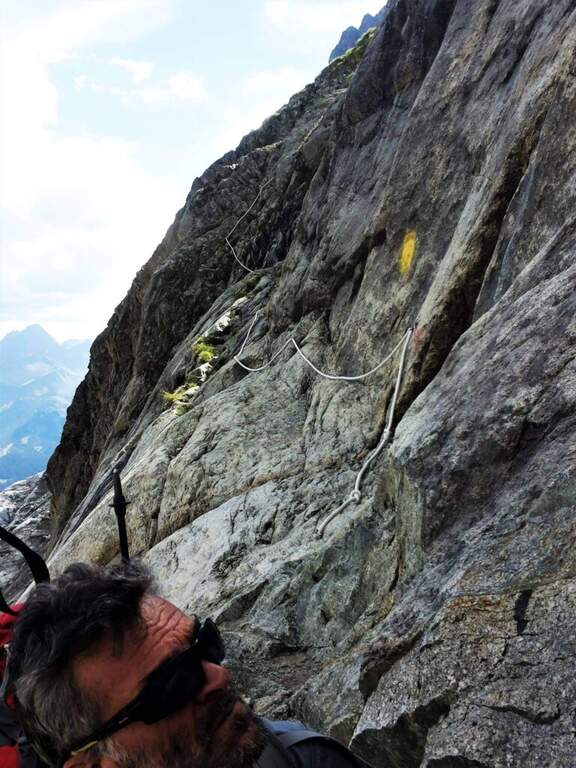
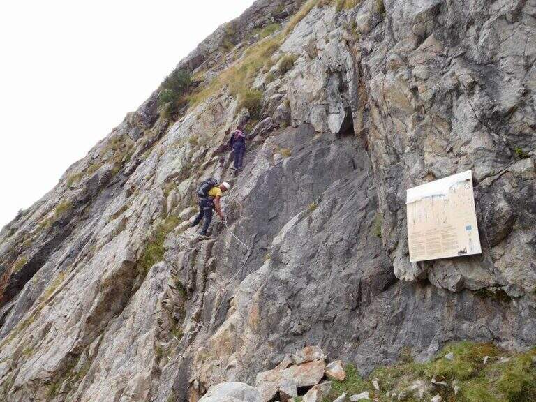
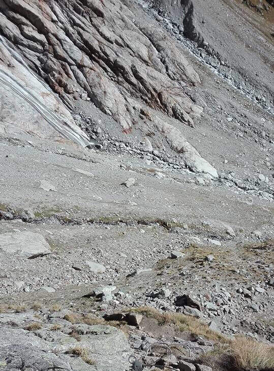
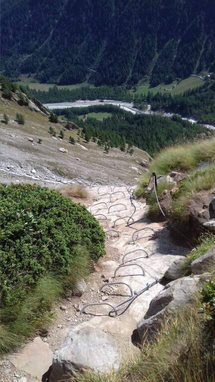
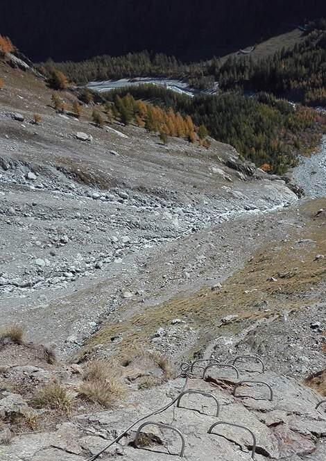
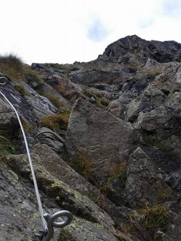
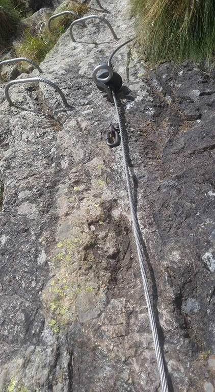
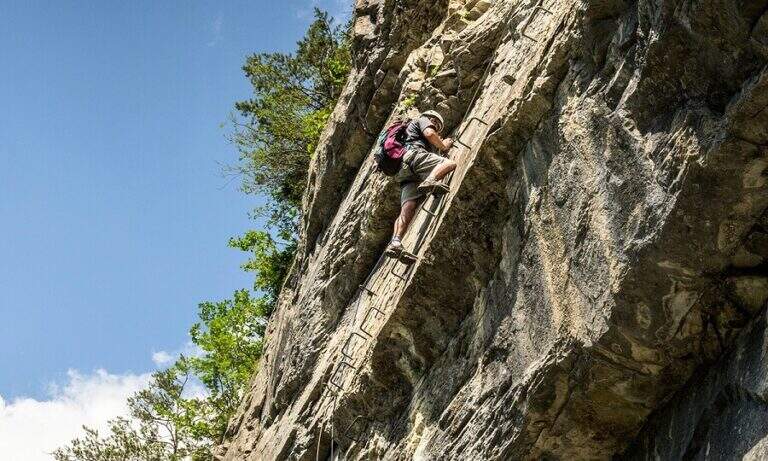
    The equipped part starts going down the eastern shoe of Mont de la Brenva, with steep stretches in which the rope dà safety; a downhill section of III degree, not difficult, è supported by the chain. Continue on half-coast with climbs and descents, assisted by chain and brackets on the right side, and cross a pietraia (yellow signs); at the end a path goes steeply towards the rocks of Brenva to the Belvedere (2300 m, 1h 30' from' start of the stretch), with views of the Bremayn.

    ▲Character and difficulty

    Path equipped not long and not difficult, but in the alpine environment and with exposed sections where the protections are essential; the view from the Belvedere is only a great reason to travel it.

    ⚠ High mountain environment on blackberry and stone: recommended helmet and attention to the bottom. Evaluate the time and time of the cable car for the return.

    ▲Discipline

    The descent takes place on the same climb route (1h 30' from Belvedere, 3h 45' overall).

    ▲To match

    Starting soon, you can connect to Ferrata Casimiro (about 1h by car). In the area Sentiero al Rifugio Dalmazzi, il Sentiero al Bivacco Boccalatte e la Ferrata at Monzino Refuge.
    ▲Gallery
    Technical data
    • DifficultyModerately Hard
    • RegionAosta Valley
    • ProvinceAosta
    • GroupMont Blanc
    • Approach30 min
    • Fully equipped1h 30'
    • Complete itinerary (a/r)3h 45'
    • Level difference130 m
    • Route difference322 m
    • Maximum2300 m
  • Sentiero Attrezzato al Bivacco Boccalatte-Piolti

    Sentiero Attrezzato al Bivacco Boccalatte-Piolti

    Vie Ferrate › Aosta Valley › Aosta
    Sentiero Attrezzato al Bivacco Boccalatte-Piolti

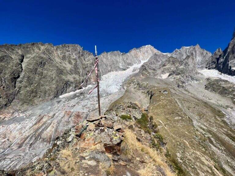
    The ascent to the Bivacco Boccalatte-Piolti, at the foot of the Grandes Jorasses in the group of Mont Blanc, & a long and challenging itinerary, with considerable difference in altitude and some not always easy. The part with fixed protections (bridges and stairs) covers about 200 meters and ` only a component of un' hike with a strong alpine character.

    ▲Approach

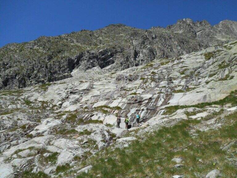
    Starting point & free; Planpincieux, a fraction of Courmayeur (Aosta): turn towards the center of the village, where c' ` a wide deck to park, and follow the signs of the sentiero 21 at l' hotel-restaurant Miravalle. Open road signs on Google Maps. The first hour & quiet, first in the woods then on the meadows with incredible views of Mont Blanc and Grandes Jorasses; after about one' now we face due guadi climbing up the walls of a stream. Then a placconata is very steep with passages of I and II degree (not always stable and slippery if wet); following the yellow signs and a few short stretches equipped you reach a wire scale that exceeds a leap of 20 meters (1h 30' from the parking lot). Continue to zig-zag on a morainic crest and, after about one' now, turn left through a nevaio to the rocky bastion above which rises the bivouac.

    ▲The path

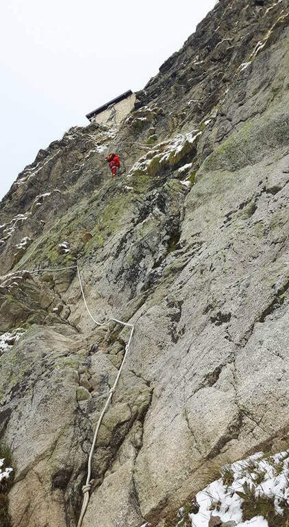
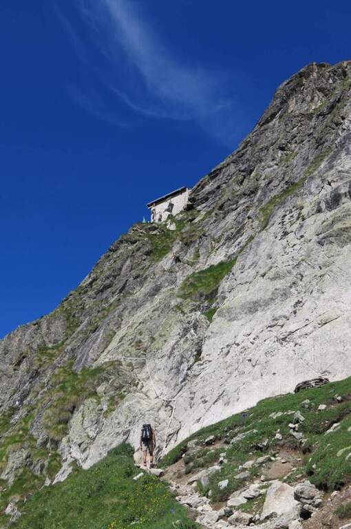
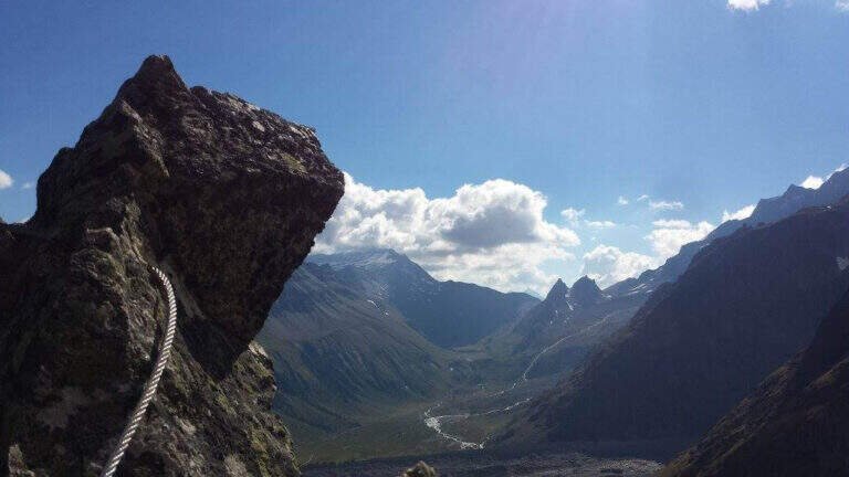
    Climb on rock sections helped by grossi canaponi which cut to the left; follow the fixed ropes up to a pulpit and then, on air route, up to the balcony on which è built the Bivacco Boccalatte-Piolti (30' from the strike, 3h 30' from the parking lot È you can continue beyond the refuge on fixed ropes until you reach the glacier.

    ▲Character and difficulty

    Itinerary for experienced hikers: the difficulty lies in the difference in altitude, in the guds, in the rock passages of I-II degree and in the mountain environment at the base of one of the most challenging climbs of the Alps.

    ⚠ In the ' last traverse on the nerve attention to the above steel, which può download ice blocks: mandatory helmet. Guades can be difficult at certain times. Il bivacco/rifugio è open on weekends of June and every day of July and August (information at the CAI of Turin).

    ▲Discipline

    You descend along the same climb route (about 3h).

    ▲To match

    For the length does not match other routes in the same day, but in the area there are the Sentiero Attrezzato al Rifugio Dalmazzi, la Ferrata al Bivacco Borelli, il Sentiero al Mont de la Brenva e la Ferrata at Monzino Refuge.
    ▲Gallery
    Technical data
    • DifficultyHard
    • RegionAosta Valley
    • ProvinceAosta
    • GroupMont Blanc
    • Approach3h
    • Fully equipped30 min
    • Complete itinerary (a/r)6h 30'
    • Level difference150 m
    • Route difference1224 m
    • Maximum2803 m
    • Length8,3 km
  • Ferrata Garda al Rifugio Monzino

    Ferrata Garda al Rifugio Monzino

    Vie Ferrate › Aosta Valley › Aosta
    Ferrata Garda al Rifugio Monzino
    Moderately Hard● OpenDescriptionComplexityMapsGallery

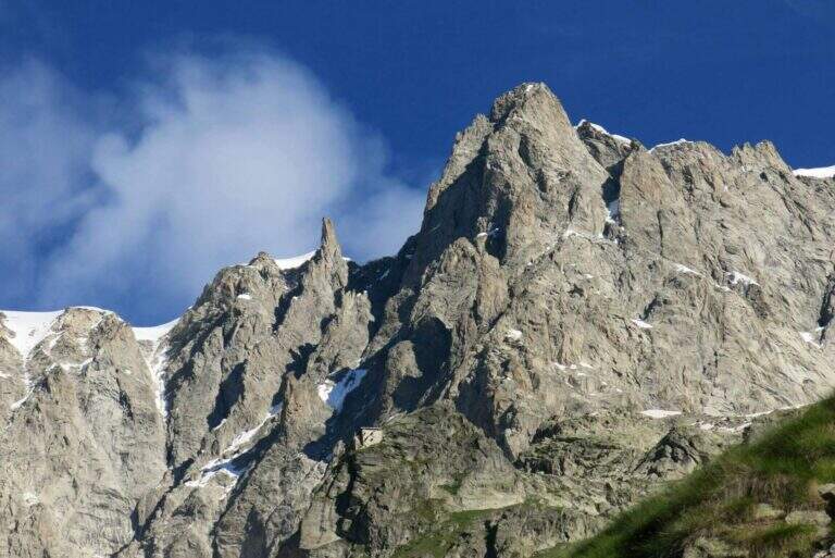
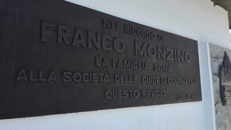
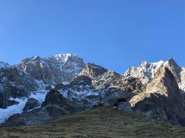
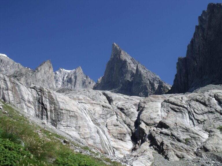
    La Ferrata Franco Garda sale al Rifugio Monzino aiutando a superare alcuni tratti ripidi sotto alcune delle più imponenti montagne del gruppo del Monte Bianco. È un itinerario che stupisce per l'ambiente, nonostante difficoltà tecniche complessivamente modeste, e culmina in un rifugio che merita davvero la salita.

    ▲Approach

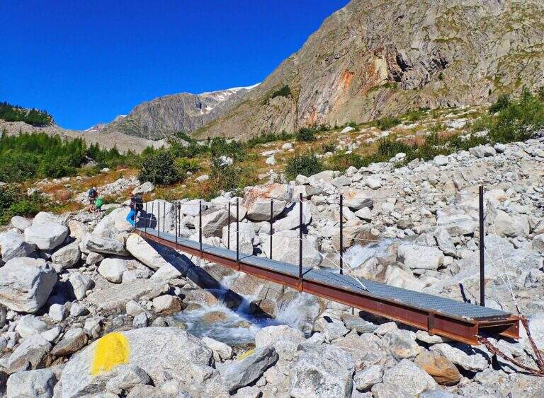
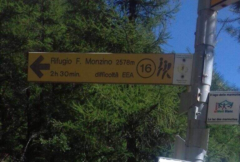
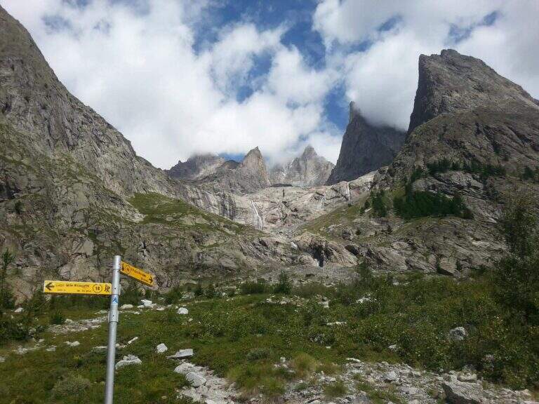
    Il punto di partenza sono i casolari di Freney, lungo la Val Veny, nel comune di Courmayeur (Aosta); si parcheggia negli spazi a bordo strada prima di attraversare il torrente Dora di Veny (starting point on Google Maps). A piedi si segue la strada verso i casolari di Freney, attraversando due ponti (la Dora di Veny e poi il torrente Miage), quindi si devia a sinistra sul sentiero 16 con indicazioni per il Rifugio Monzino. Nel bosco si seguono i segnavia gialli, si attraversa con un ponte il torrente Freney, si risale la pietraia e a un bivio si tiene la destra (a sinistra si va al Lago delle Marmotte e alla Ferrata Glarey); in breve si raggiunge la fascia rocciosa con l'attacco della ferrata (45' dal parcheggio).

    ▲The path

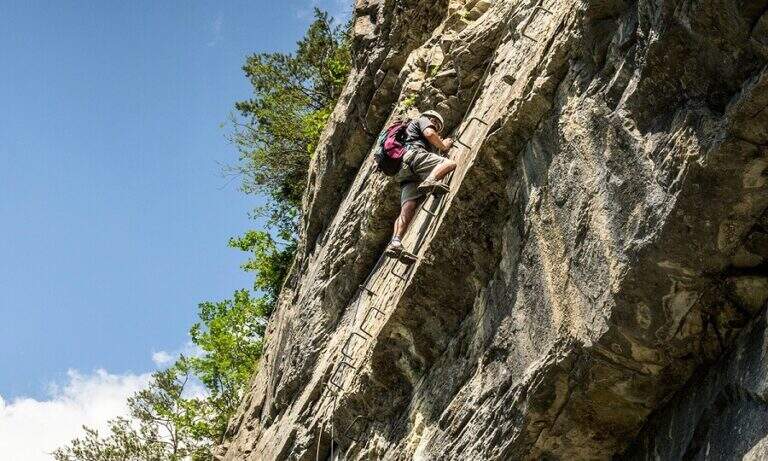
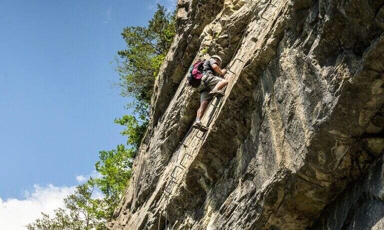
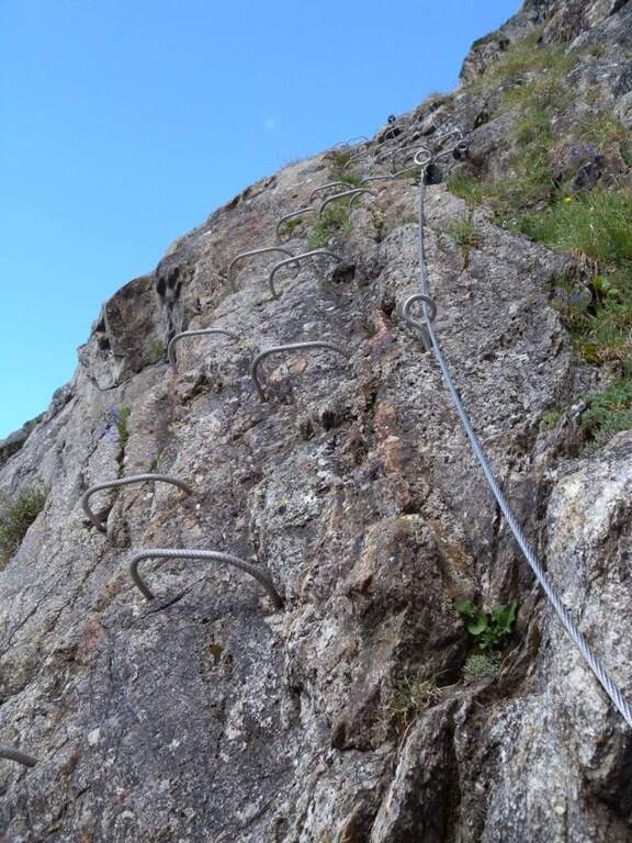
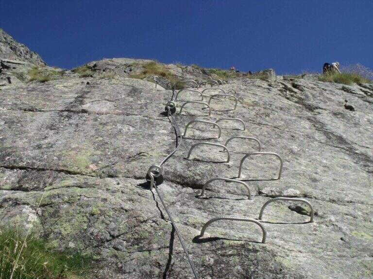
    Si inizia su una parete diagonale appoggiata, dotata anche di alcune staffe metalliche; terminata la parete si gira a destra lungo una cengia e si riattacca in verticale su una parete ricca di staffe che sale una settantina di metri (qui si notano due varianti: conviene salire dal tratto di destra e scendere da quello di sinistra, il tracciato originario). Le attrezzature si interrompono e un evidente sentiero porta a un secondo tratto attrezzato, una parete verticale di circa 30 metri che deposita su un terrazzino; il sentiero risale poi una costola erbosa a tornanti, devia a destra e conduce al terzo tratto della ferrata. Superati alcuni gradini verticali si procede su una costola, la si aggira sul lato sinistro e si riattacca una parete di un centinaio di metri, oltre la quale appare il rifugio; un sentiero pietroso e gli ultimi metri di attrezzatura, che risalgono un camino e un paio di placche inclinate non difficili, portano al Rifugio Monzino, posto alla base del Monte Bianco (1h 30' dall'attacco, 2h dal parcheggio). Nei pressi del rifugio, verso la Val Veny, una marcata cresta sale verso l'Aiguille de Chatelet: una breve ferrata aggiuntiva (circa 15' dall'attacco, andata e ritorno per la stessa via) su roccia frastagliata e ben appigliata, non conteggiata nei tempi dell'itinerario principale.

    ▲Character and difficulty

    La via è stata rinnovata di recente e l'attrezzatura è in ottimo stato; risulta esposta in alcuni tratti pur con difficoltà tecniche contenute.

    ⚠ Ambiente d'alta montagna alla base del Monte Bianco: tempo stabile e attrezzatura adeguata. Per chi è preparato ad ambienti alpinistici, dal Rifugio Monzino si può proseguire in un giro di due giorni verso il Bivacco Borelli passando dal Col Chasseur.

    ▲Period and safety

    Itinerario d'alta quota per la stagione estiva, in ambiente alpino severo; il rifugio merita una sosta per il panorama sul gruppo del Monte Bianco.

    ▲Discipline

    Si rientra lungo il sentiero dell'andata; un tratto può essere percorso sulla vecchia variante per evitare intasamenti nella lunga parete verticale (1h 45' dal Rifugio Monzino, circa 4h 30' totali).

    ▲To match

    Per lunghezza e dislivello la gita difficilmente si abbina ad altre in giornata, ma in zona non mancano gli itinerari attrezzati: il Sentiero Attrezzato Gatti al Mont la Brenva, la più impegnativa Ferrata al Bivacco Borelli, il Sentiero Attrezzato al Bivacco Boccalatte e la Ferrata del Bicentenario al Mont Chetif.

    ▲Gallery
    Technical data
    • DifficultyModerately Hard
    • RegionAosta Valley
    • GroupMont Blanc
    • Approach0:45 h
    • Ferrata1:15 h
    • Itinerary (a/r)4:30 h
    • Hardware level difference300 m
    • Route difference1000 m

    • Max2561 m
    • Length8,9 Km
Need help? Write to us!