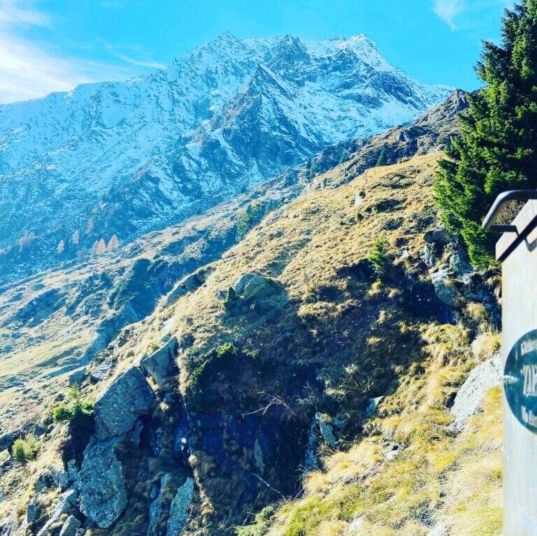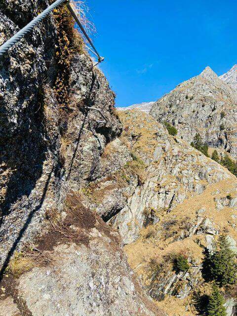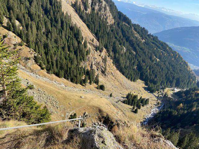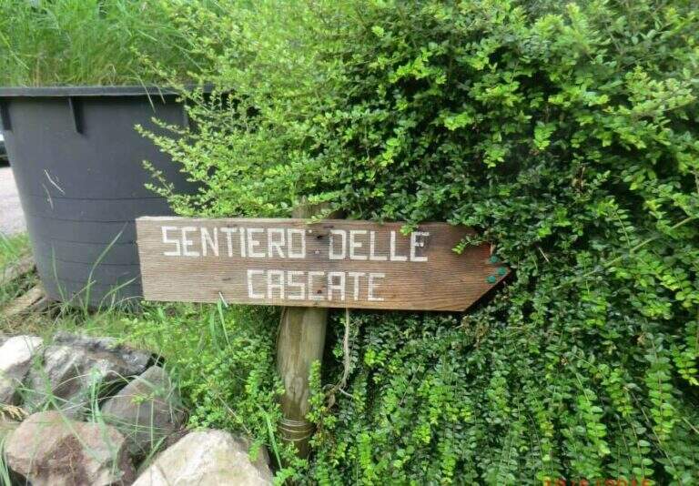
Caratteristica: Ambiente di forra

  • Sentiero Attrezzato delle Cascate di Idro

    Sentiero Attrezzato delle Cascate di Idro

    Vie Ferrate › Lombardy › Brescia
    Sentiero Attrezzato delle Cascate di Idro

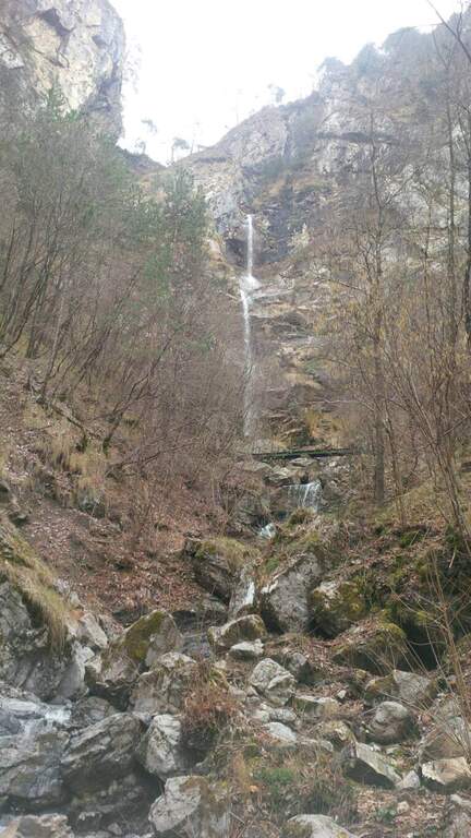
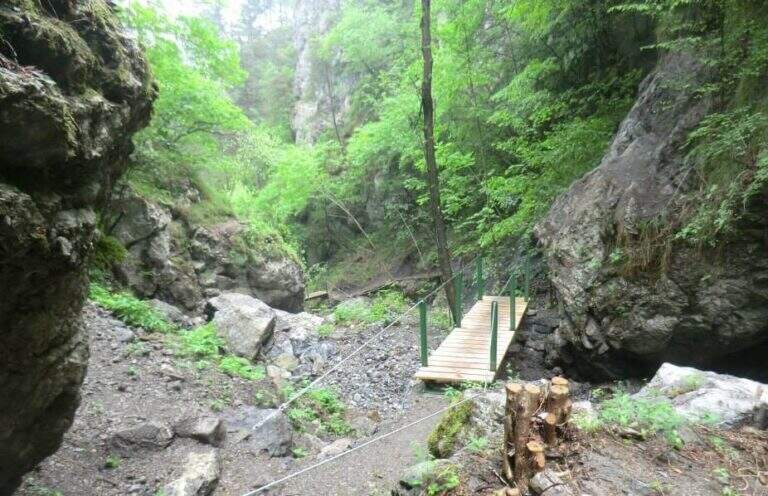
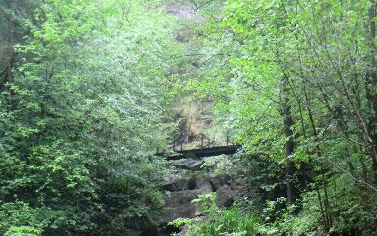
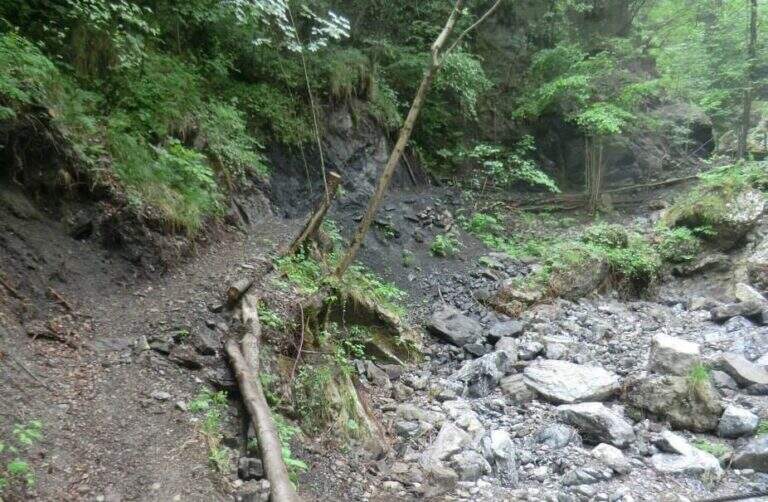
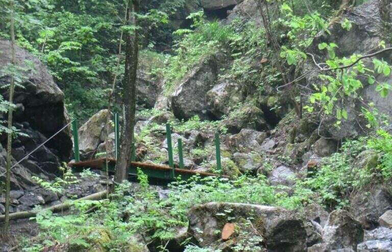
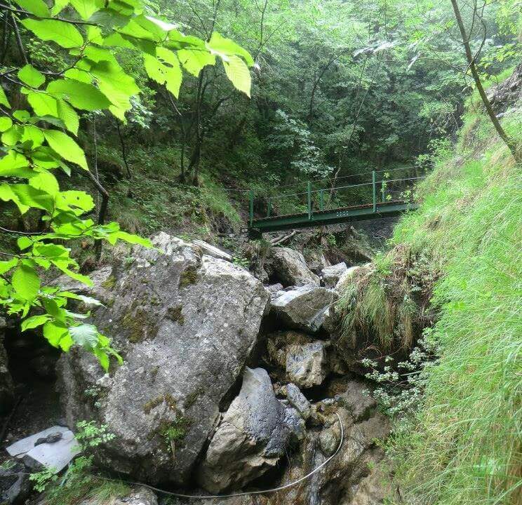
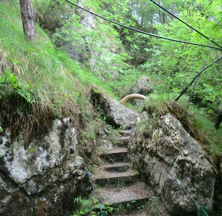
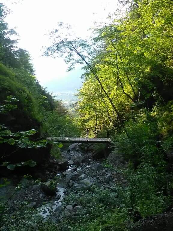
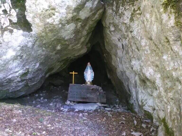
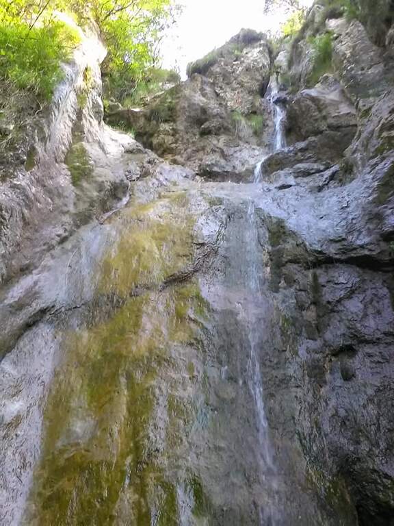
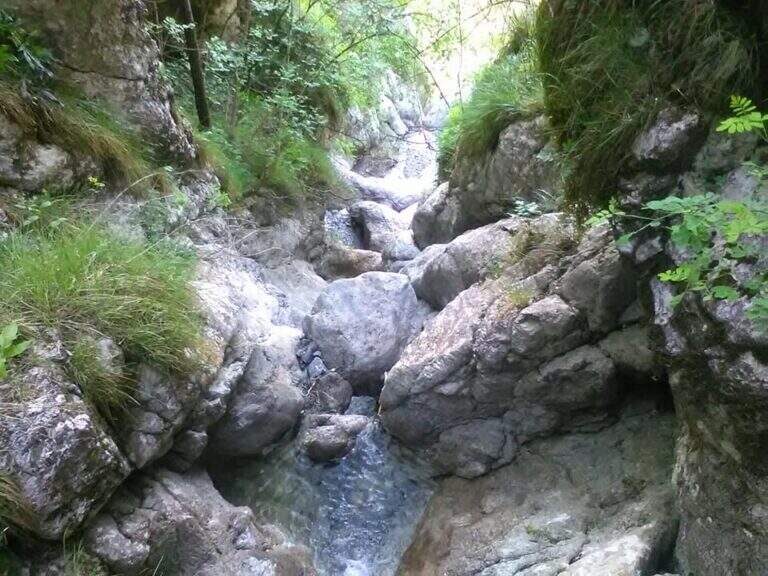
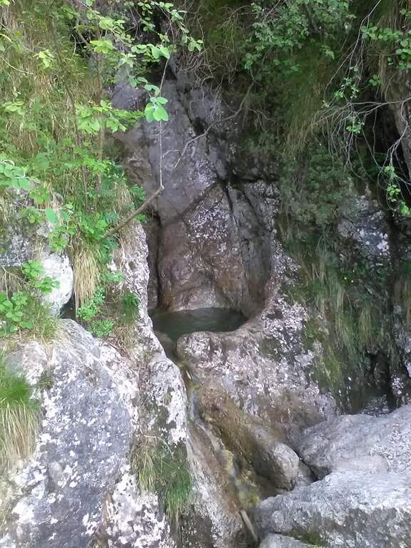
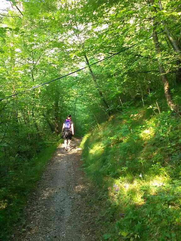
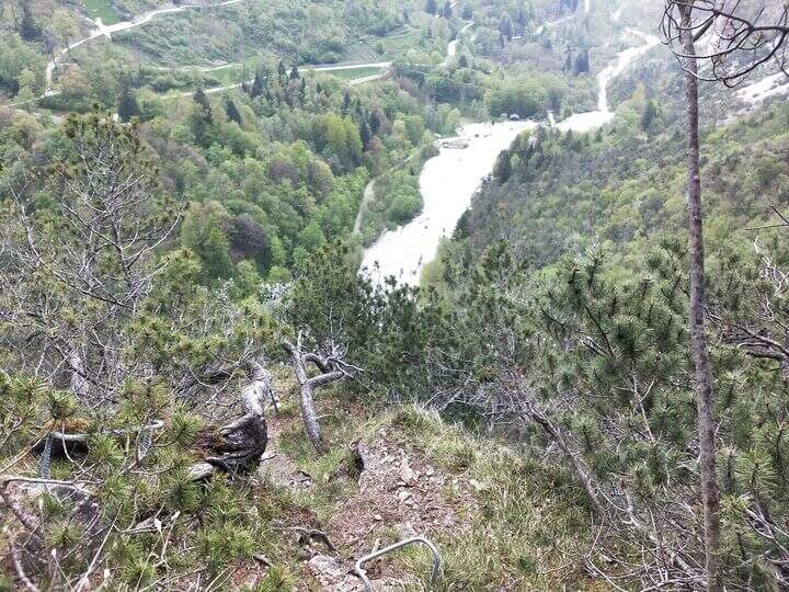
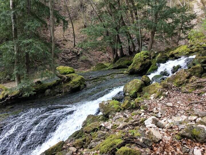
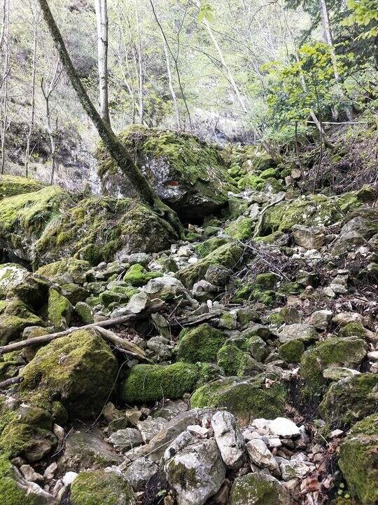
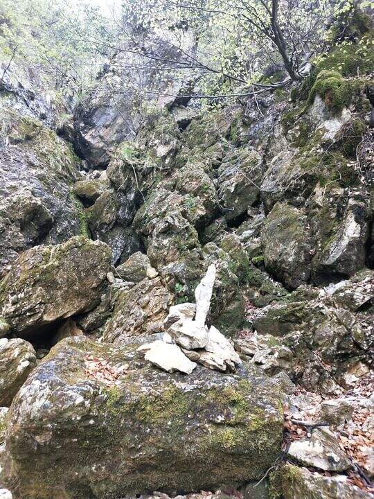
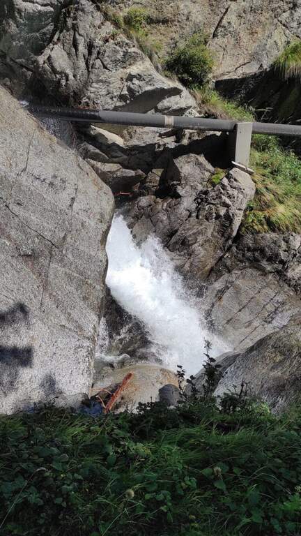
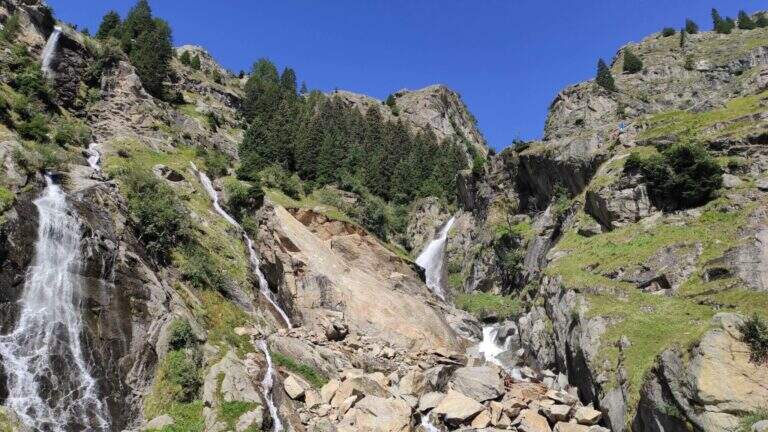
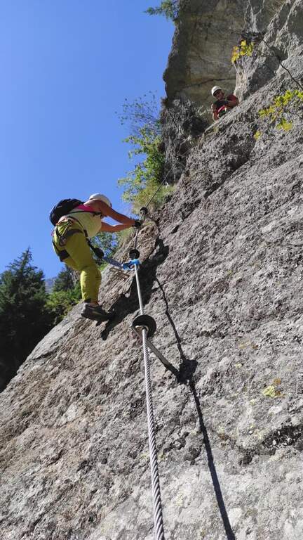
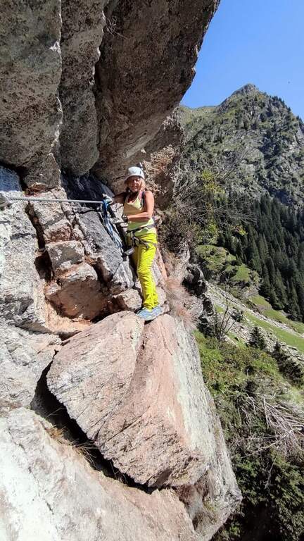
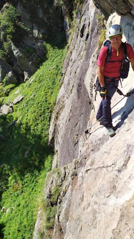
    Il Sentiero Attrezzato alle Cascate di Idro ` an easy itinerary, equipped in the exposed part inside the hole of the torrente Neco, on Lake d’Idro. Very beautiful from the landscape point of view, shows a suggestive throat with short approach, ideal for those with little experience.

    ▲Approach

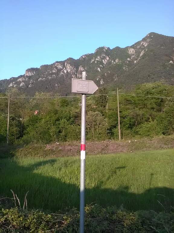
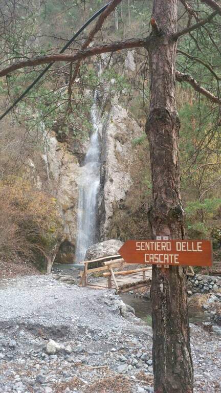
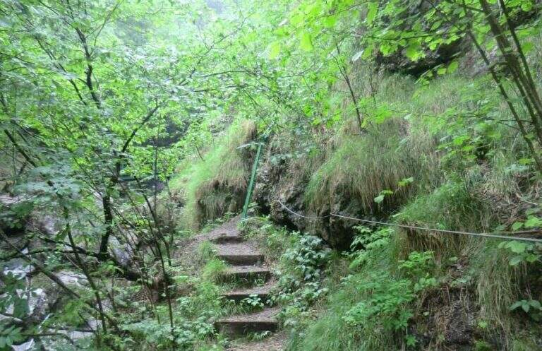
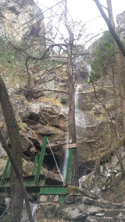
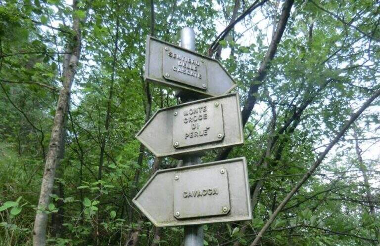
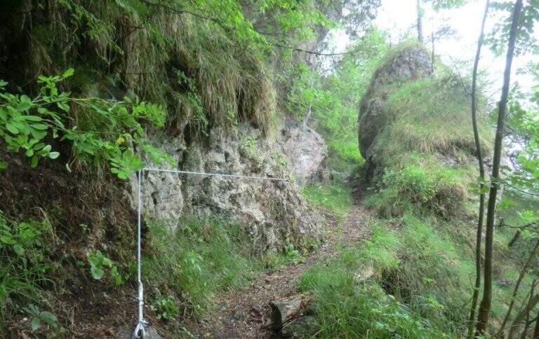
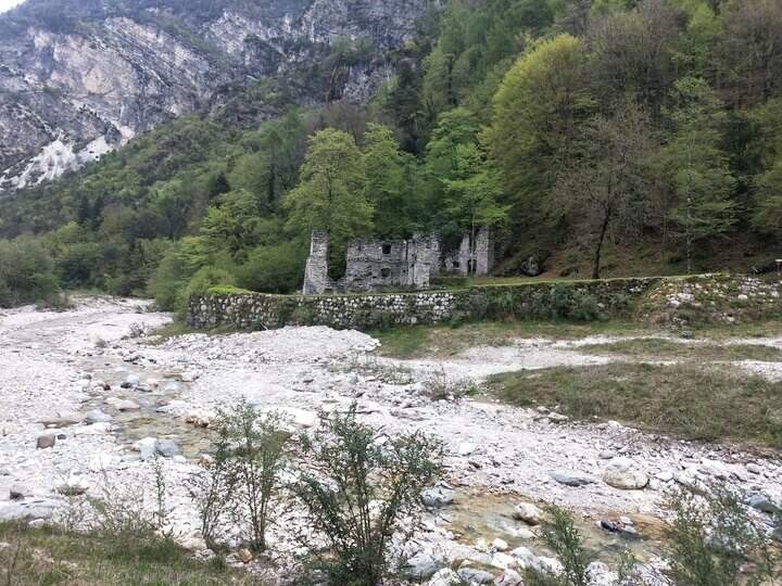
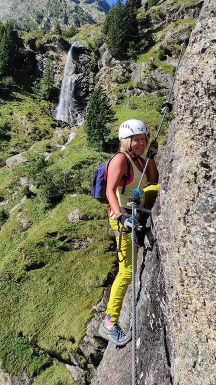
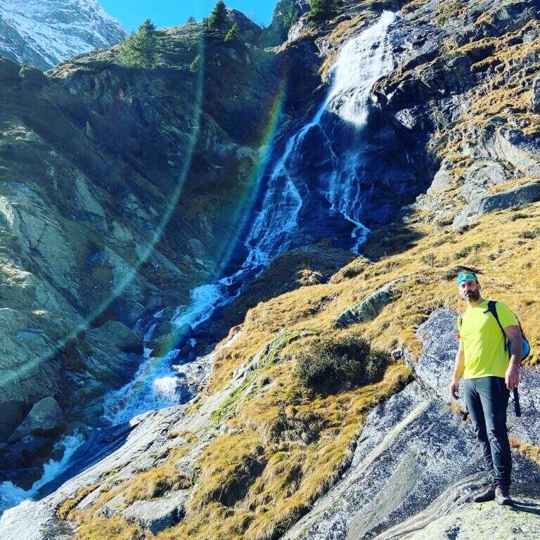
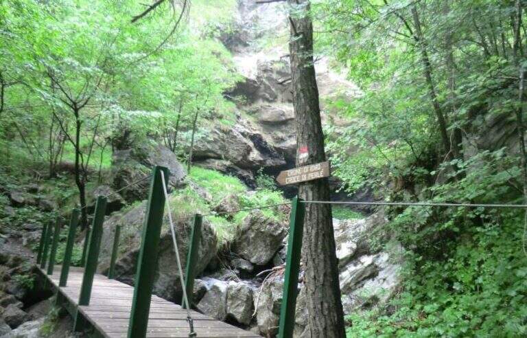
    Starting from Crone, on the eastern shore of Lake d’Idro: along the SP58 you can see on the right a road towards the Pizzeria Ristorante Bellavista, where you park (Via Coste), then take right the directions for the path. Open road signs on Google Maps. Follow the signs: straight the normal path, at destra il «Sentiero delle Cascate» (the two are reunited with più forward). You climb on the road between the meadows, then downhill to the bed of the Neco and its hole, at a wooden bridge and a first waterfall; you avoid the bridge and climb on the left side of the waterfall, entering the equipped path (15′ from the parking lot).

    ▲The path

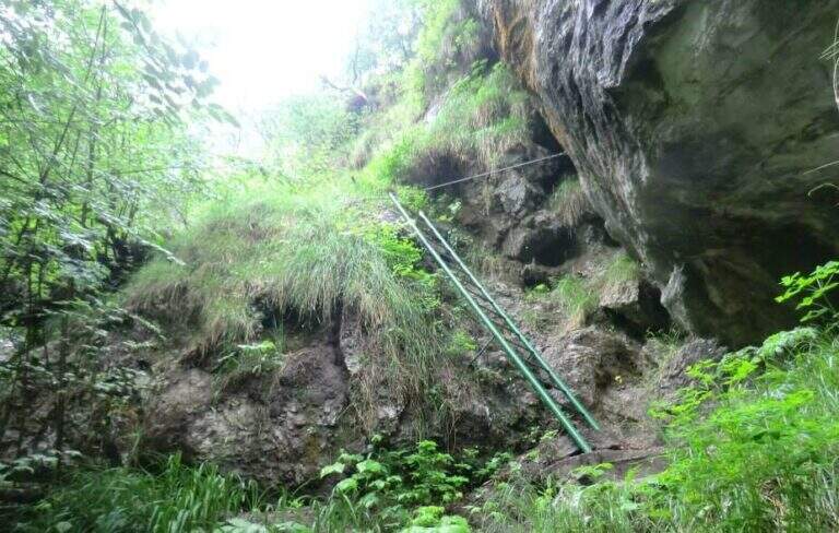
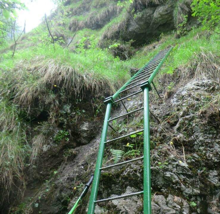
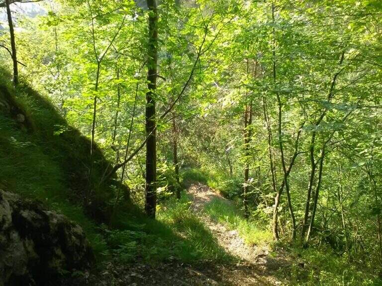
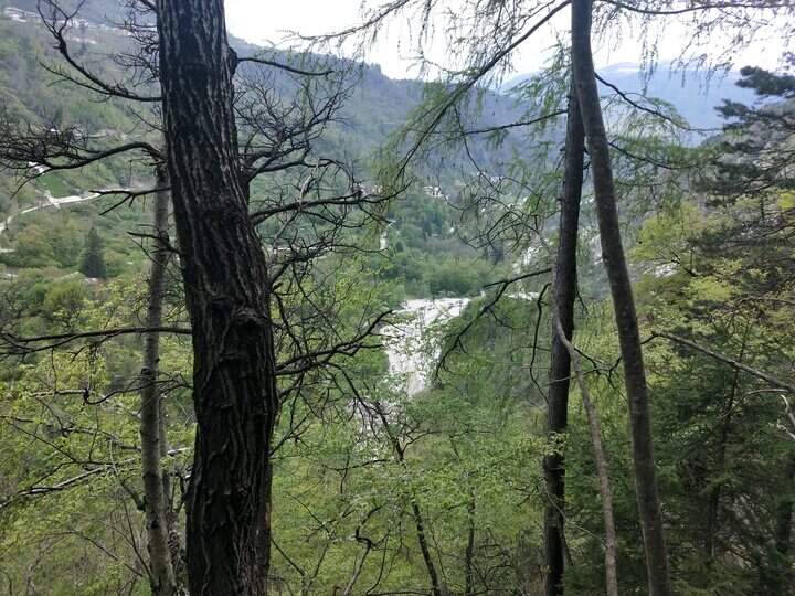
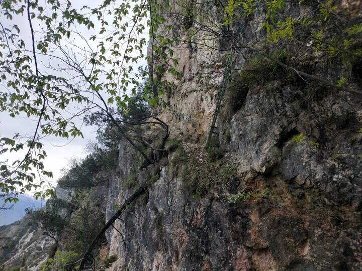
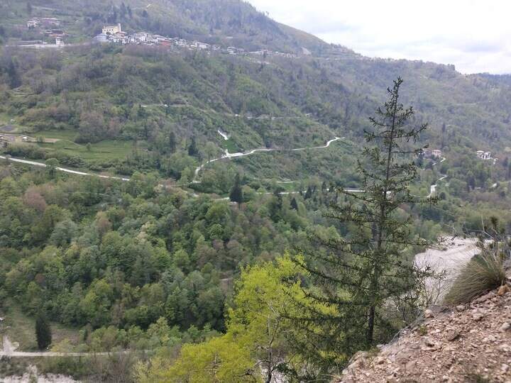
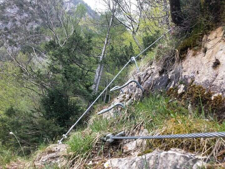
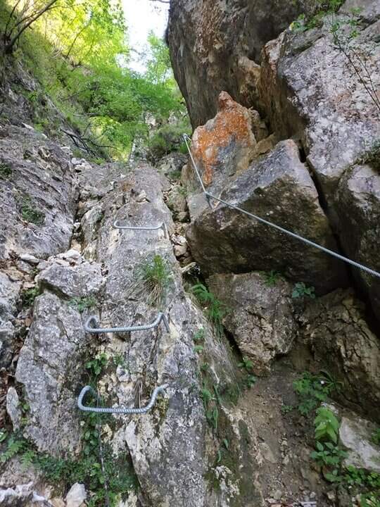
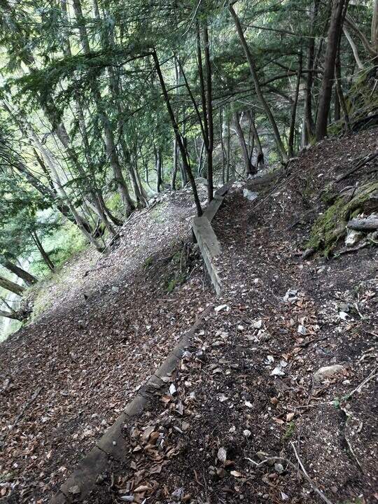
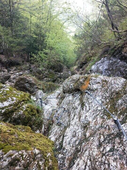
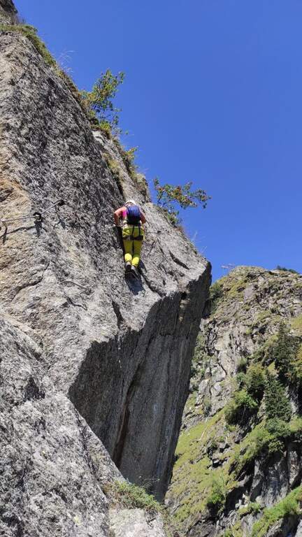
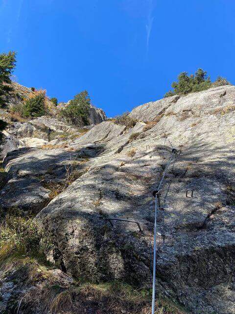
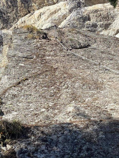
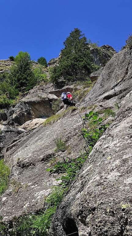
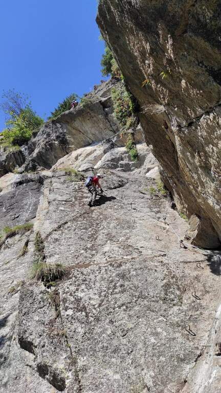
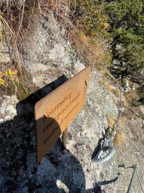
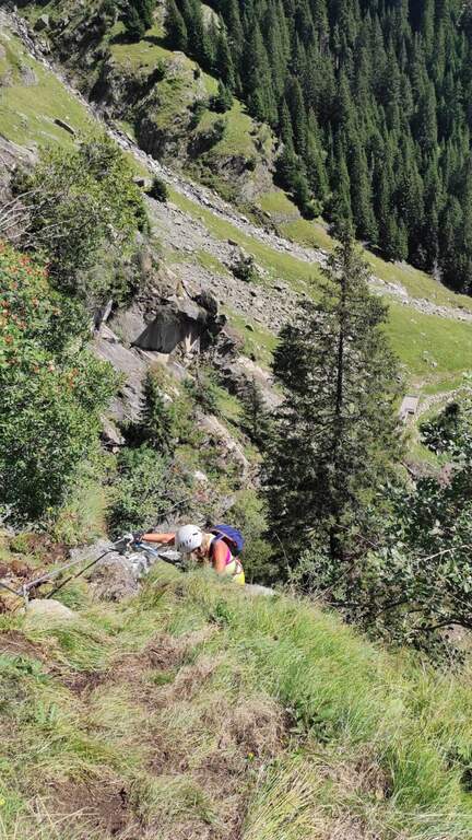
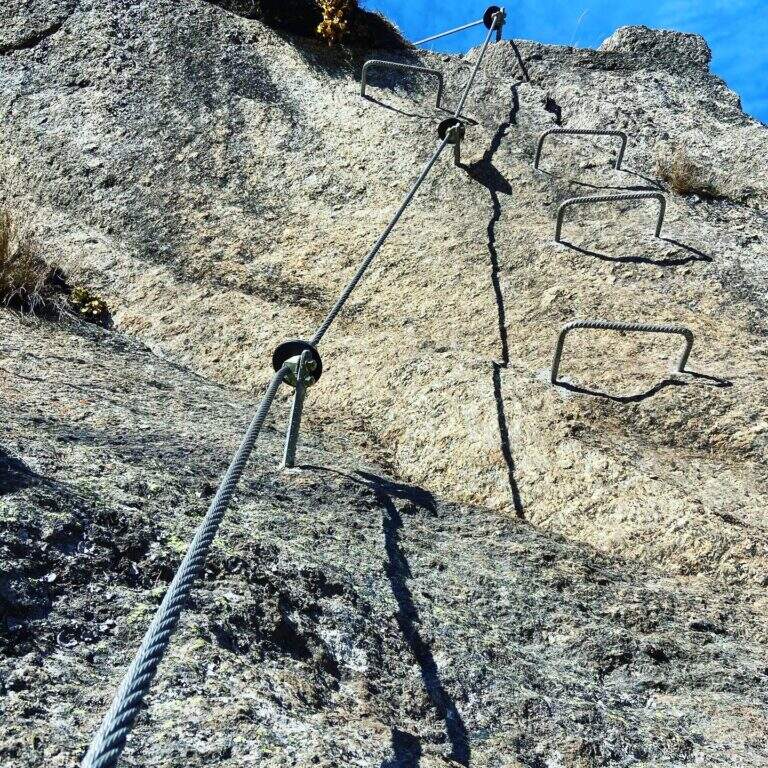
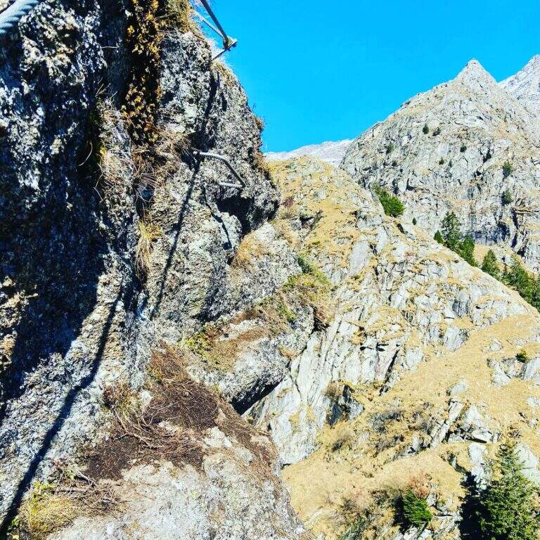
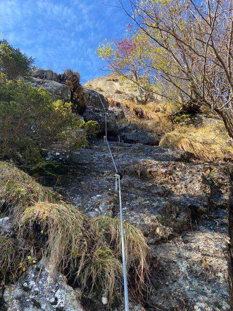
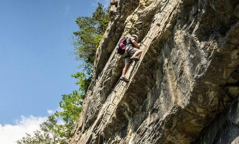
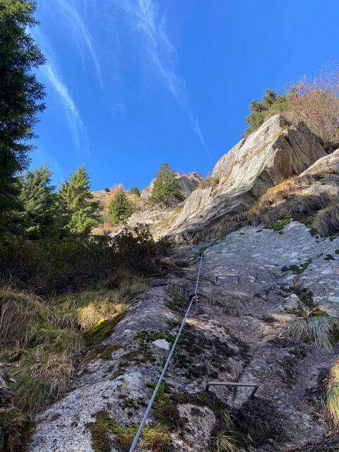
    There are two inclined rock walls equipped with two metal scales (the second più long of the first); on the top you go left on a engineered grassy and, bypassing a edge, ends the equipped part (10′ from’ attack, 25′ from parking). Continue on the path passing a bridge at a ’ another beautiful waterfall and then in the forest, until a crossroads with the normal path left at ’ start. From here you can rejoin; close the short hike turning left towards Crone (40′ overall) or keep the right towards the Croce of Perlè : with lake view, then in the Serè valley; and in a thick forest, at a crossroads turn left and follow a short stretch of ridge with easy rocks up to the peak cross (1h 30′ overall).

    ▲Character and difficulty

    Itinerary without any technical difficulties of importance, it is also advisable for those who have little or no experience provided in form and with firm foot; equipment in good condition. Traced ex novo in 1995-96 and restored in 2004.

    ⚠ It is better to travel in the half seasons, avoiding the summer heat and l’ winter, when the falls can iced. Recommended helmet for stairs in the hole.

    ▲Discipline

    It can be traced back, possibly along the equipped path (about 1h from the summit, 2h 30′ overall). Alternatively, from the ’ last intersection can be combined; close a long anello for the Cocca di Idro, Cima Crench and Punta Pelada, returning to Crone (about 4h 30′ overall).

    ▲To match

    Concatenate well with the Ferrata Crench (saving Cima Crench and Cocca d'Idro) and, always on Lake Idro, with easy Ferrata delle Ginestre e la Ferrata del Fregio.
    ▲Gallery
    Technical data
    • DifficultyEasy
    • RegionLombardy
    • ProvinceBrescia
    • GroupLake Idro
    • Approach15 min
    • Fully equipped10 min
    • Complete itinerary2h 30′
    • Level difference200 m
    • Route difference220 m
    • Maximum620 m
    • Length3,5 km
  • Ferrata di Valimpach

    Ferrata di Valimpach

    Vie Ferrate › Trentino-Alto Adige › Trento
    Ferrata di Valimpach
    Moderately Hard● OpenDescriptionComplexityMapsGallery

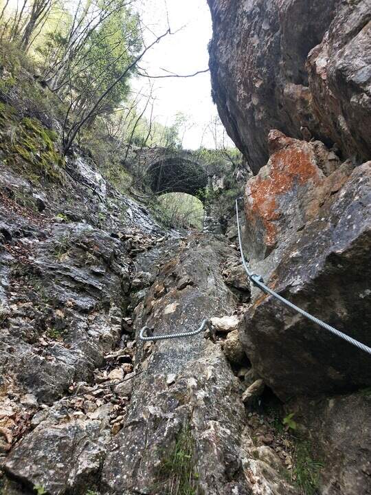
    Il Valimpach equipped trail over Caldonazzo in Valsugana (Trento). It is not very tiring, but it requires attention to the exposure of some sections, some more challenging points and a thick wet and mossed rock for much of the route.

    ▲Approach

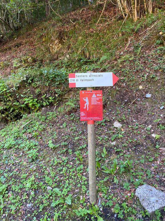
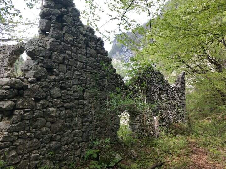
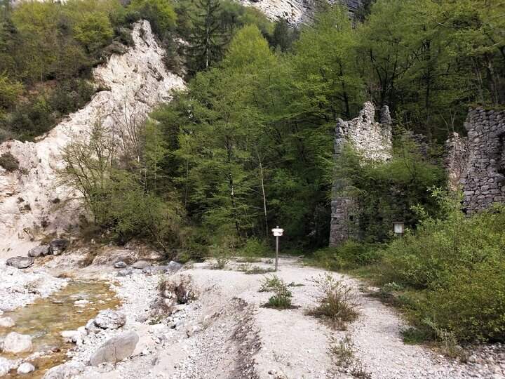
    Joints Caldon take the SP108, you pass the restaurant Speckstube on the left and you reach the park n. 3, just under the hamlet of Valle in the direction of Centa San Nicolò, always on the left. Open road signs on Google Maps. Who wants può starting from parking spaces n. 1 or n. 2 (always on the SP108) to stretch the route and admire landscape and waterfalls on the Centa. From the parking lot you go down the road or for the dirt a po' steep that flanks it, on the path that runs along the river Centa towards the south, up to a bridge that crosses it, to the side of which you see the ruins of the ' ex mill Polentoni. Immediately behind the equipped trail sign marks l' start of the steep short bend path, at times exposed, which leads to all' attack of the ferrata (about 20-30' from the parking lot).

    ▲The path

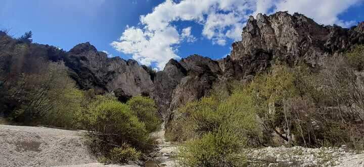
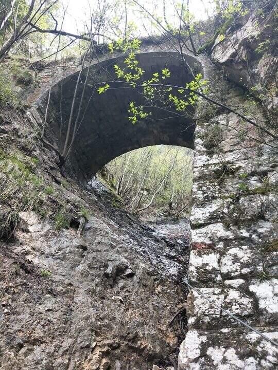
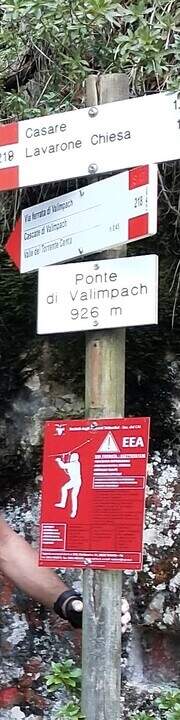
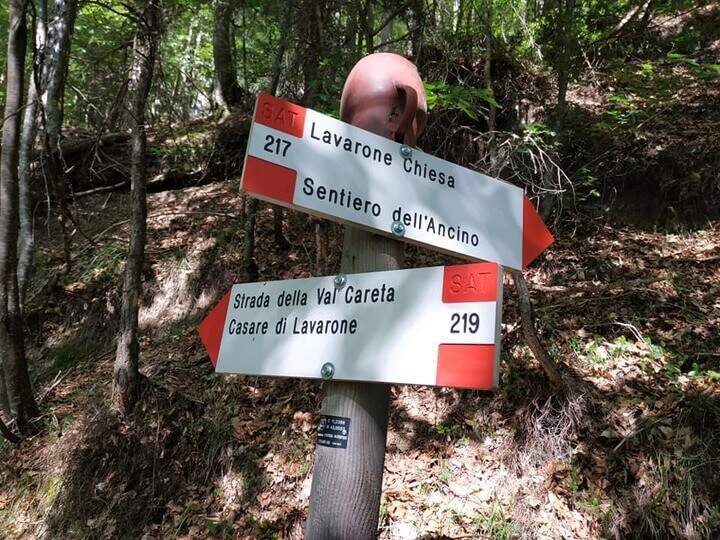
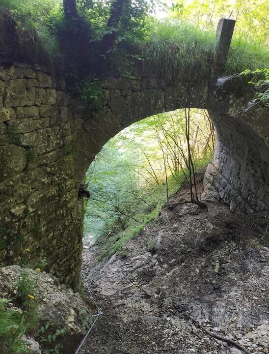
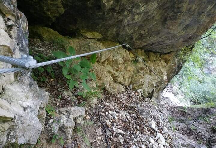
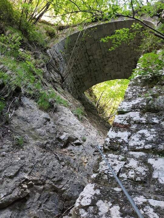
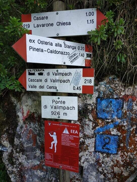
    The first section è the più exposed: a scaletta followed by the cable under a census, from which is seen on the ' other side of the village of Centa San Nicolò. Continue on several rocky cliffs with metal cambres, surrounded by mug pines; as you climb you start to see the cascade of Valimpach and the valley below. After passing these easy leaps, a stretch in the forest without difficulty and agrave;, in a slight descent, runs along the waterfalls to their springs. Continue in the valley following the track on the boulders and enters the gola rocky, where from time to time cables and cambre facilitate progression: è a humid environment, with thick slippery rocks and mosss, where pay attention also all' possible fall of stones from the side walls. Following the tracks you will arrive below the ponte of Valimpach (926 m); cross it from below turn right and in a few meters you will reach the ex «Strada della Val Caréta» (former 219), where the ferrata ends (about 1h 15' from' start of the equipment, 1h 45' from the parking lot).

    ▲Character and difficulty

    Itinerary varied but of limited commitment, with a first exposed section and passages on equipped balconies. The quality of the rock is not always excellent and the humidity of the nearby waterfall requires caution.

    ⚠ In the final stretches, just before the bridge, some metal equipment turns out a little soft: attention especially for the neophytes. Infident rocks for moss and humidity; possible fall stones in the throat.

    ▲Discipline

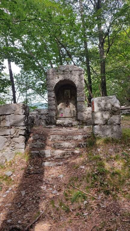
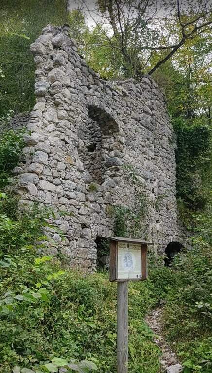
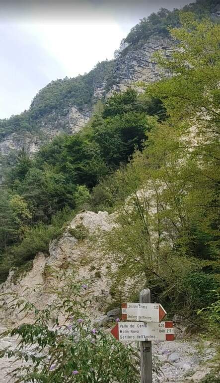
    From the bridge we continue on the ' ancient road towards the Church of Lavarone; after about 15 minutes, at the junction with the Sentiero del Lanzino ( itinerary 217), we descend into the Valley of the Centa. You pass the votive capital of Sant' Antonio and you get to some ruins surrounded by a screech; carefully you get the stream and you reach the valley bottom path that, along the Centa on the left, brings back to the starting parking lot (about 3h total).

    ▲To match

    The nearest equipped route is the Sentiero Attrezzato Church in Val Scura. Towards the Val d'Astico is the Ferrata degli Aguane; in Val d'Adige the Sentiero Attrezzato Bertotti e il Sentiero Attrezzato de le Stel. Not far from Trento, the commitment Ferrata Segata bondone.

    ▲Gallery
    Technical data
    • DifficultyModerately Hard
    • RegionTrentino-Alto Adige
    • ProvinceTrento
    • GroupValsugana
    • Approach25 min
    • Ferrata1h 15'
    • Complete itinerary (a/r)3h
    • Hardware level difference350 m
    • Route difference415 m
    • Maximum1003 m
    • Length5 km
  • Ferrata Ziel (Rio di Tel)

    Ferrata Ziel (Rio di Tel)

    Vie Ferrate › Trentino-Alto Adige › Bolzano
    Ferrata Ziel (Rio di Tel)
    Moderately Hard● OpenDescriptionComplexityMapsGallery

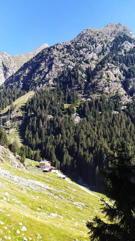
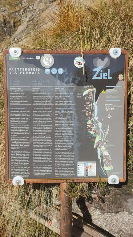
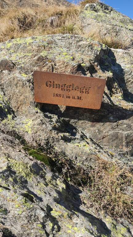
    La Ferrata Ziel (or Ferrata Rio di Tel), of medium difficulty and agrave;, go up the Zieltal valley following the bustling Rio di Tel, not far from the Parcines waterfall, up to the panoramic Gingglegg (1891 m) in the Gruppo di Tessa Nature Park. È was opened in Methà August 2020.
    ▲Approach

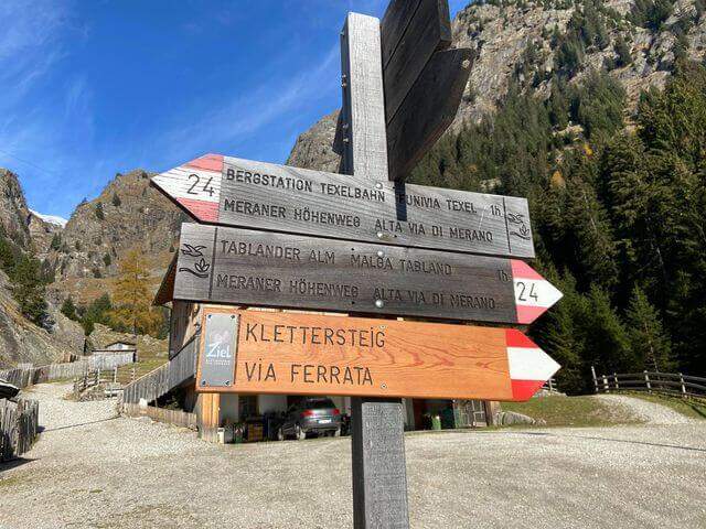
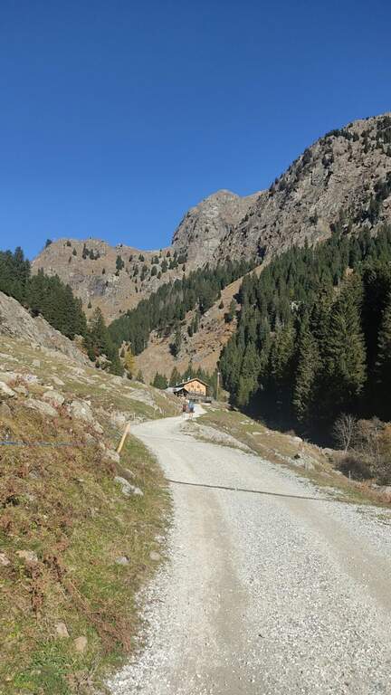
    Starting from the valley station of the funivia Texel in Rablà, fraction of Parcines, all' start of the Val Venosta (available from Merano also by public transport). Open road signs on Google Maps. From the mountain station, follow the sentiero 24 Alta Via di Merano to the Nasereit Refuge (1523 m, 45'); next to the refuge you cross the bridge over the stream and, immediately after, on the left you follow the red points along the rio until all' attack (15' from the shelter, 1h totali), with the top Ggging.

    ▲The path

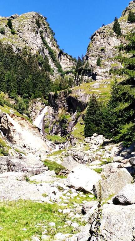
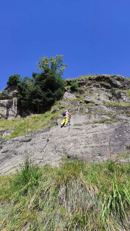
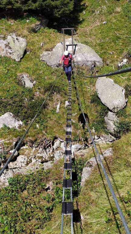
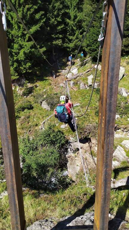
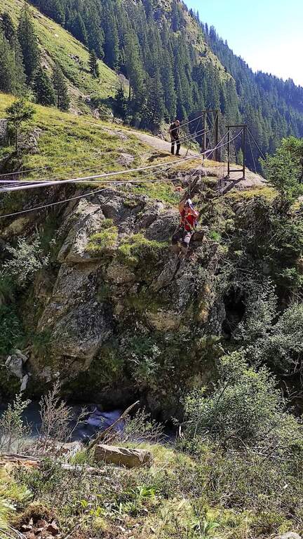
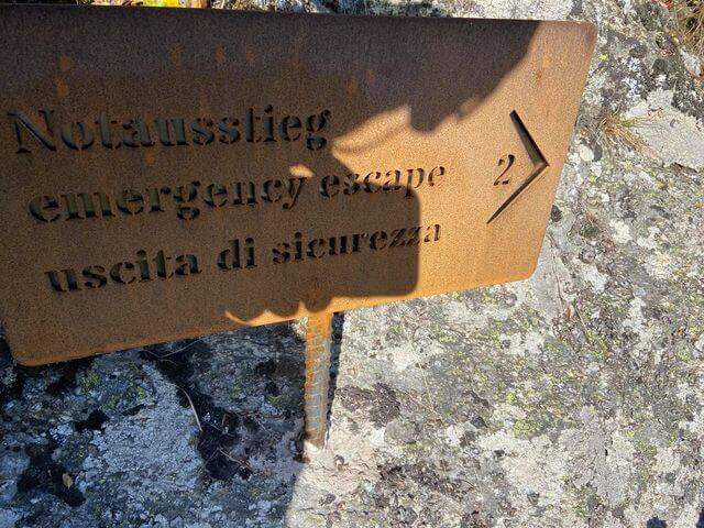
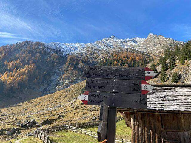
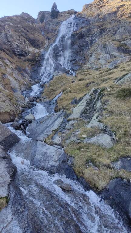
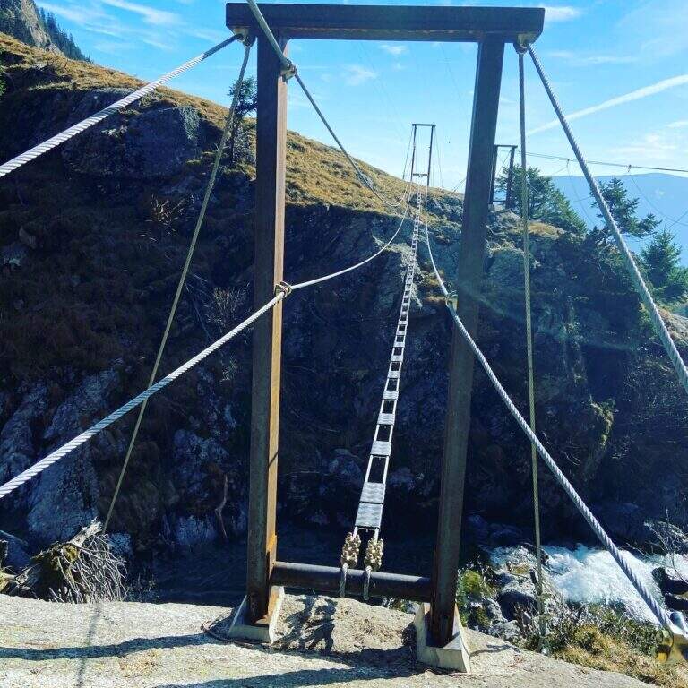
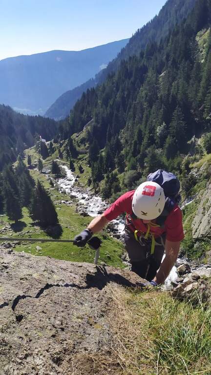
    The street, about 530 meters long, è divided into 10 sections of rope numbered and well anchored; the difficult ` are concentrated in the central part (some moderately difficult passages and a fairly difficult one). The first part rises a plaque resting with cambre and handles on the right side of the throat up to a step next to the first waterfall; after an easy stretch crosses the stream with two options: a suspended bridge not perfectly stable, with plates arranged in a longitudinal sense, or due thyrolienne (Flying Fox). We continue in front of a water conduct, we climb helped by wide cambre towards a rocky roof that is held on the right side on the plate, then we cross to the left over the roof; narrow brackets lead to a vertical wall and to a plate exposed to the right (here an escape route leads to the bridges). Follow the rope on grassy blocks and a wooden ladder up to the sentiero 8, with bench to remove l' equipment (1h 30' from the ' attack, about 2h 30' from the mountain station).

    ▲Character and difficulty

    Itinerary varied and fun in the hole environment, with the attraction of the suspended bridge and the Tyrolean. Level difference in ferrata 450 m, total 510 m, maximum altitude 1891 m, development 7.5 km.

    ⚠ In case of rain or even only of humidity the ferrata can be not completely agibile due to the numerous plaques. There is no indication of the correct use of the Tyrolean: if you are not practical, better inform yourself before or use the suspended bridge.
    ▲Discipline

    Dall'uscita si scende lungo il sentiero 8, si passa il Kaserstein (piccola baita presso un masso) e si arriva al Rifugio Nasereit (45' dal termine); dal rifugio, a ritroso sul sentiero 24 Alta Via di Merano, si torna alla stazione a monte della funivia Texel (circa 1h dal rifugio, 4h 15' totali).

    ▲To match

    The Val Venosta and its surroundings offer many ferrates: towards Solda la Ferrata Tabaretta, la Ferrata di Trafoi e la Cengles Croda; to Naturno the Hoachwool e la Knott; at Merano Heini Holzerin Val Passiria la Stuller Waterfalls and in Val Senales la Larix.

    ▲Gallery
    Technical data
    • DifficultyModerately Hard
    • RegionTrentino-Alto Adige
    • GroupGroup of Tessa
    • Approach1:00 h
    • Ferrata1:30 h
    • Itinerary (a/r)4:15 h
    • Hardware level difference450 m
    • Route difference510 m
    • Max1891 m
    • Length7,5 Km
Need help? Write to us!