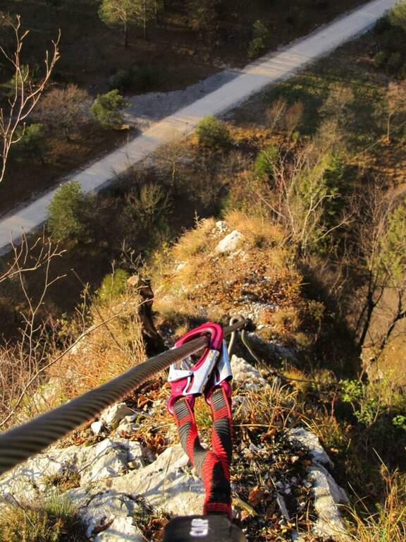
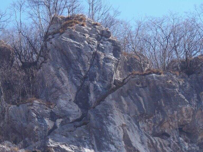
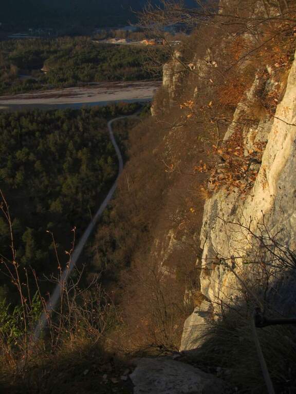
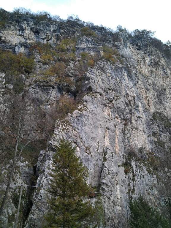
The Ferrata alla Parete dei Falchi, near Soverzene (Belluno), is short, intense, athletic and difficult: it rises by making wide use of the arms, with a free attack and a striking key stroke. For brevity it is a good training, but the overall safety of the way is questionable and the return is exposed and on unstable background.
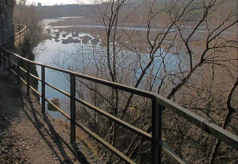
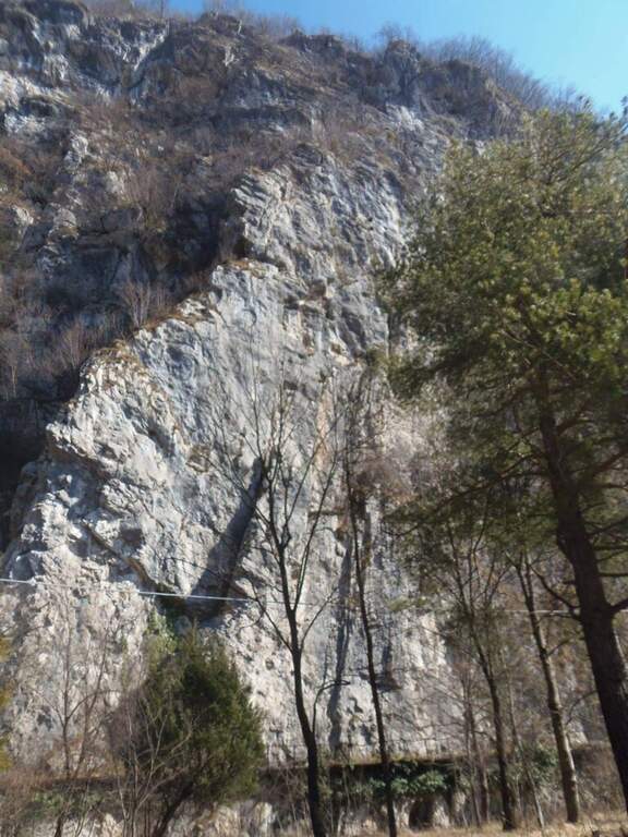
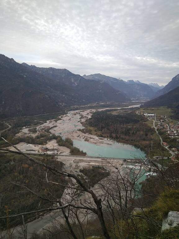
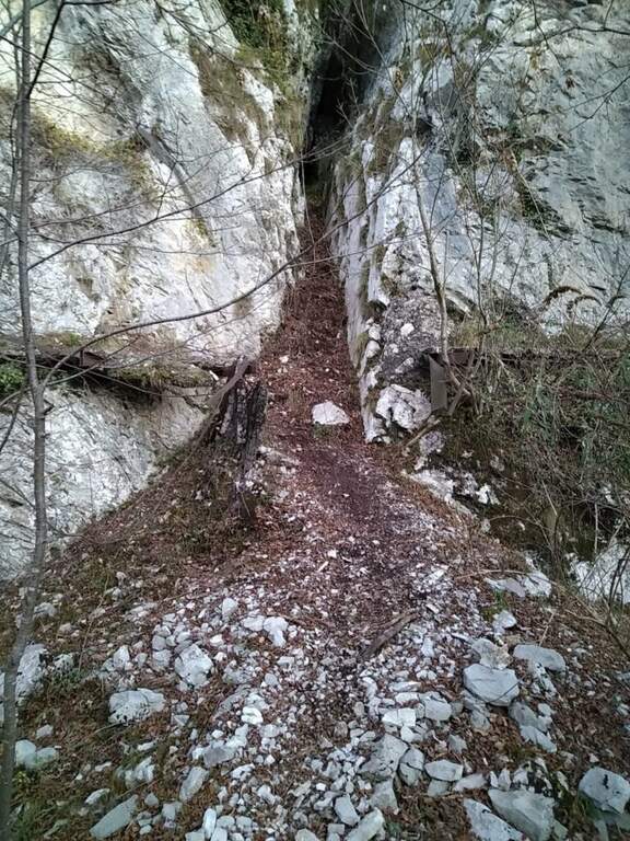
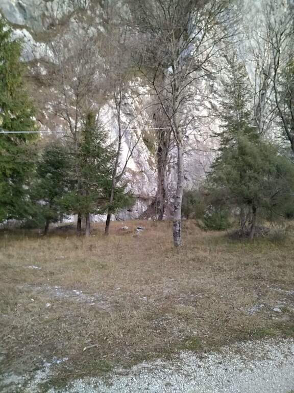
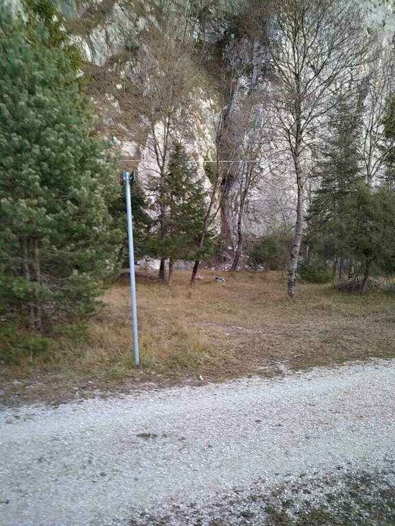
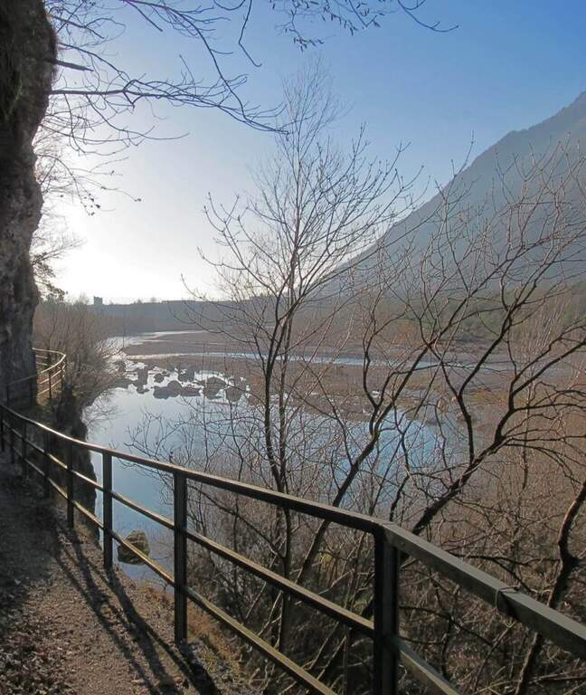
The historic starting point is the Central Elettrica between Soverzene and Pian di Vedoia (Belluno): cross the bridge over the Piave you search parking at the central. Starting point on Google Maps. From here an unpaved road (transit prohibition) takes off to the right towards the Piave and, along the climbing walls, leads to a metal walkway beyond which, on a distinct rocky rib, you can see the attack (15' from the parking lot). After a landslide on the cycle path, this approach may be interrupted: Alternatively, you park at the church of the hamlet of Soccher (from Cadola) and you reach the base of the rib along the cycle path to the north, carefully identifying the attack, which is not on the road but higher.
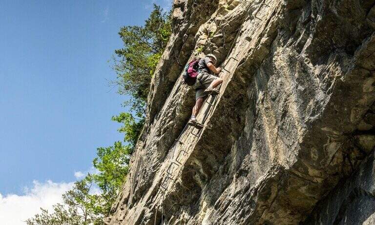
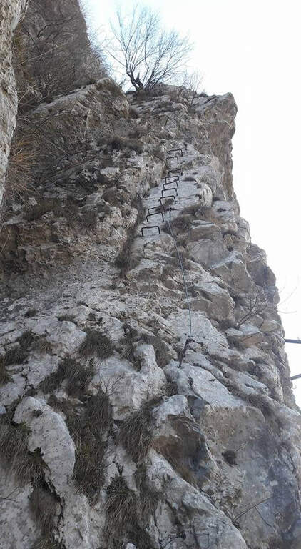
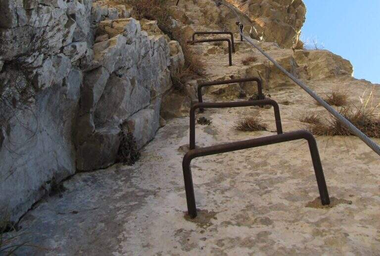
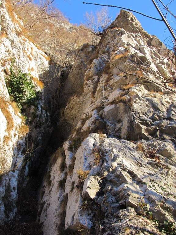
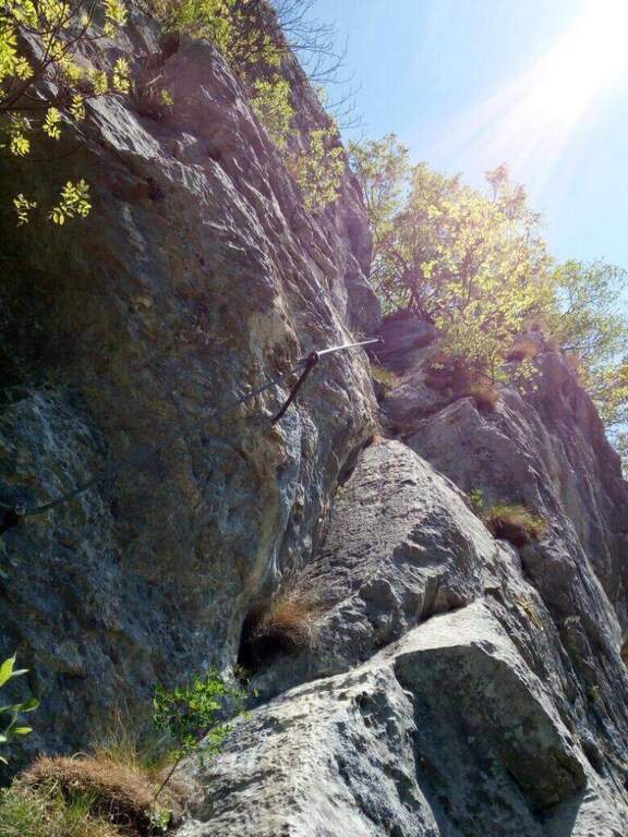
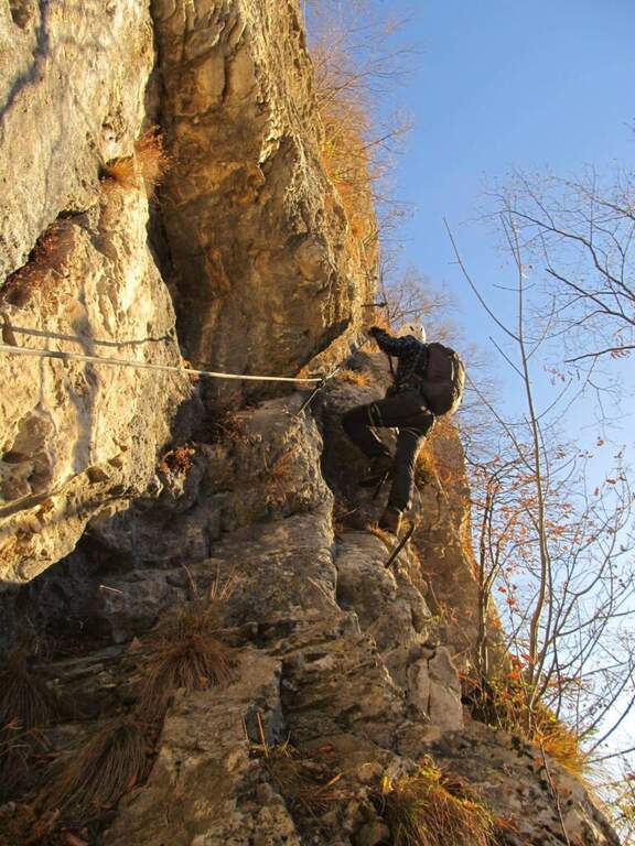
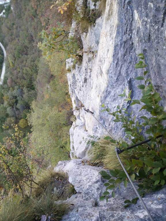
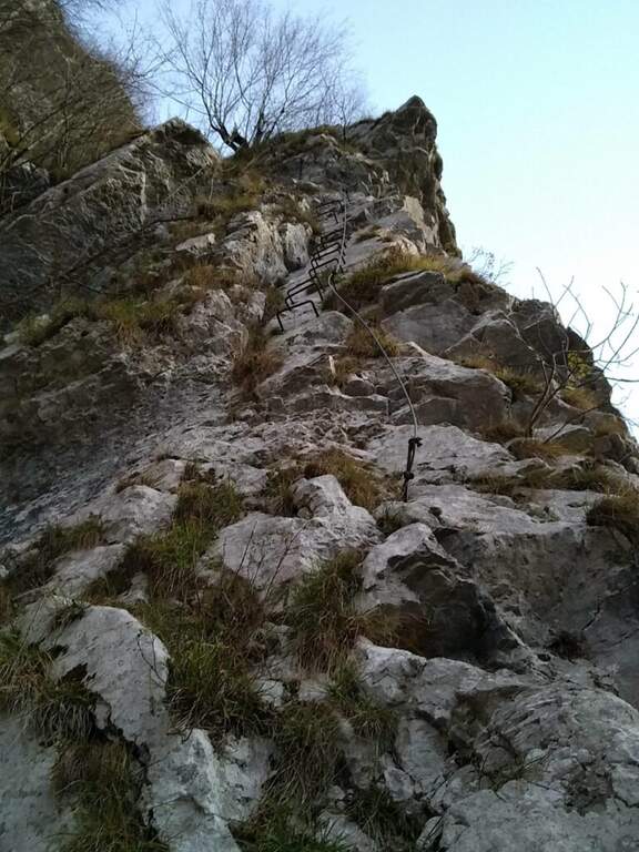
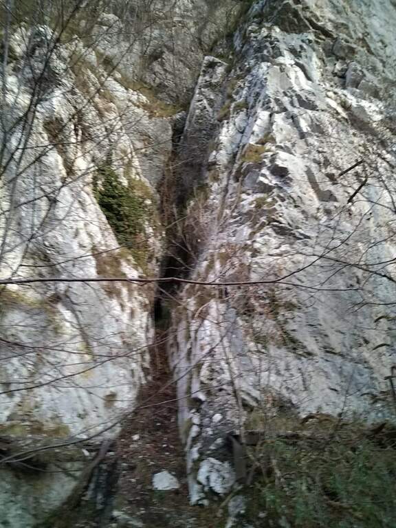
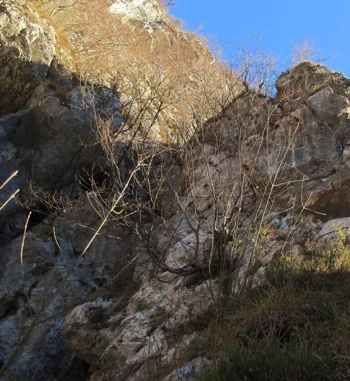
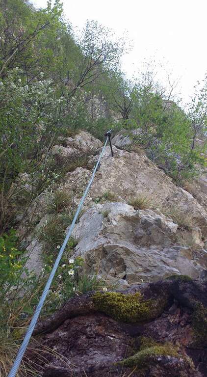
The attack is the first test bench: the cable starts at 4 meters from the ground and you need to climb a section of III degree free to secure. Once you reach the cable you climb a vertical wall of about twenty meters where, despite the cambres, the slope makes you feel the first difficulties; beyond the cambre the road continues vertical and aerial on rock poor of hooks and at times covered with vegetation, little climbable. Attached a edge rises a grassy tract (useful hollow on slippery soil) and leads under a rocky roof on a spurt but easy; it wanders the roof on the left with a diagonal traverse and bends right onto balzi of mixed grass and rock up to a balcony. It follows the passage probably more challenging: a spur with ascending traverse to the right, at times overhanging, which requires strength and agility (some pioli help the feet on smooth rock); the last stretch on plaque is decidedly athletic. After passing this section of about fifteen meters the ferrata ends (30' from the attack, 45' from the parking lot).
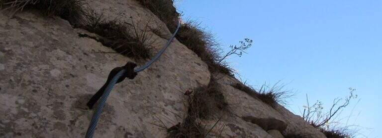
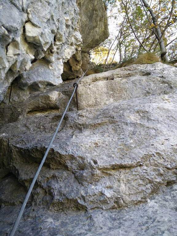
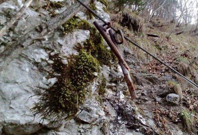
A short but not technically prohibitive way, where the force of arms counts above all. The main limit is safety: in several points the distance between the tokens is many meters, with high fall factor; maximum caution.
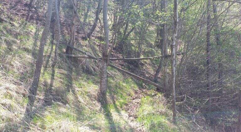
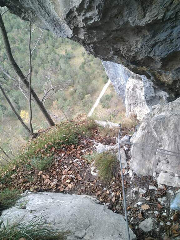
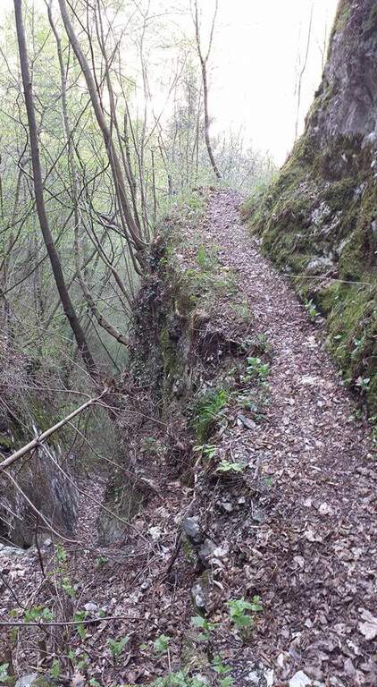
You follow the orange signs that descend steeply towards the central; the path is very steep and the foliage makes it slippery. Towards the end you walk an exposed and narrow nod with friable soil and slippery sloped rock, equipped with a unconscious cord: it is advisable to follow the arrow that, shortly before, bypasses the stretch exposed on the left. Then you return to the approach path and to the car (30' from the top, 1h 15' total).
For short approach and return it is well matched with other trips of the area: the neighbor Ferrata Palestra di Roccia della Val Gallina, the imprint Ferrata della Memoria al Vajont and, towards the Fall, the Costacurta; on the pordenonese sideAlta Via dei Rondoi.
- DifficultyHard
- RegionVeneto
- GroupVal Gallina
- Approach0:15 h
- Ferrata0:30 h
- Itinerary (a/r)1:30 h
- Hardware level difference150 m
- Route difference170 m
- Max250 m
- Length1,5 Km
