Caratteristica: Caduta sassi

  • Sentiero Attrezzato del Caminetto (Buco della Carlotta)

    Sentiero Attrezzato del Caminetto (Buco della Carlotta)

    Vie Ferrate › Lombardia › Lecco
    Sentiero Attrezzato del Caminetto (Buco della Carlotta)

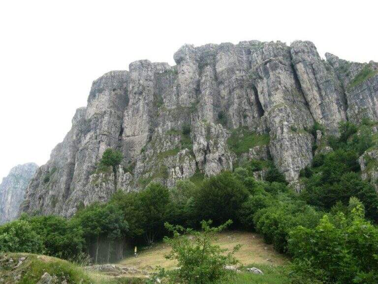
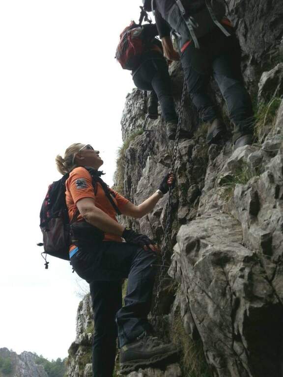
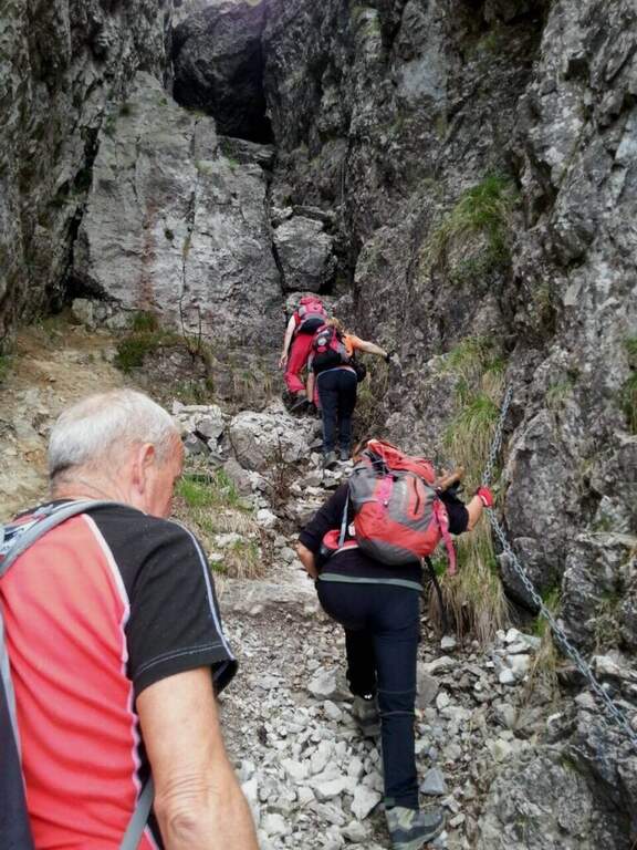
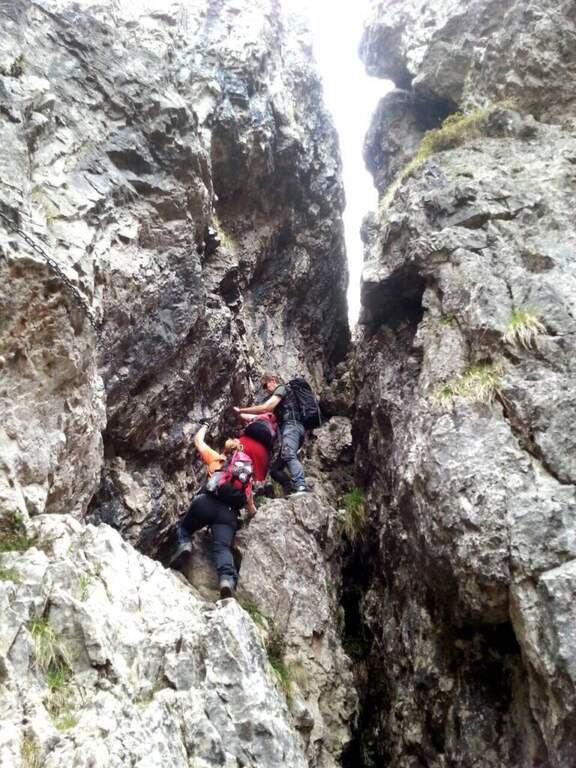
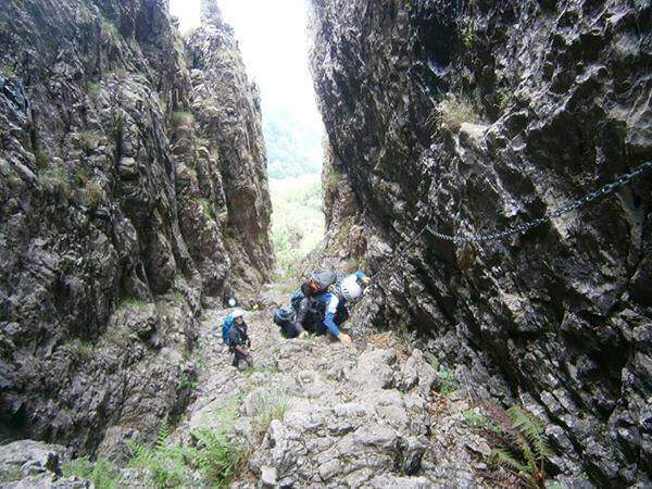
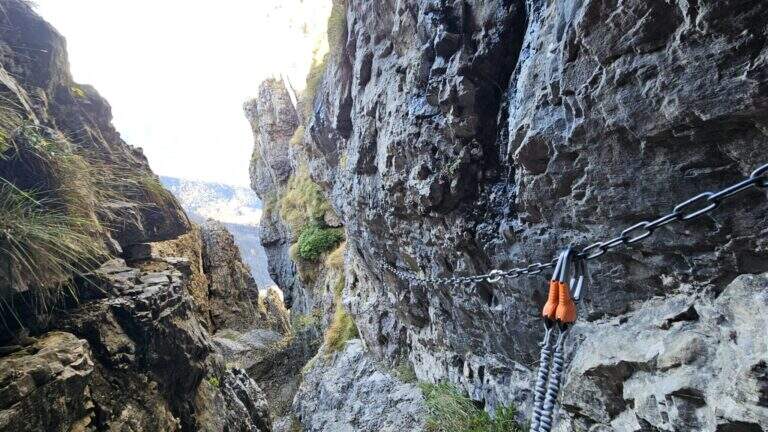
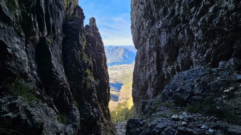
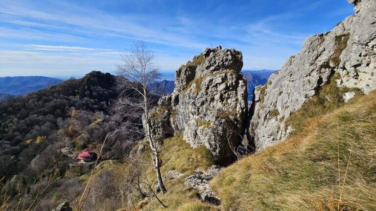
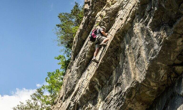
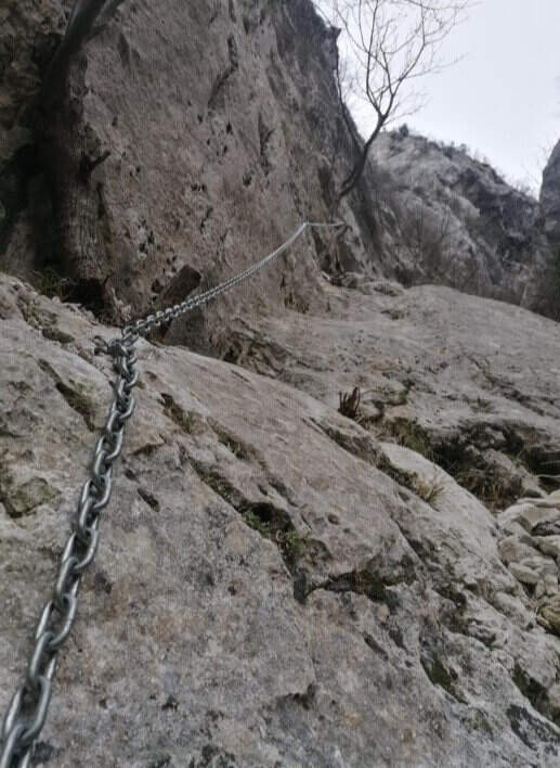
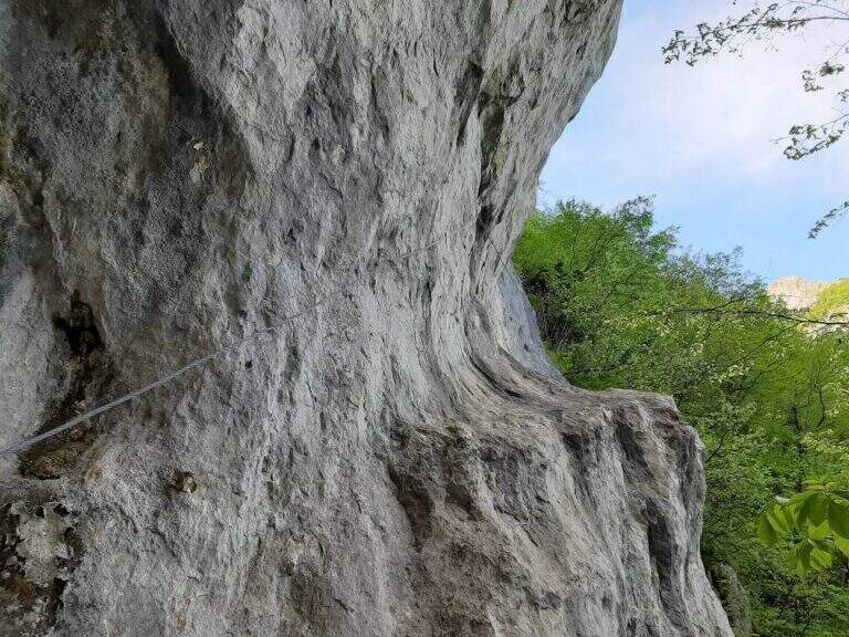
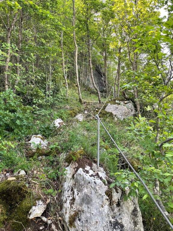
    Il Sentiero Attrezzato del Caminetto, also known as Buco by Carlotta, allows you to reach Pian Serrada from the Fò Pass; under the Resegone (Lecco). It develops along a fairly steep canyon with some chain-equipped sections; it is often combined with other routes in the area.

    ▲Approach

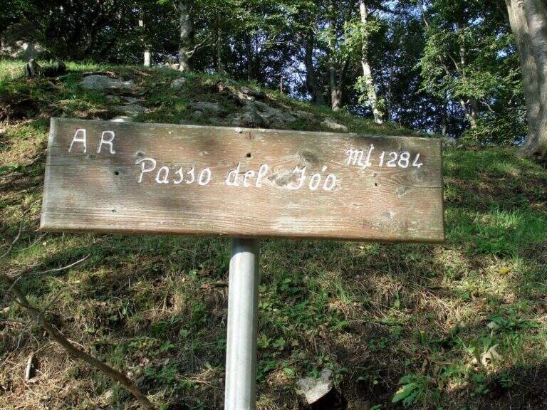
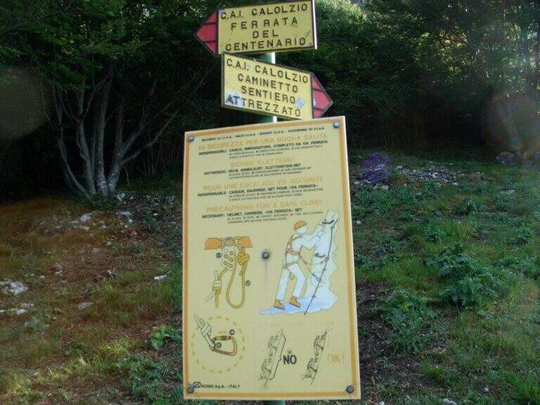
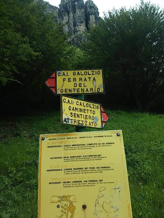
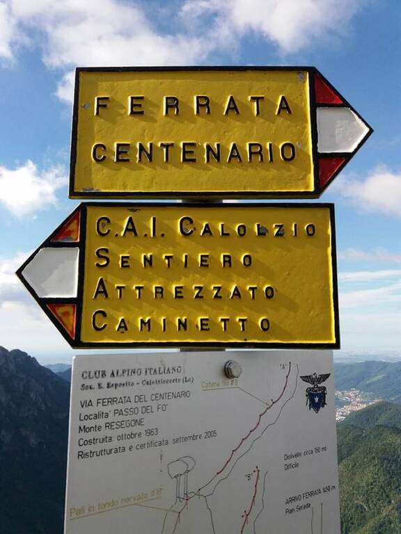
    Starting from the ' wide square of the funivia for the Plans d'Erna in Lecco (from the highway Lecco–Ballabio, all' exit of a gallery follow the signs «Piani d'Erna» going up through hairpins to the square). Open road signs on Google Maps. L' approach to the Passo Fò coincides with that of the Ferrata del Centenario: about 1h climbing with the cable car, or about 1h 30' walking from the parking lot (Sentiero 1 and then Sentiero 6). At the Fò Pass; the signs separate the ferrata from the equipped path.

    ▲The path

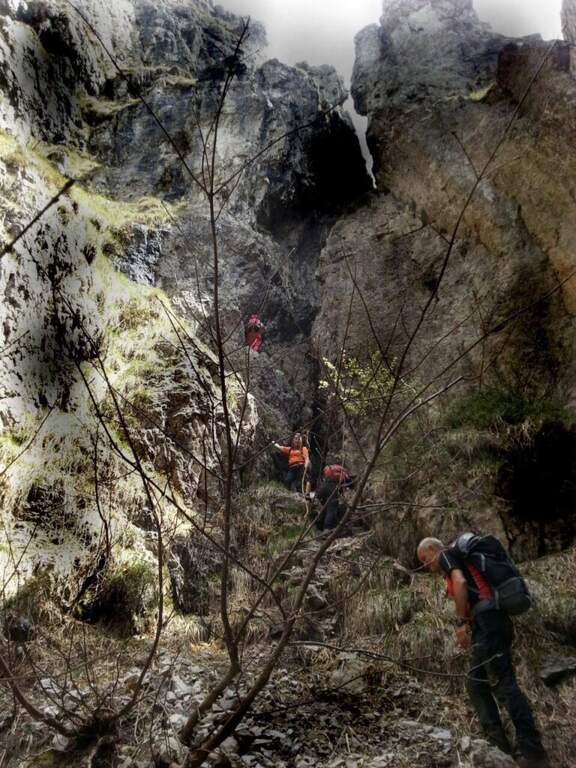
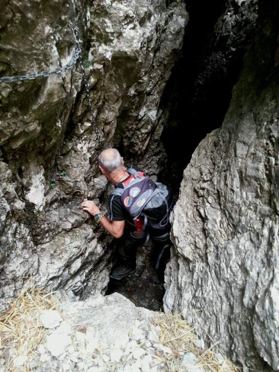
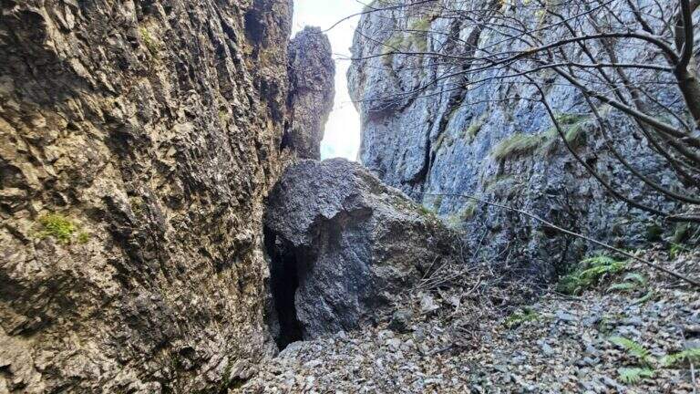
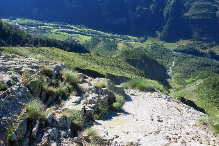
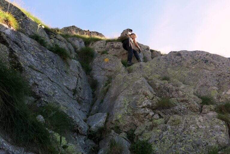
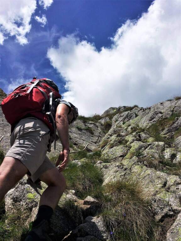
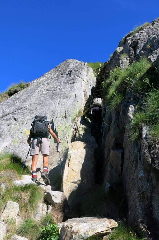
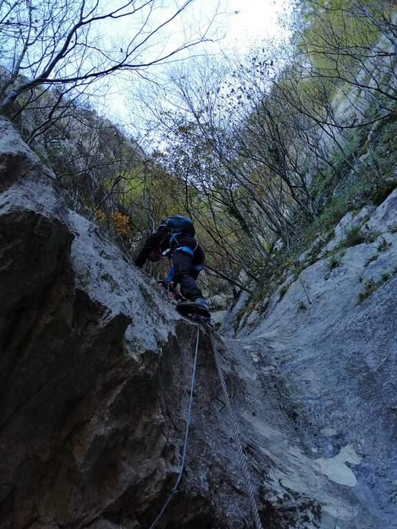
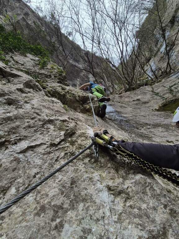
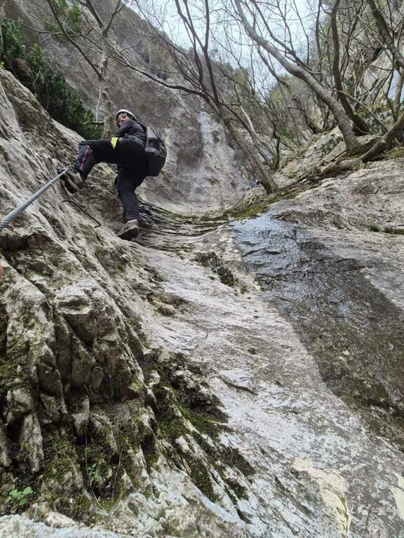
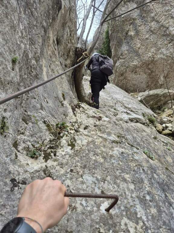
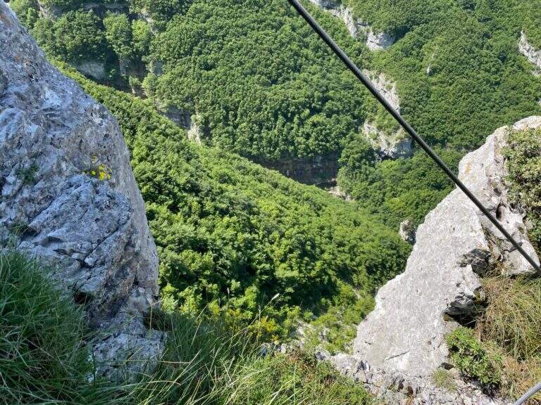
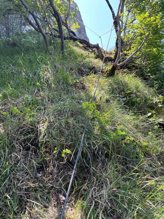
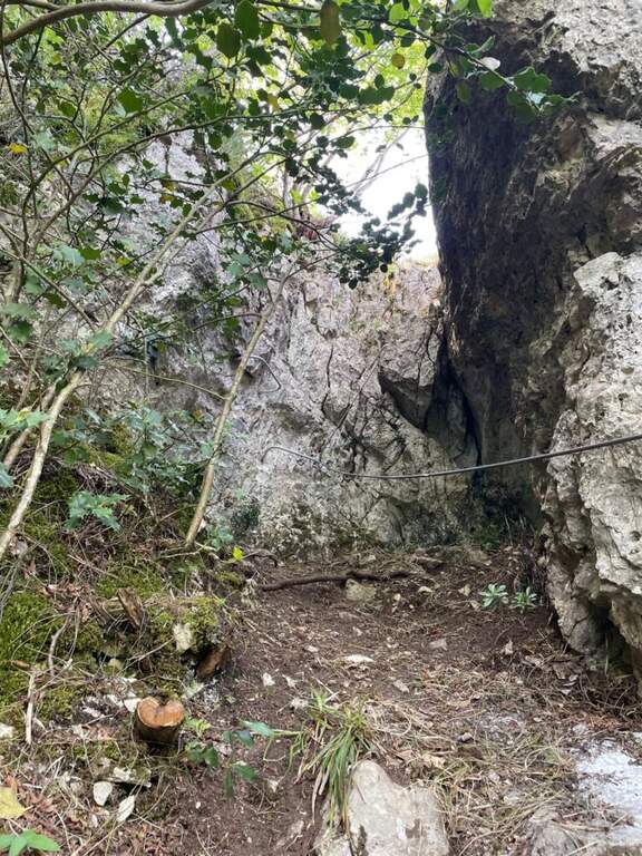
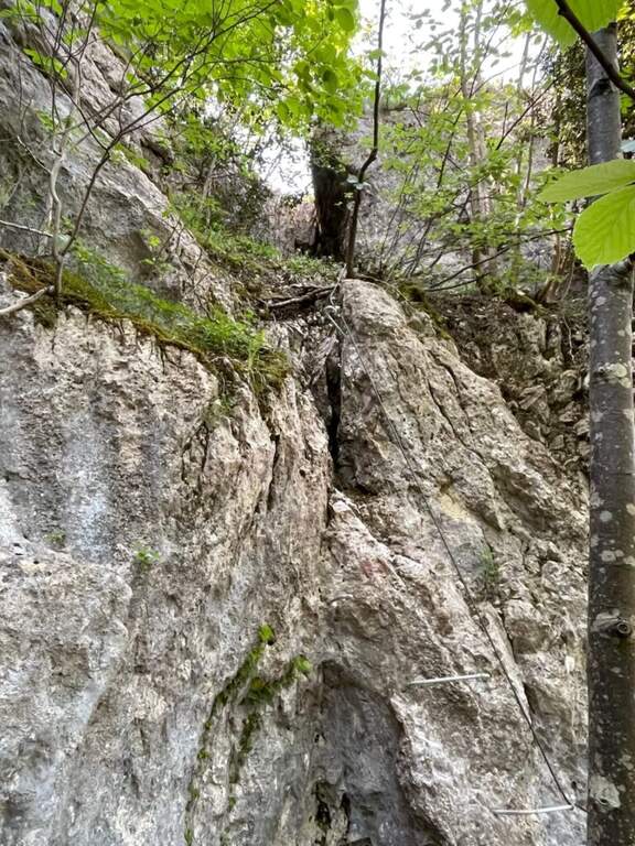
    From the Fò Pass; take destra (cartel) on steep and rocky path until the ' attack. You start with the first chain going up a placca, then turn left, you go back a couple of stretches and you do a short descent. The characteristic passage is reached between slender: under a grosso masso framed which goes beyond the right and goes up the «Buco della Carlotta» until you leave on a nod. It follows a second canal with some stretches a po' athletics (to climb it is necessary to try with patience to stick not immediately evident); then the path becomes più easy and exits from the fireplace. On the left, a sign indicates the Ferrata del Centenario; the trail continues on lawn and rocks in the Pian Serrada, where it ends (45' from' attack, 1h 45' from the cable car, 2h 15' overall).

    ▲Character and difficulty

    Itinerary easy, with some vertical but not difficult passages and contained exposure, developing in a canon. More equipped path that real ferrata.

    ⚠ Be careful not to move uphill stones: they could hit those who are below ( indispensable helmet). A passage in the canal is narrow and can give problems with bulky backpacks: useful a postponement/feed to hang the backpack to the harness.

    ▲Discipline

    From Pian Serrada go up to Sentiero 1 and take it downhill until the junction with Sentiero 5: right to the cable car station of Piani d'Erna (1h from the term, 2h 45' overall), or straight to Stoppani Refuge and parking (1h 45' from the term, 3h 30' overall).

    ▲To match

    It is often used as a descent/return to Passo Fò after the Ferrata del Centenario, or as a return from excursions to Resegone as the Ferrata Gamma 2 o la Ferrata Silvano de Franco.

    ▲Gallery
    Technical data
    • DifficultyEasy
    • RegionLombardy
    • ProvinceLecco
    • GroupResegone
    • Approach1h
    • Fully equipped45 min
    • Complete itinerary2h 45'
    • Level difference150 m
    • Route difference180 m
    • Maximum1475 m
    • Length6 km
  • Sentiero Attrezzato al Bivacco Boccalatte-Piolti

    Sentiero Attrezzato al Bivacco Boccalatte-Piolti

    Vie Ferrate › Aosta Valley › Aosta
    Sentiero Attrezzato al Bivacco Boccalatte-Piolti

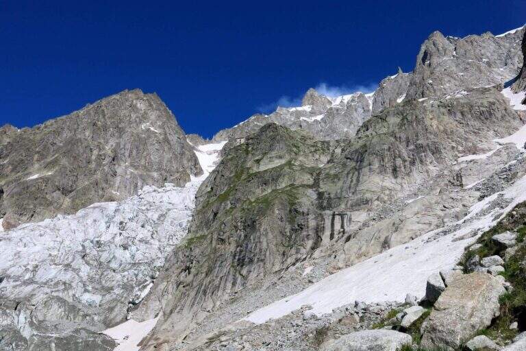
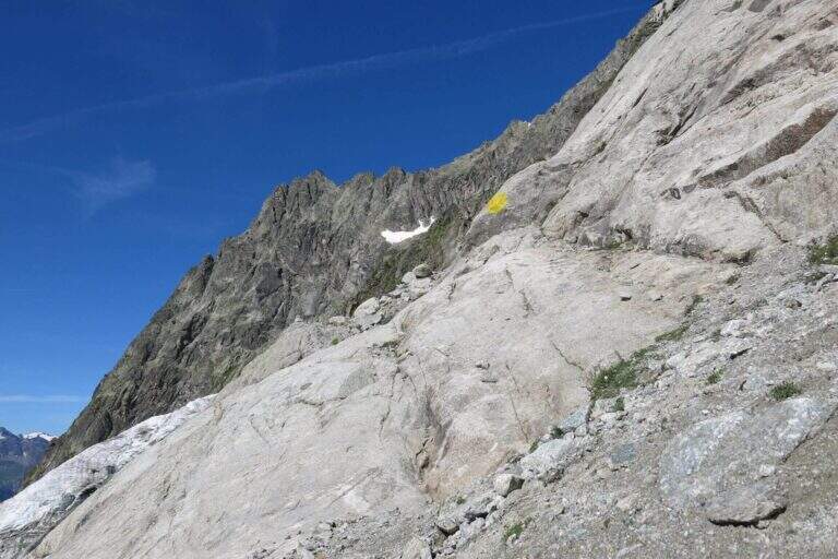
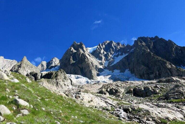
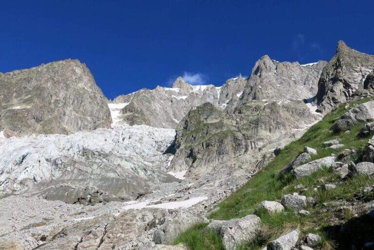
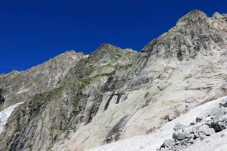
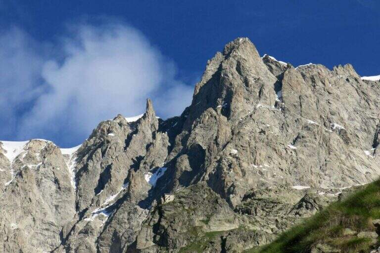
    The ascent to the Bivacco Boccalatte-Piolti, at the foot of the Grandes Jorasses in the group of Mont Blanc, & a long and challenging itinerary, with considerable difference in altitude and some not always easy. The part with fixed protections (bridges and stairs) covers about 200 meters and ` only a component of un' hike with a strong alpine character.

    ▲Approach

    Starting point & free; Planpincieux, a fraction of Courmayeur (Aosta): turn towards the center of the village, where c' ` a wide deck to park, and follow the signs of the sentiero 21 at l' hotel-restaurant Miravalle. Open road signs on Google Maps. The first hour & quiet, first in the woods then on the meadows with incredible views of Mont Blanc and Grandes Jorasses; after about one' now we face due guadi climbing up the walls of a stream. Then a placconata is very steep with passages of I and II degree (not always stable and slippery if wet); following the yellow signs and a few short stretches equipped you reach a wire scale that exceeds a leap of 20 meters (1h 30' from the parking lot). Continue to zig-zag on a morainic crest and, after about one' now, turn left through a nevaio to the rocky bastion above which rises the bivouac.

    ▲The path

    Climb on rock sections helped by grossi canaponi which cut to the left; follow the fixed ropes up to a pulpit and then, on air route, up to the balcony on which è built the Bivacco Boccalatte-Piolti (30' from the strike, 3h 30' from the parking lot È you can continue beyond the refuge on fixed ropes until you reach the glacier.

    ▲Character and difficulty

    Itinerary for experienced hikers: the difficulty lies in the difference in altitude, in the guds, in the rock passages of I-II degree and in the mountain environment at the base of one of the most challenging climbs of the Alps.

    ⚠ In the ' last traverse on the nerve attention to the above steel, which può download ice blocks: mandatory helmet. Guades can be difficult at certain times. Il bivacco/rifugio è open on weekends of June and every day of July and August (information at the CAI of Turin).

    ▲Discipline

    You descend along the same climb route (about 3h).

    ▲To match

    For the length does not match other routes in the same day, but in the area there are the Sentiero Attrezzato al Rifugio Dalmazzi, la Ferrata al Bivacco Borelli, il Sentiero al Mont de la Brenva e la Ferrata at Monzino Refuge.

    ▲Gallery
    Technical data
    • DifficultyHard
    • RegionAosta Valley
    • ProvinceAosta
    • GroupMont Blanc
    • Approach3h
    • Fully equipped30 min
    • Complete itinerary (a/r)6h 30'
    • Level difference150 m
    • Route difference1224 m
    • Maximum2803 m
    • Length8,3 km
  • Sentiero Attrezzato del Canalino della Balza Forata

    Sentiero Attrezzato del Canalino della Balza Forata

    Vie Ferrate › Marche › Pesaro-Urbino
    Sentiero Attrezzato del Canalino della Balza Forata
    Moderately Hard● OpenDescriptionComplexityMapsGallery

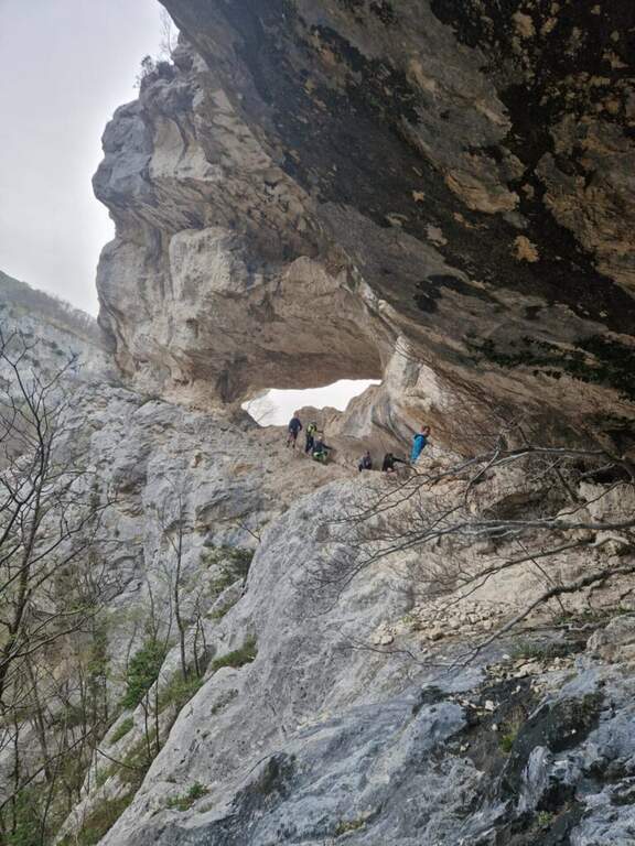
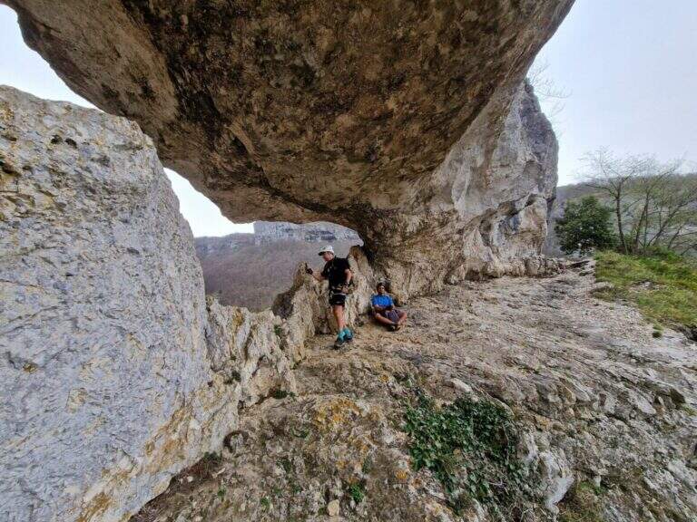
    Il Sentiero Attrezzato del Canalino della Balza Forata sale, tra cenge e tratti verticali, fino alla spettacolare apertura naturale a forma di finestra che da il nome alla parete, nella suggestiva cornice della Valle dell’Abisso e dell’Infernaccio del Monte Nerone. Non e una ferrata in senso stretto ma un itinerario alpinistico reso piu accessibile da corde fisse: difficolta tecniche moderate, ma ambiente serio con tratti sprotetti. Consigliato a chi ha gia esperienza.

    ▲Approach

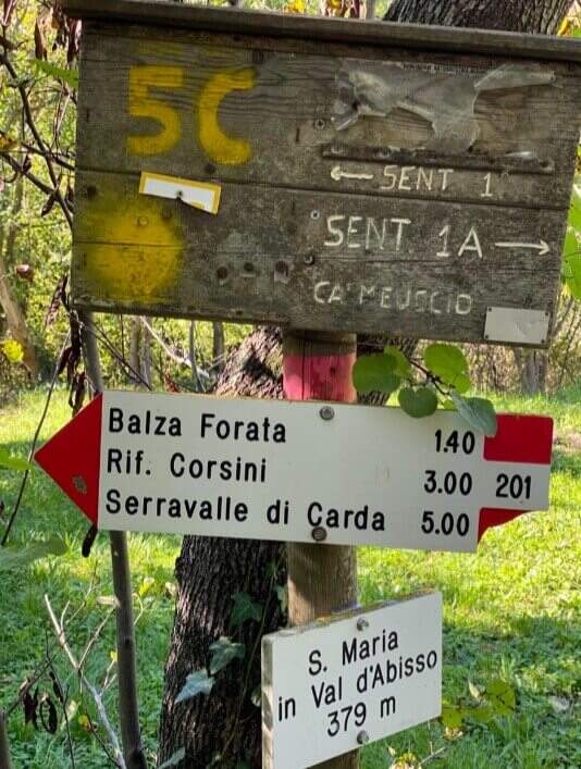
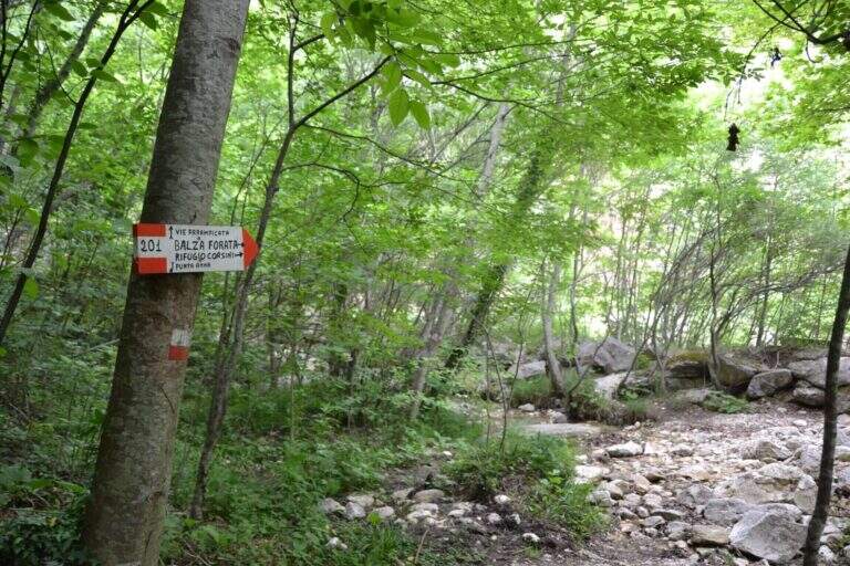
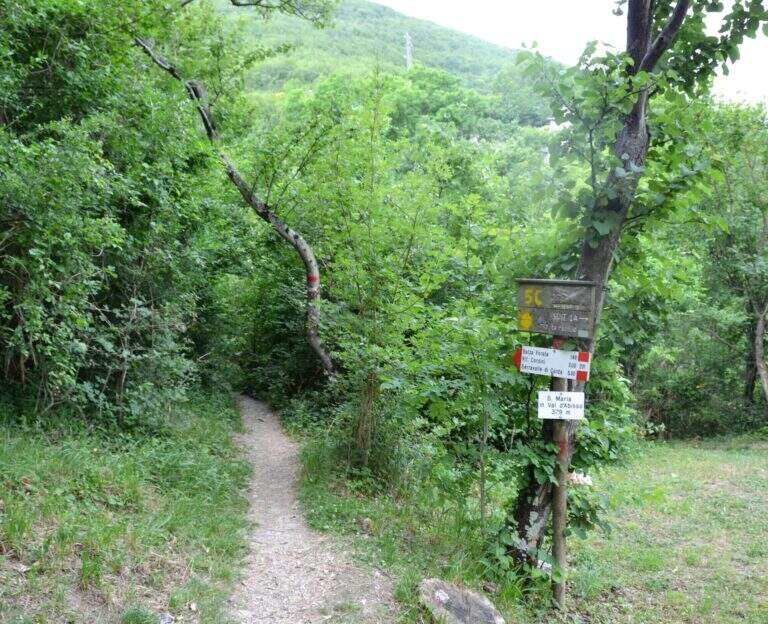
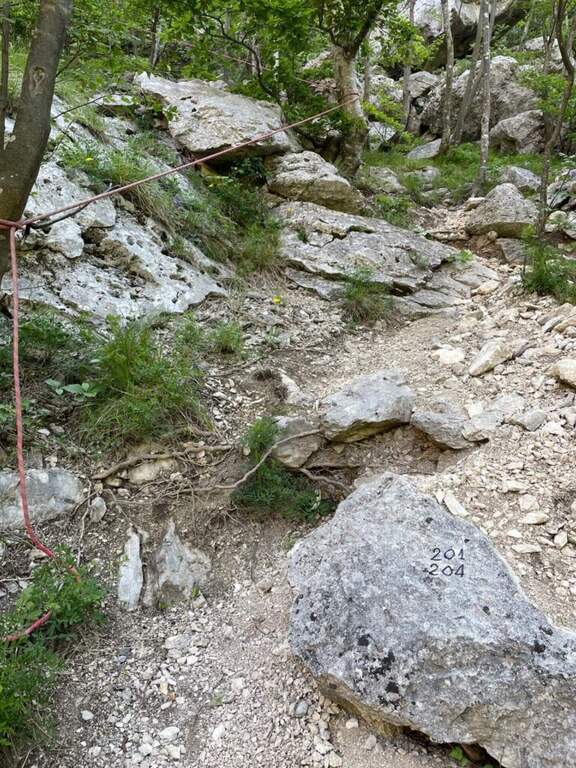
    Sono possibili due avvicinamenti. Avvicinamento 1 (consigliato per l’anello con la sola Balza Forata): si parte dal Santuario di Santa Maria in Val d’Abisso (380 m), dove si parcheggia. Oltrepassata la chiesa tenendola a sinistra, si imbocca il sentiero 201 che attraversa la Val d’Abisso per circa 40 minuti, supera un vecchio mulino dove si tiene la sinistra restando sul 201; si oltrepassa il torrente, poco dopo si tiene la destra in salita e a un bivio successivo ancora a destra (ignorando il sentiero a mezzacosta). Raggiunta la cava di travertino, con un ampio piazzale e una panchina sotto le pareti bianche di Punta Anna, si segue a sinistra il sentiero a bolli rossi fino a superare l’acquedotto col pannello solare; sulla sinistra un grosso masso segna l’attacco (cavetto metallico e corda gialla), circa 1 ora dal parcheggio. Avvicinamento 2 (consigliato in discesa se si vogliono fare entrambi gli itinerari): si raggiunge in auto il secondo tornante che si affaccia sulla valle dell’Infernaccio (1101 m) e si parcheggia; si scende per il sentiero 204 seguendo ometti e segni rossi fino al sentiero 201, poi a un bivio si scende a destra alla base della parete della Balza Forata, la si aggira a destra fino alla ferrata e si scende a sinistra fino al grosso masso dell’attacco (678 m), circa 1 ora. Apri il punto di partenza su Google Maps.

    ▲The path

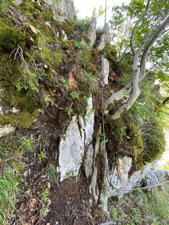
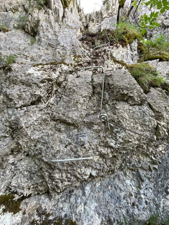
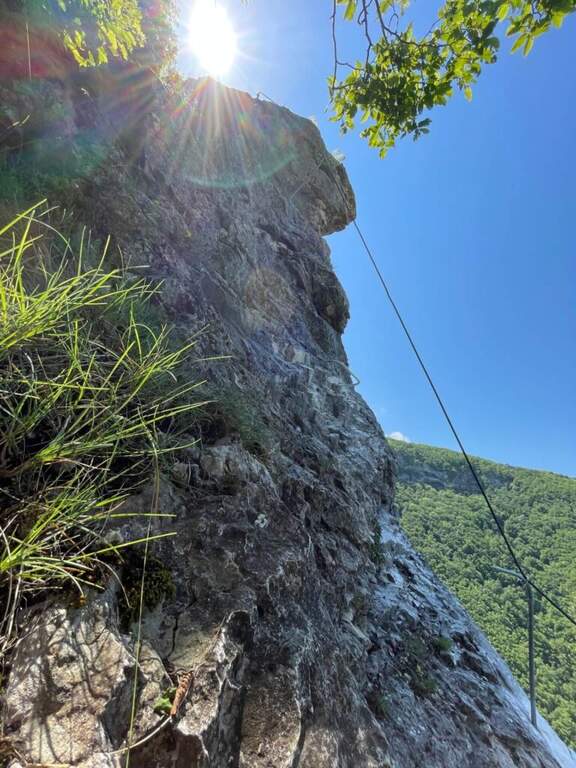
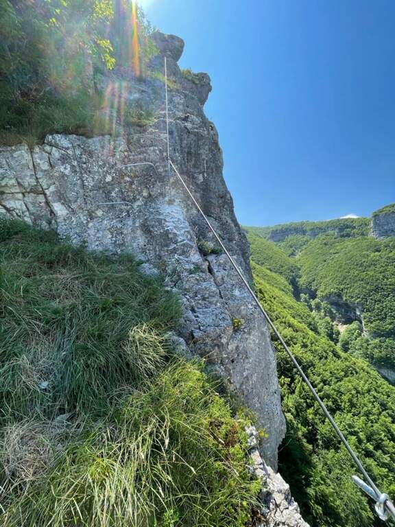
    Dall’attacco la via attrezzata alterna sezioni verticali a tratti piu agevoli, con alcuni passaggi impegnativi dove alcune cambre metalliche aiutano pur richiedendo passi di forza. Seguendo la parete fino all’entrata del canalino sulla sinistra (alcuni vecchi chiodi indicano la via), si risale il canalino detritico con catene e corde fisse fino a un primo tratto verticale piu attrezzato. Superato il muretto con gli scalini in ferro, si segue il cavo a sinistra lungo il canalone alternando fondo terroso e tratti verticali fino in cima a Punta Anna. Si arriva a un “grottino”: un tratto scivoloso attrezzato con gradini in ferro e fune d’acciaio, da affrontare con la massima attenzione perche il terreno e pieno di sassi. Raggiunto il “Grottone”, si prende una bella cengia leggermente esposta; svoltando a sinistra si supera un breve tratto con scalini e corda, si percorre un’altra cengia e infine l’ultimo tratto attrezzato che conduce all’interno della Balza Forata, dove la via termina (circa 1 ora dall’attacco, 2 ore dal parcheggio). Volendo, oltre la finestra si puo proseguire sul nuovo Canalino Vampa (circa 40 minuti), itinerario verticale ed esposto che costeggia lo strapiombo dell’Infernaccio.

    ▲Carattere e difficolta

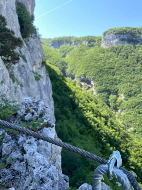
    Le difficolta tecniche restano moderate, ma vanno distinte dall’impegno complessivo: l’itinerario presenta tratti sprotetti e si svolge in un ambiente che richiede attenzione ed esperienza. Il cavo e nel complesso in ottimo stato; qualche gradino in ferro e meno saldo ma non pericoloso, e in alcuni punti il cavo non e molto teso.

    ⚠ Forte rischio di caduta sassi: caschetto obbligatorio e, se si va in compagnia, mantenere ampia distanza. Dove il cavo e poco teso non restare vicini. Usate le corde fisse come corrimano e sicurezza, evitando di appendervisi: e un itinerario per escursionisti gia esperti.
    ▲Discipline

    Con l’avvicinamento 1 si oltrepassa la Balza Forata tenendo la sinistra fino a un ghiaione in discesa che si attraversa per immettersi nel sentiero 201, chiudendo l’anello fino alla cava di travertino e quindi a ritroso fino al Santuario. Con l’avvicinamento 2, dopo l’eventuale Canalino Vampa si rientra risalendo il sentiero 204 (e poi il 201), circa dieci minuti fino al tornante.

    ▲Storia e dintorni

    Il canalino fu percorso da alpinisti marchigiani a fine anni Sessanta; il progetto di attrezzarlo a sentiero attrezzato e iniziato nel 2015 e completato nel 2020, mentre il Canalino Vampa e stato trasformato in via attrezzata da alcuni volontari nel maggio 2026. La Balza Forata, con il sole che filtra dalla finestra naturale, regala un colpo d’occhio davvero scenografico (relazione a cura di Cristian Manduchi). In zona si possono abbinare il trekking dell’Orrido dei Cupi di Fiamma e le cascate di Pian dell’Acqua. Per quanto riguarda le vie ferrate, nelle Marche l’unica altra opzione al momento e la Ferrata dei Piceni a Pioraco, piuttosto lontana.
    ▲Gallery
    Technical data
    • DifficoltaModerately Hard
    • RegionMarche
    • GroupAppennino Marchigiano
    • Approach1:00 h
    • Ferrata1:00 h
    • Itinerary (a/r)3:00 h
    • Hardware level difference200 m
    • Route difference560 m
    • Max880 m
    • Length6,2 Km
Need help? Write to us!