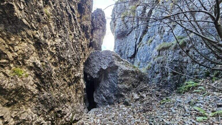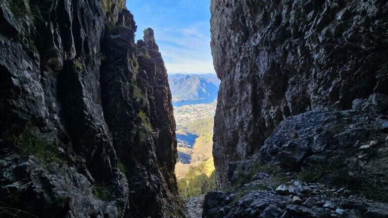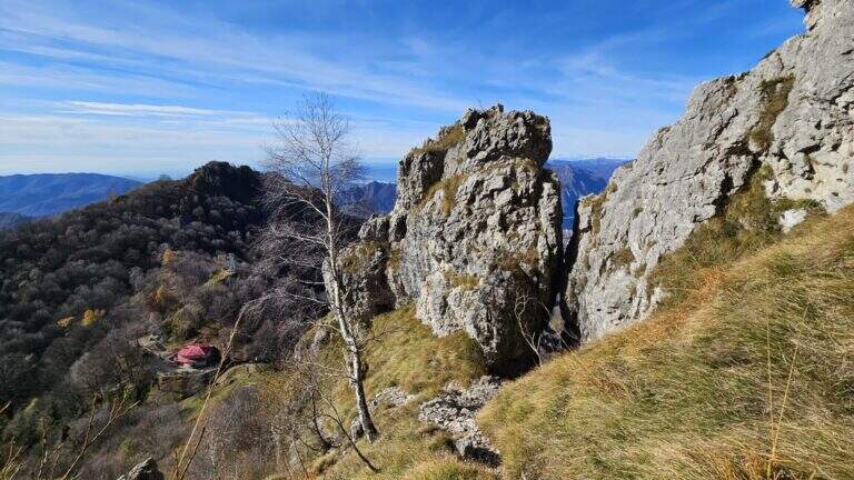
Caratteristica: Canalone

  • Sentiero Attrezzato Carlo Villa al Canale Bobbio

    Sentiero Attrezzato Carlo Villa al Canale Bobbio

    Vie Ferrate › Lombardia › Lecco
    Sentiero Attrezzato Carlo Villa al Canale Bobbio
    Moderately Hard● OpenDescriptionComplexityMapsGallery

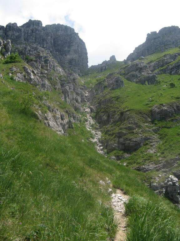
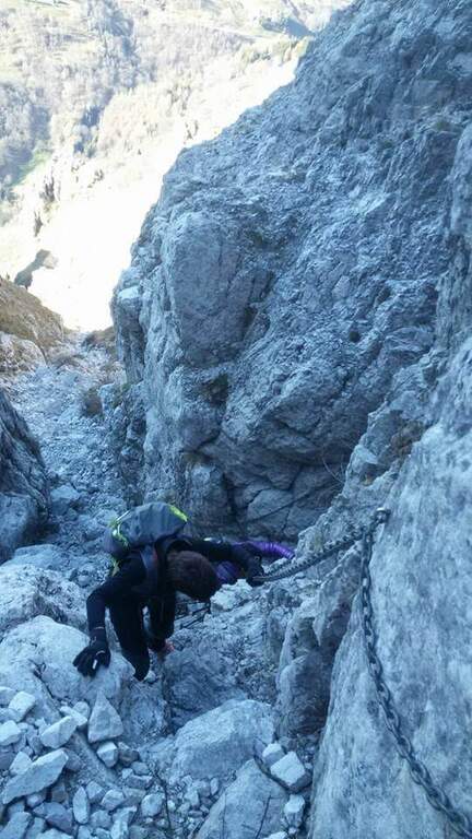
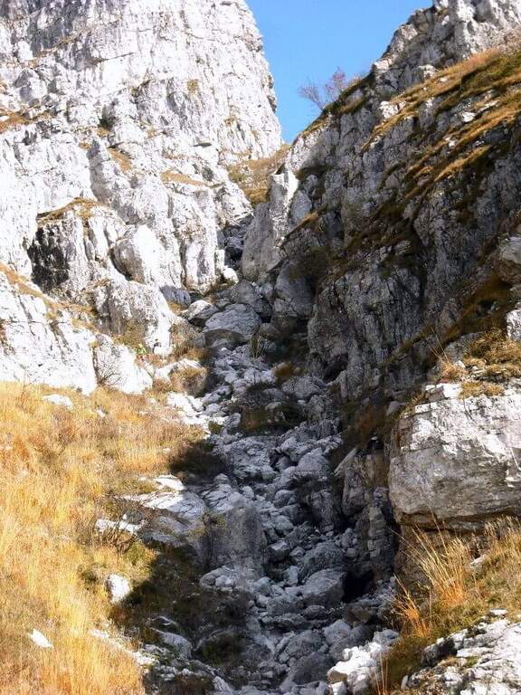
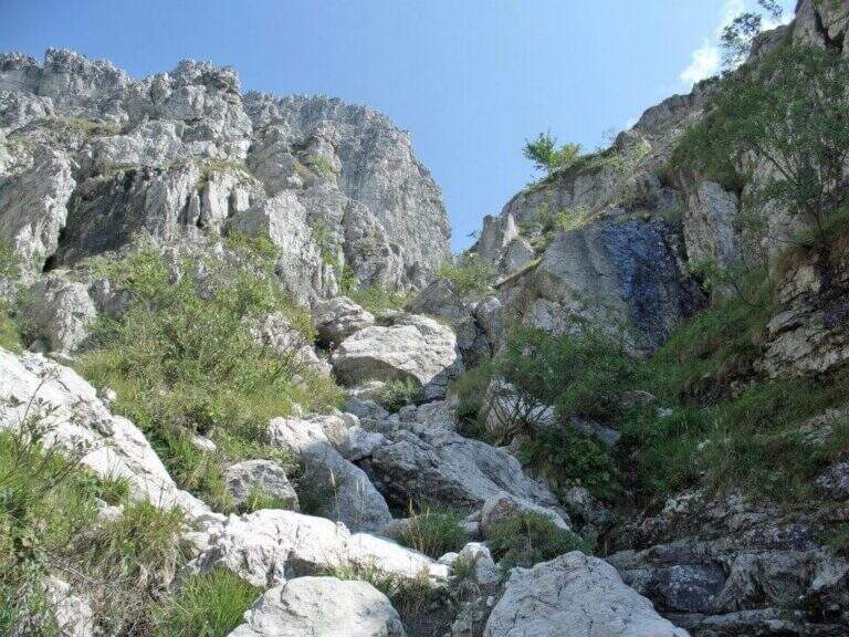
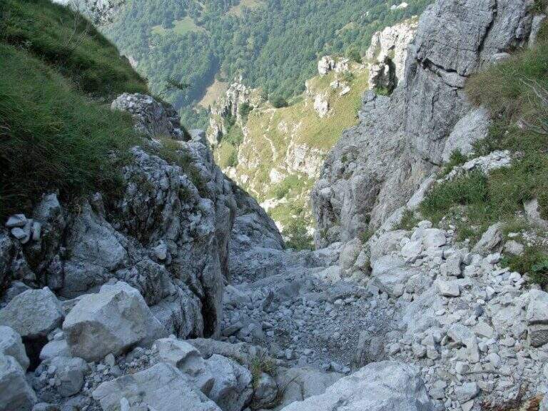
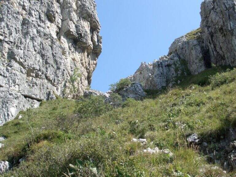
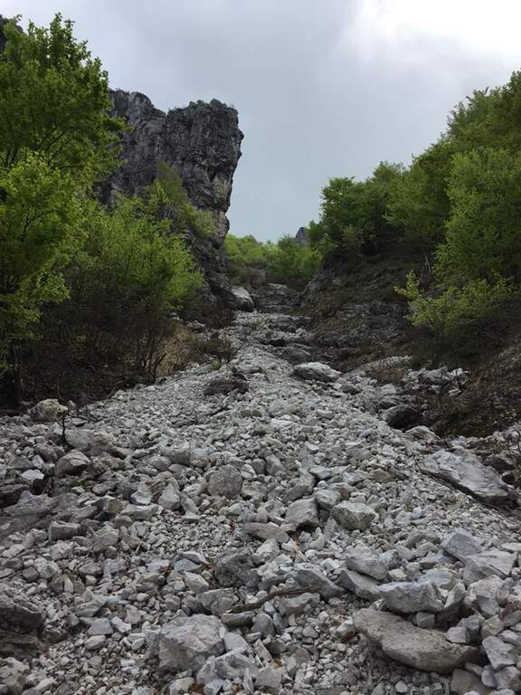
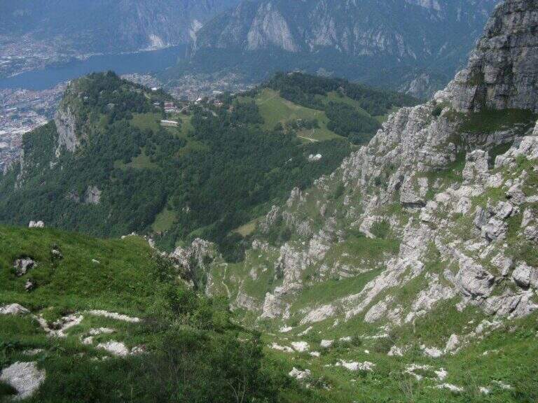
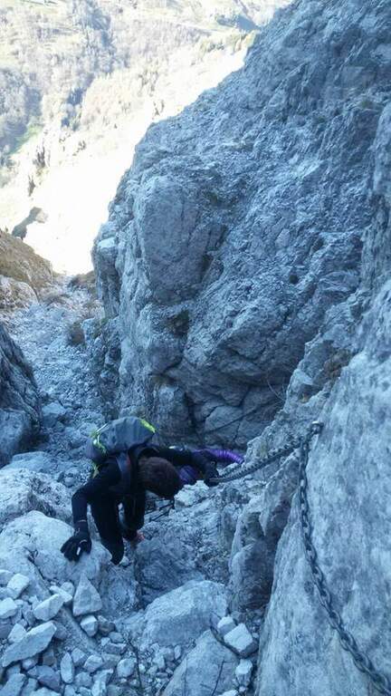
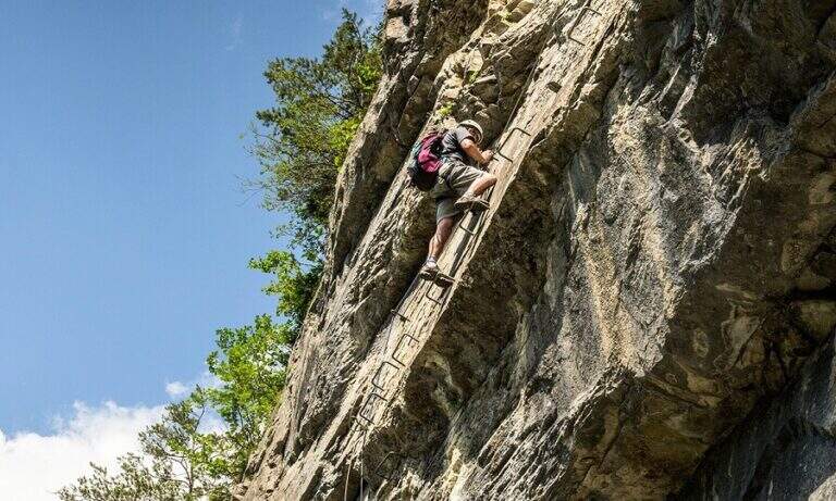
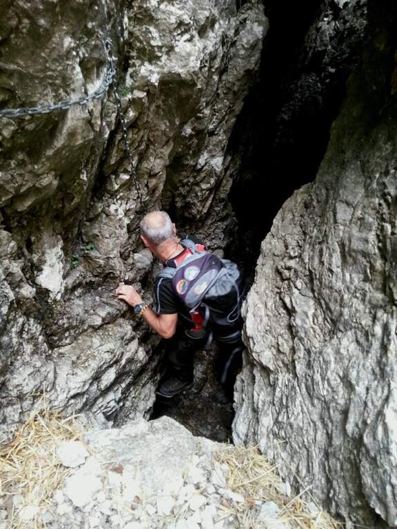
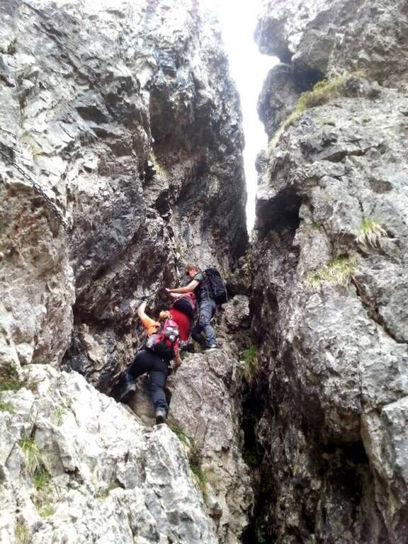
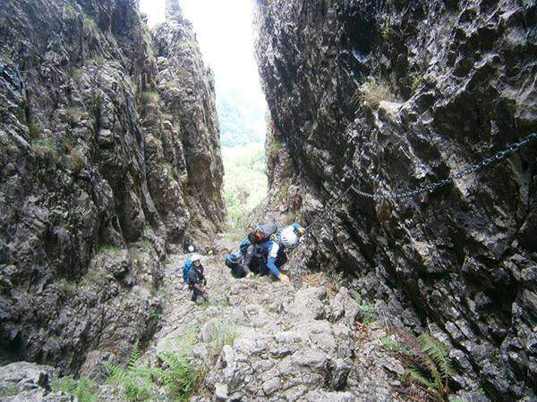
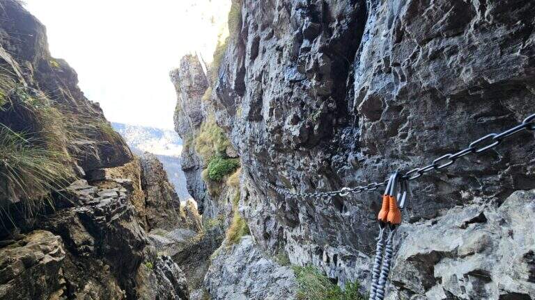
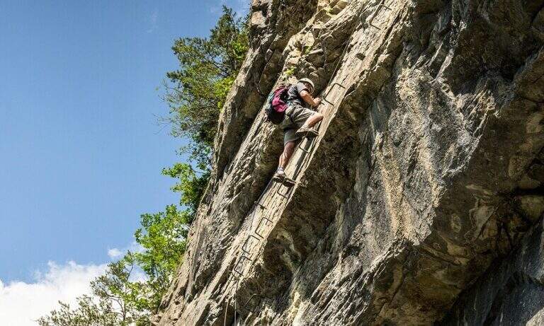
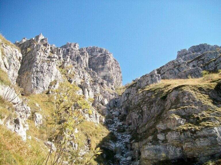
    Il Sentiero Attrezzato Carlo Villa al Canale Bobbio connects the Piani d'Erna to the crest of the Resegone, going up a suggestive channel with some exposed sections equipped. It is accessible in both directions and easily connected to the other routes of Resegone.

    ▲Approach

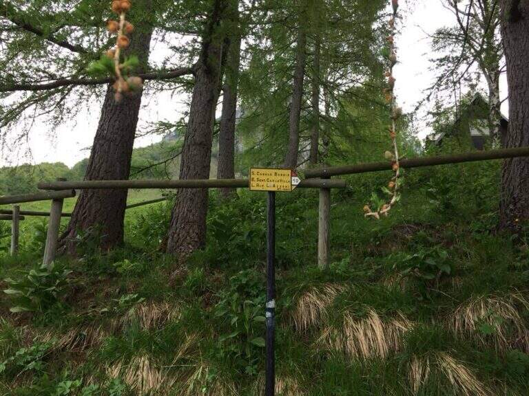
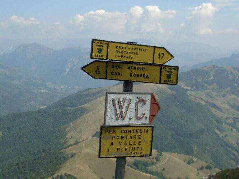
    Starting from the ' wide square of the funivia for the Plans d'Erna in Lecco (from the highway Lecco–Ballabio, exit «Piani d'Erna», between the hairpin bends to the square). Open road signs on Google Maps. It can be arranged; climb to Piani d'Erna in three ways: with the funivia, walk to Stoppani Refuge, or with the long but not difficult Ferrata Gamma 1. From Piani d'Erna descends to the Bocche d'Erna and follow the signs for the Sentiero 10, uphill on dirt road to some houses; from here, to the right (cartel), the path enters the forest where the actual route begins (20' from Piani d'Erna).

    ▲The path

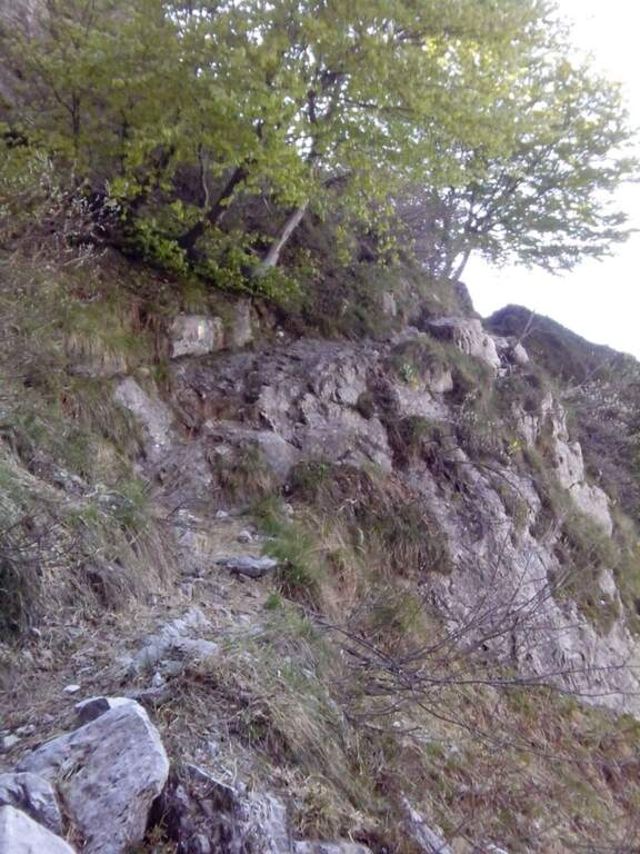
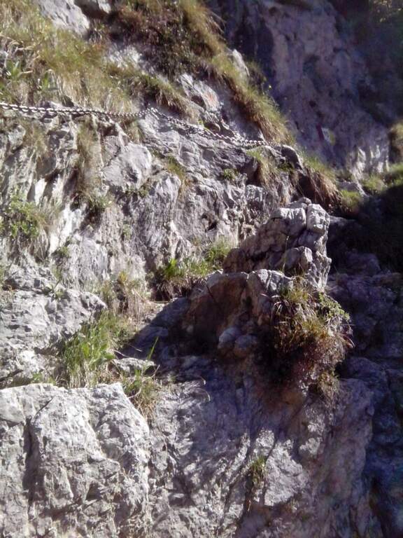
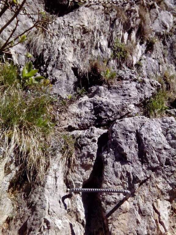
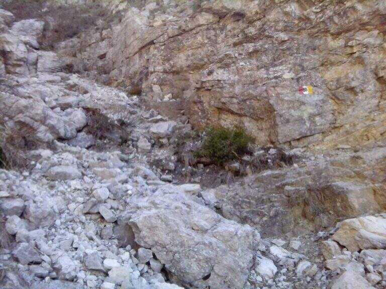
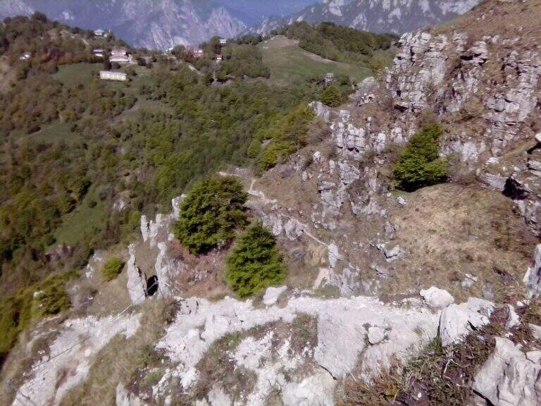
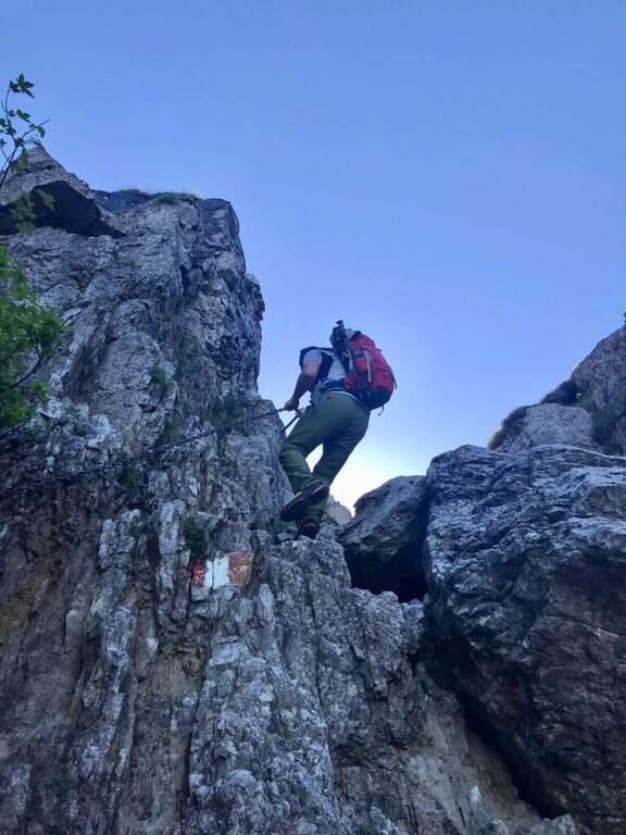
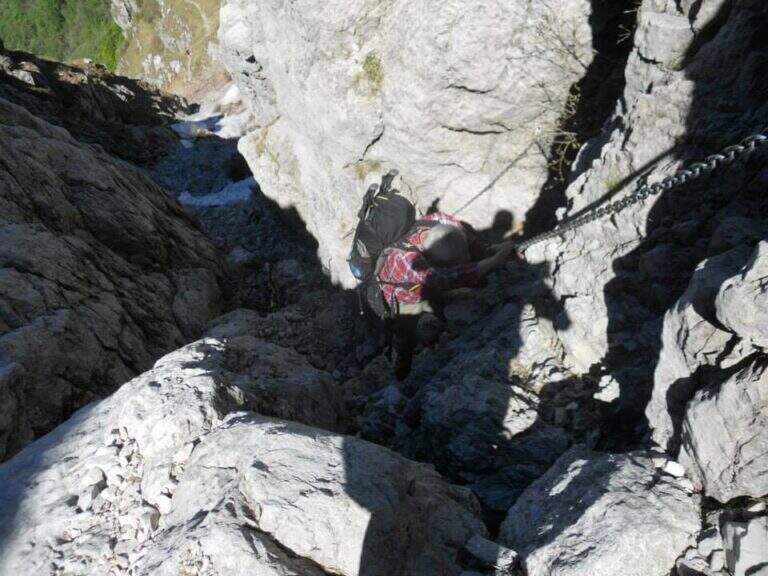
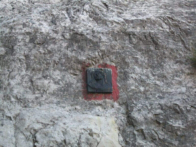
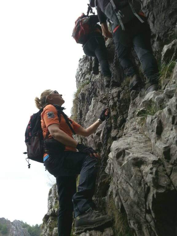
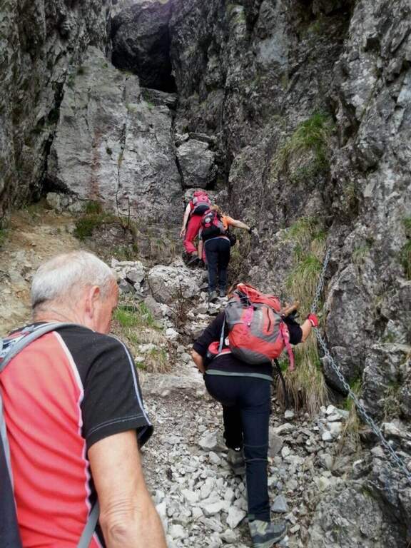
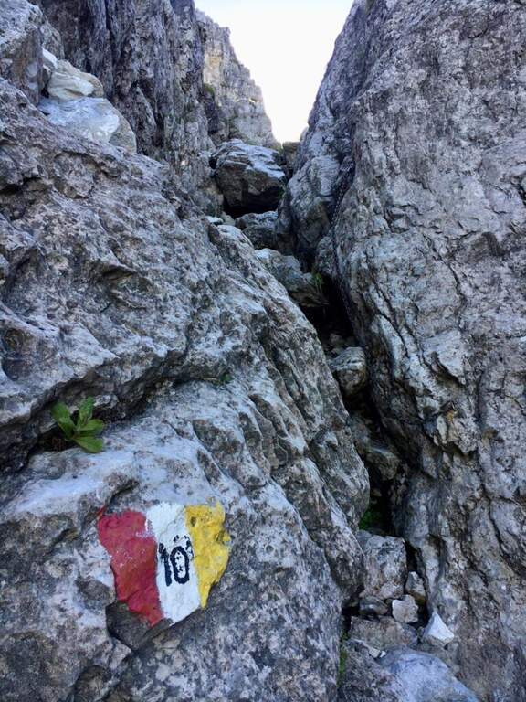
    Il sentiero parte senza difficoltà verso sud-sudovest, con molti saliscendi, alcuni assistiti da catene e cavi nei tratti più esposti (attenzione col fondo umido). Si raggiungono alcune cenge esposte attrezzate, una con una staffa; da qui il percorso si fa più impegnativo addentrandosi nel canalone, seguendo i segni bianco-rosso-giallo. Si risale una costa esposta sul lato destro con l'aiuto del cavo, tratto più ripido e faticoso, incastonato tra le guglie della cresta nord del Resegone, fino nella parte più angusta del Canalone Bobbio. Si risale un tratto di poco meno di 100 metri con diversi massi attrezzati (paretine di 2-4 metri, in genere in traversata diagonale, con un paio di tratti verticali). Il paesaggio diventa più austero fino a una stretta gola dove si trova il passaggio chiave, comunque di difficoltà moderata; nella gola un gendarme roccioso di circa 3 metri si risale e si attraversa in diagonale a sinistra, chiudendo le difficoltà. Si prosegue in ripida salita su misto terra e sassi e poi sui prati sommitali fino alla Selletta di Bobbio, dove il sentiero termina (2h dall'inizio del tratto attrezzato, 2h 20' dalla stazione a monte).

    ▲Character and difficulty

    Itinerary of moderate difficulty: the equipped sections protect exposed cenges and the mass of the canalone, never really exposed but sometimes steep and tiring. Beautiful rocky environment between the Resegone spires.

    ⚠ With wet bottom the initial ups and the cenges become slippery: prudence. Helmet and essential hardware set, also for possible stones in the canalone.

    ▲Discipline

    L' più option; common: in about 20' we reach the Rifugio Azzoni by crossing the ridge south-southwest; from here we descend on Sentiero 1 and, at the crossroads on Sentiero 5 to Piani d'Erna and the cable car (1h 45' from the end, 4h complex Alternatively, from the Selletta Bobbio you can può take the north ridge of the Resegone (beware of the rocks) to the Passo Giuff.

    ▲To match

    It easily concatenates with other routes of Resegone, such as the Ferrata Gamma 1 approaching and the Sentiero del Caminetto downhill.
    ▲Gallery
    Technical data
    • DifficultyModerately Hard
    • RegionLombardy
    • ProvinceLecco
    • GroupResegone
    • Approach20 min
    • Fully equipped2h
    • Complete itinerary4h
    • Level difference400 m
    • Route difference451 m
    • Maximum1740 m
    • Length6 km
  • Sentiero Attrezzato del Caminetto (Buco della Carlotta)

    Sentiero Attrezzato del Caminetto (Buco della Carlotta)

    Vie Ferrate › Lombardia › Lecco
    Sentiero Attrezzato del Caminetto (Buco della Carlotta)

    Il Sentiero Attrezzato del Caminetto, also known as Buco by Carlotta, allows you to reach Pian Serrada from the Fò Pass; under the Resegone (Lecco). It develops along a fairly steep canyon with some chain-equipped sections; it is often combined with other routes in the area.

    ▲Approach

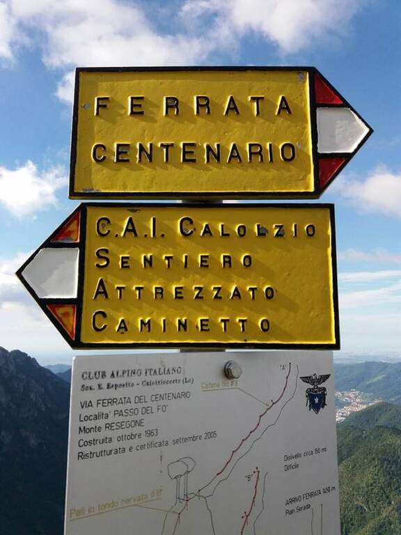
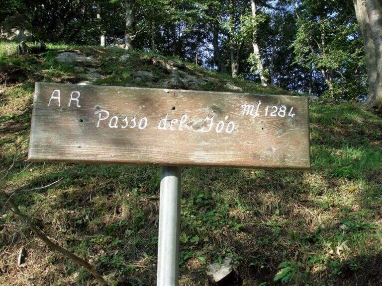
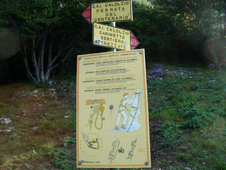
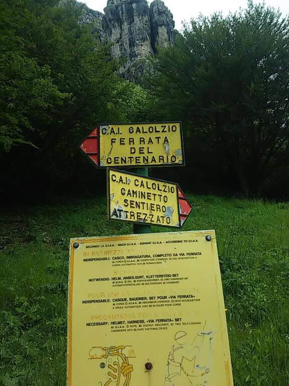
    Starting from the ' wide square of the funivia for the Plans d'Erna in Lecco (from the highway Lecco–Ballabio, all' exit of a gallery follow the signs «Piani d'Erna» going up through hairpins to the square). Open road signs on Google Maps. L' approach to the Passo Fò coincides with that of the Ferrata del Centenario: about 1h climbing with the cable car, or about 1h 30' walking from the parking lot (Sentiero 1 and then Sentiero 6). At the Fò Pass; the signs separate the ferrata from the equipped path.

    ▲The path

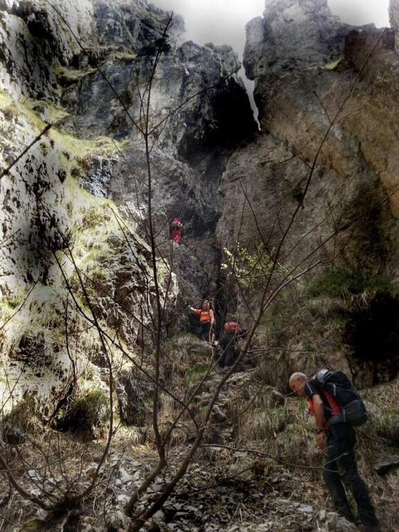
    From the Fò Pass; take destra (cartel) on steep and rocky path until the ' attack. You start with the first chain going up a placca, then turn left, you go back a couple of stretches and you do a short descent. The characteristic passage is reached between slender: under a grosso masso framed which goes beyond the right and goes up the «Buco della Carlotta» until you leave on a nod. It follows a second canal with some stretches a po' athletics (to climb it is necessary to try with patience to stick not immediately evident); then the path becomes più easy and exits from the fireplace. On the left, a sign indicates the Ferrata del Centenario; the trail continues on lawn and rocks in the Pian Serrada, where it ends (45' from' attack, 1h 45' from the cable car, 2h 15' overall).

    ▲Character and difficulty

    Itinerary easy, with some vertical but not difficult passages and contained exposure, developing in a canon. More equipped path that real ferrata.

    ⚠ Be careful not to move uphill stones: they could hit those who are below ( indispensable helmet). A passage in the canal is narrow and can give problems with bulky backpacks: useful a postponement/feed to hang the backpack to the harness.

    ▲Discipline

    From Pian Serrada go up to Sentiero 1 and take it downhill until the junction with Sentiero 5: right to the cable car station of Piani d'Erna (1h from the term, 2h 45' overall), or straight to Stoppani Refuge and parking (1h 45' from the term, 3h 30' overall).

    ▲To match

    It is often used as a descent/return to Passo Fò after the Ferrata del Centenario, or as a return from excursions to Resegone as the Ferrata Gamma 2 o la Ferrata Silvano de Franco.

    ▲Gallery
    Technical data
    • DifficultyEasy
    • RegionLombardy
    • ProvinceLecco
    • GroupResegone
    • Approach1h
    • Fully equipped45 min
    • Complete itinerary2h 45'
    • Level difference150 m
    • Route difference180 m
    • Maximum1475 m
    • Length6 km
  • Ferrata del Monte Amariana

    Ferrata del Monte Amariana

    Vie Ferrate › Friuli-Venezia Giulia › Udine
    Ferrata del Monte Amariana

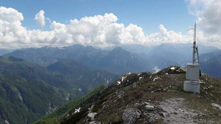
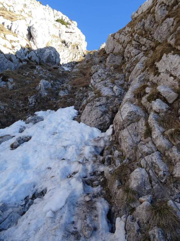
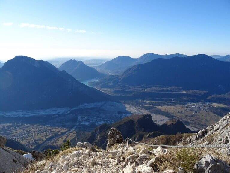
    Mount Amariana (in Friulian "La Mariane"), in the Carniche Prealps, rises at the confluence between Fella and Tagliamento and gives from the summit (1905 m) a 360-degree panorama, much higher than all nearby peaks. The ferrata on the south side is an easy and medium length itinerary (about 7 km between climb and descent) that goes up a canalone up to the saddle below the top.

    ▲Approach

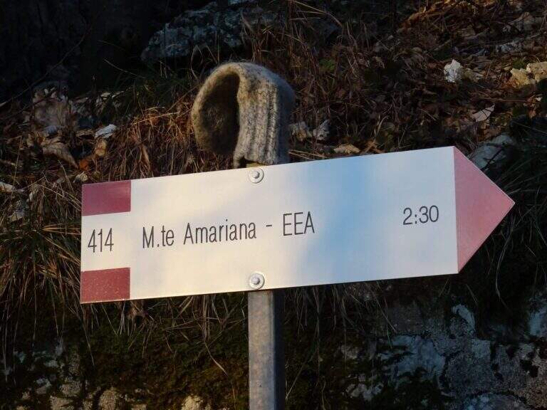
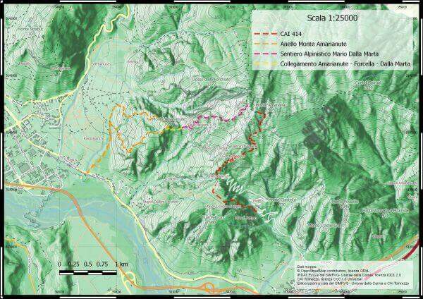
    Exit from the motorway exit of Amaro turn right towards the village; at l', turn left and cross it towards the slopes of the mountain. To the last houses continue along the military road to the Forca del Cristo (980 m). Open road signs on Google Maps. From the Forca del Cristo take the signpost CAI 414, pass by the cuel from the noglars and, out of the woods, you will see the view on Mount San Simeone and the valley. After about 2,6 km you reach the ' attack, about 1700 m; the path is well tracked and free of crossings (except one at the end of the ferrata), so it is practically impossible to miss the road.

    ▲The path

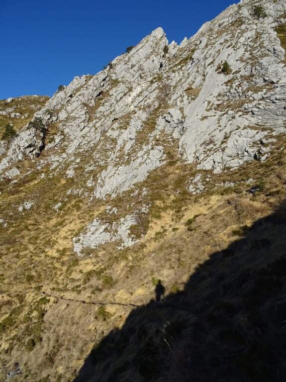
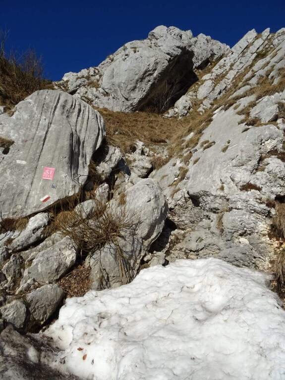
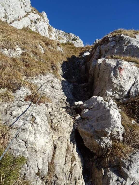
    From ' attack, reported by the CAI red folder (posted after the renovation of the structure in 2016), continues for about 500 m with practical cables grafted into the canalone d' ascent to the saddle under the top. The ferrata is easy; the canalone has quite unstable background, so the helmet is indispensable and should be paid attention not to move debris, which would slide towards the following. After the canal, the equipped sections continue on easy oblique ramps until their end; then you reach the peak (1905 m) in short, on path (2h 30' from ' start).

    ▲Character and difficulty

    Itinerary easy, in fact an equipped path: the ascent could be done even without the cables, but it remains recommended at least for those who have a minimum of experience.

    ⚠ However strongly recommended case: the falls of rocks moved by the weather or other hikers are not infrequent. For low altitude and exposure, address it in spring or autumn: in summer temperatures are very high.
    ▲Period and safety

    Spring and autumn are the best times. Case always worn for the risk of discharges in the tank.

    ▲Discipline

    The quickest option is the return to the uphill route, again to the Forca del Cristo (around 4h 45'). Alternatively, having two cars, you can descend on the north side with the other ferrata up to the Pradut saddle, with possible stop to the newly renovated Bivacco Cimenti-Floreanini (1067 m), continuing up to Illeggio (607 m); or descend the east ridge passing through the shelter Pian d'Aiars (1475 m) and the rec. M. Forcella (1098 m) until the "Ponte".

    ▲To match

    In Carnia: the recent Ferrata Farina del Diavolo in Villa Santina, la Ferrata Cassiopea al Torrione Comici e la Ferrata Cinquanta del Clap.

    ▲Gallery
    Technical data
    • DifficultyEasy
    • RegionFriuli-Venezia Giulia
    • GroupCarnic prealps
    • Approach1:15 h
    • Ferrata1:00 h
    • Itinerary (a/r)4:45 h
    • Hardware level difference300 m
    • Route difference870 m
    • Max1905 m
Need help? Write to us!