Caratteristica: Cascata

  • Sentiero Attrezzato delle Cascate di Idro

    Sentiero Attrezzato delle Cascate di Idro

    Vie Ferrate › Lombardy › Brescia
    Sentiero Attrezzato delle Cascate di Idro

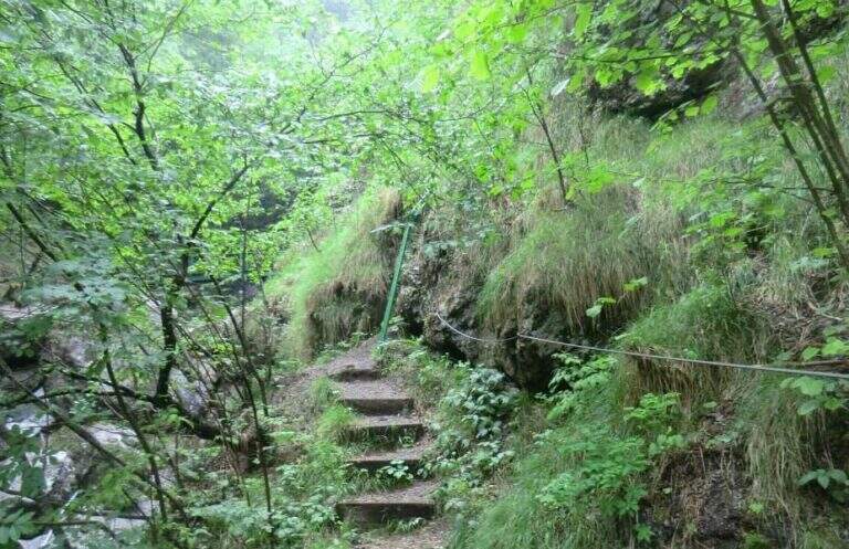
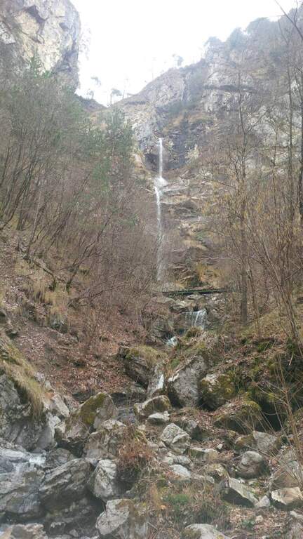
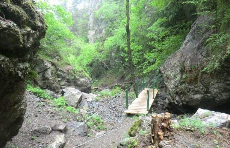
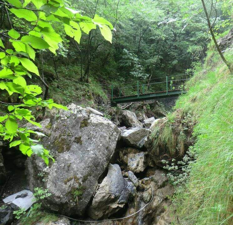
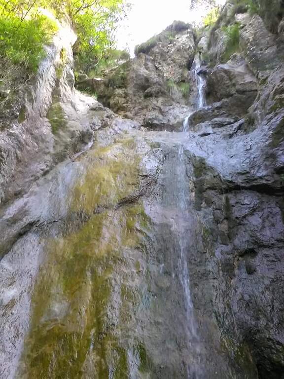
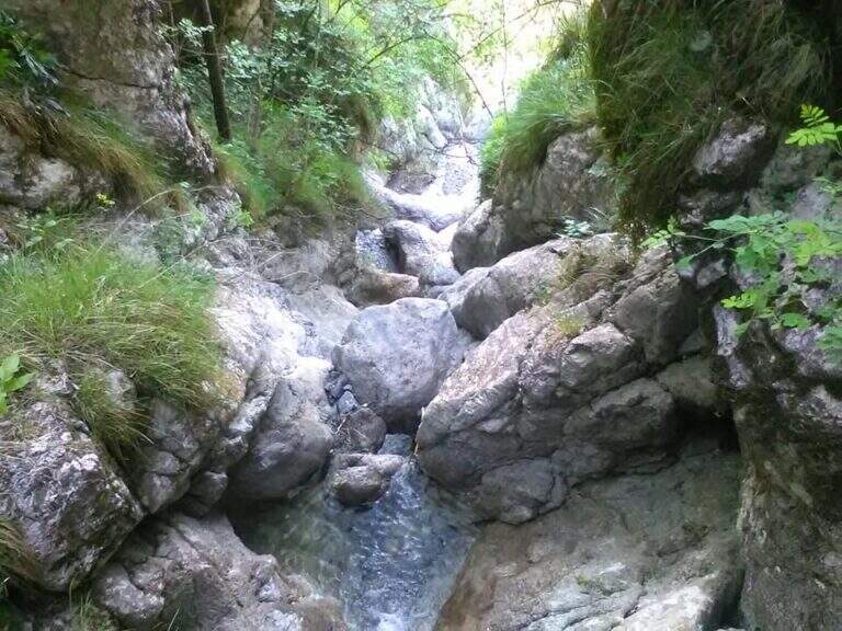
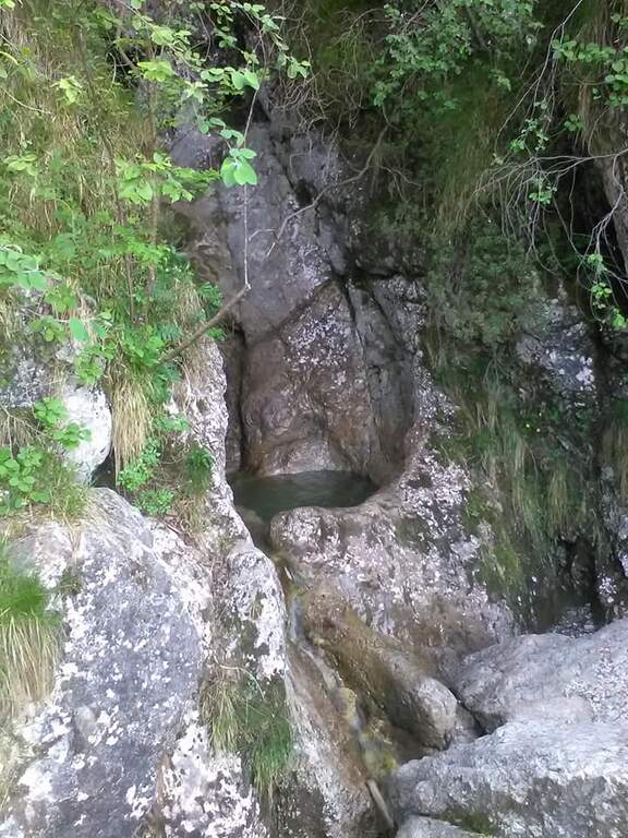
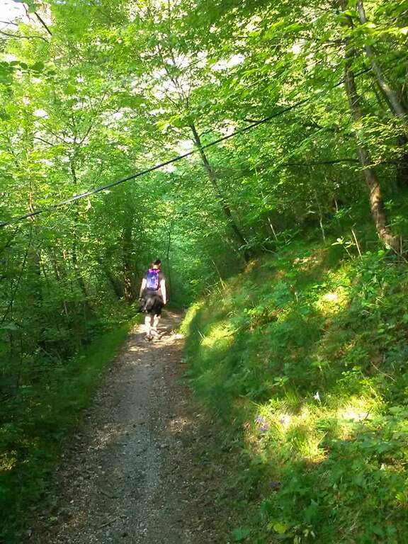
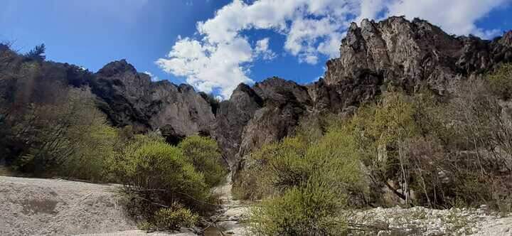
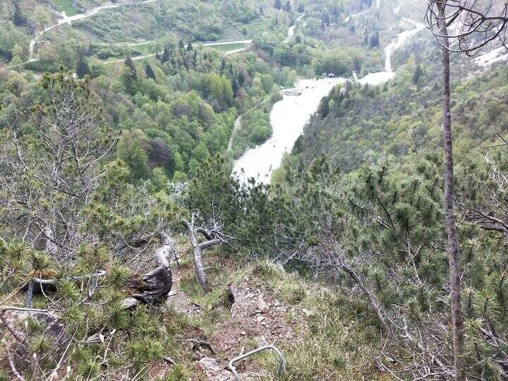
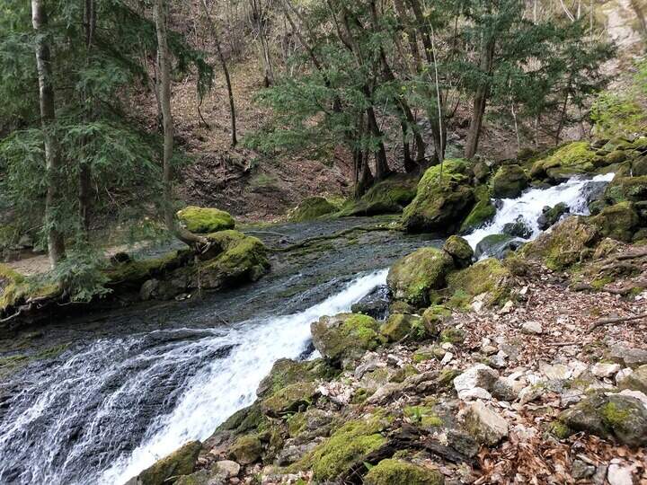
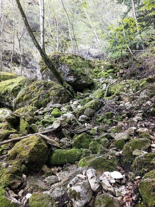
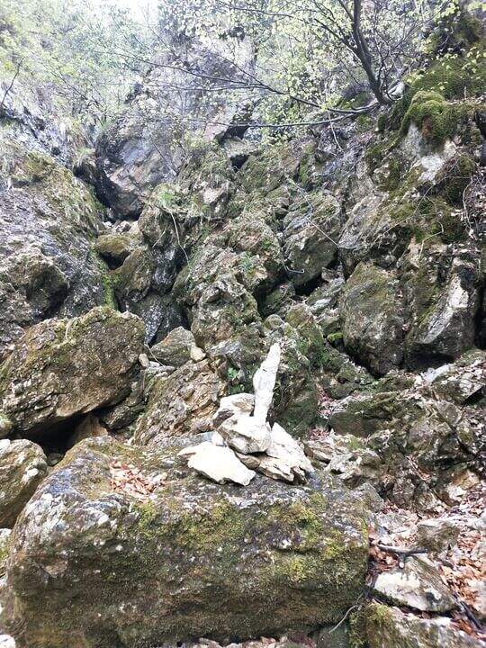
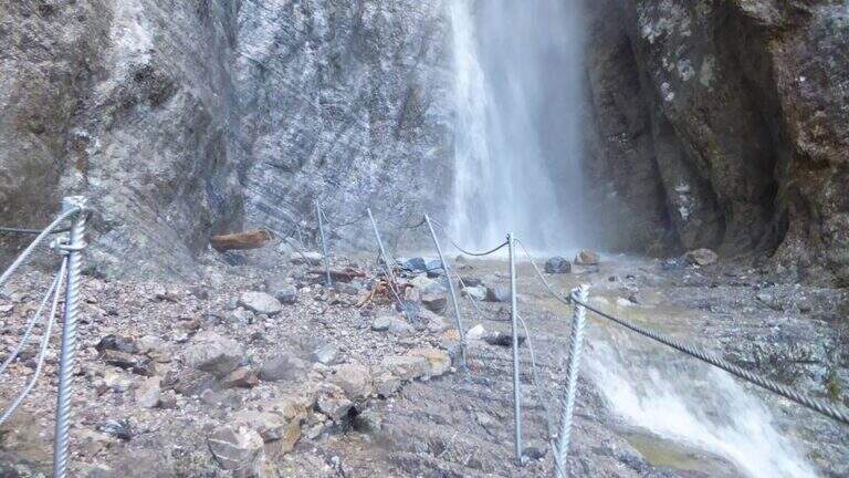
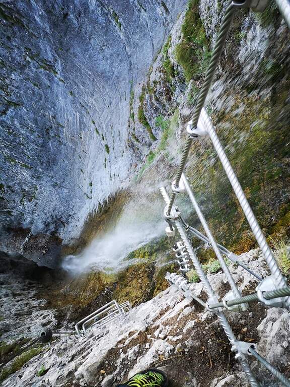
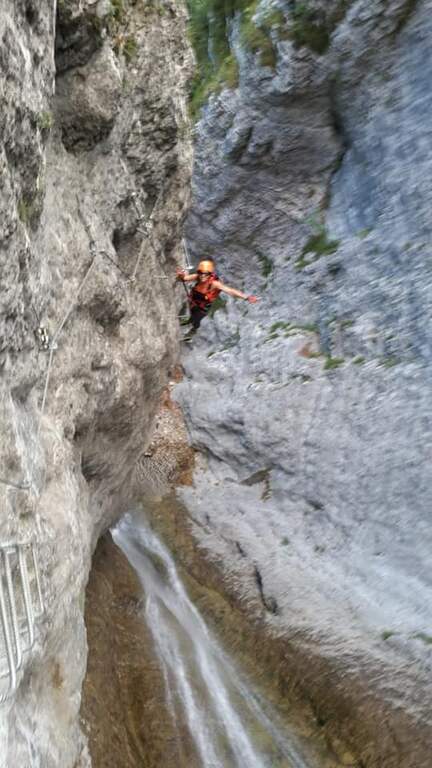
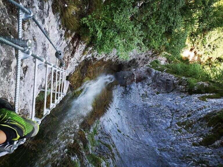
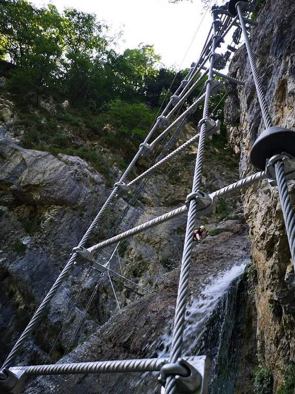
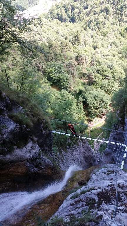
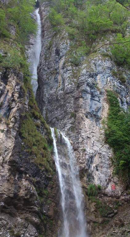
    Il Sentiero Attrezzato alle Cascate di Idro ` an easy itinerary, equipped in the exposed part inside the hole of the torrente Neco, on Lake d’Idro. Very beautiful from the landscape point of view, shows a suggestive throat with short approach, ideal for those with little experience.

    ▲Approach

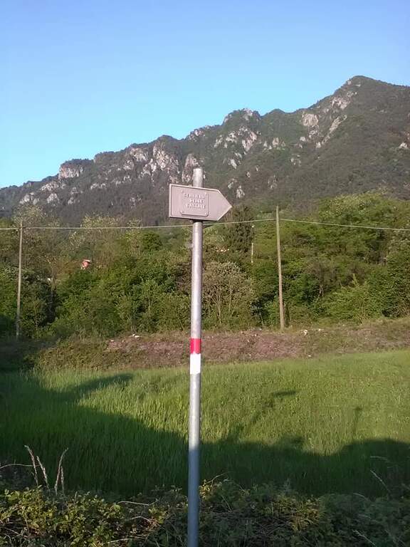
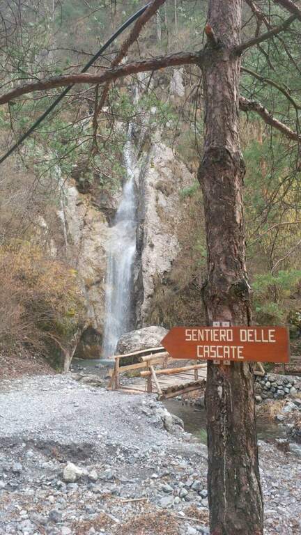
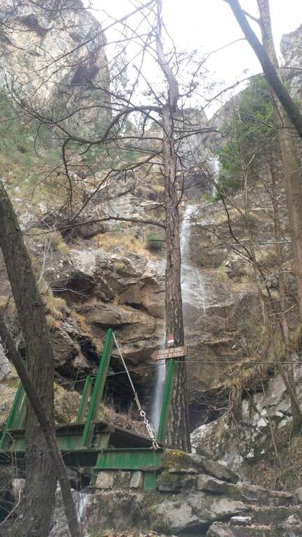
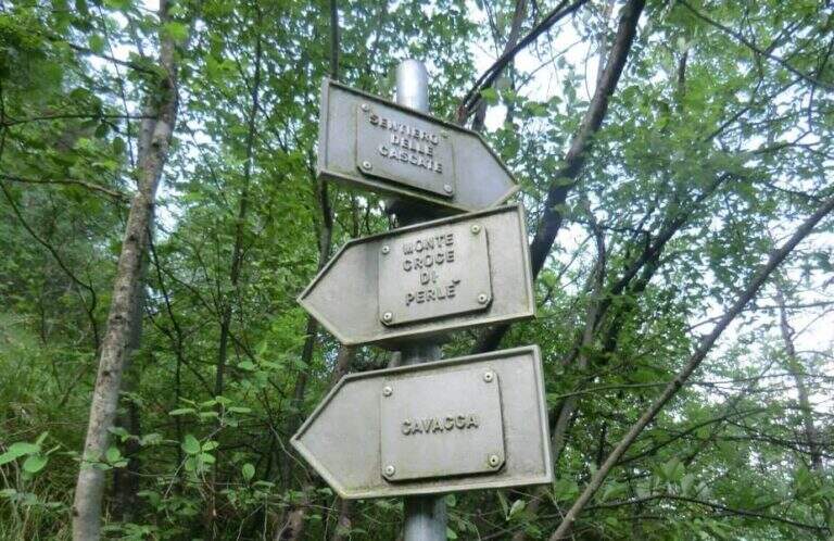
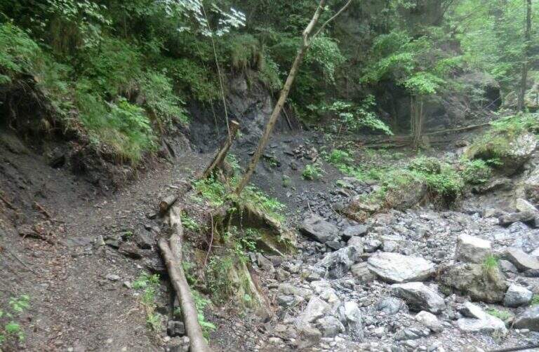
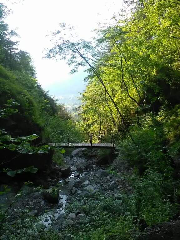
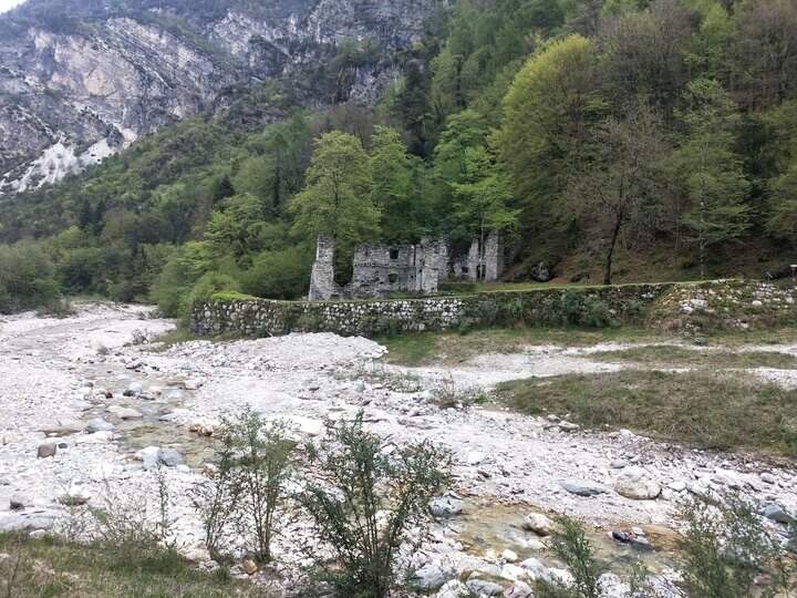
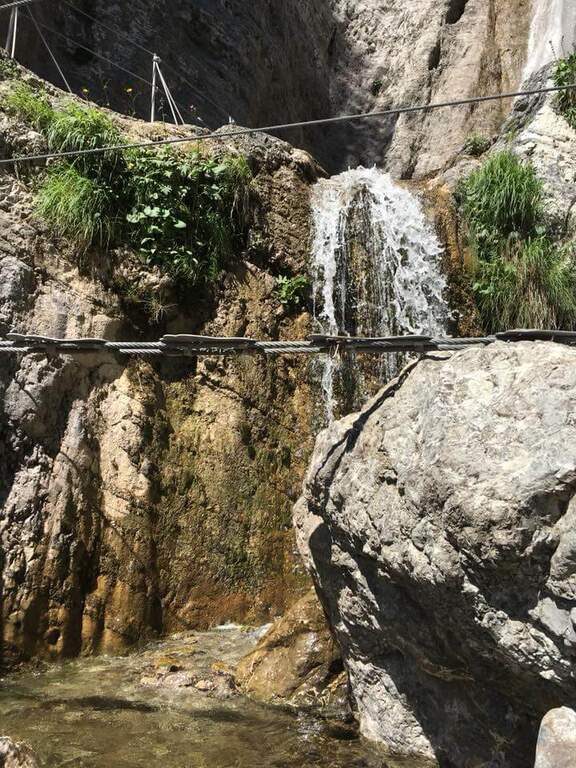
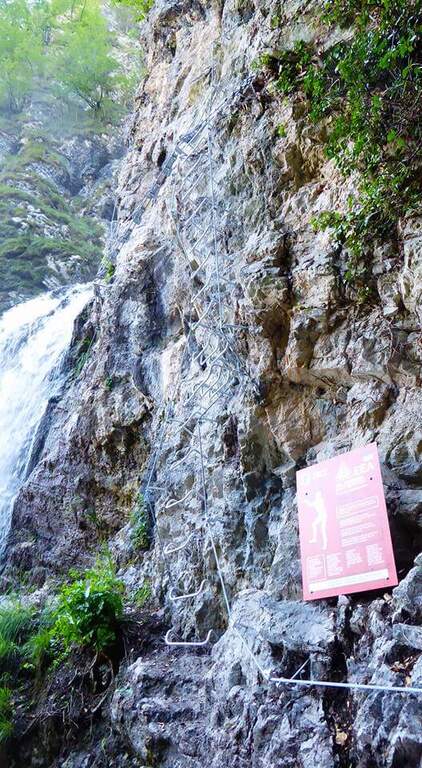
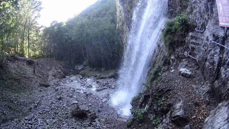
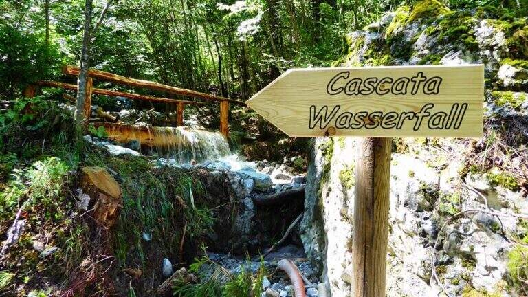
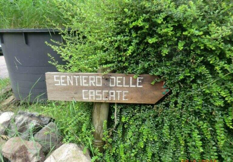
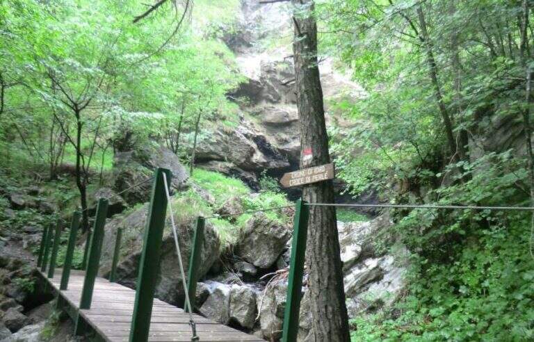
    Starting from Crone, on the eastern shore of Lake d’Idro: along the SP58 you can see on the right a road towards the Pizzeria Ristorante Bellavista, where you park (Via Coste), then take right the directions for the path. Open road signs on Google Maps. Follow the signs: straight the normal path, at destra il «Sentiero delle Cascate» (the two are reunited with più forward). You climb on the road between the meadows, then downhill to the bed of the Neco and its hole, at a wooden bridge and a first waterfall; you avoid the bridge and climb on the left side of the waterfall, entering the equipped path (15′ from the parking lot).

    ▲The path

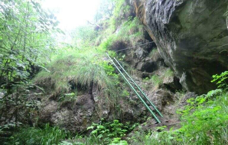
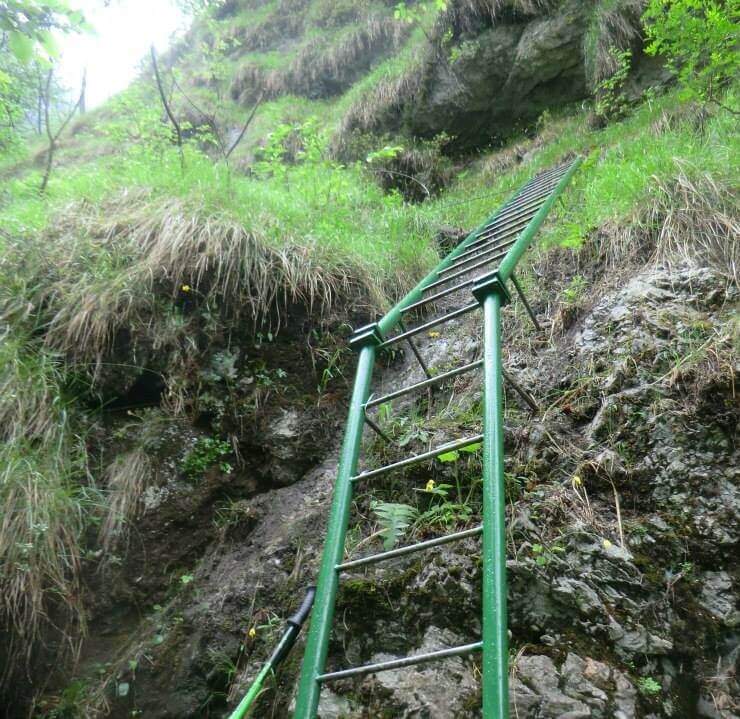
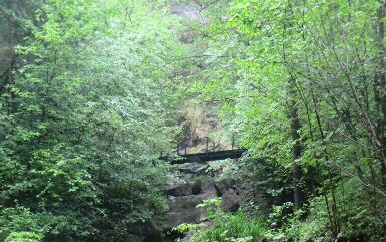
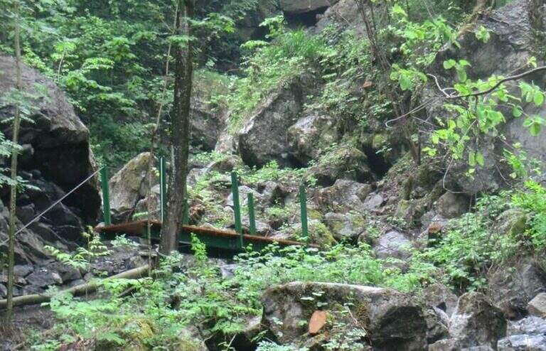
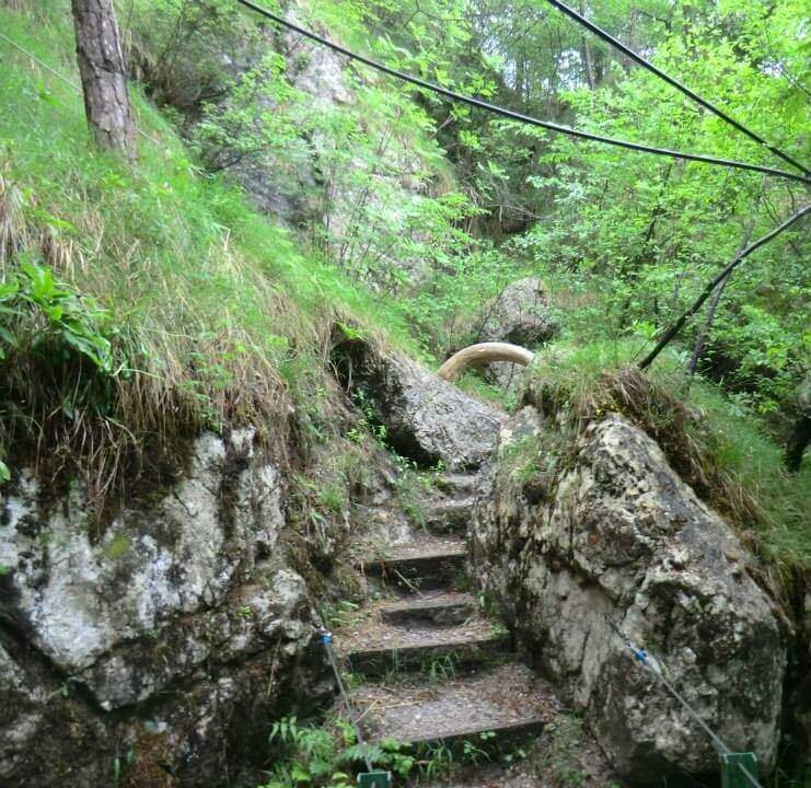
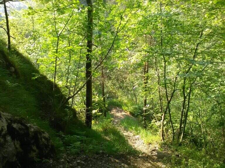
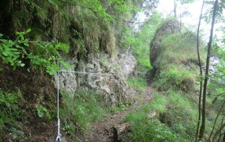
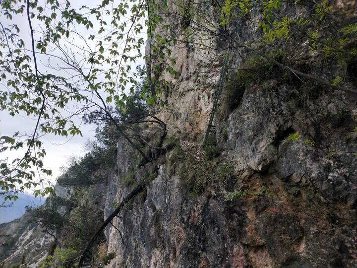
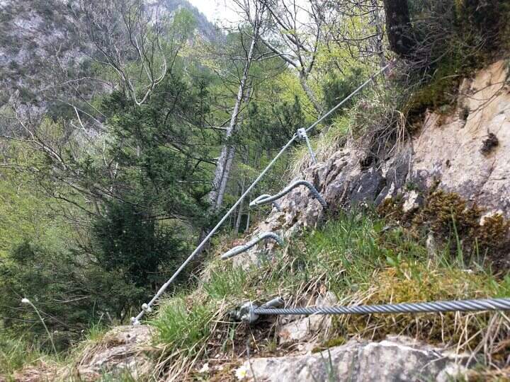
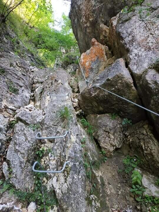
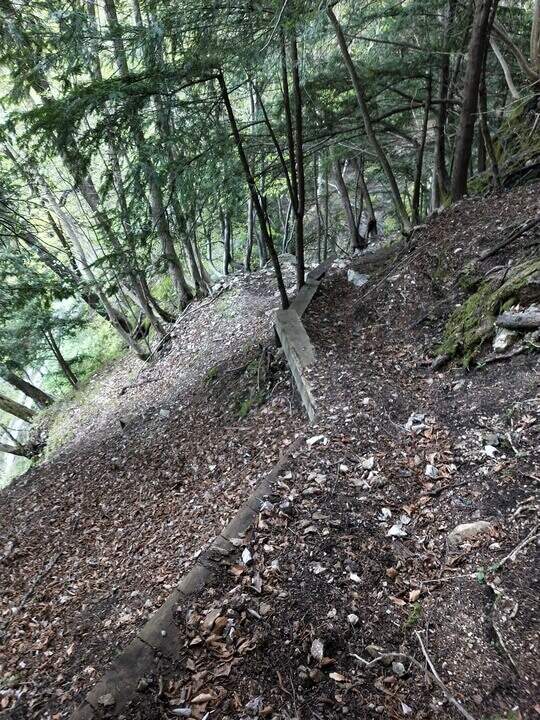
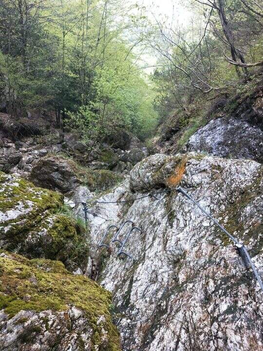
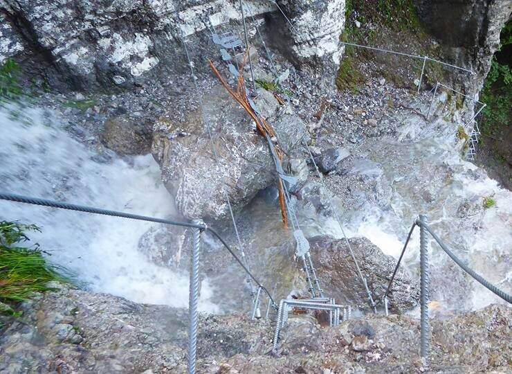
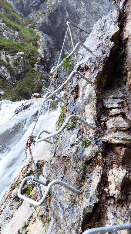
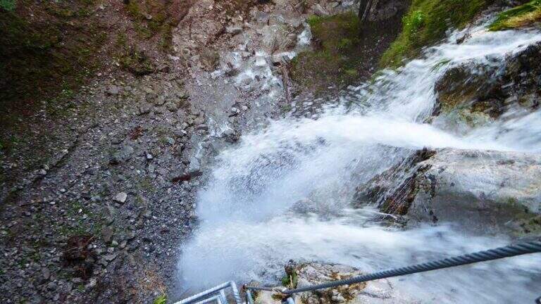
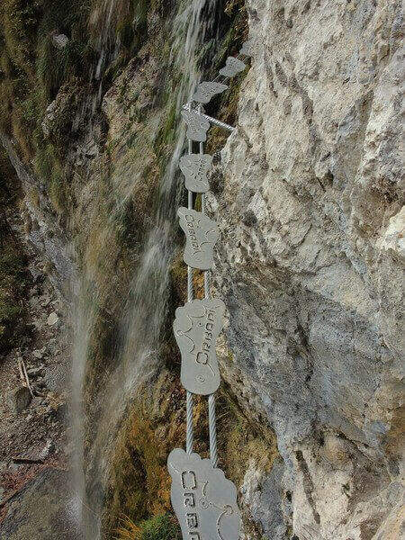
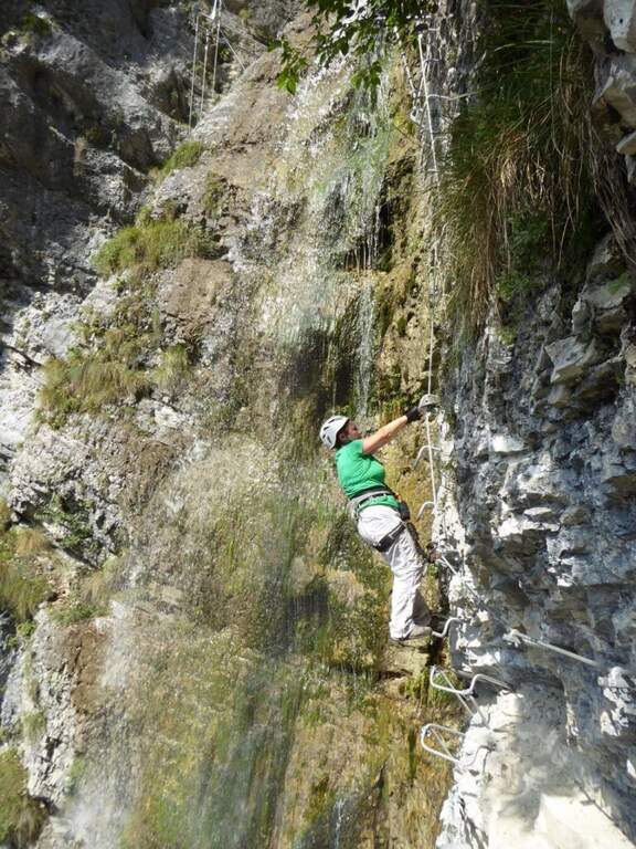
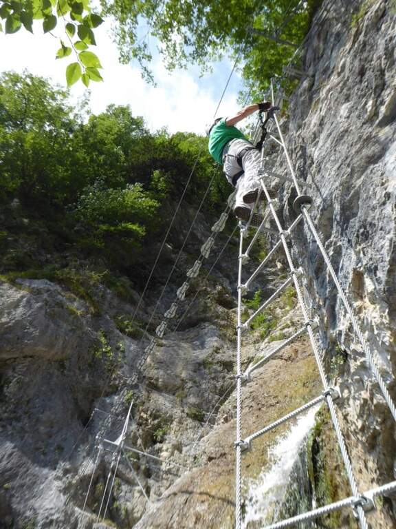
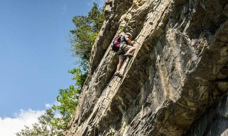
    There are two inclined rock walls equipped with two metal scales (the second più long of the first); on the top you go left on a engineered grassy and, bypassing a edge, ends the equipped part (10′ from’ attack, 25′ from parking). Continue on the path passing a bridge at a ’ another beautiful waterfall and then in the forest, until a crossroads with the normal path left at ’ start. From here you can rejoin; close the short hike turning left towards Crone (40′ overall) or keep the right towards the Croce of Perlè : with lake view, then in the Serè valley; and in a thick forest, at a crossroads turn left and follow a short stretch of ridge with easy rocks up to the peak cross (1h 30′ overall).

    ▲Character and difficulty

    Itinerary without any technical difficulties of importance, it is also advisable for those who have little or no experience provided in form and with firm foot; equipment in good condition. Traced ex novo in 1995-96 and restored in 2004.

    ⚠ It is better to travel in the half seasons, avoiding the summer heat and l’ winter, when the falls can iced. Recommended helmet for stairs in the hole.

    ▲Discipline

    It can be traced back, possibly along the equipped path (about 1h from the summit, 2h 30′ overall). Alternatively, from the ’ last intersection can be combined; close a long anello for the Cocca di Idro, Cima Crench and Punta Pelada, returning to Crone (about 4h 30′ overall).

    ▲To match

    Concatenate well with the Ferrata Crench (saving Cima Crench and Cocca d'Idro) and, always on Lake Idro, with easy Ferrata delle Ginestre e la Ferrata del Fregio.
    ▲Gallery
    Technical data
    • DifficultyEasy
    • RegionLombardy
    • ProvinceBrescia
    • GroupLake Idro
    • Approach15 min
    • Fully equipped10 min
    • Complete itinerary2h 30′
    • Level difference200 m
    • Route difference220 m
    • Maximum620 m
    • Length3,5 km
  • Ferrata di Valimpach

    Ferrata di Valimpach

    Vie Ferrate › Trentino-Alto Adige › Trento
    Ferrata di Valimpach
    Moderately Hard● OpenDescriptionComplexityMapsGallery

    Il Valimpach equipped trail over Caldonazzo in Valsugana (Trento). It is not very tiring, but it requires attention to the exposure of some sections, some more challenging points and a thick wet and mossed rock for much of the route.

    ▲Approach

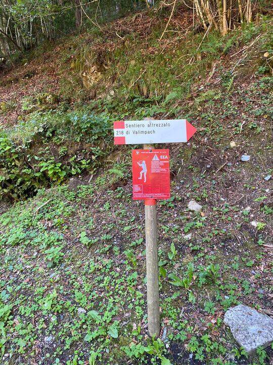
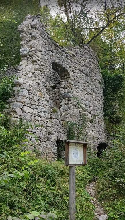
    Joints Caldon take the SP108, you pass the restaurant Speckstube on the left and you reach the park n. 3, just under the hamlet of Valle in the direction of Centa San Nicolò, always on the left. Open road signs on Google Maps. Who wants può starting from parking spaces n. 1 or n. 2 (always on the SP108) to stretch the route and admire landscape and waterfalls on the Centa. From the parking lot you go down the road or for the dirt a po' steep that flanks it, on the path that runs along the river Centa towards the south, up to a bridge that crosses it, to the side of which you see the ruins of the ' ex mill Polentoni. Immediately behind the equipped trail sign marks l' start of the steep short bend path, at times exposed, which leads to all' attack of the ferrata (about 20-30' from the parking lot).

    ▲The path

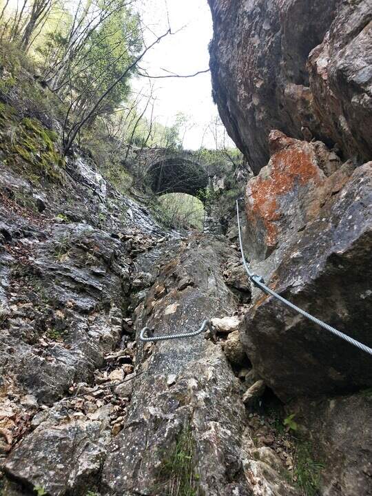
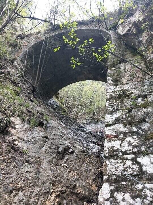
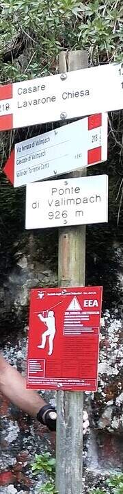
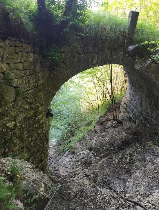
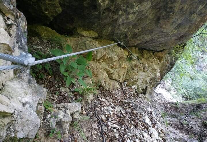
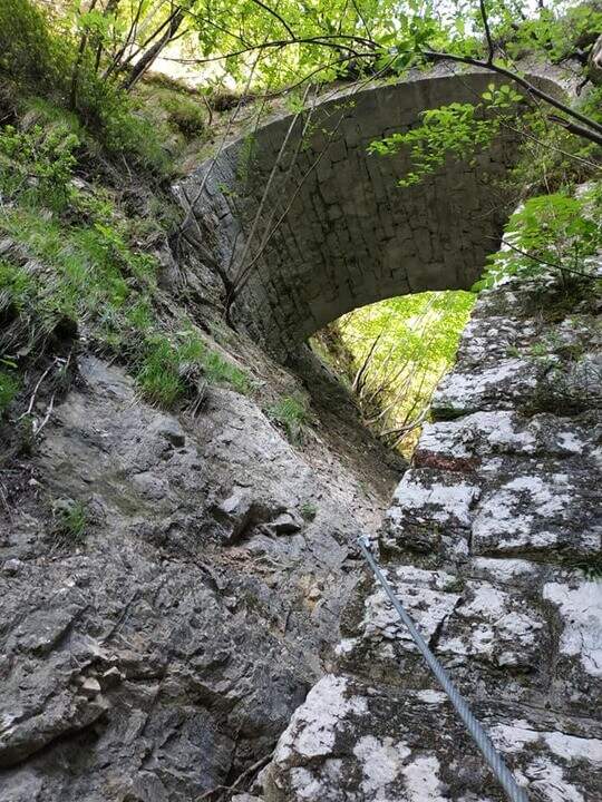
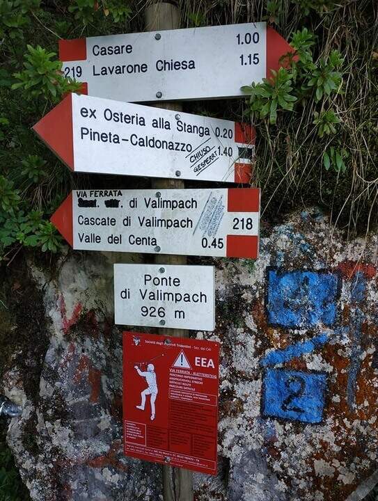
    The first section è the più exposed: a scaletta followed by the cable under a census, from which is seen on the ' other side of the village of Centa San Nicolò. Continue on several rocky cliffs with metal cambres, surrounded by mug pines; as you climb you start to see the cascade of Valimpach and the valley below. After passing these easy leaps, a stretch in the forest without difficulty and agrave;, in a slight descent, runs along the waterfalls to their springs. Continue in the valley following the track on the boulders and enters the gola rocky, where from time to time cables and cambre facilitate progression: è a humid environment, with thick slippery rocks and mosss, where pay attention also all' possible fall of stones from the side walls. Following the tracks you will arrive below the ponte of Valimpach (926 m); cross it from below turn right and in a few meters you will reach the ex «Strada della Val Caréta» (former 219), where the ferrata ends (about 1h 15' from' start of the equipment, 1h 45' from the parking lot).

    ▲Character and difficulty

    Itinerary varied but of limited commitment, with a first exposed section and passages on equipped balconies. The quality of the rock is not always excellent and the humidity of the nearby waterfall requires caution.

    ⚠ In the final stretches, just before the bridge, some metal equipment turns out a little soft: attention especially for the neophytes. Infident rocks for moss and humidity; possible fall stones in the throat.

    ▲Discipline

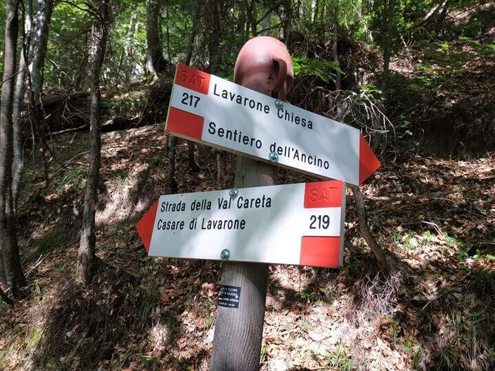
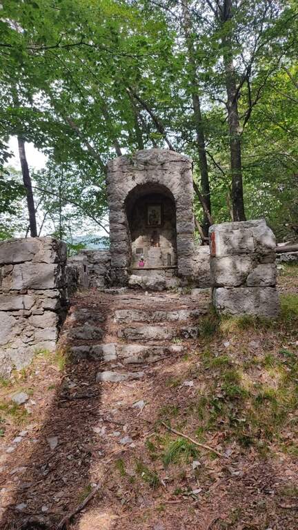
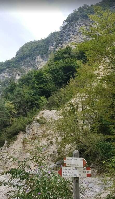
    From the bridge we continue on the ' ancient road towards the Church of Lavarone; after about 15 minutes, at the junction with the Sentiero del Lanzino ( itinerary 217), we descend into the Valley of the Centa. You pass the votive capital of Sant' Antonio and you get to some ruins surrounded by a screech; carefully you get the stream and you reach the valley bottom path that, along the Centa on the left, brings back to the starting parking lot (about 3h total).

    ▲To match

    The nearest equipped route is the Sentiero Attrezzato Church in Val Scura. Towards the Val d'Astico is the Ferrata degli Aguane; in Val d'Adige the Sentiero Attrezzato Bertotti e il Sentiero Attrezzato de le Stel. Not far from Trento, the commitment Ferrata Segata bondone.

    ▲Gallery
    Technical data
    • DifficultyModerately Hard
    • RegionTrentino-Alto Adige
    • ProvinceTrento
    • GroupValsugana
    • Approach25 min
    • Ferrata1h 15'
    • Complete itinerary (a/r)3h
    • Hardware level difference350 m
    • Route difference415 m
    • Maximum1003 m
    • Length5 km
  • Ferrata Signora delle Acque

    Ferrata Signora delle Acque

    Vie Ferrate › Trentino Alto Adige › Trento
    Ferrata Signora delle Acque

    La Ferrata Signora delle Acque accompagna fino a un tratto panoramico della spettacolare Cascata del Rio Ruzza, sopra Ballino. Inaugurata nel 2019, alterna una prima sezione facile a una seconda decisamente piu impegnativa, dove il cavo distante obbliga ad arrampicare. Due ponti sospesi e l’ambiente bagnato dalla cascata ne fanno un itinerario suggestivo ma da non sottovalutare.

    ▲Approach

    Si parte da Ballino, frazione di Fiave, nelle Valli Giudicarie. Arrivando dal Lago di Garda si gira a sinistra nella piccola piazza del paese e si tiene la sinistra su via Ballino, dove poco dopo si trova un parcheggio. A piedi si segue la strada asfaltata verso ovest-sudovest, sul sentiero CAI 420 in direzione delle cascate del Rio Ruzza; finito l’asfalto, a un bivio si resta sul CAI 420 girando a destra verso nord fino al Rio Ruzza, dove la segnaletica conduce al cartello rosso di inizio della ferrata (circa 30 minuti dal parcheggio). Apri il punto di partenza su Google Maps.

    ▲The path

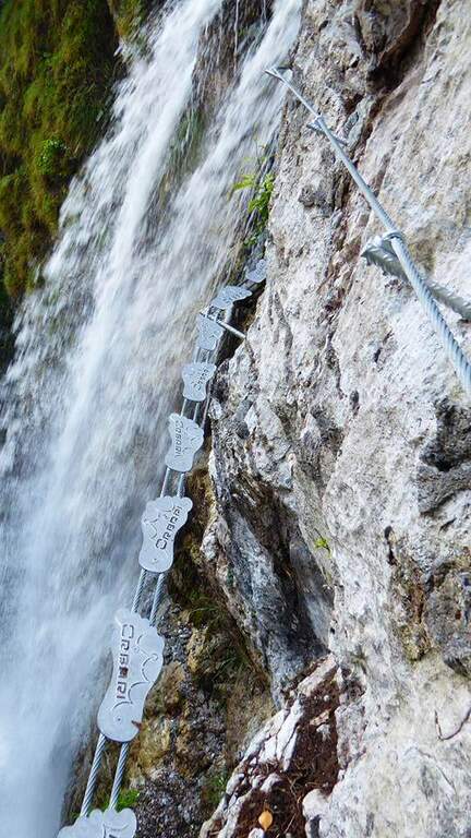
    La prima parete verticale e assistita da numerose, forse fin troppo abbondanti, cambre metalliche di nuova posa. Segue un traverso a sinistra su due funi metalliche con pedane per i piedi, poi il cavo riparte verticale per alcuni metri fino a un ponte sospeso ben attrezzato, con due funi per i piedi munite di pedane e due funi per le mani, che permette di attraversare il torrente tra due salti della cascata. Seguendo le attrezzature si arriva sotto un anfiteatro roccioso dominato dalla cascata principale: qui si chiude la prima parte (circa 15 minuti dall’attacco). Inizia la seconda sezione, piu verticale e impegnativa: il cavo corre spesso molto a destra, costringendo a cercare gli appigli sulla roccia, sempre presenti, e alcuni passaggi sono in strapiombo, con esposizione marcata. Dopo una paretina attrezzata prima con cambre e poi con una scala a pioli si raggiunge un secondo ponte tibetano, particolare perche compie un angolo retto sopra il salto d’acqua. Si superano alcune roccette e una parete con passaggi diagonali e poi verticali fino a un altro ponte sospeso; un’ultima parete verticale, povera di appigli artificiali e da affrontare arrampicando, precede gli ultimi metri su fondo terroso dove la via termina (circa 45 minuti dall’inizio della ferrata, 1 ora e 15 dal parcheggio alla fine delle attrezzature).

    ▲Carattere e difficolta

    L’ambiente, con la cascata che scroscia a fianco, e splendido e l’attrezzatura e nuova e in ottimo stato. Proprio per l’avvicinamento rapido e la bellezza del luogo la ferrata e molto frequentata e le sue reali difficolta spesso sottostimate: non e una via estrema, ma e decisamente esposta e alcuni tratti richiedono tecnica e forza.

    ⚠ Attenzione al secondo ponte sospeso: la fune di sicurezza e piuttosto alta e distante dai piedi. Le persone non molto alte dovranno usare una prolunga o agganciare i moschettoni alle funi laterali. Affrontate la via con un minimo di esperienza e in buona forma.
    ▲Discipline

    Si segue verso destra il sentiero che porta alla base della cascata e quindi, a ritroso, l’itinerario di avvicinamento fino al parcheggio di Ballino (circa 30 minuti dal termine, 1 ora e 45 sull’intero giro).

    ▲To match

    La zona dell’Alto Garda offre moltissime vie attrezzate. Tra le piu facili: il Sentiero Attrezzato delle Cavre, la Ferrata Colodri e la Ferrata Rio Sallagoni; di media difficolta la Ferrata Artpinistica e la Ferrata Che Guevara; per salire decisamente di grado la Ferrata Pisetta o la Ferrata Segata al Bondone.

    ▲Gallery
    Technical data
    • DifficoltaHard
    • RegionTrentino Alto Adige
    • GroupPrealps Gardesane
    • Approach0:30 h
    • Ferrata0:45 h
    • Itinerary (a/r)1:45 h
    • Hardware level difference140 m
    • Route difference390 m
    • Max1062 m
    • Length5 Km
Need help? Write to us!