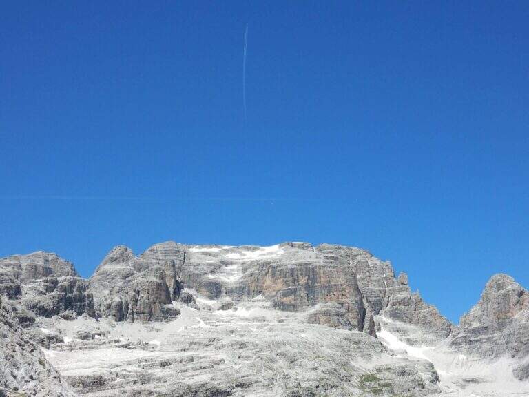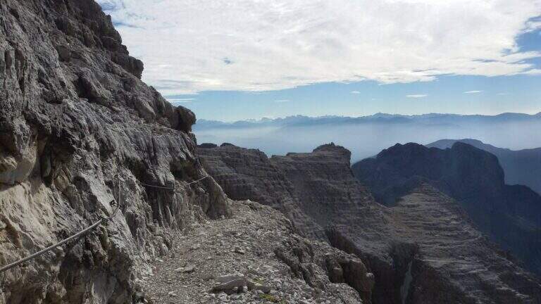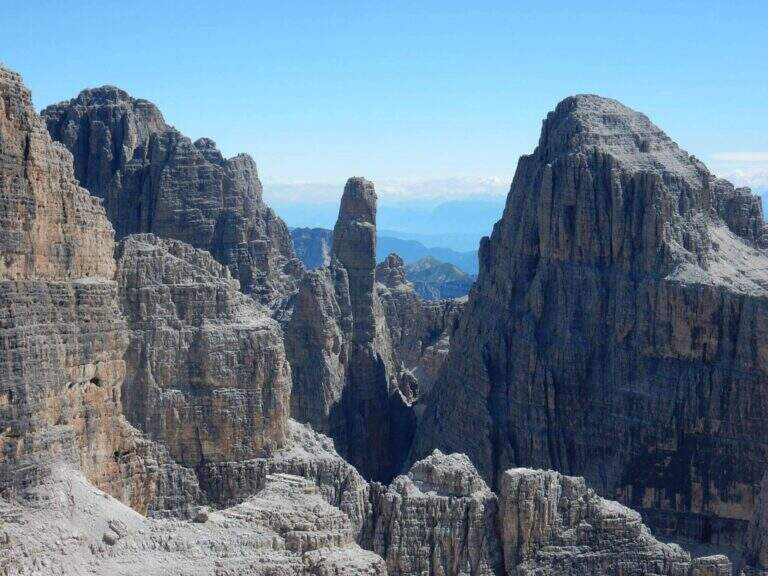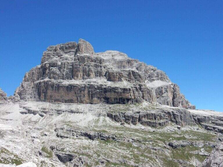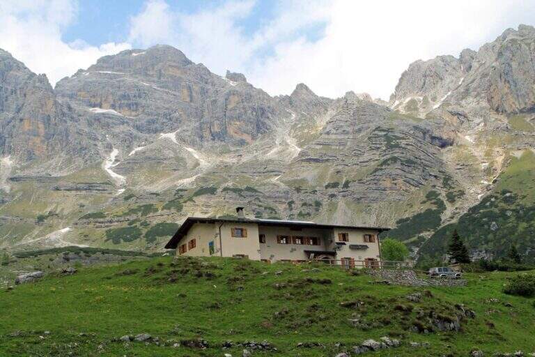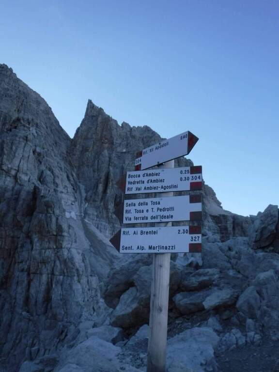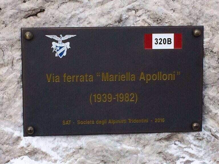
Il Sentiero Attrezzato Apolloni is the most recent equipped path of the Brenta Dolomites and connects the Agostini Refuge to the Pedrotti Refuge passing through the Forcoletta Pass. It runs more at the altitude of the parallel Sentiero Palmieri and is equipped in the most exposed points, without particular technical difficulties.
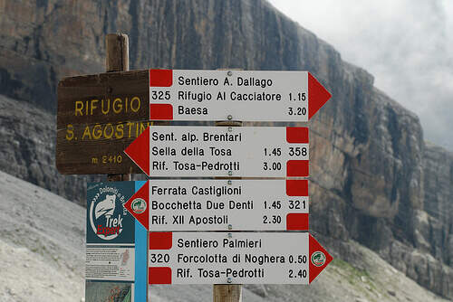
The report starts from the Ristor Dolomiti (768 m) above Dorsino: in the village center a road marked with the brown « sign; Val d'Ambiez» narrow and asphalted rooms to the restaurant, where you park. Open road signs on Google Maps. You climb to the CAI 325 (first dirt, then trail) until the Rifugio al Cacciatore (1820 m, 2h 15'), then on the CAI 325 (Sentiero Dallago) until the Rifugio Agostini (2410 m, 3h 30' from the parking lot). L' approaching è long and with strong difference in altitude (about 1700 m). Alternatively, along the route on the contrary, you can go from Molveno to the Pradel cable car.
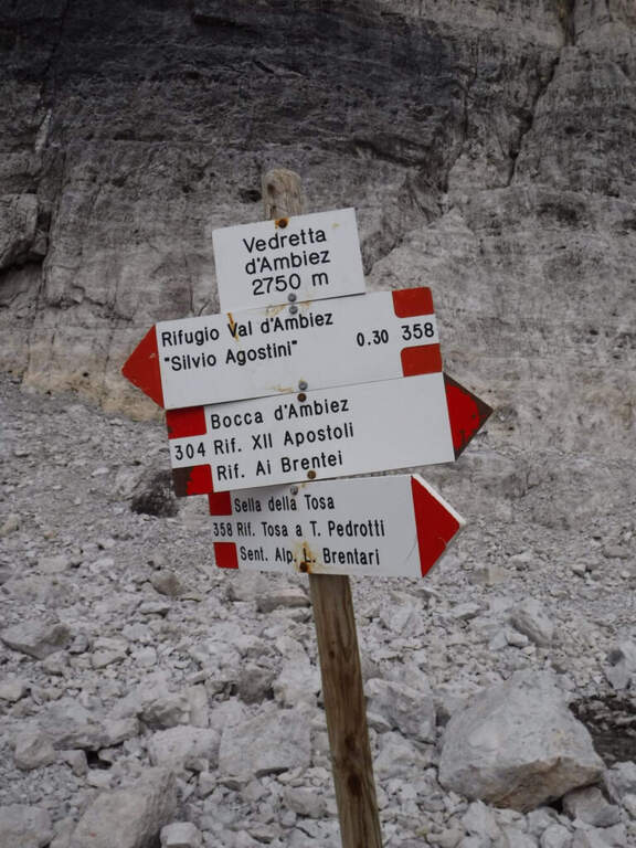
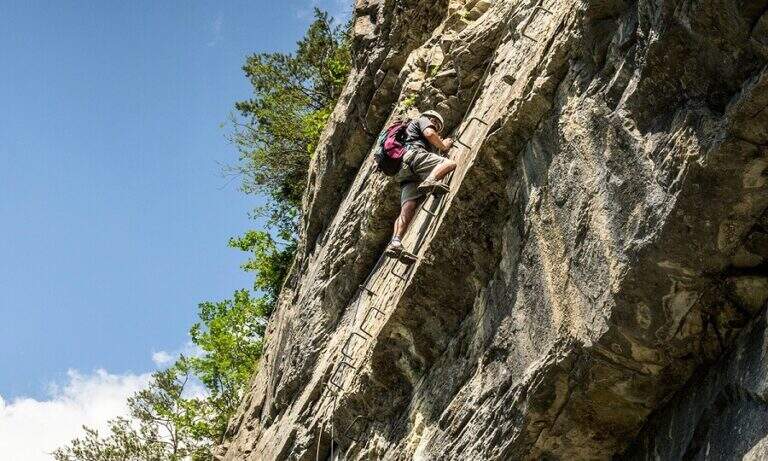
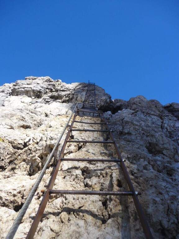
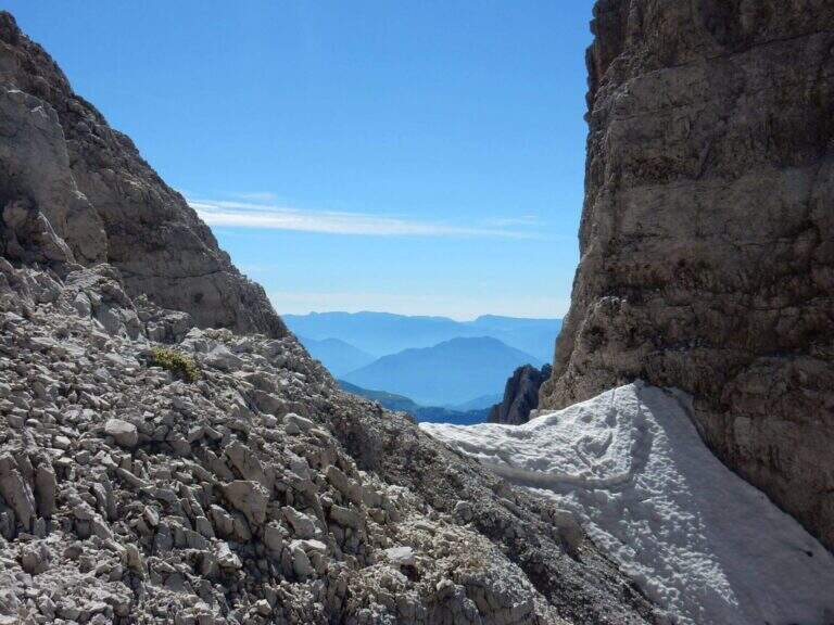
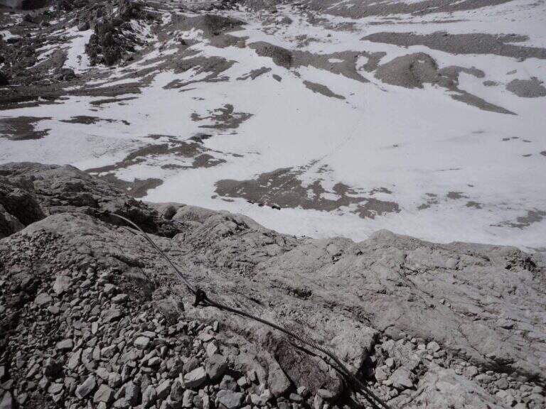
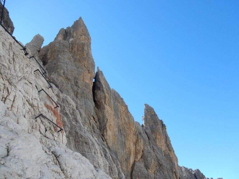
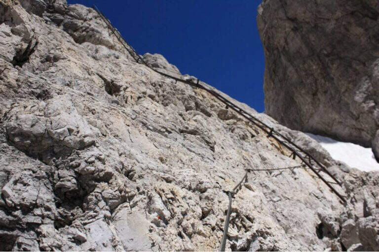
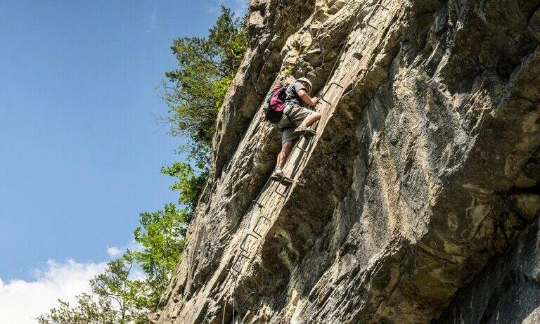
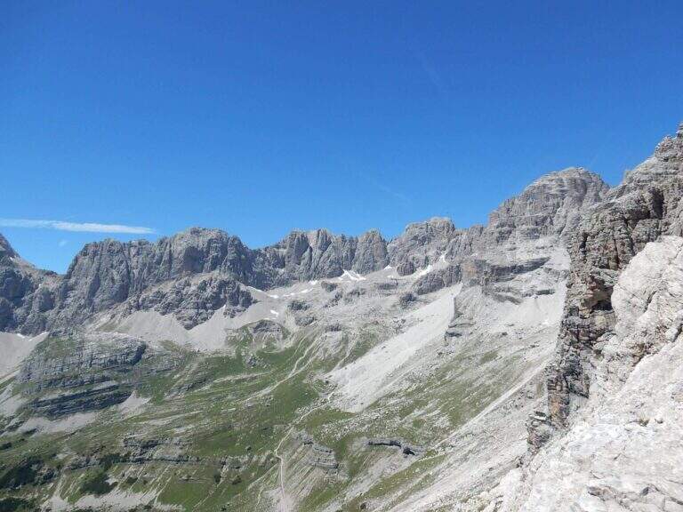
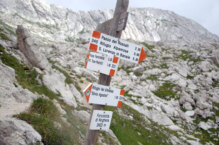
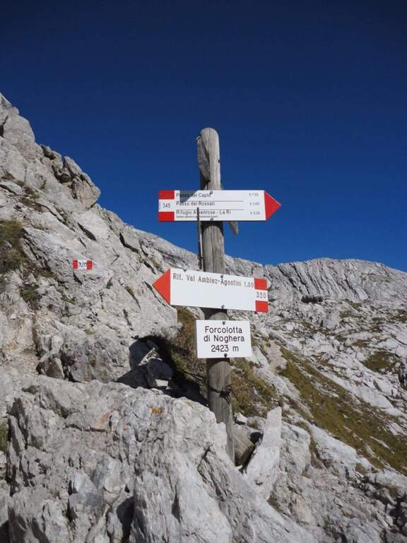
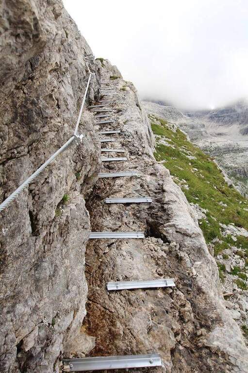
Dal Rifugio Agostini si procede verso est, verso le pareti occidentali di Cima Ceda, seguendo il CAI 320 (Sentiero Palmieri); in leggera salita a mezzacosta si raggiunge il Passo di Forcolotta di Noghera (2423 m). Si prosegue su tratti più esposti verso est tenendo la sinistra (ignorando il bivio per il CAI 345 verso Passo Caplo), fino a passare nella valle della Pozza Tramontana, in un imponente anfiteatro tra Cima Ceda, Cima Brenta e Monte Daino. In discesa verso nord si raggiunge il bivio tra il Sentiero Palmieri (più basso) e il Sentiero Attrezzato Apolloni (CAI 320B), composto da due tratti attrezzati: il primo è una serie di cenge esposte con gradini metallici assicurati; il secondo, più vicino a Cima Brenta Bassa, è un intaglio nella roccia da risalire con alcune staffe. Nessuno dei due presenta difficoltà tecniche rilevanti. Completato il sentiero, presso Cima Brenta Bassa, in pochi minuti si scende al Rifugio Pedrotti (2491 m, 2h 30' dal Rifugio Agostini, 6h complessive).
The two equipped sections are easy and protect the most exposed points; the equipment is new and in good condition. The real difficulty lies in the long approach and in the strong overall difference.
The simplest option is to go back: from the Passo Forcoletta you descend to the Rifugio al Cacciatore (2h 15' from the Rifugio Pedrotti) and from here to the Ristoro Dolomiti for the CAI 325 (9h 30' overall). Alternatively, more challenging, you can return to the Ferrata Brentari towards the Rifugio Agostini passing through the Vedretta d'Ambiez (recommended the overnight stay at altitude).
It is a connecting path between two refuges from which there are numerous excursions of the Brenta: from the Rifugio Pedrotti you can reach the itineraries of Bocchette Alte e Central.
- DifficultyEasy
- RegionTrentino-Alto Adige
- ProvinceTrento
- GroupDolomiti di Brenta
- Approach3h 30'
- Equipment2h 30'
- Complete itinerary9h 30'
- Level difference100 m
- Route difference1623 m
- Maximum2491 m
- Length3,2 km