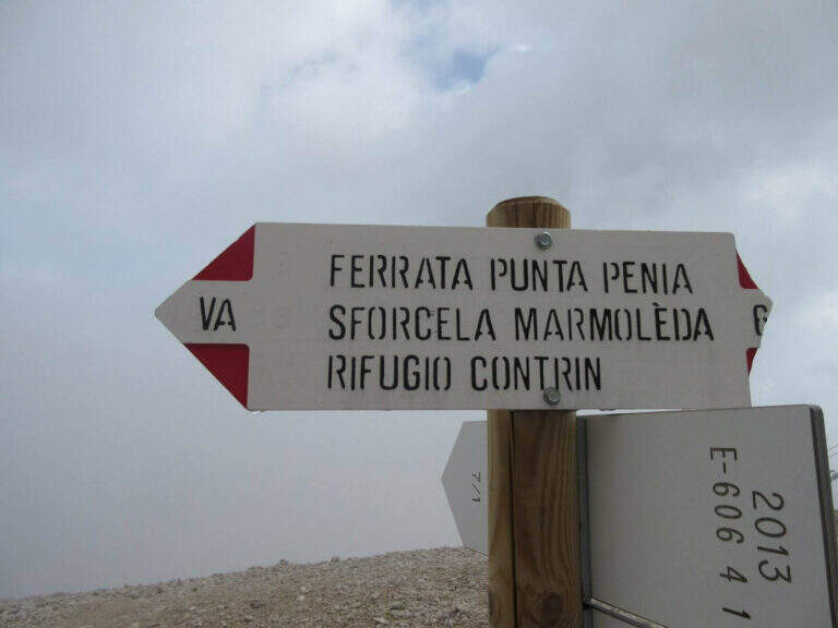
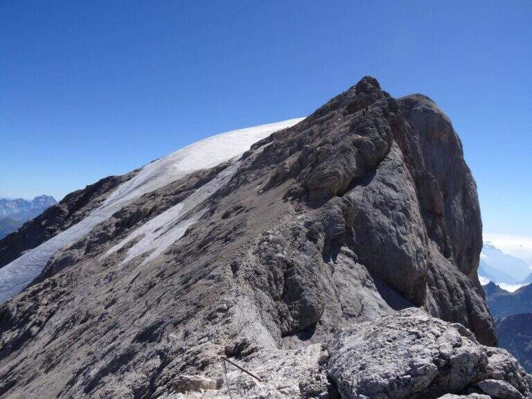
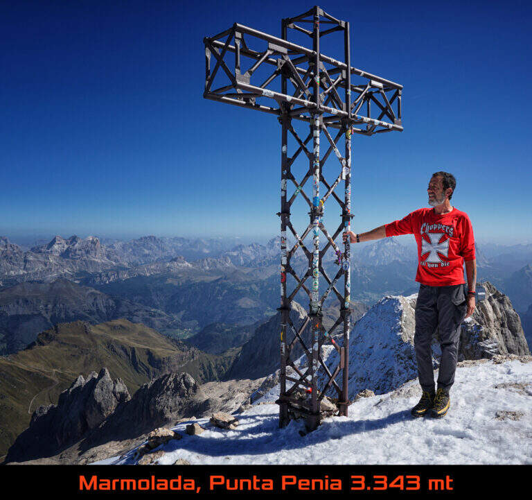
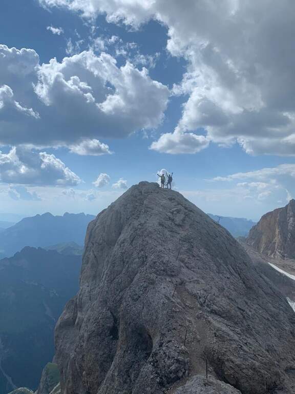
The Ferrata di Punta Penia climbs up the western ridge of Marmolada to the highest point of the group (3343 m). It is a historical route that during the ascent does not present particular technical difficulties, but develops in a wild high mountain environment; the return takes place for the Marmolada glacier. An itinerary to be carefully planned for length, altitude difference and glacial conditions.
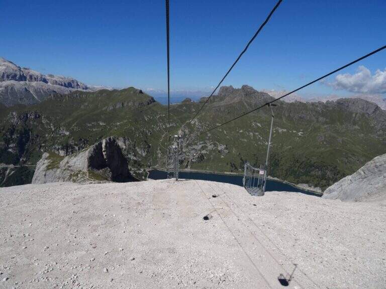
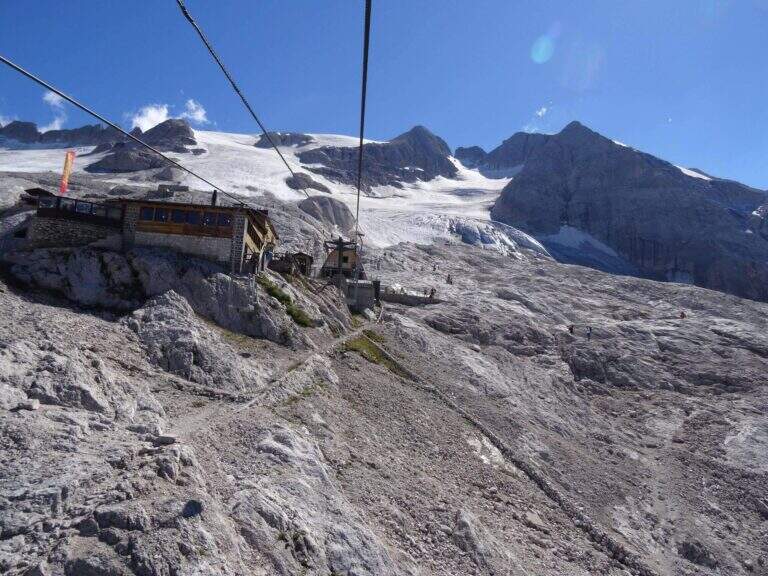
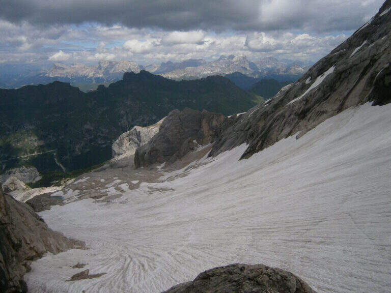
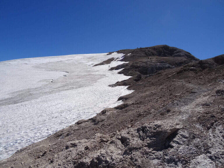
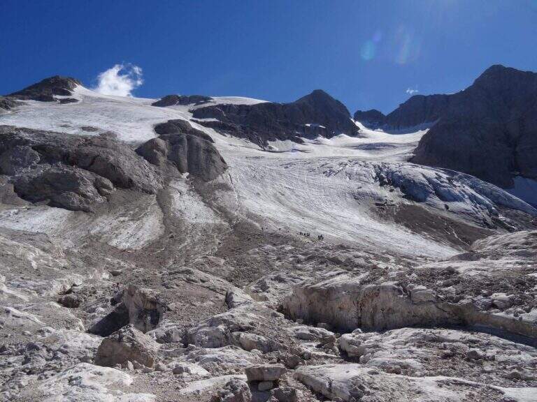
The starting point is Passo Fedaia, reachable from Canazei (Trento) or from Malga Ciapela (Belluno); park in the square at the plants for Pian dei Fiacconi. Starting point on Google Maps. From the dam (2070 m) it once climbed into the cable car to Pian dei Fiacconi (2722 m); the plant is now closed, following an avalanche that destroyed the shelter, therefore it climbs on foot in about 1h 30' for the CAI 606 path. From Pian dei Fiacconi we continue west on CAI 606, on a glacial valley, bypassing the northern spallon of Punta Penia; we lose altitude up to 2470 m and then steeply go up the detritic valley towards Forcella Marmolada. Entering the Vernel glacier you should keep the central part (and not the left side); you can reach the right edge of the glacier until the first ropes, at a red sign (1h 45' from the mountain station).
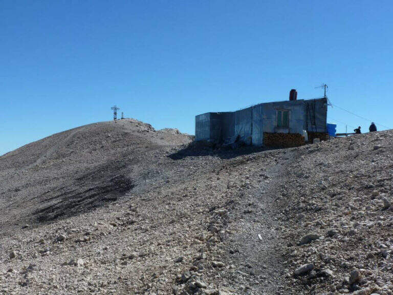
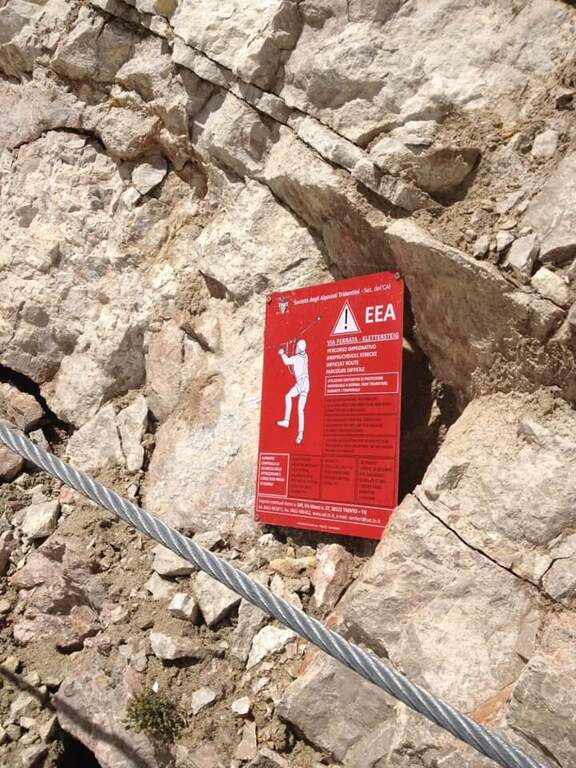
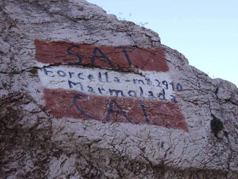
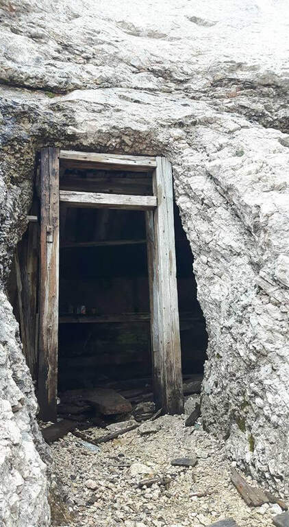
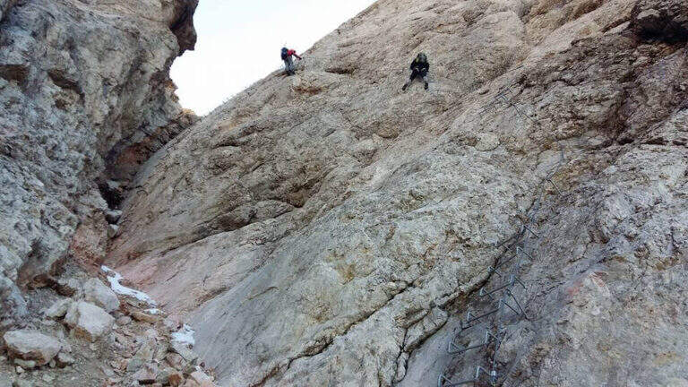
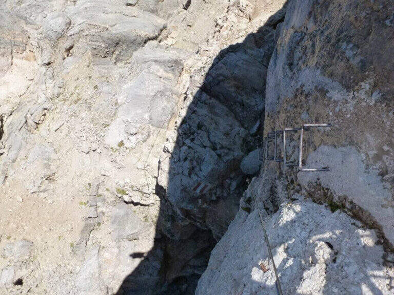
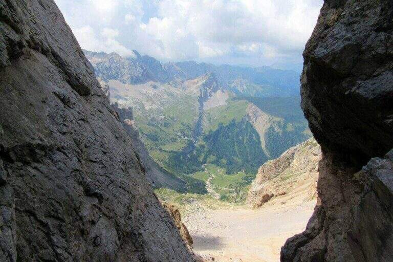
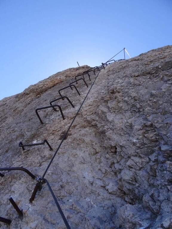
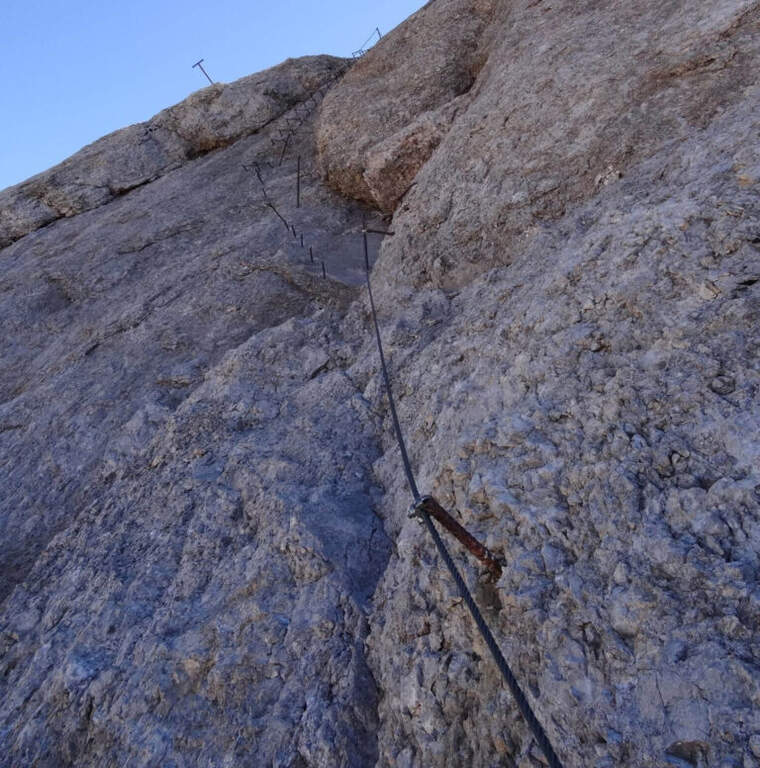
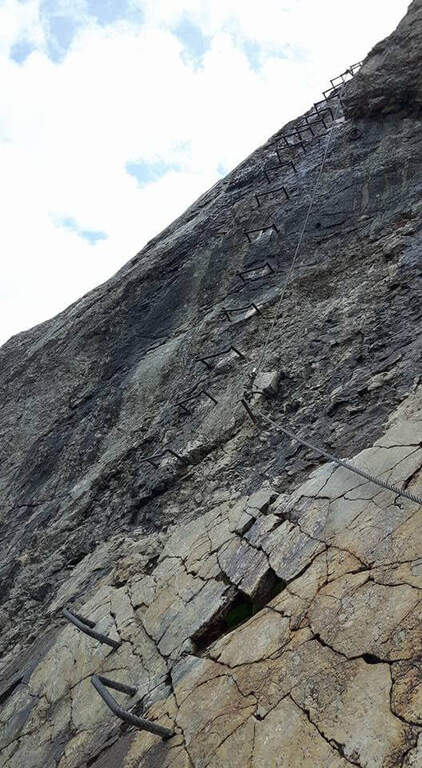
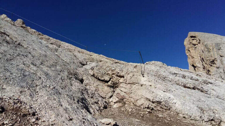
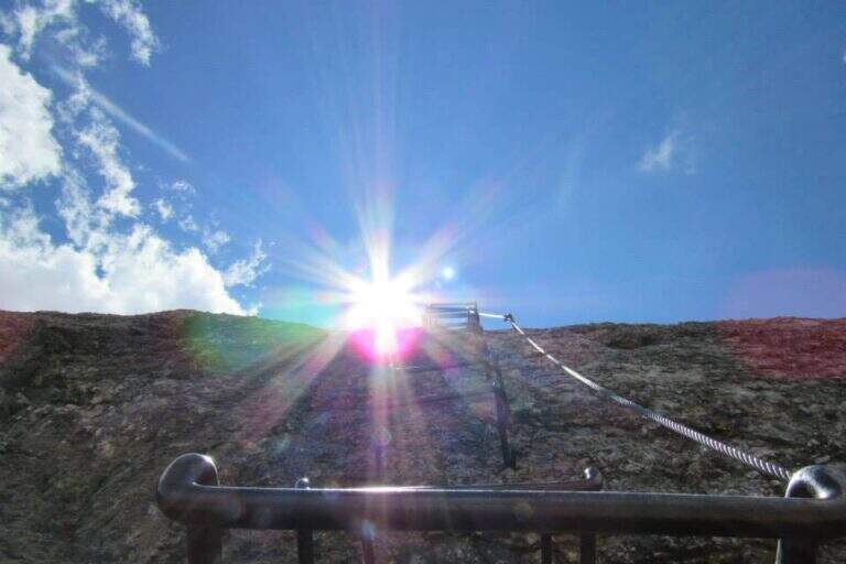
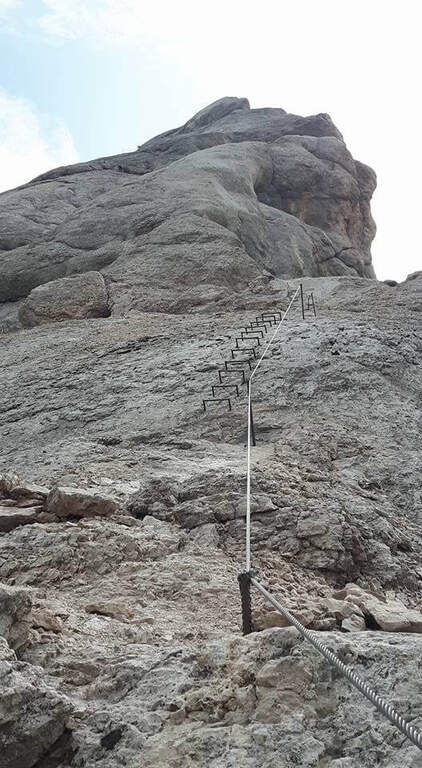
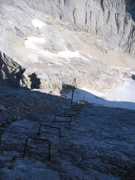
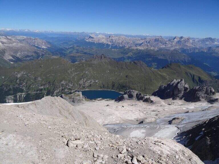
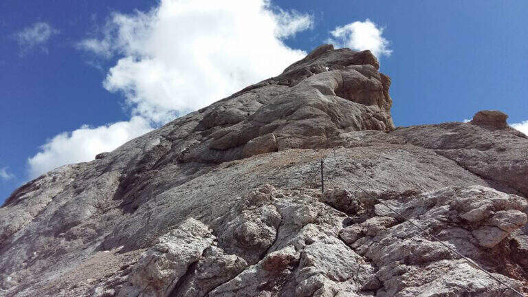
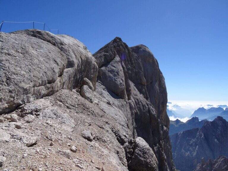
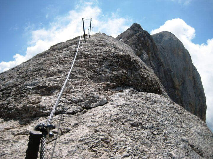
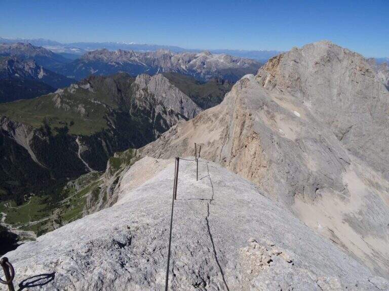
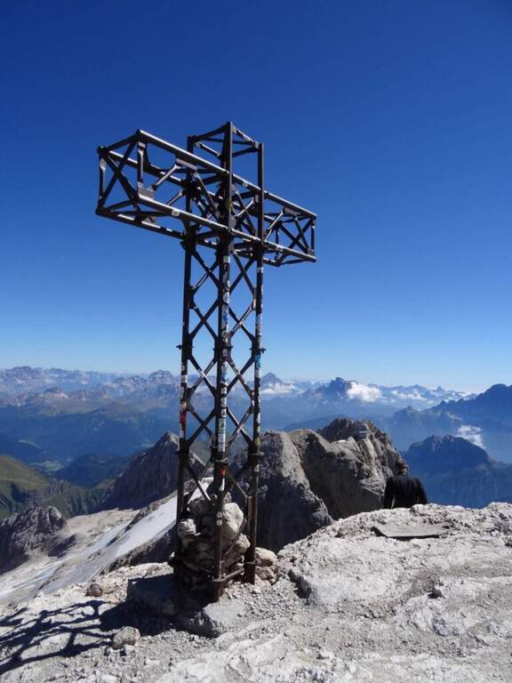
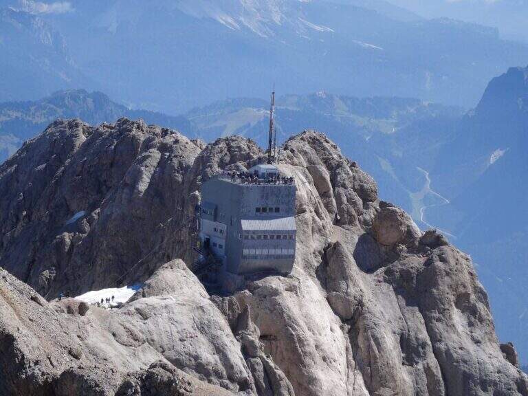
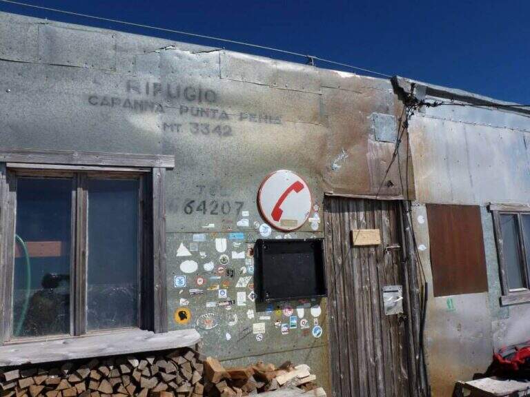
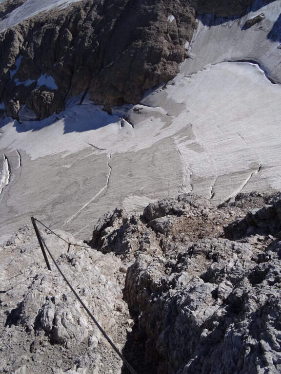
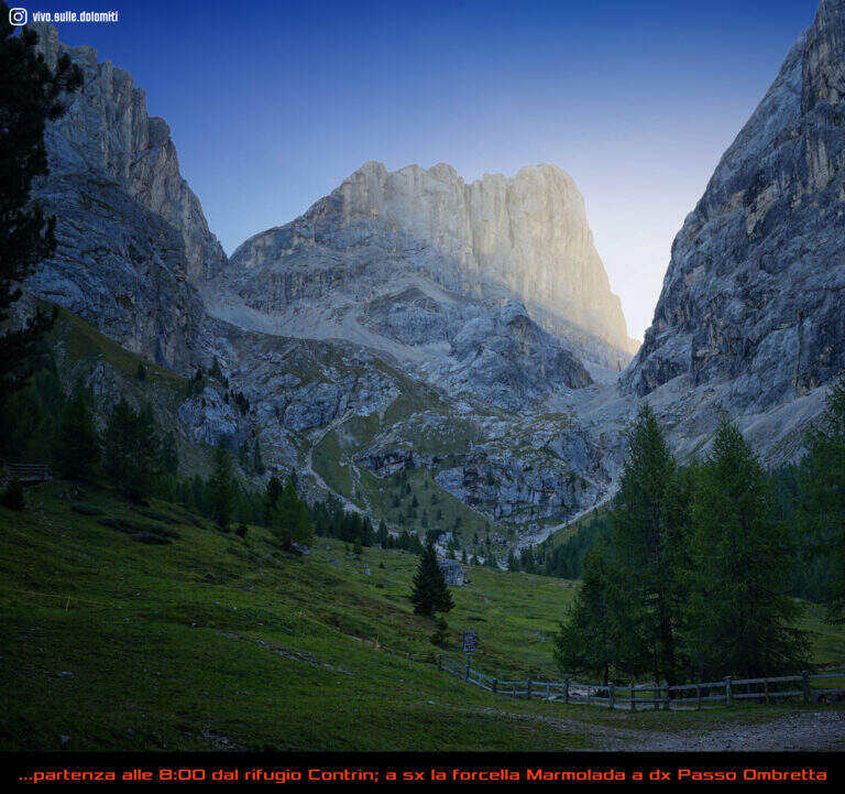
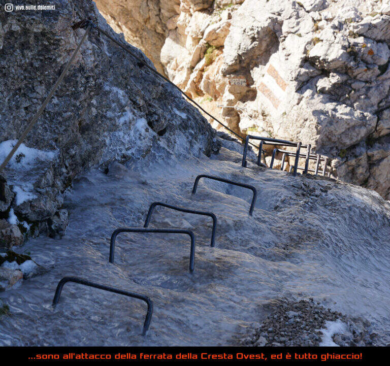
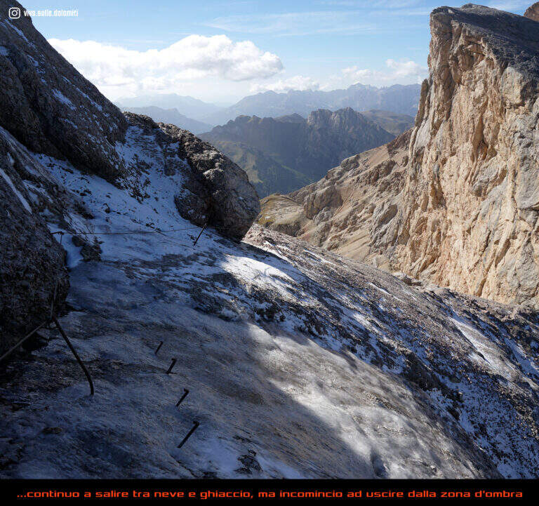
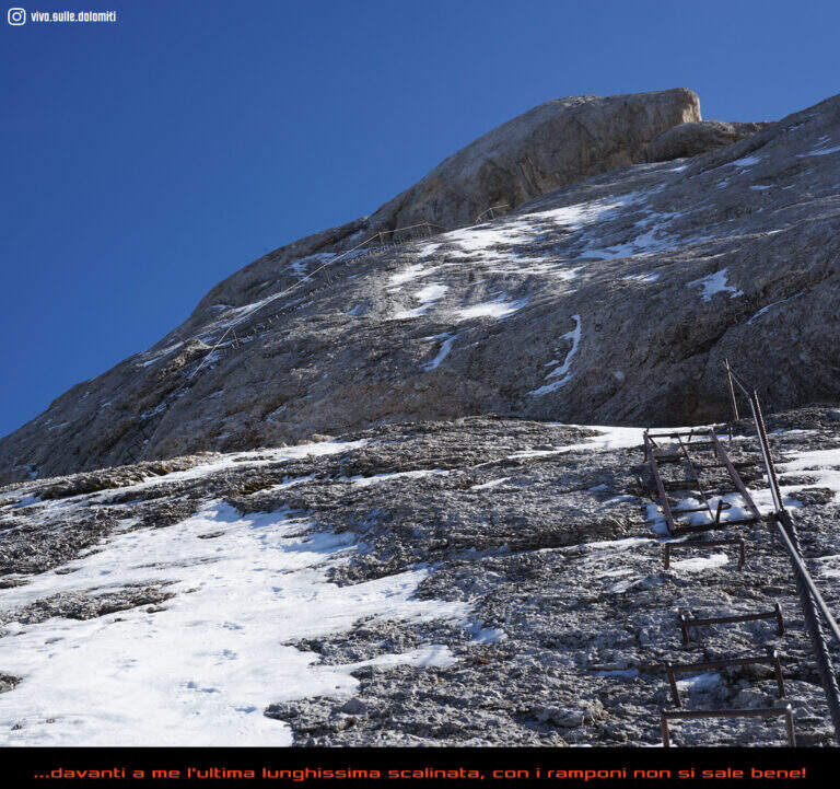
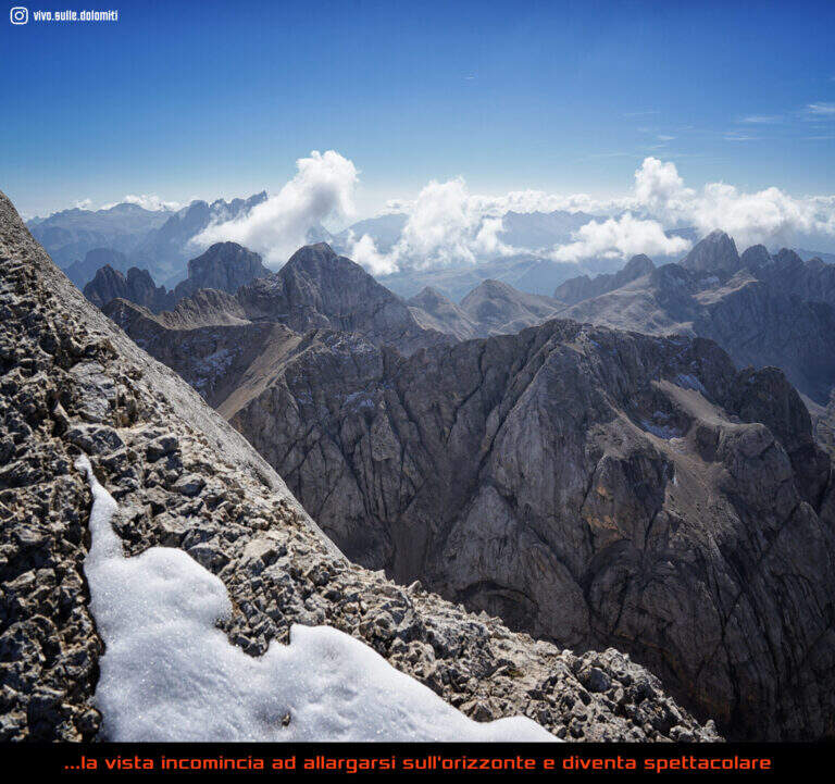
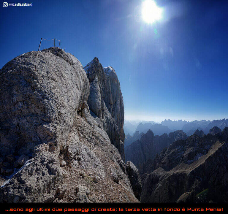
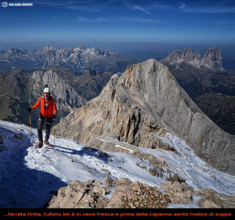
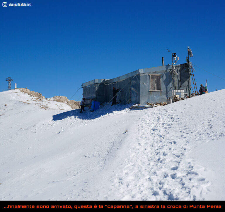
The first ropes carry, without difficulty (short sloped plates and easy balconies), to Forcella Marmolada (2910 m, 2h total), where you will meet the path from Val de Contrin and the remains of war huts dug into the rock. Then a plate with no flats is climbed thanks to a series of brackets, continue on tracks until a sloped ramp equipped and at a more steep stretch with cambre; after a crossing with piles and brackets you enter a fireplace equipped with piles, brackets and a ladder. Exit from the fireplace, small rocks and a vertical wall lead to a long sloped ramp where the cable helps balance; it follows a plaque with brackets, quite lean, and then a stretch that seems to be repeated, alternating cambre and plaques, up to a panoramic terrace. The last section runs on the crest above the imposing bastion of the south wall of Marmolada: between modest climbers and easy rocks the equipment ends, and a last stretch without cable leads to the Capanna di Punta Penia and then to the summit cross (3343 m, 2h 15' from the attack, 4h totals).
Technically the way is modest, but the environment is that of the high mountain, with all its pitfalls. It dates back to the early 20th century (1903, then known as Hans-Seyffer-Weg) and logically follows the weaknesses of the wall.
High altitude road to be tackled in summer; planning must take into account the conditions of the Vernel glacier uphill and the Marmolada glacier downhill, as well as the weather.
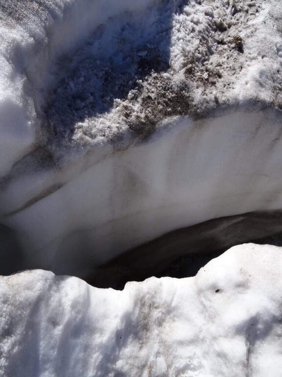
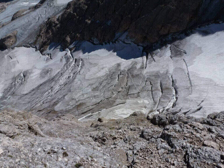
It is possible to descend backwards along the ferrata, but the most logical descent, with a ring, reaches the Ghiste della Marmolada below after some stretches equipped downhill; then follow the obvious trace on the glacier — with attention to the crevices, especially in case of fog — up to the Rifugio Pian dei Fiacconi (26262626 m) and back downstream (1h 45' from the summit, 5h 45' total).
On the opposite side of the Marmolada runs the other historic street, the Eterna Ferrata at Piz Serauta, longer, exposed and difficult. From Passo Fedaia, towards Porta Vescovo, the beautiful Ferrata delle Trincee; in Val de Contrin la Funds for the Colac, la Ferrata Ombretta e la Ferrata at Col Ombert.

- DifficultyModerately Hard
- RegionTrentino-Alto Adige
- GroupMarmolada
- Approach3:00 h
- Ferrata2:15 h
- Itinerary (a/r)7:30 h
- Hardware level difference443 m
- Route difference720 m
- Max3343 m
- Length7 Km
