Caratteristica: Difficoltà tecniche modeste, molto esposta

  • Ferrata Val di Scala

    Ferrata Val di Scala

    Vie Ferrate › Trentino-Alto Adige › Trento
    Ferrata Val di Scala

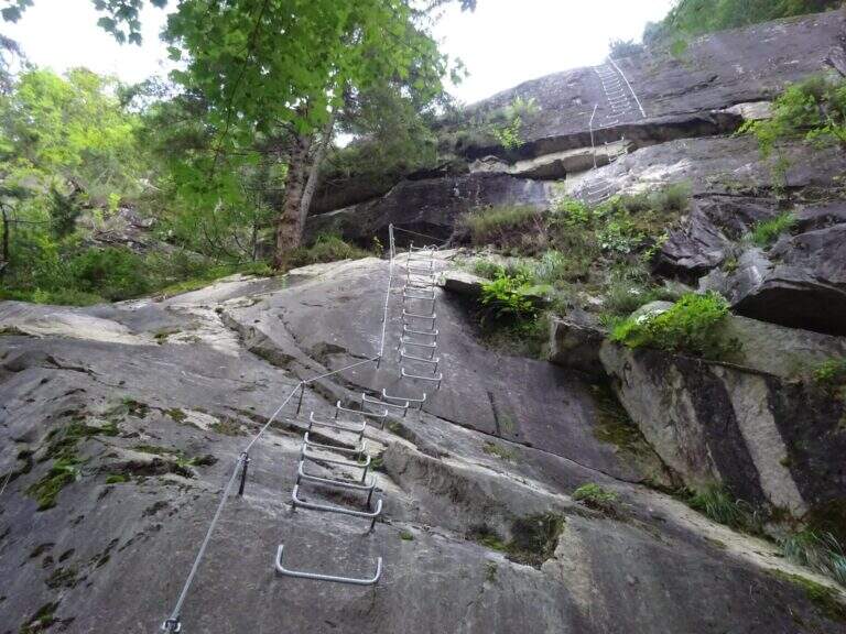
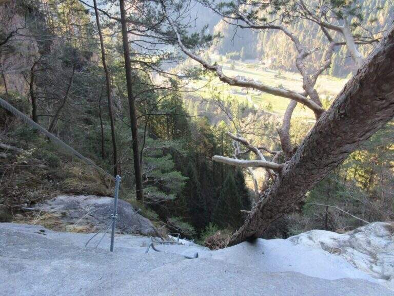
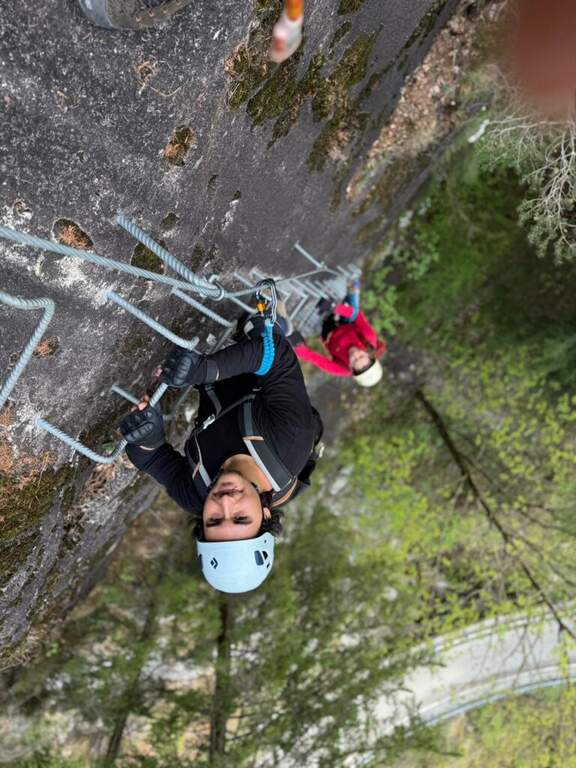
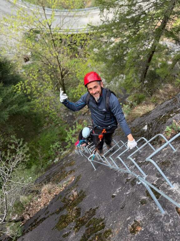
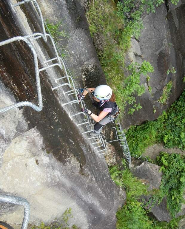
    La Ferrata Val di Scala (also called Caoria or the Canal San Bovo) is a short and well-equipped itinerary, ideal for approaching the world of equipped routes: technical difficulties remain modest even in the presence of a good exposure. The context, in the province of Trento on the side of the Lagorai Chain, is very beautiful and isolated, away from mass tourism.

    ▲Approach

    The starting point is located along the road connecting Canal San Bovo e Caoria and that goes up the Val di Scala: you park near a pronounced curve, with the attack placed a few meters from the road. Open road signs on Google Maps. From the parking lot the street is already visible: in a few minutes, following the track, you reach the attack (10' from the parking lot).

    ▲The path

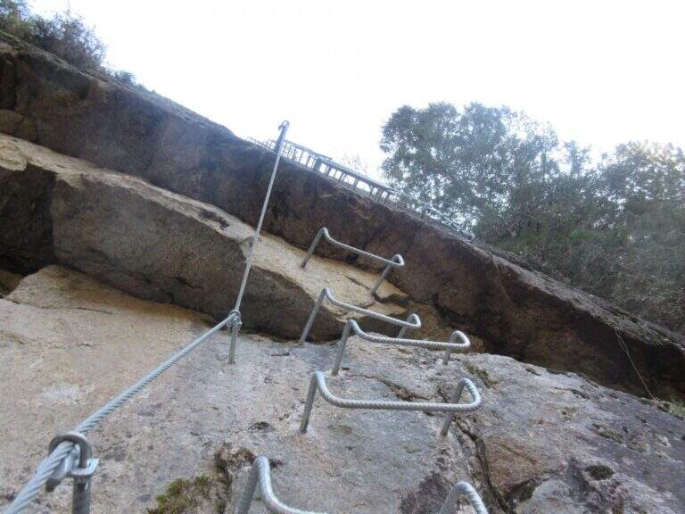
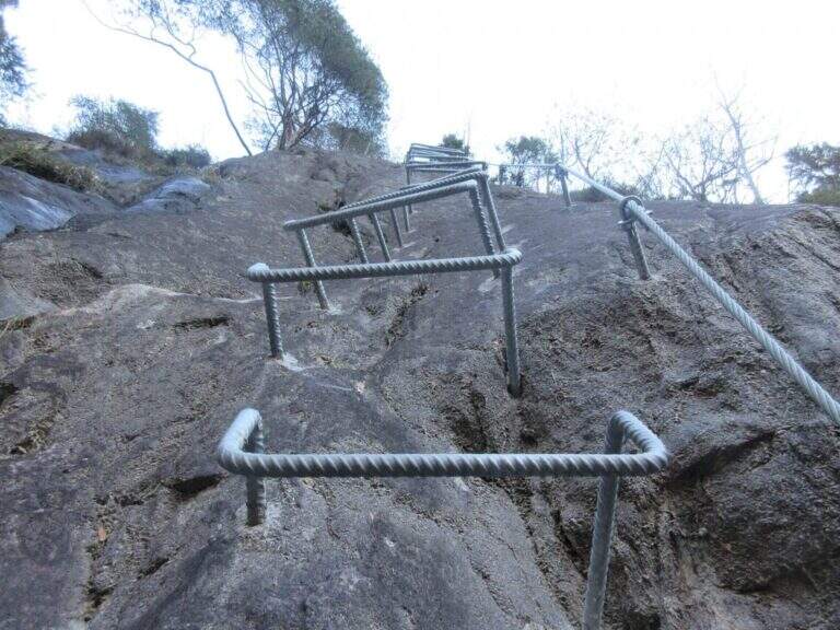
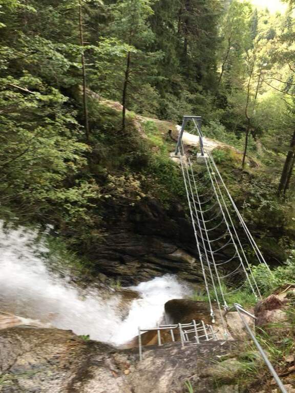
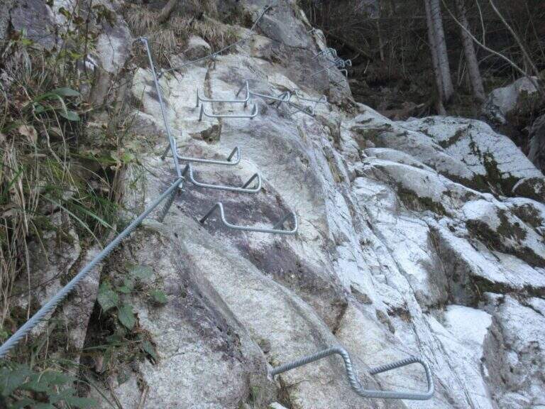
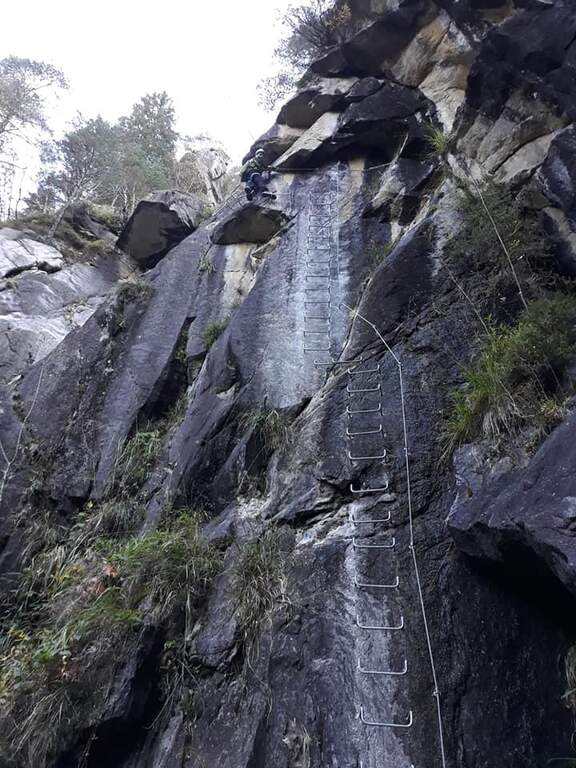
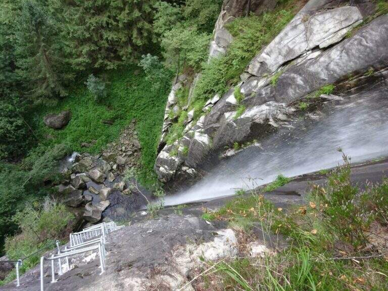
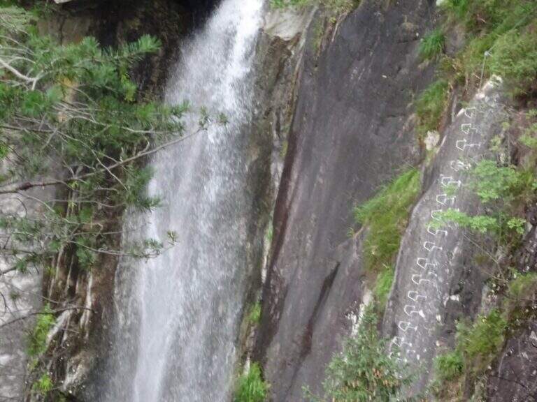
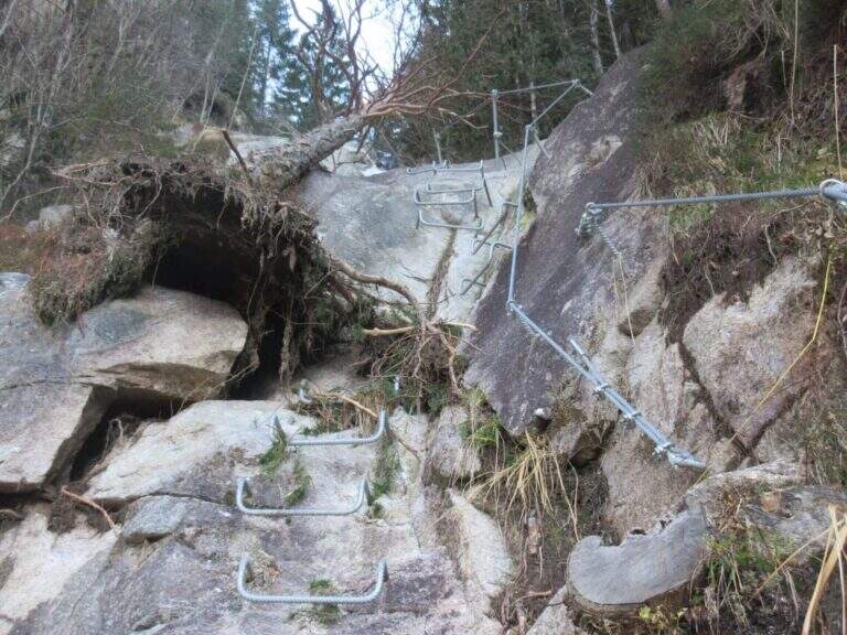
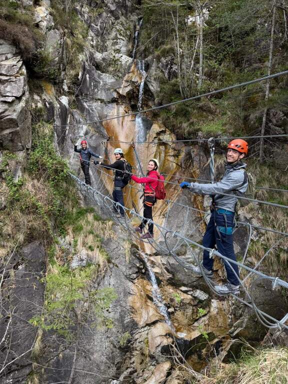
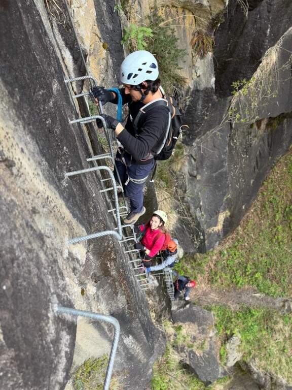
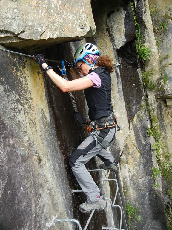
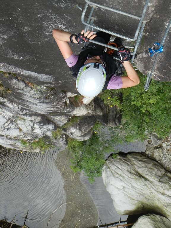
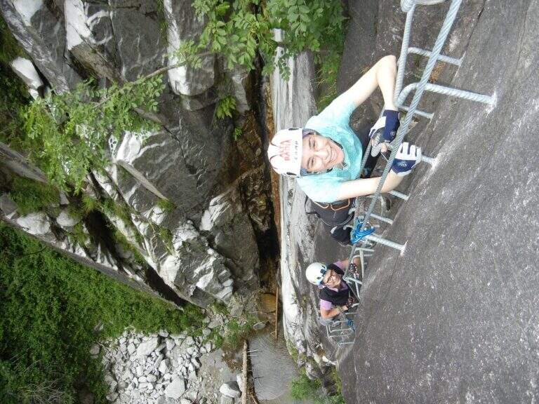
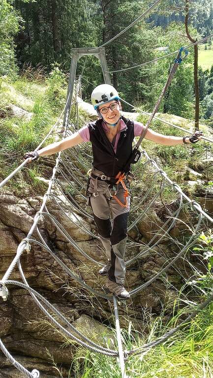
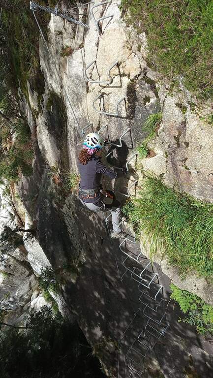
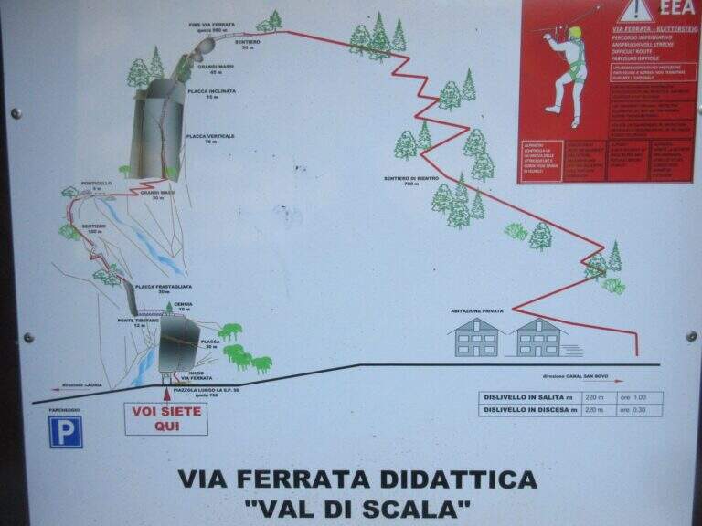
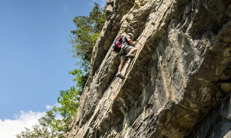
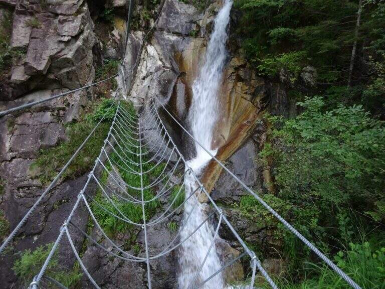
    The first meters are immediately vertical on plate, with a rapid succession of cambre for about fifteen meters, after which a short terrosa nod leads to the right. The cable starts vertically, always on metal cambres, leading under a tetto rocky that goes beyond with the cable that for some meters flows on both sides. Continue vertically on the cambre scale and then on the left towards the bridge suspended , very stable and along about fifteen meters; beautiful the waterfall that flows right of the bridge and that, after l' crossing, it turns uphill. After a short horizontal stretch on the edge of the stream, a series of difficult-to-grave transverses; but very panoramic accompanies the leaps of the course d' water. The equipment is interrupted by a stretch of connecting path, then the cables resume at some small rocks and act as a handrail where the path tightens; a stone goes up beyond which a wooden walkway crosses the stream. Beyond the catwalk we proceed on a track, on the left, to a vertical wall: a long row of cambre rises, interspersed by a short stretch on the left, up to a new rocky roof that this time wanders left with the feet on the &ndash cambre; the più point; exposed to the via. Mounted the roof is divided vertically for about twenty meters up to a short stretch; next to the waterfall again. Finally, there are some rocky balconies abundantly relayed, with short stretches of connection, and after the last equipped rocks the way ends (40' from the ' attack).

    ▲Character and difficulty

    Recent and modern hardware in the design, with numerous metal fixtures. Those looking for a "arrampable" route will be disappointed; those who appreciate verticality will find satisfaction, with limited technical difficulties. It is perfect for taking confidence with the equipped routes to those who are already accustomed to exposed excursions; the equipment is in good condition.

    ⚠ Although technically easy, the way è ben exposed: non è suitable for those suffering vacuum. Helmet and hardware set remain indispensable. For the cartography ` useful the map of the Park of Paneveggio – Pale di San Martino o la Lagorai – Cima d'Asta.

    ▲Discipline

    After finishing the ferrata follow the clearly visible track that brings to the parking space in about 20 minutes (1h 15' overall).

    ▲To match

    It is probably the only easy route in this area of Trentino, rich instead of long and challenging routes. Not far away Ferrata Gabrielli salt in Cima d'Asta; moving to the Pale di San Martino there is the Ferrata del Porton, la Ferrata del Velo e la Ferrata Bolver-Lugli. For those in the first arms, in Val di Fiemme there is the Ferrata del Bombasel at Cermis.
    ▲Gallery
    Technical data
    • DifficultyEasy
    • RegionTrentino-Alto Adige
    • ProvinceTrento
    • GroupChain of Lagorai
    • Approach10 min
    • Ferrata45 min
    • Complete itinerary (a/r)1h 15'
    • Hardware level difference200 m
    • Route difference239 m
    • Maximum1004 m
    • Length2,4 km
  • Ferrata delle Guide di Macugnaga al Monte Moro

    Ferrata delle Guide di Macugnaga al Monte Moro

    Vie Ferrate › Piemonte › Verbano-Cusio-Ossola
    Ferrata delle Guide di Macugnaga al Monte Moro
    Moderately Hard● OpenDescriptionComplexityMapsGallery

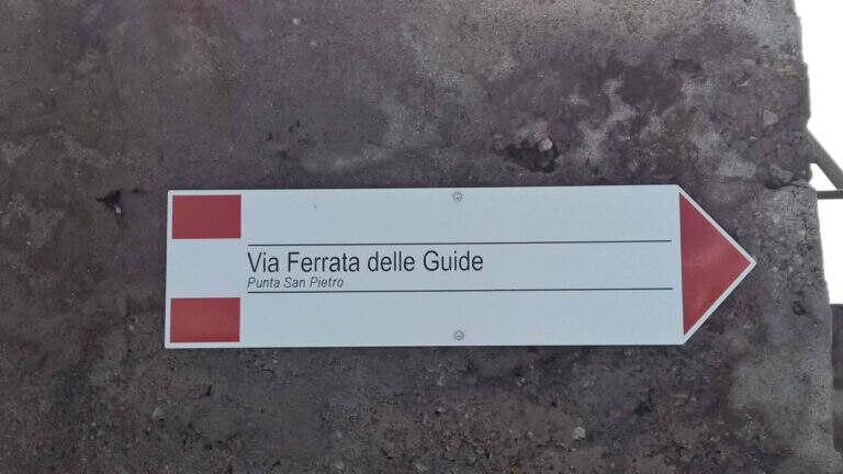
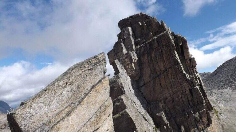
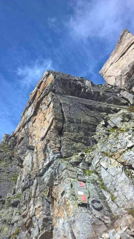
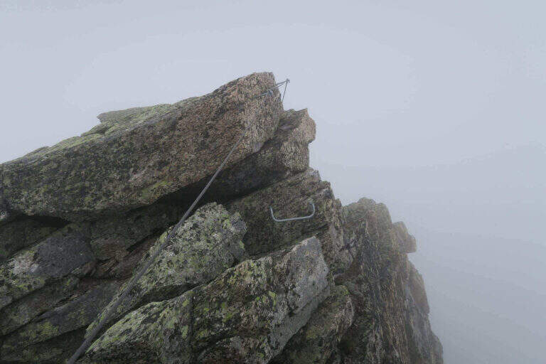
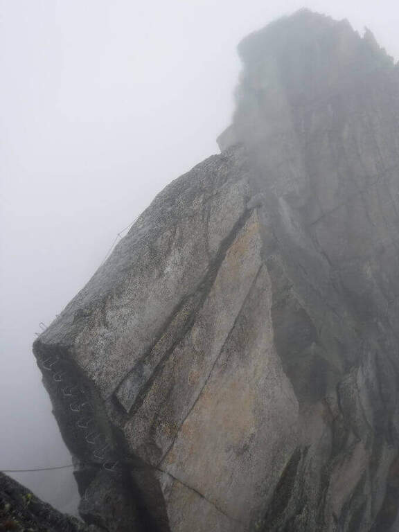
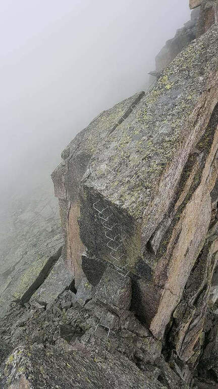
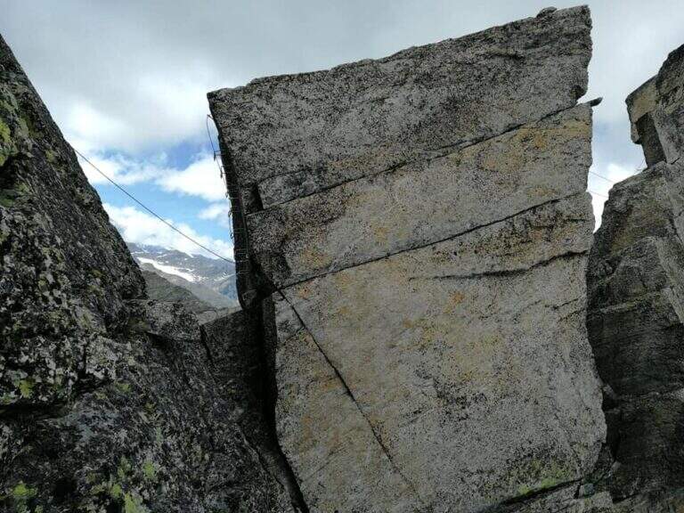
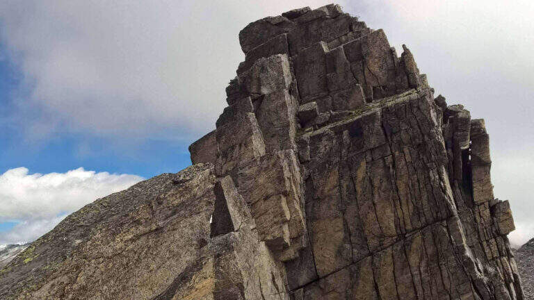
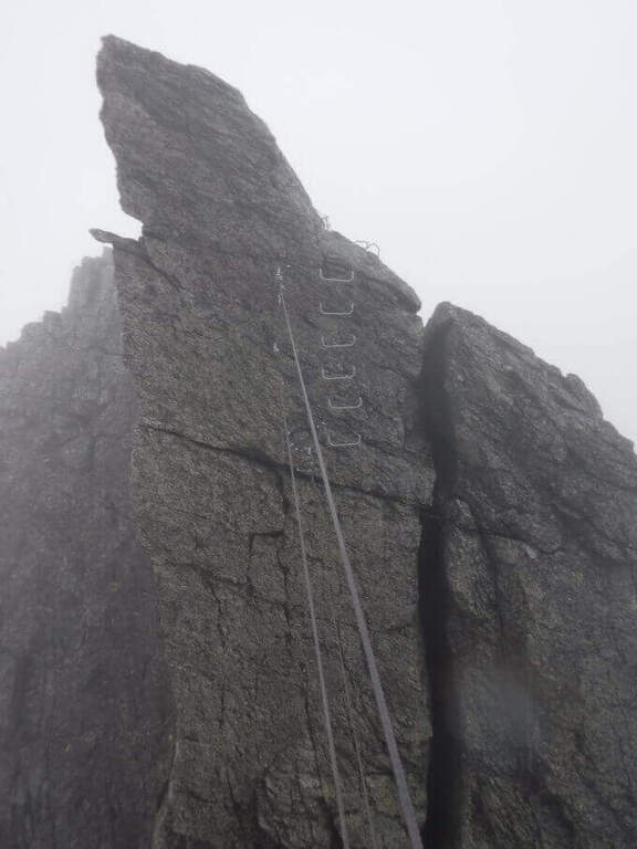
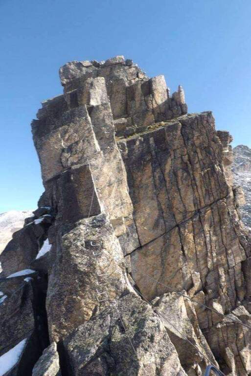
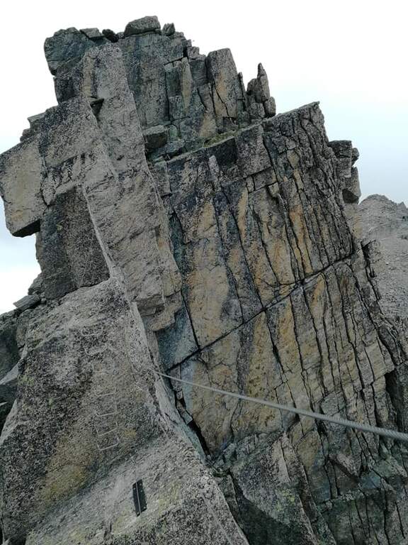
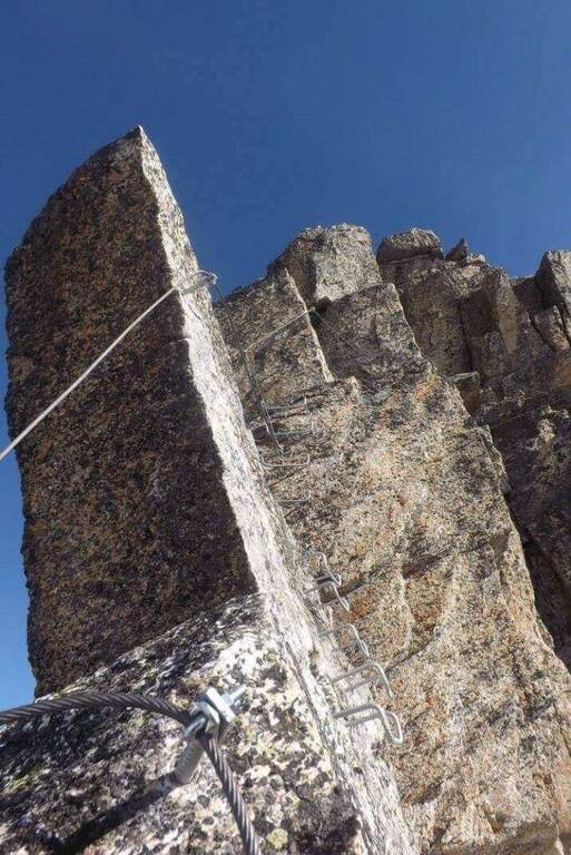
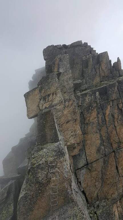
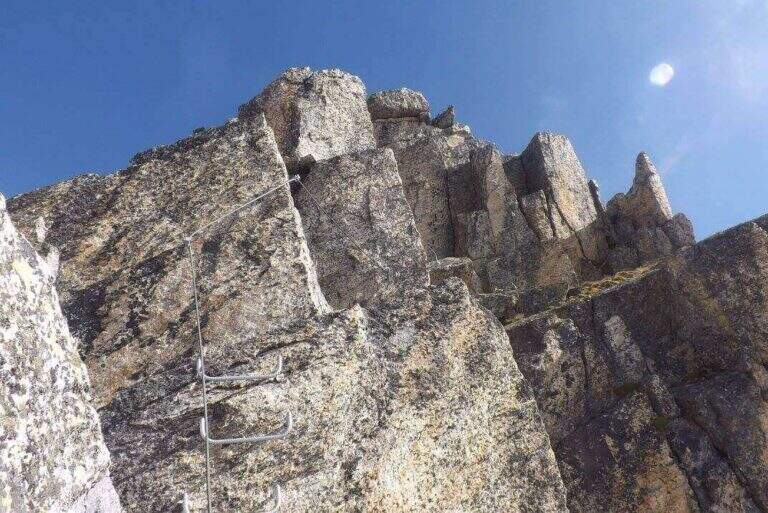
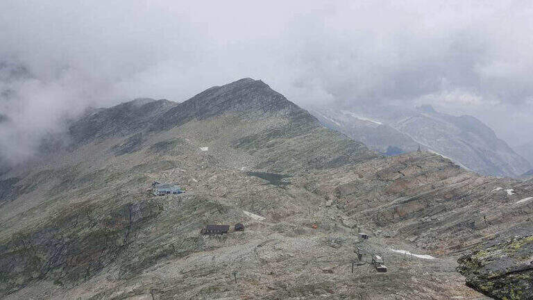
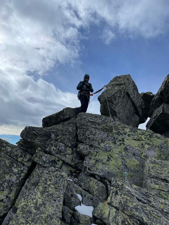
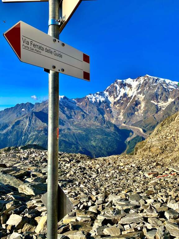
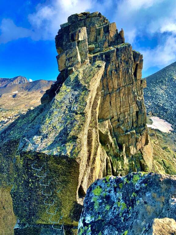
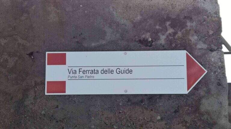
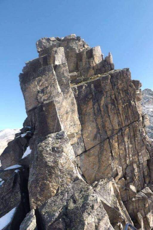
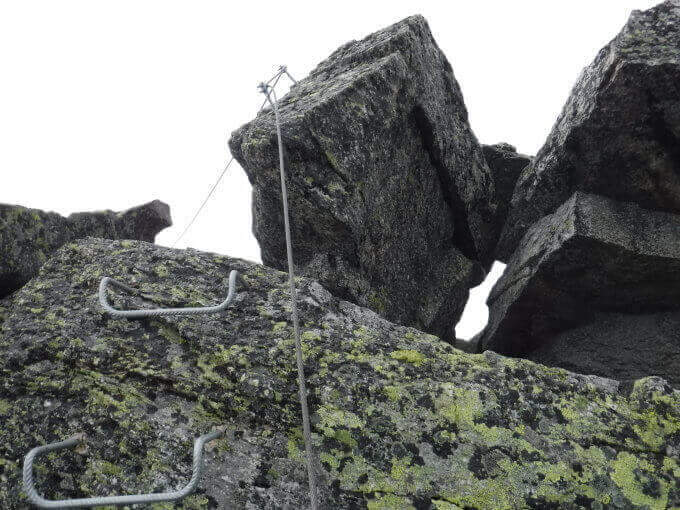
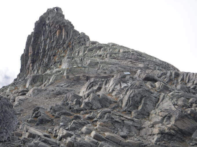
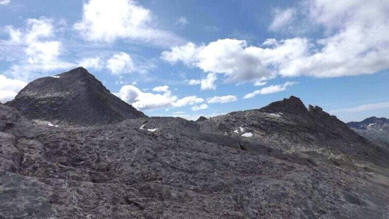
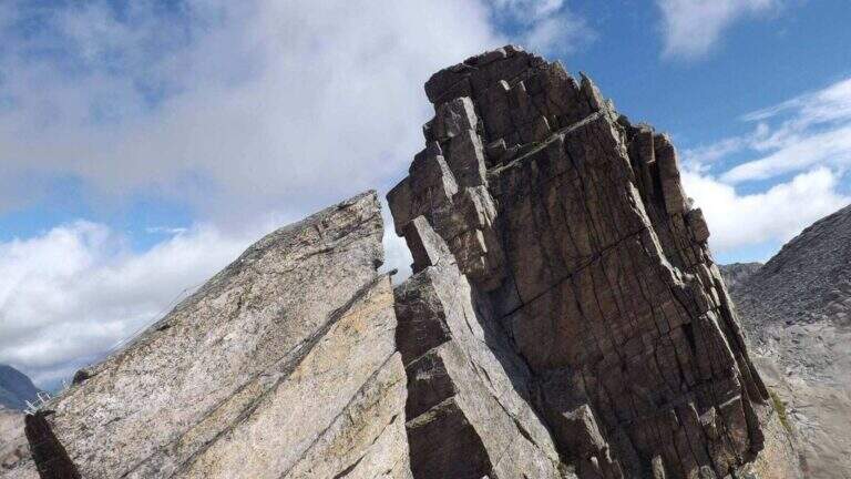
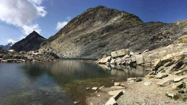
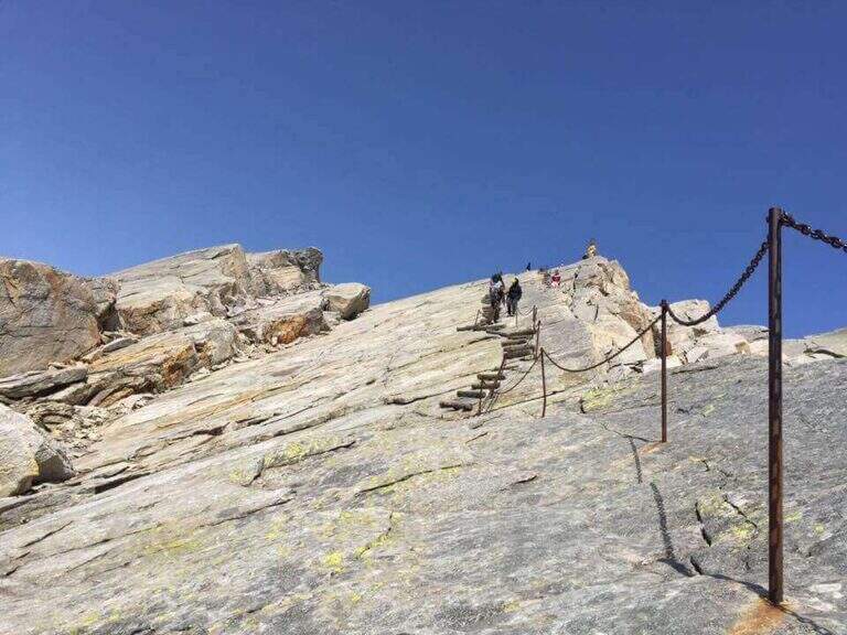
    La Ferrata delle Guide di Macugnaga è una via recente, di alta quota, che si sviluppa al Passo di Monte Moro lungo la Cresta di San Pietro. È una ferrata di cresta, aerea e breve: non presenta particolari difficoltà tecniche, ma è molto esposta e immersa in un ambiente d'alta montagna, alle soglie dei 3000 metri.

    ▲Approach

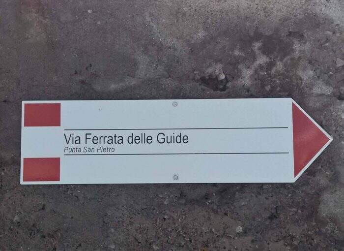
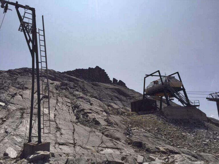
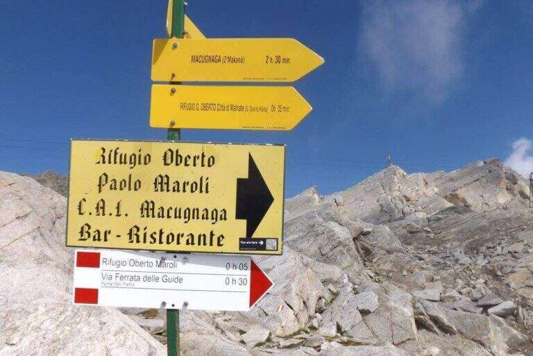
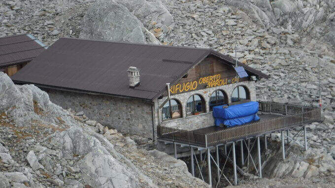
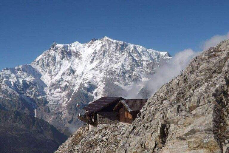
    Il punto di partenza è la stazione a monte della funivia che collega Staffa (provincia del Verbano-Cusio-Ossola) al Passo di Monte Moro. Per raggiungere Staffa si percorre di norma l'A26 fino a Gravellona Toce, sul versante occidentale del Lago Maggiore, poi si prosegue oltre Anzola d'Ossola sulla SR549 di Macugnaga, risalendo la valle fino al paese, dove si parcheggia nei pressi della funivia (starting point on Google Maps). Dalla stazione a monte si scende verso il rifugio Oberto Maroli e da qui si prosegue in direzione della Cresta di San Pietro, seguendo le tracce sotto la roccia fino all'attacco della ferrata (30' dalla stazione della funivia).

    ▲The path

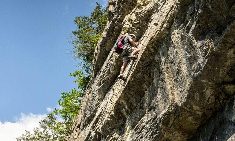
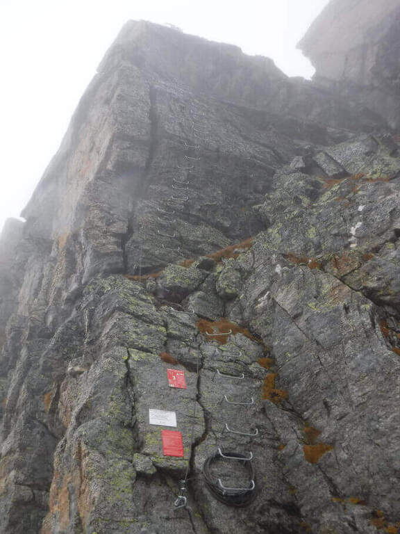
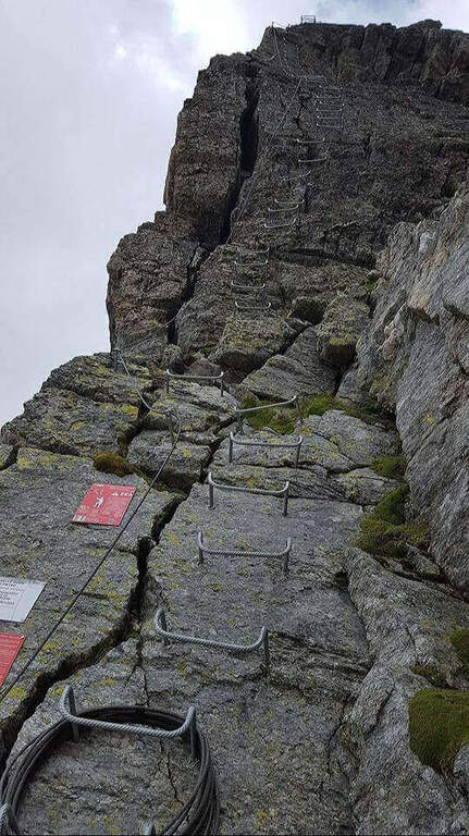
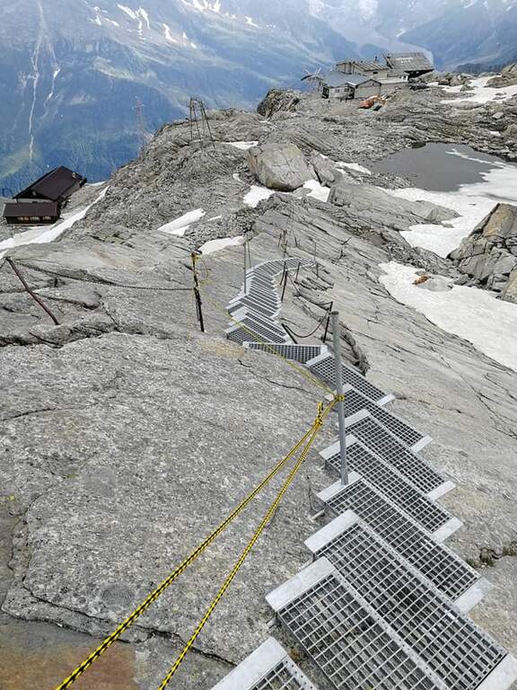
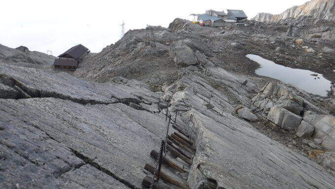
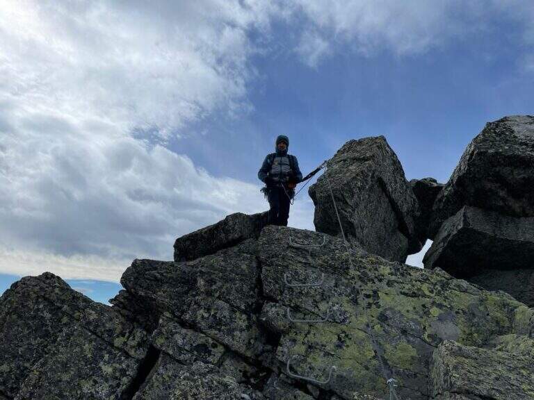
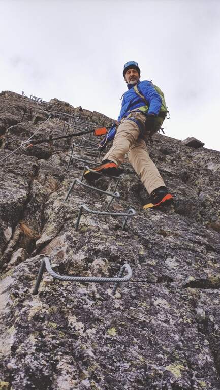
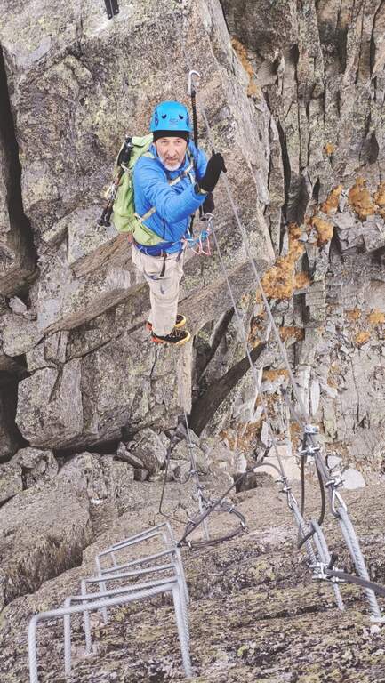
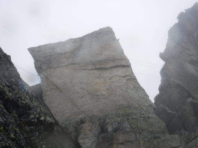
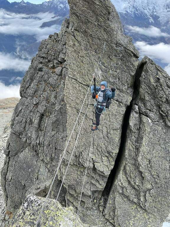
    La via parte subito verticale, risalendo una parete con abbondanti cambre a sostegno dei piedi; in cima si vira a destra lungo la cresta, con un breve tratto in disarrampicata, esposto ma non difficile. Si percorre poi un tratto di cresta con brevi salite e discese su pulpiti rocciosi — il primo in leggero strapiombo — fino a scendere alcuni metri e raggiungere un aereo e adrenalinico ponte sospeso. Attraversato il ponte si percorre un traverso verso destra, si risale una breve parete e si prosegue in salita lungo le attrezzature, sempre abbondanti; terminata in breve la salita inizia la discesa, anch'essa attrezzata ma meno impegnativa, che porta al termine della via ferrata (1h dall'attacco). Da qui si può rientrare alla funivia, oppure proseguire verso il Joderhorn: dal termine della ferrata si va a sinistra seguendo alcuni ometti nella ripida salita fino alla cresta sommitale (3036 m), da cui si scende alla croce di vetta con il libro delle firme; si ripercorre poi a ritroso il sentiero fino al Passo di Monte Moro, con un breve tratto attrezzato, e quindi alla funivia (45' dal Joderhorn).

    ▲Character and difficulty

    È una classica ferrata di cresta in cui l'esposizione è la protagonista: le difficoltà tecniche sono modeste e il dislivello basso, quasi tutto concentrato nella prima parete verticale; il resto è cresta aerea, con il ponte a rendere il tutto ancora più esposto.

    ⚠ Si è in alta montagna, alle soglie dei 3000 metri: prestare la dovuta attenzione all'equipaggiamento e alle condizioni meteo, che possono cambiare rapidamente.

    ▲Period and safety

    Itinerario d'alta quota legato all'apertura della funivia e alla stagione estiva; da valutare sempre con meteo stabile vista la quota e l'esposizione.

    ▲Discipline

    Dal termine della ferrata si segue il chiaro sentiero che in 20 minuti riporta alla funivia (2h complessive).

    ▲To match

    Relativamente vicine ci sono due ferrate periferiche che può valere la pena combinare una volta in zona: la Ferrata Gabi al Sempione, a circa 1h 15' da Staffa e con itinerario non particolarmente lungo, e la Ferrata del Lago, più lunga e che di solito richiede il pernottamento al Rifugio Andolla (2h di sentiero).

    ▲Gallery
    Technical data
    • DifficultyModerately Hard
    • RegionPiedmont
    • GroupMonte Rosa
    • Approach0:30 h
    • Ferrata1:00 h
    • Itinerary (a/r)2:00 h
    • Hardware level difference120 m
    • Route difference250 m
    • Max2905 m
    • Length6 Km
Need help? Write to us!