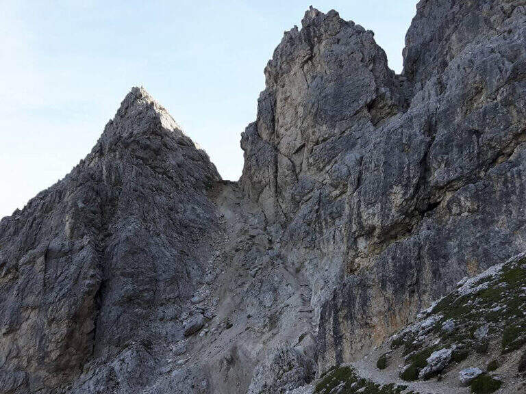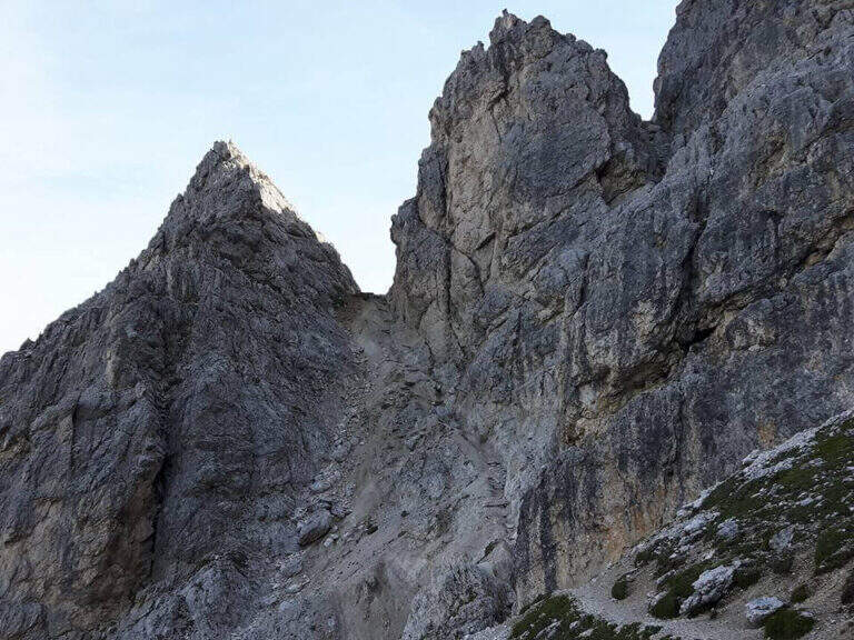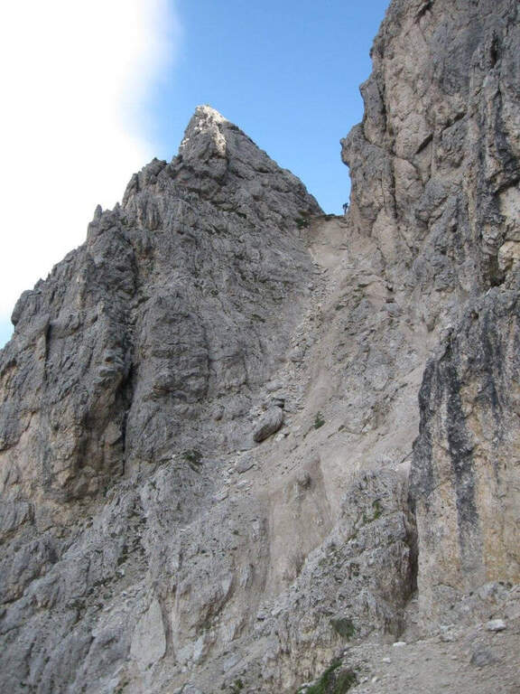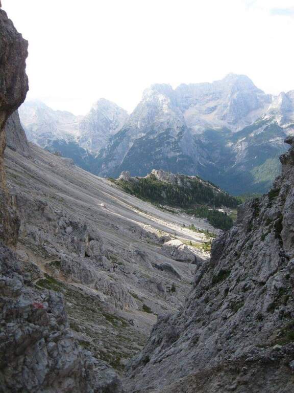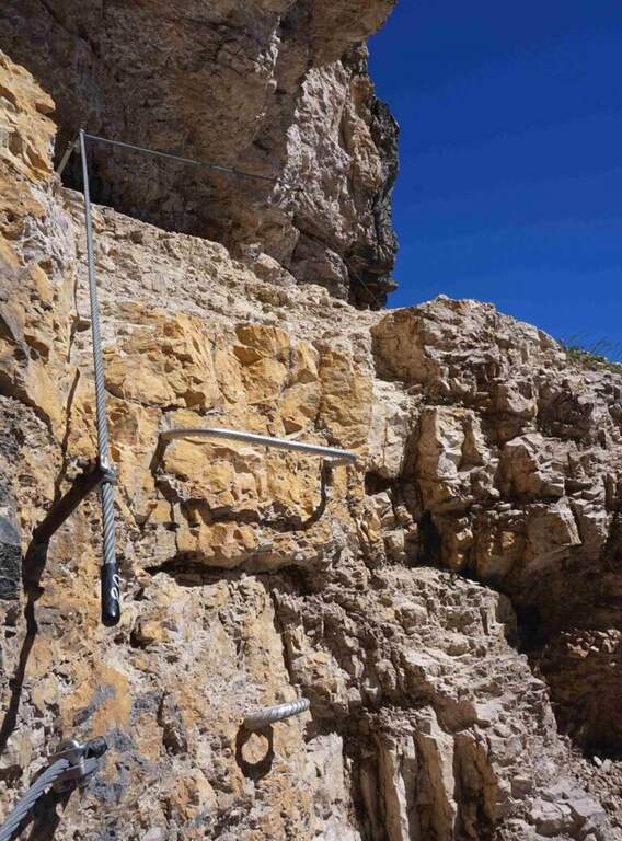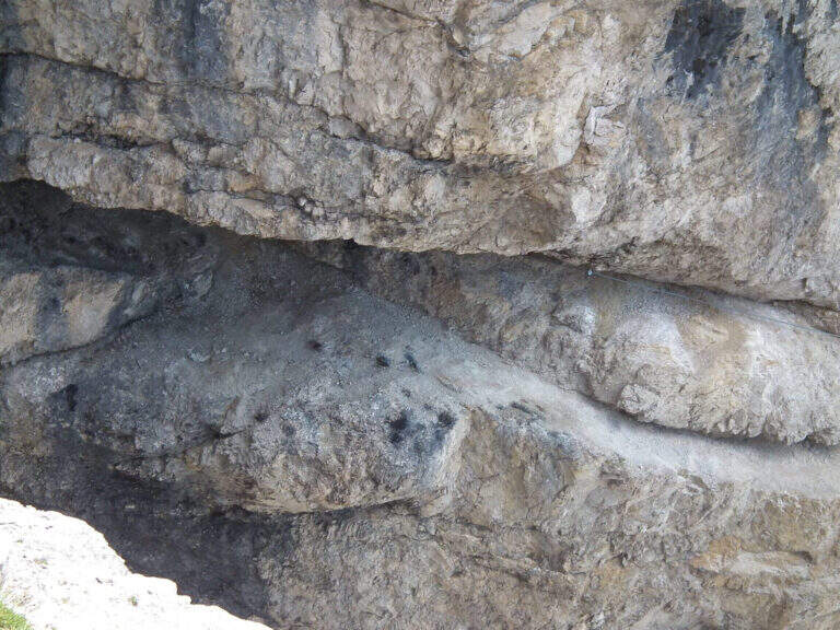
Caratteristica: Frana 2017

  • Path equipped Bonacossa

    Path equipped Bonacossa

    Vie Ferrate › Veneto › Belluno
    Path equipped Bonacossa
    Moderately Hard● To checkDescriptionComplexityMapsGallery

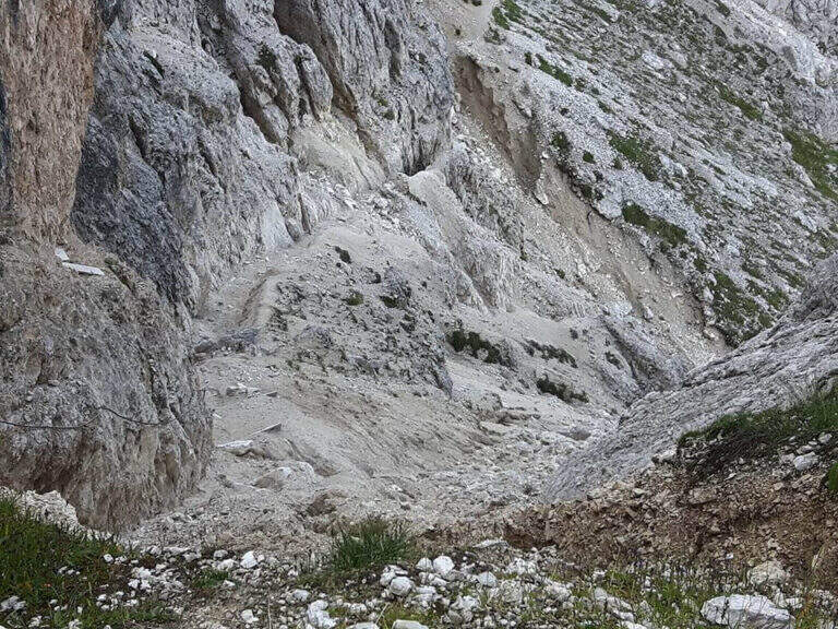
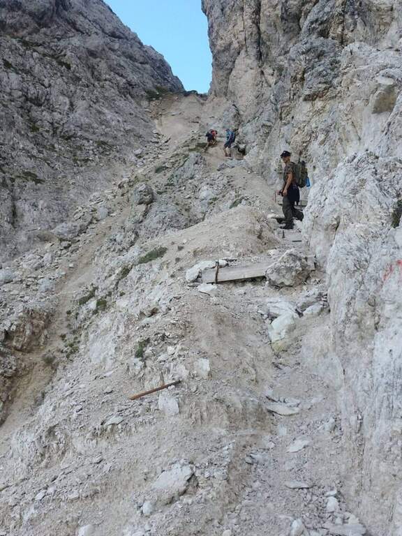
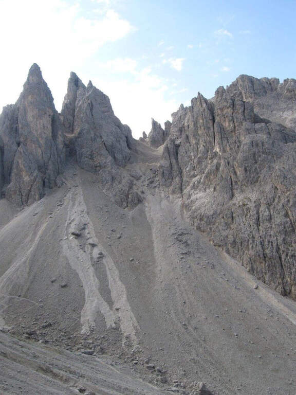
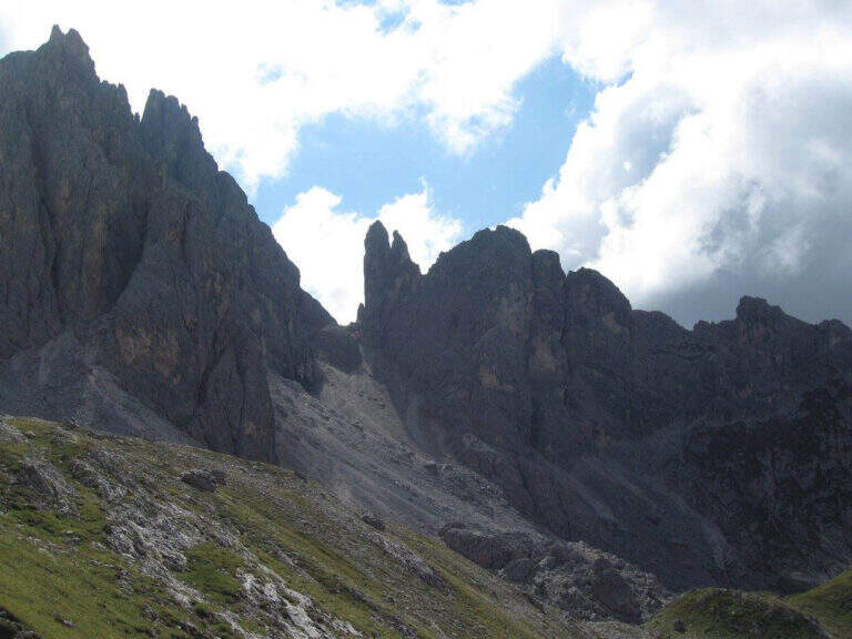
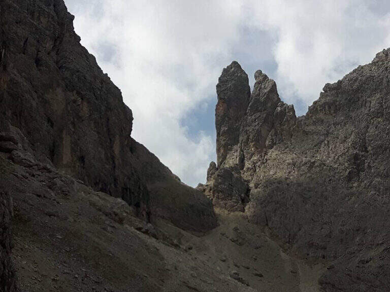
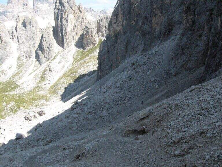
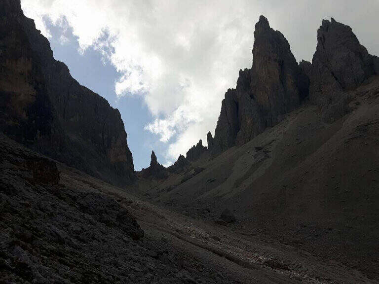
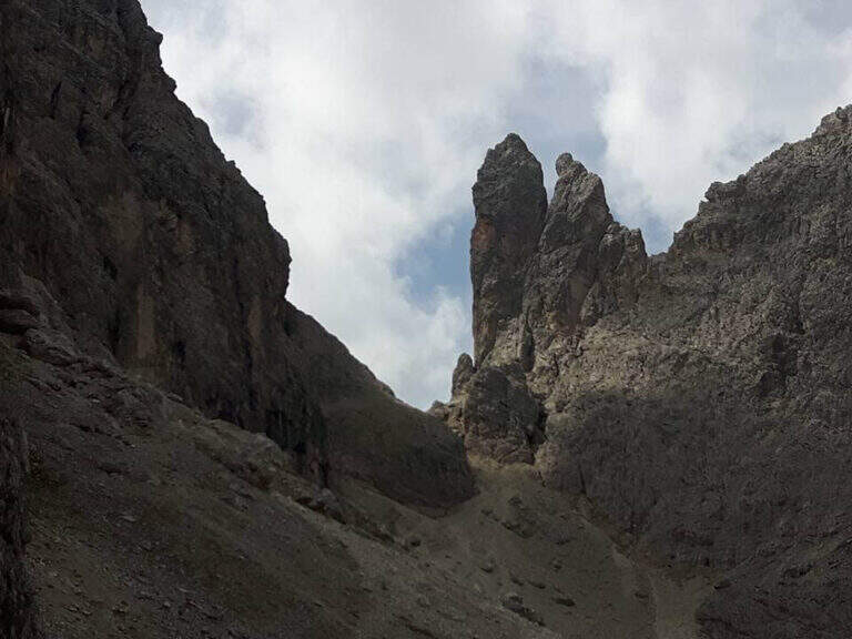
    viso Notice — Since 2017 the Forcella di Misurina è affected by a landslide that has made it impossible to reach the point of the path is still closed. È it is possible to travel on the route from the Ciadin de la Neve. Always check the current conditions at the refuges in the area before leaving.

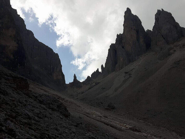
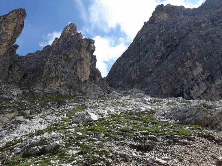
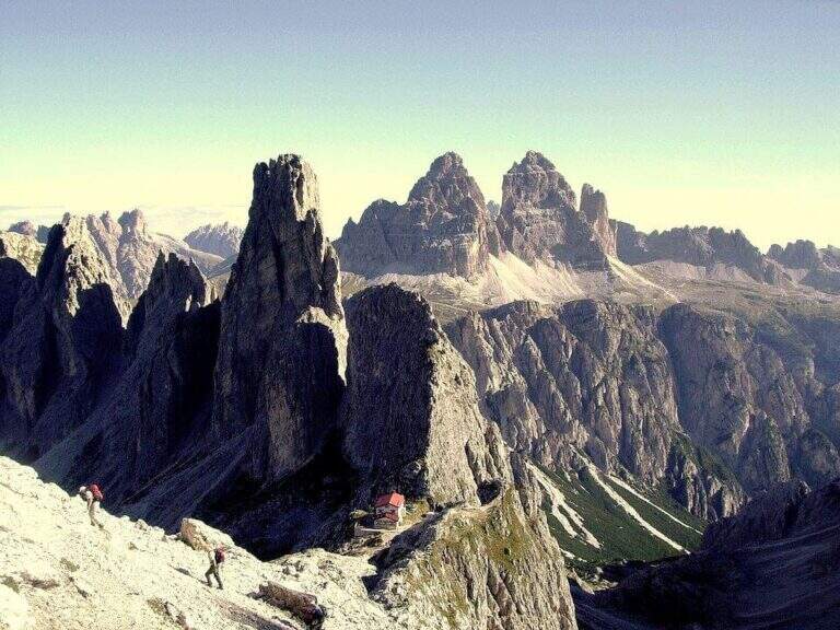
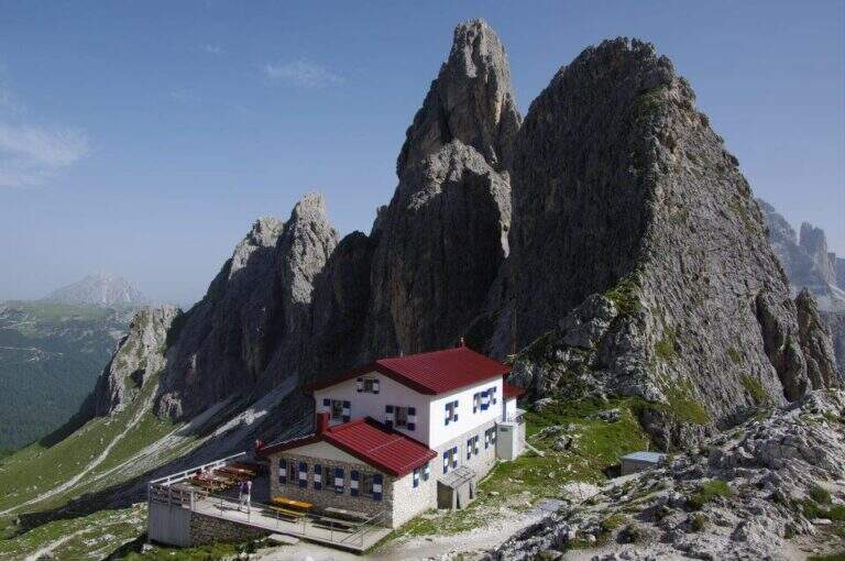
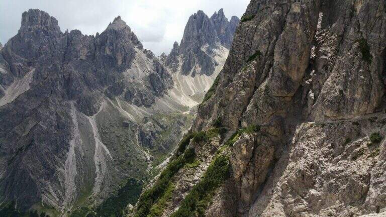
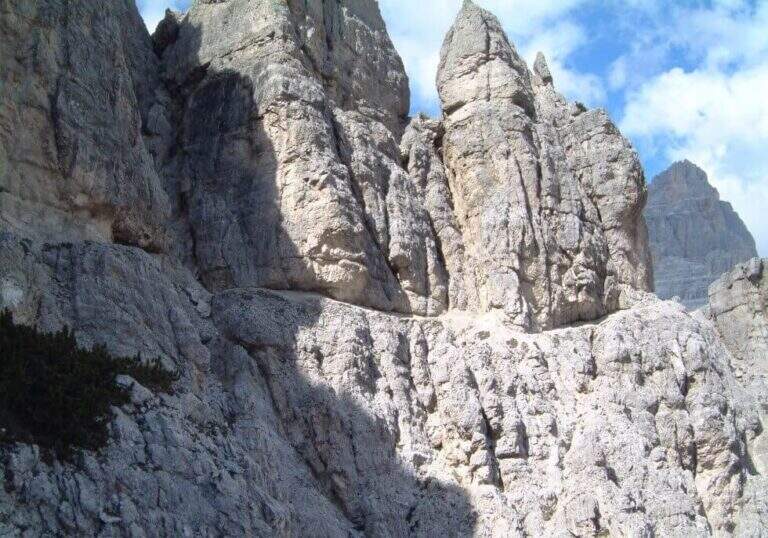
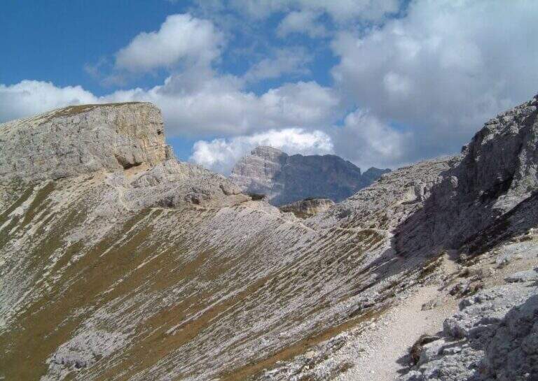
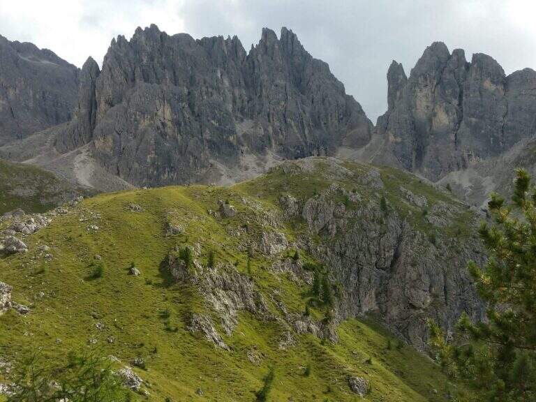
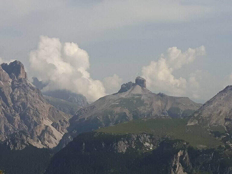
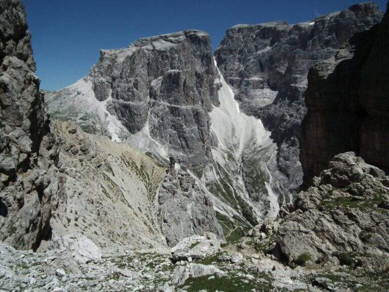
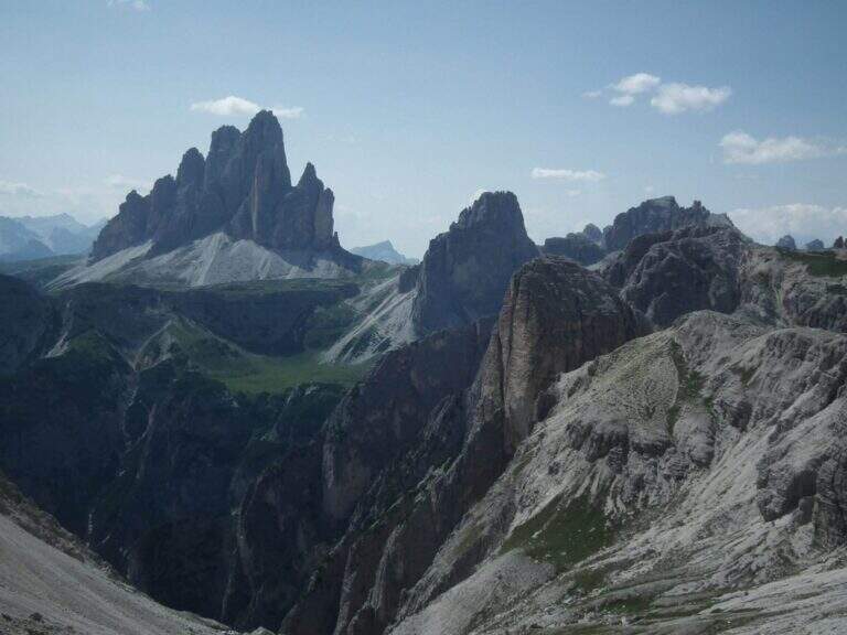
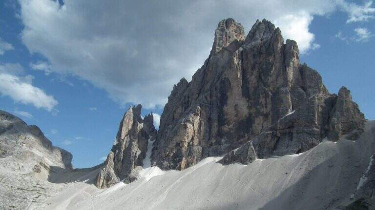
    Il Path equipped Bonacossa is a long and beautiful itinerary, partly equipped, which cuts in south-north direction the Group of the Cadini di Misurina (Dolomiti di Sesto). Different room forks, with a total difference of height much greater than the absolute for the continuous climbs. The equipped stretches are not difficult, but the excursion requires good training and steady foot, especially from Forcella de Rinbianco onwards.

    ▲Approach

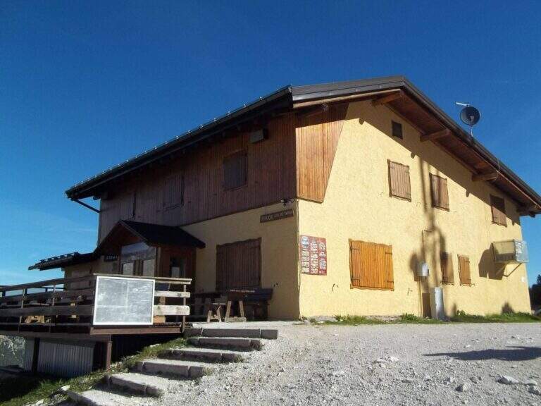
    The starting point & the mountain station of the Col de Varda, on the eastern side of Lake Misurina. You park at the south side of the lake, near the ' Hotel Alpenrose, and you reach the facilities. Open road signs on Google Maps. With the seggiovia not c' & ` approaching; alternatively, it rises in 45' from Lake Misurina (1756 m) to the Col de Varda Refuge (2115 m) for the steep 120 signpost.

    ▲The path

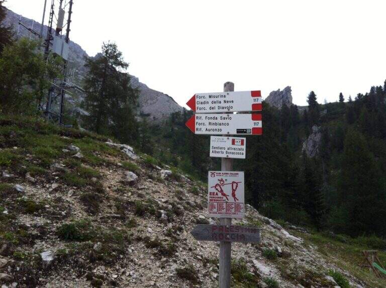
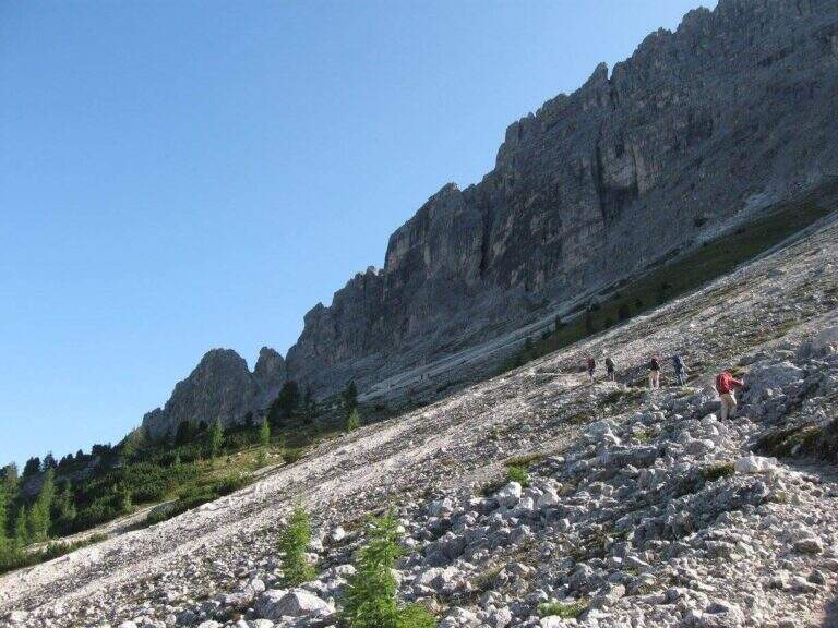
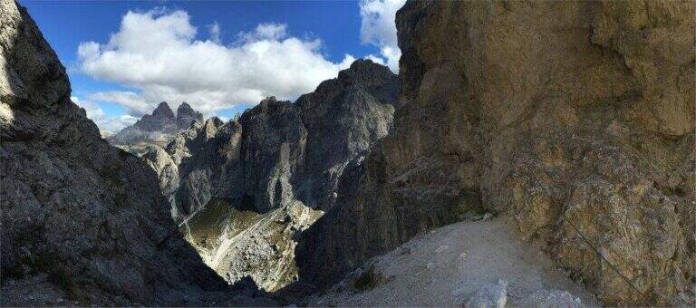
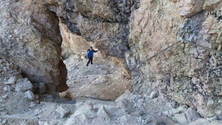
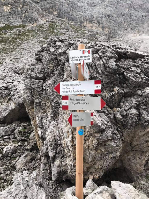
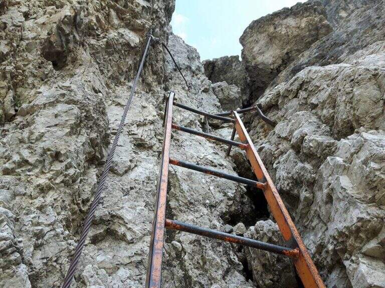
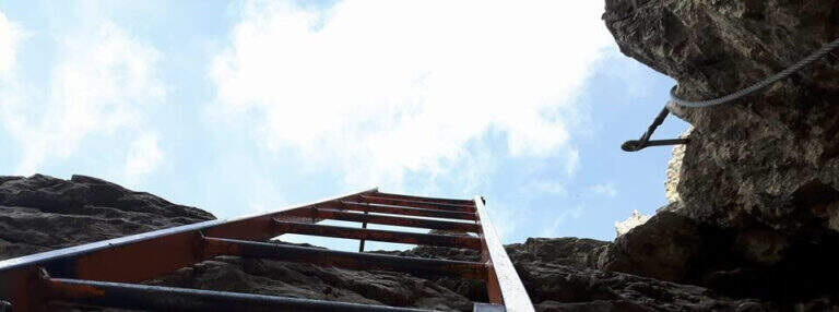
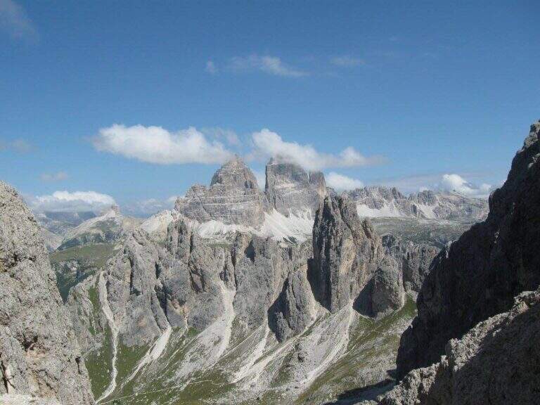
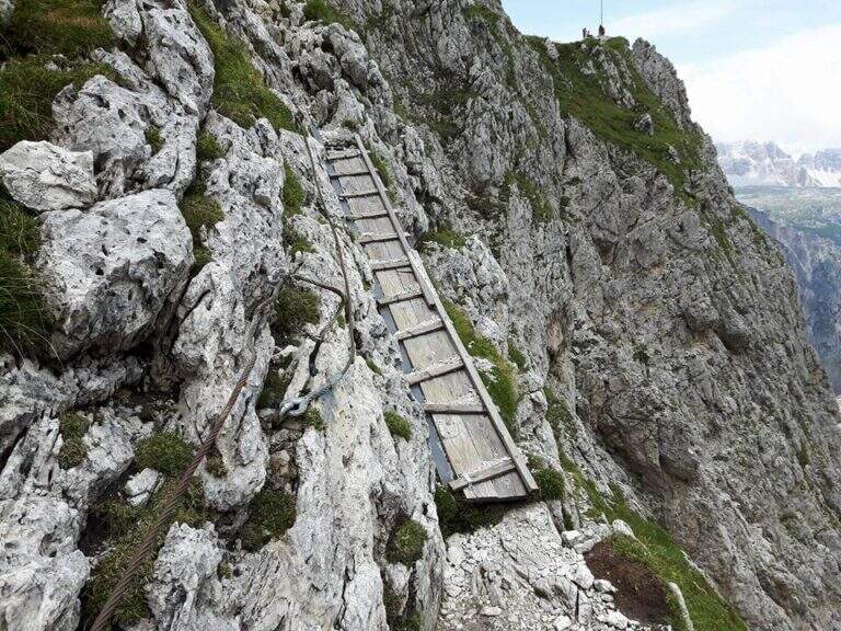
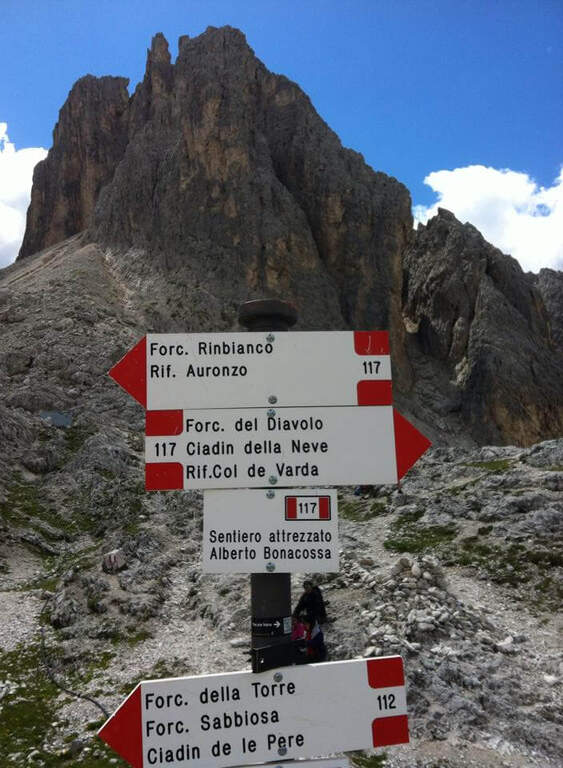
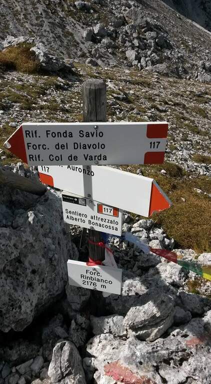
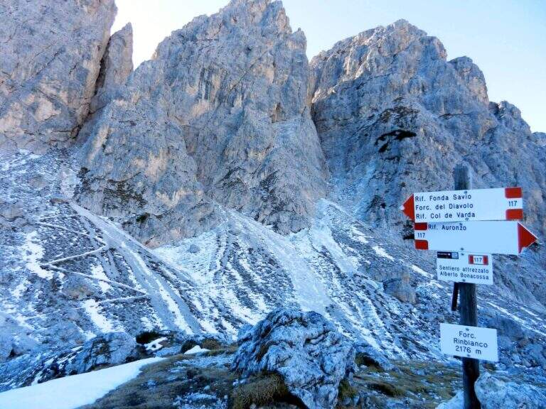
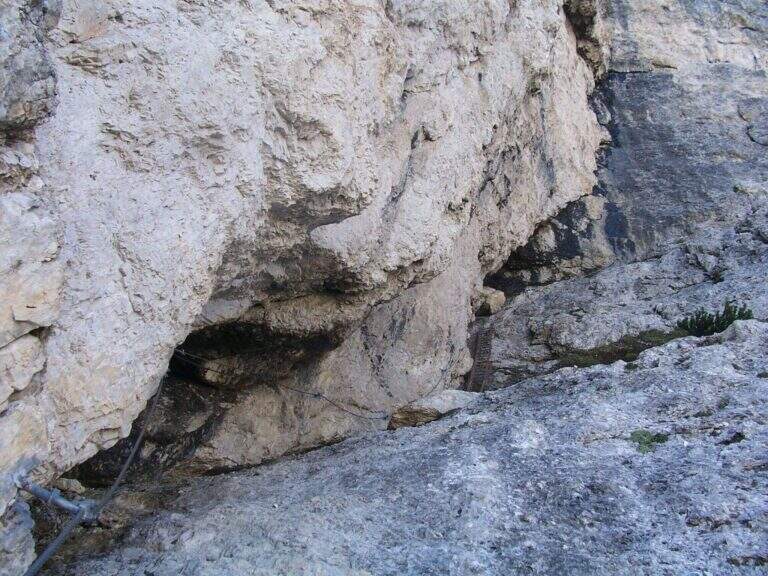
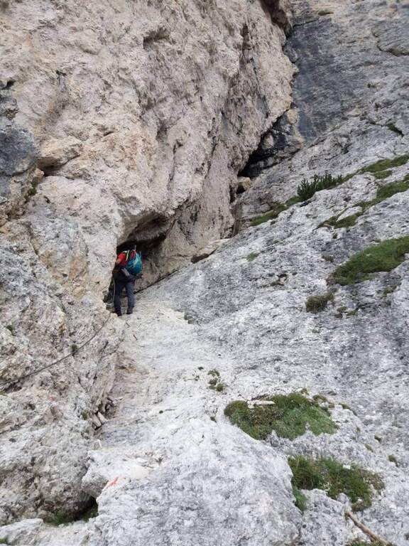
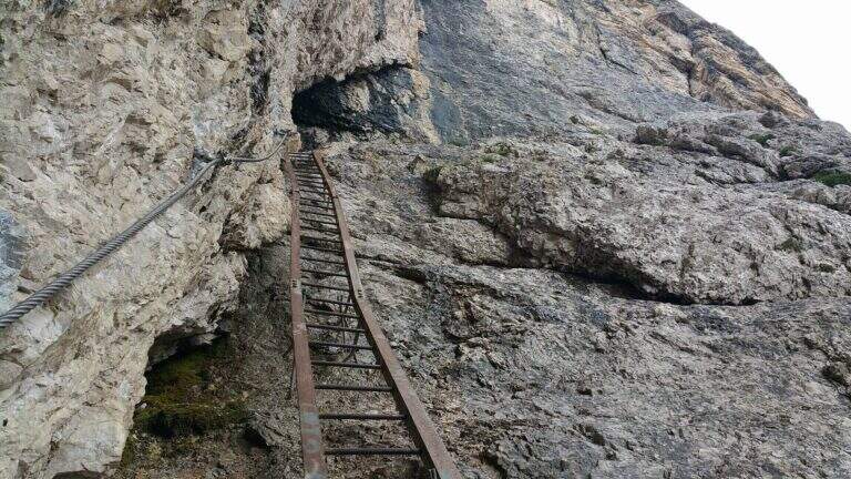
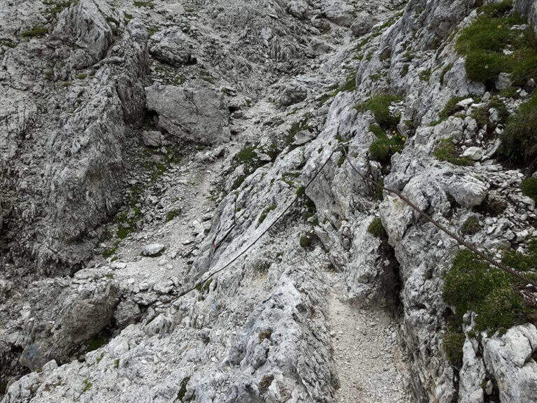
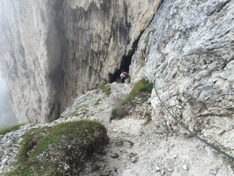
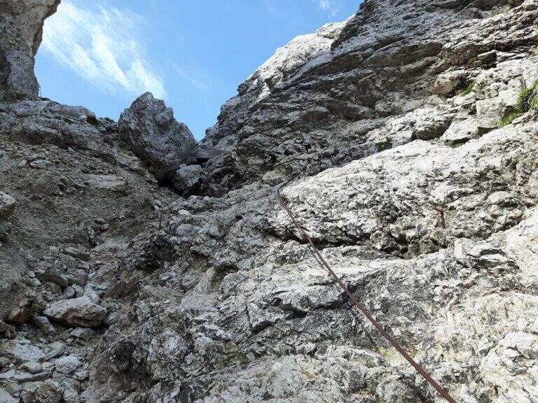
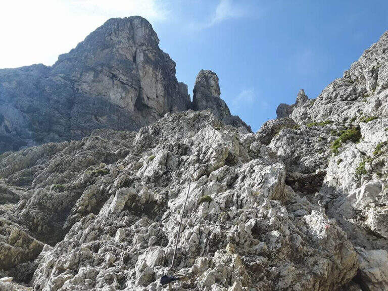
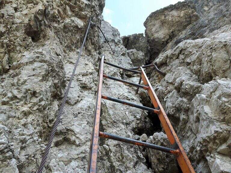
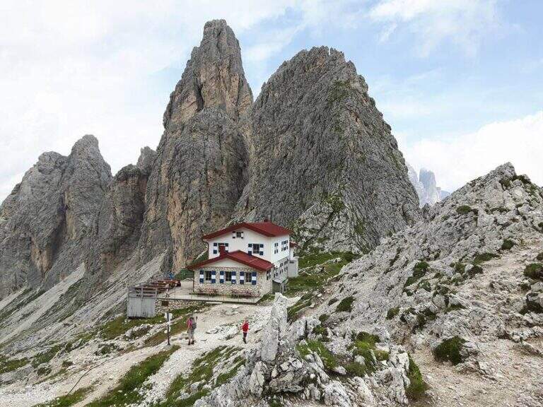
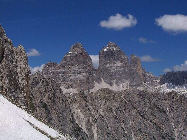
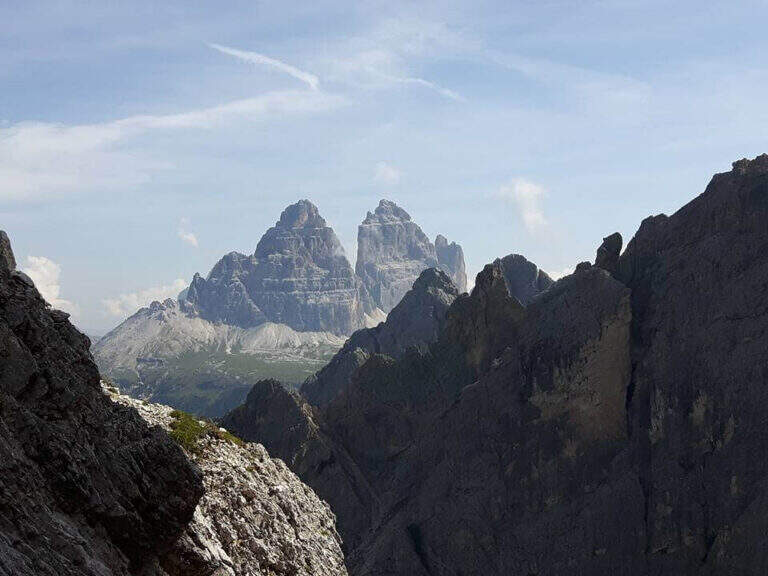
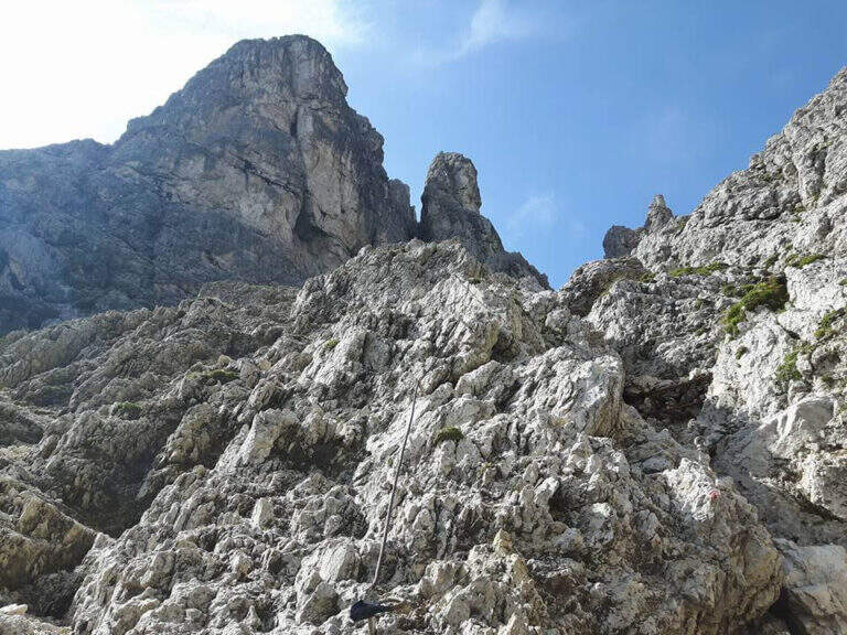
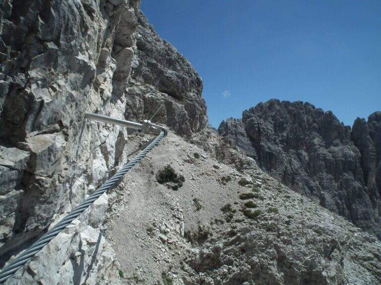
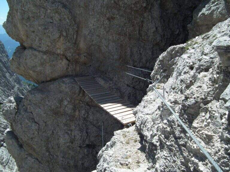
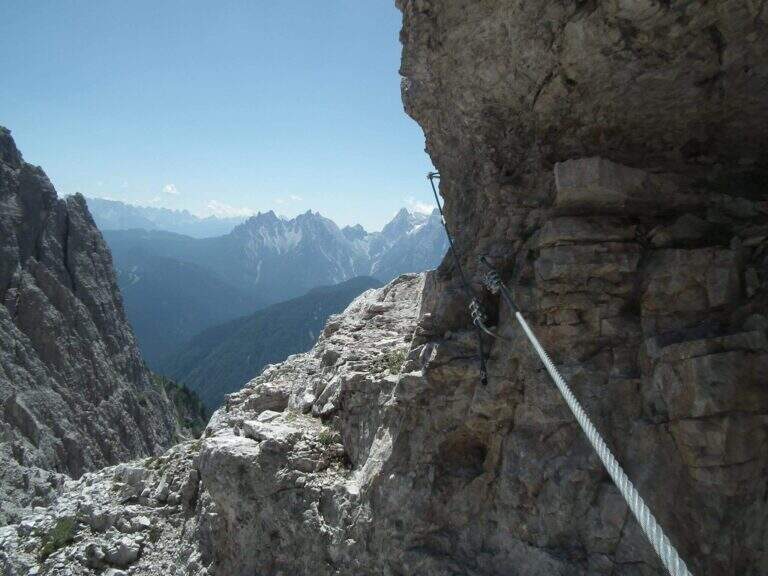
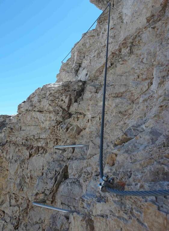
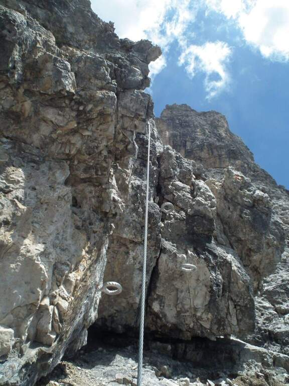
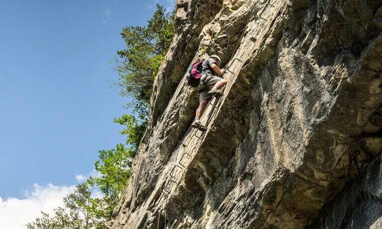
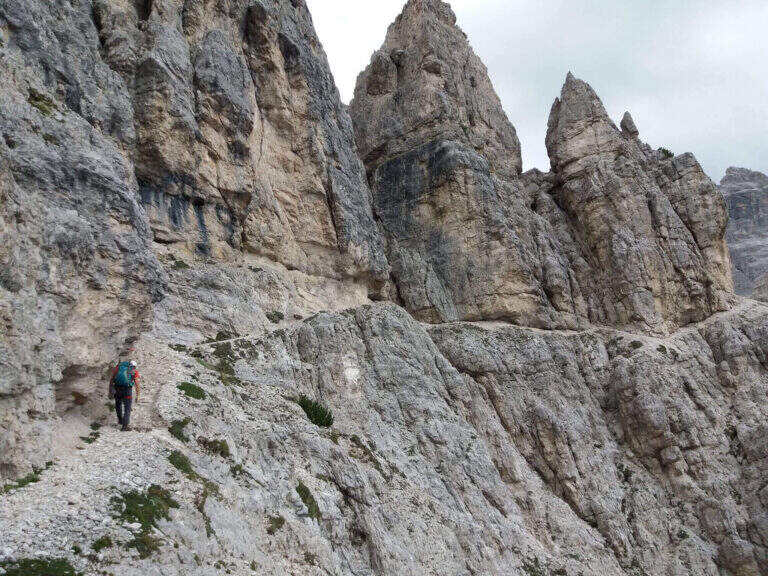
    From the upstream station (Rifugio Col de Varda) the metal plate marks the beginning of the mark 117 north. Following radi red boils rises, first half-coast then steeper, towards the Misurina Fork (2395 m, 45' from the station), going up a detritic canal on the right side to stretches equipped with rope ( steep and tiring, with wooden frames in support of the bottom). NB: questo tratto è quello interessato dalla frana del 2017 (vedi avviso). Dalla forcella si scende ripidamente lo stretto intaglio in un canalino detritico, aiutati da corde metalliche su un paio di balzi verticali e un traverso a destra, e si attraversa un foro nella roccia attrezzato con fune e gradini artificiali, fino al Ciadin della Neve (2250 m, 1h 30' dalla stazione), dove si incrocia il sentiero 118. Restando sul 117 si risale ripidi verso nord-est: due scalette metalliche superano due salti rocciosi, poi si piega a destra salendo la parte alta del canalino, instabile negli ultimi metri, fino alla Forcella del Diavolo (2380 m, circa 2h 15'). Si scende ripidi sulla destra di un ghiaione (possibile neve a stagione inoltrata) fino al Rifugio Fonda Savio (2367 m, circa 3h), crocevia dei Cadini da cui parte verso sud l'attacco dell'aerea Ferrata Merlone. Dal rifugio il 117 prosegue a nord: un tratto ripido con passaggi attrezzati, un canalino attrezzato e una cengia con passerella in legno riportano verso il Ciadin della Neve; ignorata la deviazione per Forcella Sabbiosa (sentiero 112) si raggiunge Forcella de Rinbianco (2176 m, 3h 30'), dove si tiene la destra verso il Rifugio Auronzo. Segue una cengia panoramica, a tratti esposta e attrezzata ma non difficile, sopra la Val de le Cianpedele; superata una passerella e alcuni resti della Grande Guerra, a un bivio si lascia il Sentiero Durissini e si resta sul 117 a sinistra in salita. Si aggira la parete orientale del Ciadin delle Bisse con roccette, una rampa diagonale (cavo a sinistra) e una scaletta appoggiata; i passaggi non sono difficili ma il fondo è spesso umido, quindi conviene assicurarsi. Una serie di cenge e brevi canalini franosi, sempre attrezzati nei punti più esposti, costituisce il tratto più adrenalinico fino a una forcella (2300 m, 4h 30') che scavalca dal versante est a quello ovest, con le Tre Cime di Lavaredo di fronte. Dopo l'ingresso di una galleria (facoltativa, aggirabile per sentiero) si raggiunge il Rifugio Auronzo (2320 m, 5h 15').

    ▲Character and difficulty

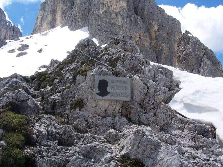
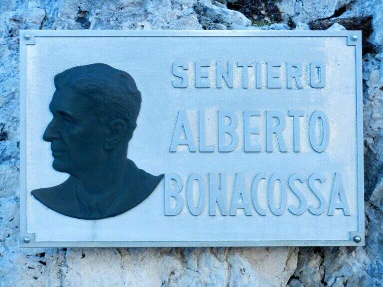
    The equipped sections are without technical difficulties and most useful as handrail; the pitfalls are the length, the numerous ups and some sections exposed (especially by Forcella de Rinbianco), however always well equipped. Itinerary dedicated to Alberto Bonacossa, a multifaceted sports and military figure of the first half of the twentieth century.

    ⚠ Attention to nevai also present in late season, especially in the valleys; the wet bottom of the cenges requires caution. Remember the closure of the stretch of Forcella di Misurina (frana 2017).

    ▲Discipline

    From the refuge Auronzo, the return to Misurina takes place by bus or following the tourist trail 101, in constant and never excessive slope, up to Lake Misurina in 1h 30' (about 7h overall).

    ▲To match

    From the Rifugio Fonda Savio you can turn south to Ferrata Merlone. From the refuge Auronzo you climb to Monte Paterno for the Ferrata Innerkofler-De Luca, or Toblin Tower for Ferrata delle Scalette e la Ferrata Hosp. From Lake Misurina you can reach the itineraries of Cristallo, including the Ferrata René De Pol e la Ferrata Capitano Bilgeri monte Piano.
    ▲Gallery
    Technical data
    • DifficultyModerately Hard
    • RegionVeneto
    • ProvinceBelluno
    • GroupCadini di Misurina
    • Approach5 min (with chairlift)
    • Equipment5h 15'
    • Complete itinerary7h
    • Level difference100 m
    • Route difference624 m
    • Maximum2495 m
    • Length17,5 km
  • Ferrata Severino Casara (Croda dei Toni)

    Ferrata Severino Casara (Croda dei Toni)

    Vie Ferrate › Trentino-Alto Adige › Bolzano
    Ferrata Severino Casara (Croda dei Toni)

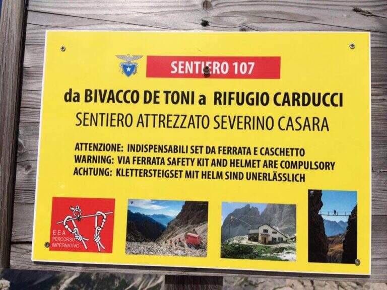
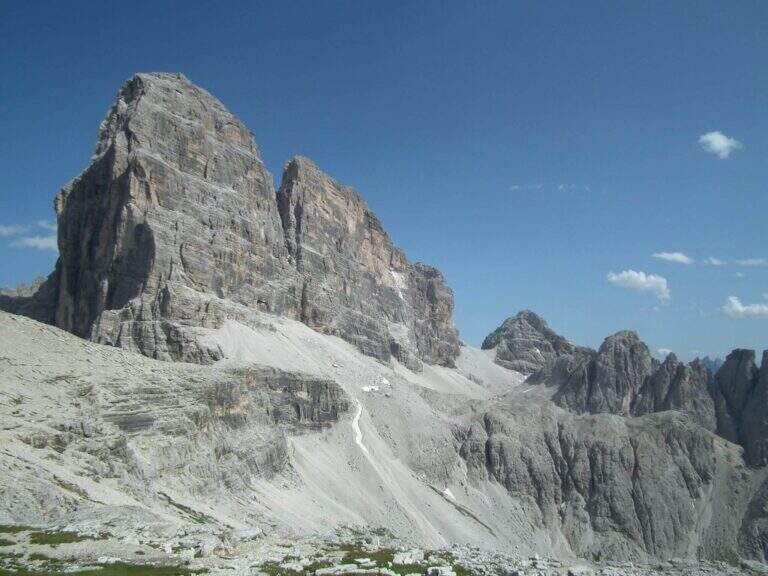
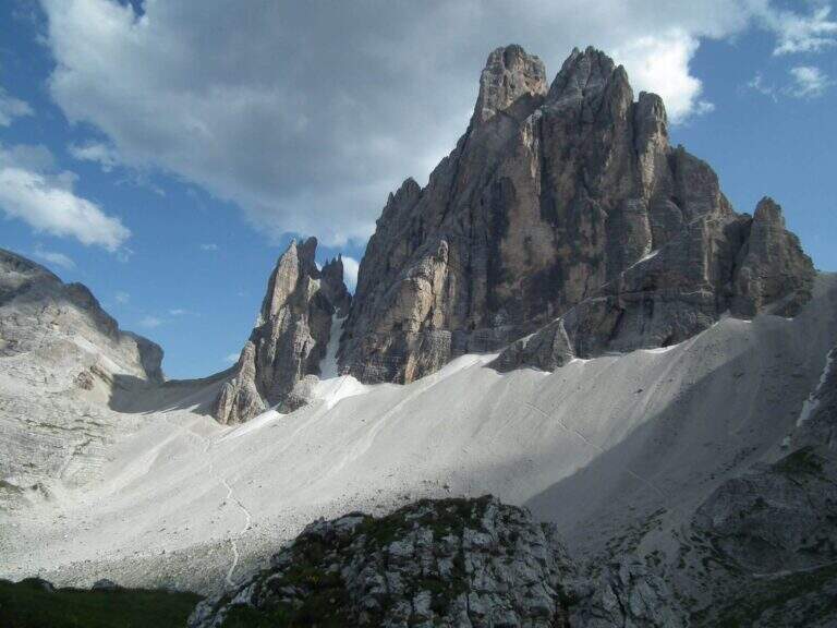
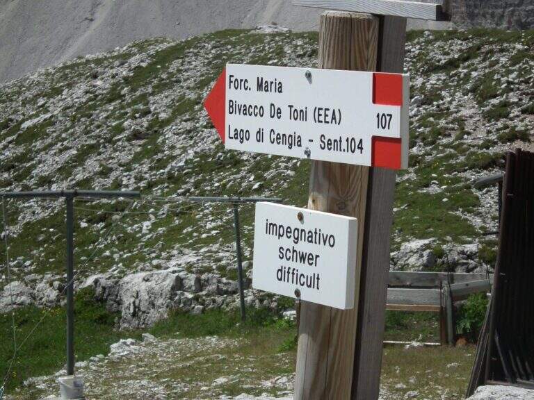
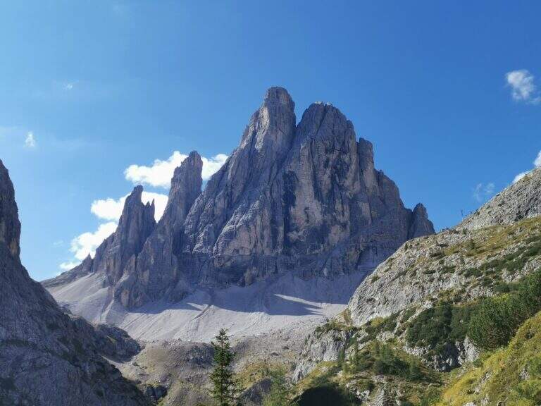
    La Ferrata Severino Casara (sentiero 107) connects the eastern side with the western side under Cima Twelve (Croda dei Toni), in the Dolomites of Sesto. È a route d' high mountain very challenging and tiring if route in the day (about 19 km, 10 hours, altitude difference 1350 m), exposed but without difficultà remarkable techniques in the equipped sections, in a spectacular environment in the presence of some of the pi&grave Dolomites peaks; Ardite.

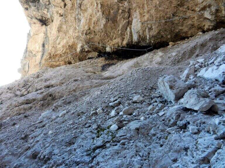
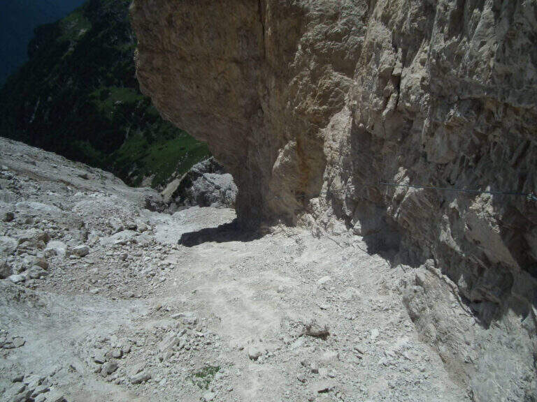
    : Notice: A big landslide detached from the Witzenmann Tower in 2017 hit the last few meters of ferrata towards the Forcella de l'Agnel, making the formally unable. The section è only was put partly in safety with mountaineering ropes: the deviation è difficult and requires experience, not to be underestimated. Before you start checking out l' effective forcorribilità contacting Rifugi Comici e Carducci.
    ▲Approach

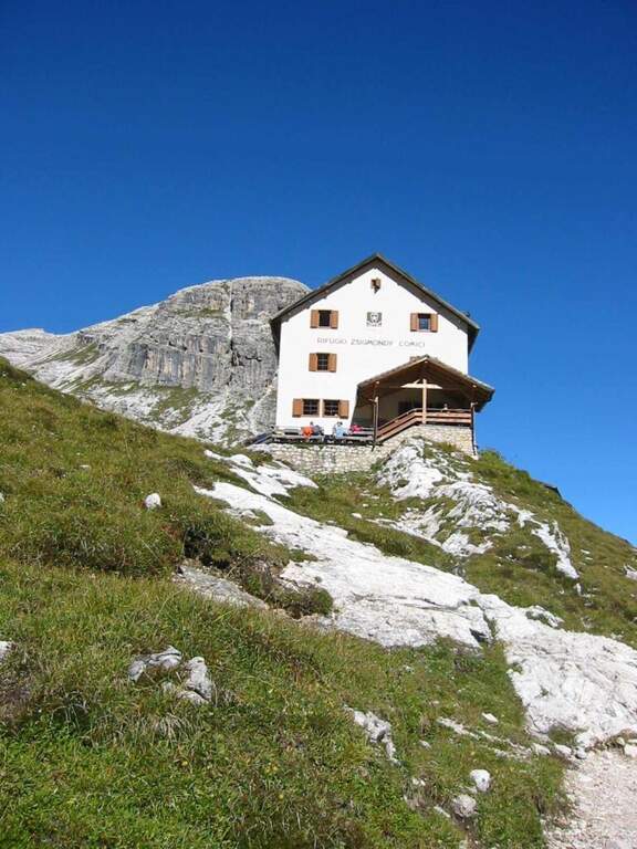
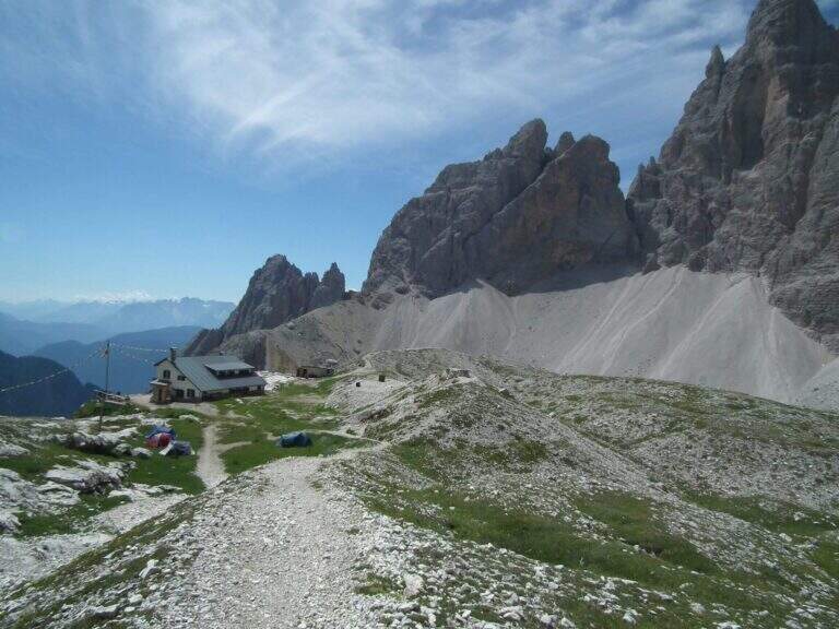
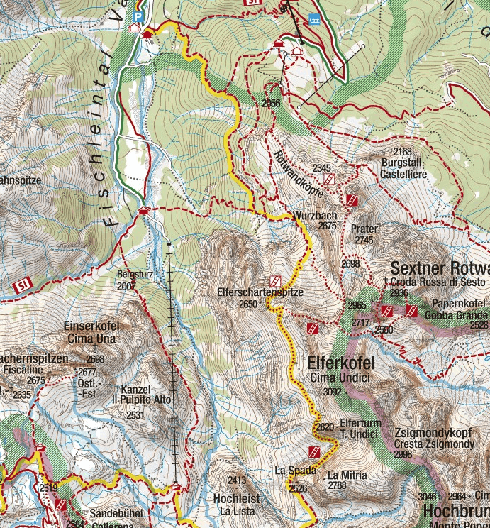
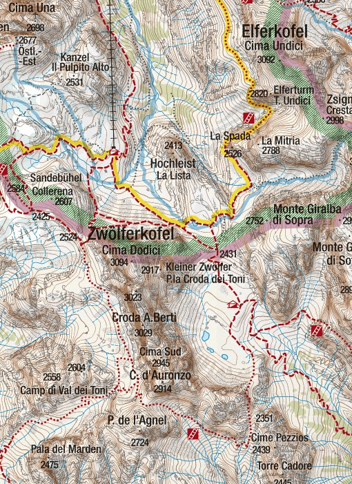
    Starting point l' Hotel Dolomitenhof in Val Fiscalina (1454 m), reachable from Moso in Val Pusteria. Open road signs on Google Maps. Follow the 102 road towards the south to the Rifugio al Fondo Valle (1548 m, 30'); continue on 102 towards the south-west and at a crossroads take the left on the path 103 towards the Rifugio Comici, constantly climbing the left of the Val Fiscalina Bassa (on the opposite side you can see the ridge of the Strada degli Alpini) up to the Rifugio Comici (2224 m, 2h 30' from the parking ). Continue on the 103 south, with the north wall of the Croda dei Toni in front, up to Forcella Giralba (2431 m); descend to the detritic valley at the Rifugio Carducci (2297 m, 3h 30' totali), start of path 107 «Sentiero Attrezzato Severino Casara».

    ▲The path

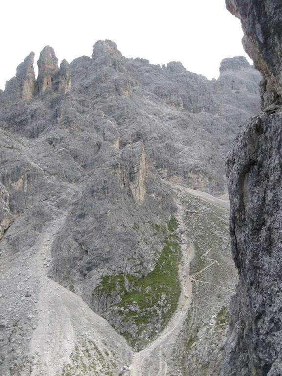
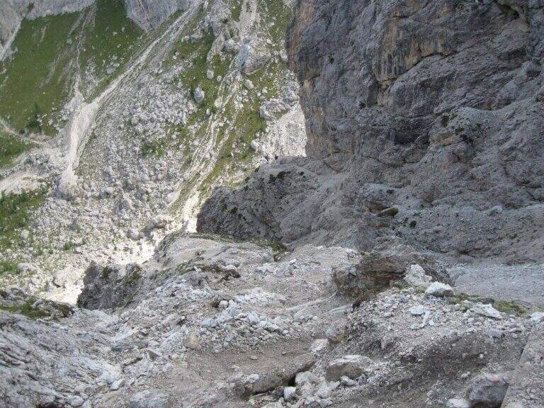
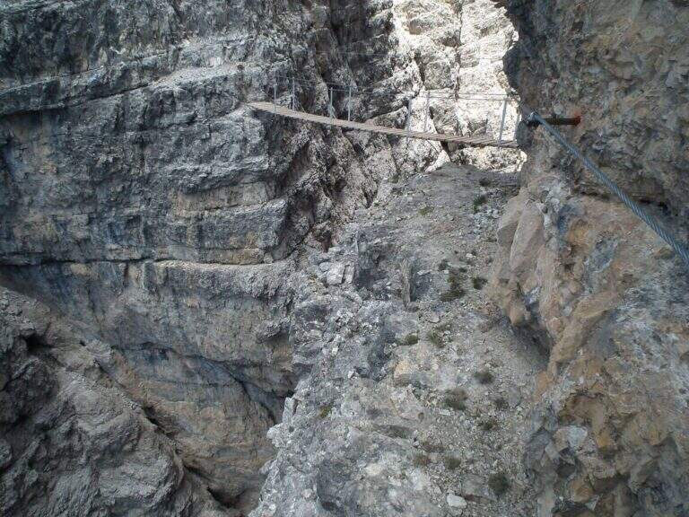
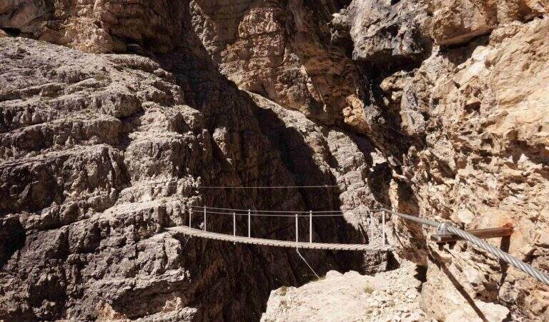
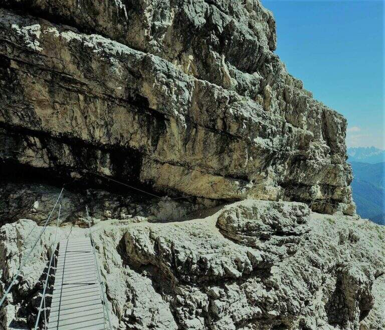
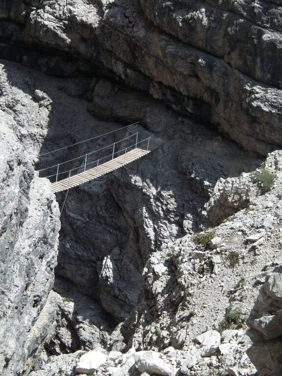
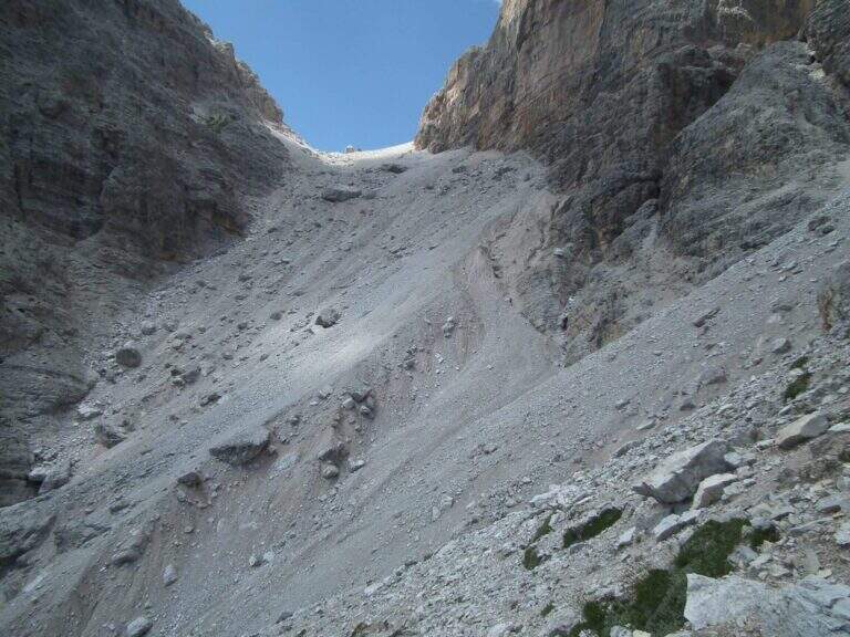
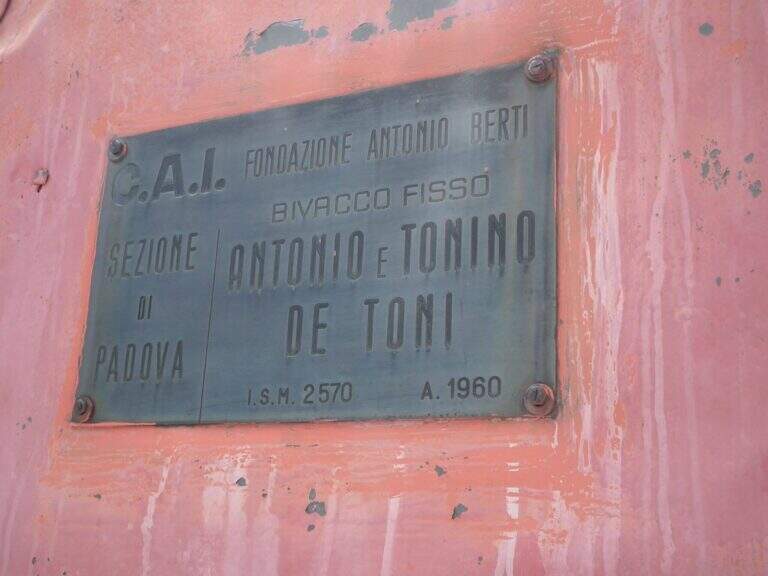
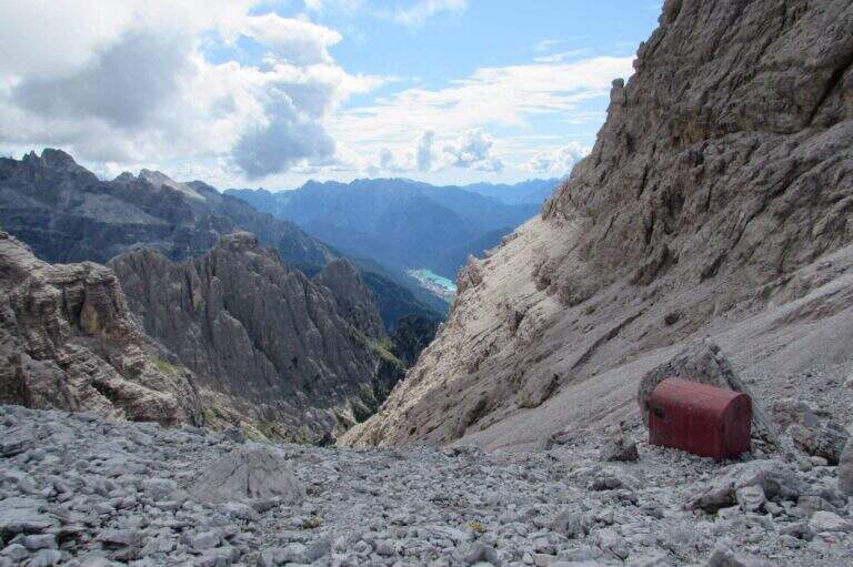
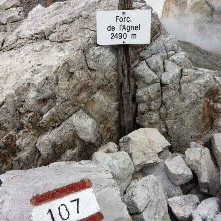
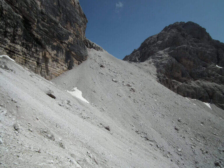
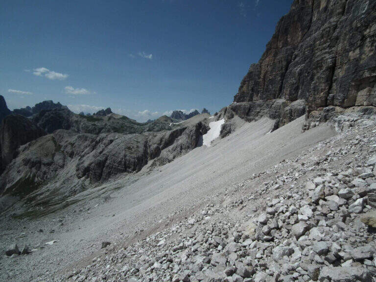
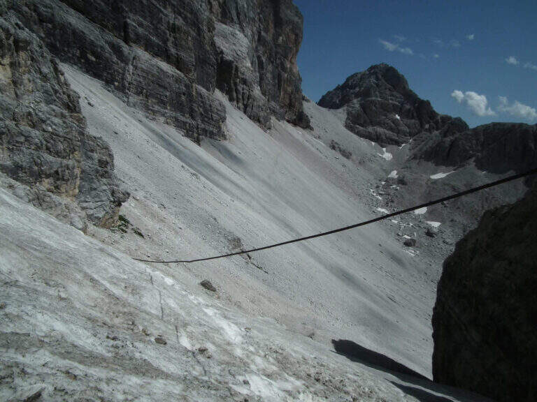
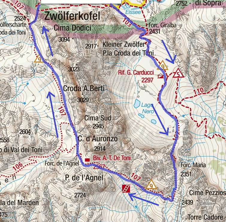
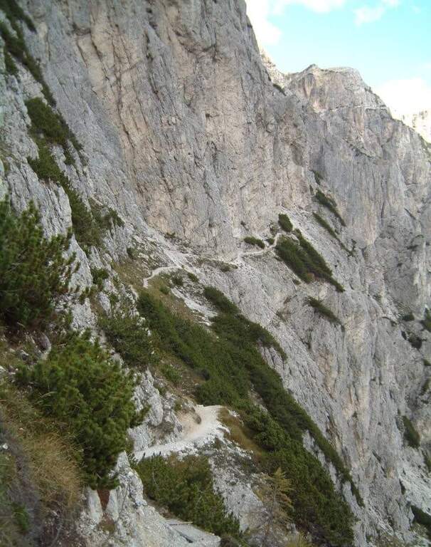
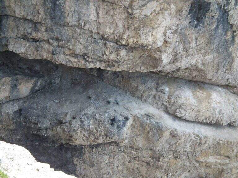
    Poco sopra il Rifugio Carducci iniziano le attrezzature. Si percorre un'esile cengia su fondo detritico lungo la parete sud-est della Croda dei Toni, alternando tratti attrezzati e sentiero, fino al bivio di Forcella Maria (2351 m, 45' dal rifugio) tra il vecchio 107 (chiuso per frane) e la via ferrata. Un traverso esposto ma non difficile porta a un primo ponte sospeso (fune a sinistra, ampie traversine di legno); si prosegue in orizzontale aggirando uno spigolo su cengia, con qualche balzo attrezzato con staffe e cambre. Verso metà itinerario si aggira lo spigolo sud e si procede verso nord-ovest su cengie esposte sulla Val Gravasecca, alternate a tratti di sentiero anche non attrezzato su terreno friabile. Sotto un caratteristico tetto roccioso si trova il passaggio chiave: in forte esposizione si raggiunge un angusto passaggio da fare a carponi (Passo del Gatto), scomodo ma non difficile. Oltre il tetto, roccette e una nuova cengia; la ferrata svolta a destra risalendo roccette arrampicabili, poi entra in una gola fino a un secondo ponte sospeso, più esposto del primo, con un salto di un paio di centinaia di metri sotto. Si sale un breve salto con due pioli e si esce dalla gola su cengia; un tratto in discesa su fondo instabile porta verso il canalone. Qui il percorso compie attualmente una deviazione con corde alpinistiche verso l'alto per aggirare la frana del 2017: tratto difficile, da non sottovalutare. Risalito il ripido ghiaione, con radi segni bianco-rossi, si raggiunge il Bivacco De Toni e poco oltre la Forcella de l'Agnel (2490 m, 2h 30' dal Carducci, 6h totali). Per chiudere l'anello verso il Rifugio Comici si attraversa a mezzacosta la parete occidentale della Croda dei Toni: si scende un ripido canalone franoso, si prosegue a mezzacosta ignorando le tracce che scendono verso Giralba, fino a un'insellatura dove, secondo la stagione, è presente un nevaio assicurato da una fune; si risale la sella detritica e, per cengia e cresta, si raggiunge la Forcella dei Toni (2524 m, 1h da Forcella de l'Agnel, 7h totali).

    ▲Character and difficulty

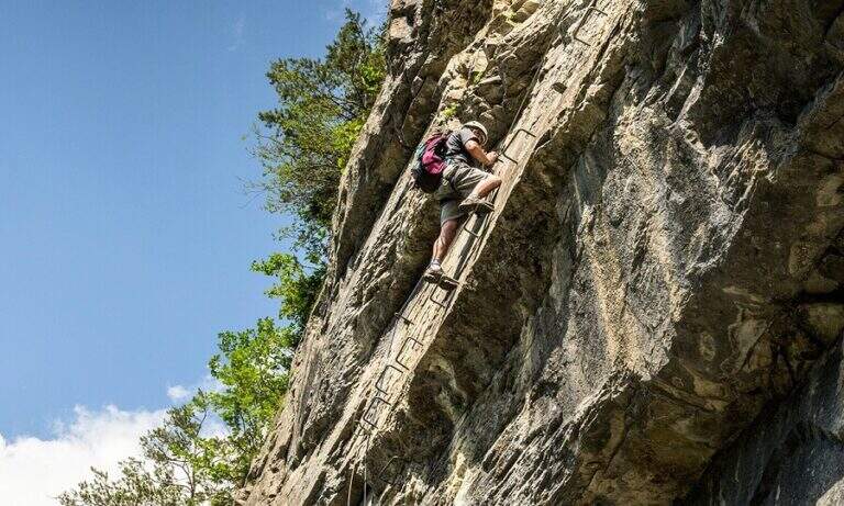
    Recent and well maintained equipment. The route does not offer technically difficult passages, but the high mountain environment, exposure, length and altitude difference make it very challenging. It is advisable to walk in this direction to face uphill the steep and slippery stretch between the end of the ferrata and the Forcella de l'Agnel.

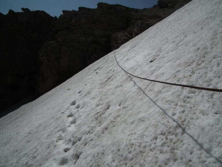
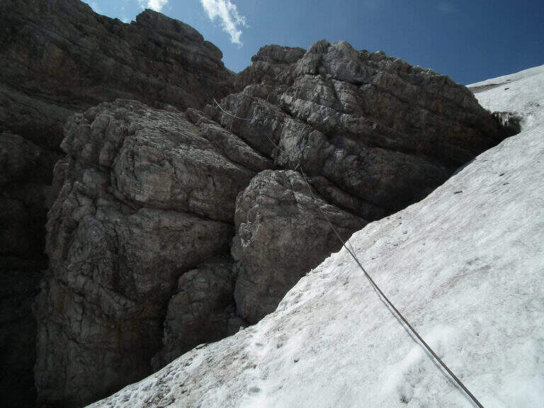
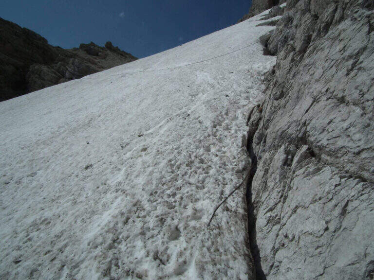
    ⚠ With fog or low clouds, be careful to identify the attack of the ropes that help to overcome the snow between Forcella de l'Agnel and Forcella dei Toni, also present in late season: the rope assures it, but for greater safety it can be possible to have with it the ramps.

    ▲Period and safety

    GPS tracks (GPX and KMZ) are available; the 4Land Dolomites map is useful for the area. Always check the status of the route with the Comic Refugees and Carducci.

    ▲History

    The ferrata, which connects the Rifugio Carducci with Bivacco De Toni, was inaugurated in 2015 and is dedicated to the alpinist Vicentino Severino Casara, a controversial figure but very great mountaineer of his time: he climbed in rope with Comici, opened over 300 routes, he was writer and director.

    ▲Discipline

    From Forcella dei Toni begins the long descent: you descend on the gravel to the right under the northern wall of Cima Twelve, you ignore two tracks eastward, you pass under the ramparts of the Collerena and, halfway, you reach the Rifugio Comici; from here to back on 103 until the parking lot (3h from Forcella dei Toni, 10h totali).

    ▲To match

    From Rifugio Carducci you can continue towards Ferrata alla Cengia Gabriella e la Ferrata Roghel; beyond Ferrata Zandonella to the Red Croda of Sesto and the Red Croda Costumes. From the Rifugio Fondo Valle, along the Val Sasso Vecchio, you can reach the Ferrata Hosp at Toblin Tower e la Innerkofler at Mount Paterno.
    ▲Gallery
    Technical data
    • DifficultyHard
    • RegionTrentino-Alto Adige
    • GroupSesto Dolomites
    • Approach3:30 h
    • Ferrata3:30 h
    • Itinerary (a/r)10:00 h
    • Hardware level difference260 m
    • Route difference1350 m
    • Max2556 m
    • Length19 Km
Need help? Write to us!