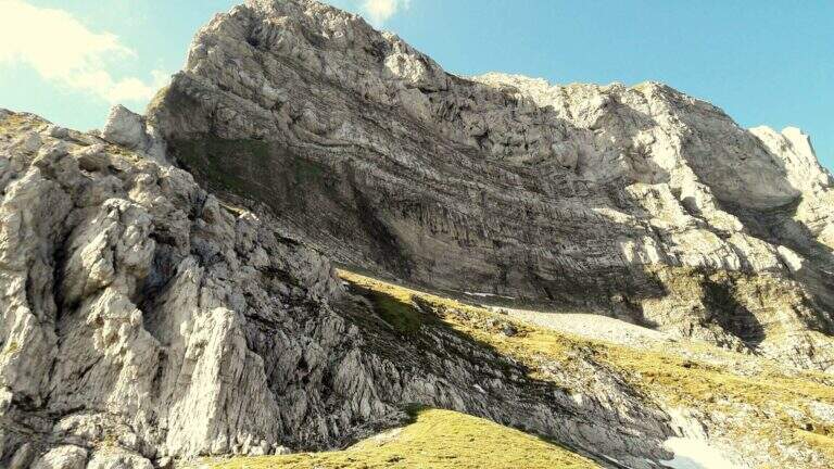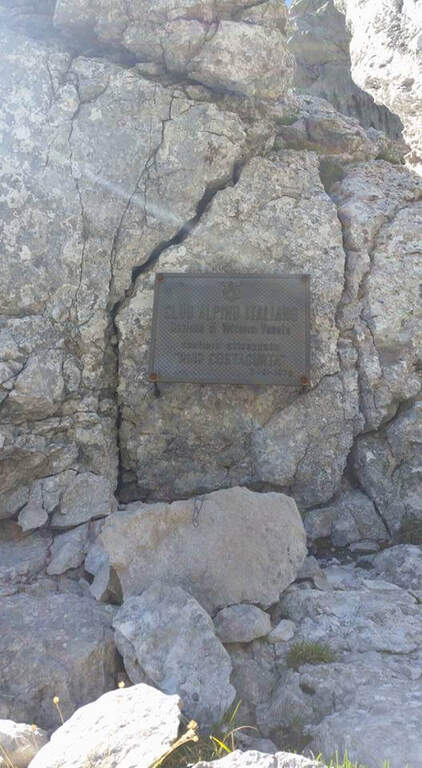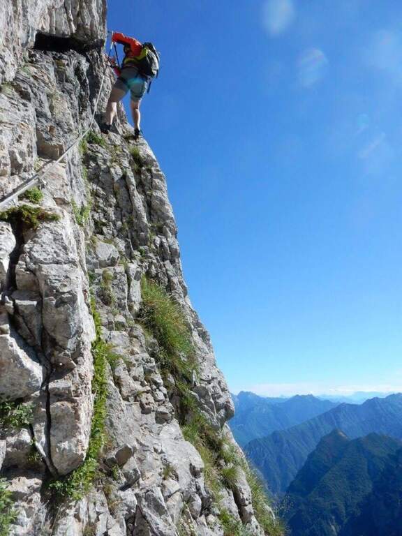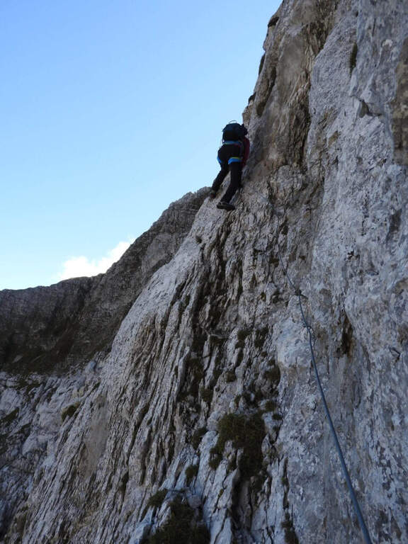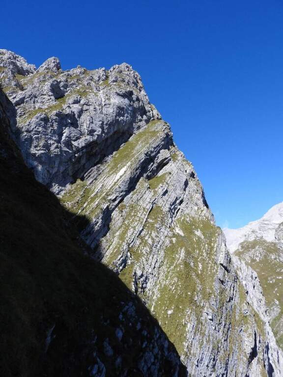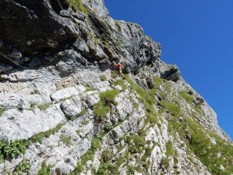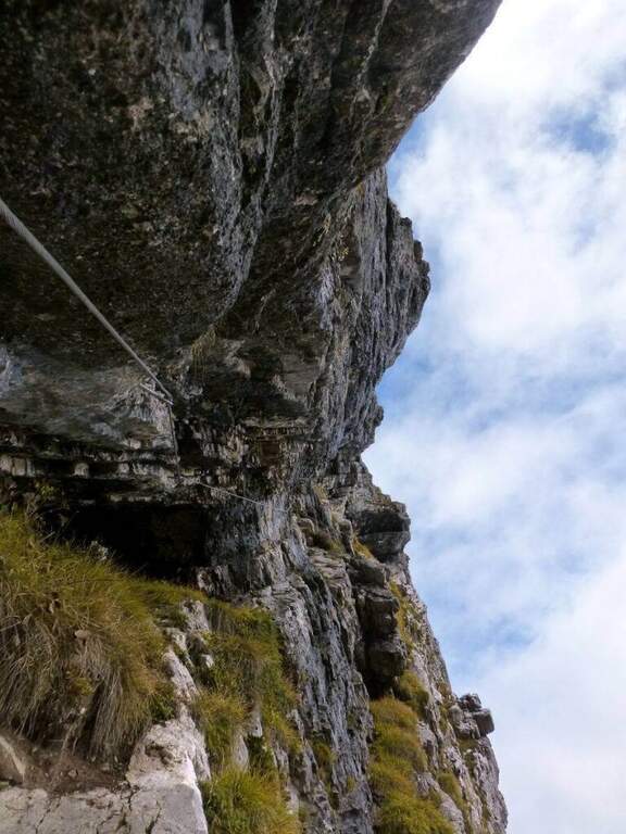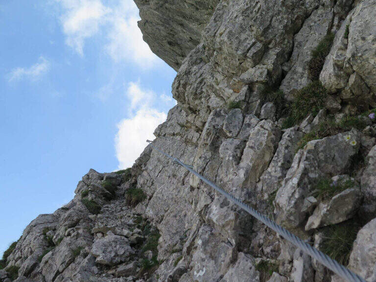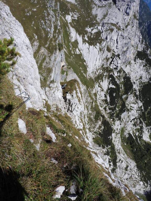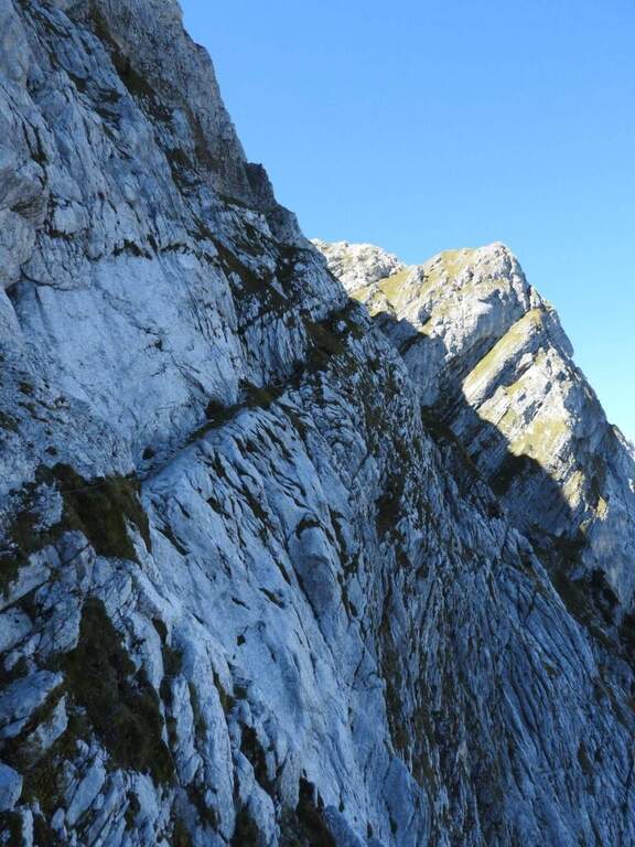
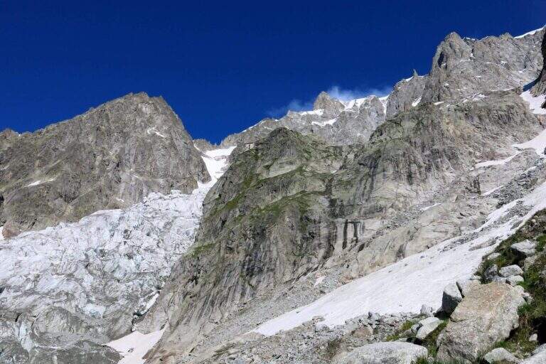
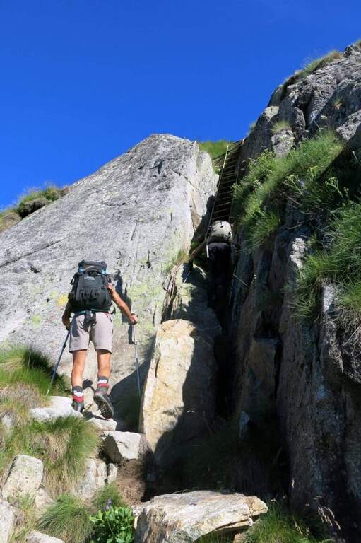
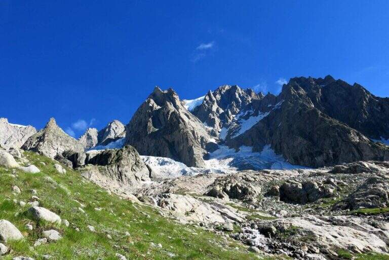
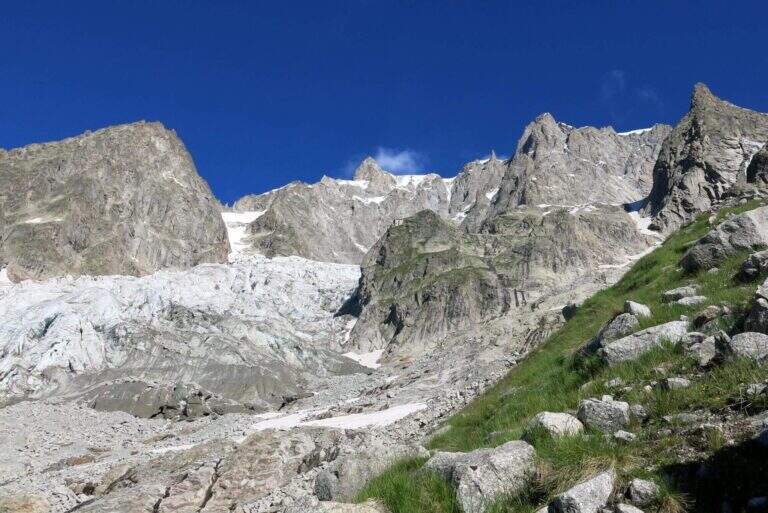
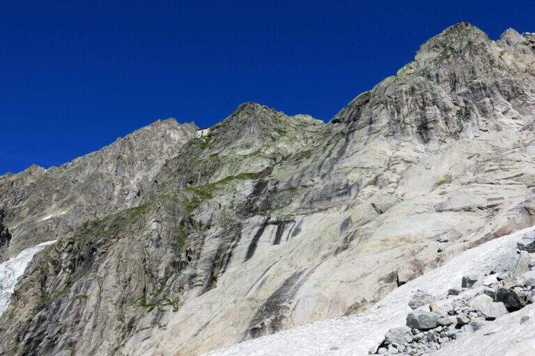
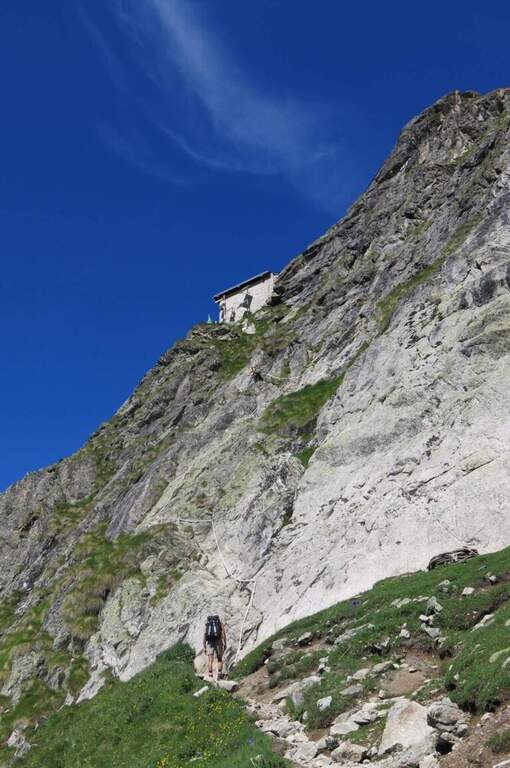
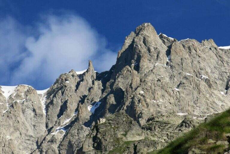
The ascent to the Bivacco Boccalatte-Piolti, at the foot of the Grandes Jorasses in the group of Mont Blanc, & a long and challenging itinerary, with considerable difference in altitude and some not always easy. The part with fixed protections (bridges and stairs) covers about 200 meters and ` only a component of un' hike with a strong alpine character.
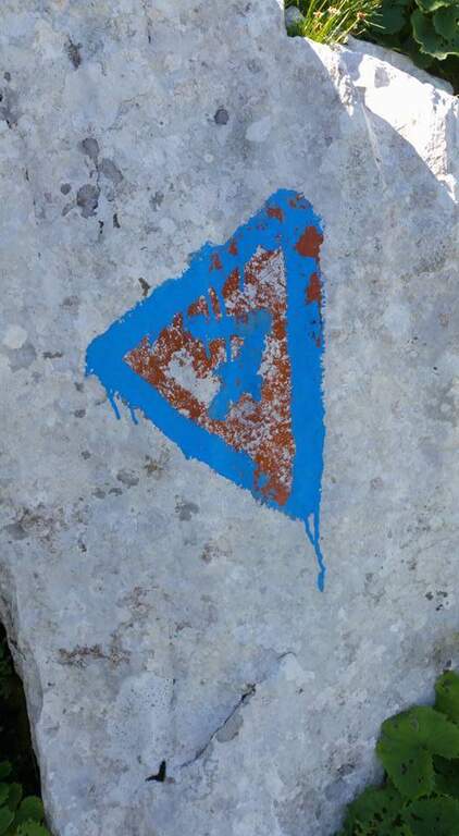
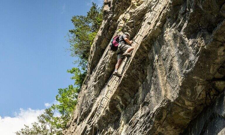
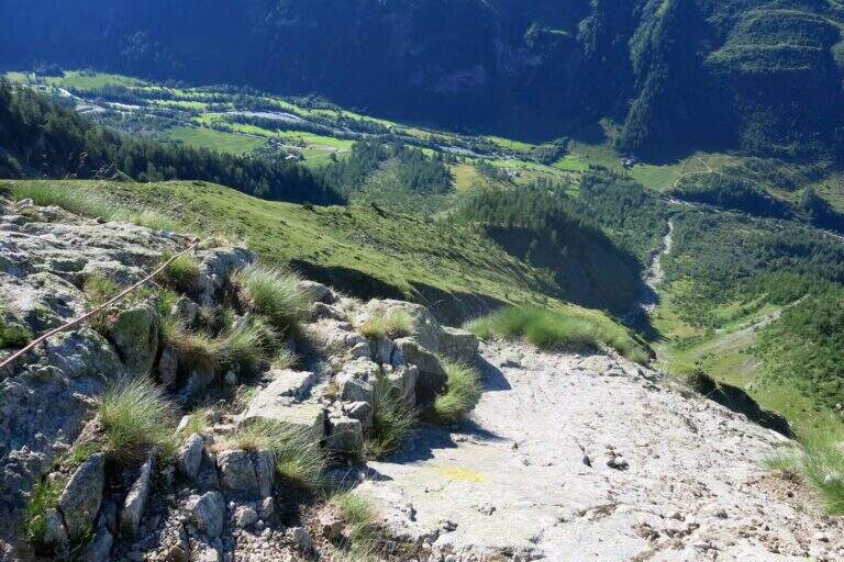
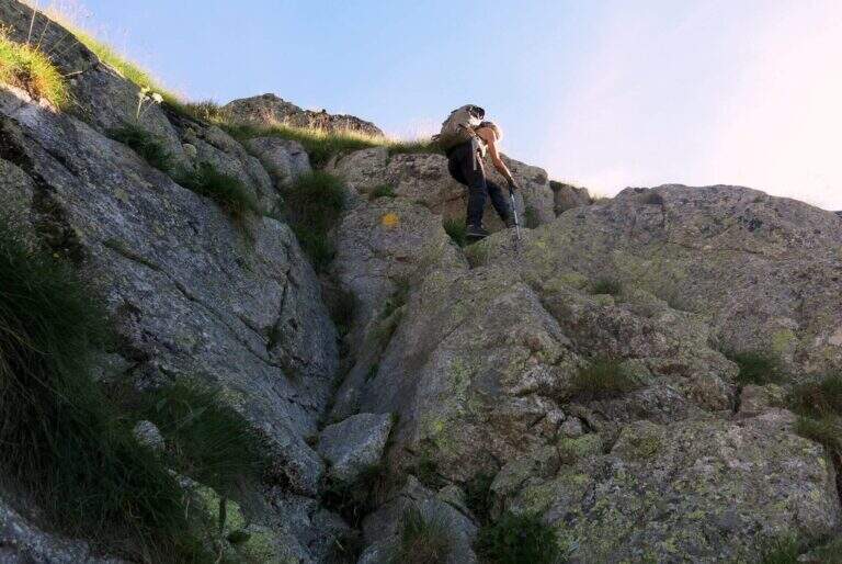
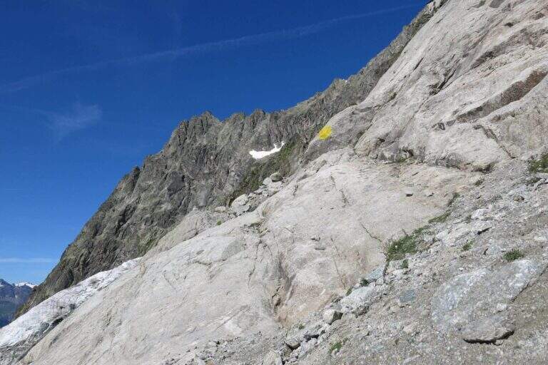
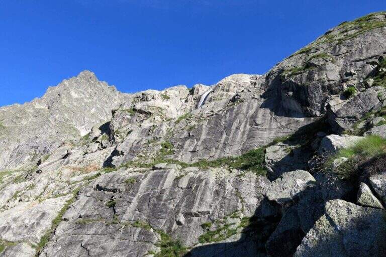
Starting point & free; Planpincieux, a fraction of Courmayeur (Aosta): turn towards the center of the village, where c' ` a wide deck to park, and follow the signs of the sentiero 21 at l' hotel-restaurant Miravalle. Open road signs on Google Maps. The first hour & quiet, first in the woods then on the meadows with incredible views of Mont Blanc and Grandes Jorasses; after about one' now we face due guadi climbing up the walls of a stream. Then a placconata is very steep with passages of I and II degree (not always stable and slippery if wet); following the yellow signs and a few short stretches equipped you reach a wire scale that exceeds a leap of 20 meters (1h 30' from the parking lot). Continue to zig-zag on a morainic crest and, after about one' now, turn left through a nevaio to the rocky bastion above which rises the bivouac.
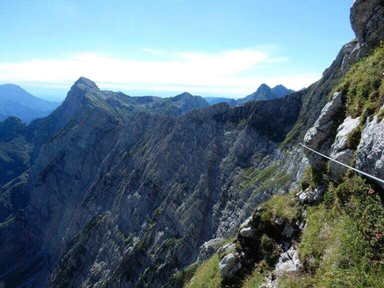
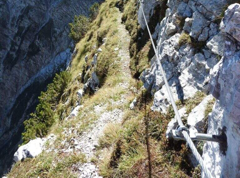
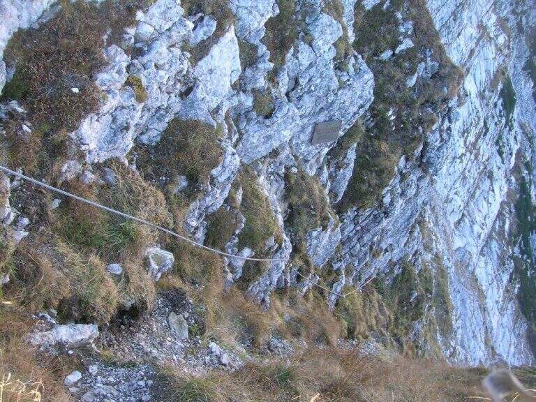
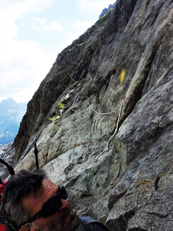
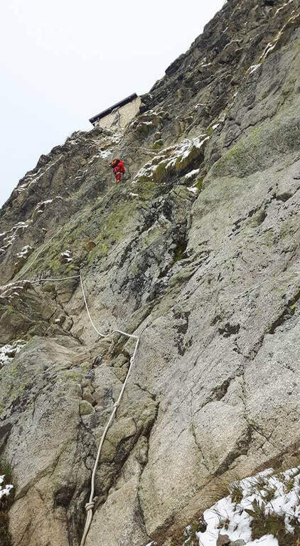
Climb on rock sections helped by grossi canaponi which cut to the left; follow the fixed ropes up to a pulpit and then, on air route, up to the balcony on which è built the Bivacco Boccalatte-Piolti (30' from the strike, 3h 30' from the parking lot È you can continue beyond the refuge on fixed ropes until you reach the glacier.
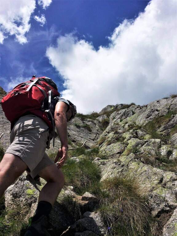
Itinerary for experienced hikers: the difficulty lies in the difference in altitude, in the guds, in the rock passages of I-II degree and in the mountain environment at the base of one of the most challenging climbs of the Alps.
You descend along the same climb route (about 3h).
For the length does not match other routes in the same day, but in the area there are the Sentiero Attrezzato al Rifugio Dalmazzi, la Ferrata al Bivacco Borelli, il Sentiero al Mont de la Brenva e la Ferrata at Monzino Refuge.
- DifficultyHard
- RegionAosta Valley
- ProvinceAosta
- GroupMont Blanc
- Approach3h
- Fully equipped30 min
- Complete itinerary (a/r)6h 30'
- Level difference150 m
- Route difference1224 m
- Maximum2803 m
- Length8,3 km