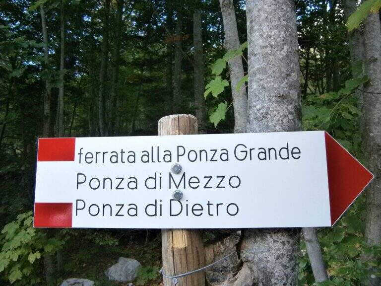
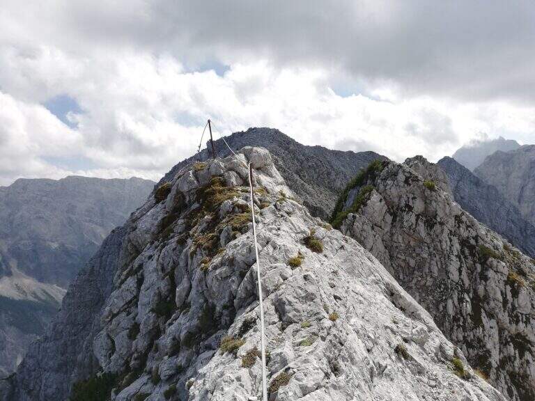
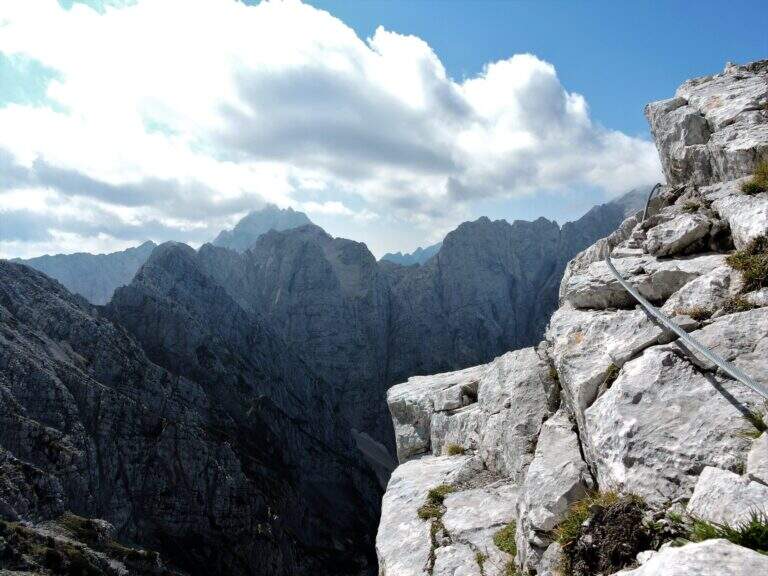
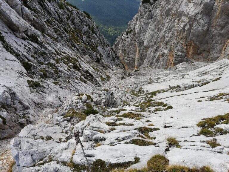
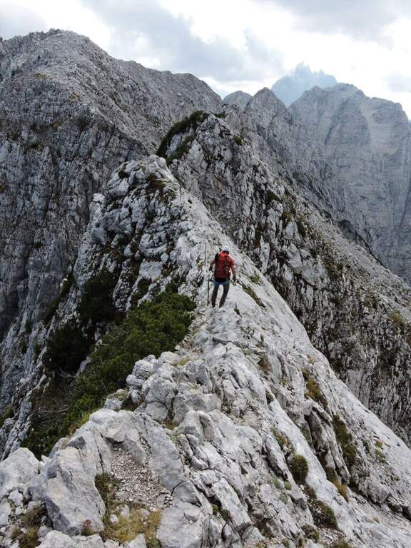
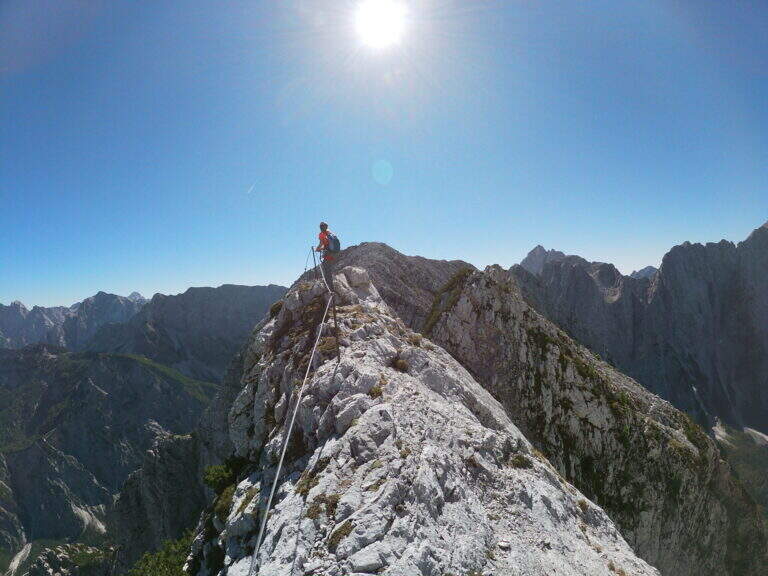
The Ferrata Ponza Grande climbs to the summit of the same name (2274 m) in the Julian Alps, starting from the lakes of Fusine. It is an itinerary of medium technical difficulty that becomes exposed in the stretch of ridge and the descent along the canalone; the panorama on the mountains of the Giulie, both on the Italian and Slovenian side, is magnificent.
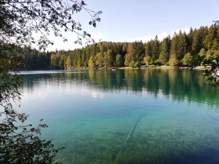
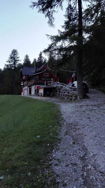
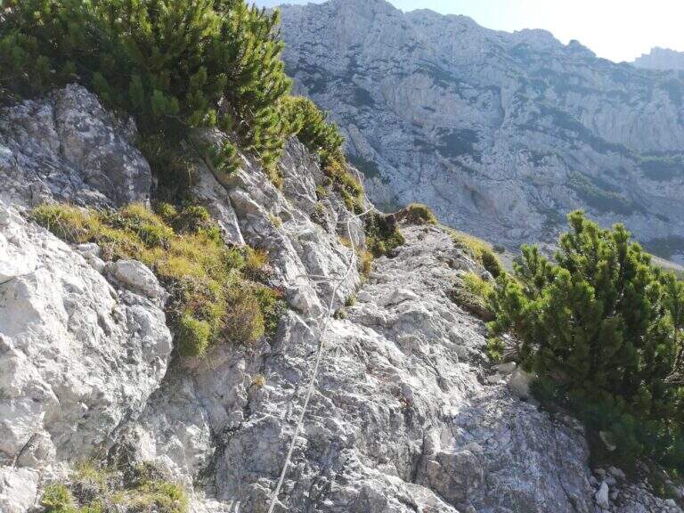
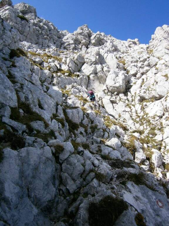
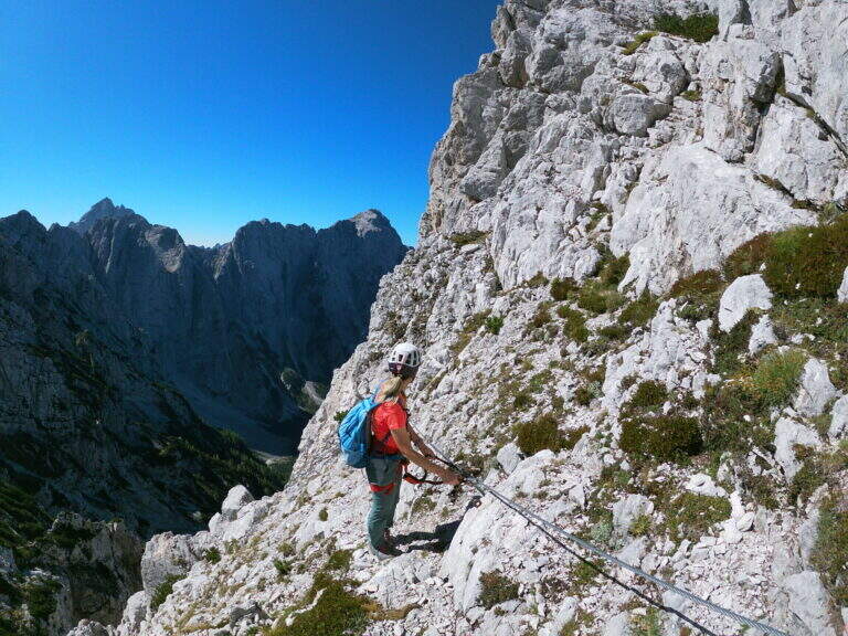
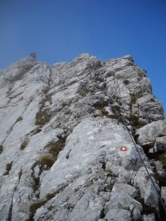
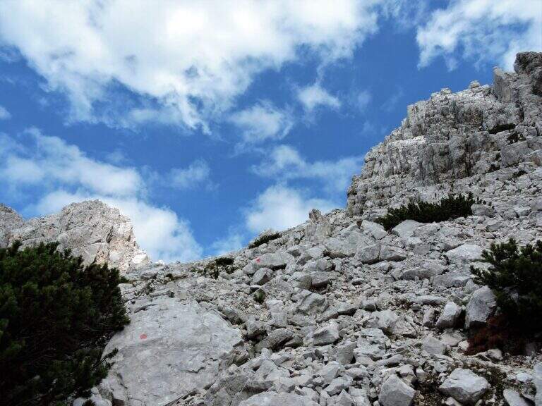
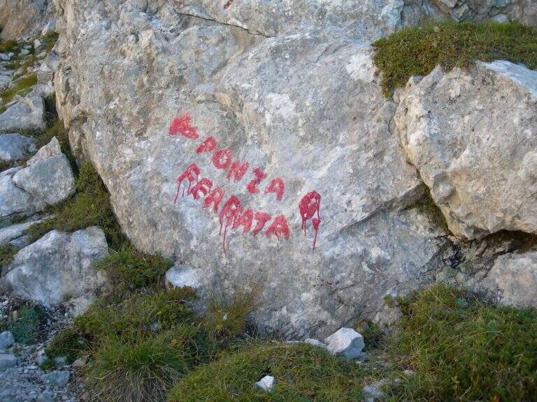
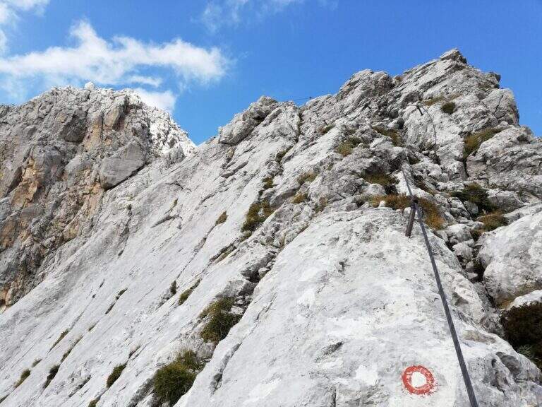
Starting from the parking lot of the lakes of Fusine (Udine): from Tarvisio (exit A23) you reach Fusine Valromana and follow the deviation for the lakes. Starting point on Google Maps. From the parking lot follow the path 512 towards the Zacchi refuge: wide at the beginning along a road, then turn right into the wood and with about 400 m of altitude gain the refuge (1380 m, 1h 15' from the parking lot). From the refuge, crossroads of paths, follow the signs to the east for the Ponza Grande (ferrata already reported) and for the Forca Rossa and the cliff. Exit from the wood you climb on stone between the mughi encountering a first series of not difficult equipped sections; the path becomes then steep, exposed and unprotected (serve foot steady). To a large red stamp on the wall is held the left (on the right the signs for the Ponza di Mezzo); you cross a fragrant colatoio and another stretch equipped while the path tightens, with a last step disturbed by a landslide, up to the attack marked by a red stamp well visible (1h 30' from the shelter, 2h 45' from the parking lot).
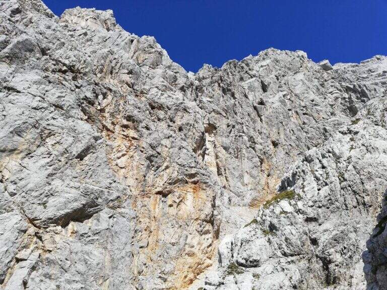
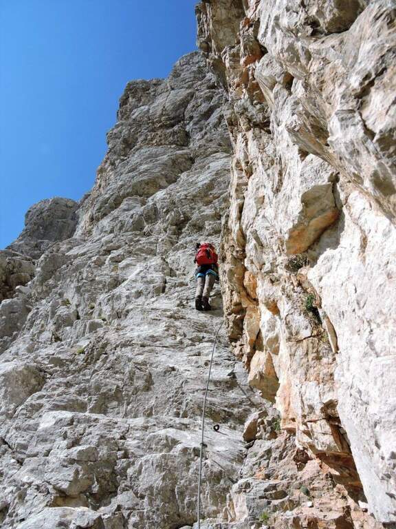
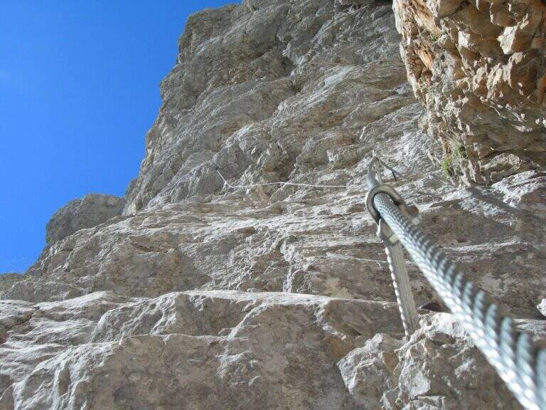
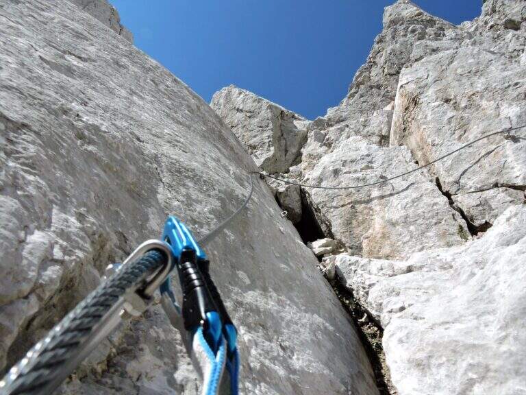
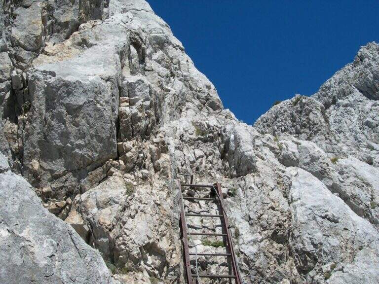
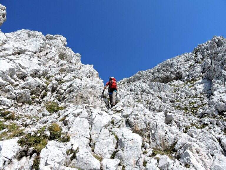
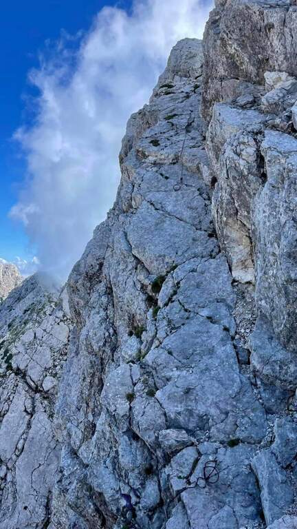
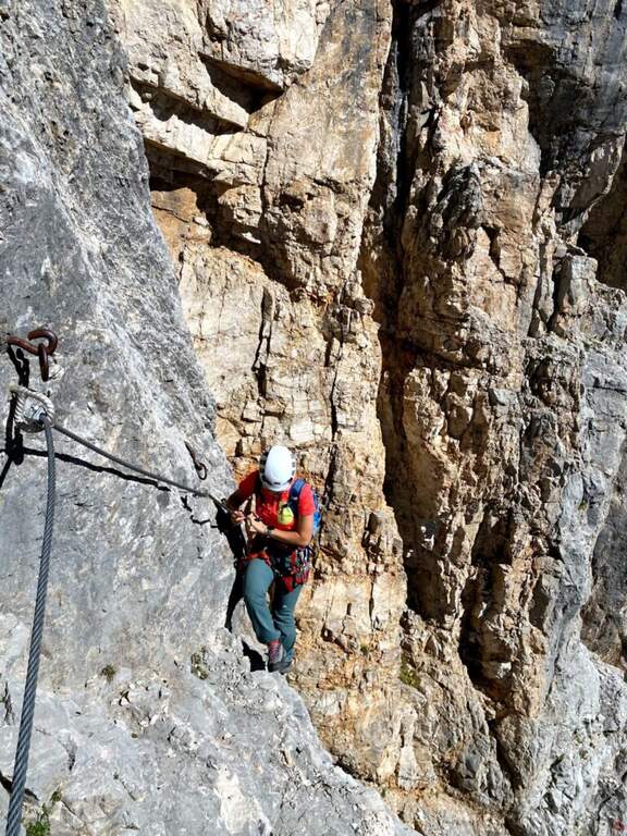
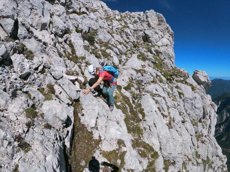
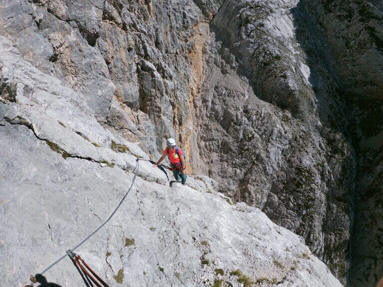
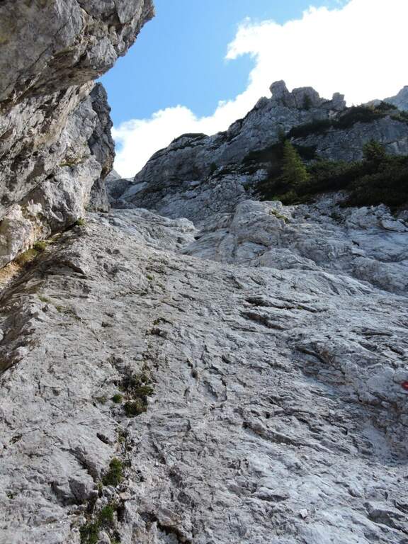
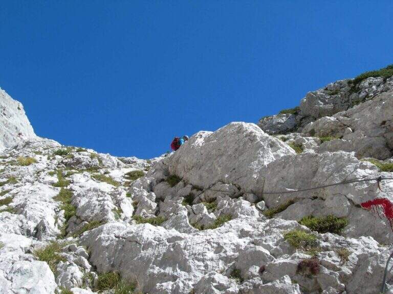
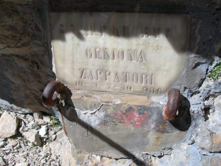
The road starts on a vertical plaque with which a rocky spur is around; the rock is excellent and, except for a few points, gives a nice climbing. Rocky jumps alternating and moving up to an old but solid metal ladder; turning the Mangart into the fork of the Planiza, where the return will begin. There is a nod that wanders around a corner and enters a detritic canal, to go up without equipment until you reach the summit of Ponza Grande (2274 m, 1h 15' from the beginning of the ferrata, 4h total).
The Julian Alps offer an austere and exciting environment: the technical difficulty is average, but ridge and descent require firm foot and absence of dizziness.
Like the nearby Ferrata della Vita, it was built by the Alpini departments in the 1920s to monitor the border with the former Yugoslavia: it was one of the accesses to the "Strada degli Alpini", a path equipped with crest that from Ponza Grande reached the Forcella Sagherza.
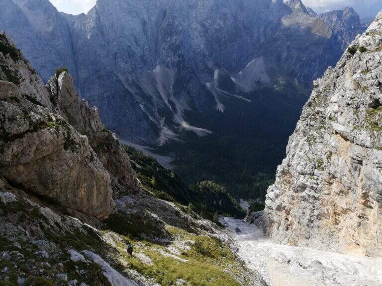
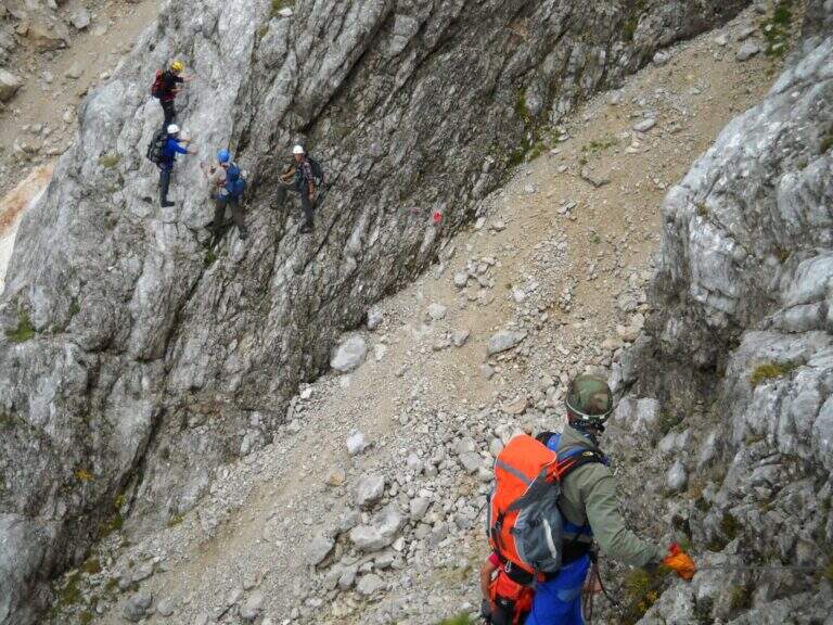
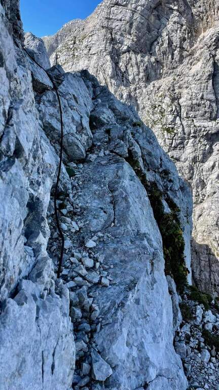
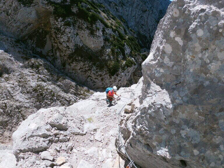
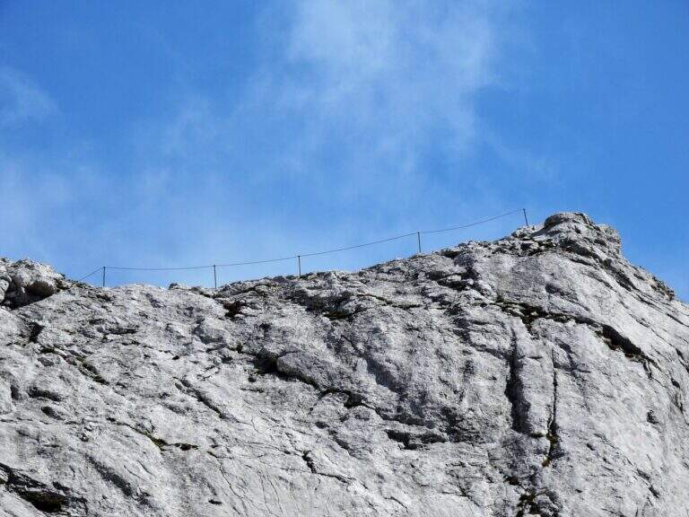
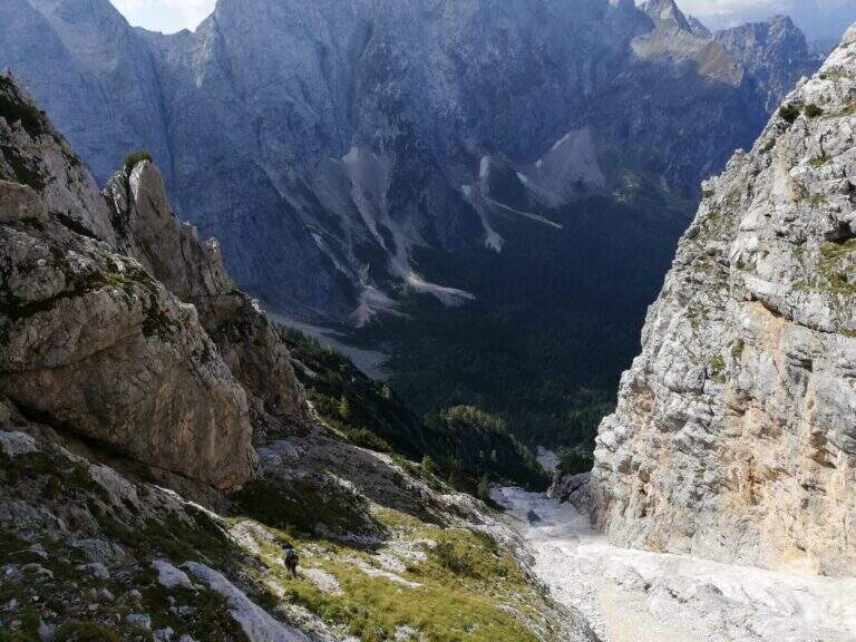
From the summit follow the white-red signs on the Slovenian slope, a few meters under the crest wire, in a stretch exposed and only partly equipped; you lose slightly altitude and you return on the wire — narrow and adrenaline — before you descend to a fork, from which a path to the right brings back to Italian territory and lower to the refuge (discesa steep with some exposed traverse). You will find the crossroads and backwards you return to the refuge Zacchi and then to the parking (2h 30' from the summit, 6h 30' total). Alternatively, from 2022 the historic Ferrata Kugy allo Strugova has been restored and offers a different return: you go along the ridge that connects the Ponze allo Strugova (all but trivial, with old equipment in bad state that do not offer real insurance), you descend the ferrata of the Strugova and from the guiaione to the base you return to the Zacchi refuge - option reserved to experts.
From the lakes of Fusine leave two other beautiful ferrates on the italo-Slovene ridge, the Ferrata della Vita e la Ferrata al Mangart; downstream, on the A23, short and athletic Ferrata Lieutenant Ferrante di Ruffano. On the side of Sella Nevea, in order of difficulty, the Sentiero Attrezzato King of Saxony e la Ferrata Anita Goitan.
- DifficultyHard
- RegionFriuli-Venezia Giulia
- GroupJulian Alps
- Approach2:45 h
- Ferrata1:15 h
- Itinerary (a/r)6:30 h
- Hardware level difference330 m
- Route difference1337 m
- Max2274 m
- Length10 Km
