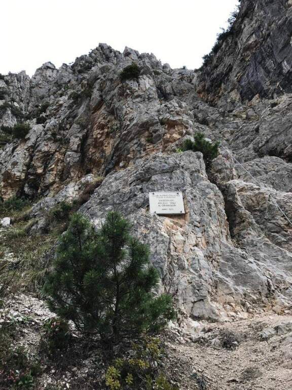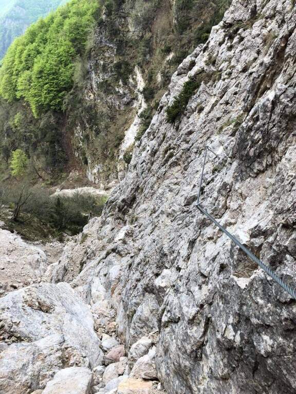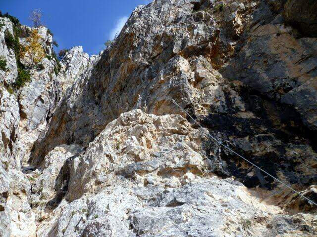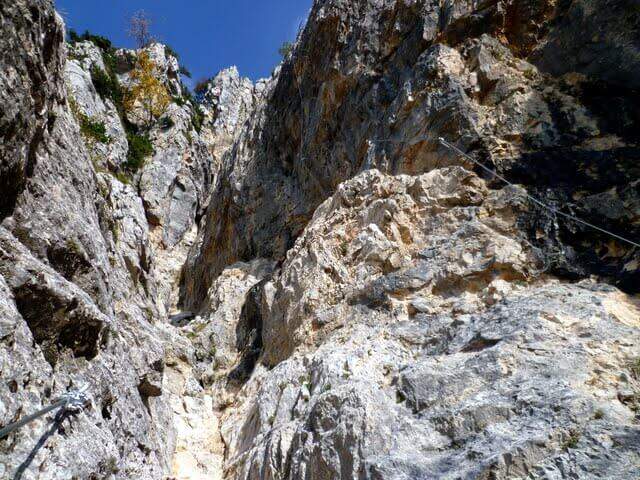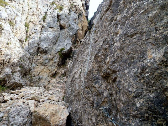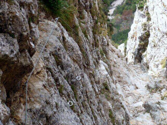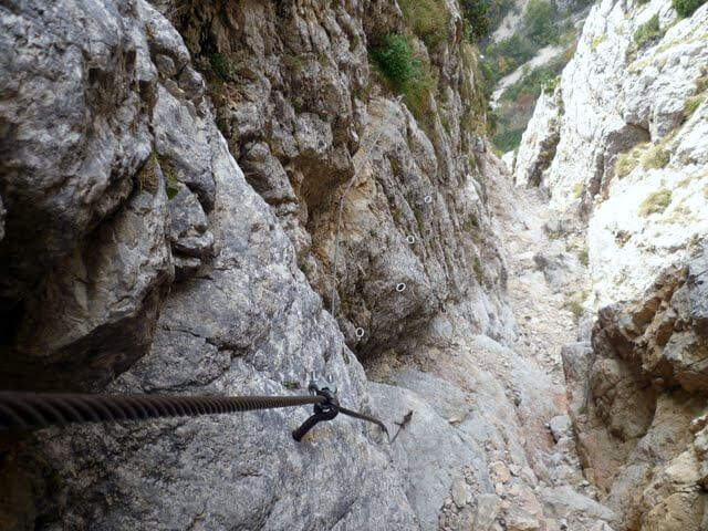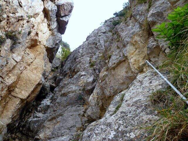
Caratteristica: Passaggi atletici

  • Ferrate del Parco delle Fucine di Casto

    Ferrate del Parco delle Fucine di Casto

    Vie Ferrate › Lombardy › Brescia
    Ferrate del Parco delle Fucine di Casto

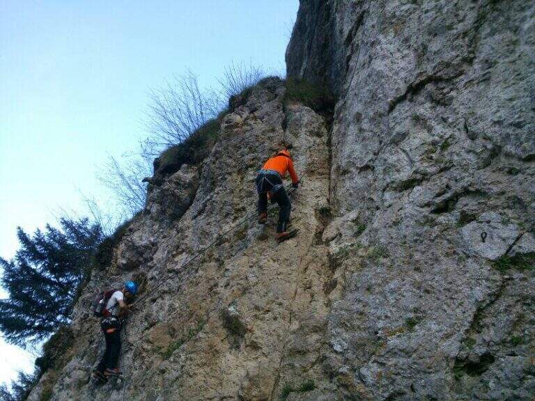
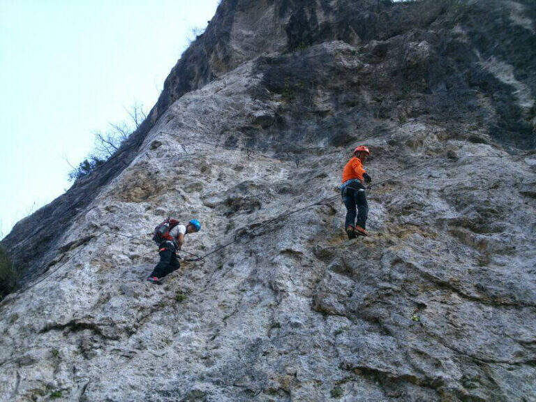
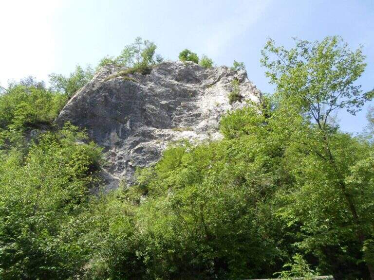
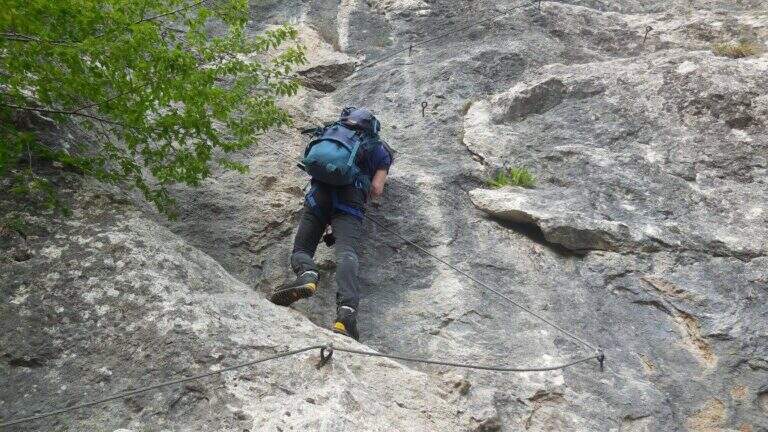
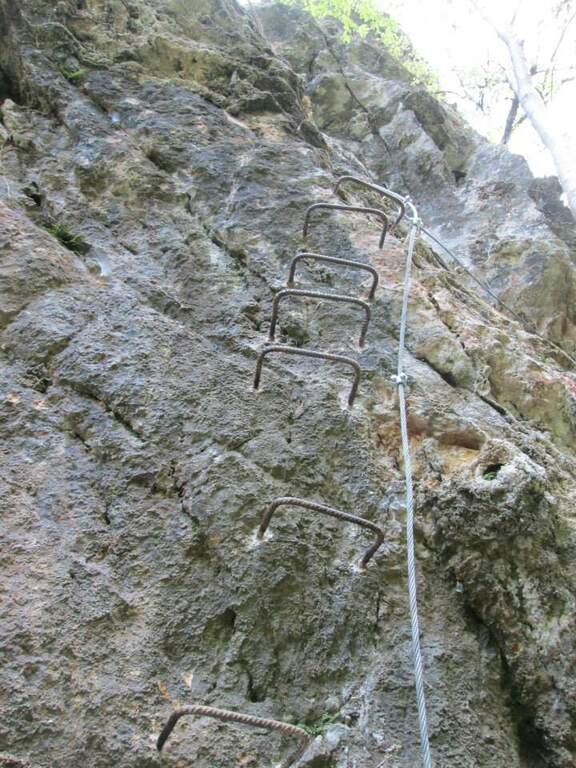
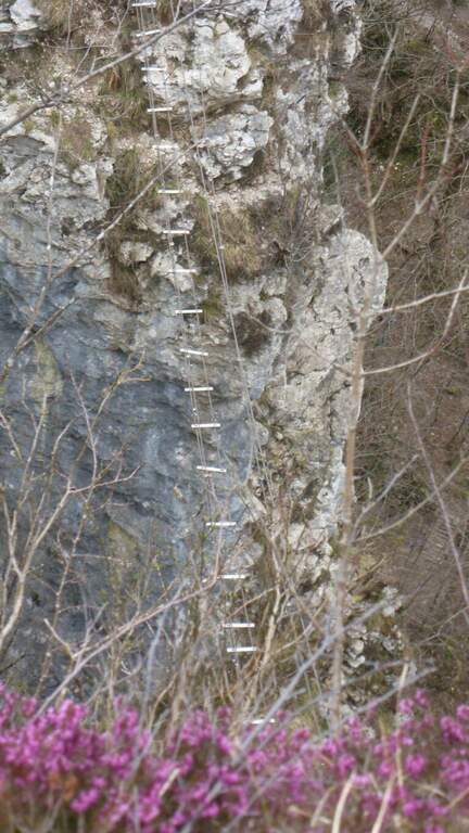
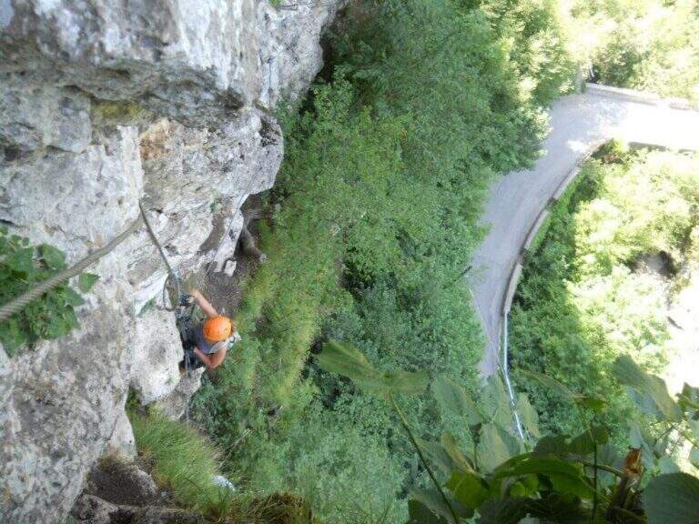
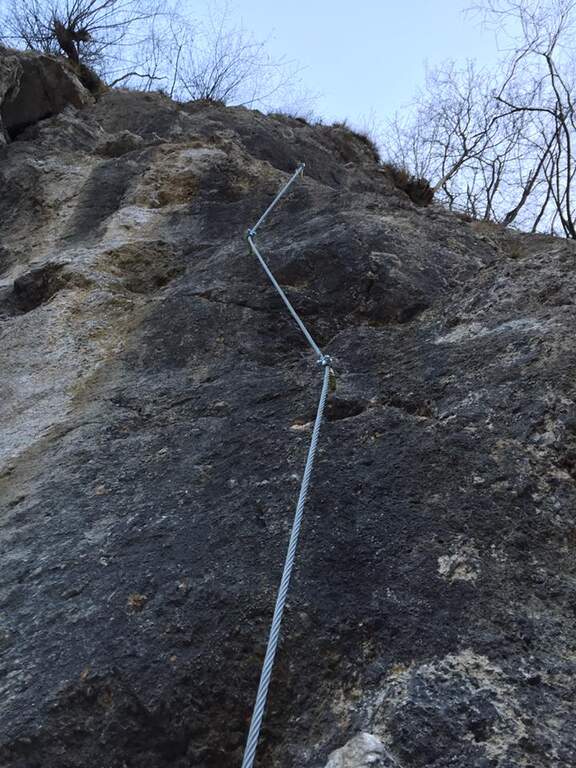
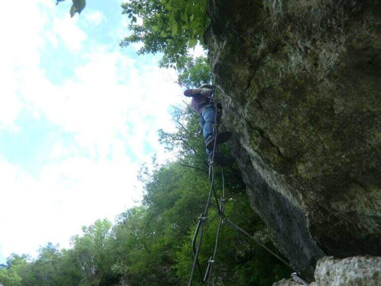
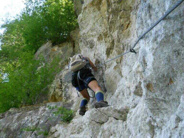
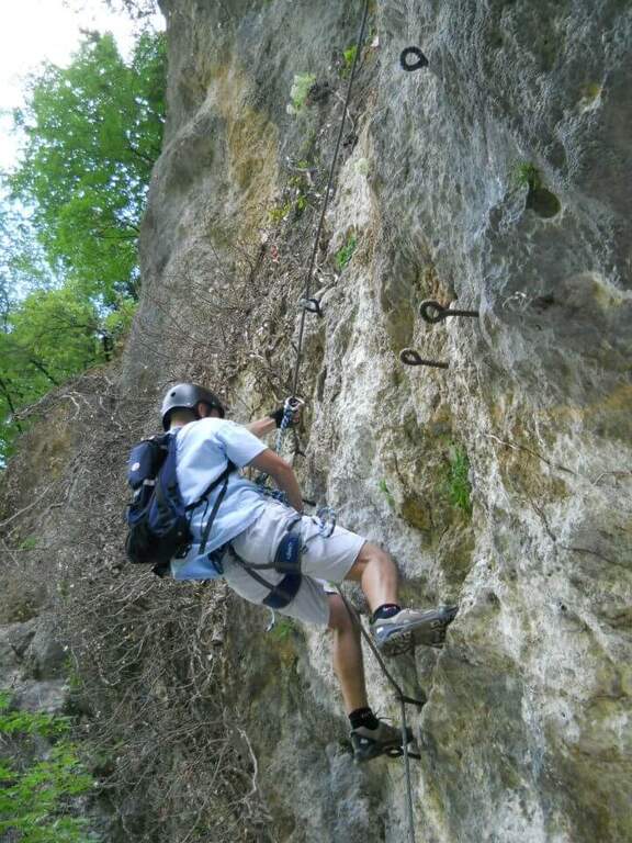
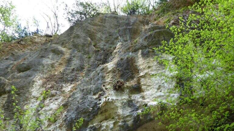
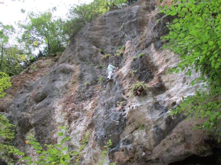
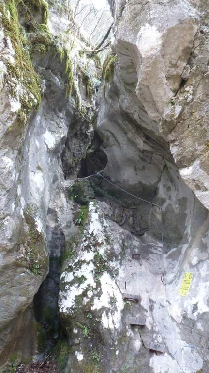
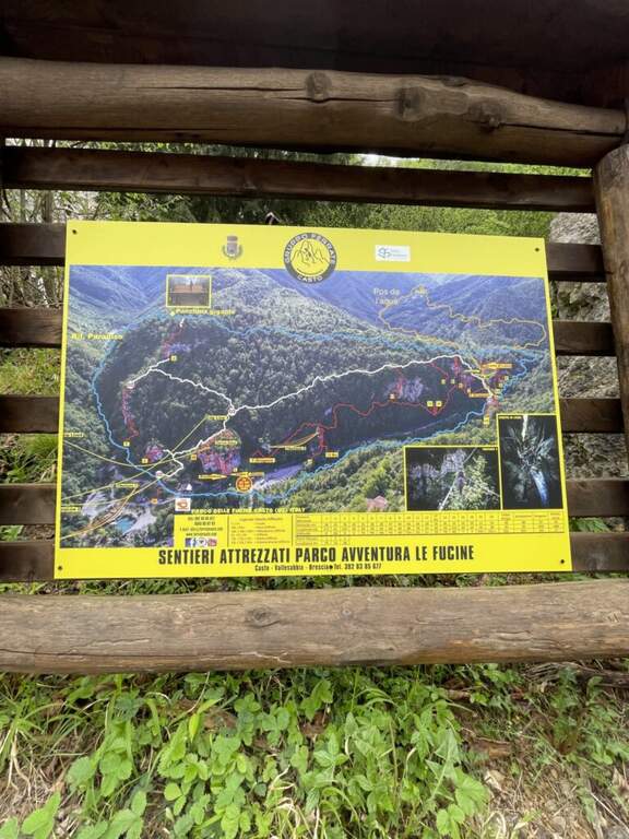
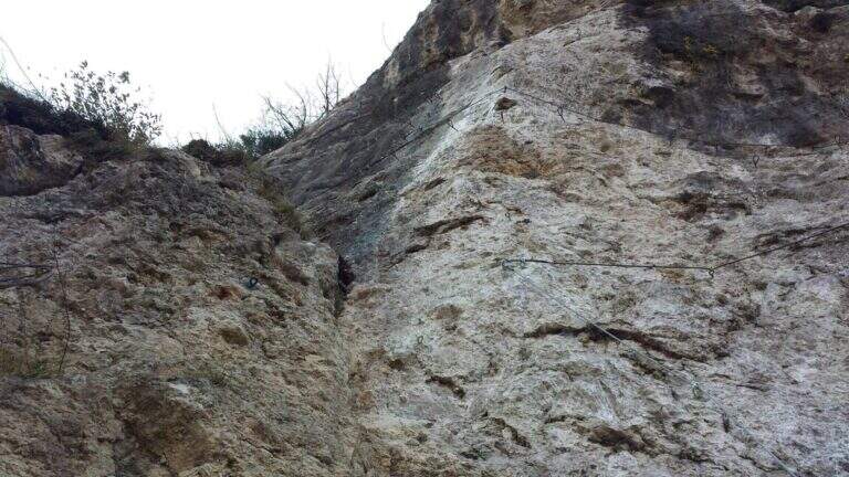
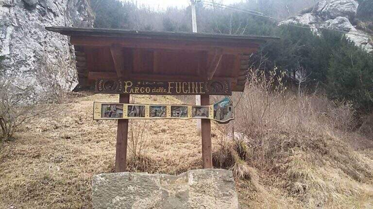
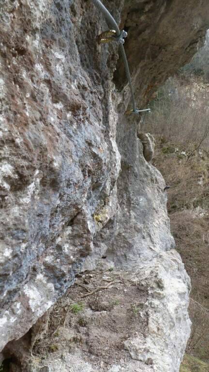
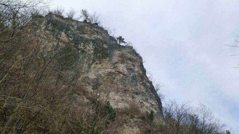
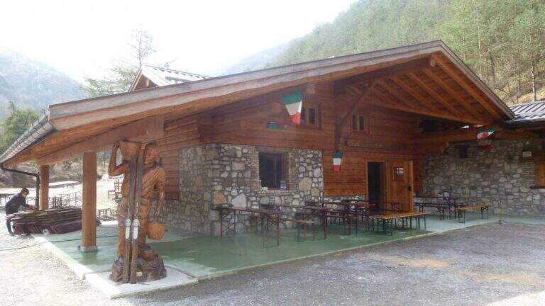
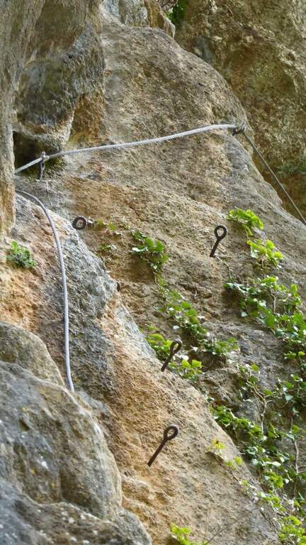
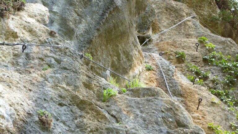
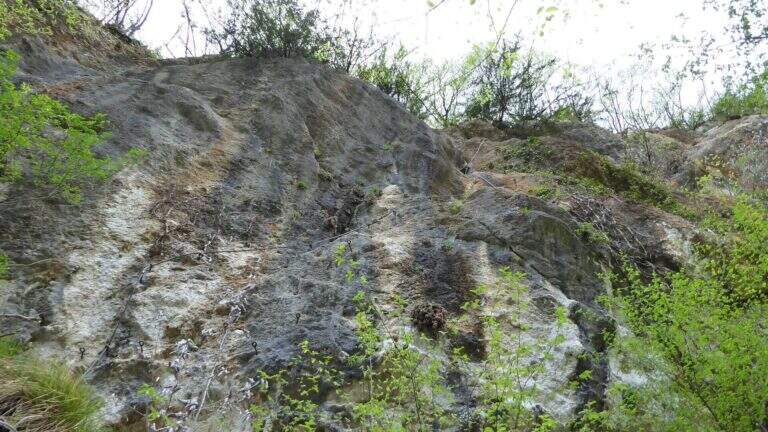
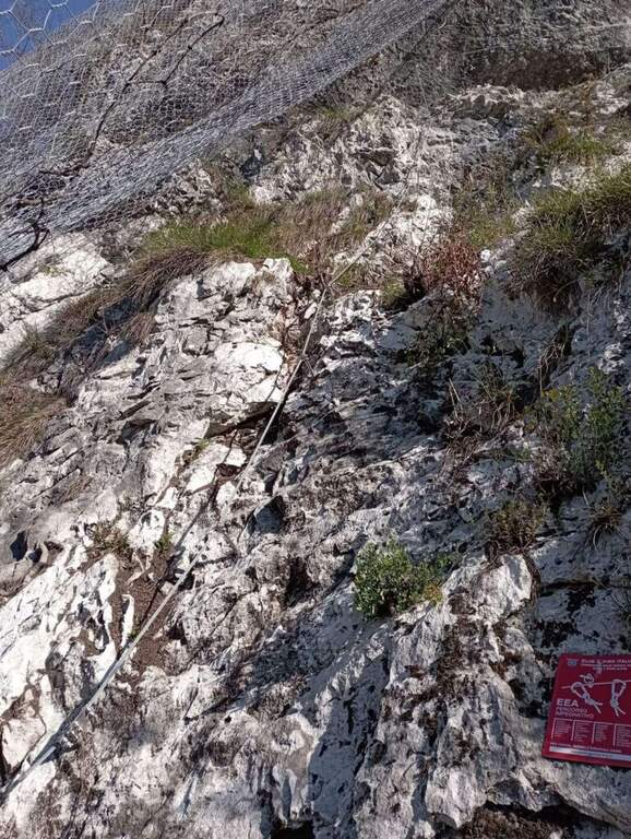
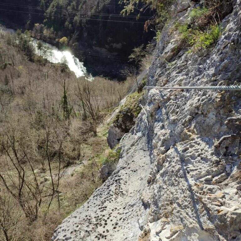
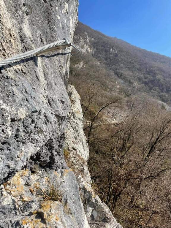
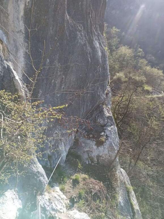
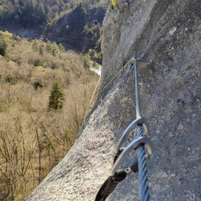
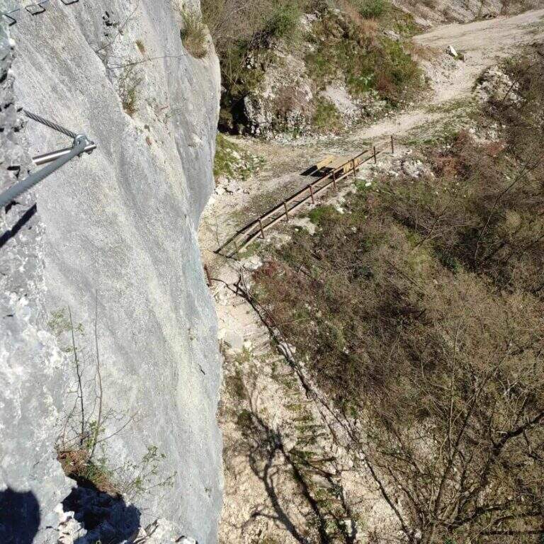
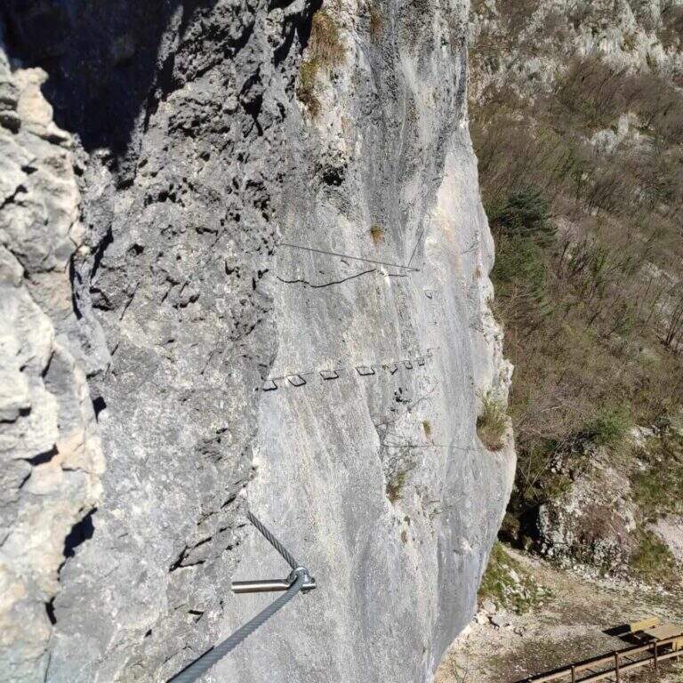
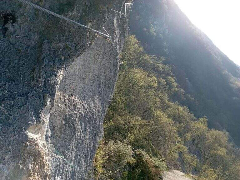
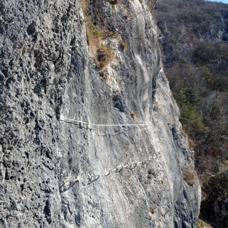
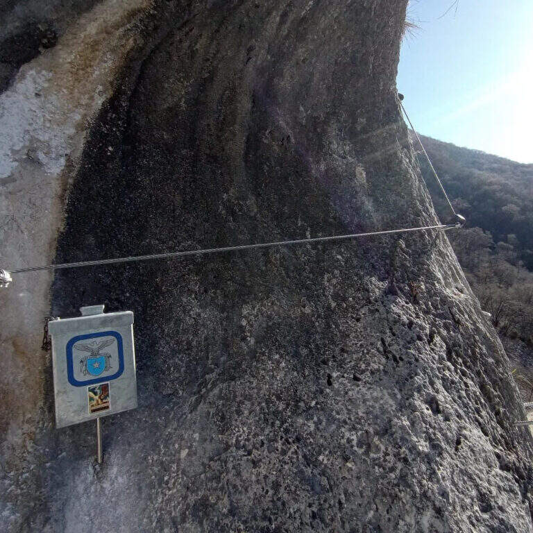
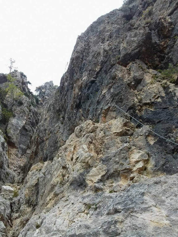
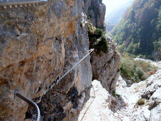
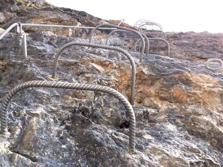
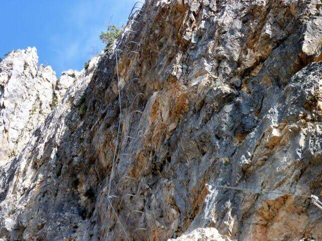
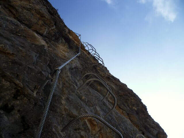
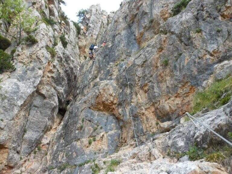
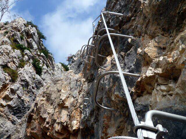
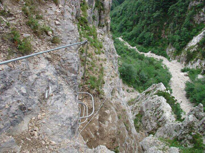
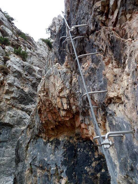
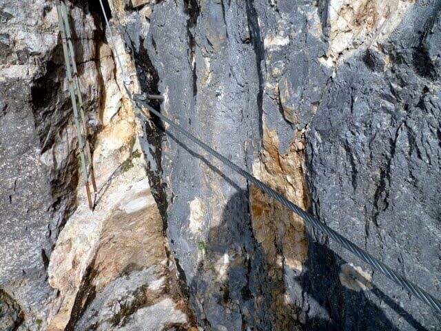
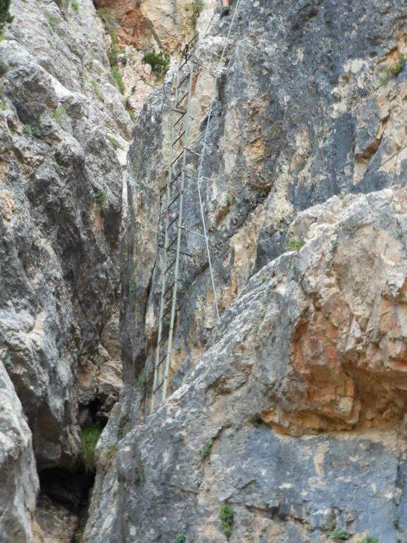
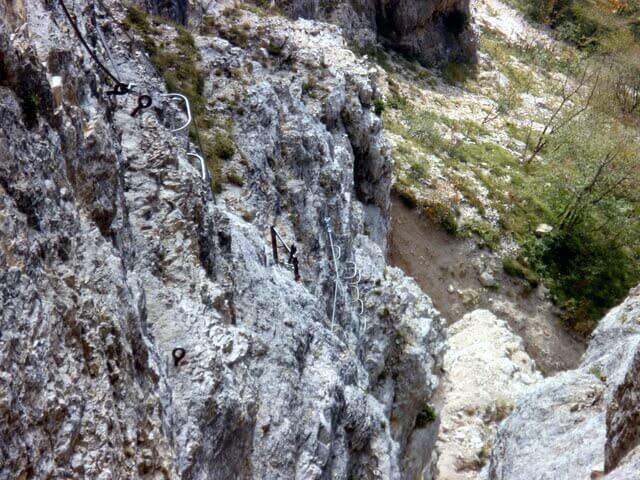
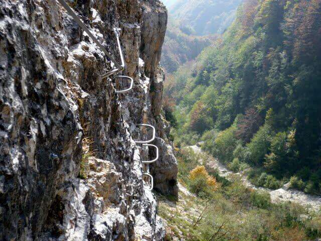
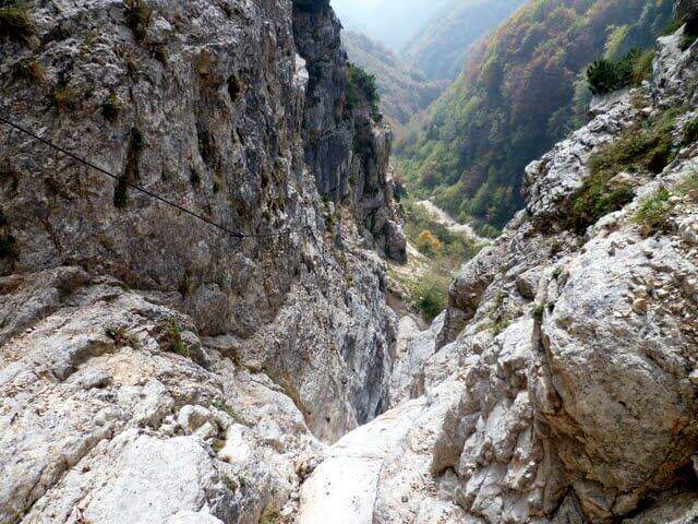
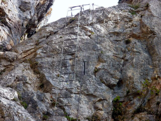
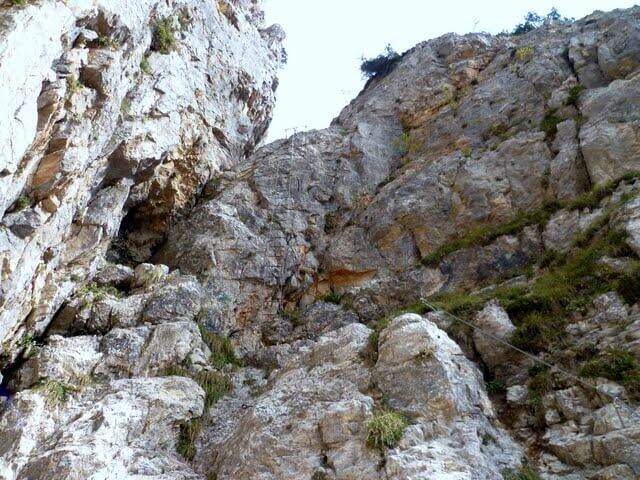
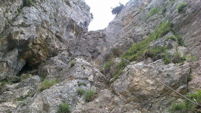
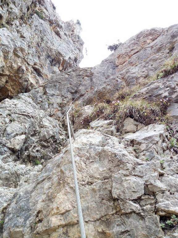
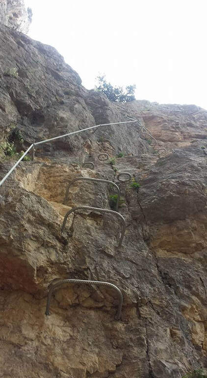
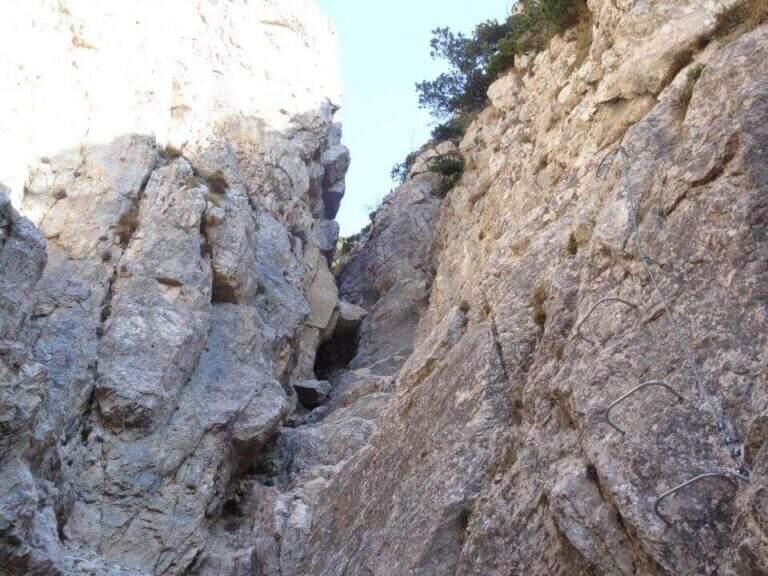
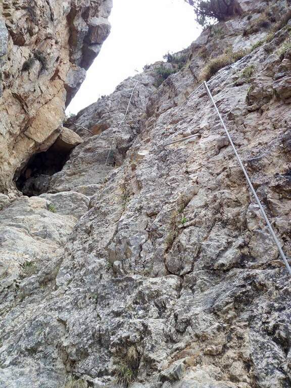
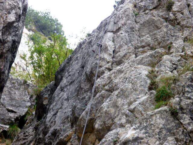
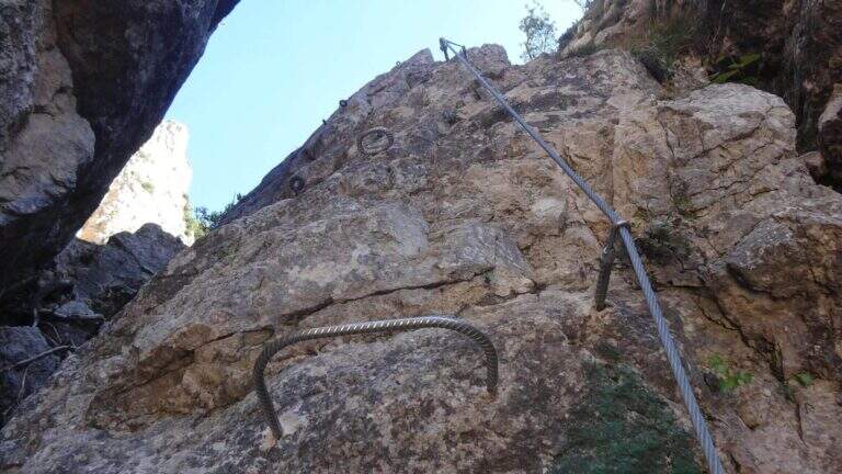
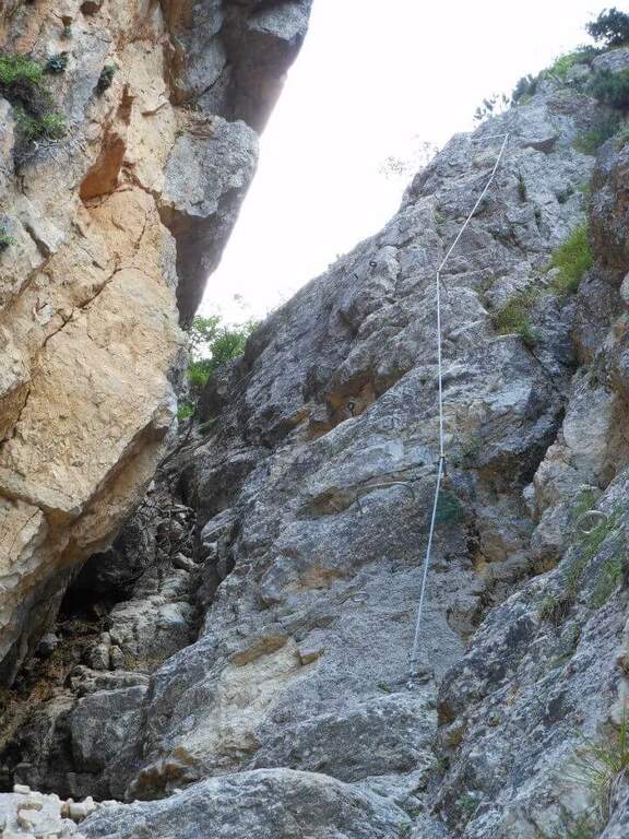
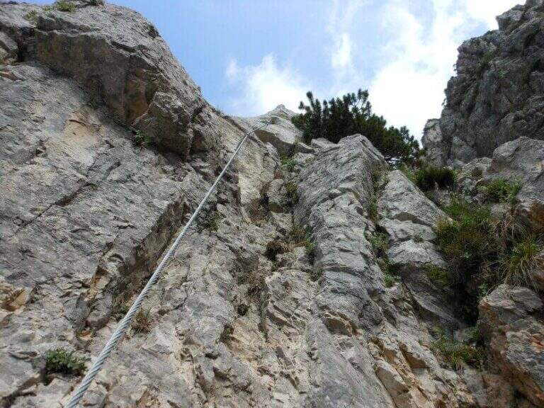
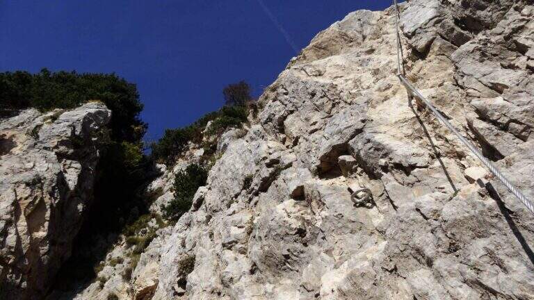
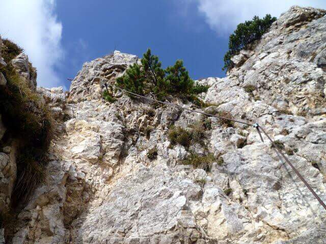
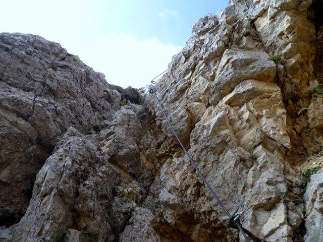
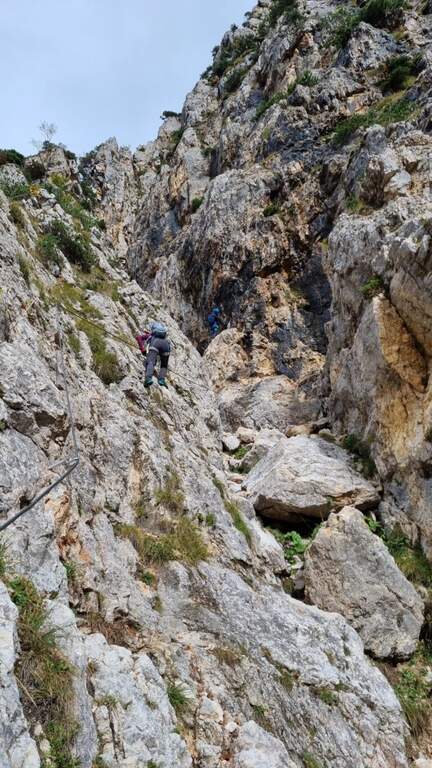
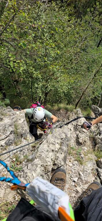
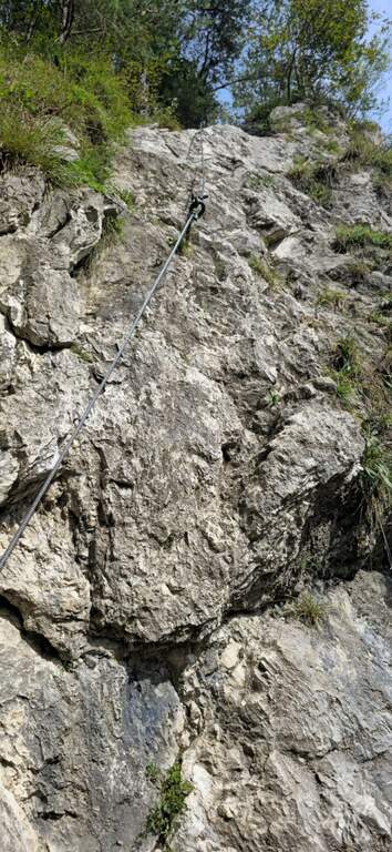
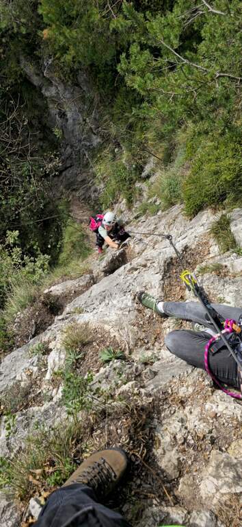
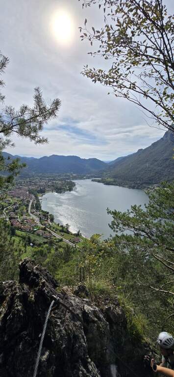
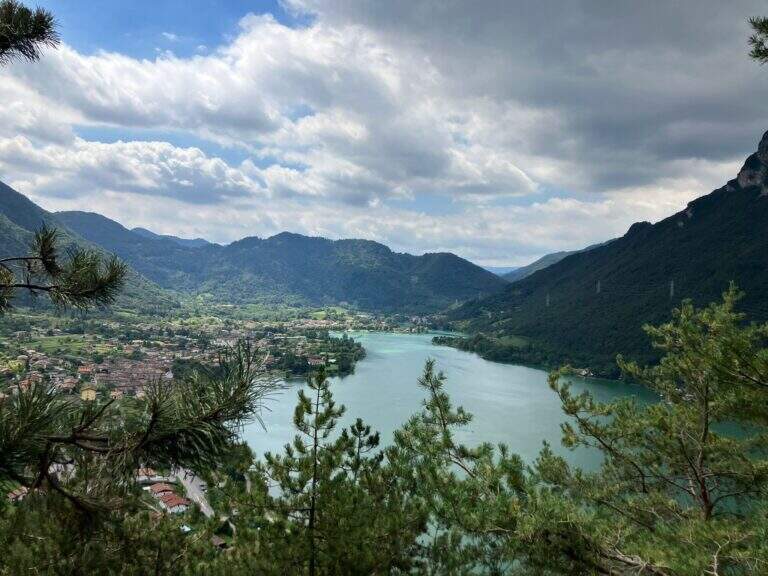
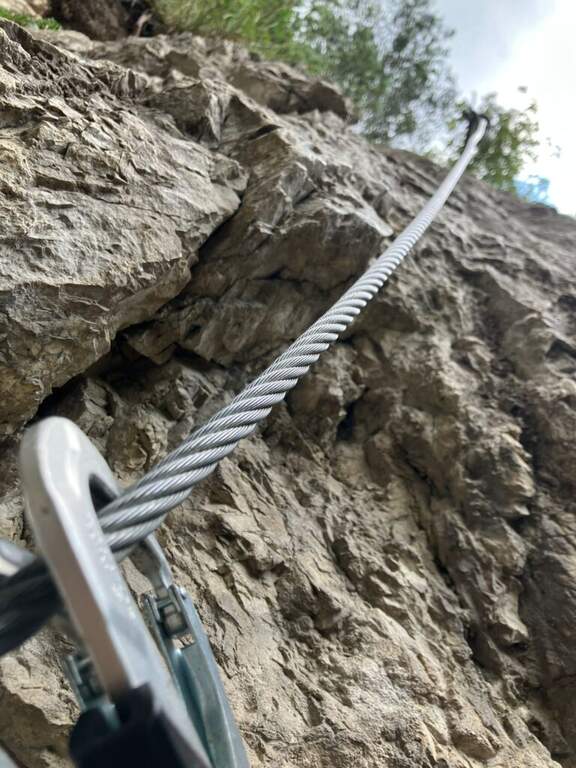
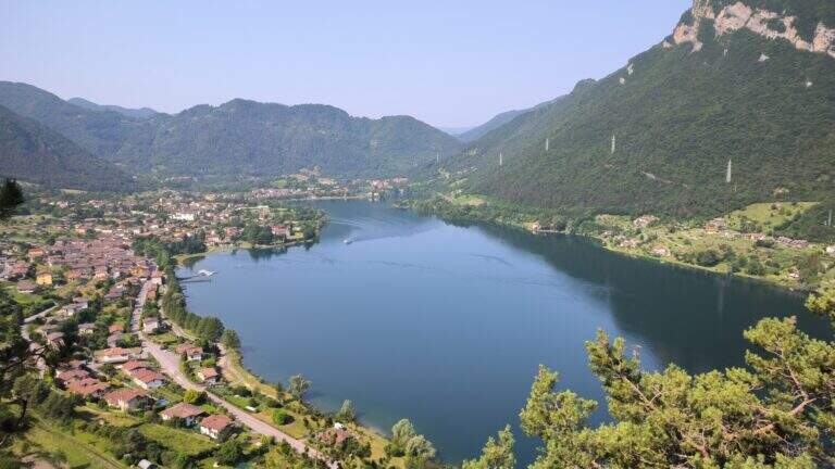
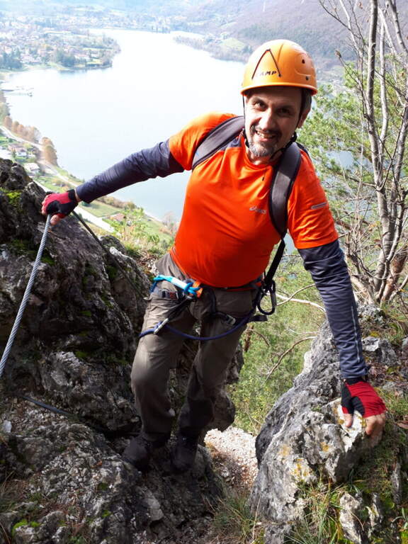
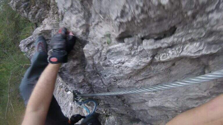
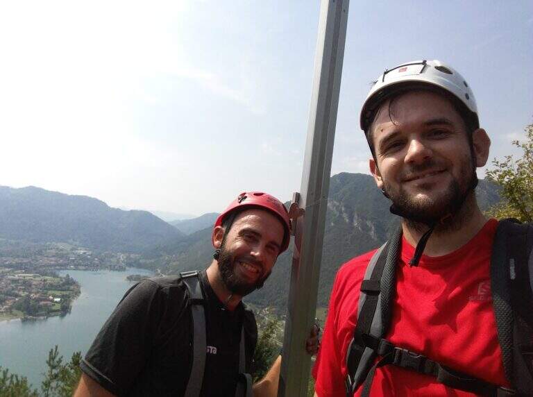
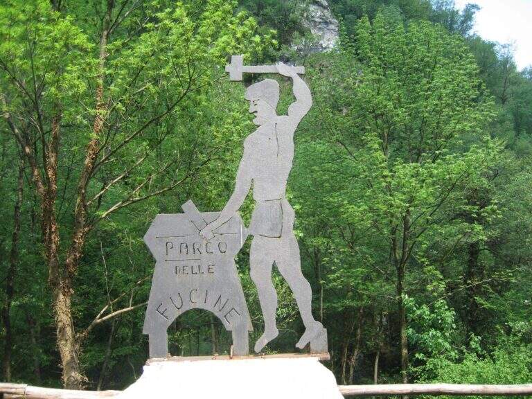
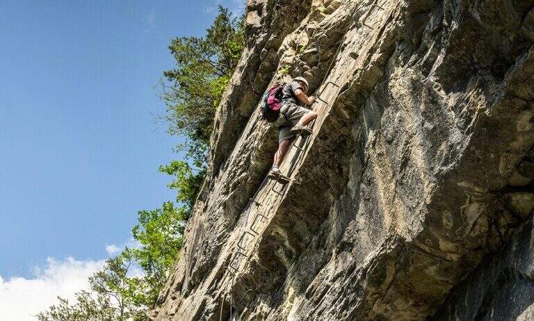
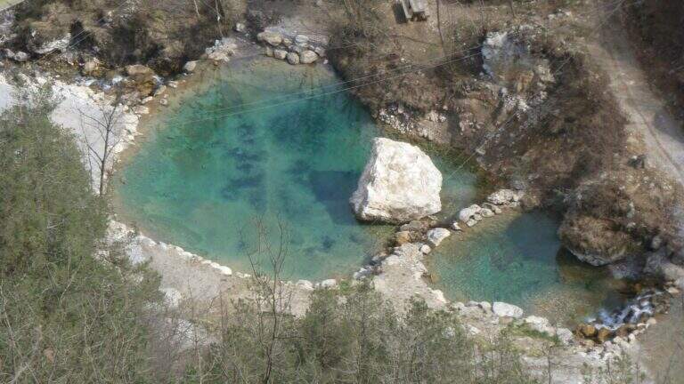
    Il Parco delle Fucine di Casto (Brescia, Valle Sabbia) è a unique park in Italy: at free entrance, it gathers on a few walls over fifteen equipped routes, as well as hiking, mountain biking, zip line, suspended bridges and refreshments. The streets are largely atletic and little climbable, excellent for l' training; the difficult ` ranges from an easy way to vertical and very demanding tracks.

    ▲Approach

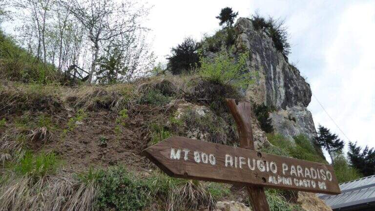
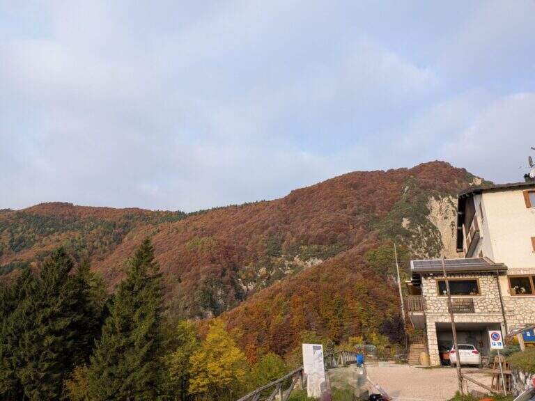
    Starting from the ' ample parking along the park, at Casto. From the center of the village take left (south) via Marconi which, with clear indications, leads to the Parco delle Fucine in about a kilometer. Open road signs on Google Maps. Parking is just a few steps from the entrance (free); from here you can see some streets (the Strega Colpo, the Arcobaleno) and at least one suspended bridge. The times of approach to the individual attacks range from a few minutes up to about 15 minutes in the most distant ways, towards the Strait of Luina.

    ▲The equipped routes

    Each path has development to itself and signalled attack; below a faithful picture of length, difference in level and character.

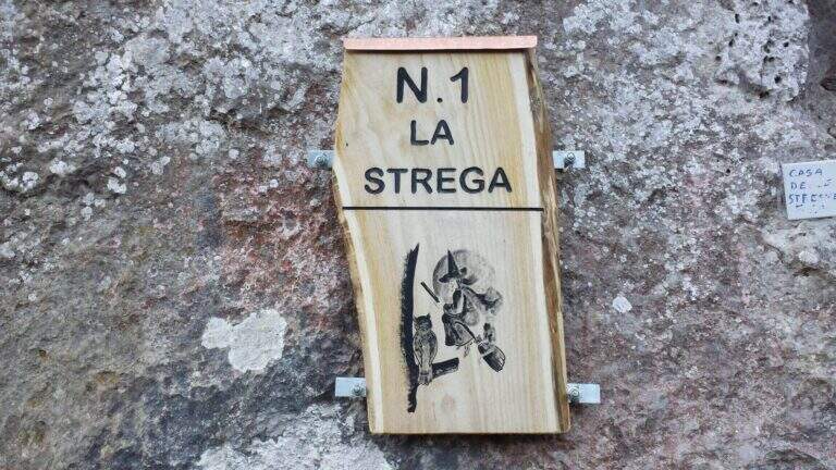
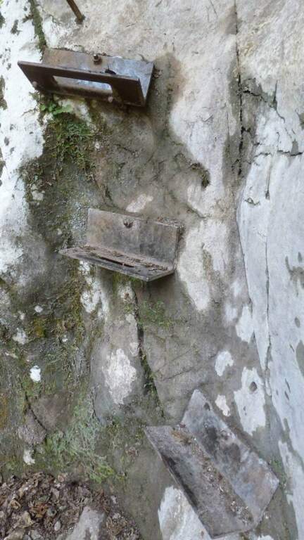
    Ferrata 1 (House of Witches, on Corna Zana, near the parking lot): 115 m, height difference 28 m. Dedicated diagonal traverse and horizontal beams exposed, with brackets and pioli on polished rock.
    Ferrata 2: 61 m, height difference 23 m. The least challenging of the park, on beams with good supports and a vertical variant; ideal for starting.
    Ferrata 3: 152 m, height difference 78 m. Long and challenging, with long beams on very smooth rock (strong traction on the cable) and vertical aerial traits.
    Ferrata 4: 60 m, height difference 49 m. Vertical, with first challenging and slightly overhanging meters and an aerial edge; higher climbing part.
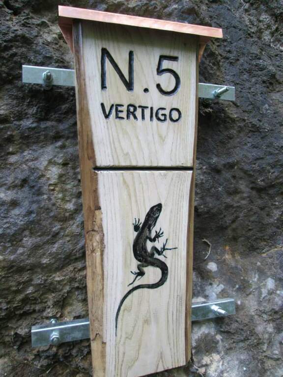
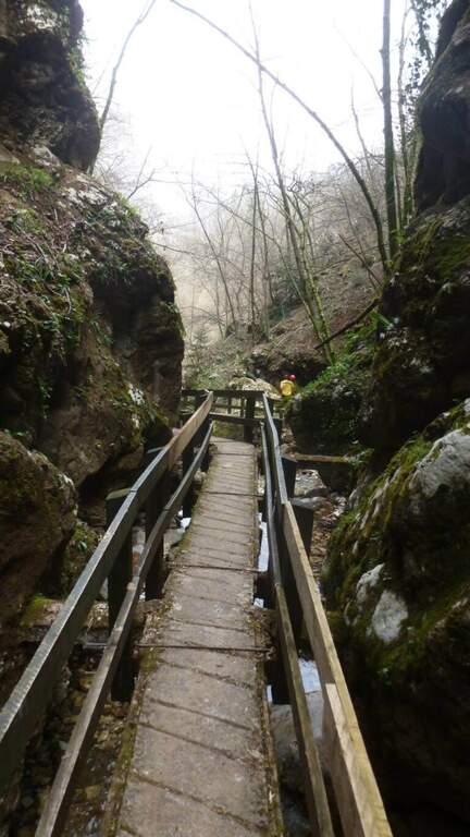
    Ferrata 5 «Vertigo»: 40 m, height difference 25 m. Verticality, slightly overhanging brackets and a challenging overhanging passage; ends at a suspended bridge of about 30 m.
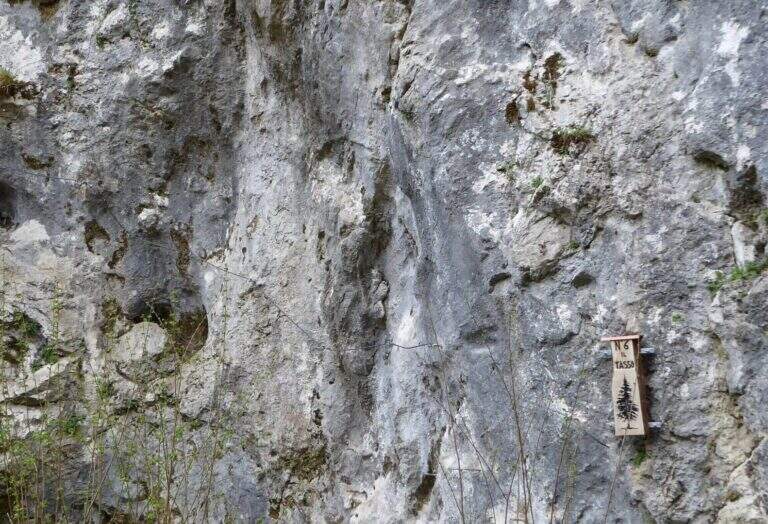
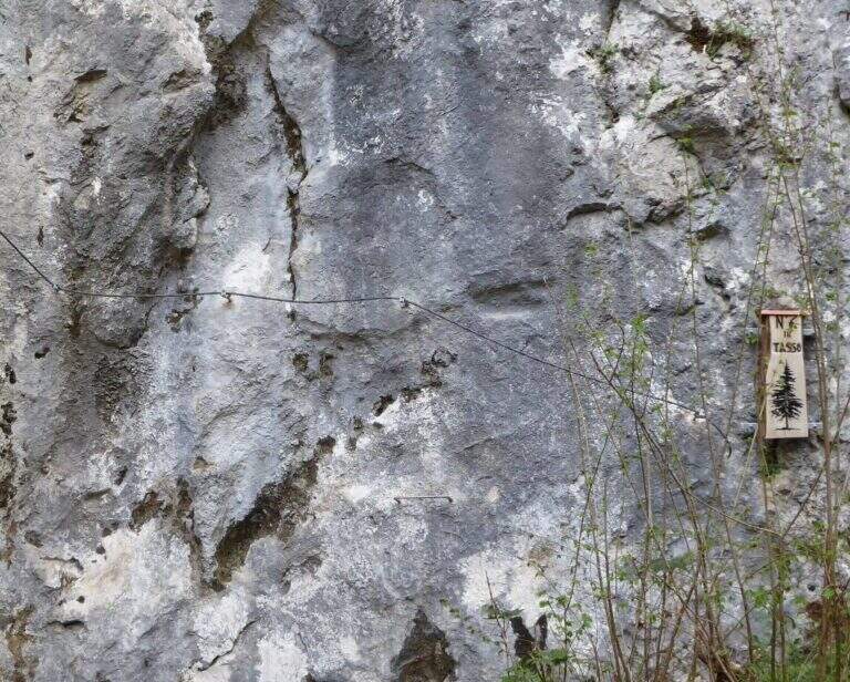
    Ferrata 6 «Tasso»: 28 m, altitude difference 25 m. Short: initial crossing, overhanging stretch with brackets; at the end you cross the bridge suspended on the Strait of Luina.
    Ferrata 7: 60 m, height difference 28 m. Follow us downhill from the suspended bridge; adrenaline exposed edge and tiring vertical descent, up to join Ferrata 8.
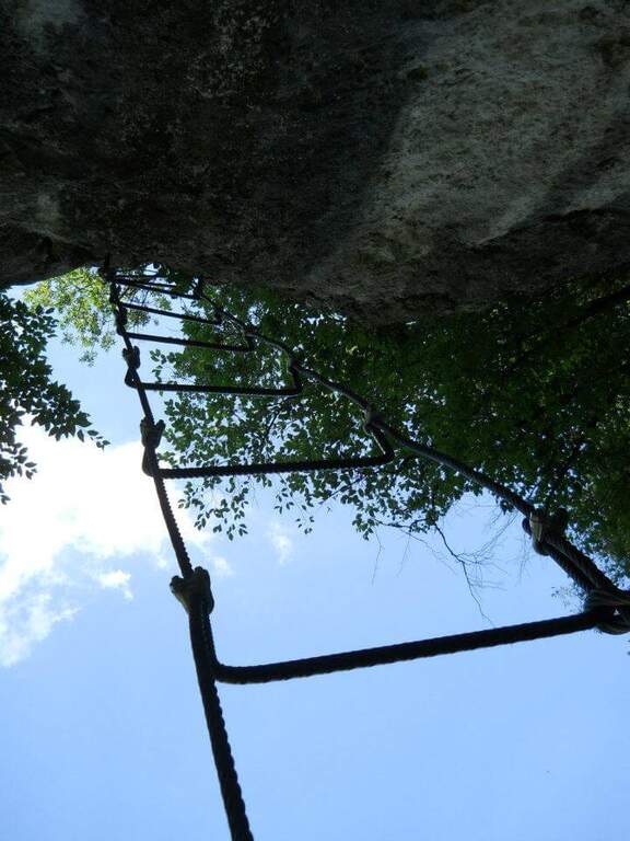
    Ferrata 8: 68 m, height difference 47 m. Impegnative, with key passage on dark and polished wall of 4-5 m and marine scale final.
    Ferrata 9: 68 m, height difference 47 m. Adjacent to 8, with a demanding vertical tear up to the common sea scale.
    Ferrata 10: 60 m, elevation difference 46 m. Diagonal copper, exposed beams and challenging vertical passages alternating with terraces.
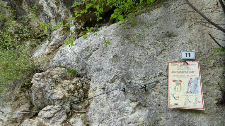
    Ferrata 11: 58 m, dislivello 45 m. Tra le più dure del parco: parete giallastra verticale e strapiombante, variante verticale estrema e forte esposizione.
    Ferrata 12: 65 m, dislivello 28 m. Spigolo, canalino e un passo strapiombante; sale un gendarme (bandiera in vetta), con rientro per un ponte sospeso di quasi 40 m piuttosto ballerino.
    Ferrata 12 bis: 46 m, dislivello 26 m. Attacco subito verticale e strapiombante, ponte delle scimmie di circa 8 m, poi si innesta sulla Ferrata 12.
    Ferrata 14 «Edera»: 44 m, dislivello 36 m. Diedro tecnico e piacevole, poi un ponte sospeso a 4 corde di circa 35-40 m e un secondo ponte più stabile.
    Ferrata 15: 125 m, dislivello 23 m. Prevalentemente in traverso lungo il torrente, con ponti sospesi e un ponte delle scimmie; senza difficoltà particolari ma talvolta scivolosa.
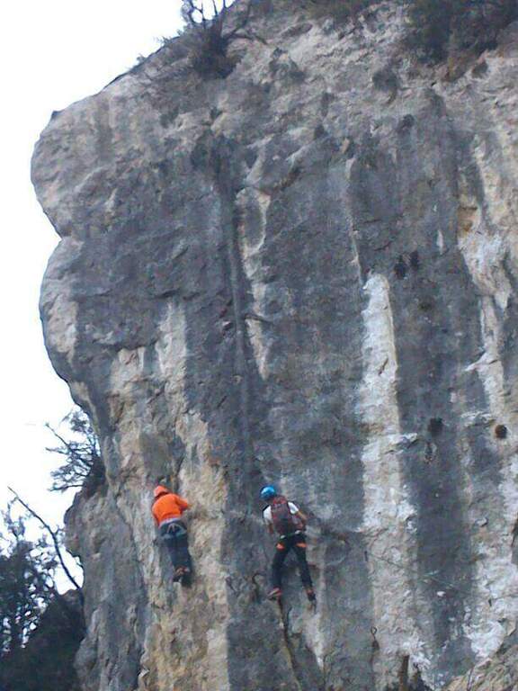
    Colpo della Strega (sopra il parcheggio): 45 m, dislivello 38 m. Verticale, tecnica e difficile, su roccia levigata povera di appigli che sollecita molto le braccia.
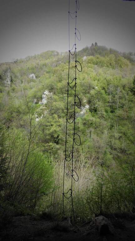
    Arcobaleno: 55 m, dislivello 38 m. Privilegia l'arrampicata su pioli e prese sferiche (cavo «alla francese»), con spigolo aereo e passaggio strapiombante assistito.
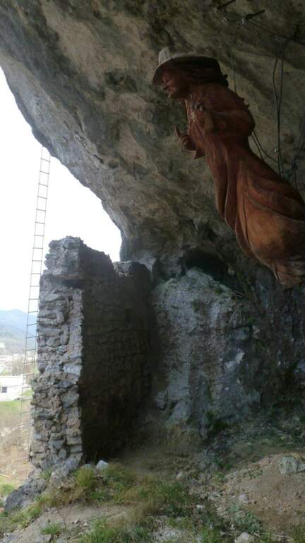
    Dragone (Grotta del Dragone): 240 m, sviluppo 50 m. Meno verticale, di fatto un sentiero attrezzato con scala marinara e un lungo ponte sospeso, che tocca gli attacchi delle vie 11, 10, 9, 8, 7 e quelle 5, 6 e 14.
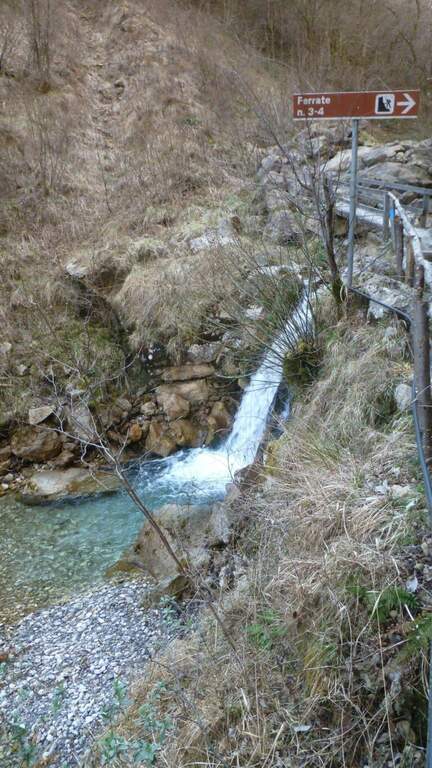
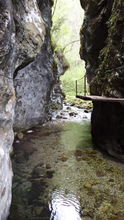
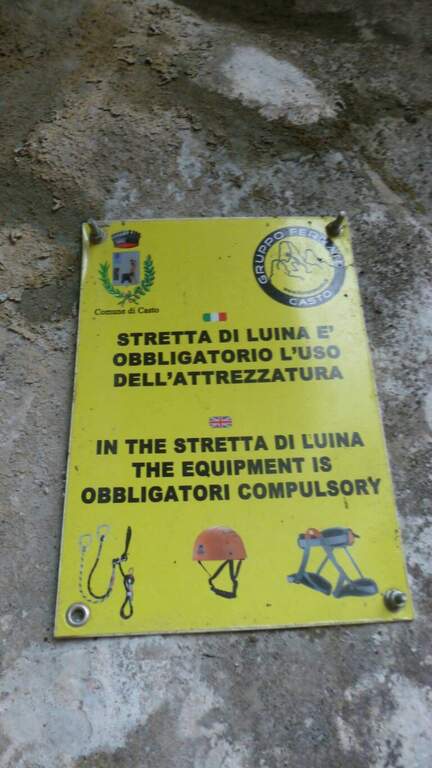
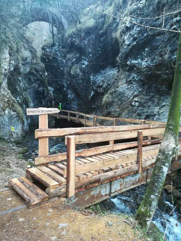
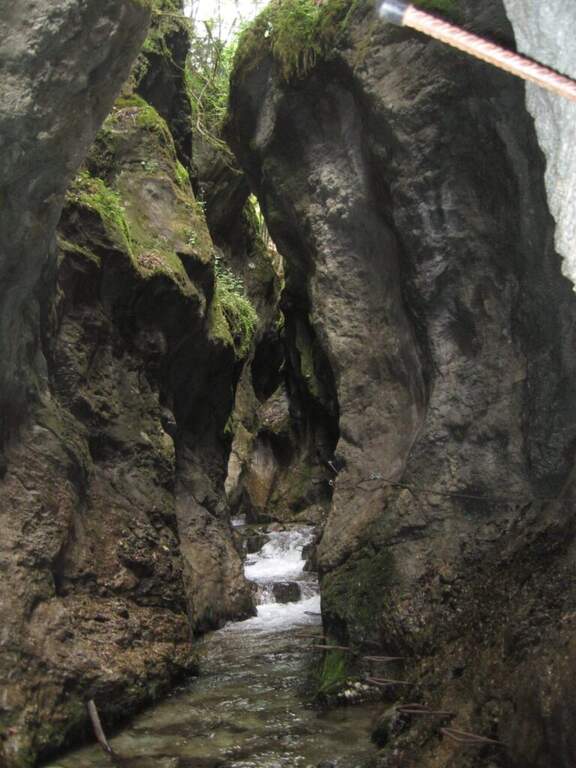
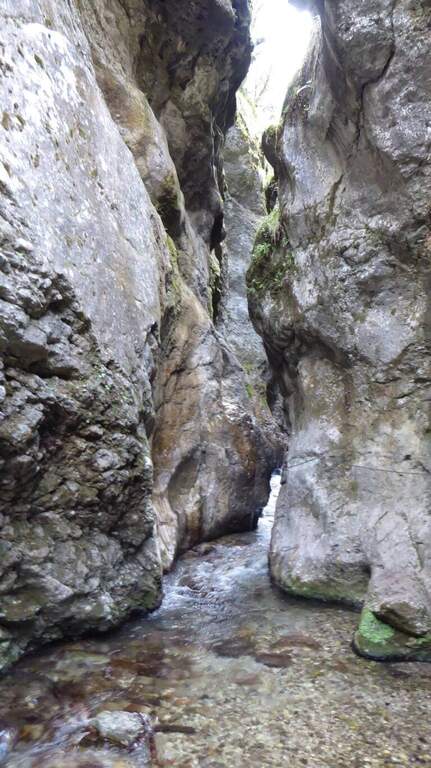
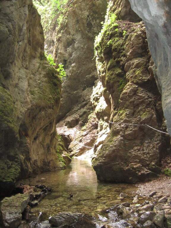
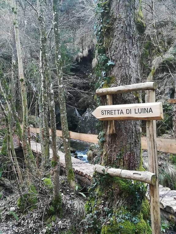
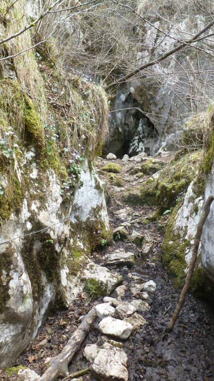
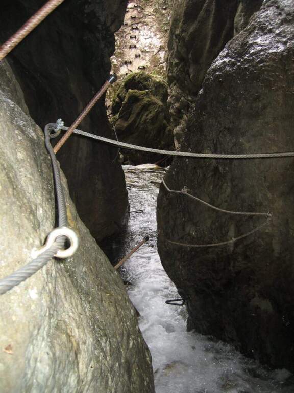
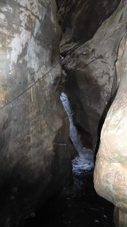
    Stretta di Luina: percorso prevalentemente orizzontale, quasi al pelo dell'acqua nella forra del torrente; non difficile ma scivoloso, con ponti su tronchi e ponti delle scimmie.

    ▲Character and difficulty

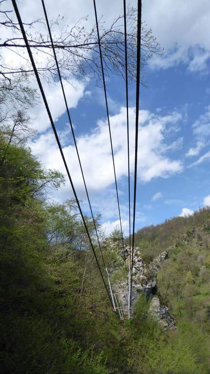
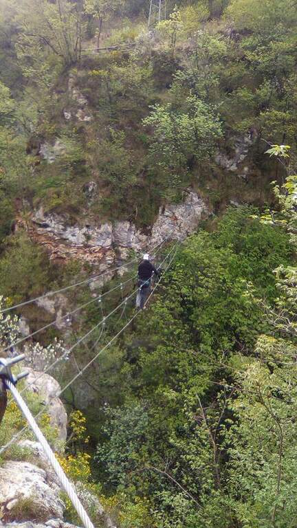
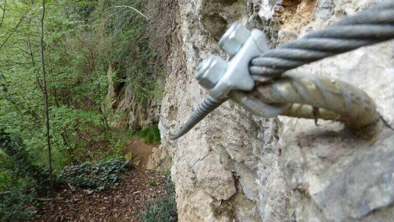
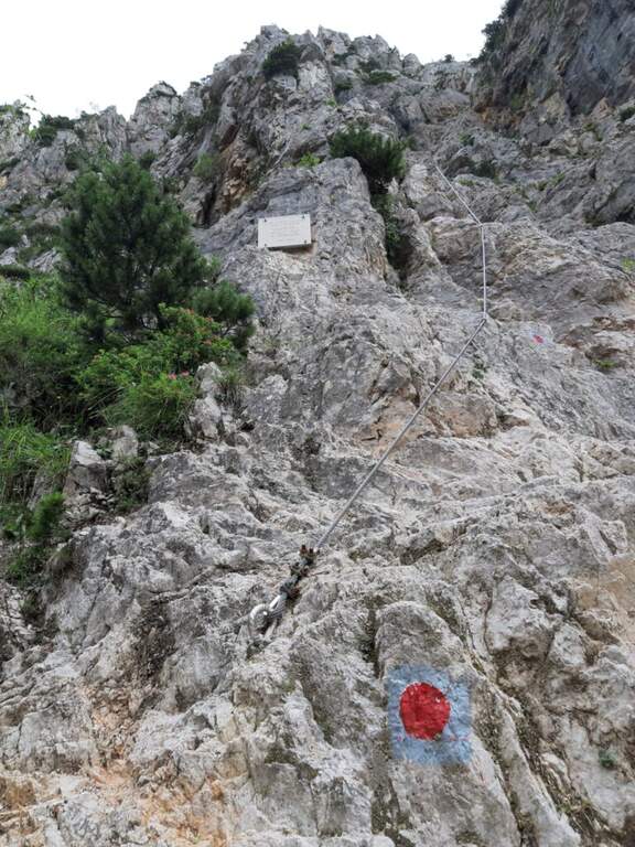
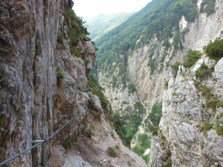
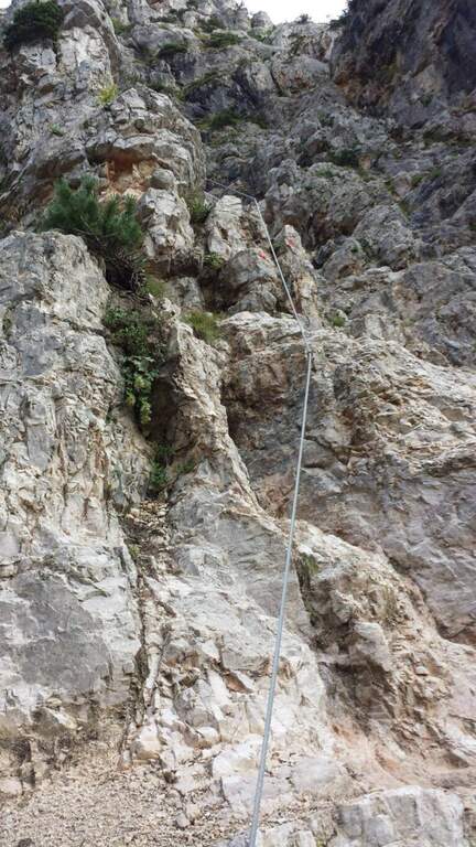
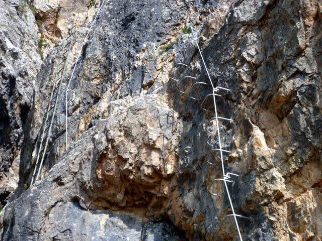
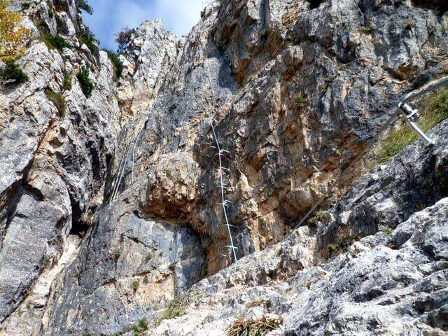
    The park offers a wide range: from easy Ferrata 2 and the Dragon to extremely athletic and overhanging routes (Ferrata 11, Vertigo, Colpo della Strega). The rock is often smoothed and undressed, with frequent traction on the cable; numerous suspended bridges and monkey bridges, exposed but fun.

    ⚠ Many routes are physically demanding and little climbing, not suitable for neophytes (except Ferrata 2 and Dragon). Helmet and hardware set are indispensable; attention to the slippery bottom in the holes and swinging bridges. Choose the route based on your training.

    ▲Discipline

    Almost all routes fall for sentiero (usually holding the right at the end). The routes 5, 6 and 14 and 7-8 use the bridges suspended on the Strait of Luina; the 12 and the 12 bis fall through the suspension bridge of almost 40 m at the tower. The times are short given the proximity to the parking lot.

    ▲Period and safety

    The best periods are the mezze season; the itineraries can also be covered d' winter, except in snowy periods. Being at low altitude, in the middle of summer some walls exposed to the sun are very warm.

    ▲To match

    Always in the area of Lake Idro you can walk Ferrata Crench, il Idro Waterfall Trail e la Ferrata delle Ginestre.
    ▲Gallery
    Technical data
    • DifficultyFrom Easy to Extremely Hard
    • RegionLombardy
    • ProvinceBrescia
    • GroupPrealps Bresciane
    • Approach5-15 min
    • Fully equippedover 15
    • EntryFree
    • PeriodHalf seasons (also winter except snow)
  • Ferrata di Valmeduna

    Ferrata di Valmeduna

    Vie Ferrate › Friuli-Venezia Giulia › Pordenone
    Ferrata di Valmeduna

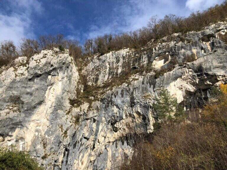
    La Ferrata di Valmeduna is a recent route in the province of Pordenone, near the town of Redona. Of modern style, it proposes quite constant difficulties in an environment from "rock plate": it does not reach a peak, but it is an excellent training for altitude itineraries. It is well equipped and not devoid of athletic passages.

    ▲Approach

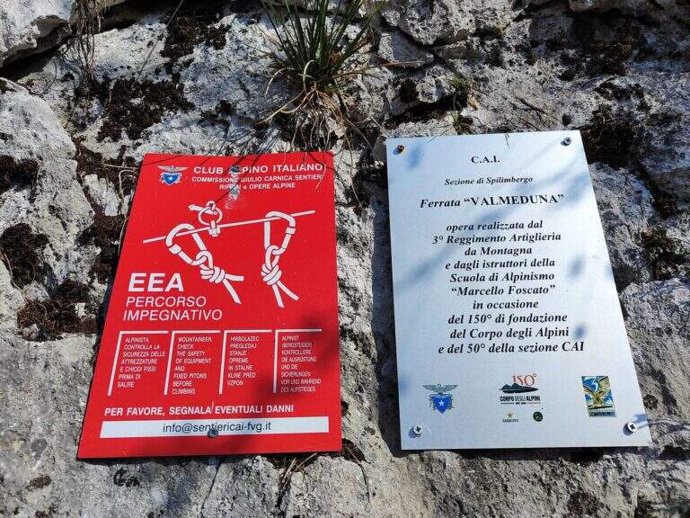
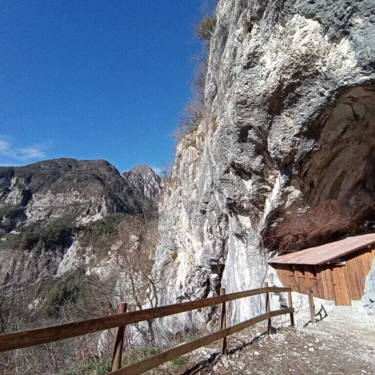
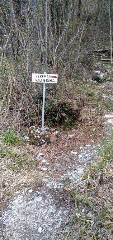
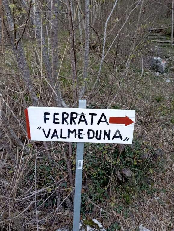
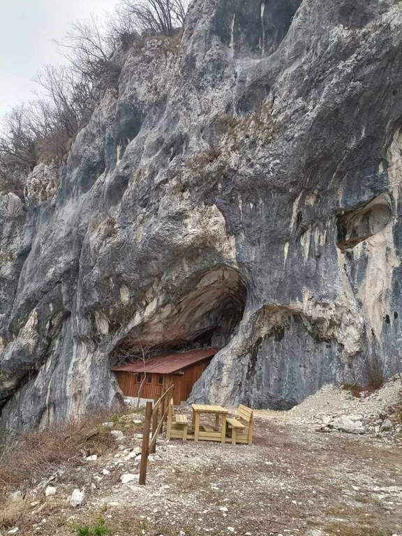
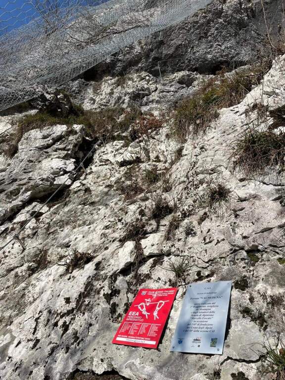
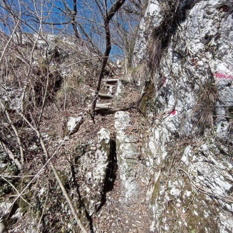
    Follow the regional road linking Meduno a Tramonti di Sopra: arriving from the south, the parking is on the right side before the "Tramonti di Sopra" sign and before the artificial invader. Open road signs on Google Maps. From the parking lot follow the sidewalk to a path that climbs on the right; following the signs and the bolli red towards the east-southest you arrive at a bend, then at a crossroad where you descend slightly left to the new rock gym on beautiful limestone, where you will find a bivacco, tables and benches, d' routes; climbing and climbing. Near the bivouac a path descends to the left at ' attack, on the left side of the wall, at the CAI red sign and a paramass network (about 10').

    ▲The path

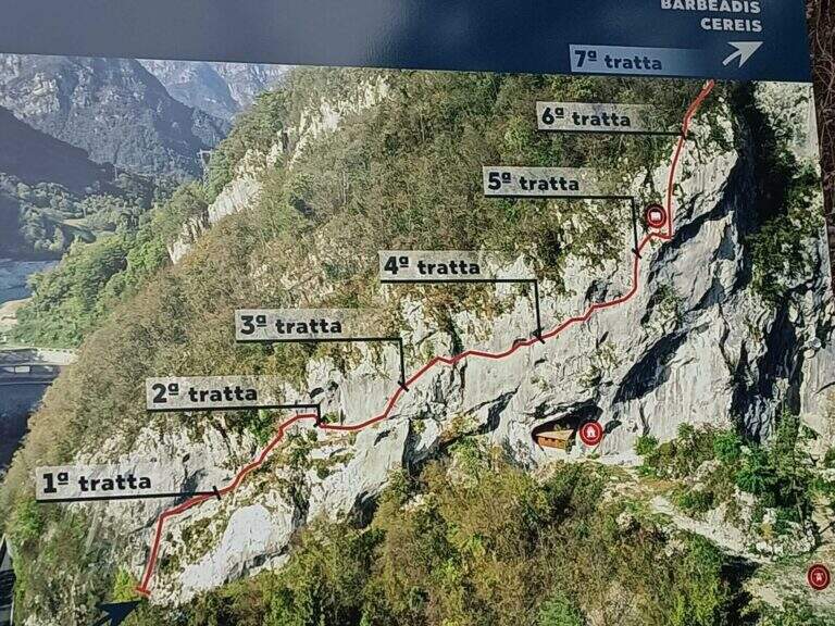
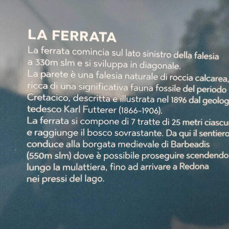
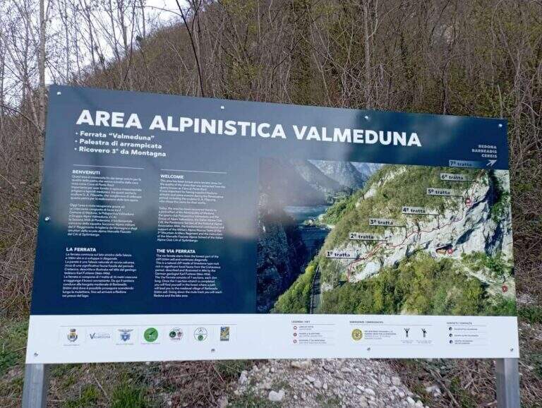
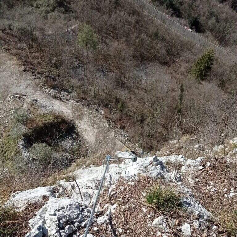
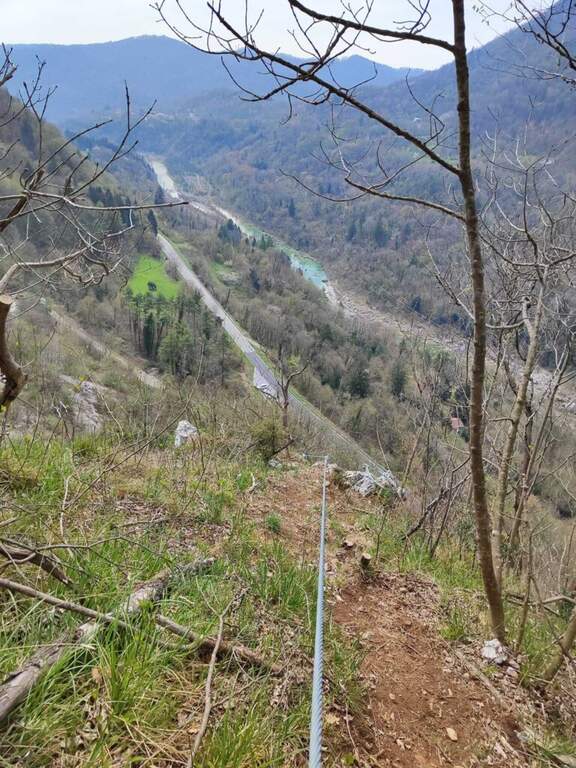
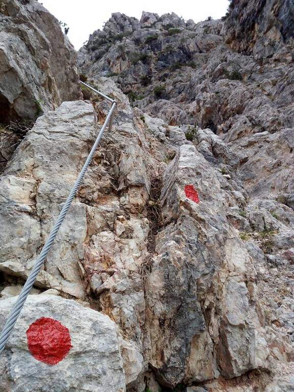
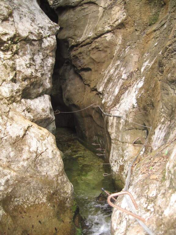
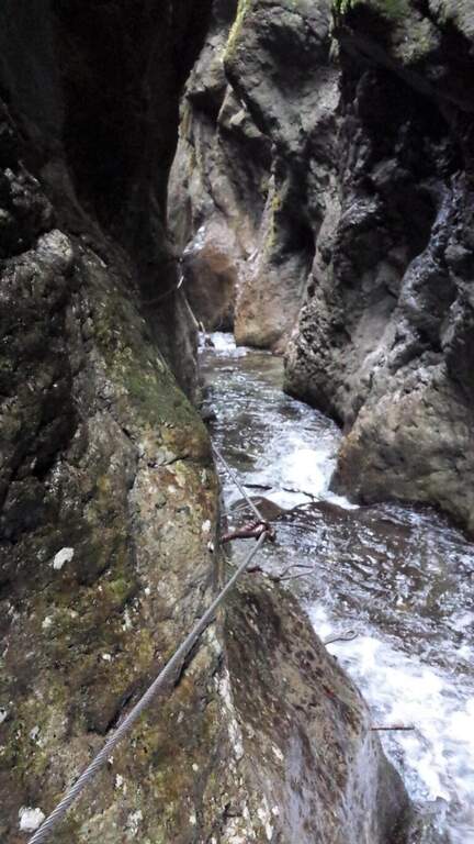
    The development è mainly on traverses and short vertical traits. It is attacked by a paretin backed under the paramassive network, climbing on rock very jagged; climb some small rocks proceed rightwards meeting the first beams and a in grip. You can reach and double a edge, with a view below sé on the ' area of the ' approach. The central part è the più challenging: a long series of horizontal and diagonal transverses from left to right, some on cambre for the feet, others in adherence, with stretches in slightly overhanging that require decision and rapidtà in the changes of muskete; without becoming extreme, the way asks for a certain physical and good habit all' exposure. You can reach a nicchia with the book cassette signatures; from here a short passage crosses a edge and the cable continues vertical for a few meters without cambre, where you should climb. After a few più meters; easy ends the central section. The final part, on small rocks and short balconies, & difficult & agrave; lower: following the uphill cable, after about ten minutes you reach the end of the street (about 45' from' attack, 1h from' car).
    ▲Character and difficulty

    Technical and athletic route, with constant exposure in the central section and very beautiful limestone rock. Recent and abundant equipment. The difficulty remains concentrated in the central part of the overhanging transverses.

    ⚠ The slightly overhanging beams require trained arms and rapidity in musketeton changes: it is not a way for those who are at first experience. Although it is of low altitude, helmet and ferrata sets are indispensable.
    ▲Period and safety

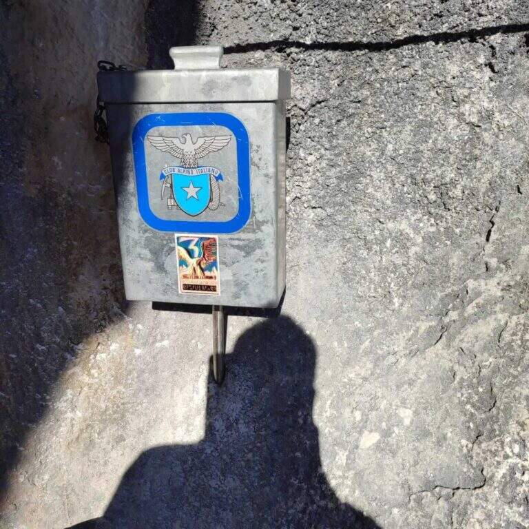
    Inaugurated on November 26, 2022 (50° anniversary of the CAI section of Spilimbergo, with the Alpini group of the 3rd Mountain artillery). Given the low altitude it lends itself to the whole year, including the beautiful winter days.

    ▲Discipline

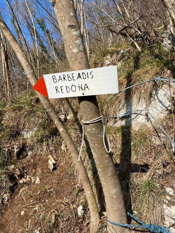
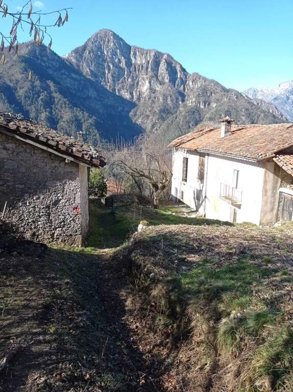
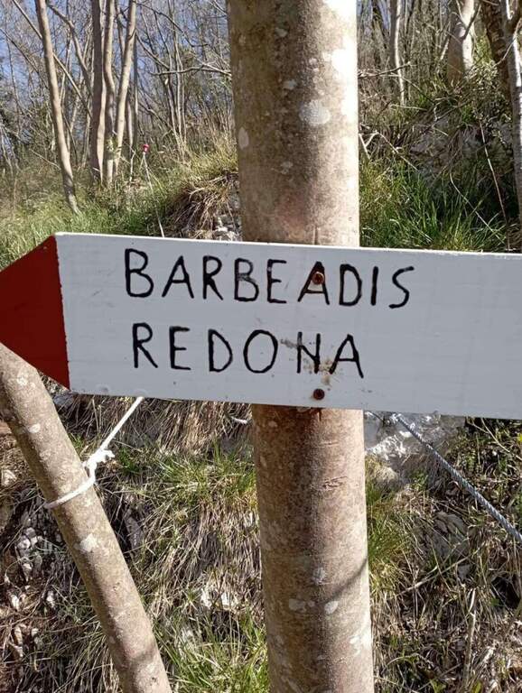
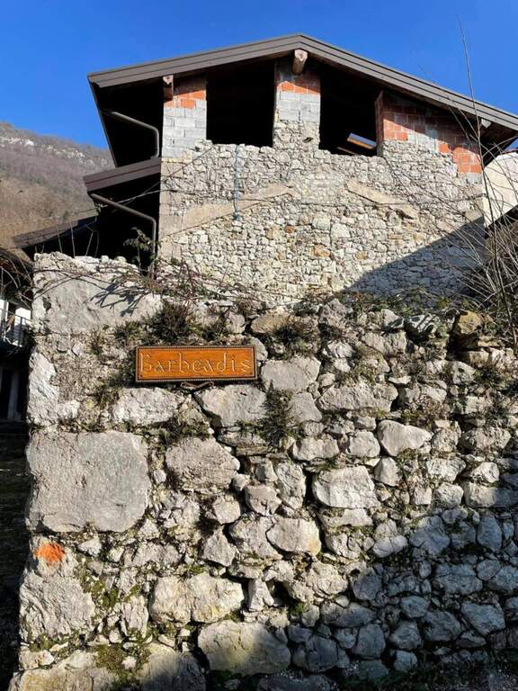
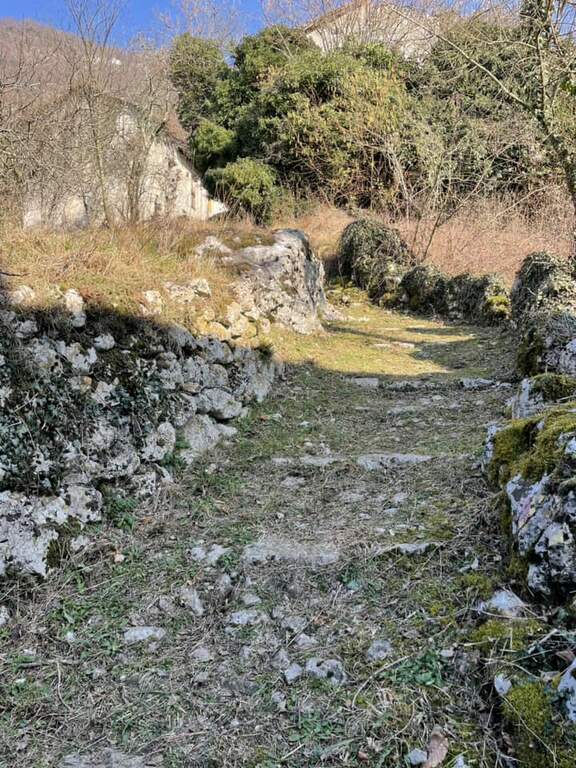
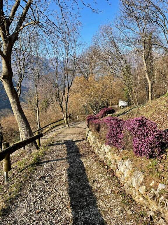
    You should not immediately remove l'imbrago: a few minutes after the term you will meet a equipped roofing channel. Following the signs you descend towards the localtà Barbeadis, a small village only reachable on foot, returning to ring along a mule track in the woods with panoramic views of the valley (about 1h 15' overall).

    ▲To match

    In the province of Pordenone there is also the Ferrata del Tramuntin e l'Alta Via dei Rondoi. Climbing to Forni di Sopra there are Ferrata Adventure Climb at Clap Varmost e la Ferrata Cassiopea al Torrione Comici.

    ▲Gallery
    Technical data
    • DifficultyHard
    • RegionFriuli-Venezia Giulia
    • ProvincePordenone
    • GroupCarnic prealps
    • Approach10 min
    • Ferrata45 min
    • Complete itinerary (a/r)1h 20'
    • Hardware level differenceca 125 m
    • Route differenceca 220 m
    • Maximumca 550 m
    • Lengthca 4 km
    • Year2022
  • Ferrata Viali at Monte Gramolon

    Ferrata Viali at Monte Gramolon

    Vie Ferrate › Veneto › Vicenza
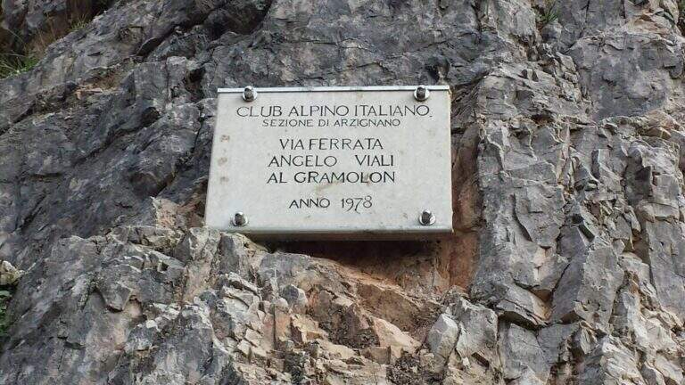
    Ferrata Viali at Monte Gramolon
    Moderately Hard● OpenDescriptionComplexityMapsGallery

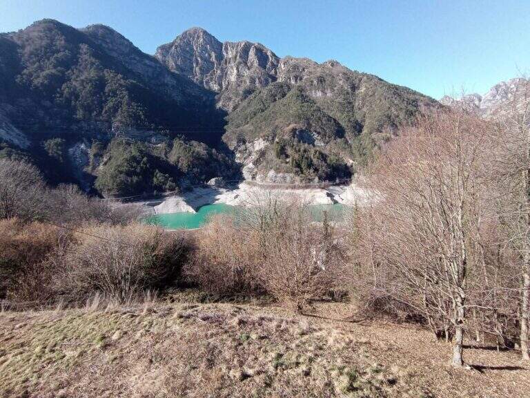
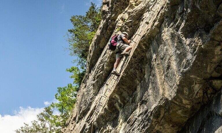
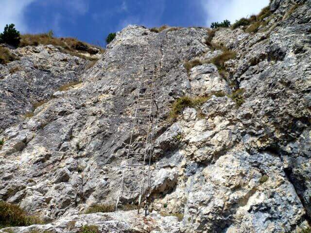
    La Ferrata Viali salt a canon under the Monte Gramolon, in the vicentino. È varied, of medium difficulty and with some pi&grave passages; challenging and athletic (in particular two overhanging walls equipped with brackets), with short approach and return and development at low altitude.

    ▲Approach

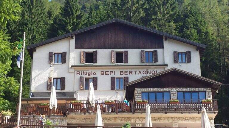
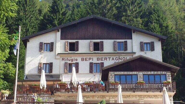
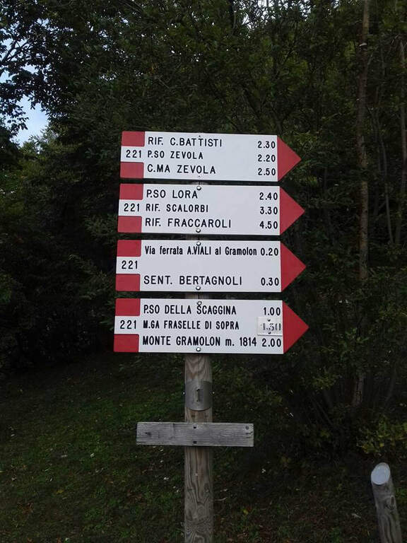
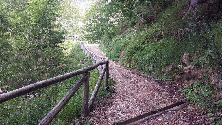
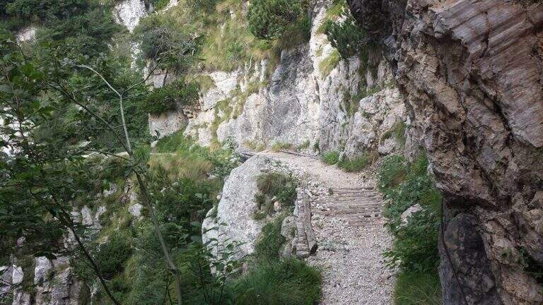
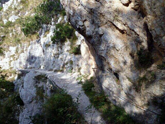
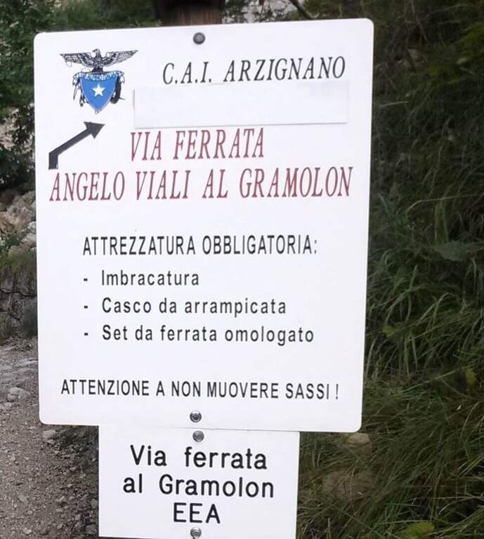
    Starting from the Rifugio Bepi Bertagnoli (1225 m), where ends the road of the valley of Campodalbero (from Arzignano to Chiampo, then right to Campodalbero). Open road signs on Google Maps. Oltre il rifugio, presso una chiesetta, una palina CAI indica a destra il sentiero 221; tra salita e discesa, con alcuni passaggi attrezzati esposti su fondo un po' franoso, si scende alla base del canalone fino al primo cartello della Ferrata Viali e all'attacco poco più in alto (20' dal parcheggio).

    ▲The path

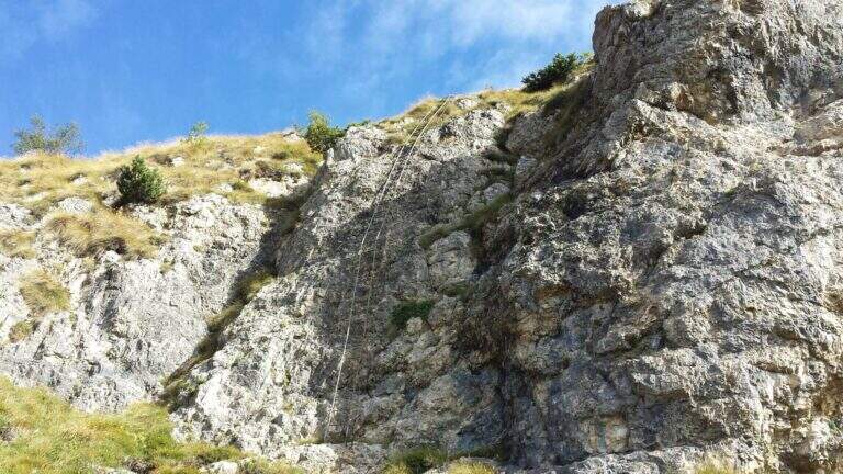
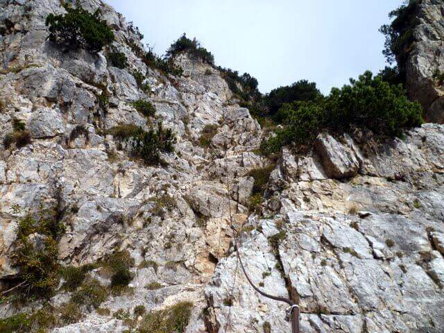
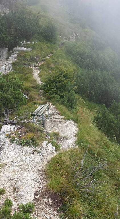
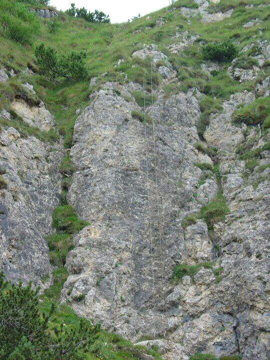
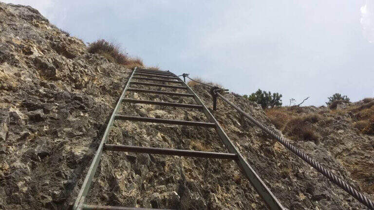
    You climb diagonally on a corner to the left of the canalone, on rock, then a traverse to the right of difficult-and-grave media; it leads to the right side of the canal. After a brief mention, the key pass is facing: a overhanging wall of about fifteen meters equipped with a long series of wide brackets (strapillating all' start, vertical in the center, again overhanging at the top). An exposed cross leads to a second wall equipped , challenging but più short, ending with diagonal brackets on a nod. There is a vertical staircase of about twenty pioli, traverses and vertical traits on poles and brackets in the canalone, a long stretch on slightly overhanging edge and a climb on the opposite side, exposed and graded. A path equipped with a bench connects to the final section: a long metal staircase of about 25 meters and a stretch of equipped path leads to the path 202, where the Ferrata Viali ends (2h from' attack).

    ▲Character and difficulty

    Fun and athletic way in the overhanging stretches, on rock not always solid. Level difference in ferrata 370 m, total 550 m, maximum altitude 1700 m, development 3.5 km. Being low altitude, to avoid on summer days too hot.

    ⚠ The bottom è composed of pebbles and unstable traits and are not rare the scariche di sassi: the helmet è absolutely mandatory and you need not to move rocks on the canal to the following.
    ▲Discipline

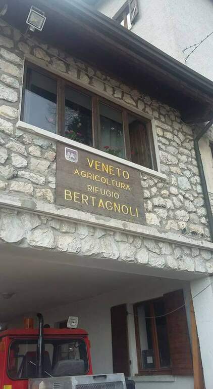
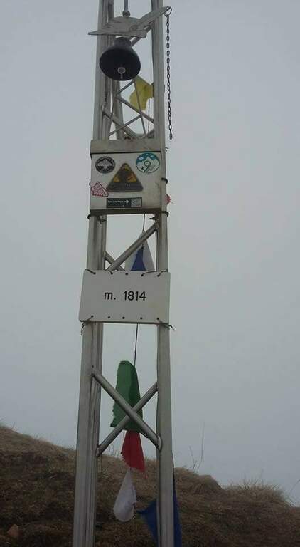
    Per rientrare al Rifugio Bertagnoli si segue il sentiero 202 a sinistra, si attraversa una galleria militare (non serve la torcia) fino a un ripido sentiero prima del Passo di Scagina che scende nel bosco, passando accanto al monumento a Bepi Bertagnoli, fino all'attacco della ferrata (40' dal termine) e quindi a ritroso al parcheggio (circa 1h dal termine, 3h 30' totali). In alternativa si può proseguire verso la vetta del Gramolon.
    ▲To match

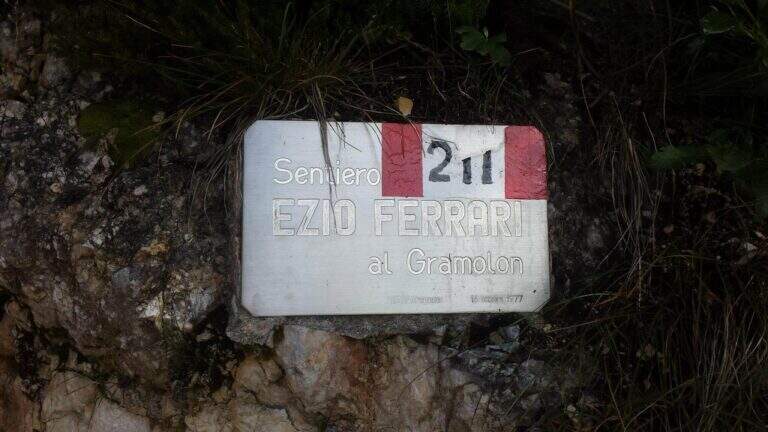
    On the same Gramolon Ferrata Ezio Ferrari; not far, towards the Carega, the Ferrata Campalani.

    ▲Gallery
    Technical data
    • DifficultyModerately Hard
    • RegionVeneto
    • GroupSmall Dolomites
    • Approach0:20 h
    • Ferrata2:00 h
    • Itinerary (a/r)3:30 h
    • Hardware level difference370 m
    • Route difference550 m
    • Max1700 m
    • Length3,5 Km
  • Ferrata Crench

    Ferrata Crench

    Vie Ferrate › Lombardy › Brescia
    Ferrata Crench
    Moderately Hard● OpenDescriptionComplexityMapsGallery

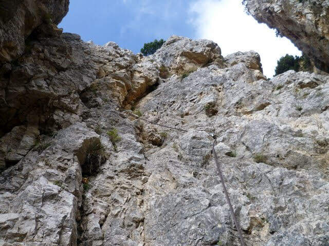
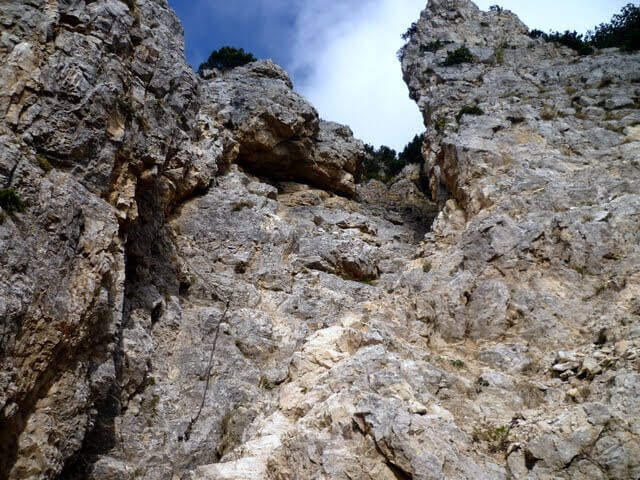
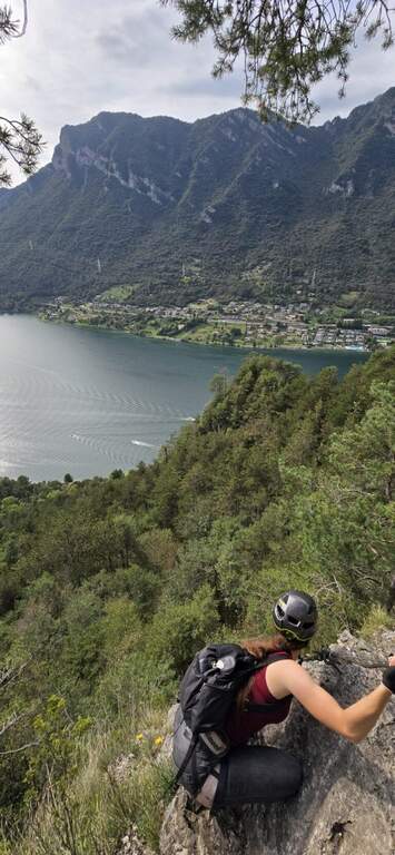
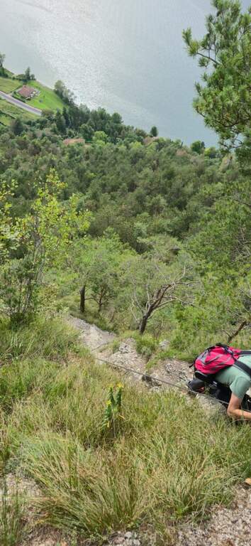
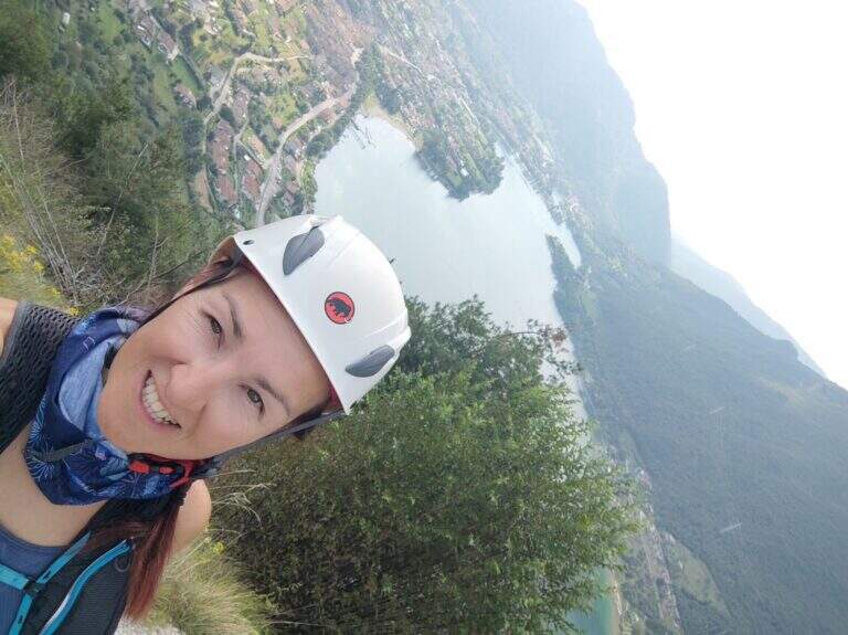
    La Ferrata Crench è una bella via di media difficoltà sopra Crone, con il Lago d’Idro alle spalle. La linea è logica e priva di difficoltà particolari, salvo un paio di passaggi atletici; il breve avvicinamento e rientro e la bassa quota la rendono ideale da concatenare con altre ferrate della zona o come gita di mezza giornata.

    ▲Approach

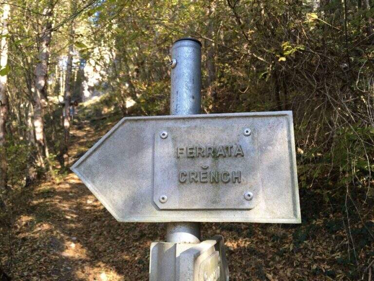
    Punto di partenza l’abitato di Crone, sul versante orientale del Lago d’Idro (Brescia): superato il paese, pochi metri dopo una casa bianca sul lato sinistro della strada, si imbocca a destra via Preonde, che sale ripida; seguendone la curva a sinistra si raggiunge un parcheggio con le indicazioni per la ferrata (starting point on Google Maps). Dal parcheggio si seguono i segni del CAI 452 che parte verso sinistra tra i muri delle case; nel bosco, a un bivio, si lascia a destra il 452 per Cima Crench e si tiene la sinistra verso la palestra di roccia e la ferrata; a un nuovo bivio (a destra la palestra) si prosegue diritti fino al cartello bianco dell’attacco (15′ dal parcheggio).

    ▲The path

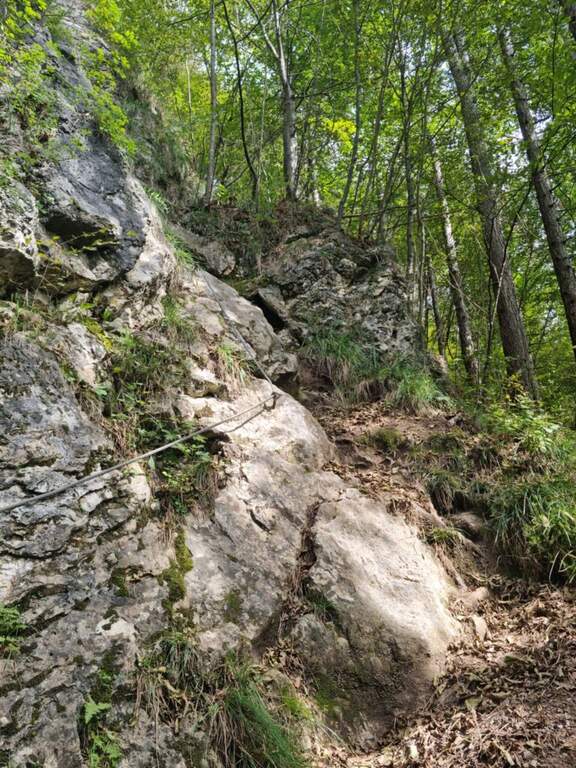
    La via inizia con una breve cengia ascendente verso destra che porta sotto uno dei passaggi più belli: una parete verticale con ottimi appigli, arrampicabile, con il tratto finale leggermente più difficile dove il cavo aiuta l’equilibrio. Si piega a sinistra su alcune roccette e si sale un breve diedro, agevole, con appigli su entrambi i lati; un facile sentiero e una cengia in discesa portano a una via di fuga segnalata da un cartello metallico. Accanto al cartello il cavo sale verticale, su roccia perfettamente appigliata; dopo un facile traverso a destra si affronta un secondo tratto più impegnativo, con una sporgenza dagli appoggi alti per i piedi che obbliga a un paio di metri di trazione sul cavo, poi nuovamente arrampicabile. Si percorre una cengia e un breve verticale aiutati da una staffa, si aggira a sinistra un tetto roccioso e, dopo un traverso non difficile, si sale una placca levigata con staffe e una sporgenza nella parte alta. Superate alcune roccette si arriva al passaggio chiave: un breve tratto strapiombante, dove si risale una sporgenza per un paio di metri aiutati da una catena (lasca ma utile) sul lato sinistro, che permette di compensare la mancanza di appigli naturali tirandosi di braccia. Concluse le difficoltà, una breve cengia di trasferimento porta sotto le ultime due pareti verticali, non difficili e arrampicabili; un facile sentiero attrezzato e un tratto di cresta conducono infine alla croce di vetta di Cima Pelada (778 m).

    ▲Character and difficulty

    Via di media difficoltà (Moderatamente Difficile), in gran parte arrampicabile su buona roccia, con un paio di passaggi atletici — in particolare la sporgenza strapiombante del passaggio chiave, attrezzata con catena. 288 m di dislivello attrezzato in ambiente panoramico sul Lago d’Idro.

    ⚠ I passaggi atletici (la sporgenza con appoggi alti e lo strapiombo finale con la catena) richiedono un po’ di forza di braccia: chi è alle prime armi li troverà i punti più ostici. Casco indispensabile sui tratti verticali.
    ▲Period and safety

    Bassa quota (massimo 778 m): percorribile gran parte dell’anno con roccia asciutta. Itinerario breve, 3 km e 328 m di dislivello, circa 2 ore complessive: ideale per essere concatenata in giornata con altre vie della zona.

    ▲Discipline

    Dalla cima di Cima Pelada si rientra per sentiero, con breve sviluppo, fino al parcheggio di partenza sopra Crone.

    ▲To match

    Nel Bresciano, la Crench si concatena facilmente con la più impegnativa Ferrata Caspai a Lodrino e, sul Lago d’Iseo, con il Sentiero Attrezzato al Corno di Trentapassi.

    ▲Gallery
    Technical data
    • DifficultyModerately Hard
    • RegionLombardy
    • GroupLago d'Idro – Valle Sabbia
    • Approach0:15 h
    • Ferrata1:15 h
    • Itinerary (a/r)2:00 h
    • Hardware level difference288 m
    • Route difference328 m
    • Max778 m
    • Length3 Km
Need help? Write to us!