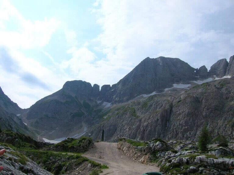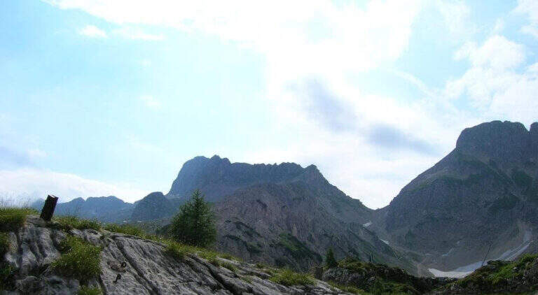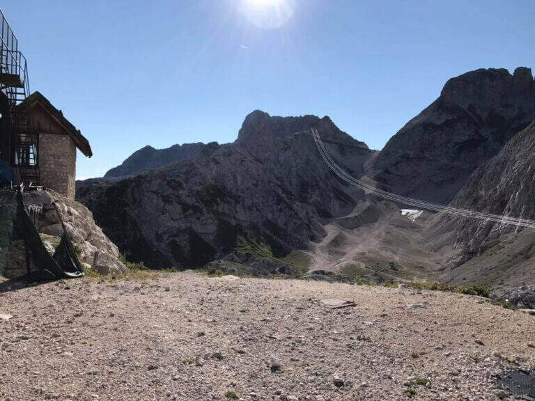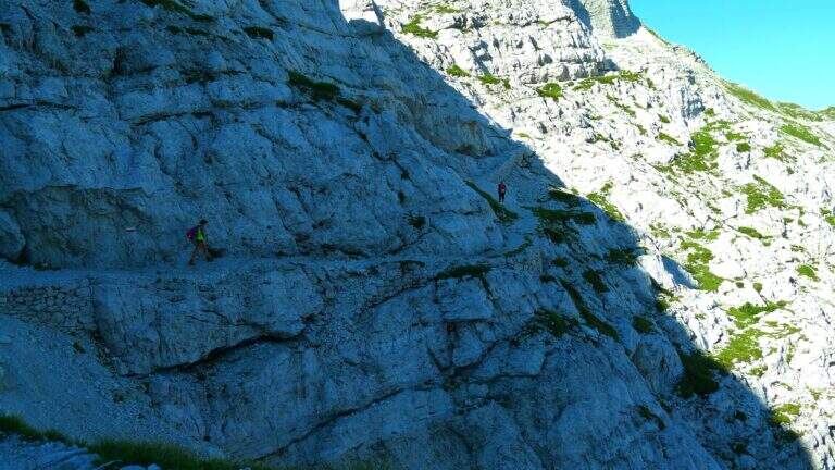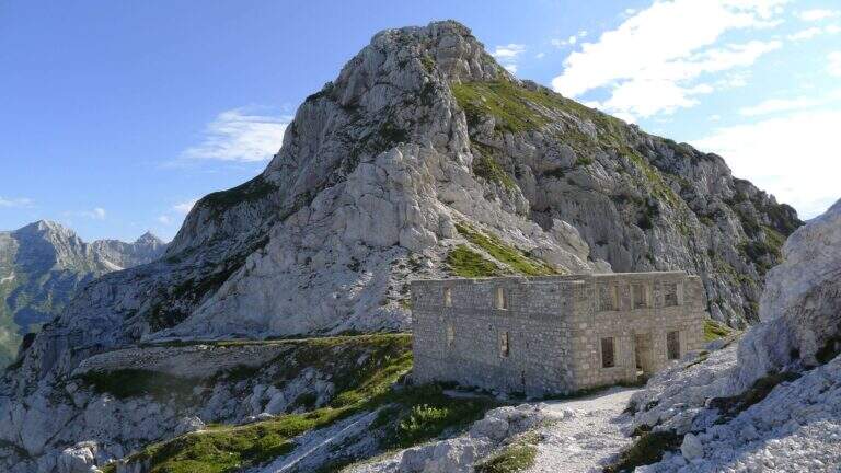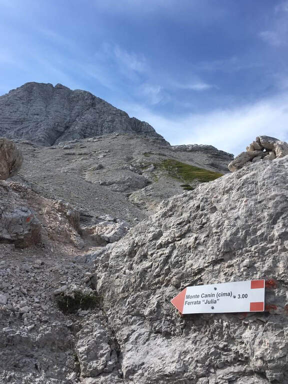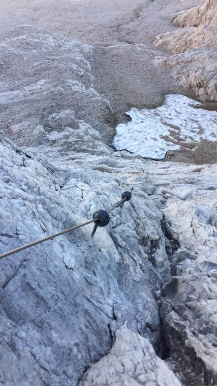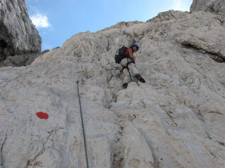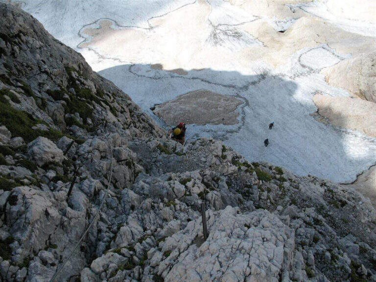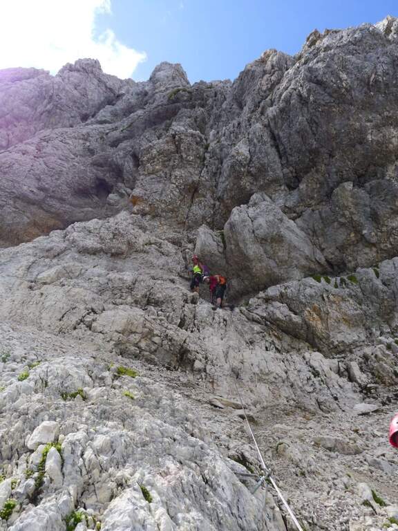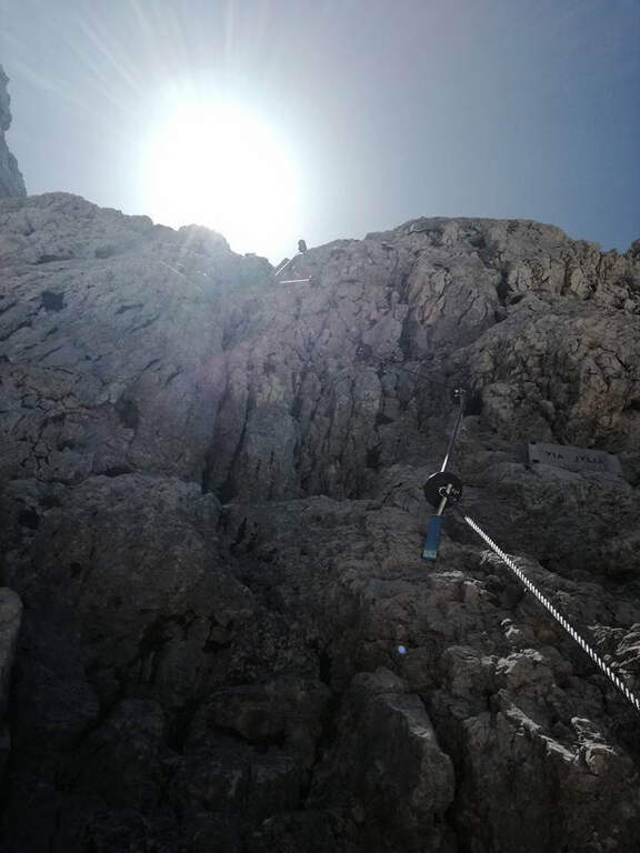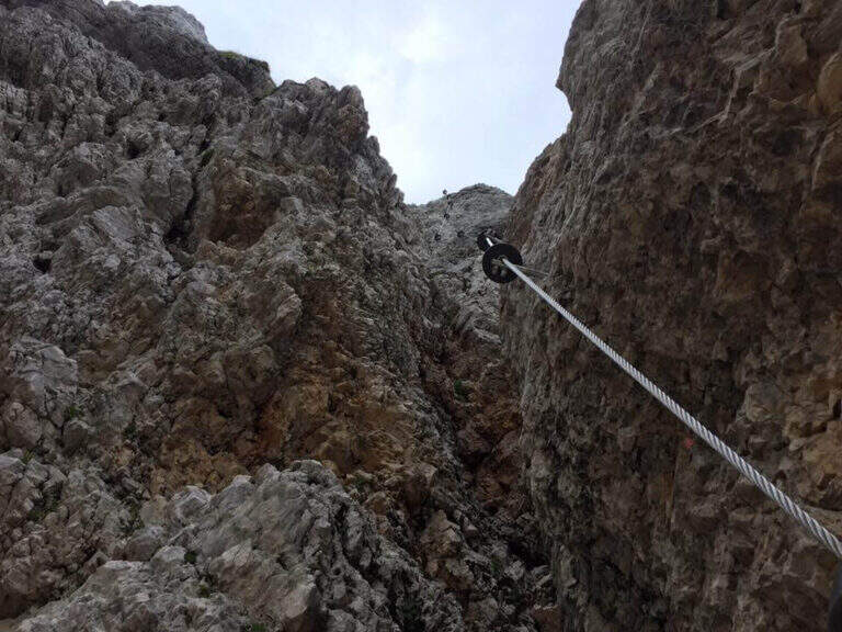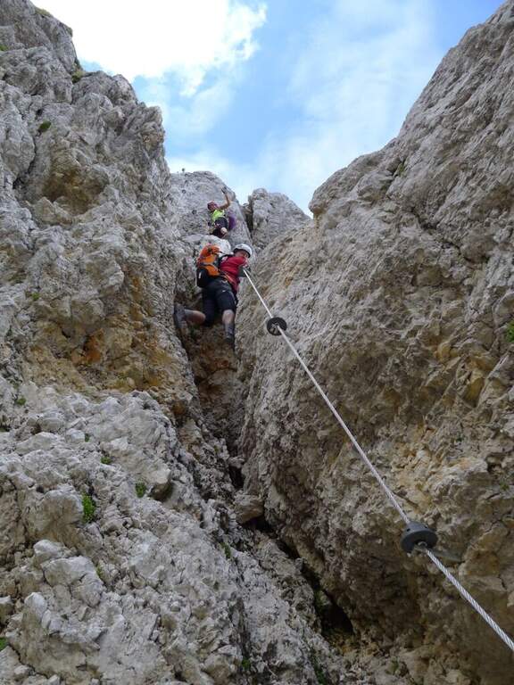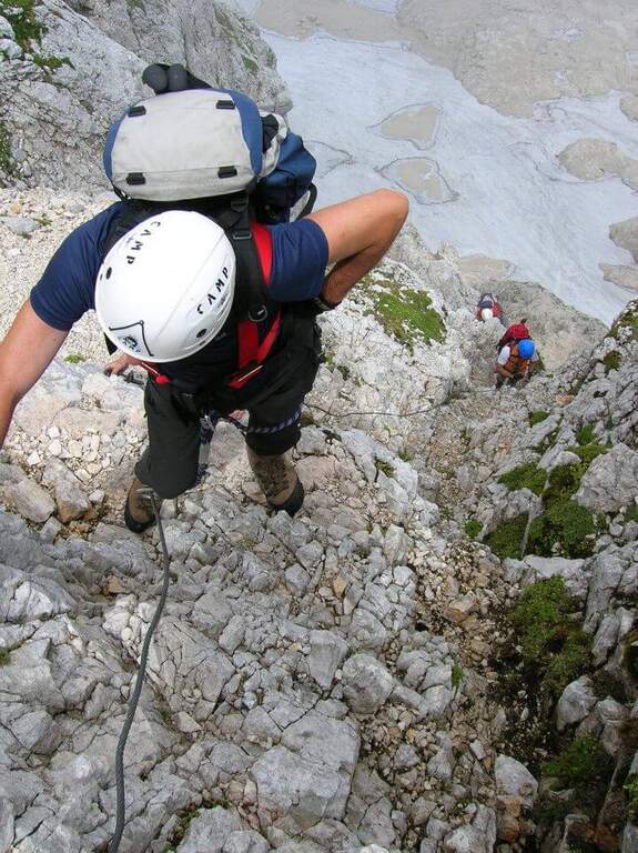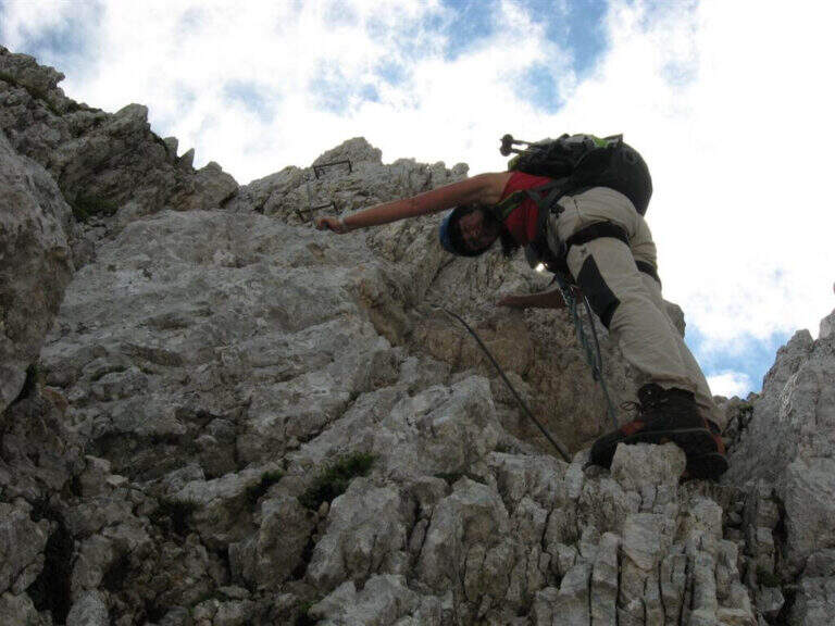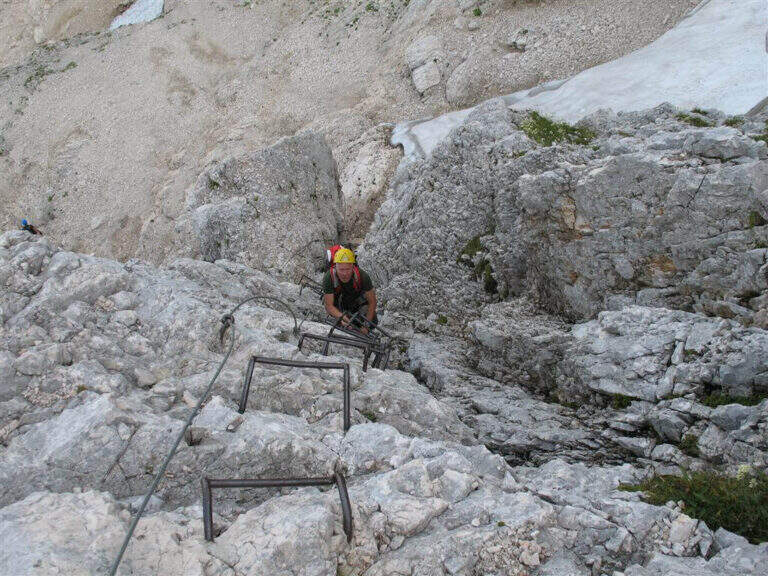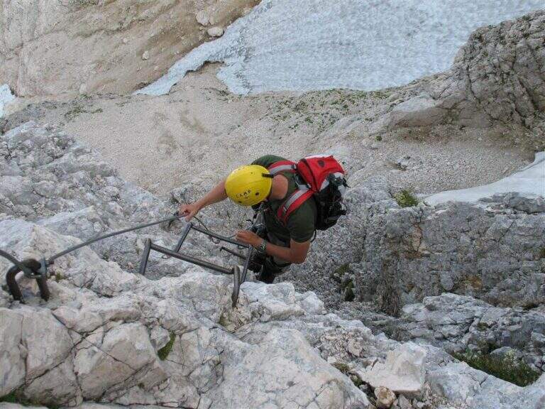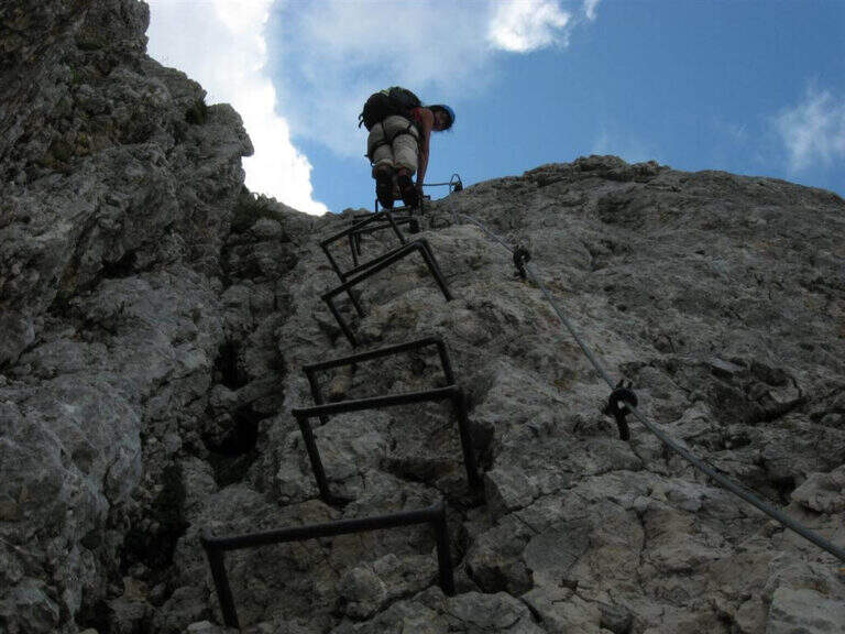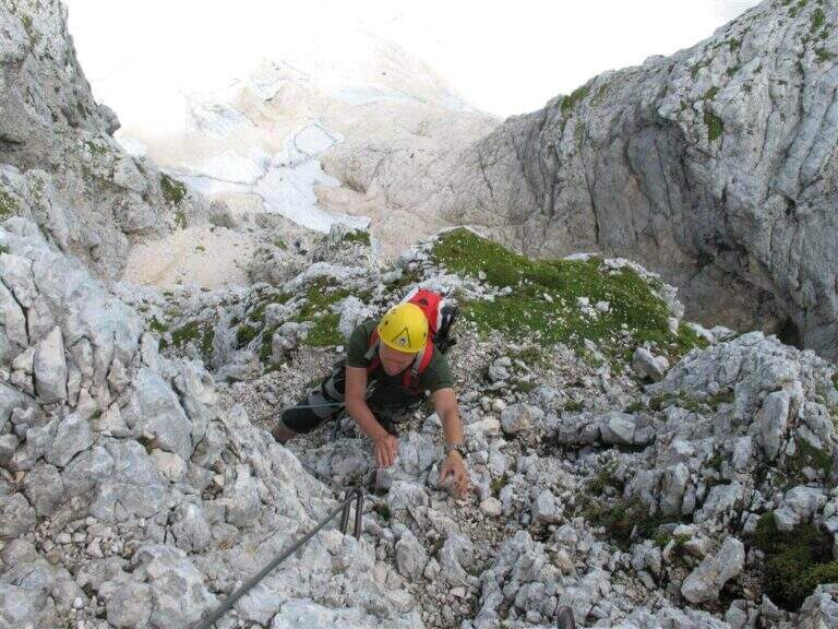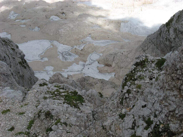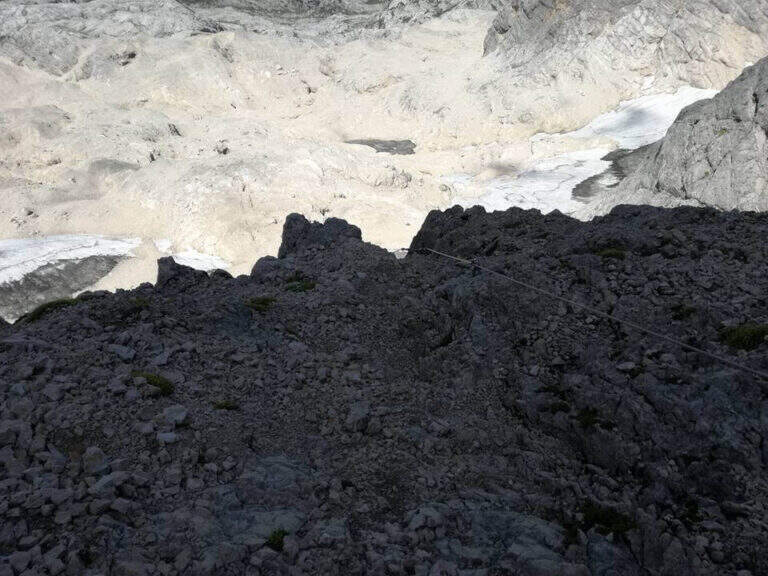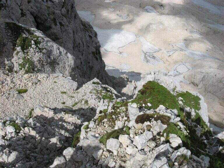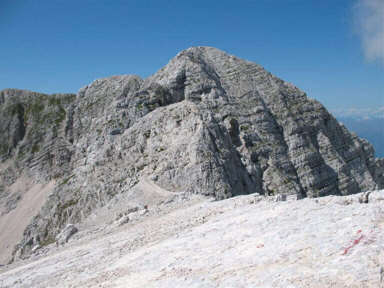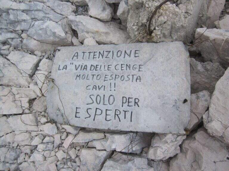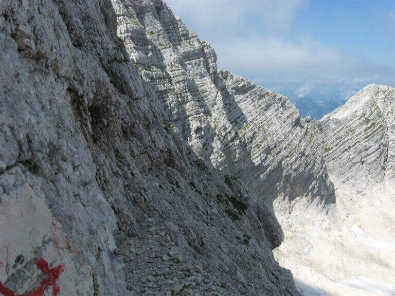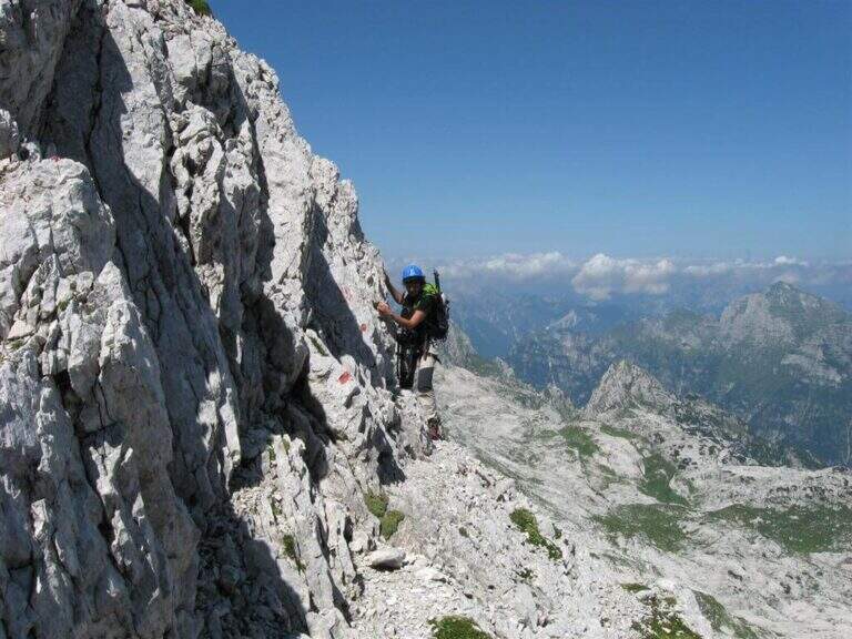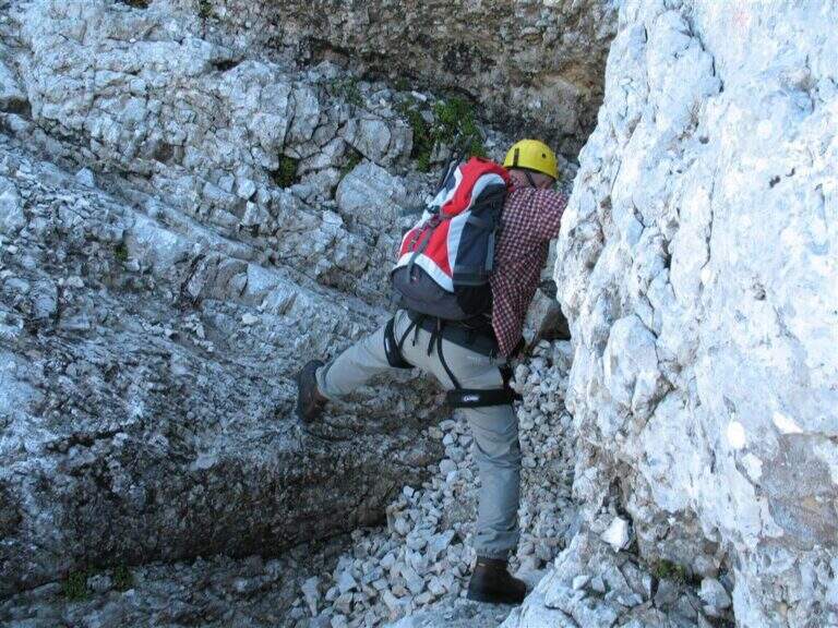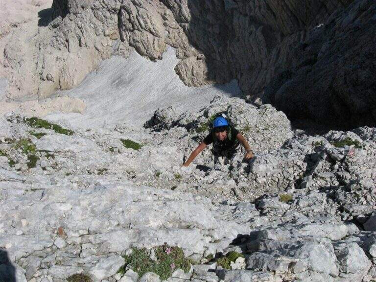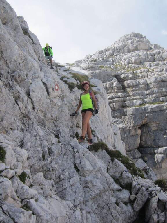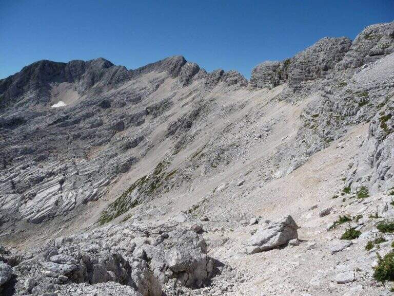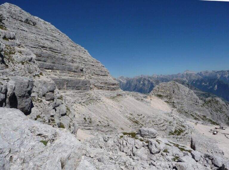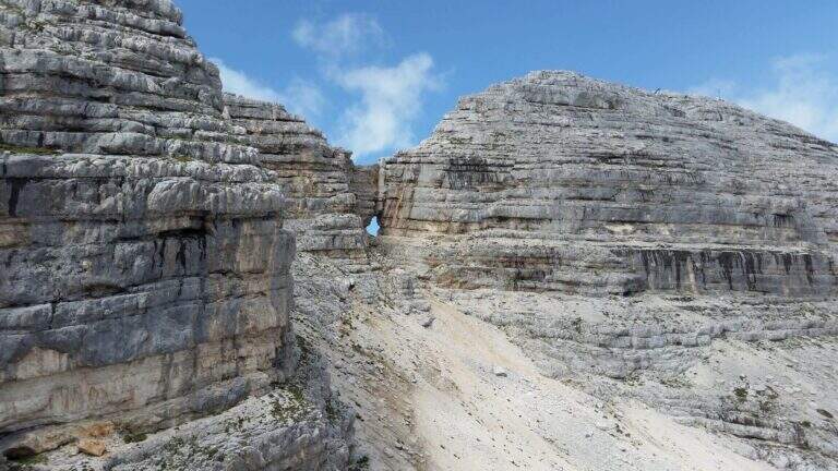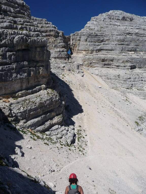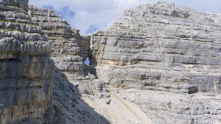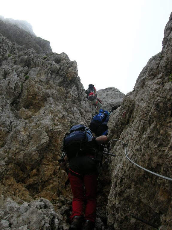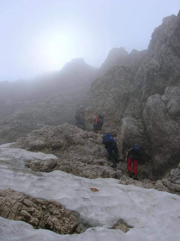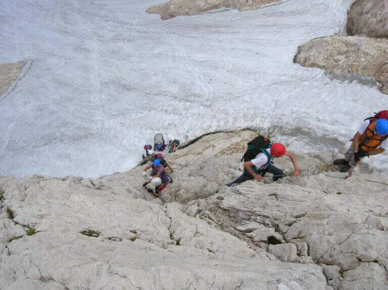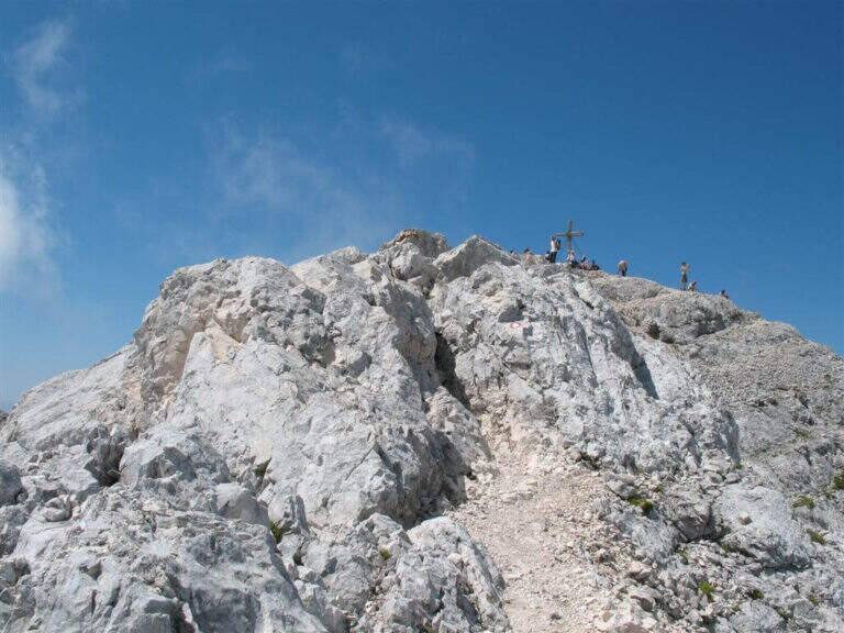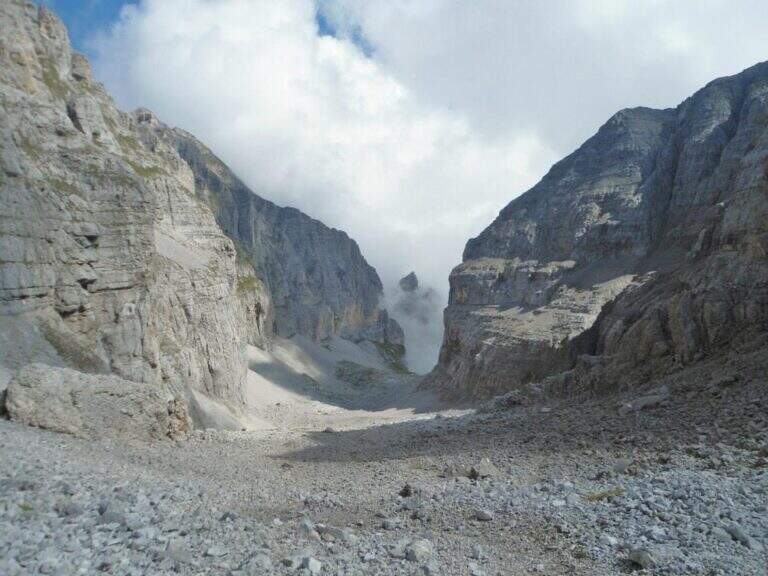
La Ferrata della Val Gelada it is part of an itinerary that dates back to the steep valley under the Horn of Flavona, in the northern Brenta Dolomites (Trento). The equipped sections do not have particular technical difficulties, but the harsh environment, the high altitude difference and several exposed passages reserve it to trained and experienced hikers.
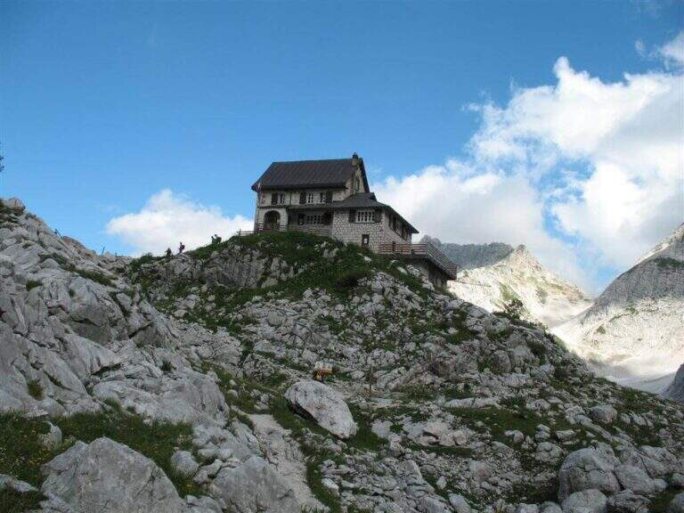
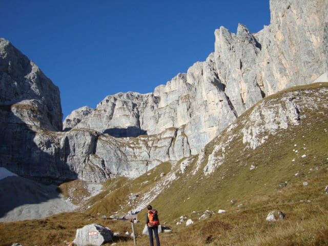
L' ring described here è the più way; short and simple to travel the ferrata and starts from the Lago of Tovel. You reach Tuenno, on the eastern side of the Brenta, and at a crossroads on the left follow the signs for Lake Tovel along about 11 km asphalt road; at the end, on the right, c'è a first parking, then continue on the dirt road in front following the indications for the Chalet (about 2 km). Open road signs on Google Maps. From Lake Tovel, take the sentiero CAI 314 towards Malga Tuenna; go up comfortably on track until you cross the CAI 312 (Sentiero della Dena), steep west. Ignored a first crossroads on the right, follow the signs to Malga Tuenna and then to Passo della Val Gelada (CAI 380), passing a first equipped section. Exit from the wood you can reach l' crossroads with the CAI 306 (Sentiero Attrezzato delle Palete): you ignore it and you drive west to the crossroads of the Val Gelada Pass (2171 m, about 2h from the parking lot).
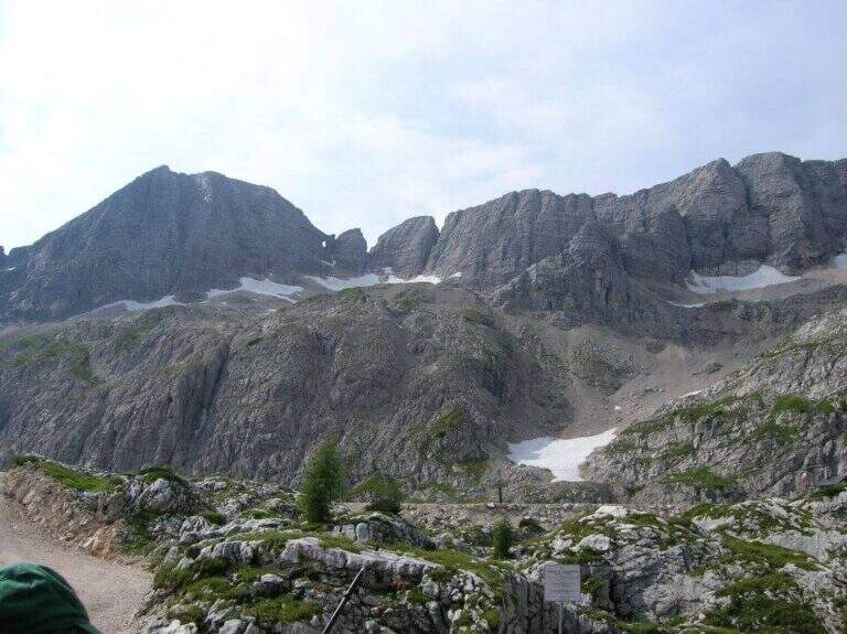
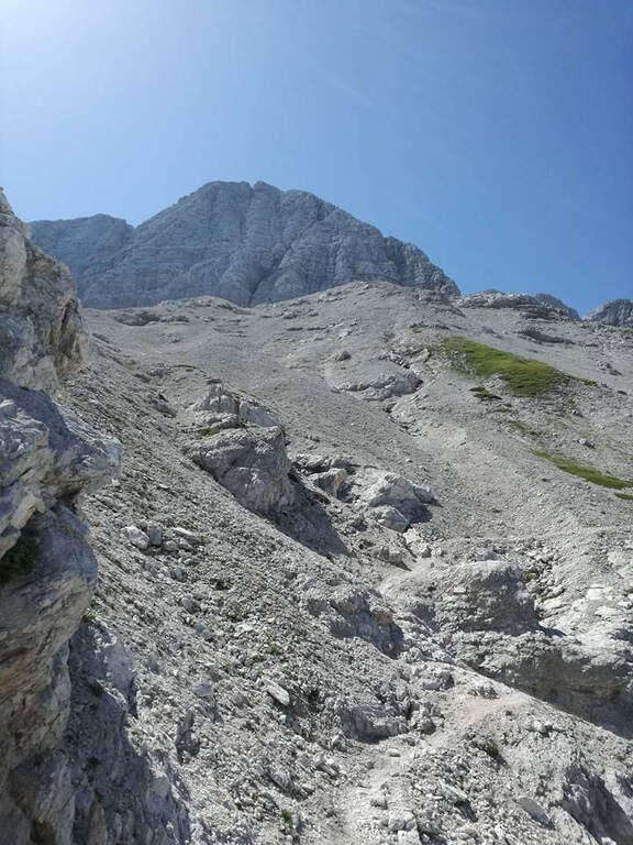
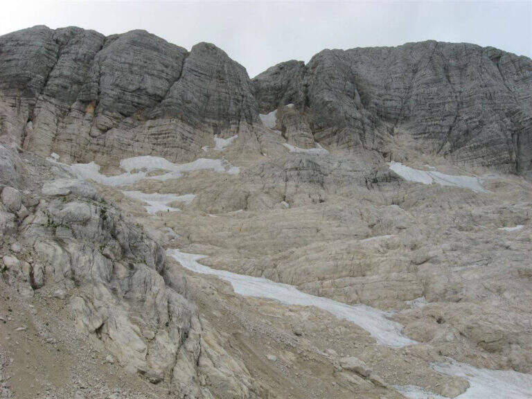
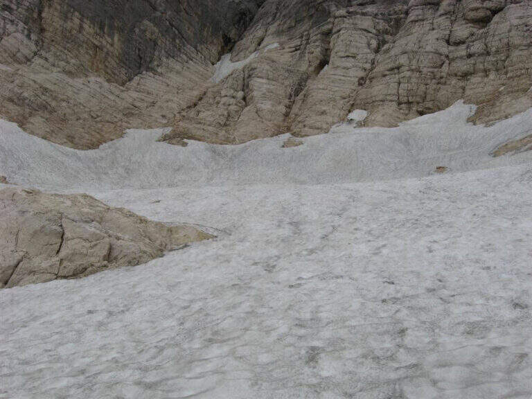
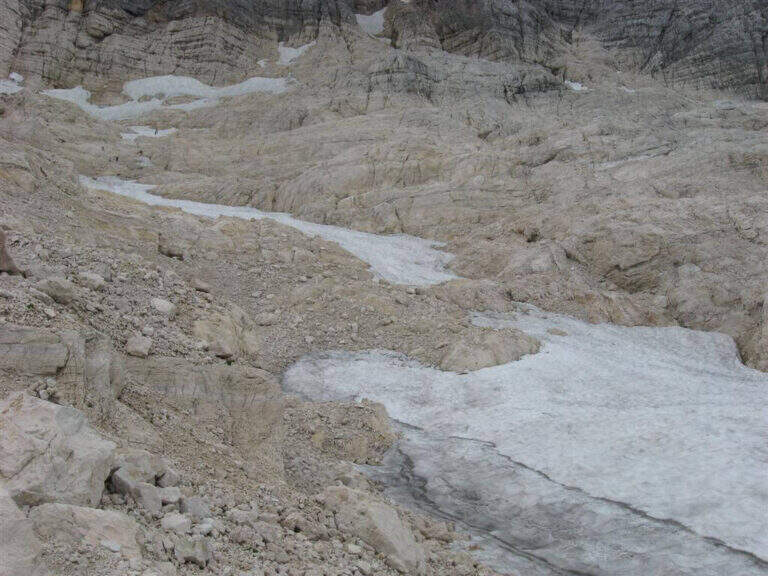
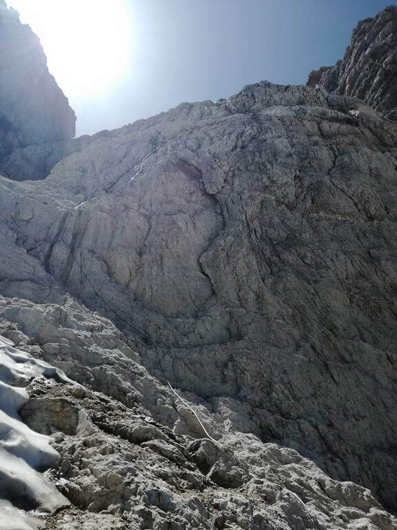
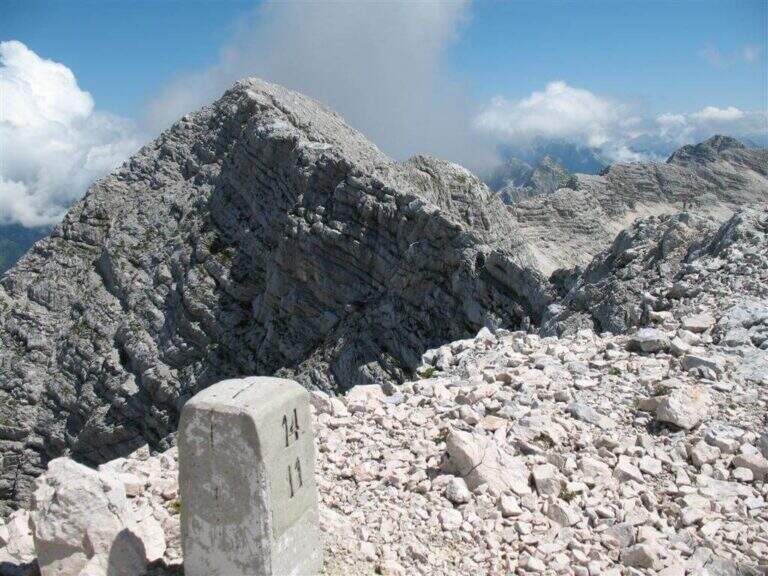
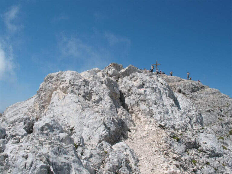
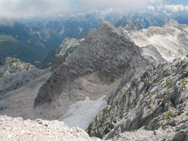
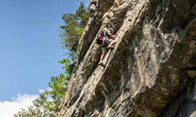
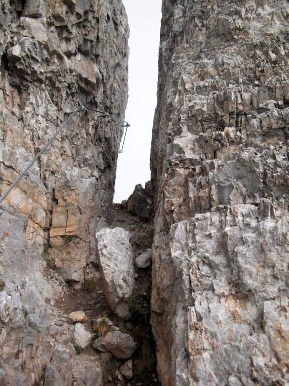
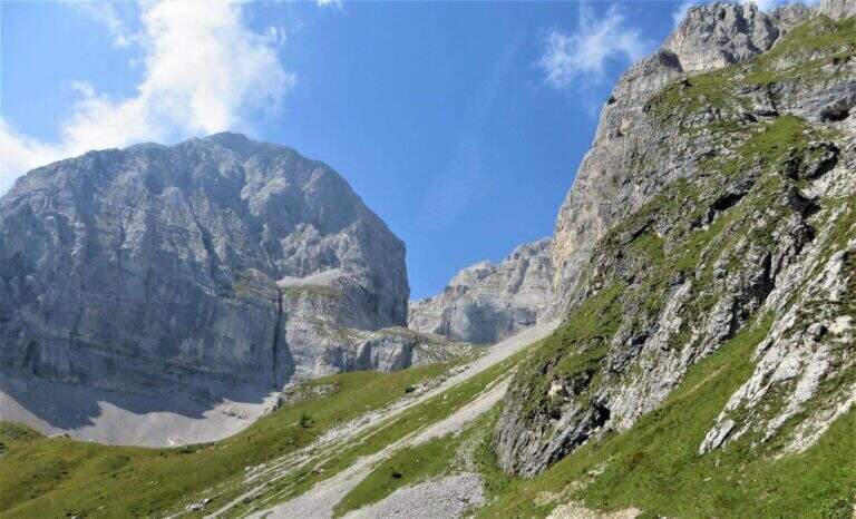
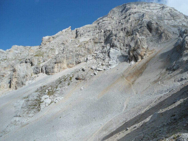
The CAI 380 that goes up the Val Gelada: the stretch è definitely tiring and earns almost 500 m of altitude difference. As you enter the inner part of the valley you can see a rocky bastion where some ports are equipped in a canal allow you to overcome it without excessive difficulty. A last equipped section leads to the Passo di Val Gelada (2686 m, about 4h from the parking lot), crossroads with the Costanzi Mountain Trail (CAI 336). Here the sinistra is held towards the Three Sassi's Bocchetta: some vertical sections equipped with ropes and stairs, then a stretch of path not particularly difficult, lead to the Three Sassi (2613 m, 45' from the Pass, 4h 45' overall).
The two iron sections help to overcome jumps that pass the first degree, but the major pitfalls are the alpine character of the excursion, length and exposure. There are also a couple of unprotected grade I climbing routes. The Val Gelada is among the wildest and least frequented corners of the Brenta.
Dalla Bocchetta dei Tre Sassi si prende il CAI 334, dapprima in falso piano verso sud e poi in discesa nella Val delle Giare lungo un vallone detritico, fino a incrociare il CAI 306 (Sentiero delle Palete) con un paio di tratti attrezzati e una scaletta da scendere; lo si ignora e si continua a scendere fino al CAI 314, che si prende a sinistra verso il Rio Tresenga riportando comodamente al Lago di Tovel e al parcheggio (2h 30' dalla Bocchetta, 7h 30' complessive).
L' può ring; be composed in different ways: often it matches the Sentiero Attrezzato delle Palete o al Alpine trail Costanzi (both very difficult, for experts), perhaps continuing towards Sentiero Attrezzato Vidi. Going to the Grostè Pass for the overnight stay you can then continue south towards the Ferrata Benini e le Bocchette Alte.
- DifficultyModerately Hard
- RegionTrentino-Alto Adige
- ProvinceTrento
- GroupDolomiti di Brenta
- Approach2h
- Equipment3h
- Ring itinerary7h 30'
- Level difference100 m
- Route difference1508 m
- Maximum2686 m
- Length21 km