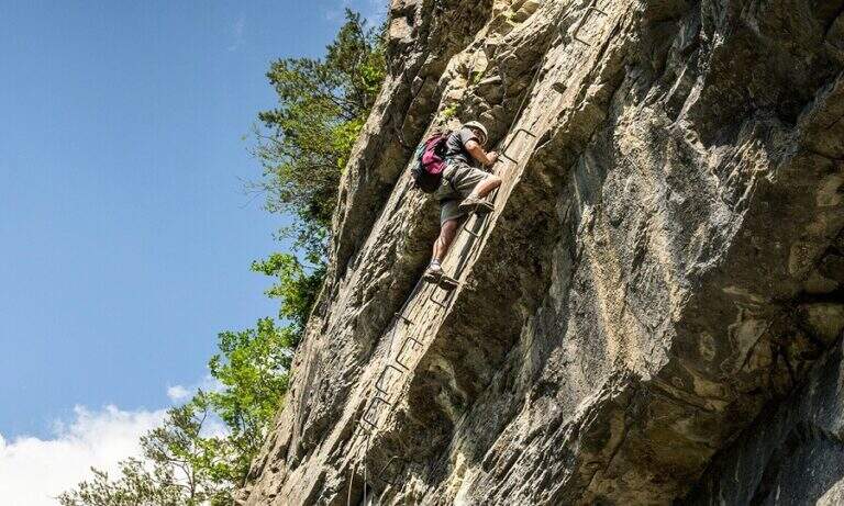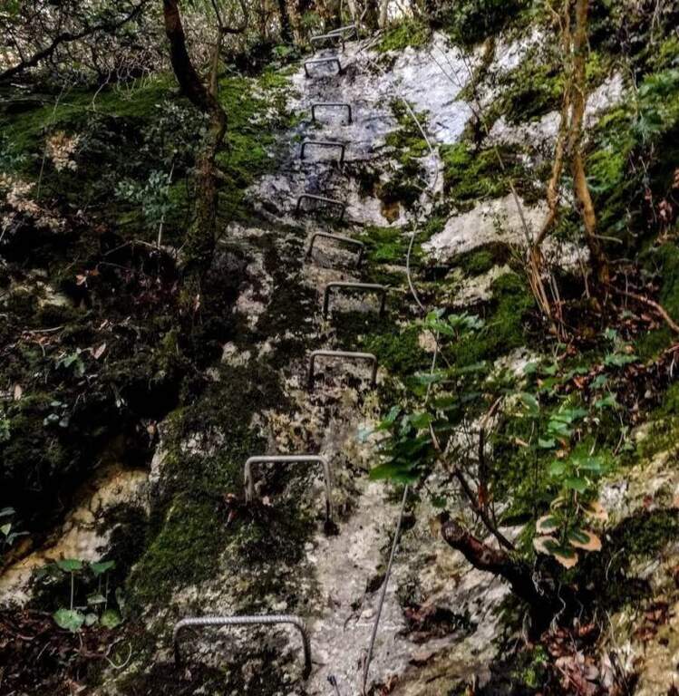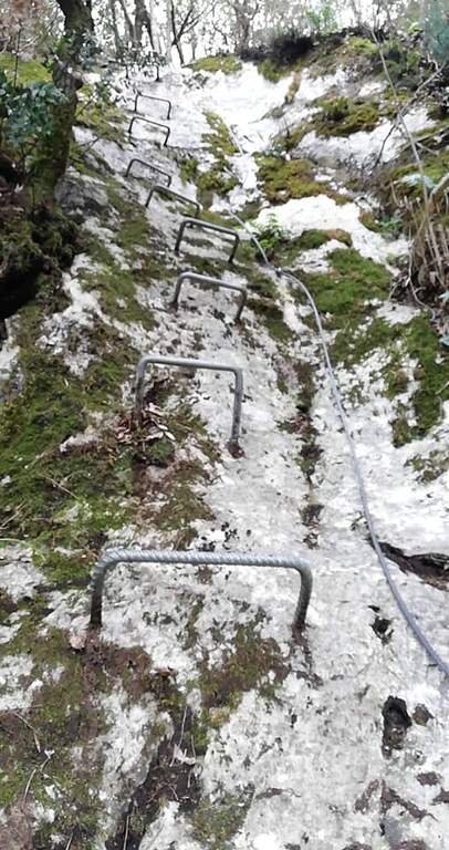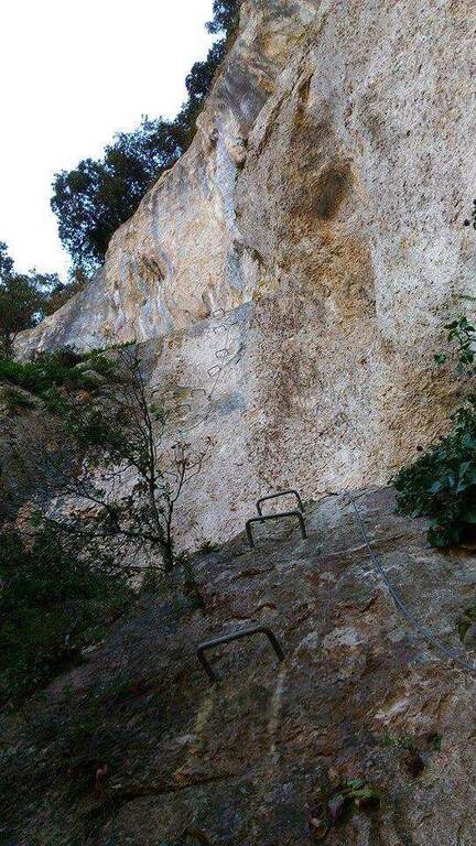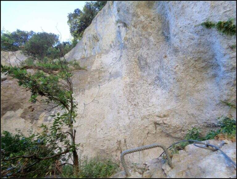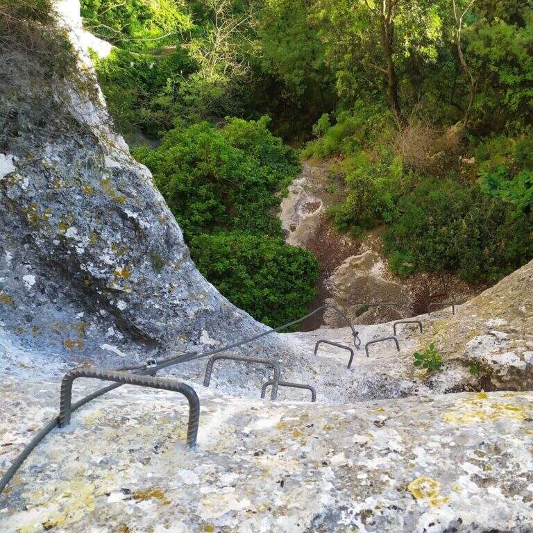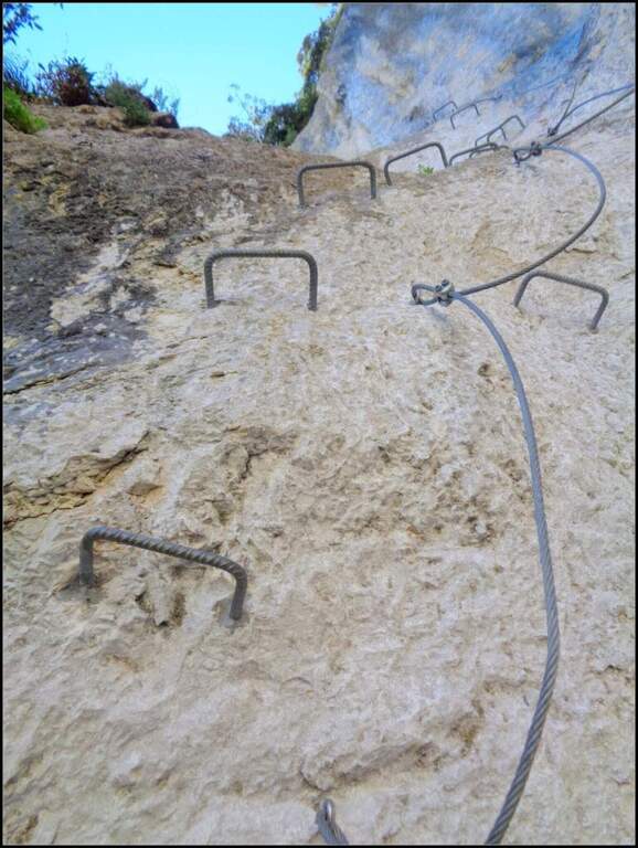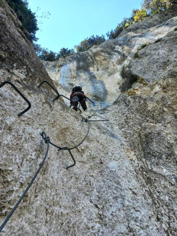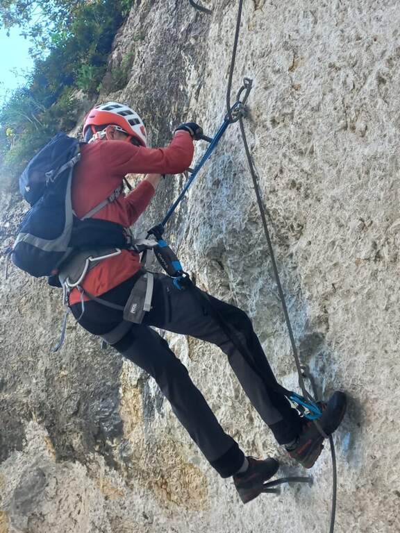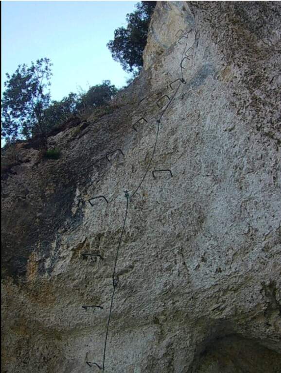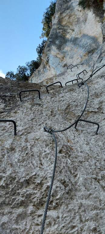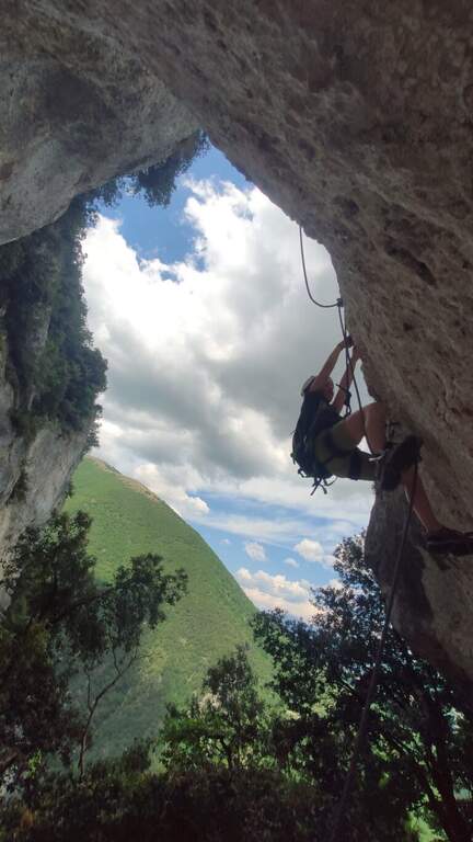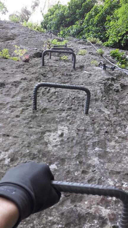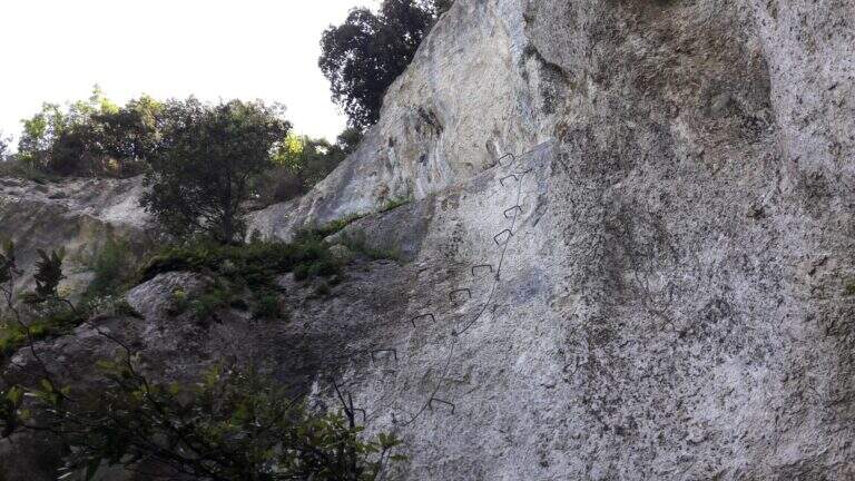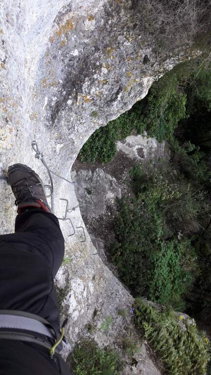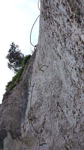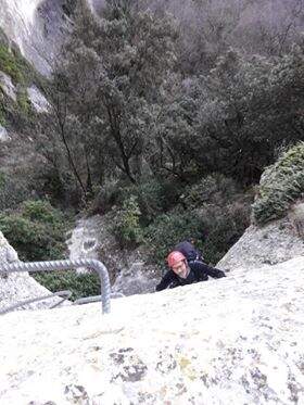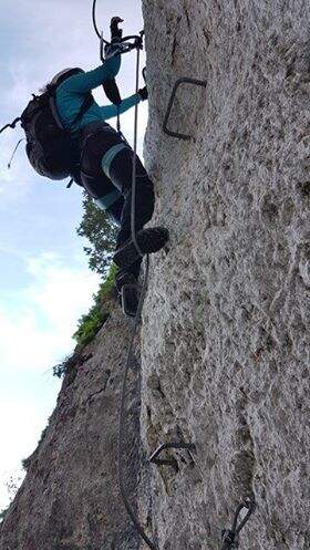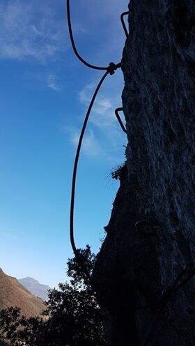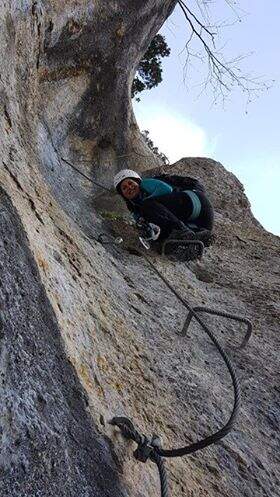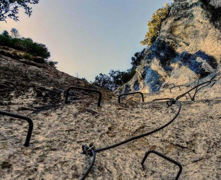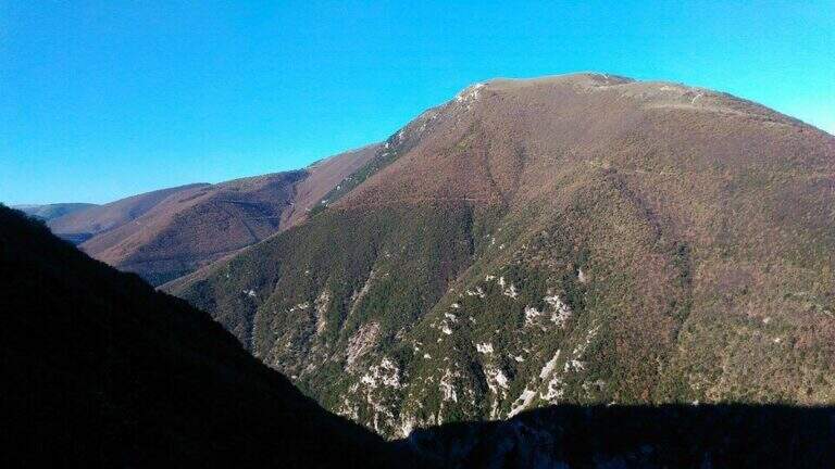
Il Valimpach equipped trail over Caldonazzo in Valsugana (Trento). It is not very tiring, but it requires attention to the exposure of some sections, some more challenging points and a thick wet and mossed rock for much of the route.
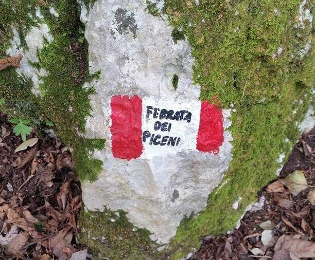
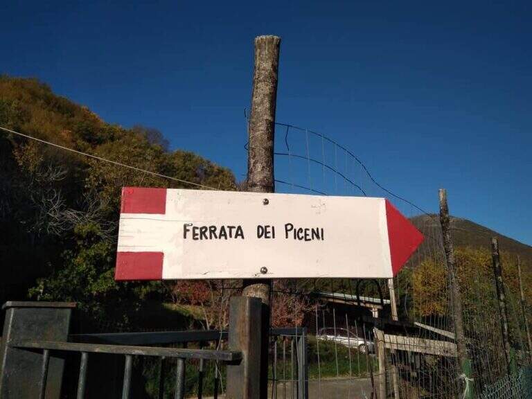
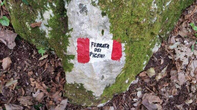
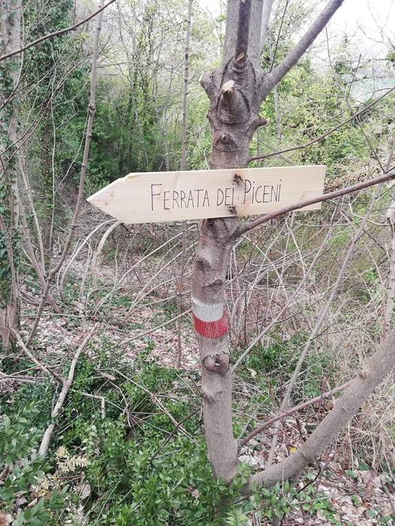
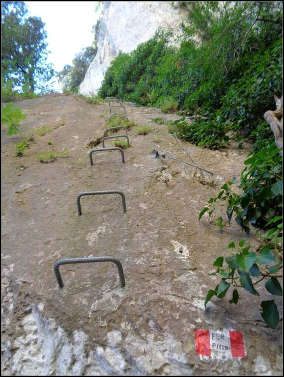
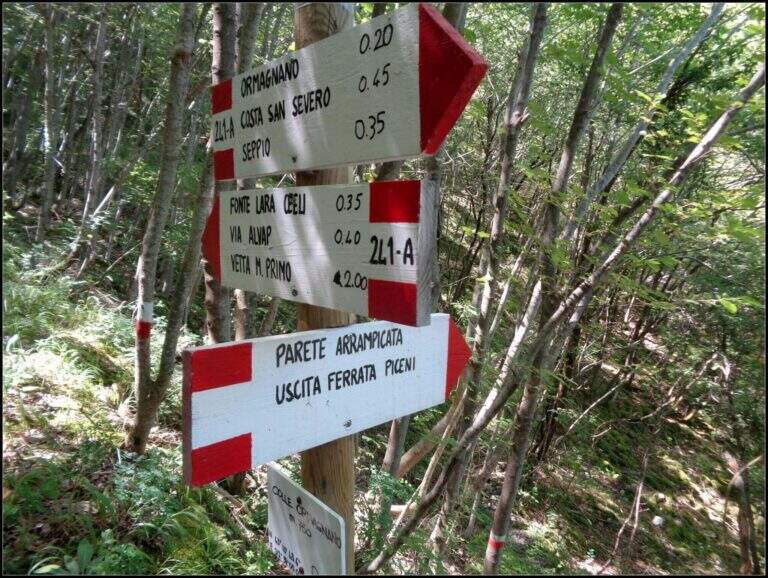
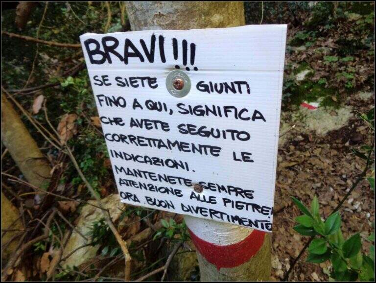
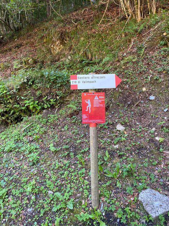
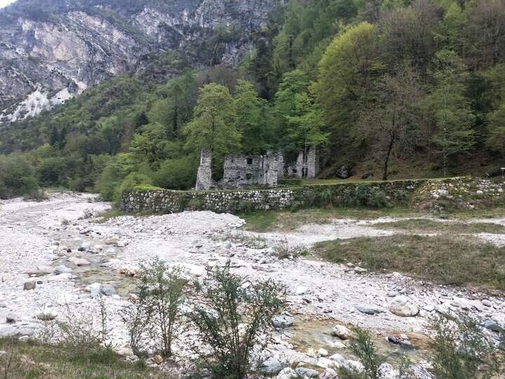
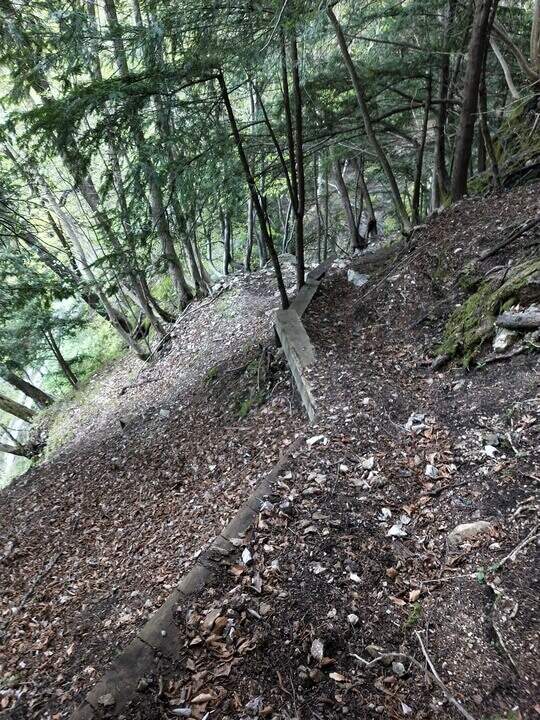
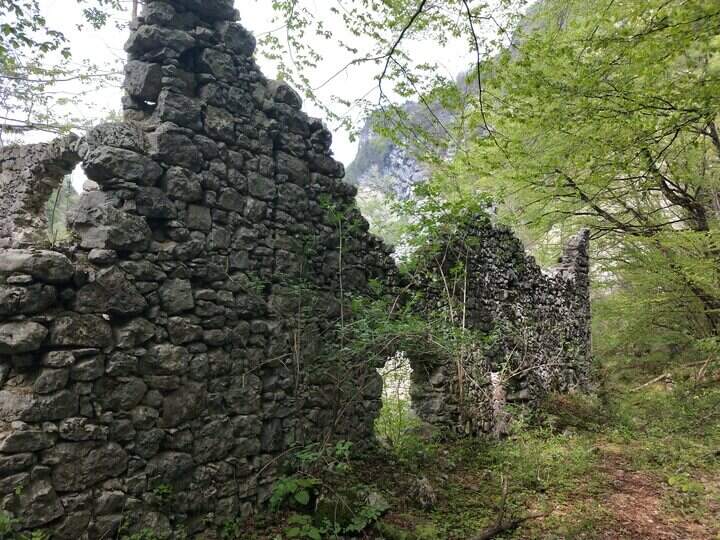
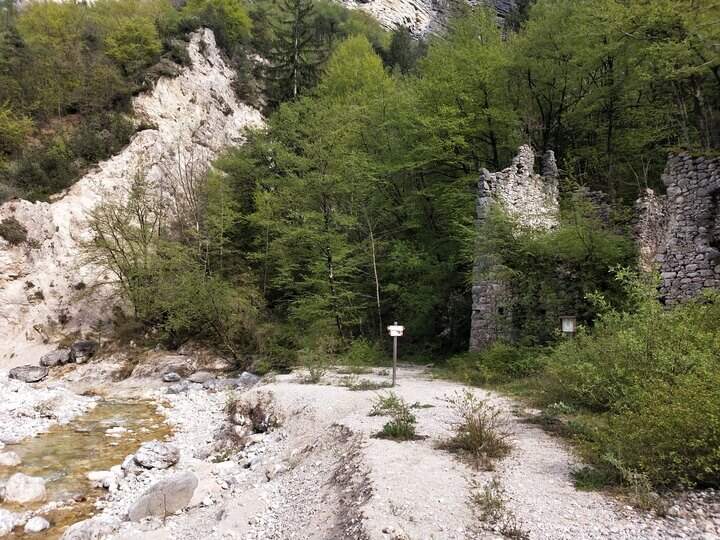
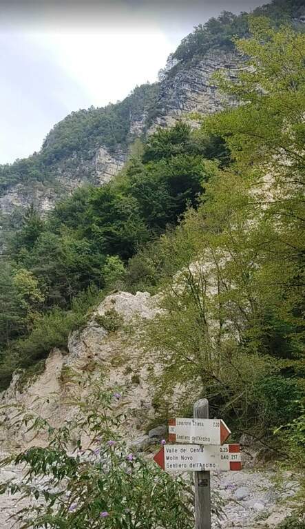
Joints Caldon take the SP108, you pass the restaurant Speckstube on the left and you reach the park n. 3, just under the hamlet of Valle in the direction of Centa San Nicolò, always on the left. Open road signs on Google Maps. Who wants può starting from parking spaces n. 1 or n. 2 (always on the SP108) to stretch the route and admire landscape and waterfalls on the Centa. From the parking lot you go down the road or for the dirt a po' steep that flanks it, on the path that runs along the river Centa towards the south, up to a bridge that crosses it, to the side of which you see the ruins of the ' ex mill Polentoni. Immediately behind the equipped trail sign marks l' start of the steep short bend path, at times exposed, which leads to all' attack of the ferrata (about 20-30' from the parking lot).
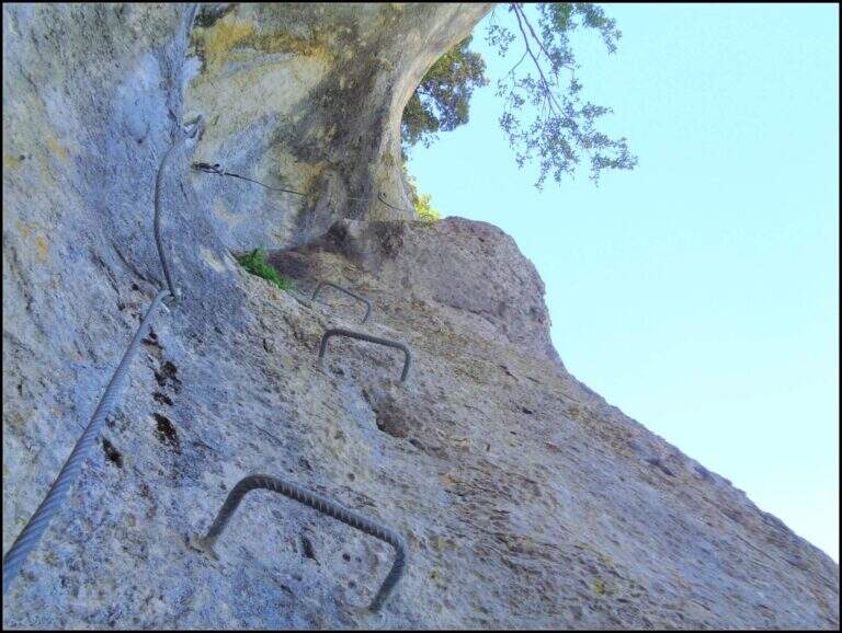
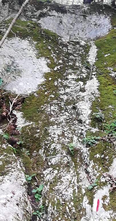
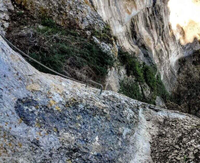
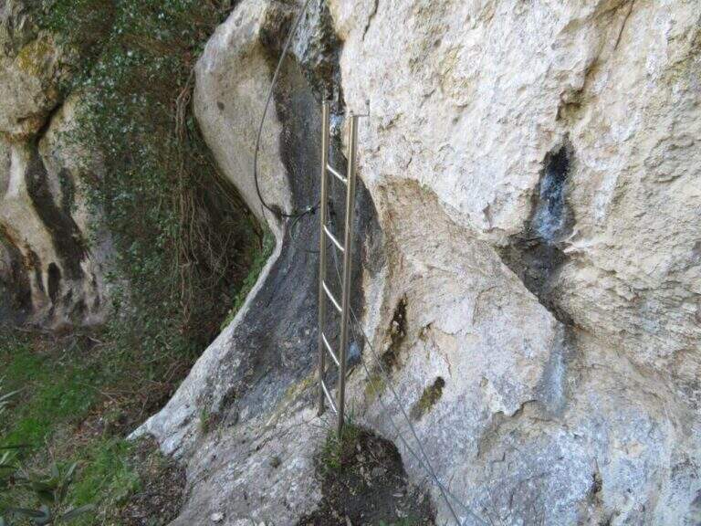
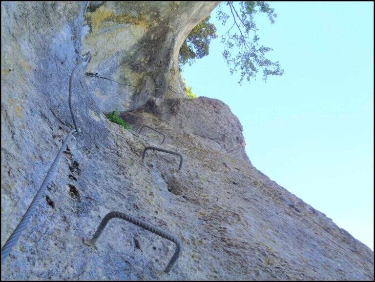
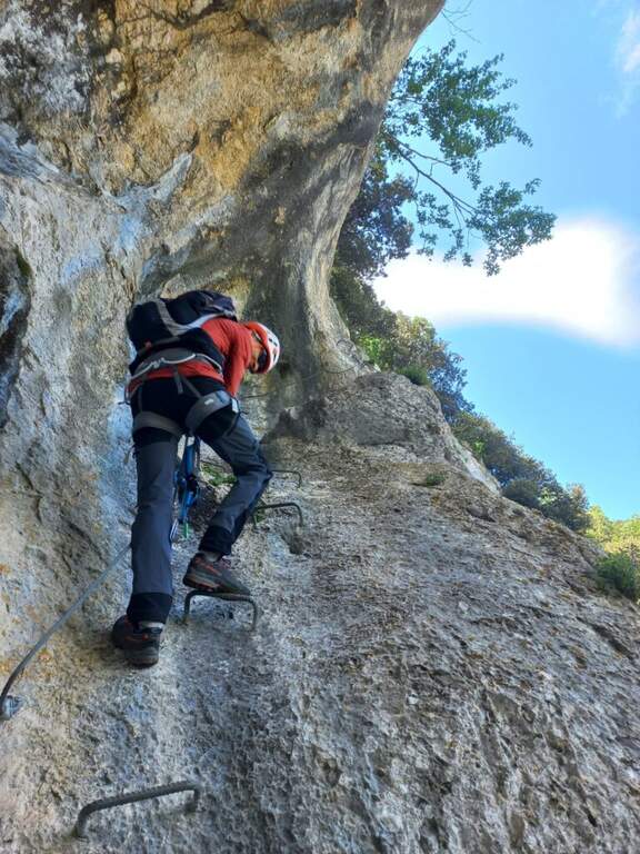
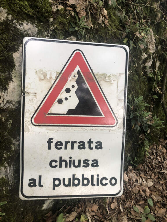
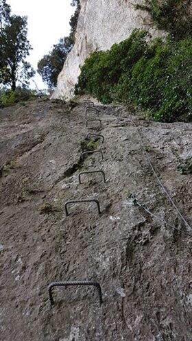
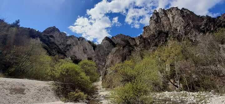
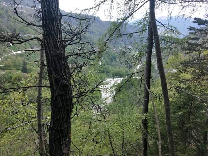
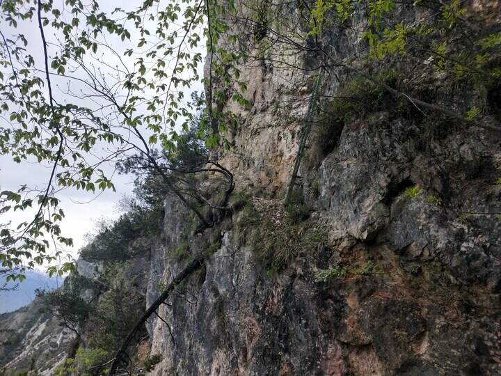
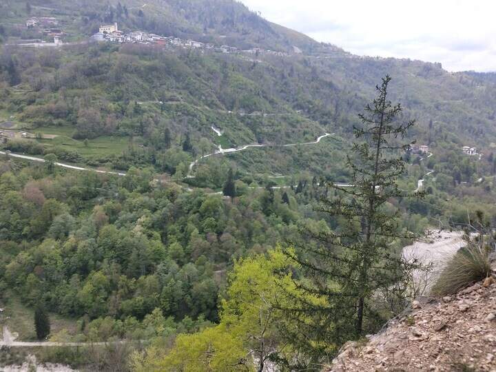
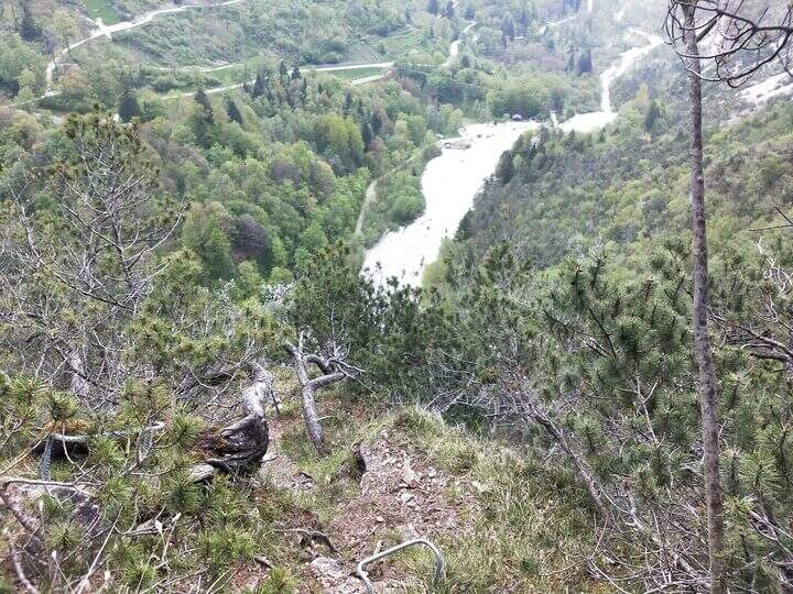
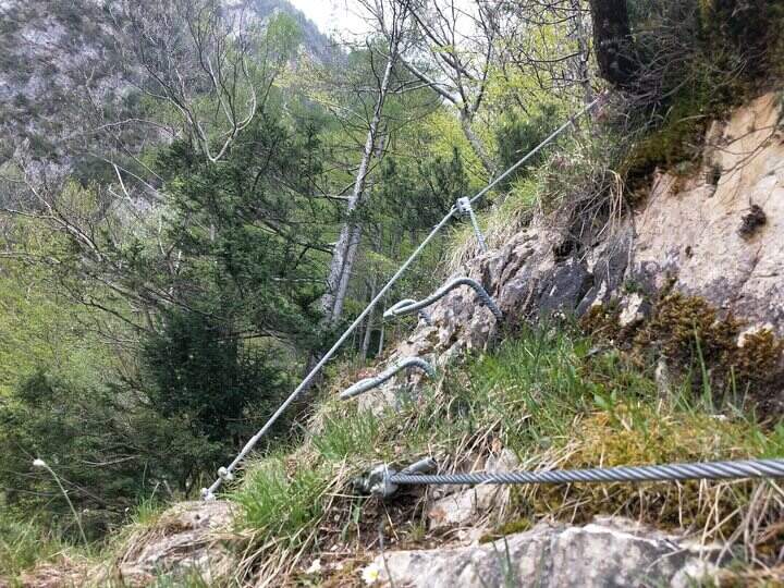
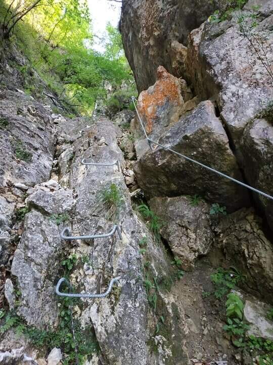
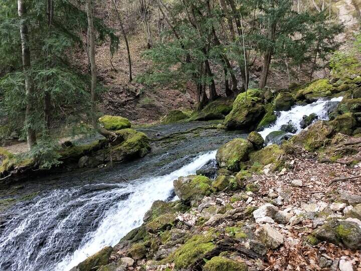
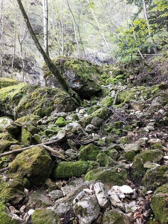
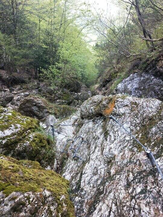
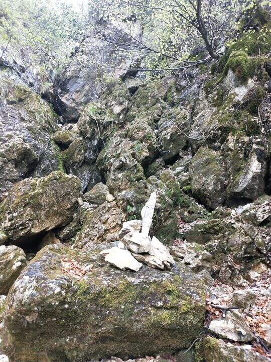
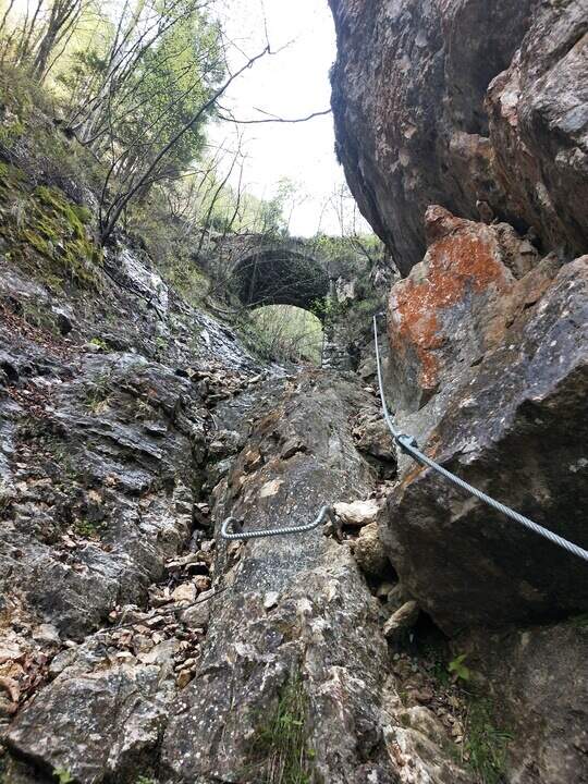
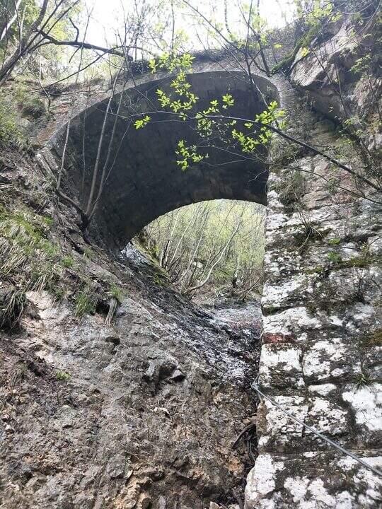
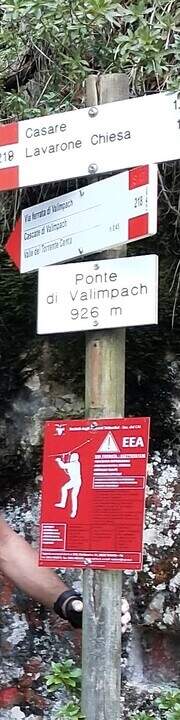
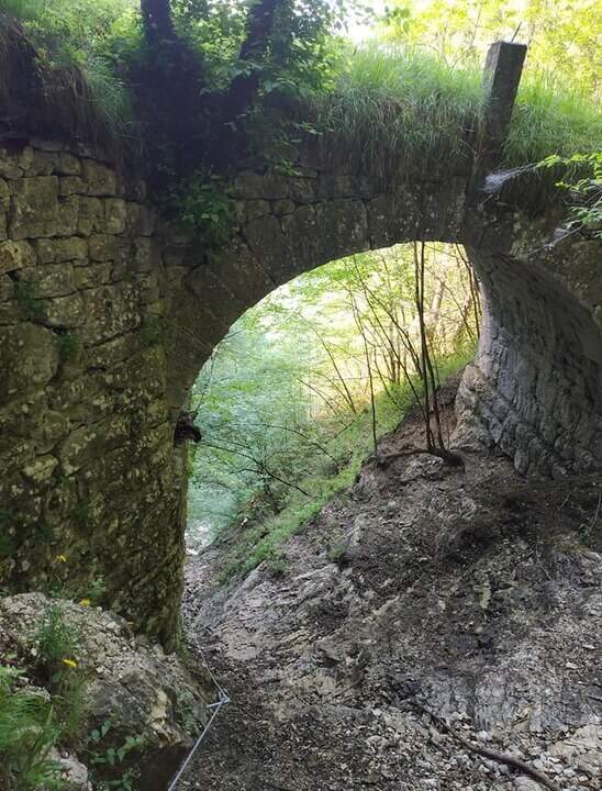
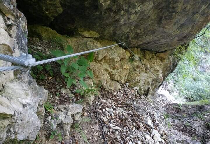
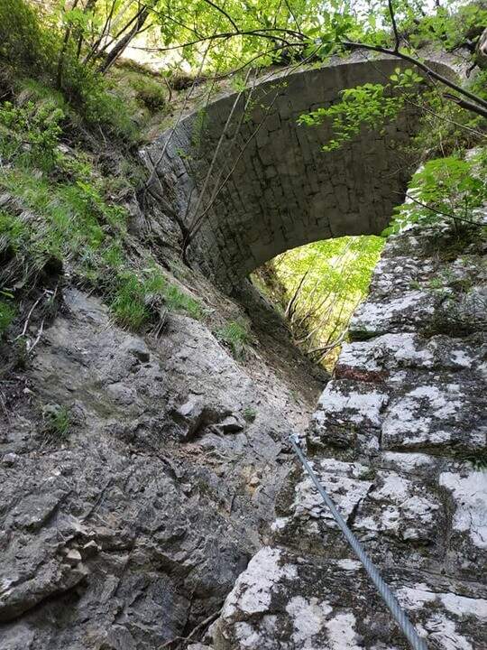
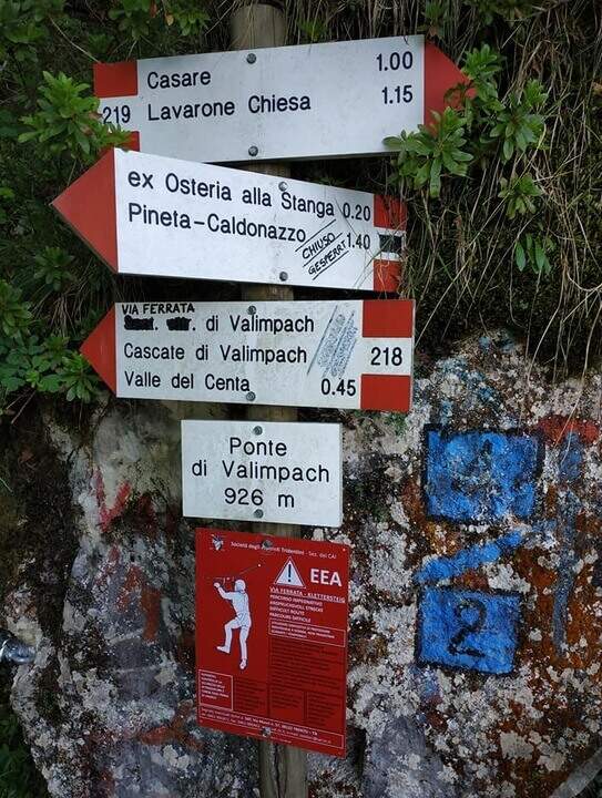
The first section è the più exposed: a scaletta followed by the cable under a census, from which is seen on the ' other side of the village of Centa San Nicolò. Continue on several rocky cliffs with metal cambres, surrounded by mug pines; as you climb you start to see the cascade of Valimpach and the valley below. After passing these easy leaps, a stretch in the forest without difficulty and agrave;, in a slight descent, runs along the waterfalls to their springs. Continue in the valley following the track on the boulders and enters the gola rocky, where from time to time cables and cambre facilitate progression: è a humid environment, with thick slippery rocks and mosss, where pay attention also all' possible fall of stones from the side walls. Following the tracks you will arrive below the ponte of Valimpach (926 m); cross it from below turn right and in a few meters you will reach the ex «Strada della Val Caréta» (former 219), where the ferrata ends (about 1h 15' from' start of the equipment, 1h 45' from the parking lot).
Itinerary varied but of limited commitment, with a first exposed section and passages on equipped balconies. The quality of the rock is not always excellent and the humidity of the nearby waterfall requires caution.
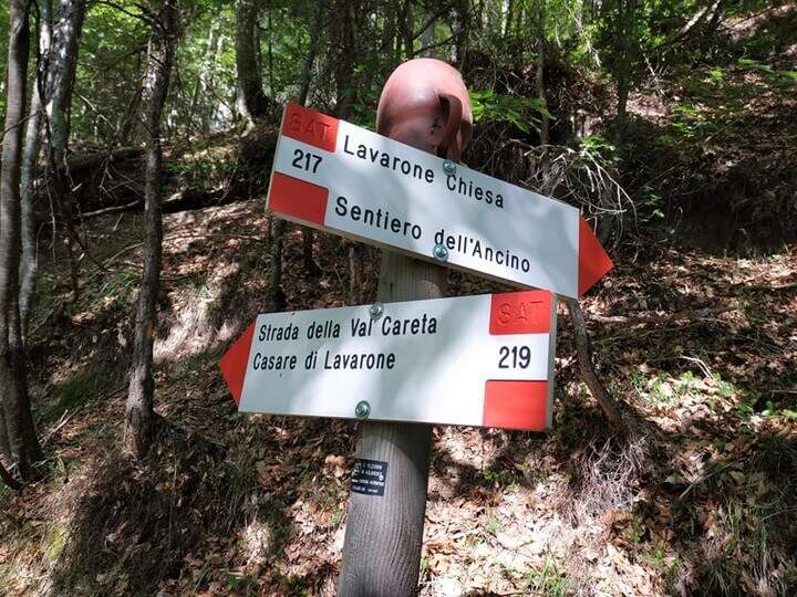
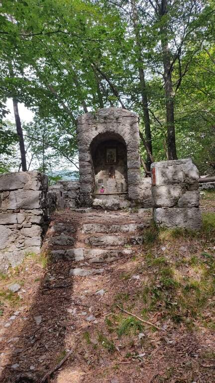
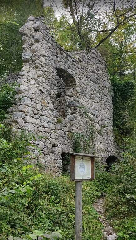
From the bridge we continue on the ' ancient road towards the Church of Lavarone; after about 15 minutes, at the junction with the Sentiero del Lanzino ( itinerary 217), we descend into the Valley of the Centa. You pass the votive capital of Sant' Antonio and you get to some ruins surrounded by a screech; carefully you get the stream and you reach the valley bottom path that, along the Centa on the left, brings back to the starting parking lot (about 3h total).
The nearest equipped route is the Sentiero Attrezzato Church in Val Scura. Towards the Val d'Astico is the Ferrata degli Aguane; in Val d'Adige the Sentiero Attrezzato Bertotti e il Sentiero Attrezzato de le Stel. Not far from Trento, the commitment Ferrata Segata bondone.
- DifficultyModerately Hard
- RegionTrentino-Alto Adige
- ProvinceTrento
- GroupValsugana
- Approach25 min
- Ferrata1h 15'
- Complete itinerary (a/r)3h
- Hardware level difference350 m
- Route difference415 m
- Maximum1003 m
- Length5 km