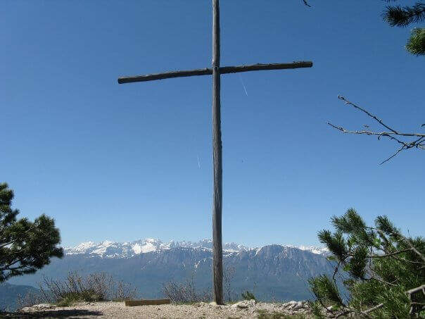
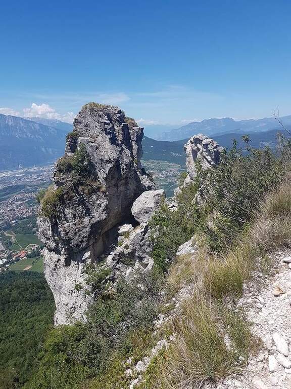
Il Sentiero Attrezzato Bertotti is a pleasant itinerary of low difficulty that climbs to the Chegul Cross, on the mountains to the east of Trento. It has no technical difficulties and is also suitable for neophytes or those with little experience of ferrate; from the top the panorama is 360 degrees.
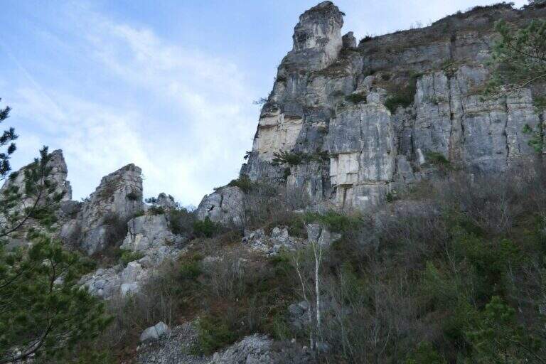
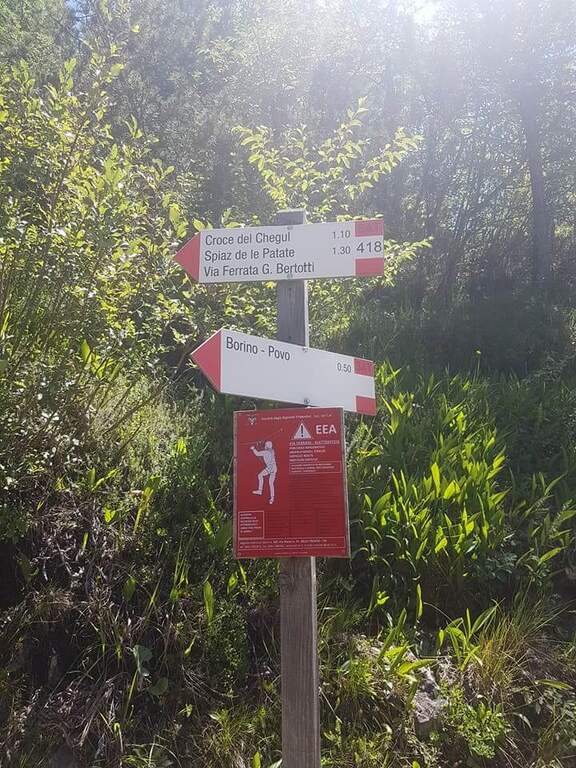
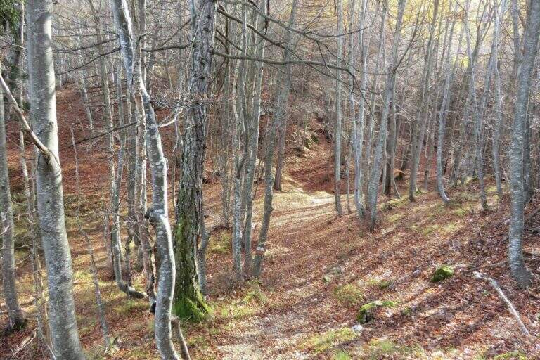
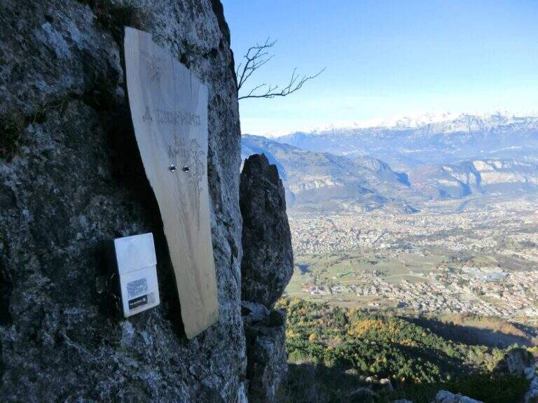
From the Passo del Cimirlo (733 m), reached by Trento, take the road to the right with indications for Maranza; after about 1.5 km, narrow but asphalted, you can see on the left the signs CAI 418 of the Route Attrezzato Bertotti. You park on the road. Open road signs on Google Maps. From the sign (850 m) you climb steeply into the wood between bends, rocky and massive steps under the walls of the Chegul, then right on a slope up to a census under the crest; with short stretches equipped you reach the libro of the signatures, where a plate marks l' start of the path equipped (1115 m, 30' from the parking lot).
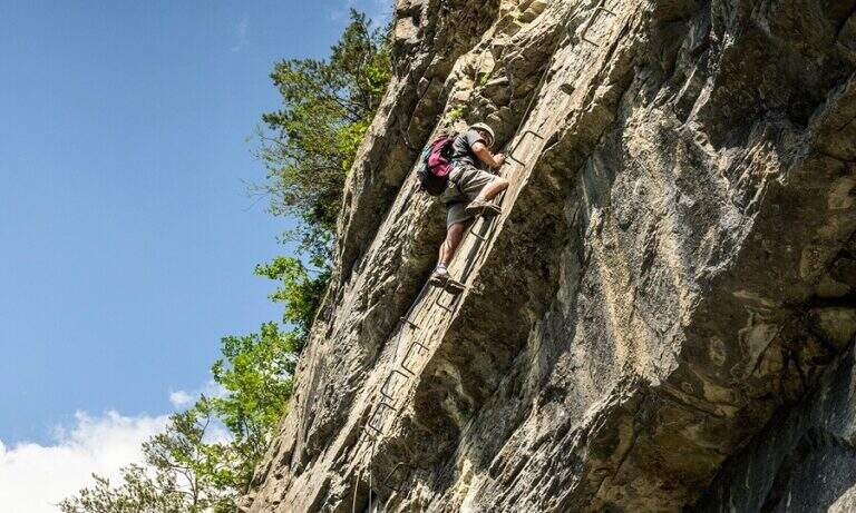
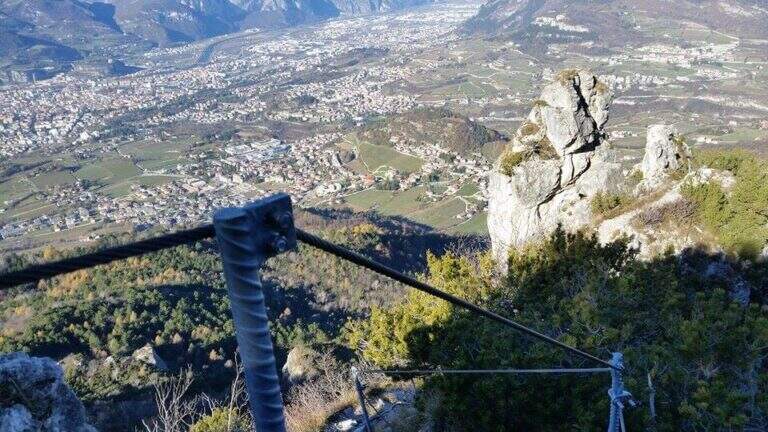
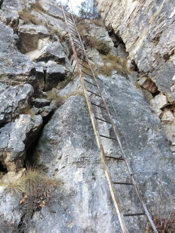
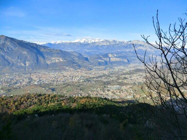
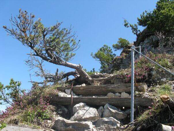
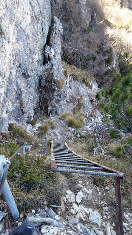
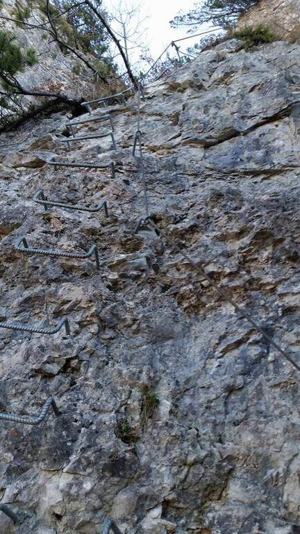
You go up a canyon in the woods to its più point; high, where you pass between two rocks; then you face a vertical parete equipped with wide cambre. The trail continues easy and free of equipment for a few minutes, up to some small rocks and a long 20-metre-long wire scale, a series of equipped steps leads smoothly to the Croce del Chegul (1263 m), with excellent views of Trento and Bondone (30' from the signature book, 1h overall).
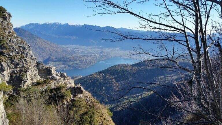
Itinerary is not difficult: the two vertical sections are facilitated by a staircase and a series of brackets; the difference in altitude is exceeded with stretches equipped in the most exposed points, but the difficulty remains modest. Very beautiful instead the view from the top.
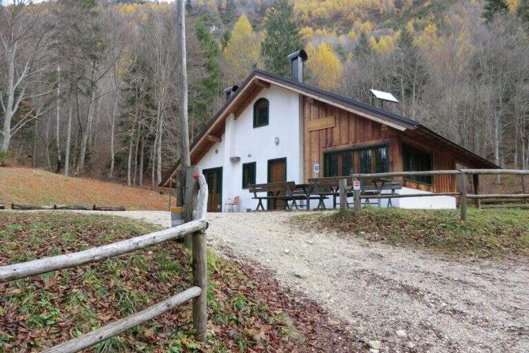
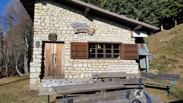
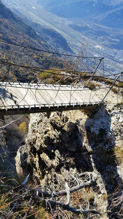
On the same route (45' 1h 45' overall) or take a più along anello: a bridge goes up to the Spiaz delle Patate (1310 m), then south to the CAI 411 towards Monte Lalonila, passing old war stations; at a crossroad (1541 m) From the bivouac, in steep descent with the CAI 412 to the west, you reach the Rifugio Maranza (1072 m) and finally, on the CAI 426 and 413, l' car (about 5h total).
Walking through the short variant remain time and energy for another way: in Val d'Adige la Ferrata Rio Secco e la Ferrata di Favogna, o il Burrone Giovannelli; towards Garda la Ferrata Che Guevara e la Sentiero de le Stel.
- DifficultyEasy
- RegionTrentino-Alto Adige
- ProvinceTrento
- GroupValsugana
- Approach30 min
- Fully equipped30 min
- Ring itinerary5h
- Level difference150 m
- Route difference886 m
- Maximum1737 m
- Length14,7 km
