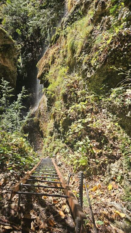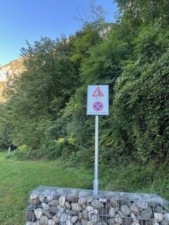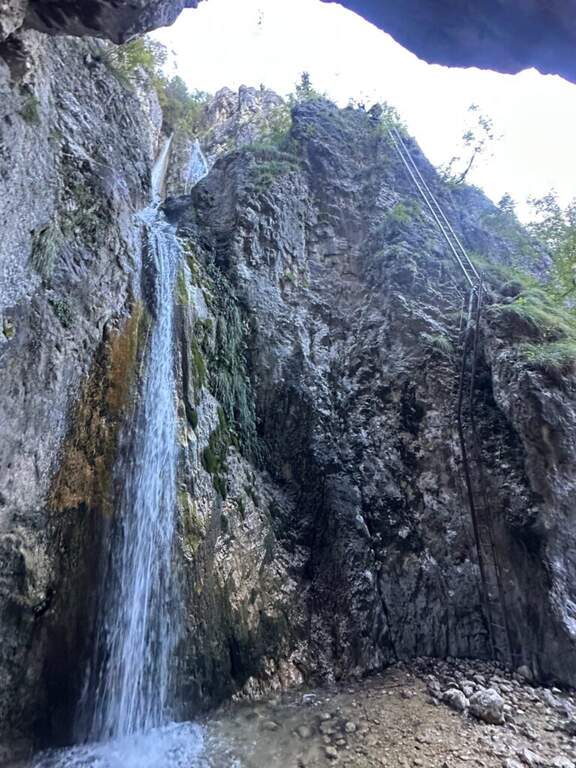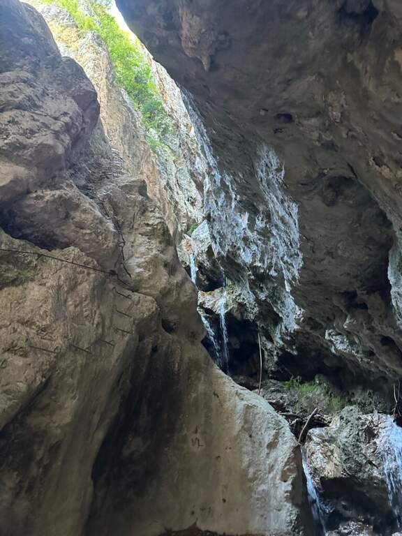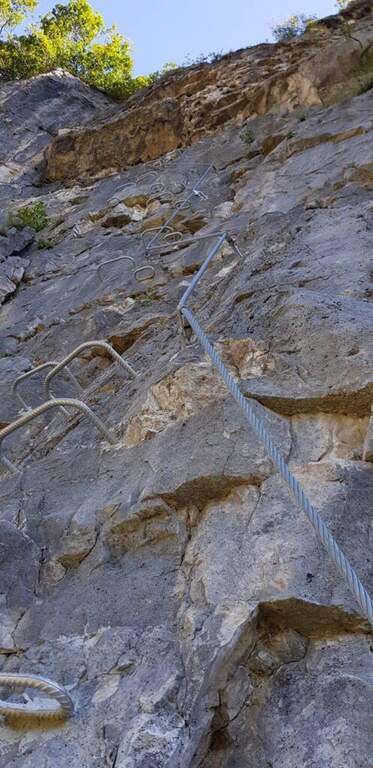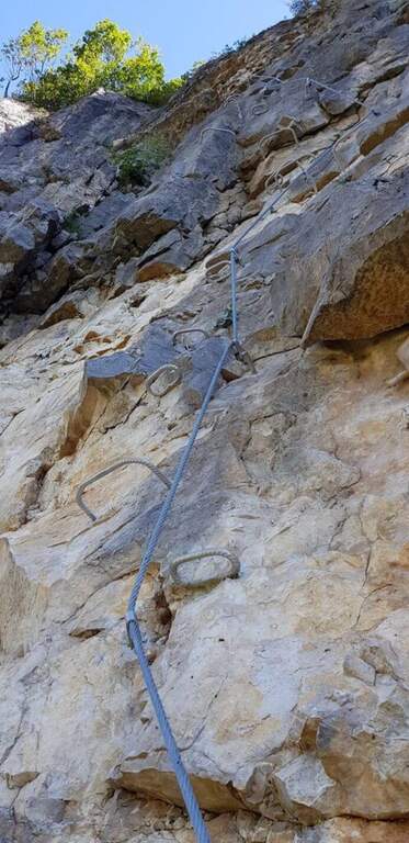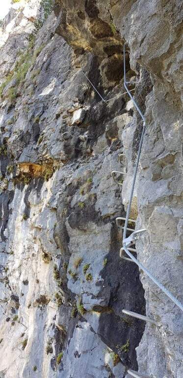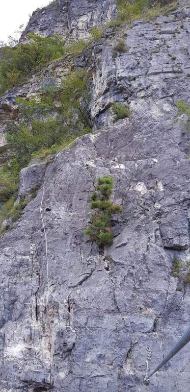
Caratteristica: Scale metalliche

  • Sentiero Attrezzato delle Cascate di Idro

    Sentiero Attrezzato delle Cascate di Idro

    Vie Ferrate › Lombardy › Brescia
    Sentiero Attrezzato delle Cascate di Idro

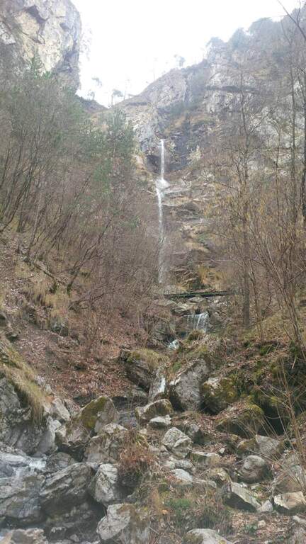
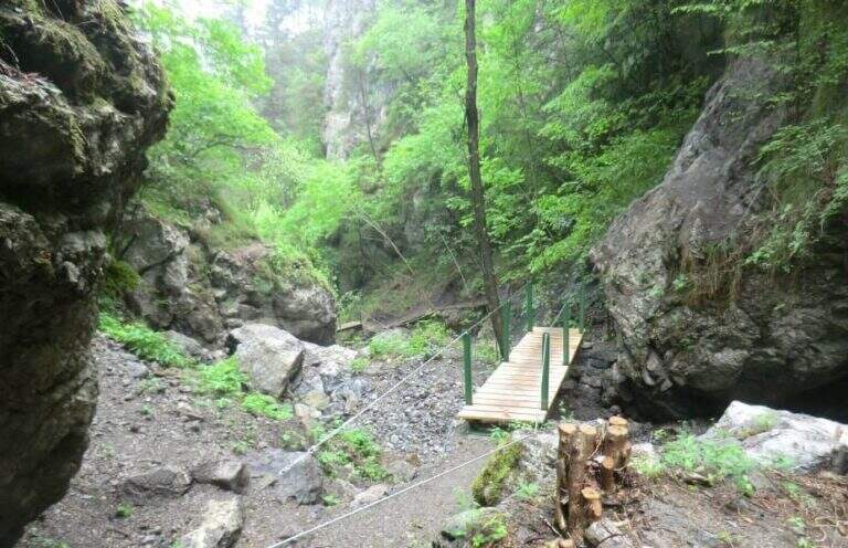
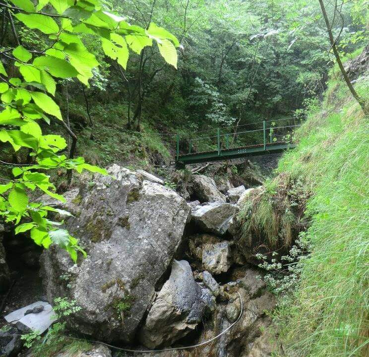
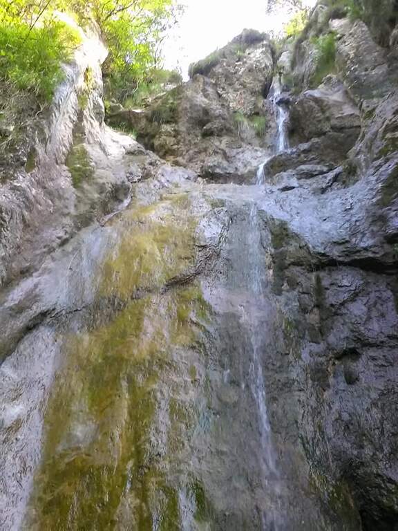
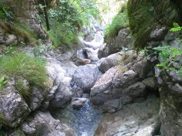
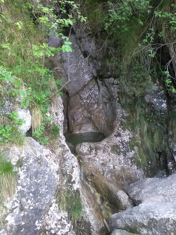
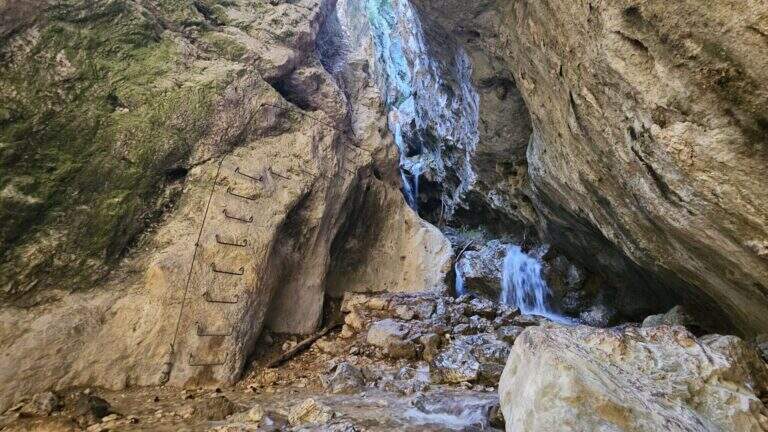
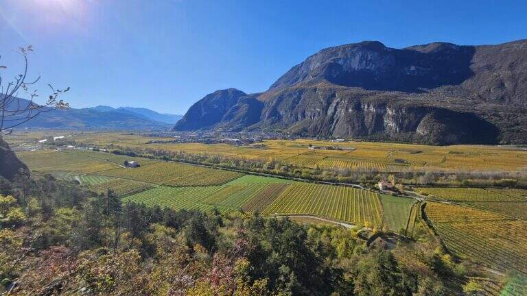
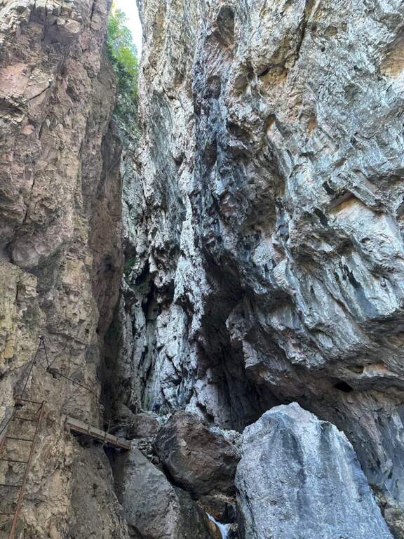
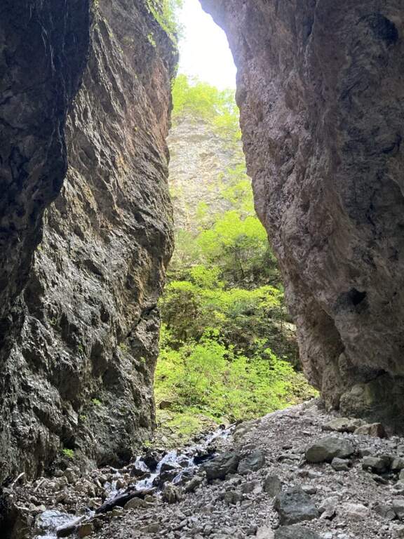
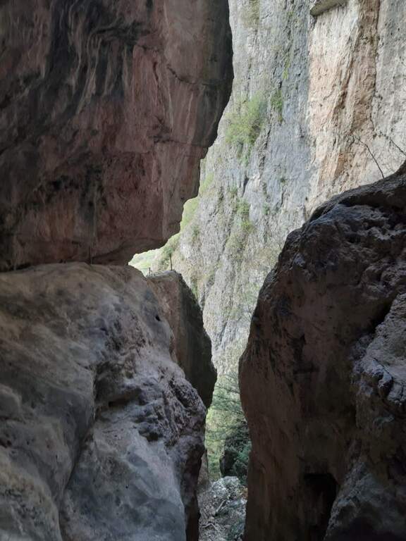
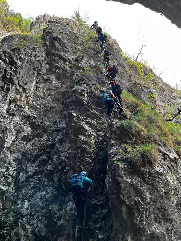
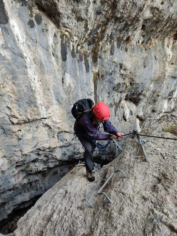
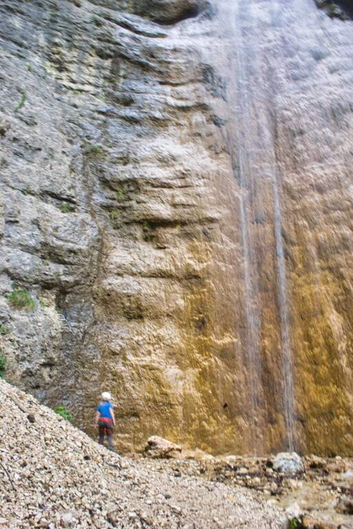
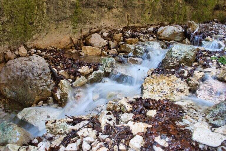
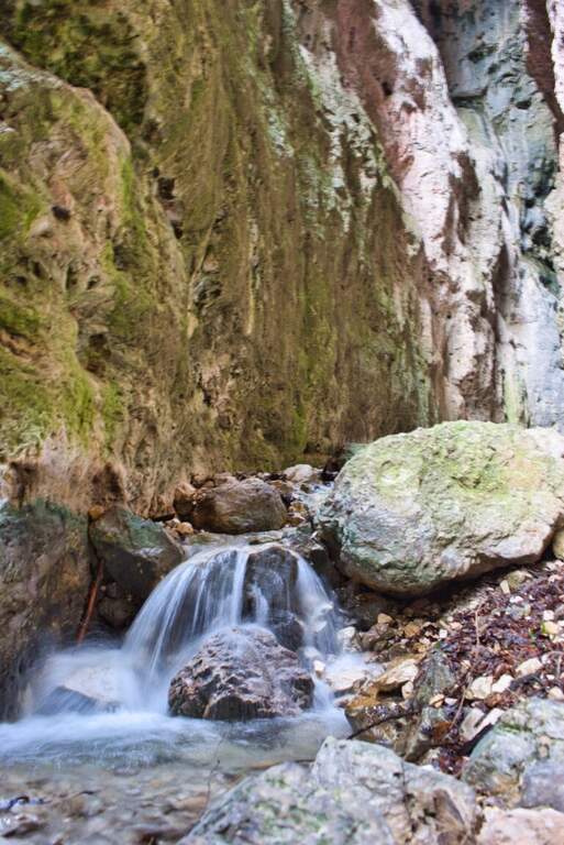
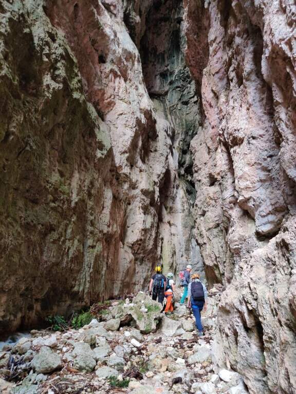
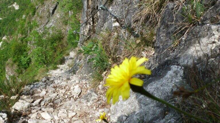
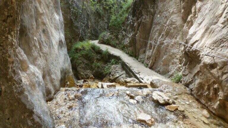
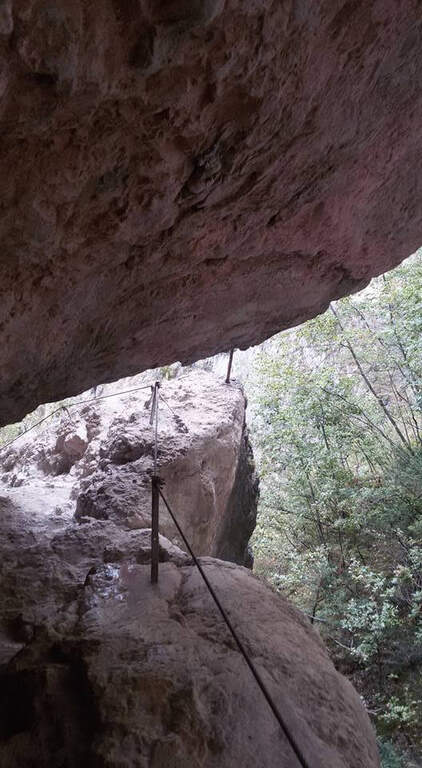
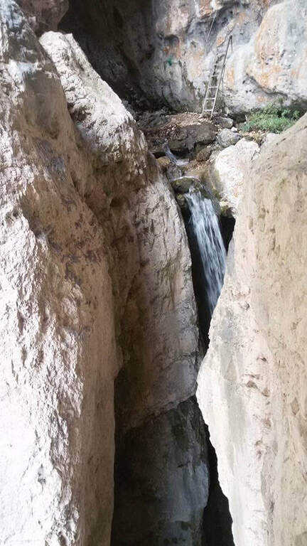
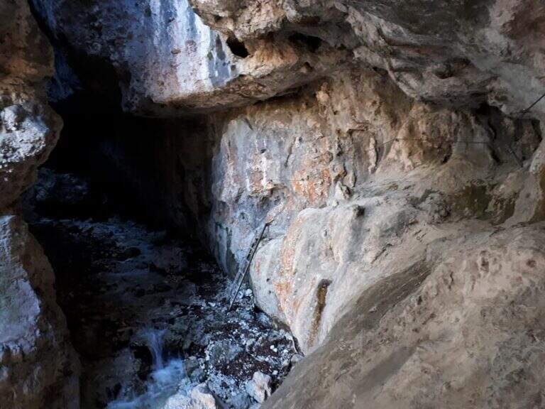
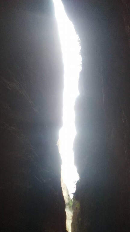
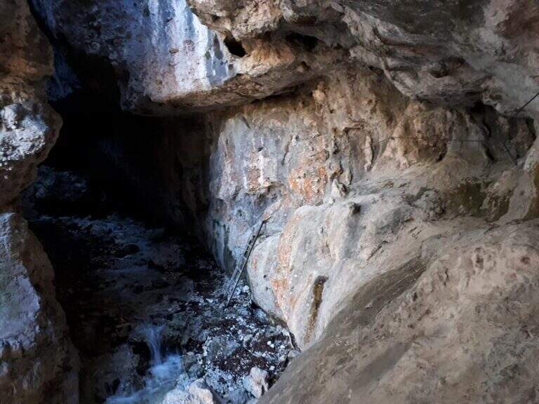
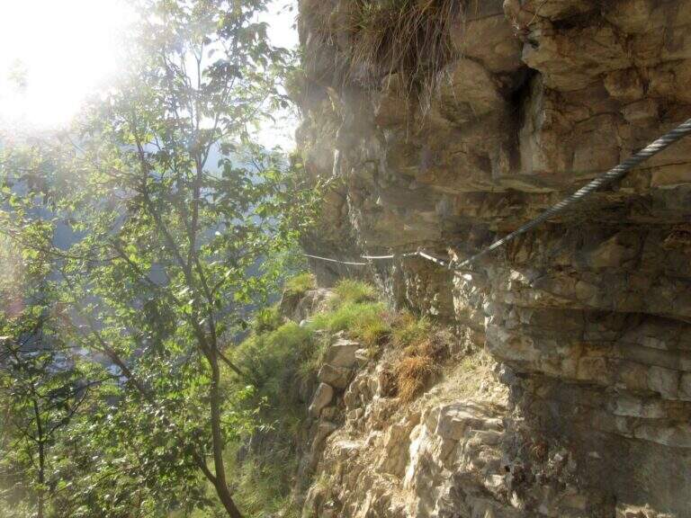
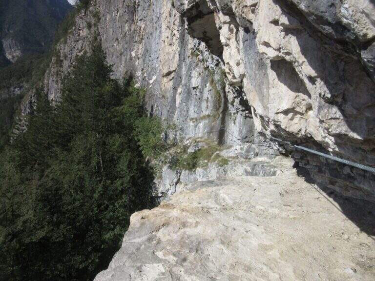
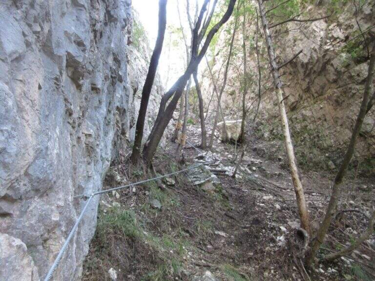
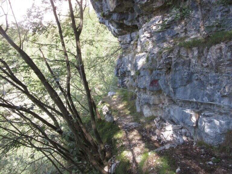
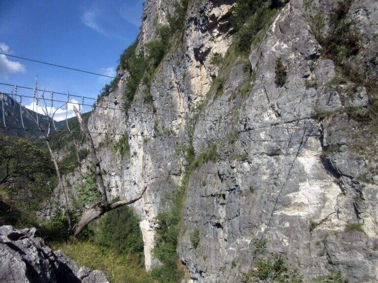
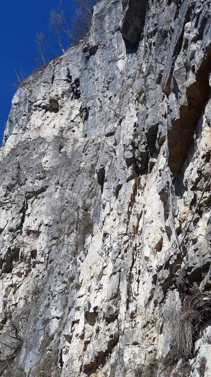
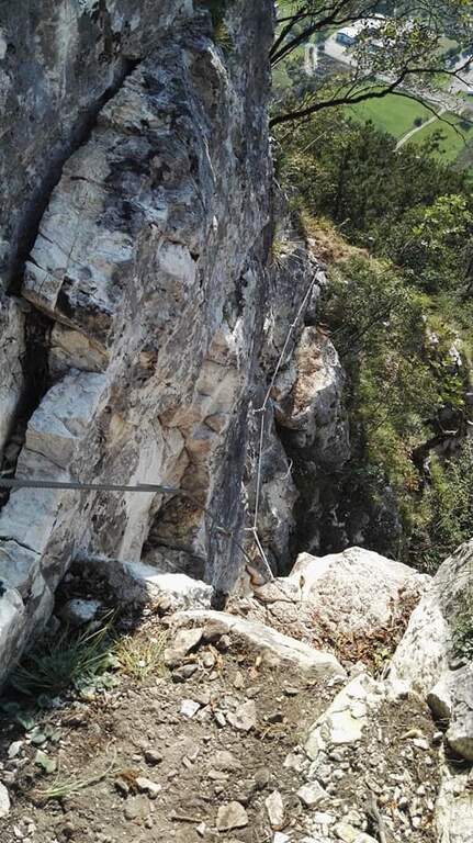
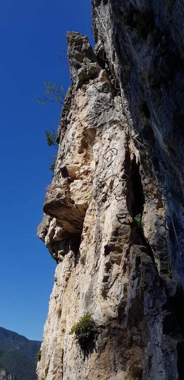
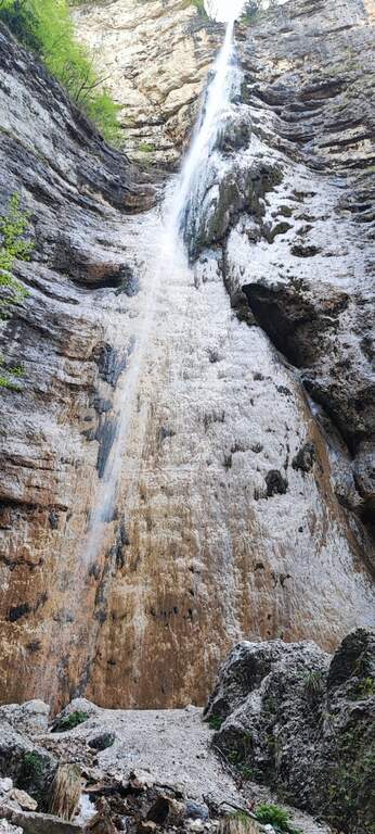
    Il Sentiero Attrezzato alle Cascate di Idro ` an easy itinerary, equipped in the exposed part inside the hole of the torrente Neco, on Lake d’Idro. Very beautiful from the landscape point of view, shows a suggestive throat with short approach, ideal for those with little experience.

    ▲Approach

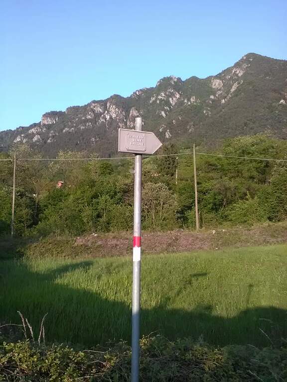
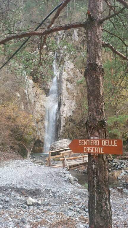
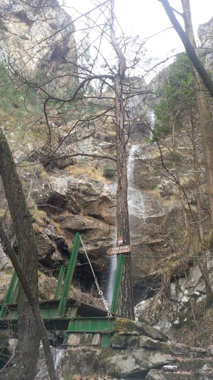
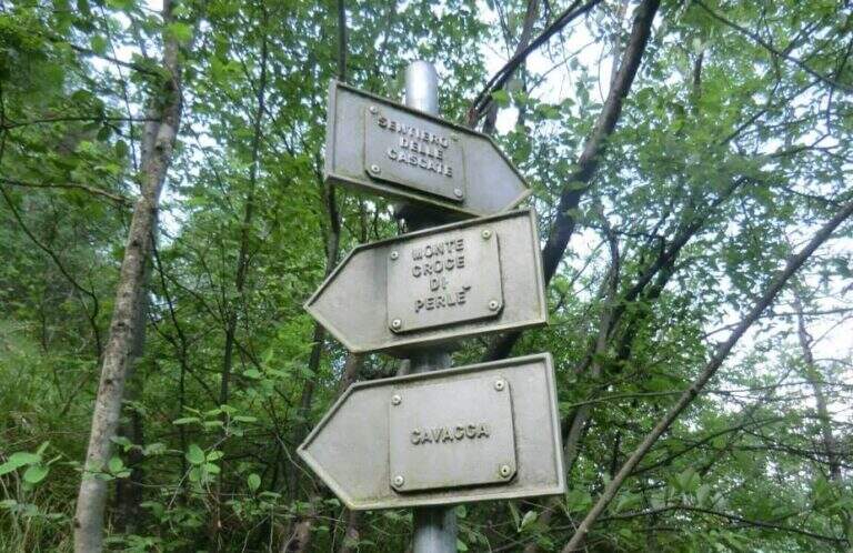
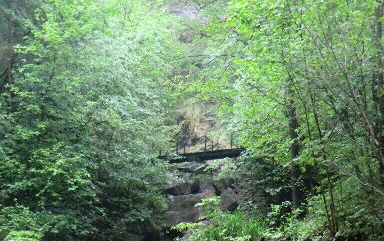
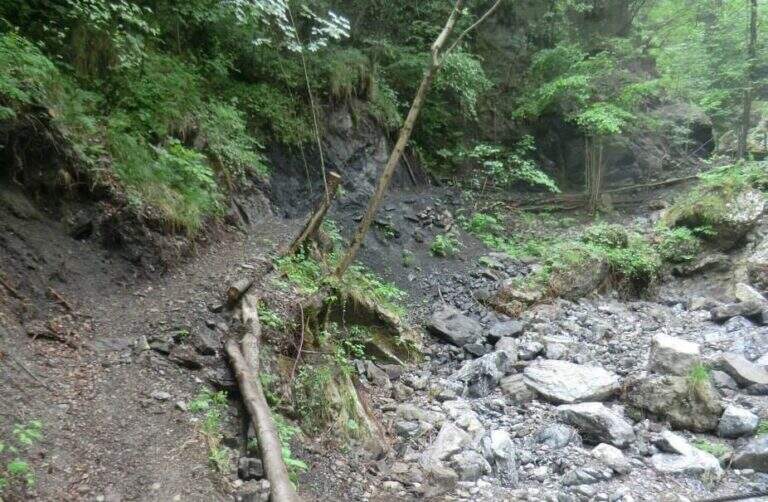
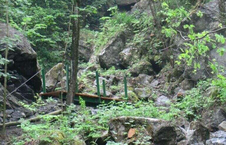
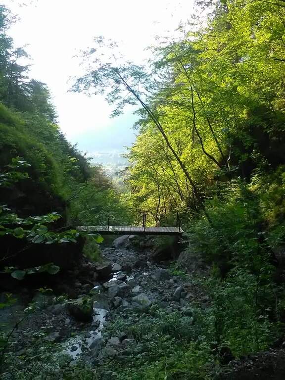
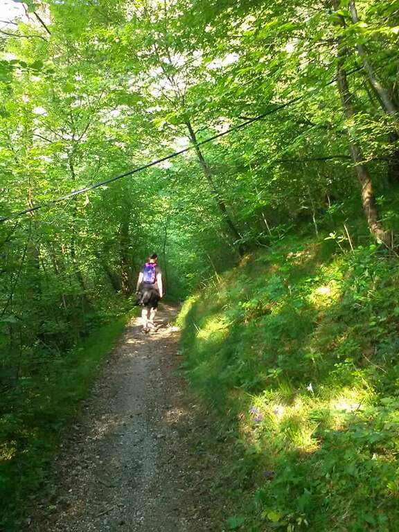
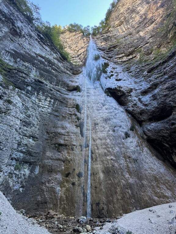
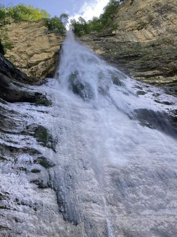
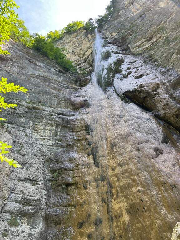
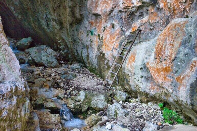
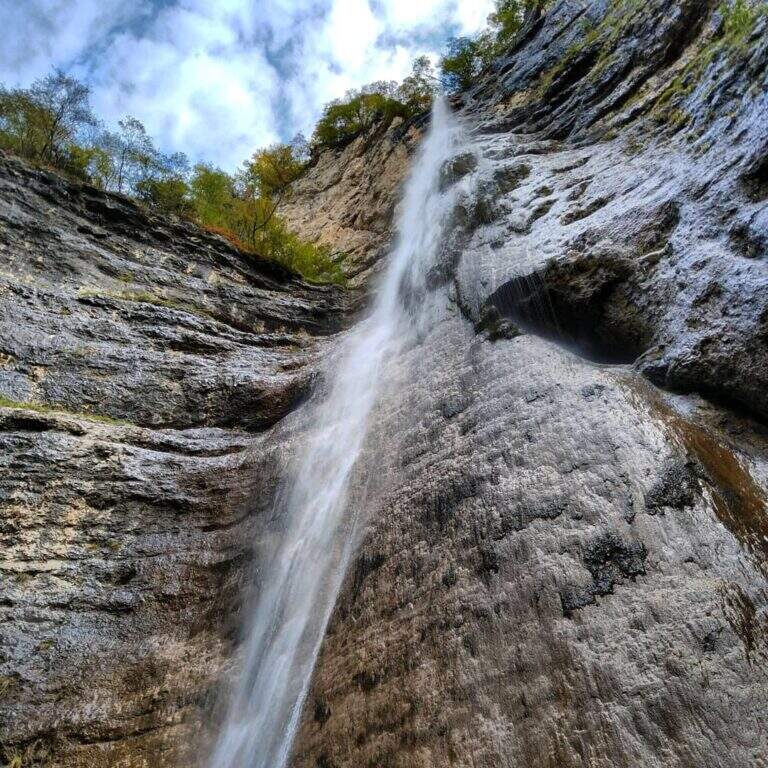
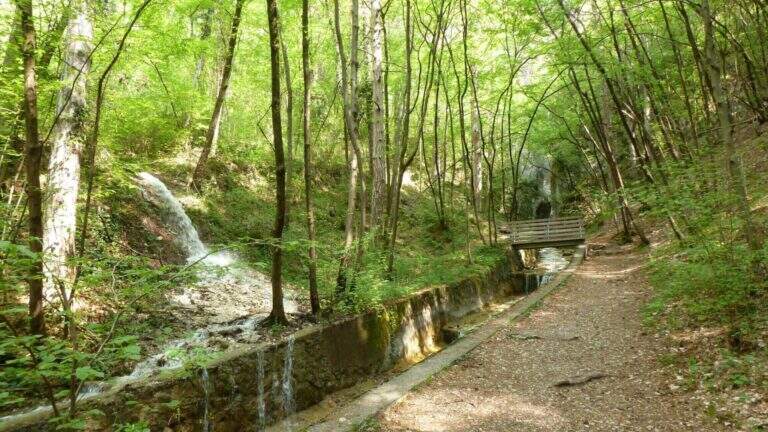
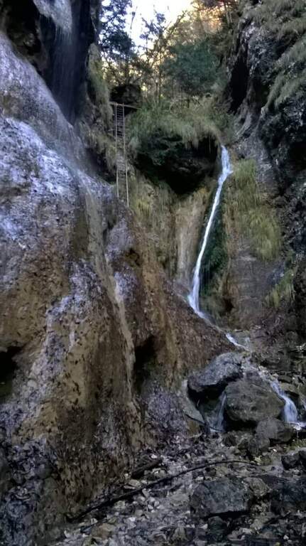
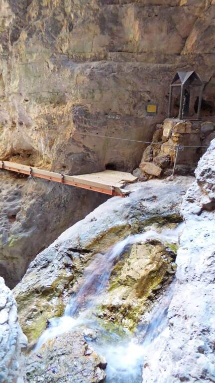
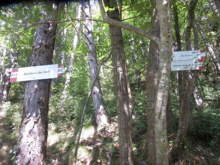
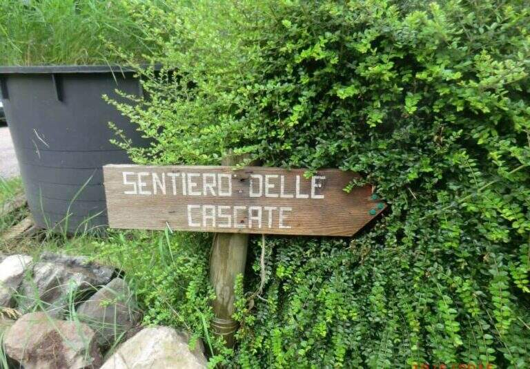
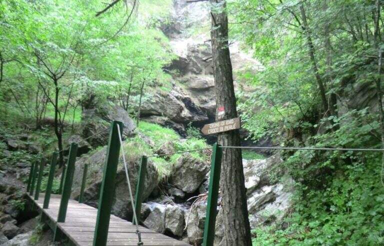
    Starting from Crone, on the eastern shore of Lake d’Idro: along the SP58 you can see on the right a road towards the Pizzeria Ristorante Bellavista, where you park (Via Coste), then take right the directions for the path. Open road signs on Google Maps. Follow the signs: straight the normal path, at destra il «Sentiero delle Cascate» (the two are reunited with più forward). You climb on the road between the meadows, then downhill to the bed of the Neco and its hole, at a wooden bridge and a first waterfall; you avoid the bridge and climb on the left side of the waterfall, entering the equipped path (15′ from the parking lot).

    ▲The path

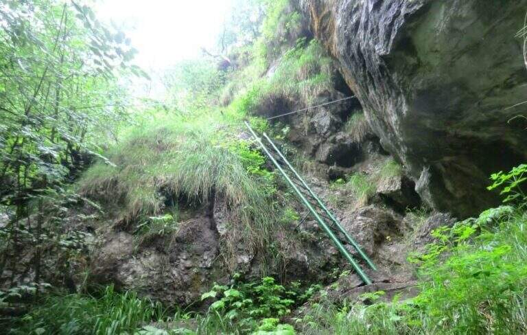
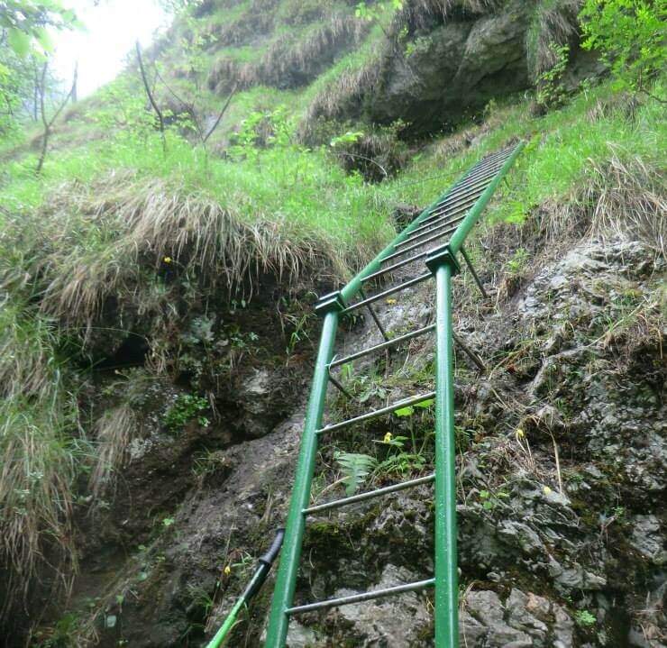
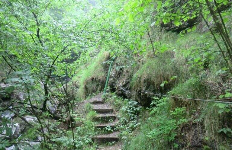
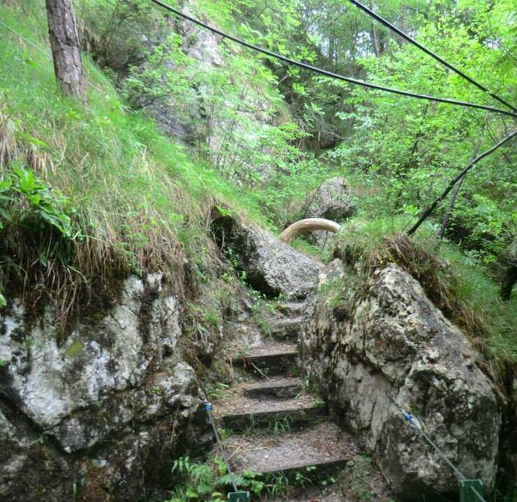
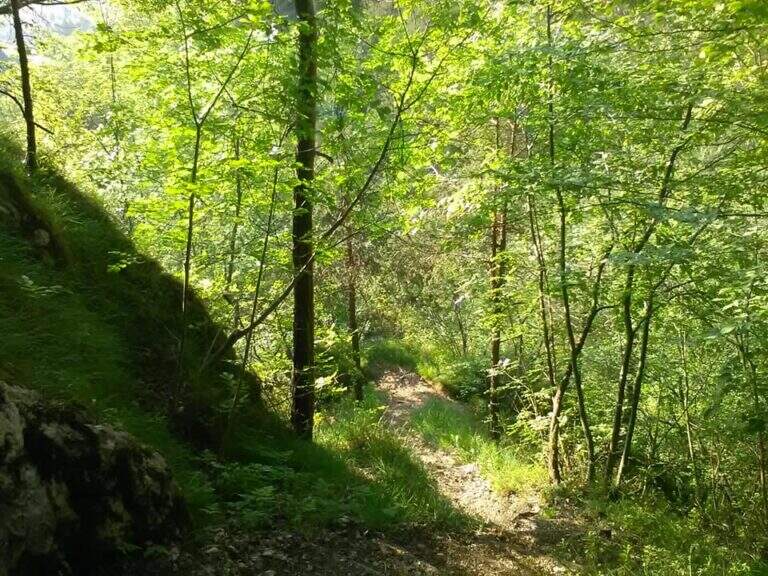
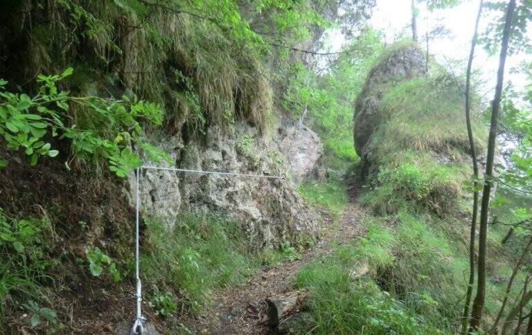
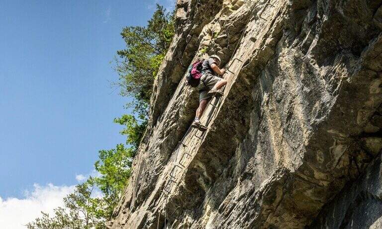
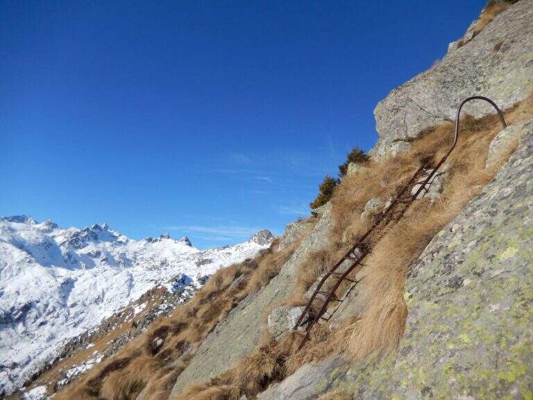
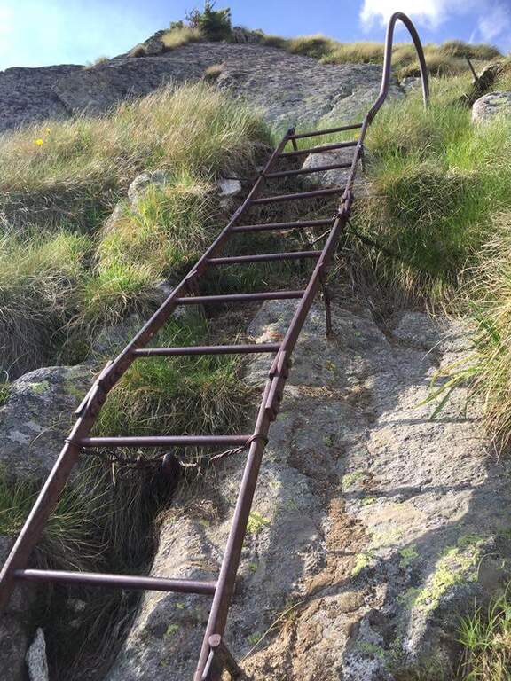
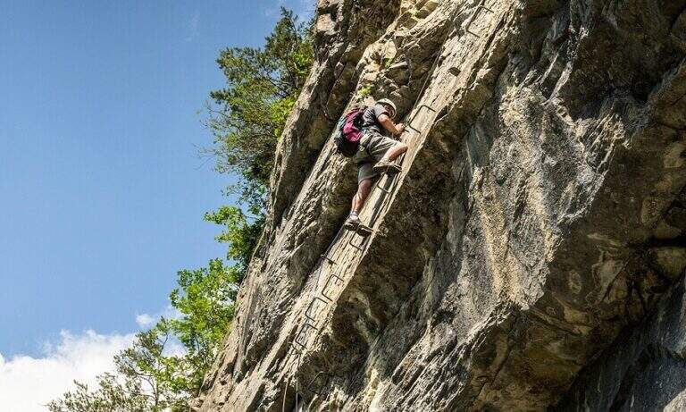
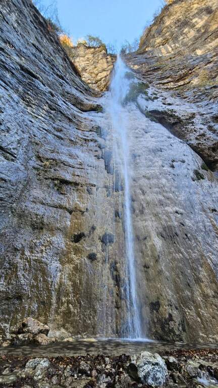
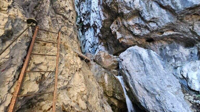
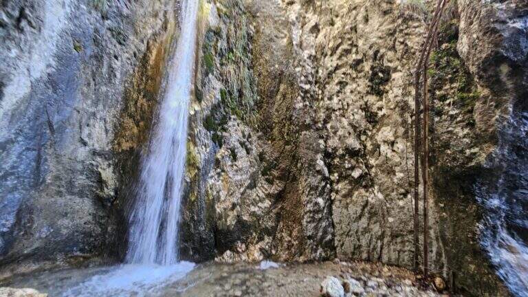
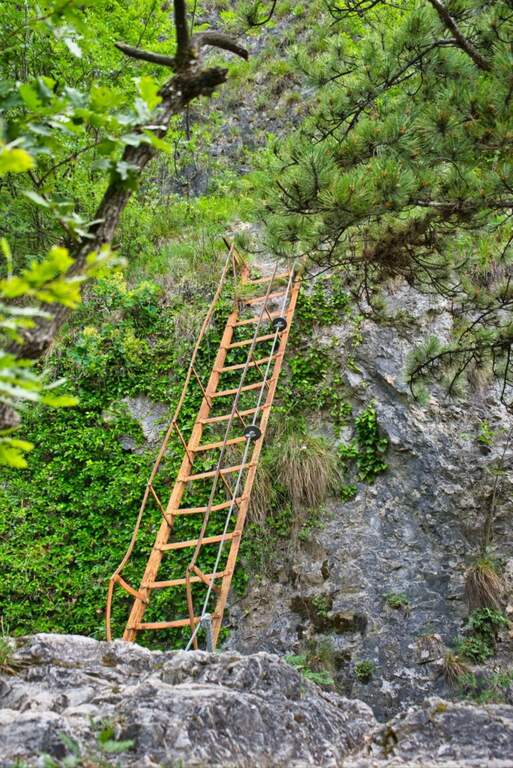
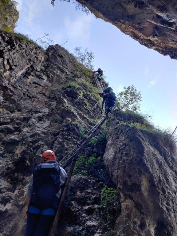
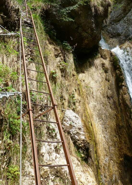
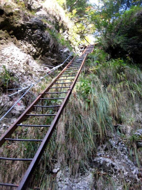
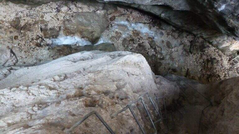
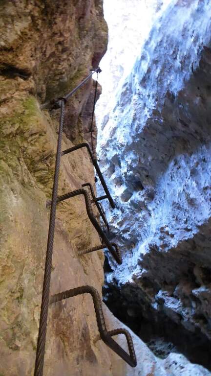
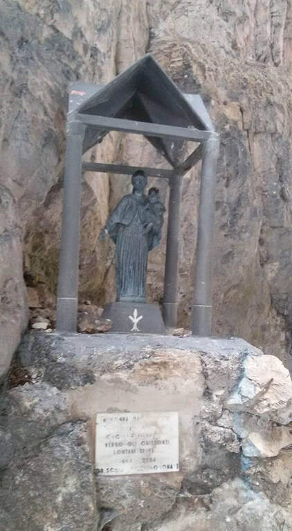
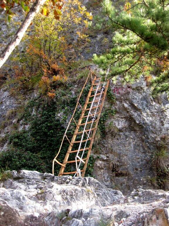
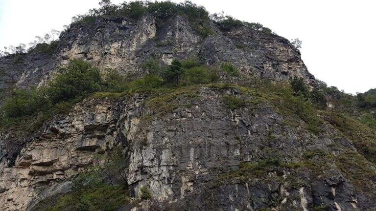
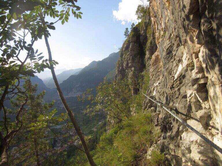
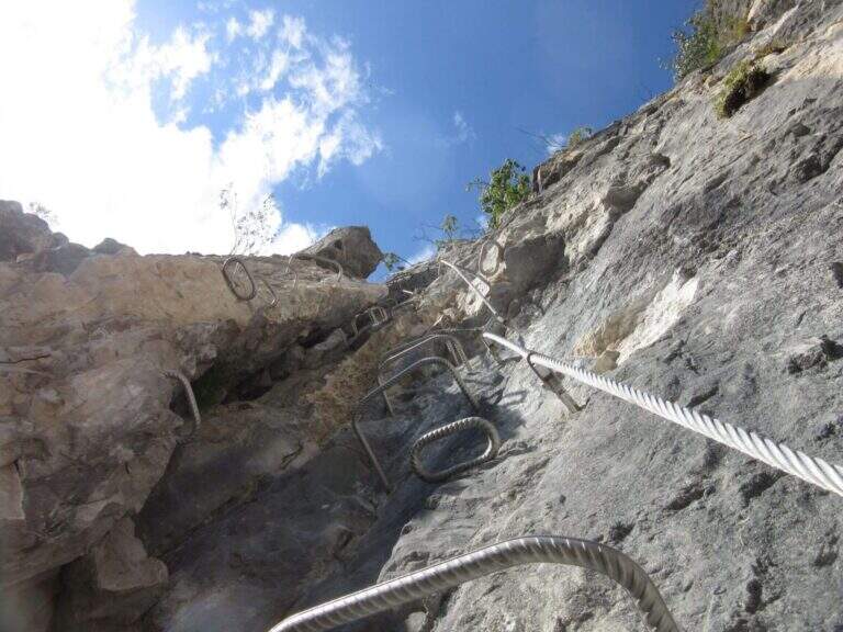
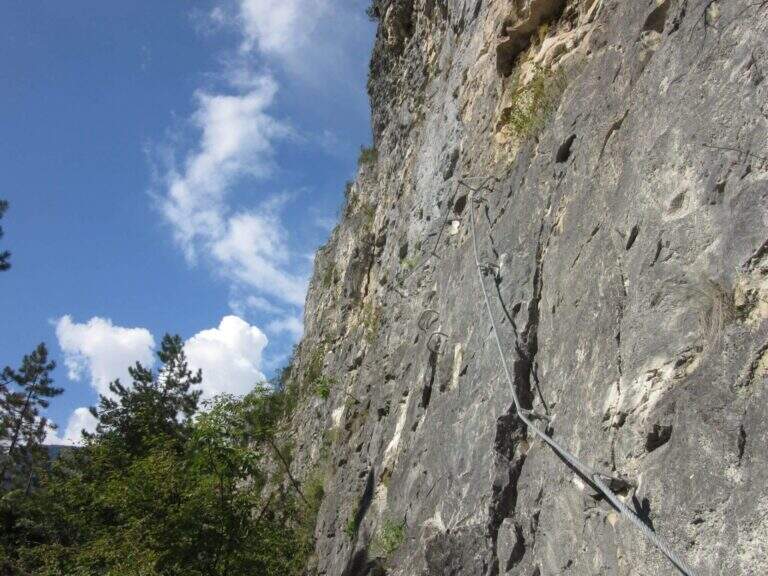
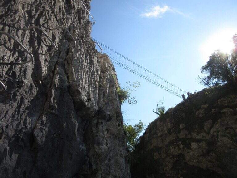
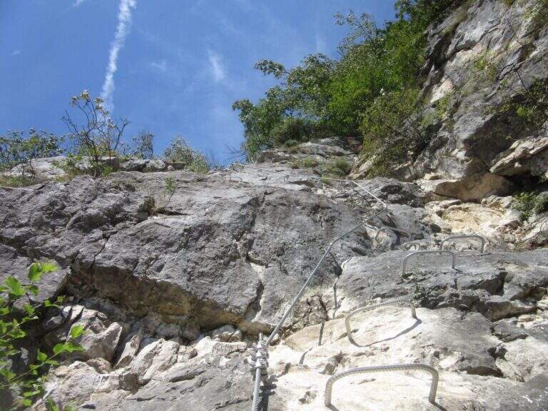
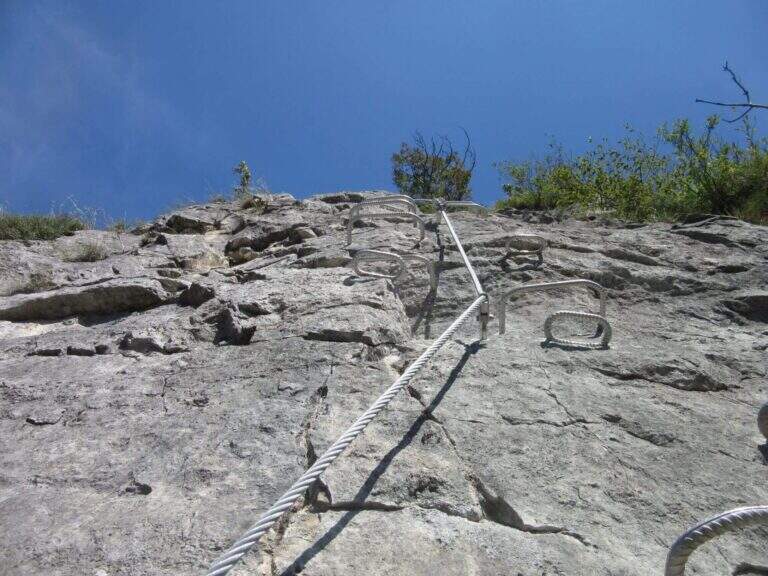
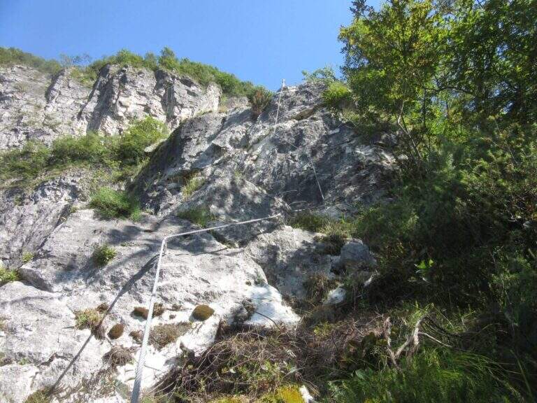
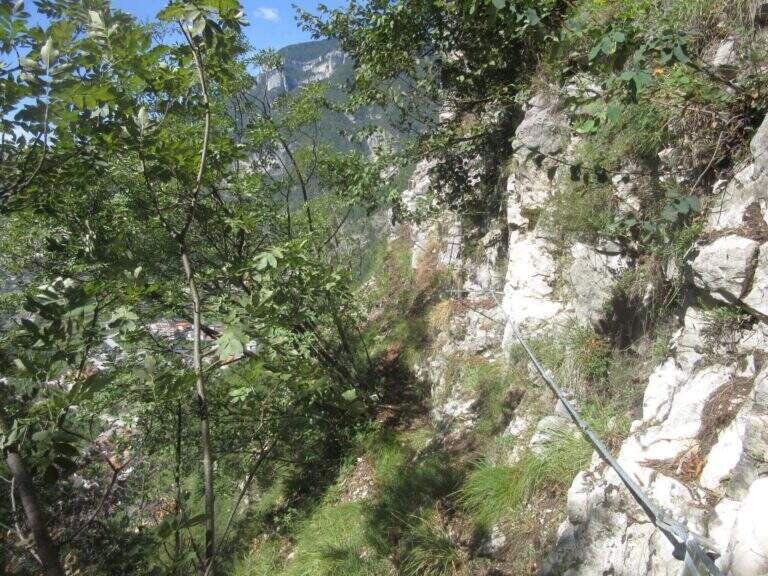
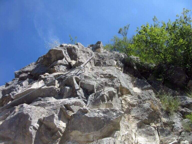
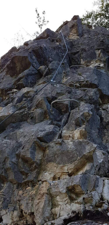
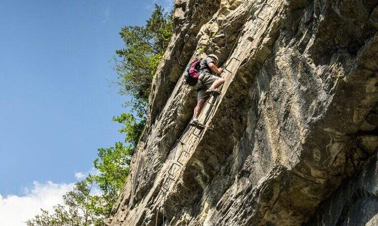
    There are two inclined rock walls equipped with two metal scales (the second più long of the first); on the top you go left on a engineered grassy and, bypassing a edge, ends the equipped part (10′ from’ attack, 25′ from parking). Continue on the path passing a bridge at a ’ another beautiful waterfall and then in the forest, until a crossroads with the normal path left at ’ start. From here you can rejoin; close the short hike turning left towards Crone (40′ overall) or keep the right towards the Croce of Perlè : with lake view, then in the Serè valley; and in a thick forest, at a crossroads turn left and follow a short stretch of ridge with easy rocks up to the peak cross (1h 30′ overall).

    ▲Character and difficulty

    Itinerary without any technical difficulties of importance, it is also advisable for those who have little or no experience provided in form and with firm foot; equipment in good condition. Traced ex novo in 1995-96 and restored in 2004.

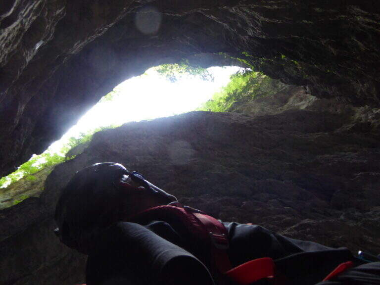
    ⚠ It is better to travel in the half seasons, avoiding the summer heat and l’ winter, when the falls can iced. Recommended helmet for stairs in the hole.

    ▲Discipline

    It can be traced back, possibly along the equipped path (about 1h from the summit, 2h 30′ overall). Alternatively, from the ’ last intersection can be combined; close a long anello for the Cocca di Idro, Cima Crench and Punta Pelada, returning to Crone (about 4h 30′ overall).

    ▲To match

    Concatenate well with the Ferrata Crench (saving Cima Crench and Cocca d'Idro) and, always on Lake Idro, with easy Ferrata delle Ginestre e la Ferrata del Fregio.
    ▲Gallery
    Technical data
    • DifficultyEasy
    • RegionLombardy
    • ProvinceBrescia
    • GroupLake Idro
    • Approach15 min
    • Fully equipped10 min
    • Complete itinerary2h 30′
    • Level difference200 m
    • Route difference220 m
    • Maximum620 m
    • Length3,5 km
  • Sentiero Attrezzato Bozzetti al Monte Zeledria

    Sentiero Attrezzato Bozzetti al Monte Zeledria

    Vie Ferrate › Trentino-Alto Adige › Trento
    Sentiero Attrezzato Bozzetti al Monte Zeledria

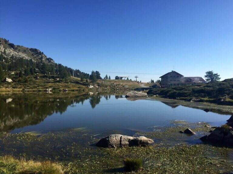
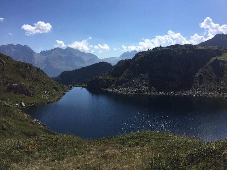
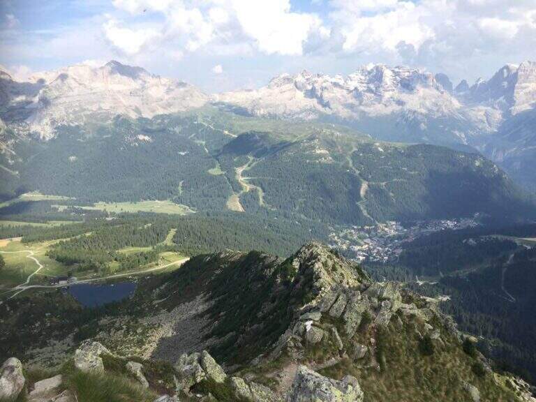
    Il Sentiero Attrezzato Bozzetti climb to Mount Zeledria above Madonna di Campiglio. It is an easy equipped itinerary, also suitable for beginners, in an area of great landscape: the view of the Brenta Dolomites and the lakes below pays off the ascent. It lends itself to a nice ring between the lakes in the area.

    ▲Approach

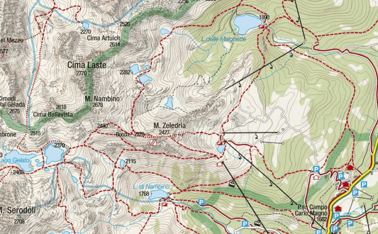
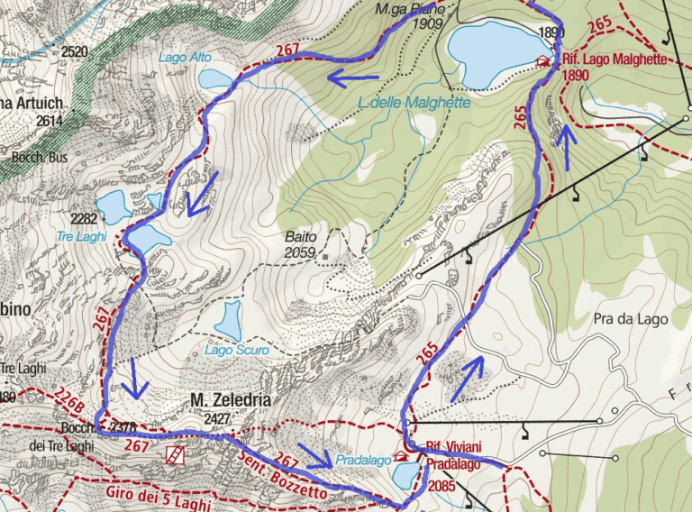
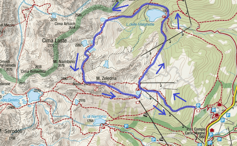
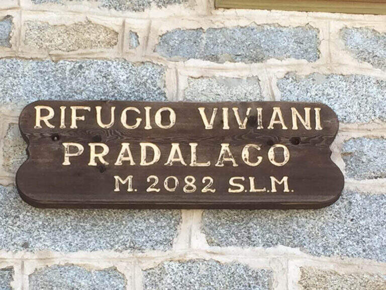
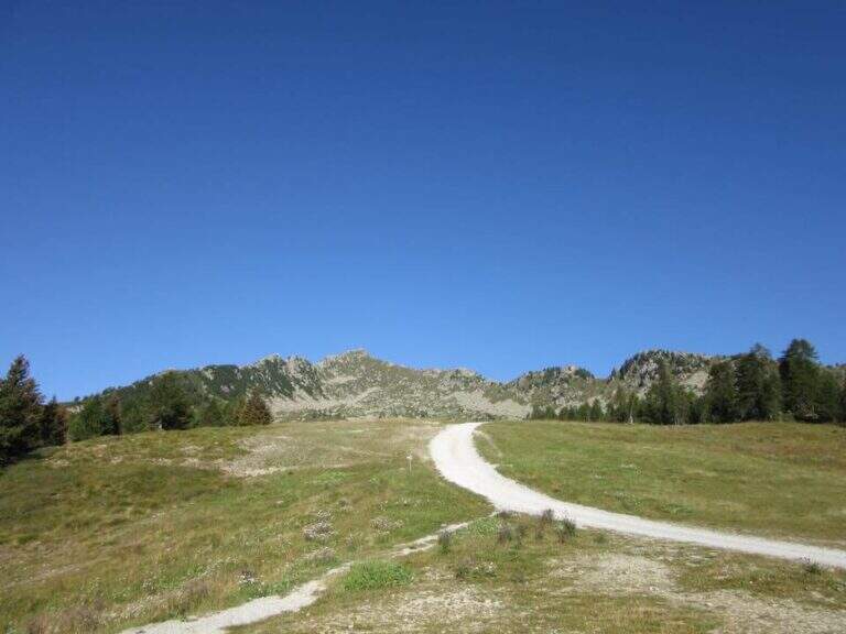
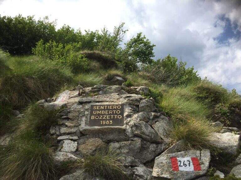
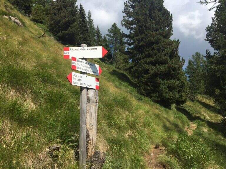
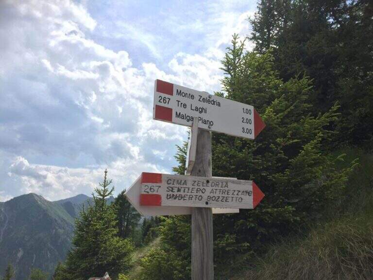
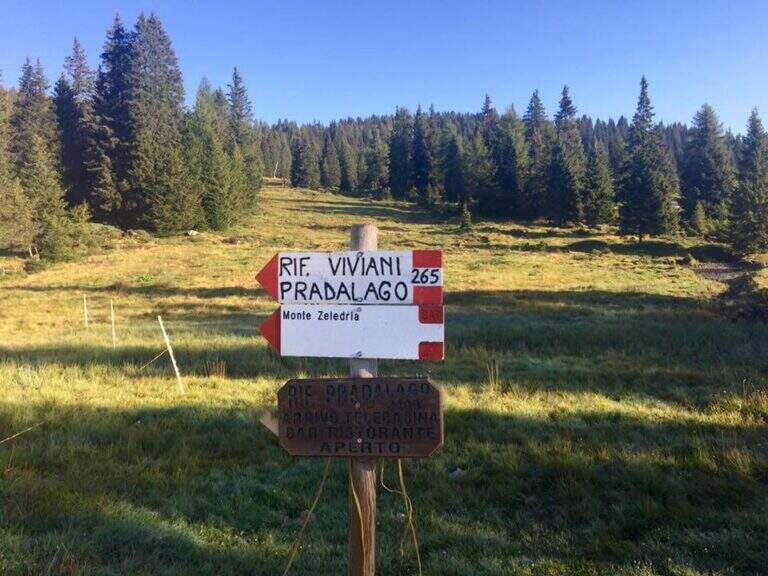
    From Cascina (Malga) Zeledria, in the municipality of Madonna di Campiglio: in the direction of Folgarida, all' height of the Campo Carlo Magno Pass (1682 m), take the left Via Zeledria going up to the hut. Open road signs on Google Maps. From the parking lot you climb to the CAI 265 towards the Viviani Refuge at the Lago Pradalago (40'); staying on 265 you descend slightly towards the Lago delle Malghette and l' the same refuge (1890 m, 1h 30'). Conveyed the lake and around it from the north, follow the CAI 201 to the left and then the CAI 267 to the 3 Lakes: first the Lake Alto, then the 3 Lakes (2282 m) with Lake Medio and Lake Inferiore (1h from Lake Malghette, 2h 30'). On a stretch of ridge, ignored the path that descends towards the Dark Lake, you reach l' attack, signaled by a metal plate (2h 45' from the parking lot).

    ▲The path

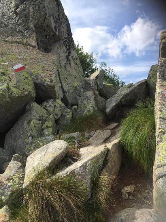
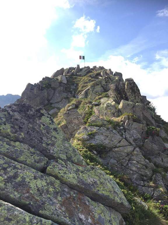
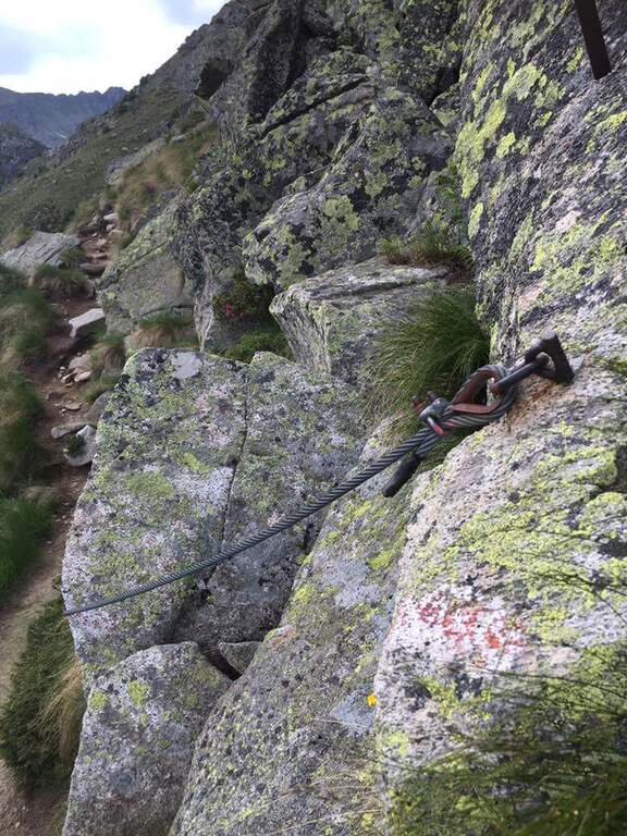
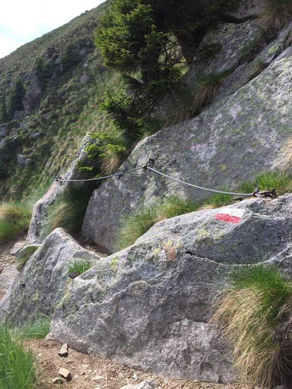
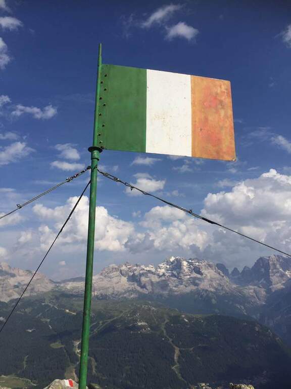
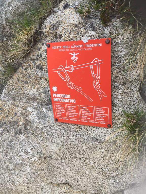
    Continue south to some left flakes; on the right c' ` the junction for CAI 226/B towards Lake Seredoli, but the right is held and the cresta connects Mount Zeledria to Mount Nambino, gaining 150 meters of altitude difference. The stretch è a po' tiring and in some points helped by metal strings and a staircase, up to the vetta (marked by an Italian flag), with magnificent views of the Brenta and the lakes. Then begins the downhill part of Bozzetti, on the eastern side: some stretches equipped with scale and rope protect the steep southern rib that descends towards Lake Nambino. Finish the equipment (red card for those who climb in the opposite direction), go right on easy rocks to Lake Pradalago, where the path ends (1h 30' from the plate, 4h 15' overall).

    ▲Character and difficulty

    Itinerary without particular difficulties: the few exposed points are well protected. Great for approaching neophytes and those with little experience, in a very interesting landscape ring.

    ⚠ Although easy, it is a high-mountain equipped road: helmet and set from recommended ferrata. The ring route is long (about 11 km): calculate well times and weather.

    ▲Discipline

    From the end of the well-equipped path you will cross the section of the approach between Lake Pradalago and Cascina Zeledria down to the parking lot (30' from the end, 4h 45' overall).

    ▲To match

    In the same area of Adamello-Presanella and Brenta there are numerous itineraries equipped; moving south, over Pinzolo and in Val Rendena, the via dei Bocchette and the classics of the Brenta.

    ▲Gallery
    Technical data
    • DifficultyEasy
    • RegionTrentino-Alto Adige
    • ProvinceTrento
    • GroupAdamello-Presanella
    • Approach2h 45'
    • Fully equipped1h 30'
    • Ring itinerary4h 45'
    • Level difference70 m
    • Route difference646 m
    • Maximum2426 m
    • Length11 km
  • Sentiero Attrezzato Burrone Giovanelli

    Sentiero Attrezzato Burrone Giovanelli

    Vie Ferrate › Trentino-Alto Adige › Trento
    Sentiero Attrezzato Burrone Giovanelli

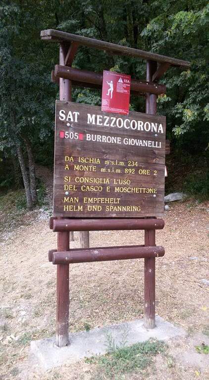
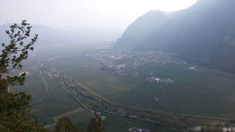
    Il Sentiero Attrezzato al Burrone Giovanelli develops in the suggestive ravine of Mezzocorona, in the province of Trento. It has no particular technical difficulties, it is exposed only in single passages and very pleasant; while being of low altitude you can also travel in summer because it runs largely in a fresh and characteristic hole.

    ▲Approach

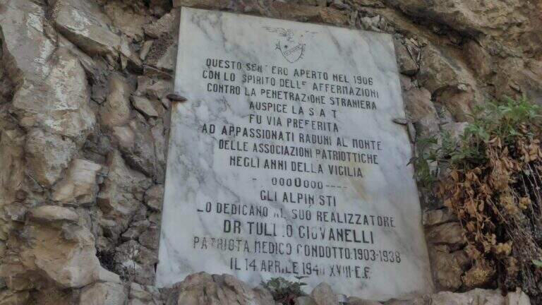
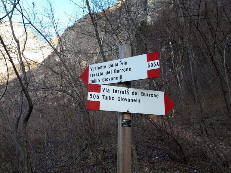
    Starting from Mezzocorona: exit at the toll of San Michele all'Adige (A22) you reach the center, take left Via Cesare Battisti and, before arriving at Mezzolombardo, you will take on the right a narrow but paved road between the vineyards until a parking with information bulletin board. Open road signs on Google Maps. From the parking lot follow the signs of the CAI 505 in the wood; at a first crossroad (5', CAI pole) the sinistra (CAI 505A), a variant più complete, reaching a bridge on the stream and going up on the right horographic up to the red sign and the marble plate that mark l#&39.

    ▲The path

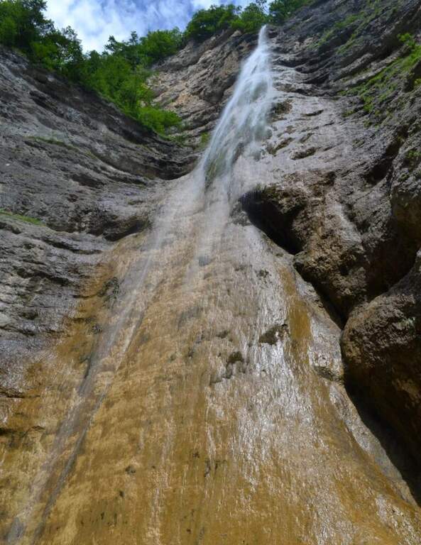
    From the ' start of the equipment an easy cengia horizontal leads to the first waterfall, where you cross the rio and you are under a long metal staircase in two trunks, vertical and exposed but without difficulty; techniques (attention to the wet soles after the forado); at the top, turning, you enjoy the view on the Rotalian Plan. An easy stretch equipped with small rocks and a second ladder più short leads inside the ravine; a slightly uphill nod and a narrow passage equipped lead to the ' real entrance of the hole. A short ladder descends, crosses the rio and goes up the right side on ampie and solid cambre, bending to the right; a short ladder and a nod with wooden catwalk lead to a statua of Madonna. You enter the più tract; ravine ash, little illuminated except in the central hours, climbing alongside the rio in a very suggestive environment until you get out of it; you continue up to a cascade of about 100 meters. Alternating stretches equipped and easy climbs, overcome some wet rocks and a long and lean staircase, you reach l' last staircase that closes the equipment; in about ten minutes the path ends at a forest road (765 m, 1h 15' from' attack, 1h 30' overall).

    ▲Character and difficulty

    Easy equipped way, surpassed thanks to numerous stairs and cambres, with limited exposure to a few steps; the hole environment is the real strength. Also excellent for accompanied neophytes.

    ⚠ After the rio ford the wet soles slip on the stairs: prudence. Rock often wet in the ravine; helmet and set from essential ferrata.

    ▲Discipline

    Adding the forest, for the return there are più options: holding the sinistra you descend into the forest on path 504 up to ' car in about 45' (2h 30' overall); holding the destra, in about one' hour on path 505 (passing from Baita Manzi) you reach the station There is also a più variant; long: it is advisable to check the signs on site.

    ▲To match

    In the area, near, the Ferrata Rio Secco in Cadino di Faedo, la Ferrata di Favogna e la Ferrata Val del Rì mezzolombardo.

    ▲Gallery
    Technical data
    • DifficultyEasy
    • RegionTrentino-Alto Adige
    • ProvinceTrento
    • GroupPayment
    • Approach15 min
    • Fully equipped1h 30'
    • Complete itinerary2h 30'
    • Level difference480 m
    • Route difference670 m
    • Maximum918 m
    • Length5 km
  • Ferrata Anelli delle Anguane

    Ferrata Anelli delle Anguane

    Vie Ferrate › Veneto › Vicenza
    Ferrata Anelli delle Anguane
    Moderately Hard● OpenDescriptionComplexityMapsGallery

    Gli Anelli delle Anguane sono un vero parco di vie ferrate sopra San Pietro Valdastico, sulle bastionate del Sojo di Mezzogiorno: un intreccio di anelli, ponti sospesi, scale metalliche e varianti che si possono combinare in itinerari di difficoltà molto diversa, dalla media fino a sezioni estreme. La quota bassa li rende percorribili gran parte dell’anno, anche d’inverno.

    ▲Approach

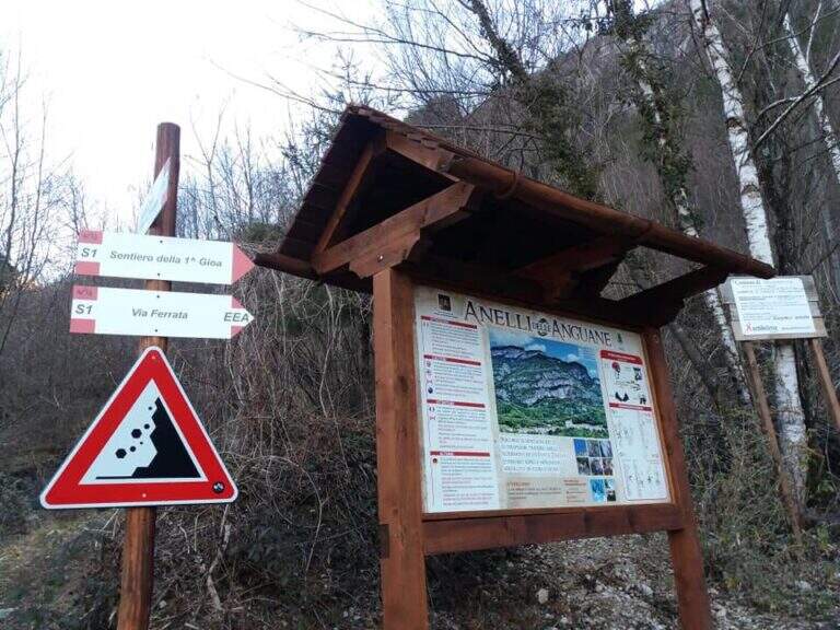
    Dal parcheggio di San Pietro Valdastico un sentiero sale verso le bastionate fino a una bacheca con la mappa dei percorsi; si seguono i sentieri S1 e poi S2 fino all’attacco, raggiunto in 20-25 minuti. Road signs →

    ▲The path

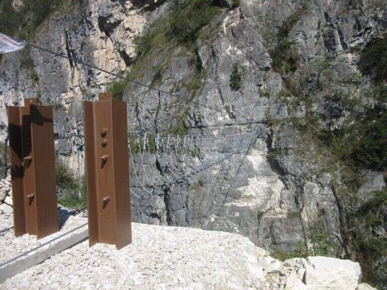
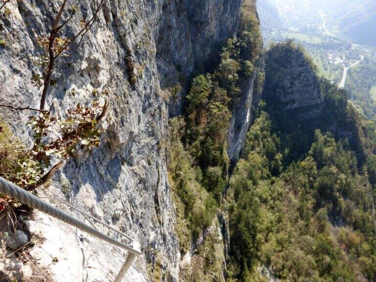
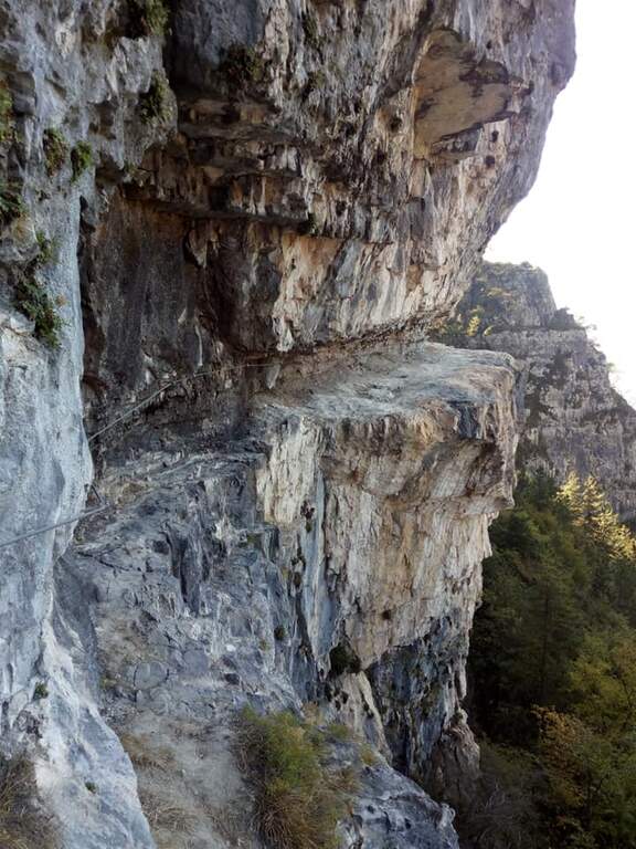
    L’itinerario base alterna paretine verticali ricche di cambre, traversi su roccia compatta, tratti di sentiero attrezzato nel bosco e canalini. Il pezzo forte è il ponte sospeso a quattro corde (circa 25 m), seguito da salite diagonali e brevi strapiombi attrezzati; lunghe cenge esposte collegano i vari anelli. Chi cerca difficoltà maggiori può inserire le varianti estreme: il “Salto delle Anguane” con scale metalliche mobili e tratti strapiombanti, le lunghe scale sospese “Scala Bruna” (40 m) e “Scala Grazia” (70 m), e il “Tetto dei Salbanei”, un tetto roccioso da superare in piena esposizione.

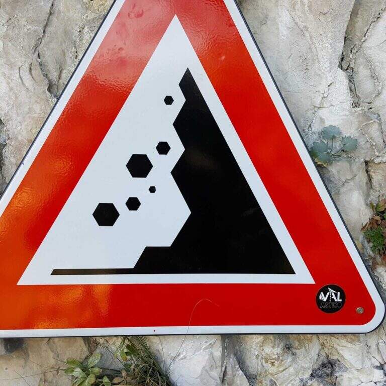
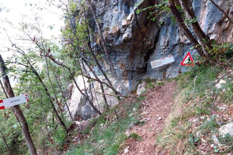
    ⚠ Caschetto obbligatorio: i percorsi si intrecciano e ci possono essere escursionisti sopra, con possibili scariche di sassi segnalate da cartelli. Le varianti estreme (Salto delle Anguane, Tetto dei Salbanei) alzano nettamente difficoltà ed esposizione: affrontale solo se esperti, valutando una longe per le soste. I tempi sono indicativi e dipendono dalla combinazione di anelli scelta.
    ▲Discipline

    Il rientro avviene a ritroso lungo i sentieri di avvicinamento, a seconda degli anelli percorsi.

    ▲To match

    Nelle vicinanze, tra Grappa e Pasubio, si trovano la Ferrata Sass Brusai, la Ferrata di Santa Felicita e la Ferrata Carlo Campalani al Carega.

    ▲Gallery
    Technical data
    • DifficultyModerately Hard
    • RegionVeneto
    • ProvinceVicenza
    • ZonaVal d'Astico
    • Approach0:25 h
    • Ferrata3:00 h
    • Total itinerary4:30 h
    • Hardware level difference300 m
    • Max Altitude750 m
    • Length5,5 km
    • Opening2018
Need help? Write to us!