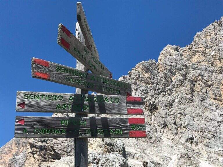
Caratteristica: Tratti esposti non protetti

  • Path equipped Astaldi

    Path equipped Astaldi

    Vie Ferrate › Veneto › Belluno
    Path equipped Astaldi
    Moderately Hard● OpenDescriptionComplexityMapsGallery

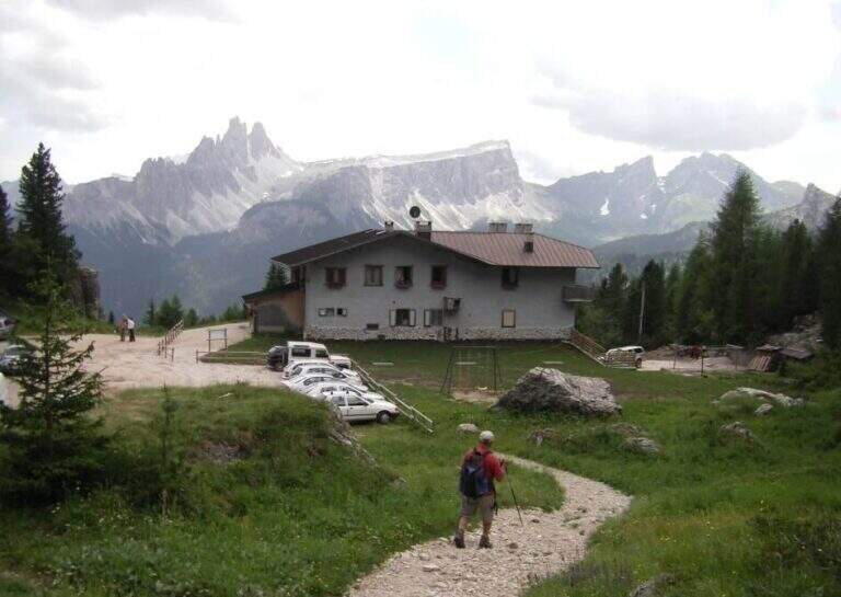
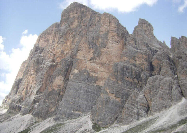
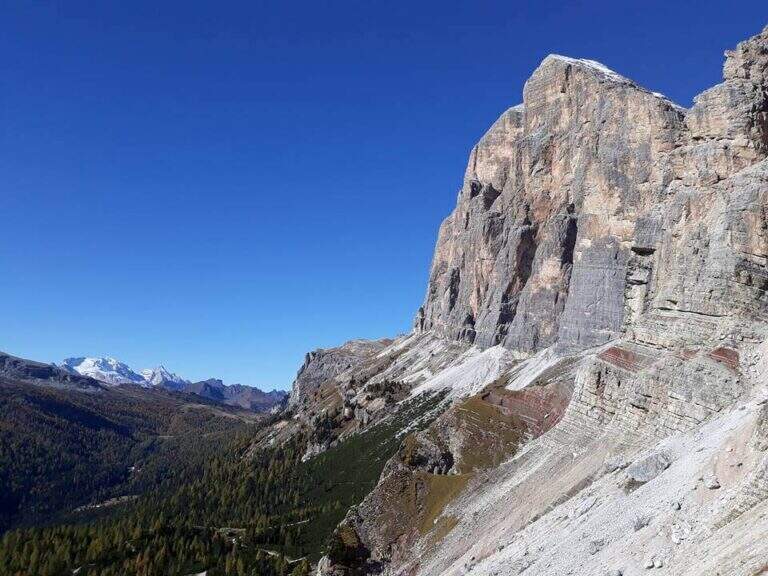
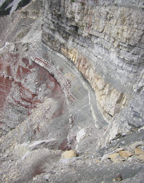
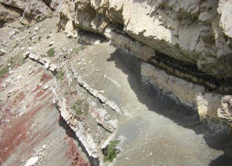
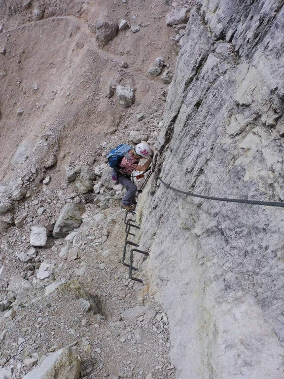
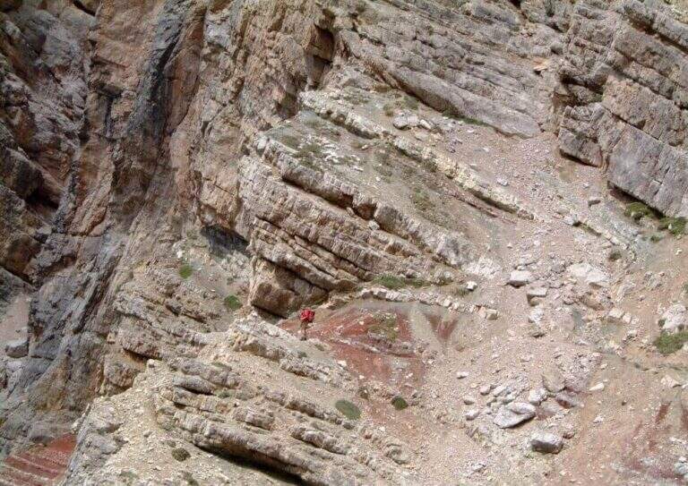
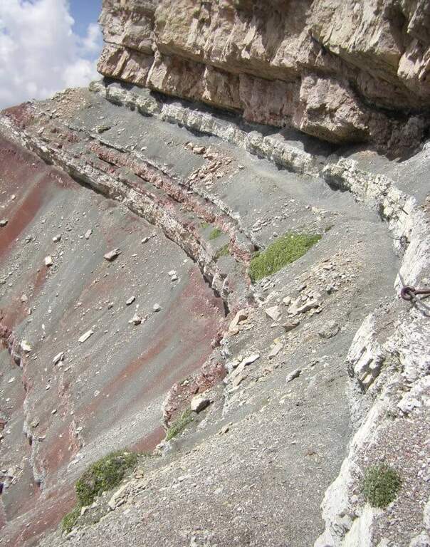
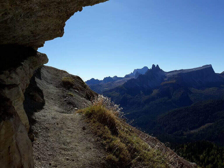
    Il Path equipped Astaldi walks through the base of the southern slope of Punta Anna, in the Tofane above Cortina d'Ampezzo. It is scenically remarkable, with modest technical difficulties and contained physical commitment, ideal for a half day; however, it should be carefully addressed for a couple of unprotected detritic canals.

    ▲Approach

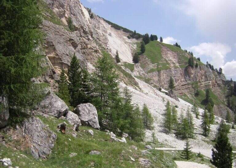
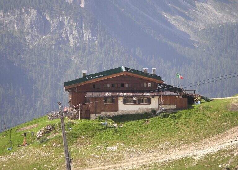
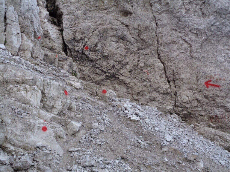
    Starting from the Rifugio Dibona (2083 m), reachable by road paved by the state road Cortina– Passo Falzarego (follow the signs for the Dibona, avoiding the junction for the Rifugio Duca d'Aosta). Open road signs on Google Maps. From the parking lot follow eastwards the sentiero 403 (towards the Giussani Refuge) along the valley between the south face of the Tofana of Rozes to the left and Punta Anna to the right; on the ascent there is a trail that leaves the mule track at a decisive turn left. Go up on detritic slope to a drainage and follow the trail towards the rocky bastion, where – to the right of an artificial foro in the rock – start the path equipped (45' from the Rifugio Dibona).

    ▲The path

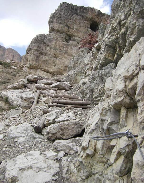
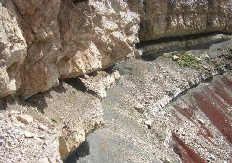
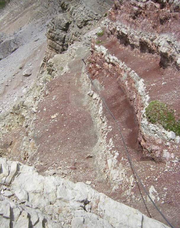
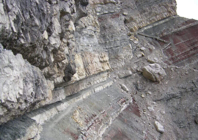
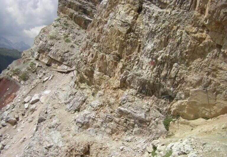
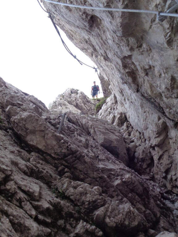
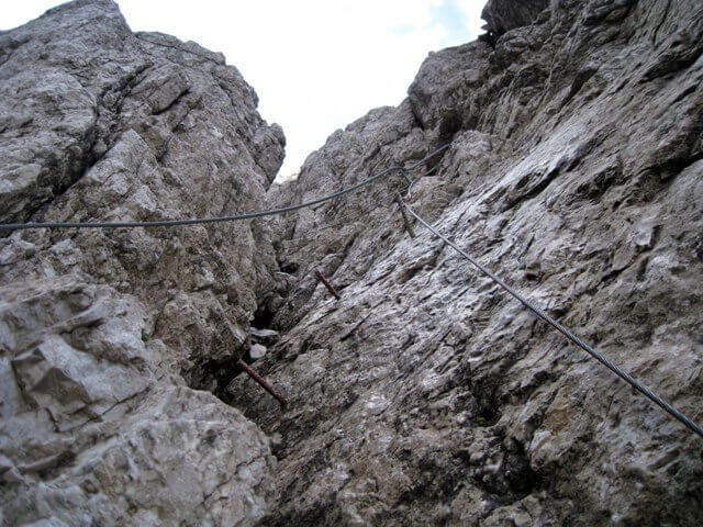
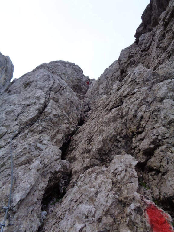
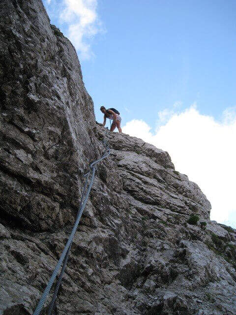
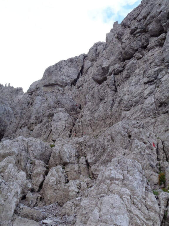
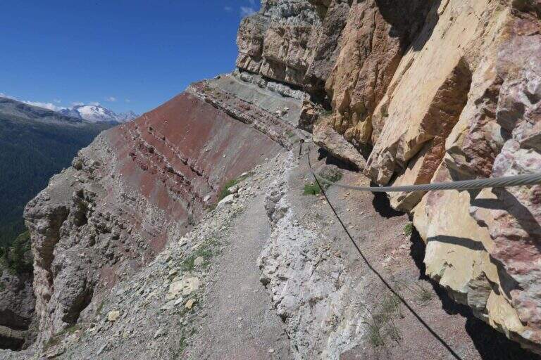
    The trail crosses the colorful Formation of Raibl. You descend a few meters in a canal up to the first rope, which assists on the exposed nod; you continue alternating stretches wide and not protected at più points; tight. At a rocky roof the nod shrinks and in some places it is necessary to lower to pass below. You reach a canale which interrupts the path and goes up using the crossroads placed to make the bottom less slippery; it follows a più nod; exposed above the red stratifications. The passage più is attached to the edge; insidioso: a canal with an unstable, short and unequipped bottom, where è absolutely to avoid a slip. After a short traverse on brackets and another detritic canal, one enters the ' last section, on a più nod; large and largely unprotected; one descends one last stretch and reaches l' last stretch equipped, ending at the sentiero 421 Dibona–Pomedes (1h 15' from the shelter, attack).

    ▲Character and difficulty

    Itinerary mainly in census, of difficultà modest; the critical points are the two non-protected detritic , from the bottom not entirely stable.

    ⚠ Il helmet is indispensable, both for the possible fall of detritic material and for rocky roofs at times low. Maximum caution in unequipped canals: a slip is to be avoided absolutely.

    ▲Discipline

    You return immediately to the parking lot along the sentiero 421 holding the right: between rocks and conifers, in a little più 30 minutes you return to the Rifugio Dibona (2h 15' overall). From the junction è you can climb in 10' to the Pomedes Refuge.

    ▲To match

    The Astaldi connects the two sides of Punta Anna. From the Giussani refuge you can reach Ferrata Lipella to the Tofana of Rozes; on the eastern side the Ferrata Olivieri, la Ferrata Aglio e la Ferrata Formenton.
    ▲Gallery
    Technical data
    • DifficultyModerately Hard
    • RegionVeneto
    • ProvinceBelluno
    • GroupTofa
    • Approach45 min
    • Fully equipped1h
    • Complete itinerary2h 15'
    • Level difference50 m
    • Route difference240 m
    • Maximum2283 m
    • Length3,3 km
  • Sentiero Attrezzato Amalio da Prà al Monte Ciareido

    Sentiero Attrezzato Amalio da Prà al Monte Ciareido

    Vie Ferrate › Veneto › Belluno
    Sentiero Attrezzato Amalio da Prà al Monte Ciareido
    Moderately Hard● OpenDescriptionComplexityMapsGallery

    Il Sentiero Attrezzato Amalio da Prà circumvents Monte Ciareido in the Marmarole, a much less popular dolomitic group of neighbors and for this wild and surprising. It is a medium difficulty ring: a couple of challenging equipped steps and, above all, exposed and unprotected traits that raise the overall commitment.

    ▲Approach

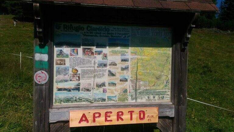
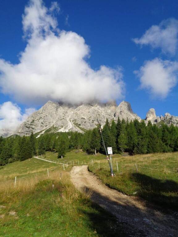
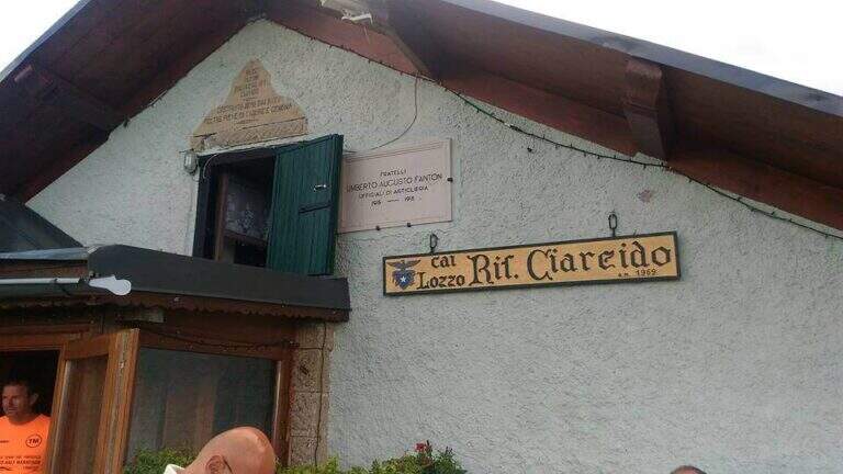
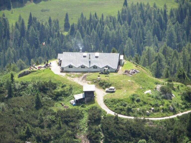
    It starts from the Parco to the Memory of Pian dei Buoi, above Lozzo di Cadore. Just before the' intersection between the SS52 and the SS51 a road on the left, with indications for the Ciareido and the Marmarole, rises for several kilometers and è narrow: in high season there is the senso unico alternating at times (verify on the site of the Municipality). You get to' last parking (100 places), not far from the Ciareido Refuge. Open road signs on Google Maps. Continue on the dirt road until the Rifugio Ciareido (1969 m, 15' from the parking lot); just beyond, at a crossroad, the destra is held on the CAI 272 towards the north, remaining on the floor until a crossroad where on the left a path with red signs climbs rapidly towards l' obvious fork between the Ciareido and a.

    ▲The path

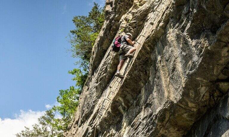
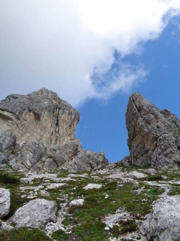
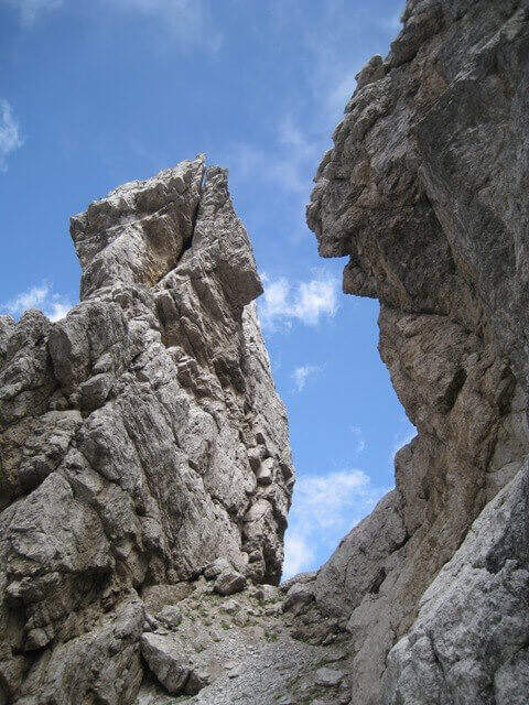
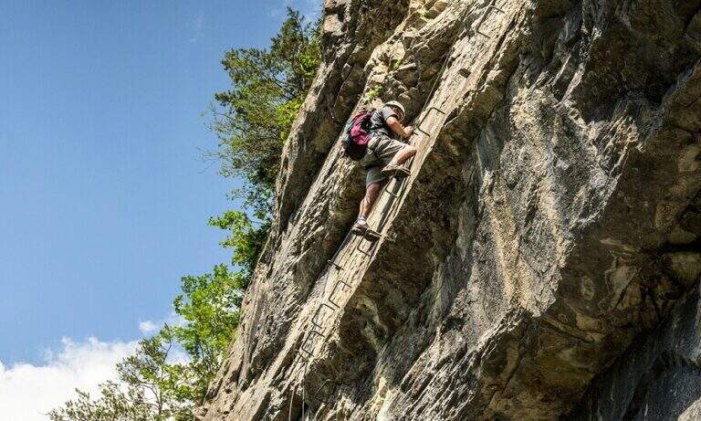
    From the fork you go down to the left and quickly meet the equipment: the cable acts as the runner downhill to bypass the Pian dei Buoi Tower first and then the east side of the Ciareido; characteristic a passage where the cable runs along a channel carved diagonally into the wall. The path descends steeply and bends to the left with some cenge almost always protected. Start the più tract; interesting: you descend a few meters in dis climbing on the east walls of the Ciareido, you walk a stretch of exposed and equipped path and you go up a vertical parete equipped – the più point; difficult of the track, however on moderate levels. A last canal with a few leaps closes the equipment; we continue halfway following the abundant signs to the fork on the south side of the Ciareido, where the equipped path ends (1h 30' from' attack, 2h 30' from parking).

    ▲Character and difficulty

    The equipped parts are quite easy, except for the downhill section and the vertical wall to rise, not trivial. L' greater commitment lies in the unprotected tracts and exposed, where they serve firm foot and attention: no excessively difficult passage, but not to underestimate.

    ⚠ Some sections remain often snow-covered even in late season: è prudent to bring peak and ramps. Maximum attention in exposed and unequipped steps.

    ▲Discipline

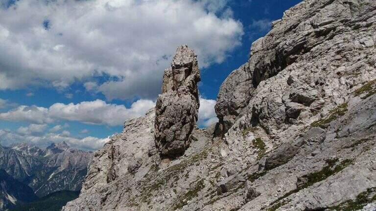
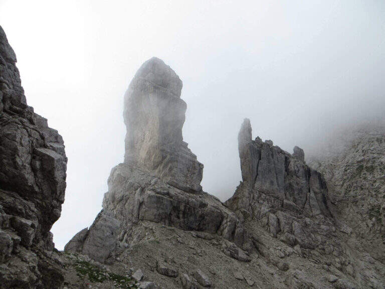
    From the end the parete south of the Ciareido (leaving behind the spire called « Il Pupo») in a very beautiful environment, descending towards the refuge. At a crossroads, you can go right to the Rifugio Baion-Boni (1828 m, 45' from the end), or continue bypassing the Ciareido to the Rifugio Ciareido dell' then go back to the parking lot (1h 15' from the end, 3h 45' overall).

    ▲To match

    Nearby, challenging, the Sentiero Attrezzato degli Alpini that climbs to Forcella Jau Tana: easy in the equipped but of strong character in those not protected, to reserve to experienced hikers.

    ▲Gallery
    Technical data
    • DifficultyModerately Hard
    • RegionVeneto
    • ProvinceBelluno
    • GroupMarmarole
    • Approach1h
    • Fully equipped1h 30'
    • Ring itinerary4h
    • Level difference100 m
    • Route difference550 m
    • Maximum2298 m
    • Length8,7 km
Need help? Write to us!