Gruppo: Alpi Cozie – Val di Susa

  • Sentiero Attrezzato degli Alpini in Punta Charrà

    Sentiero Attrezzato degli Alpini in Punta Charrà

    Vie Ferrate › Piedmont › Turin
    Sentiero Attrezzato degli Alpini in Punta Charrà
    Moderately Hard● OpenDescriptionComplexityMapsGallery

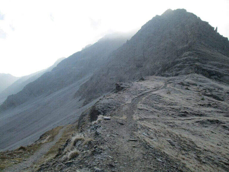
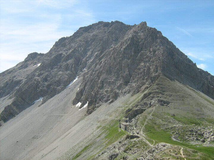
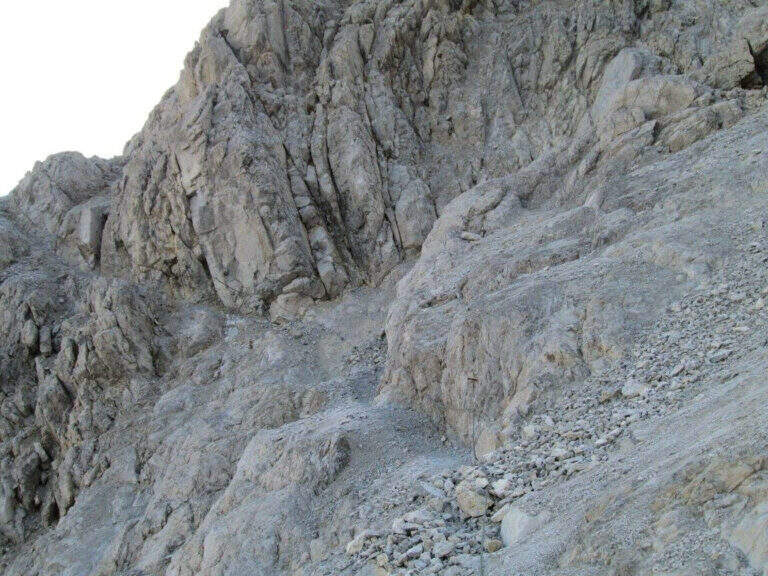
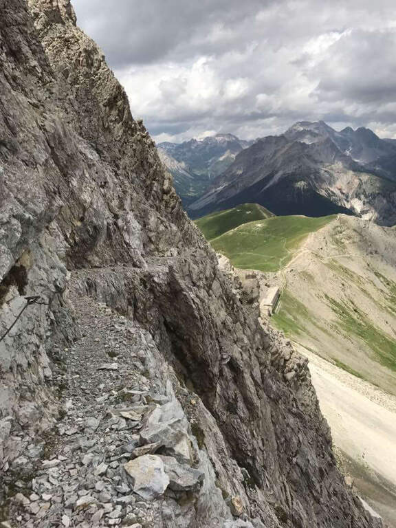
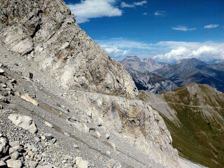
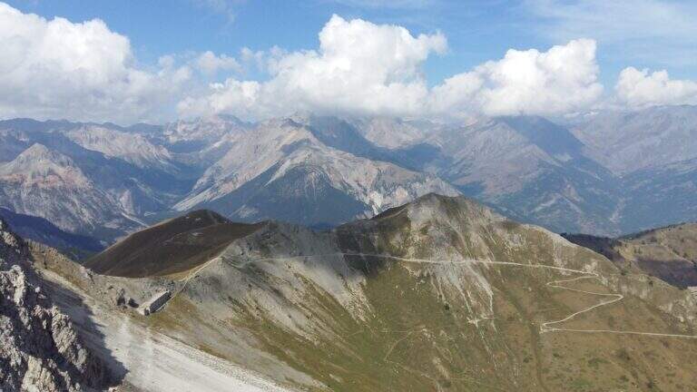
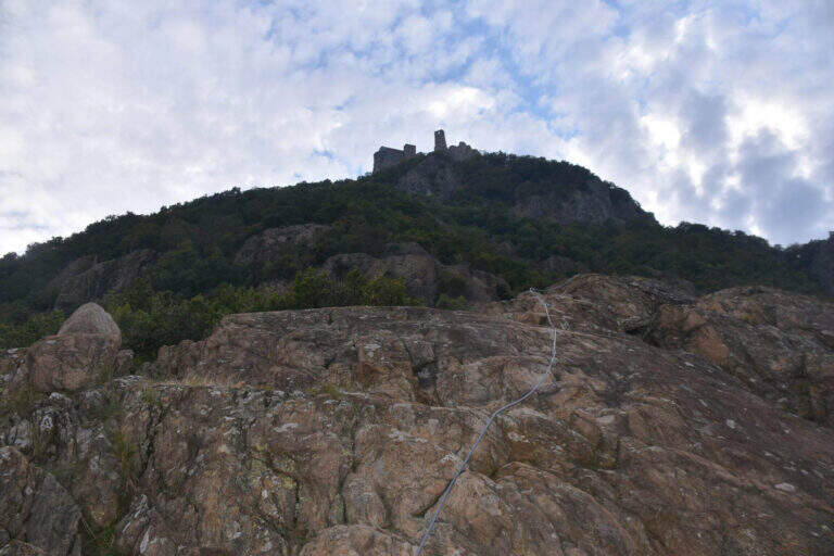
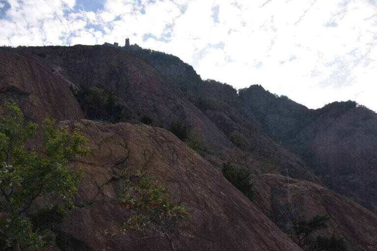
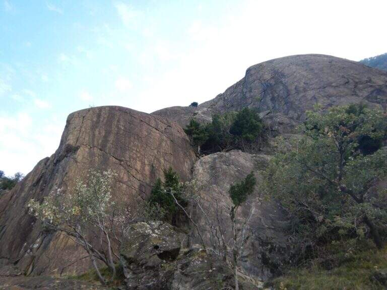
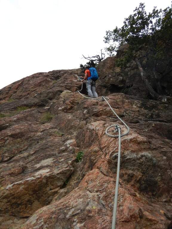
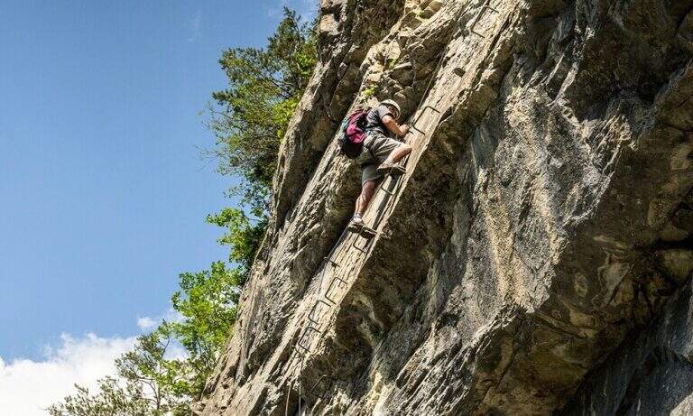
    On the ridge that divides Italy and France over Bardonecchia, this equipped path connects the Passo della Mulattiera to Passo della Sanità, at the foot of Punta Charrà. The development is almost entirely horizontal: the equipment is mainly used to secure the progression on soil at times unstable and on thin waxes, while the vertical passages are practically absent. There is a long itinerary and great hiking breath, but to be faced with stable time because along the path there are no support points.

    ▲Approach

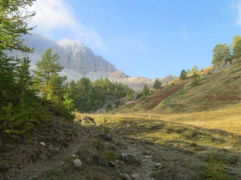
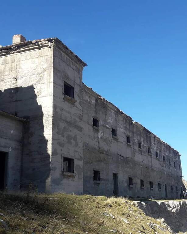
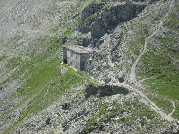
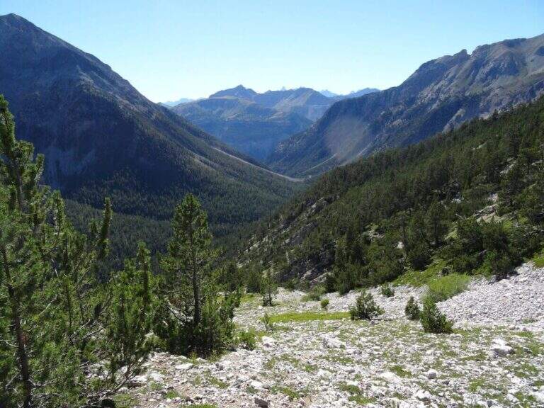
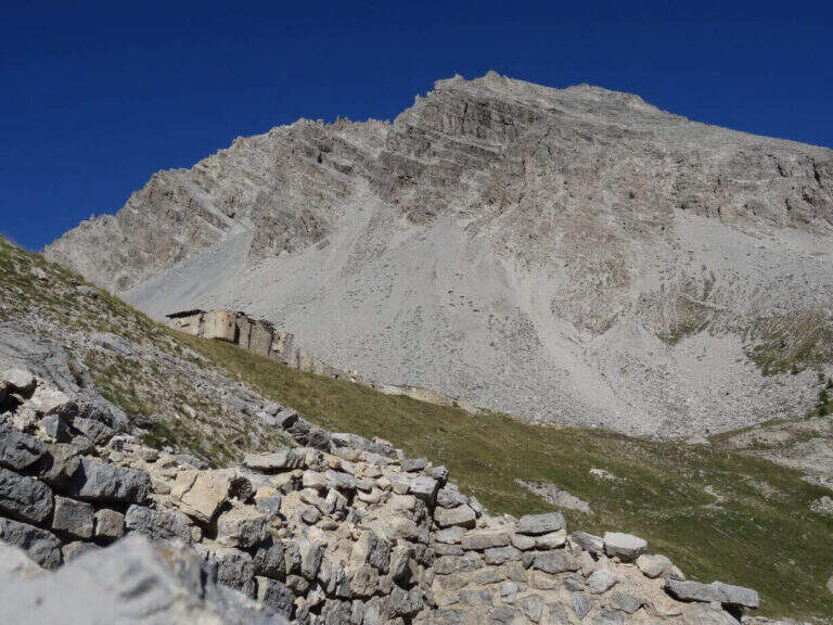
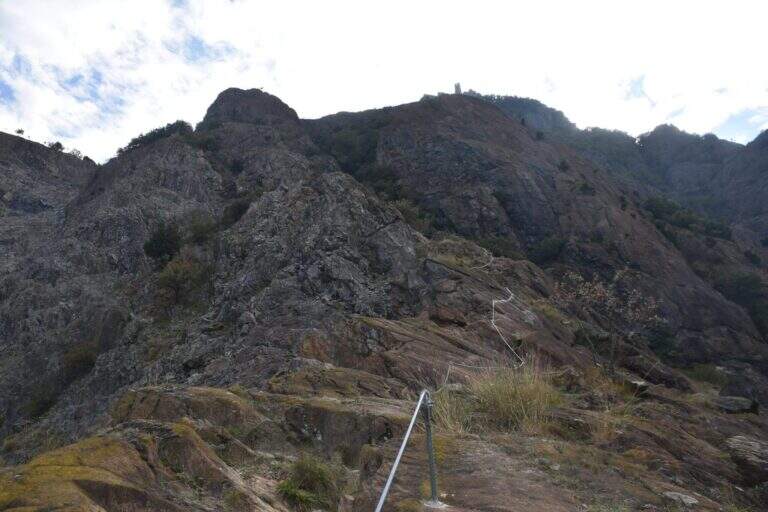
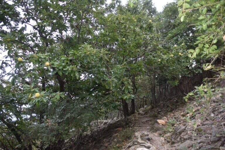
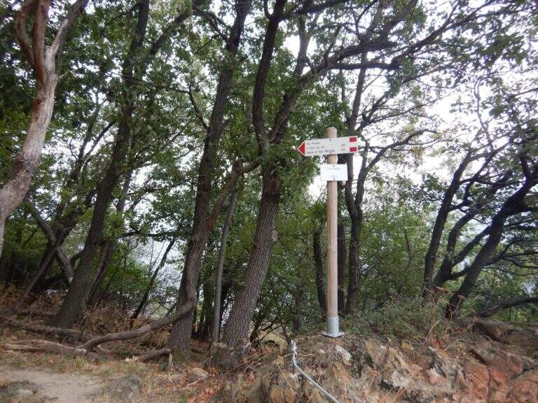
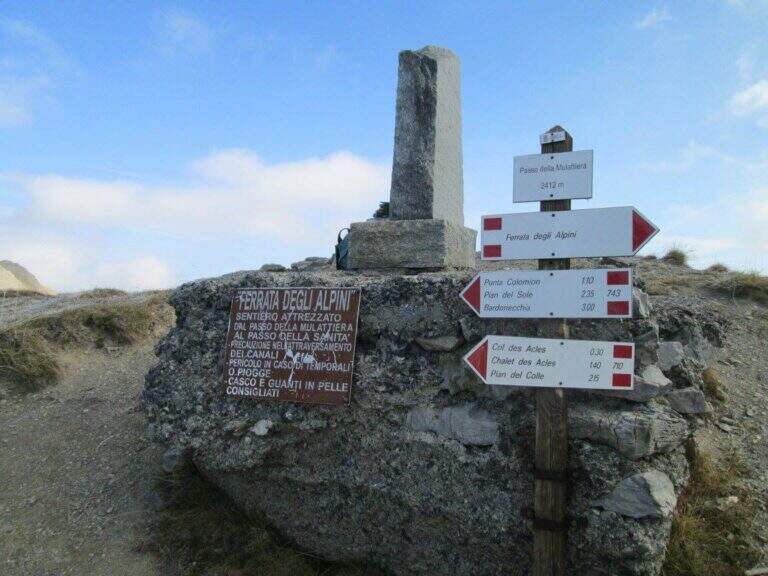
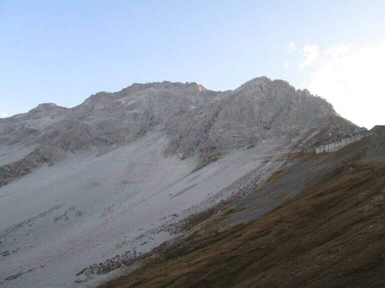
    The recommended base is the Colletto del Colomion, which can be reached by cable car from Bardonecchia (Pian del Sole) and by car. Who climbs by car points to the small town of Puys: you arrive first to Beaulard, in Val di Susa, and — going up from the valley — just before leaving the village you cross the railway to the left taking Via San Giusto; you follow it up to a blue sign that indicates Puys at 3 km, on narrow but asphalted road. From Puys you continue on dirt until the Colletto del Colomion, where you should leave the car because beyond the bottom becomes difficult (open up Google Maps). From the parking lot you walk on the dirt road towards the Passo della Mulattiera: the path climbs first to the edge of the forest in a beautiful valley, then cuts halfway up to the pass (2412 m, 1h15 from the parking lot), where rises the barracks of the Alpini XVI, abandoned but visitable. The Passo della Mulattiera is a well-marked crossroads: it is held the left towards Punta Charrà, which faces the obvious carving in the rock. It avoids the steep direct ridge and cuts diagonally the north slope, on a blue track and radi signs, until the beginning of the equipment (15′ from the step, 1h30 from the parking lot).

    ▲The path

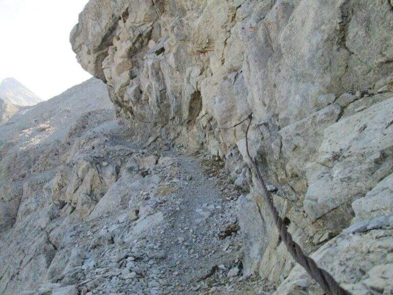
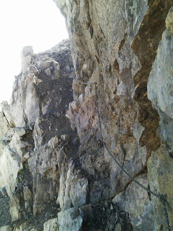
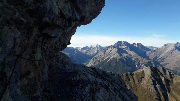
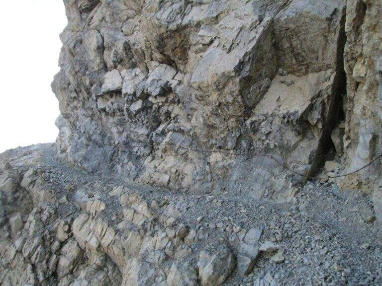
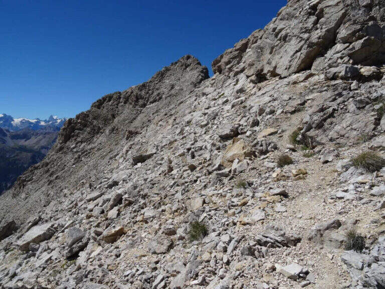
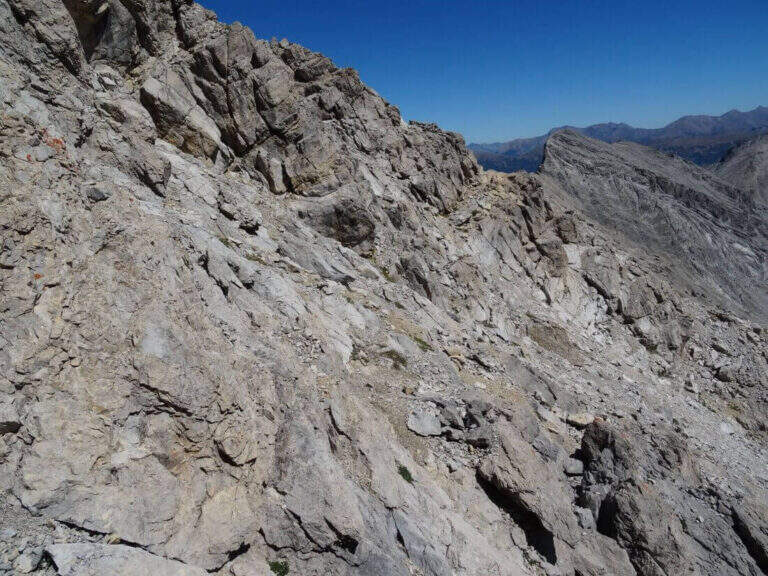
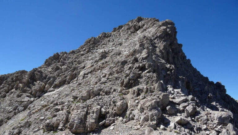
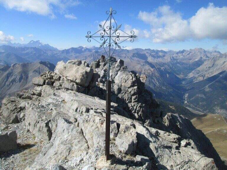
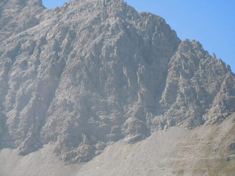
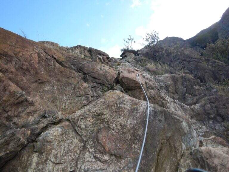
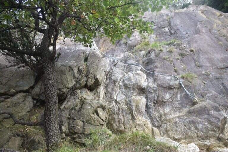
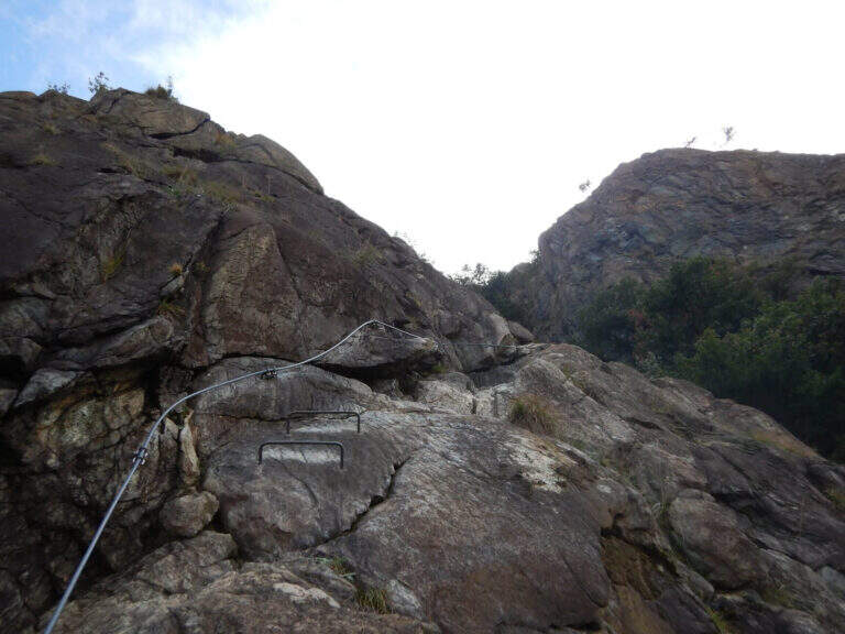
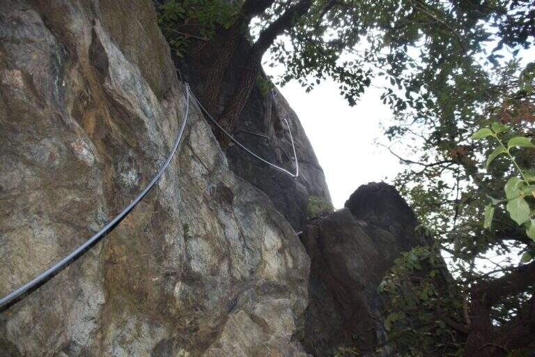
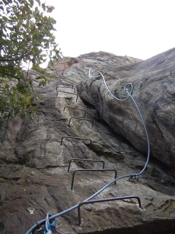
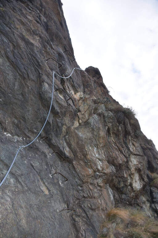
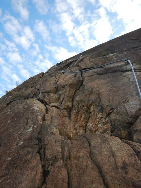
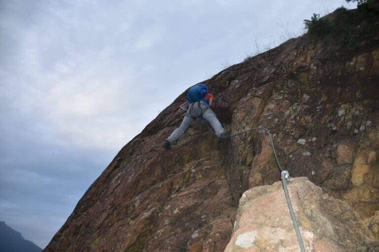
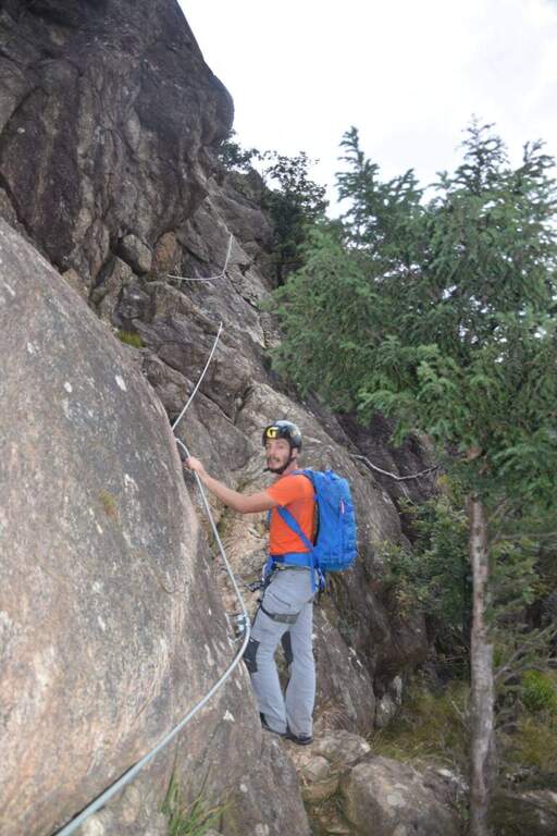
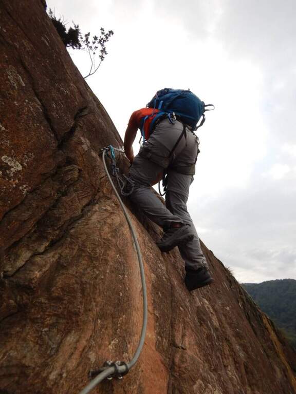
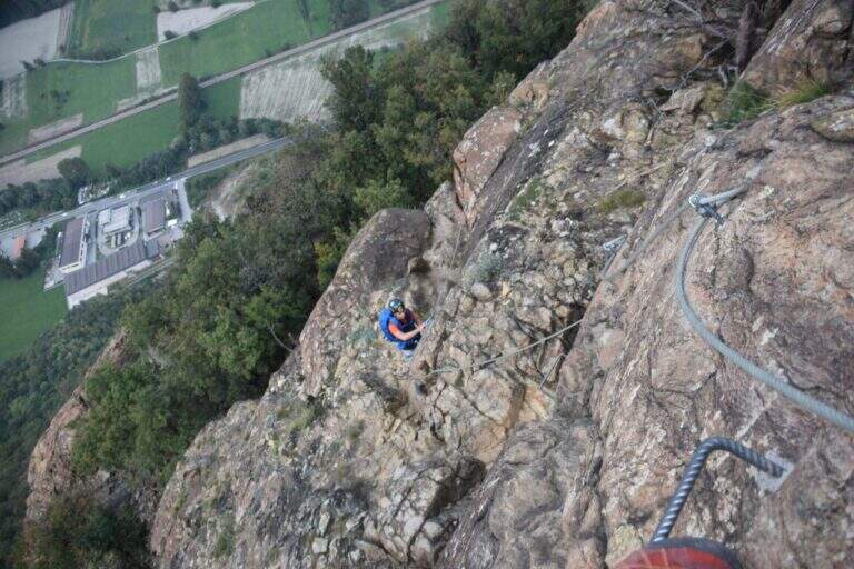
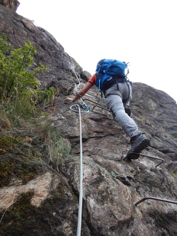
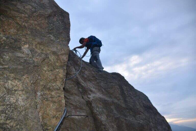
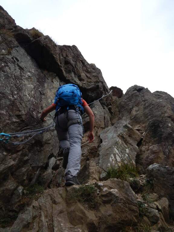
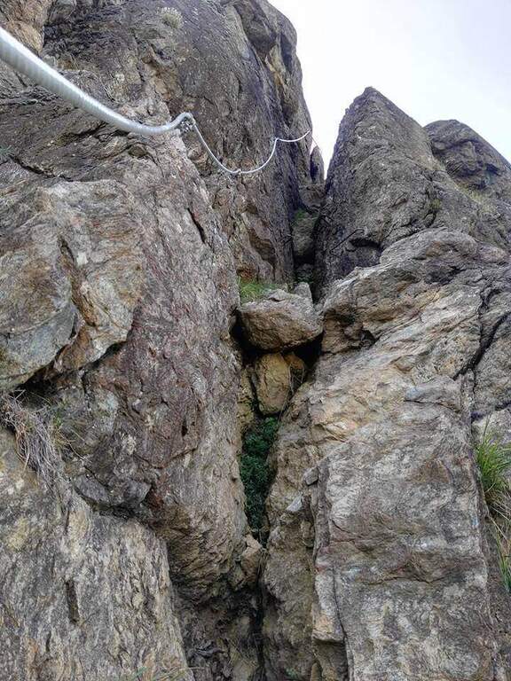
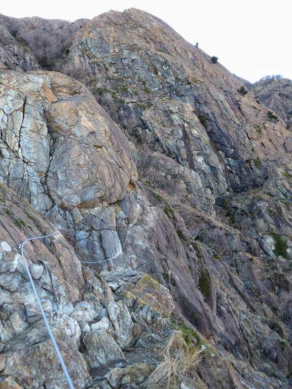
    The cable starts along a nod, first flat and then more marked. At first the rope is dated and lasca, but the ease of the soil does not create problems; later the nod shrinks and the bottom, made of guinea pig, gives little safety, so the cable acts as a precious handrail. We proceed between carvings and canals to be overcome with cable or chains, always to your right, with exposure that grows but technical difficulties almost null, except some point for the infido fund. The equipment ends at Passo della Sanità (2629 m, about 1h from Passo della Mulattiera). The optional climb — but recommended — to the summit follows the obvious ridge: you first gain a grassy slope on easy track up to a first natural carving, then you climb with caution between smossi rocks, transverses, spikes and rocks, following the numerous omits and red signs; where you do not follow the dorsal remains on the south side. After a couple of ups and downs you touch the top of Punta Charrà (2843 m, 1h from Passo della Sanità, 2h from Passo della Mulattiera, about 3h30 overall).

    ▲Character and difficulty

    Taken to itself, the equipped part is easy and without real technical difficulties, developing mainly horizontally. What is committed is the high mountain environment: the excursion is long and requires preparation, experience and orientation, especially in case of uncertain weather. The equipment was modernized and in good condition at 2021.

    ⚠ Itinerary not recommended with unstable weather: the route lacks support points. Also at the beginning of the summer season it is not rare to find snowy canals in rather exposed traits: recommended peak.
    ▲Period and safety

    Summer season, with a maximum altitude of 2843 m in the Alpine border. For the length of the ring and the exposure of some traits serve steady pace, training for the total 6h45 and attention to the snow conditions remaining in the canalons.

    ▲Discipline

    From the top you return to the Passo della Sanità (about 45′). From here two possibilities. The first is to retrace the Alpine Path to the Mulattiera Pass and then return to the parking lot on the ascent route. The second is to close a ring around Punta Charrà descending into French territory in the valley des Acles: it falls steeply to zig-zag on debris to the wood, where the path is almost flat, then cuts the south side up to a rocky shoulder beyond which appear the barracks of the French army under the Col des Acles; from there follow the signs that bring back to the ascent 30 From the pass you return to the parking lot (about 6h45 total).
    ▲Gallery
    Technical data
    • DifficultyModerately Hard
    • RegionPiedmont
    • GroupCozie Alps – Val di Susa
    • Approach1:30 h
    • Ferrata2:00 h
    • Itinerary (a/r)6:45 h
    • Hardware level difference217 m
    • Route difference850 m
    • Max2843 m
    • Length14 Km
  • Ferrata Carlo Giorda alla Sacra di San Michele

    Ferrata Carlo Giorda alla Sacra di San Michele

    Vie Ferrate › Piedmont › Turin
    Ferrata Carlo Giorda alla Sacra di San Michele
    Moderately Hard● OpenDescriptionComplexityMapsGallery

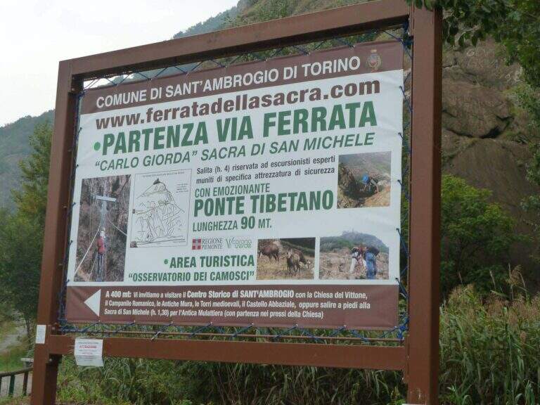
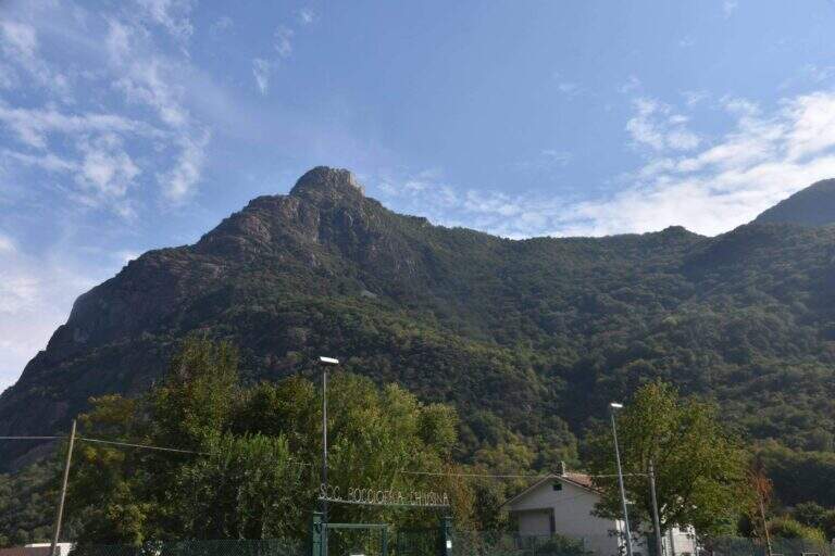
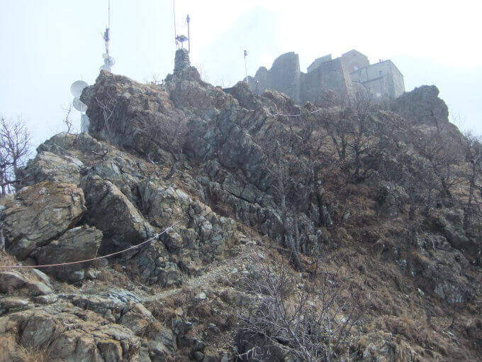
    La Ferrata Carlo Giorda risale il versante nord del Monte Pirchiriano fino ai piedi dell’Abbazia della Sacra di San Michele, in Val di Susa. È una via lunga ma mai difficile, varia e piacevole, in gran parte arrampicabile, impreziosita da due ponti sospesi — il primo lungo e adrenalinico.

    ▲Approach

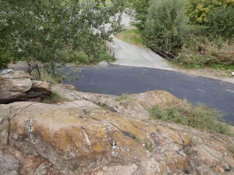
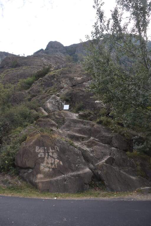
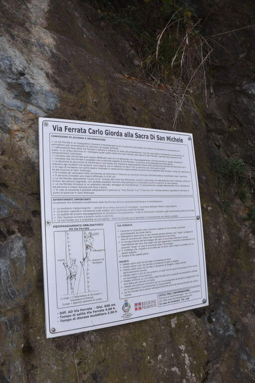
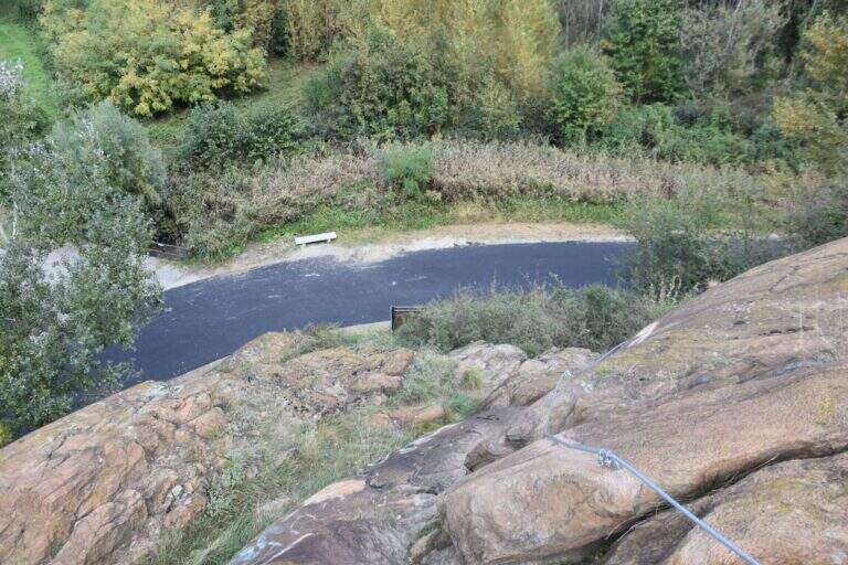
    Punto di partenza Chiusa San Michele (Torino): lungo la SS25 del Moncenisio, tra Sant’Ambrogio di Torino e Ponterosso, prima di un laghetto da pesca si nota uno spiazzo con una bacheca di legno e, dietro, il monte con in cima la Sacra (starting point on Google Maps). Attacco e sviluppo della via, oltre al lungo ponte, sono già visibili dal parcheggio. Ci si incammina sull’ampio sentiero, si attraversa un ponticello e si raggiunge l’attacco, segnalato da un cartello bianco con le indicazioni di sicurezza; poche facili roccette portano al cavo (5′ dal parcheggio).

    ▲The path

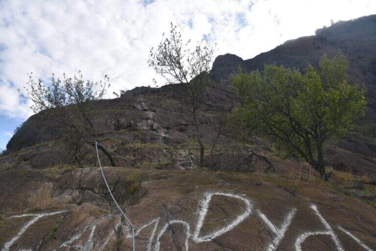
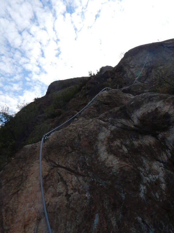
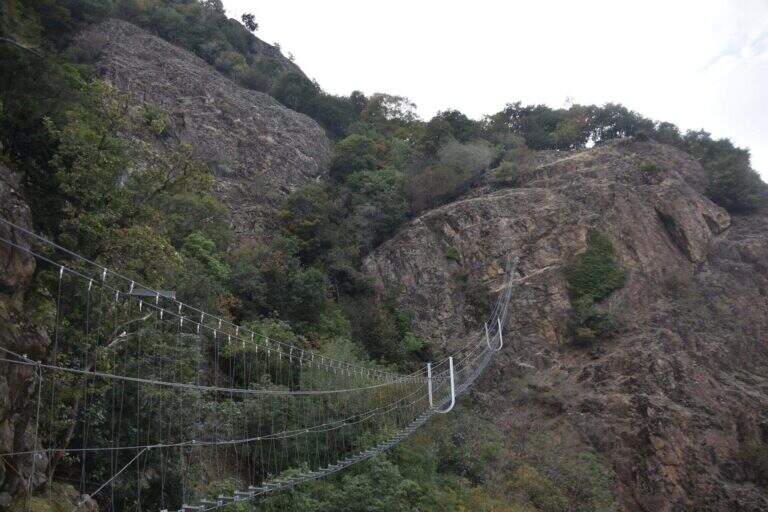
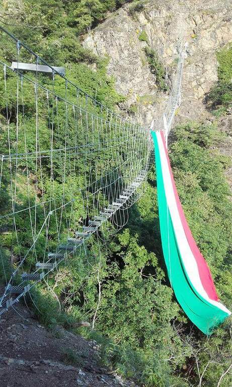
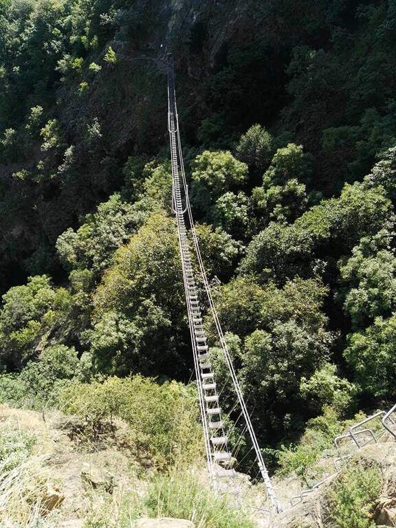
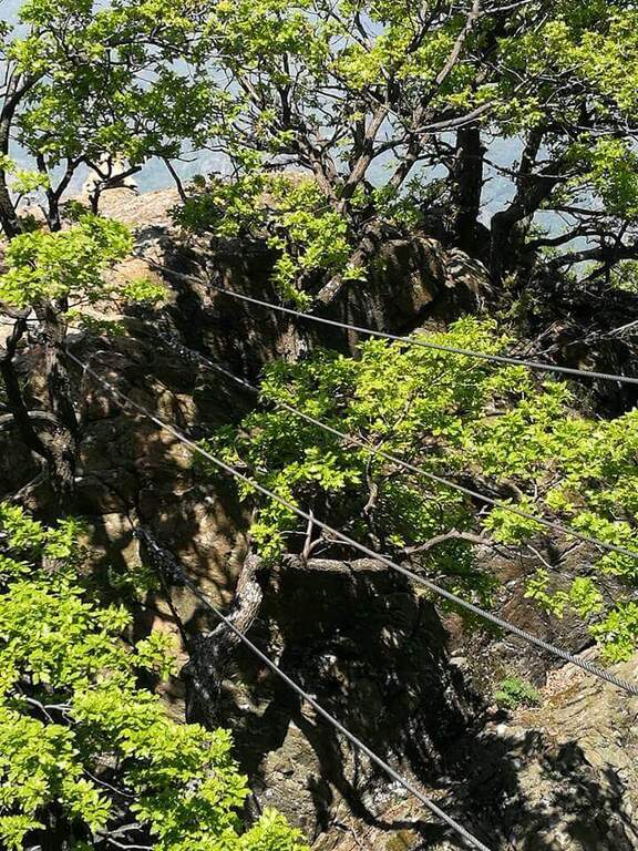
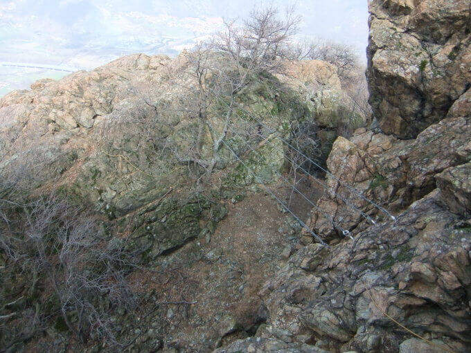
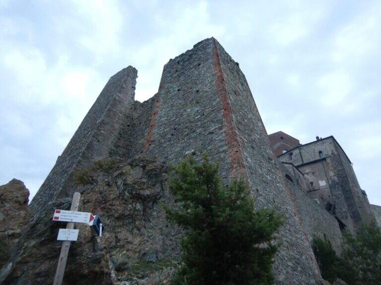
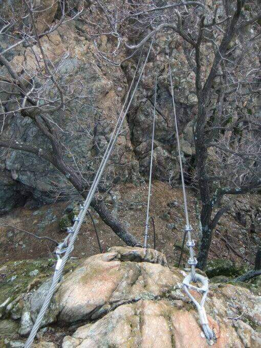
    La prima sezione risale in diagonale una rampa e facili roccette arrampicabili, con appigli abbondanti ma una fastidiosa patina scivolosa che accompagna tutta la salita. Dopo un tratto di collegamento si riprende su facili traversi e passaggi arrampicabili, uno spigolo, un camino attrezzato e un traverso a destra panoramico sulla Val di Susa; segue l’unica placca verticale della via, adrenalinica ma non difficile, e una serie di placchette e balzi su roccia più liscia che richiede concentrazione. Alla fine del primo tratto c’è una via di fuga a sinistra; proseguendo a destra, un sentiero attrezzato con saliscendi a tratti esposto conduce al lungo ponte sospeso (circa 80 metri, con ampi pioli, più ballerino nella prima metà; aggirabile con un cavo a guaina gialla). Oltre il ponte si risale una parete verticale con staffe, si aggira uno spigolo e, per una breve cengia e un tratto di collegamento, si attacca la parete nord-ovest del Pirchiriano: un susseguirsi di rampe, paretine, facili diedri, camini e canalini quasi sempre arrampicabili, il tratto più vario e appagante (circa 1h). Si incontra una seconda via di fuga (in pessimo stato), poi una nuova serie di passaggi di media difficoltà e un secondo ponte sospeso (su quattro corde, circa 15 metri) seguito da un traverso obliquo; gli ultimi balzi portano ai piedi delle mura della Sacra di San Michele (circa 3h 30′ dal parcheggio).

    ▲Character and difficulty

    Via lunga, varia e nella quasi totalità arrampicabile; i due ponti sospesi (aggiunti nel 2016 il primo) aggiungono esposizione e adrenalina. Dedicata a Carlo Giorda, alpinista e istruttore CAI piemontese. Difficoltà complessiva: Moderatamente Difficile.

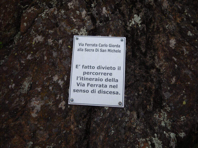
    ⚠ È vietato percorrere la via in discesa. La roccia è in più punti lisciata dai passaggi e con patina scivolosa: serve un minimo di tecnica. Attenzione al caldo estivo (bassa quota); lungo il rientro sono presenti due fontane.
    ▲Period and safety

    Bassa quota (max 962 m): percorribile gran parte dell’anno, da evitare nelle ore più calde d’estate. Cartografia consigliata: carta della Val di Susa.

    ▲Discipline

    Dal termine si segue la traccia a destra che aggira la parete ovest della Sacra (tratti attrezzati con tubolari verdi); dopo circa 5′ si segue il cartello “uscita della ferrata” e in 10′ si esce sulla strada asfaltata per la Sacra. Dritto davanti scende una mulattiera nel bosco fino alla borgata di San Pietro; tenendo la sinistra si esce dalla borgata e si riprende la mulattiera che a tornanti scende a Sant’Ambrogio. Lungo la via principale si tiene la sinistra costeggiando le pareti del Pirchiriano fino a ritrovare, dopo un canale, la parete d’attacco e il parcheggio (circa 1h 20′ dal termine, 5h totali).

    ▲To match

    Vicine la Ferrata della Ruceia e la Ferrata di Caprie. Risalendo la Val di Susa, le ferrate negli orridi: Orrido di Foresto e Orrido di Chianocco; più lontane la Ferrata di Rocca Clarì, la Low Battery Hardware and the long Ferrata allo Chaberton verso Claviere; a Bardonecchia la Ferrata del Rouas. Nel 2024 ha aperto la Ferrata delle Cascate di Novalesa.

    ▲Gallery
    Technical data
    • DifficultyModerately Hard
    • RegionPiedmont
    • GroupCozie Alps – Val di Susa
    • Approach0:05 h
    • Ferrata3:30 h
    • Itinerary (a/r)5:00 h
    • Hardware level difference574 m
    • Route difference606 m
    • Max962 m
    • Length6,7 Km
Need help? Write to us!