The Tru Dolomieu Path is the most challenging route of the Conturines group, in Alta Badia (BZ): 10 total hours, 1800 m of altitude difference and a wild and lonely Dolomite environment. Reserved for experienced mountaineers, it offers spectacular peaks and absolute silences in the UNESCO World Heritage Dolomites.
Si parte da La Villa (Alta Badia, BZ) salendo in seggiovia fino a Pra di Rit o in auto per la strada forestale. Si segue il segnavia verso i Conturines, raggiungendo il Rifugio Gardenaccia (2050 m) in circa 1 ora e 30 minuti. Dal rifugio si prosegue verso il Piz Conturines per sentiero fino all’attacco, raggiunto in circa 3 ore totali dalla partenza.
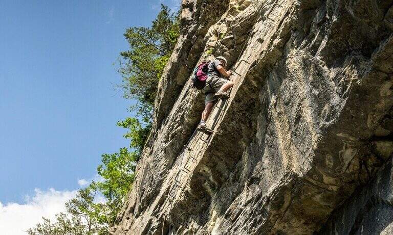
The Tru Dolomieu dates back to the walls of the Conturines with a sequence of equipped passages — fixed ropes, chains, stairs — in a strongly exposed environment and at high altitudes (over 3000 m). The Piz Conturines (3064 m) is the highest peak of the group and is the main term of the route. L’ route is long, physically very challenging and requires excellent altitude orientation.
Hard difficulty. The length of the route (10 hours, 1800 m of altitude difference), the altitude above 3000 m and the remote and lonely environment make this route suitable only for mountaineers with solid experience. It is not an itinerary for beginners or those who are not accustomed to the demanding equipped routes.
The descent takes place on the normal route of Piz Conturines or on the west side towards Val Badia, returning to La Villa. Total itinerary: about 10 hours for 17 km with 1800 m of altitude difference.
- DifficultyHard
- RegionTrentino-Alto Adige
- GroupConturines / Alta Badia Dolomites
- Approach3:00 h
- Ferrata3:00 h
- Itinerary (a/r)10:00 h
- Hardware level difference550 m
- Route difference1800 m
- Max3064 m
- Length17 Km
