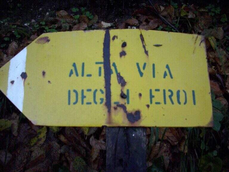
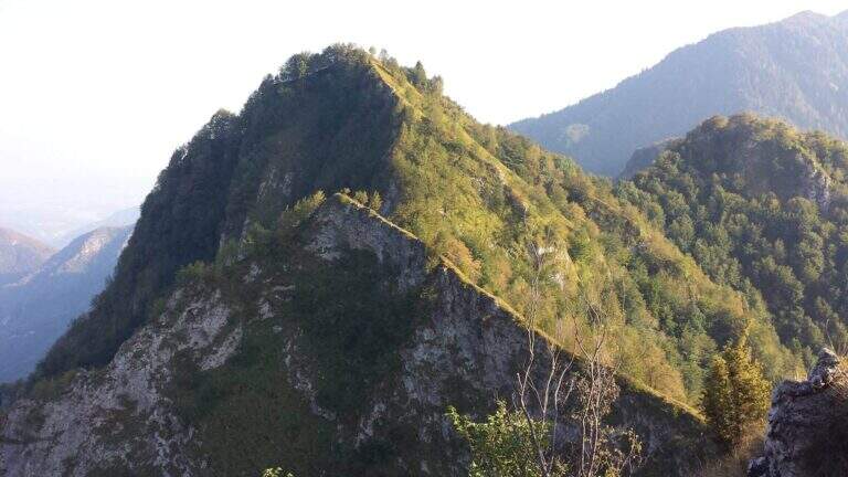
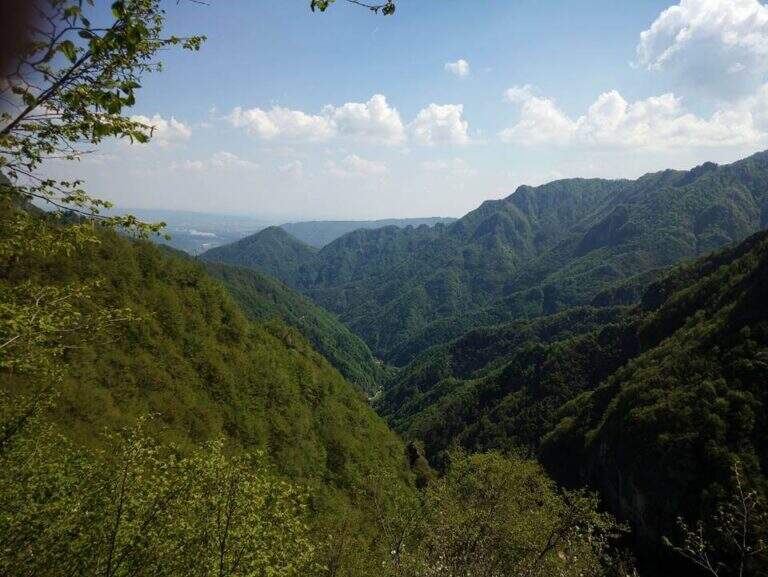
The Athletic Path of the Heroes rises to Mount Peurna, in Val Schievenin. It is easy in the short stretches equipped, but ostic in the long stretches not protected on unstable background; the itinerary is not subject to punctual maintenance and sometimes it is difficult to identify. It runs in an area full of testimonies of the Great War.
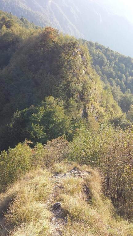
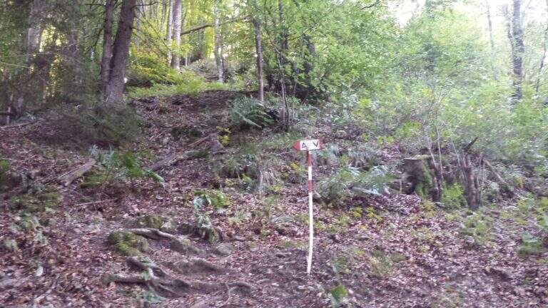
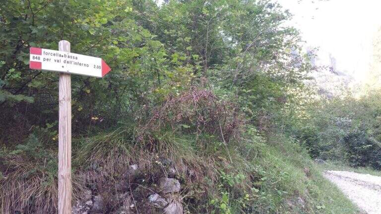
You reach the Schievenin Valley, in the province of Belluno: from the Piave valley, near Quero, you proceed towards the east following the indications for Schievenin; arrived in the village you enter the valley on a narrow but paved road until a parking lot, beyond which there is no transit (attention to some colatoi and holes that can damage the low cars) (open up Google Maps). From the parking lot (515 m) you walk along the road to the north, on dirt road with signpost 848, following for Forcella Bassa; in proximity to a curve a track takes off to the left in the wood, without pole and signaled only by a small sign (15′ from the parking lot). The path 848 climbs along the Valley of Hell to Forcella Bassa: a stretch that at 2017 was rather poorly kept, with divel trees, trace at times difficult to spot and half-coast passes on slippery bottom and exposed on the left side. Adding Forcella Bassa (1044 m, 1h from the crossroads), the left is held on the longest path of the Heroes (AV8 carts), of which you only walk a stretch; southward, on the eastern side of the Peurna, the path has stretches on grass and insidious and unprotected soil. Attached the east wall, on the south-eastern side you reach the first equipped stretch (1h15 from Forcella Bassa, 2h30 total).
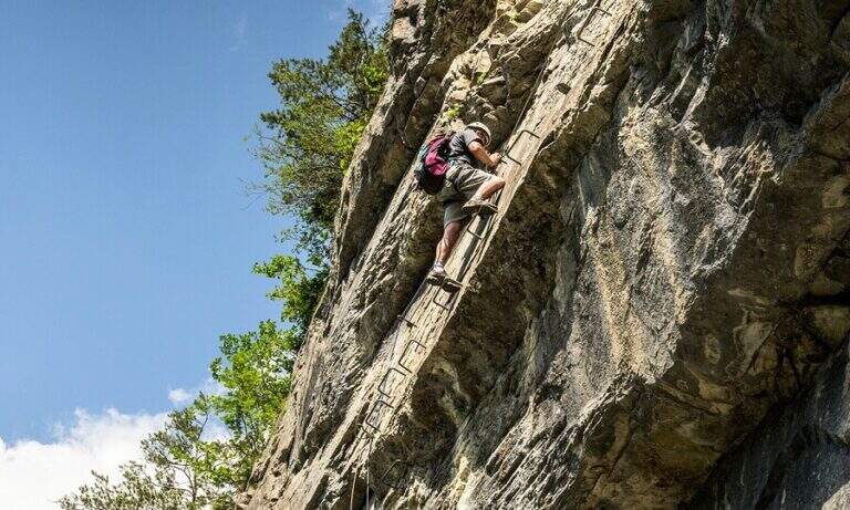
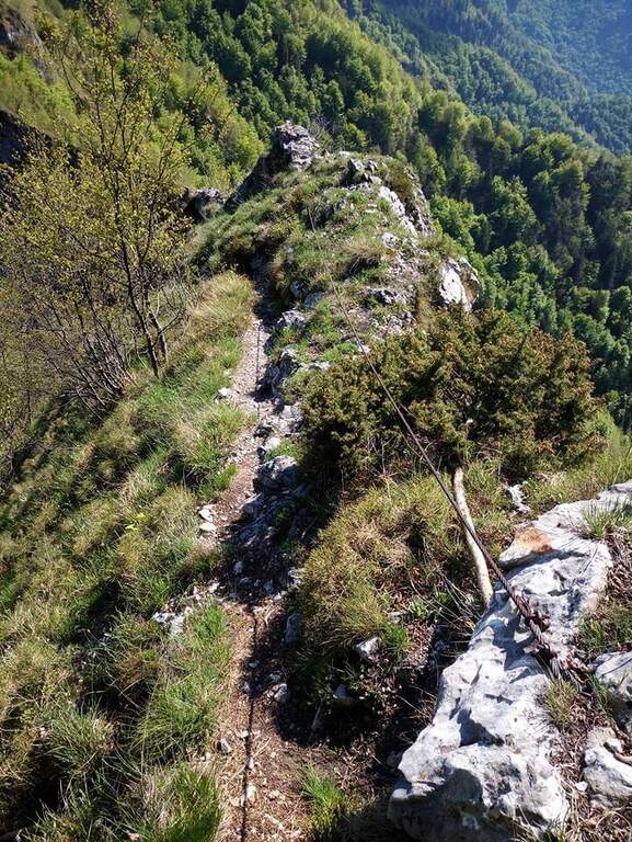
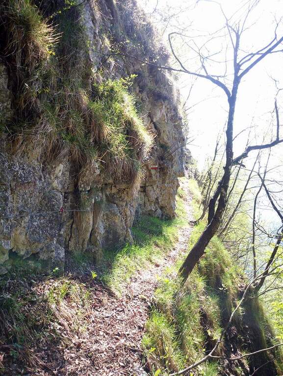
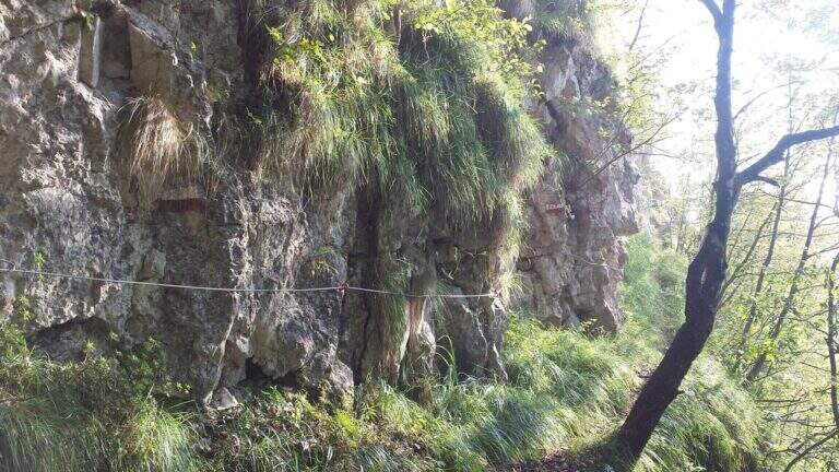
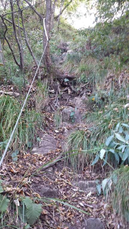
The first equipped stretch develops in the ridge, with the cable to the right: it descends along this stretch until an easy and wide equipped nod. Continue on the path south to the second stretch equipped, where you go up a very steep passage on slippery bottom, protected for safety. Beyond this point the equipment ends and with them the equipped part of the Heroes Path (30′ from the attack, 3h total).
Where protected, the itinerary does not have technical difficulties; the main difficulties are due to the numerous stretches of path on an insidious and unprotected background. It is also easy to lose the track: both approaching and returning there are points with fallen trees and traits invaded by tall orchards and herbs.
Low altitude (maximum 1207 m): the route is accessible in most of the hiking season, but the conditions of the bottom and the vegetation can make it tiresome. Care in orientation is the main security factor.
Continue on a slight descent until you cross the path 843, you keep the left and shortly after the left following the signpost 839 that leads to Schievenin. Once the paved road runs along the way, you find yourself downstream from the parking lot, then you go up the road to the starting point (2h from the end of the equipment, 5h overall).
To the south, towards Bassano del Grappa, there are two ferrates that go up to the sacred area of Grappa, the Ferrata Sass Brusai e la Ferrata Guzzella; for something more challenging, although short Ferrata Santa Felicità. To the north you reach the Lagorai with the Ferrata Gabrielli in Cima d’Asta, while towards the Dolomites Feltrine lies Ferrata at Monte Coppolo.
- DifficultyEasy
- RegionVeneto
- GroupDolomiti Feltrine – Val Schievenin
- Approach2:30 h
- Ferrata0:30 h
- Itinerary (a/r)5:00 h
- Hardware level difference100 m
- Route difference785 m
- Max1207 m
- Length9,1 Km
