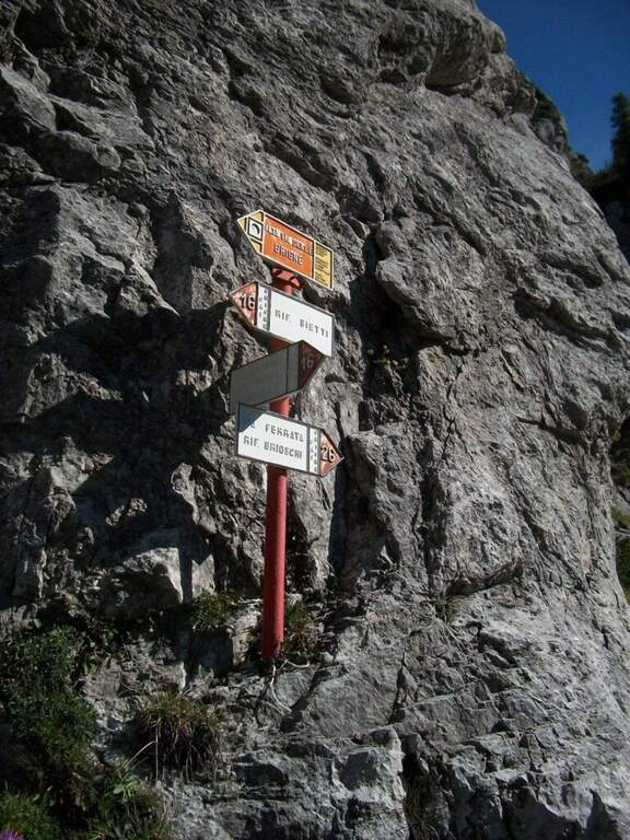
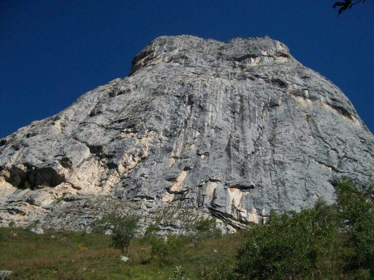
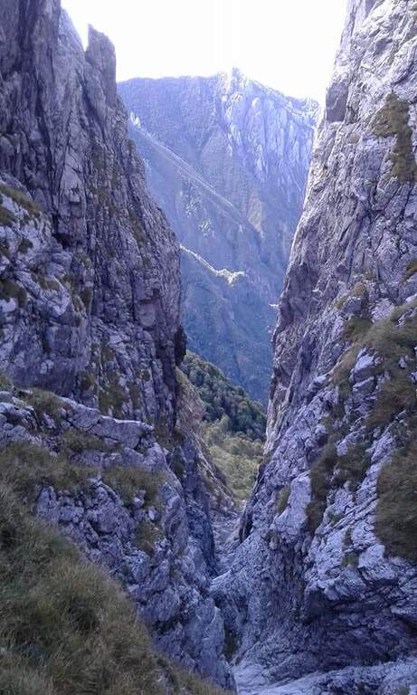
The Sentiero Attrezzato della Val Cassina dates back to a narrow and suggestive canyon between the Sasso dei Carbonari and Sasso Cavallo on the southern side of the North Grigna. It is a long route (6h 30 min, 1425 m of altitude difference) with metal equipment in the most challenging passages of the canalone, suitable for hikers in good physical form.
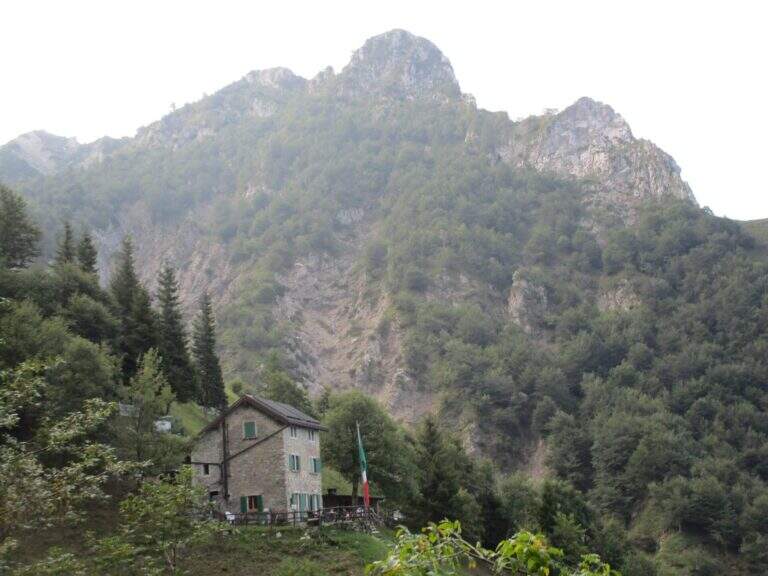
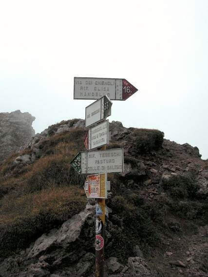
The departure is from the hamlet of Rongio in the municipality of Mandello del Lario (province of Lecco). From Mandello follow the roundabout, you pass under the railway bridge and walk up the road uphill to Rongio (about 400 m). From the parking lot follow the paved road that becomes dirt in the wood, then path that climbs with moderate slope in the direction of Val Cassina (about 3h until the beginning of the equipped sections).
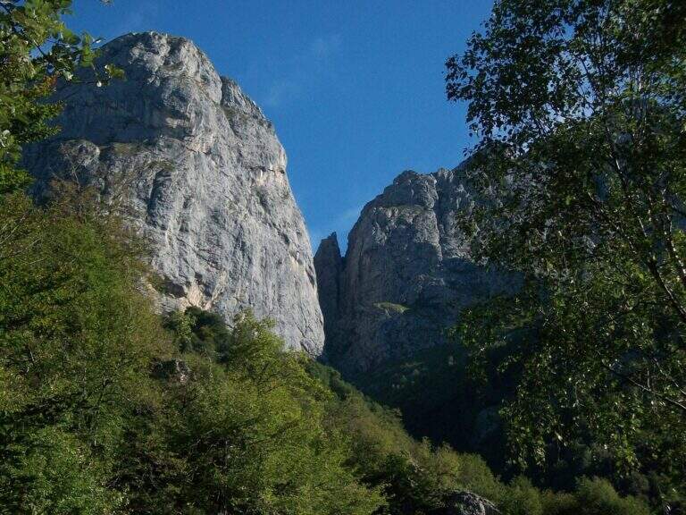
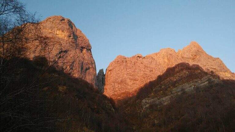
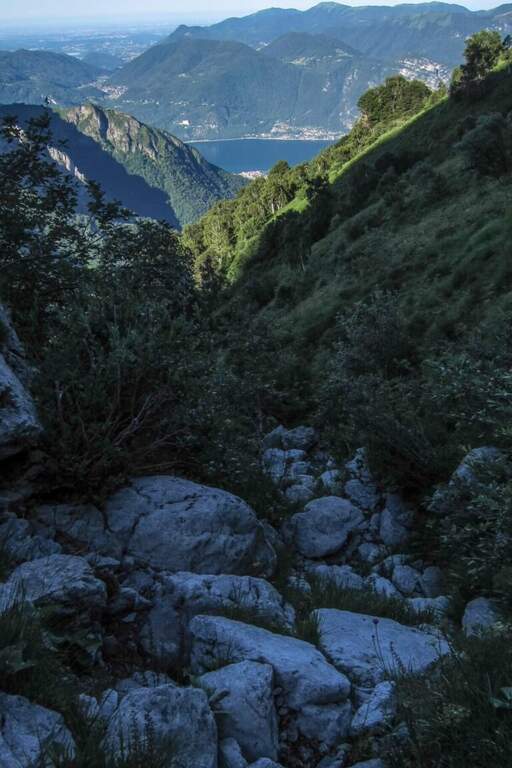
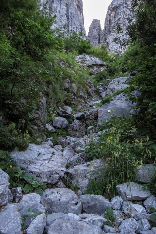
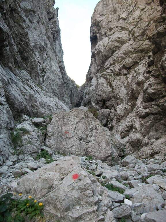
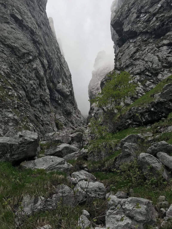
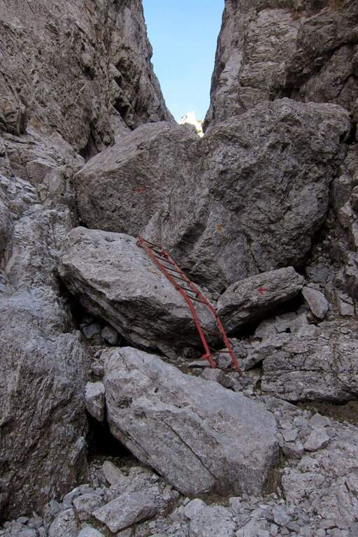
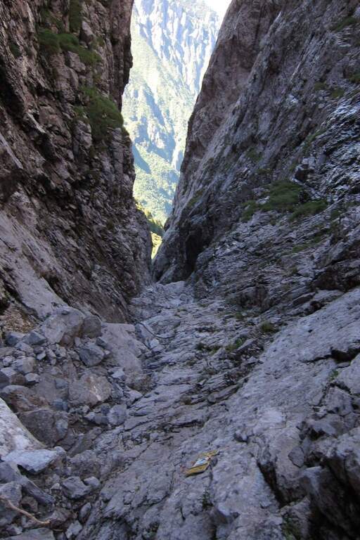
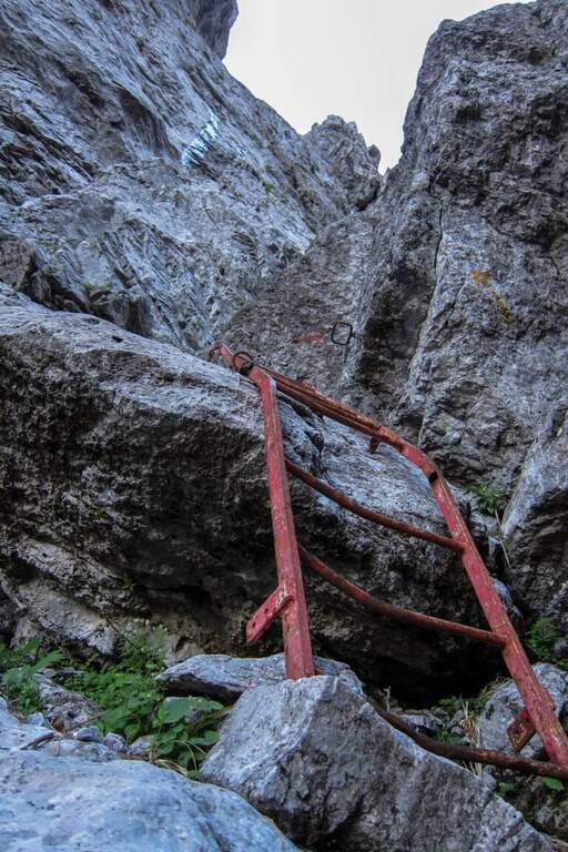
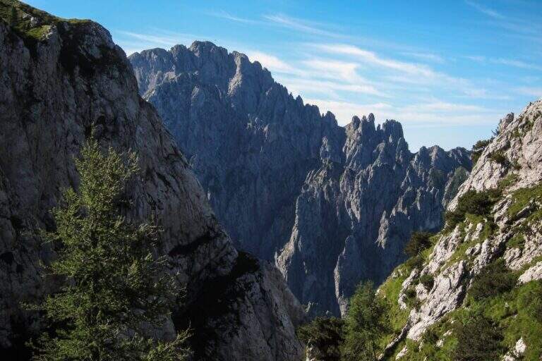
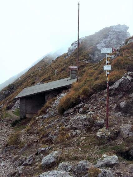
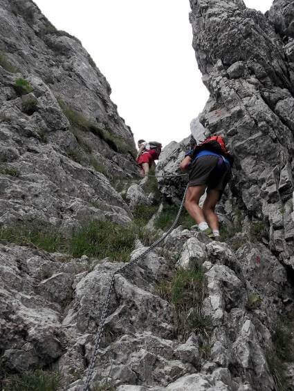
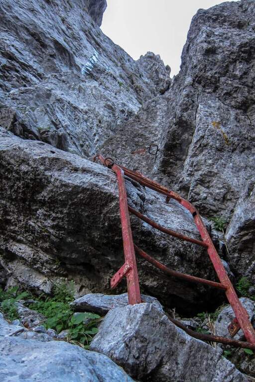
The Val Cassina is recessed between the wall of the Sasso dei Carbonari to the right (west) and the Sasso Cavallo to the left (east). In the most challenging stretches of the canalone are placed metal equipment — fixed steps and short reinforcements — which assist the overcoming of rocky and steeper ridges, sometimes with l’ help of hands and feet also in simple climbing. The canal ends at the Bocchetta della Val Cassina (1823 m, 45 min from the ’ start of the equipment), where the view opens on the meadows of the west side of the North Grigna.
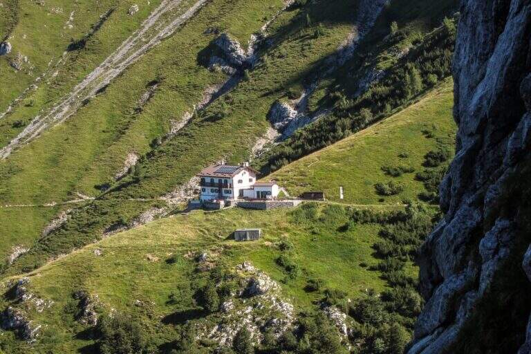
Easy path from a technical point of view, but long and challenging for the difference in altitude of about 1425 m. There are support points along the road: the Elisa Refuge and the Bietti Buzzi Refuge are within walking distance.
From May to October. The canalone can hold snow in depth until late June: check the conditions before leaving. Bring enough water for a long hike.
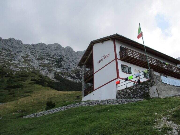
From Bocchetta della Val Cassina take a half-circle towards Rifugio Bietti Buzzi (1719 m), from which the sentiero 25 descends to Rongio for return to the car park (6h 30 min total). Alternatively, you can climb from Bietti Buzzi to the summit of the North Grigna or Monte Cavallo (signavia 16B, approx. 30 min extra).
- DifficultyEasy
- RegionLombardy
- GroupNorth Sea
- Approach3:00 h
- Ferrata0:45 h
- Itinerary (a/r)6:30 h
- Hardware level difference300 m
- Route difference1425 m
- Max1823 m
- Length6:30 h
