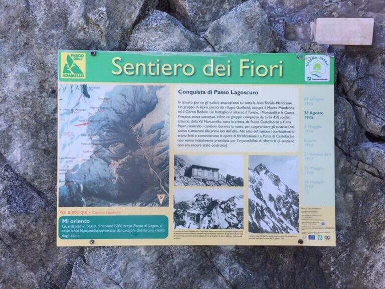
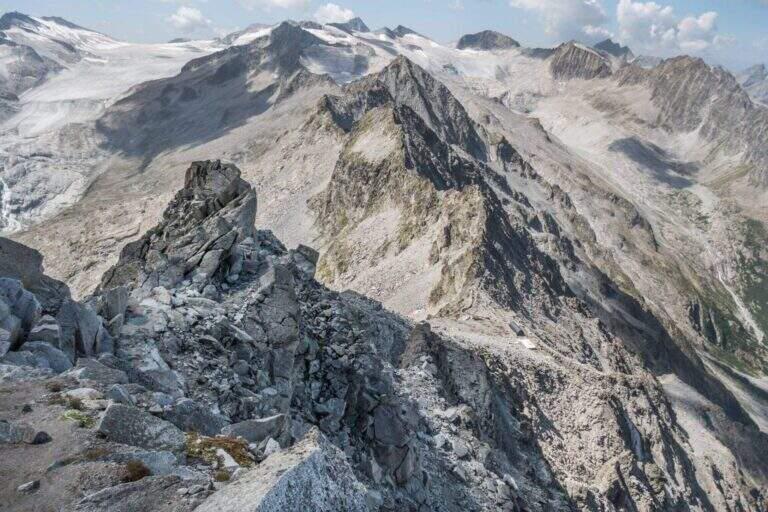
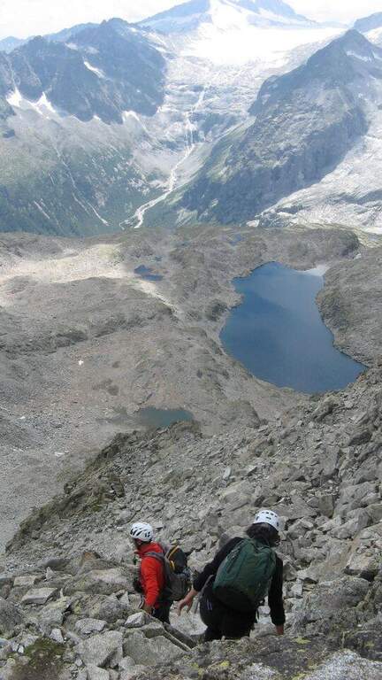
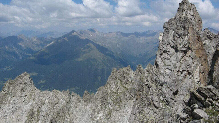
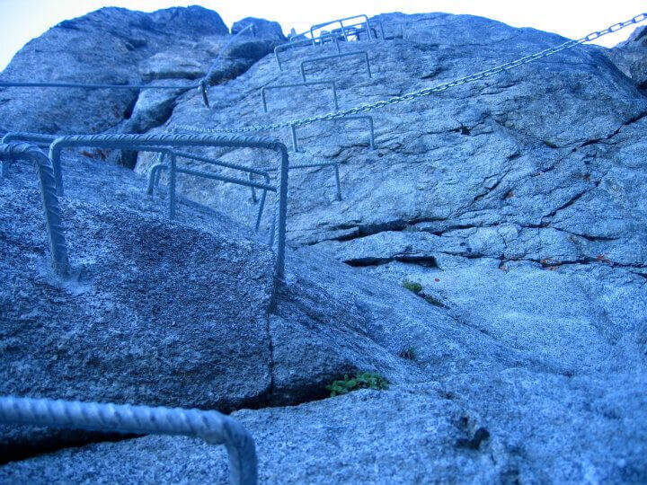
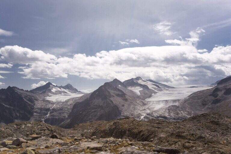
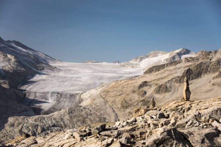
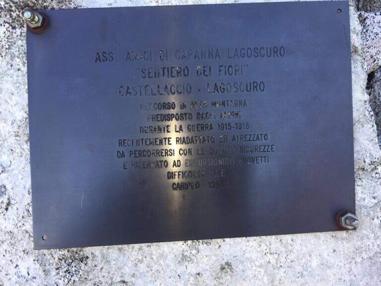
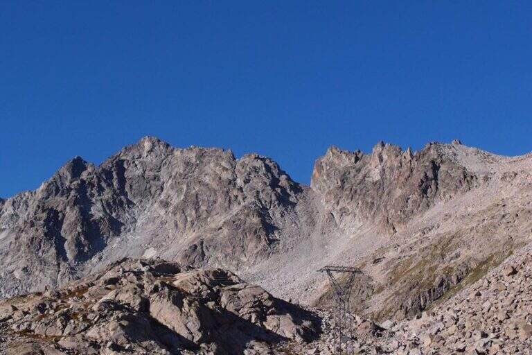
The Ferrata al Sentiero dei Fiori is a splendid itinerary of high altitude ridge, around 3000 meters, on the group of Adamello: an equipped route where necessary, prepared by the Italian soldiers who had the front here during the First World War, with magnificent views on the glaciers of Presena and Pisgana. Technical difficulty is in a modest complex, with few exceptions in the final stretches, but the high mountain environment and snow can raise the real commitment very much; we classify it Difficult.
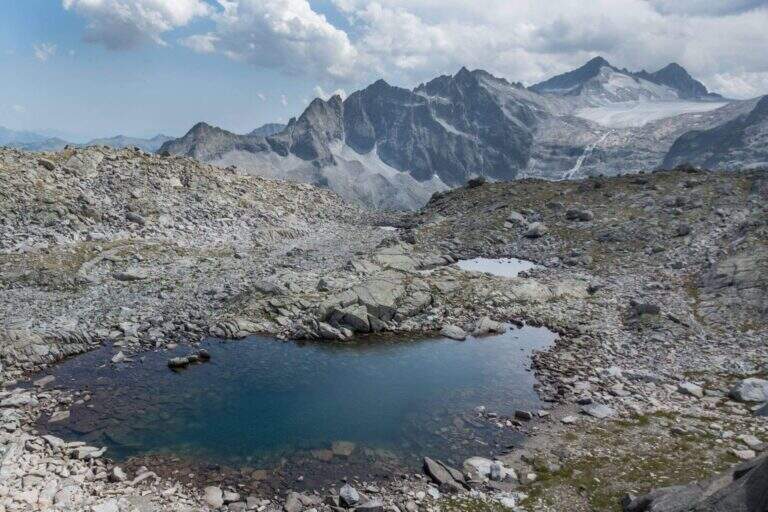
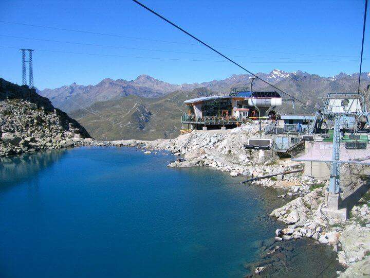
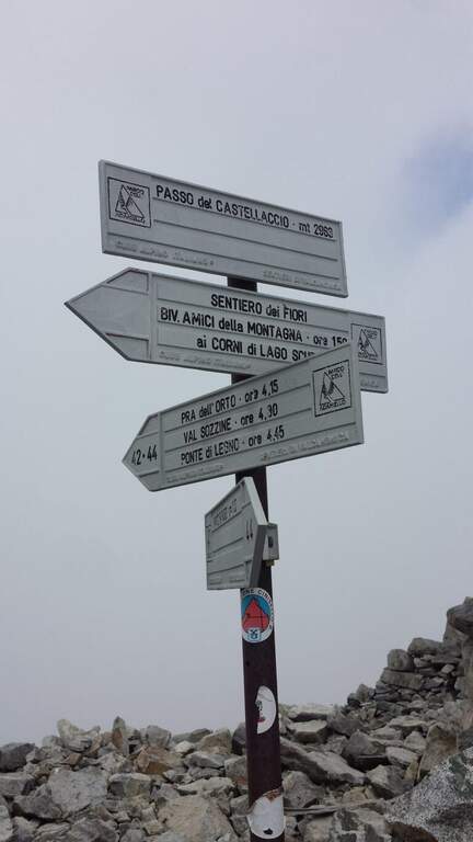
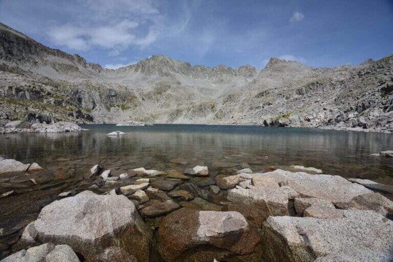
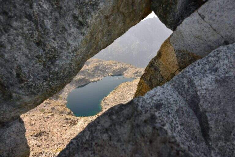
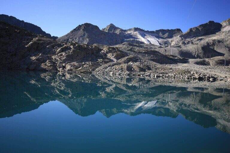
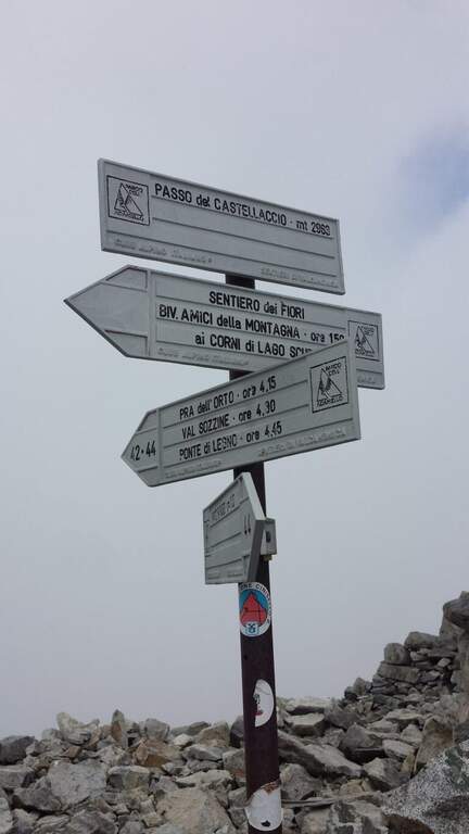
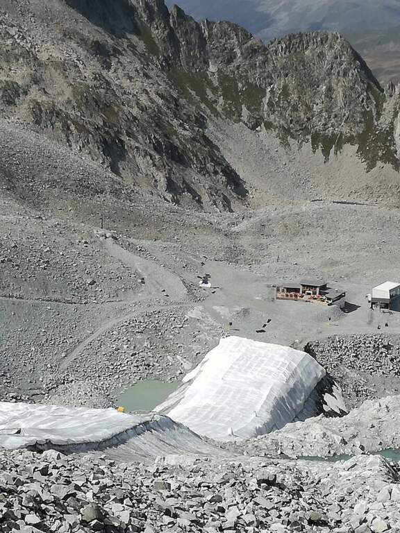
From Passo del Tonale, on the border between the provinces of Trento and Brescia, reachable from Bolzano (2h) or Brescia (2h30′) on the SS42 or from Valtellina with the SS39 (1h45′ from Sondrio); park at the cable car at Passo Paradiso, on the Lombard side of the pass (starting point on Google Maps). Go up the cable car at Passo Paradiso (2585 m); go down, wander the small lake following the CAI 44 uphill towards Passo del Castellaccio. At an unmarked crossroads, where some CAI signs depart to the left, you go straight towards the pass along a well marked path, on high mountain terrain with some rocky not difficult, up to the Passo del Castellaccio (2963 m, 1h15′ from the mountain station of the cable car). Here you wear the harness, you leave the CAI 44 that goes down the opposite side (Value of Narcanello) and you start the ferrata.
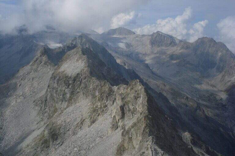
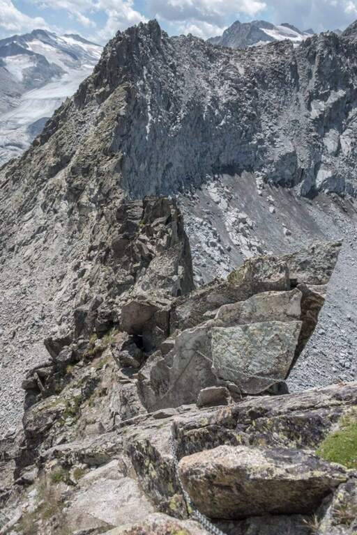
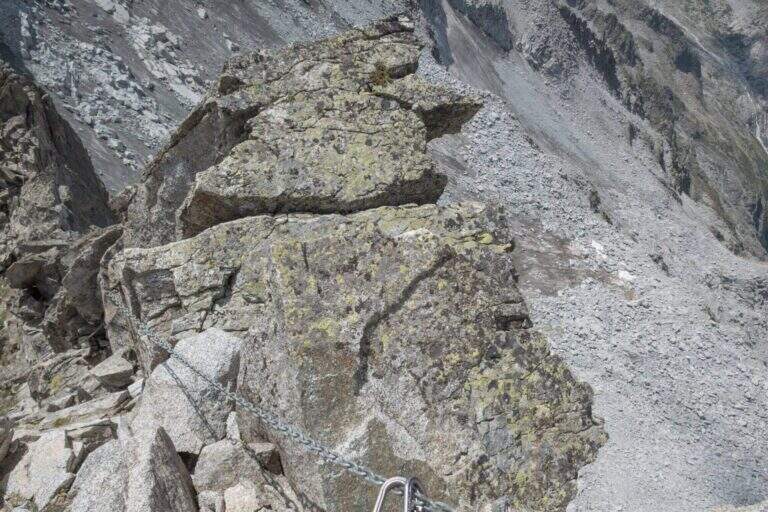
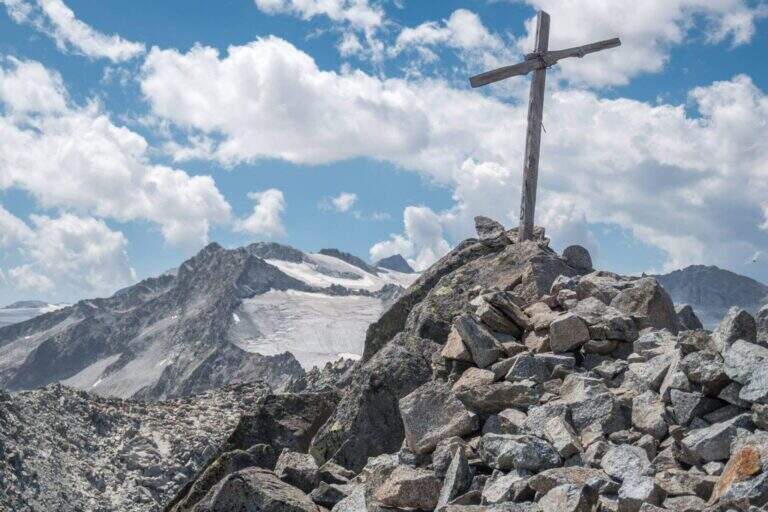
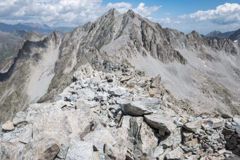
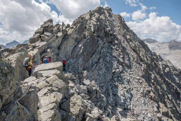
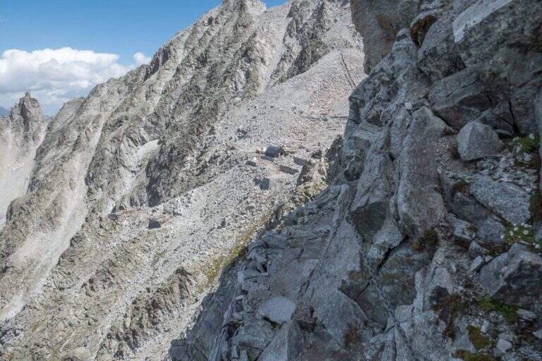
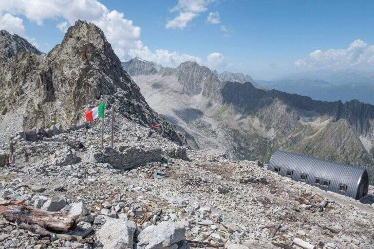
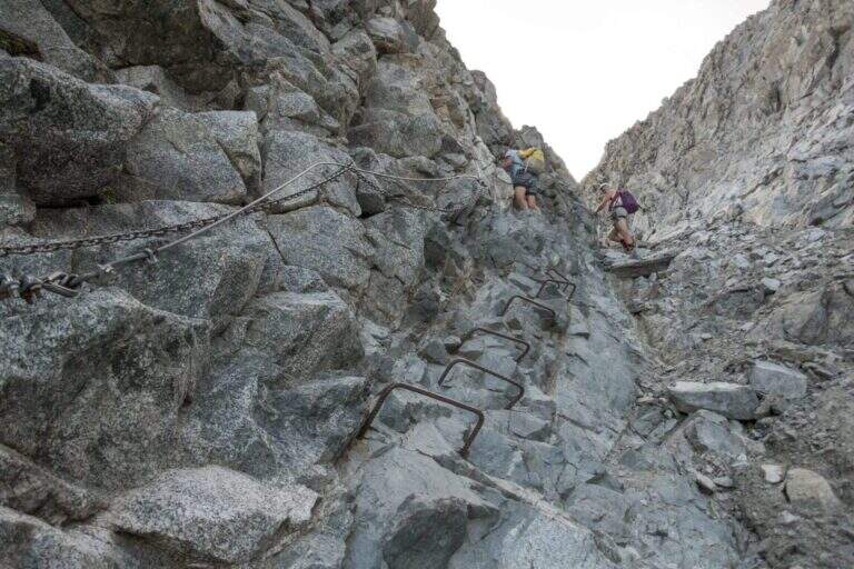
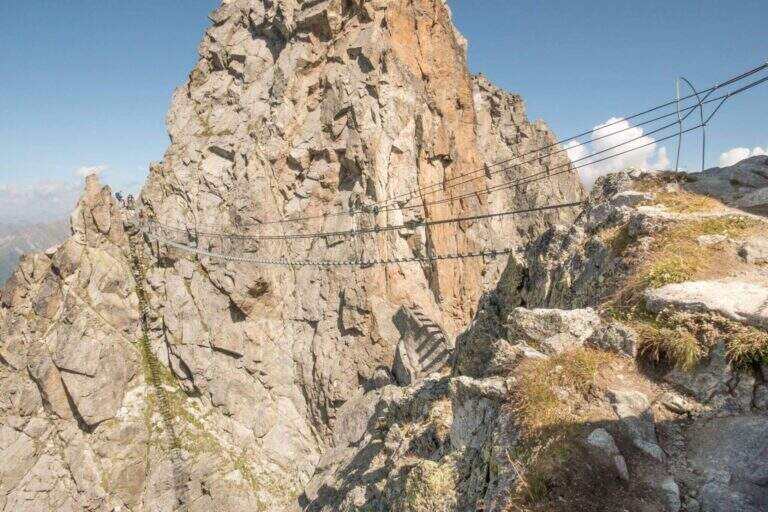
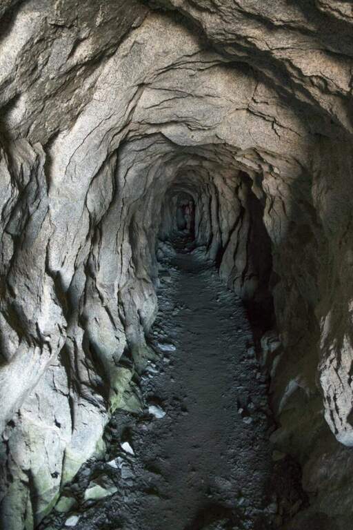
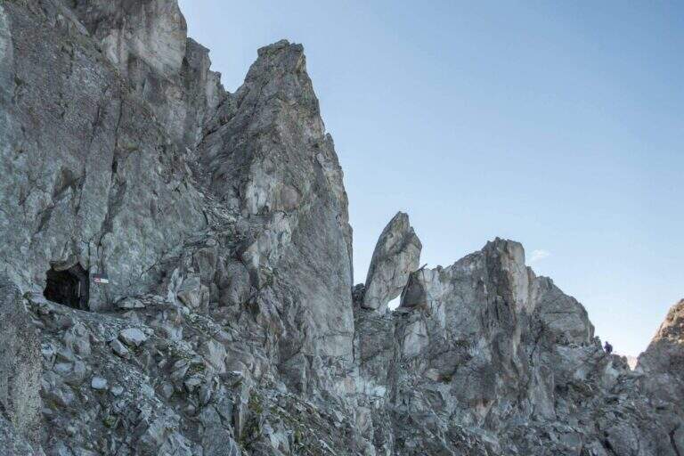
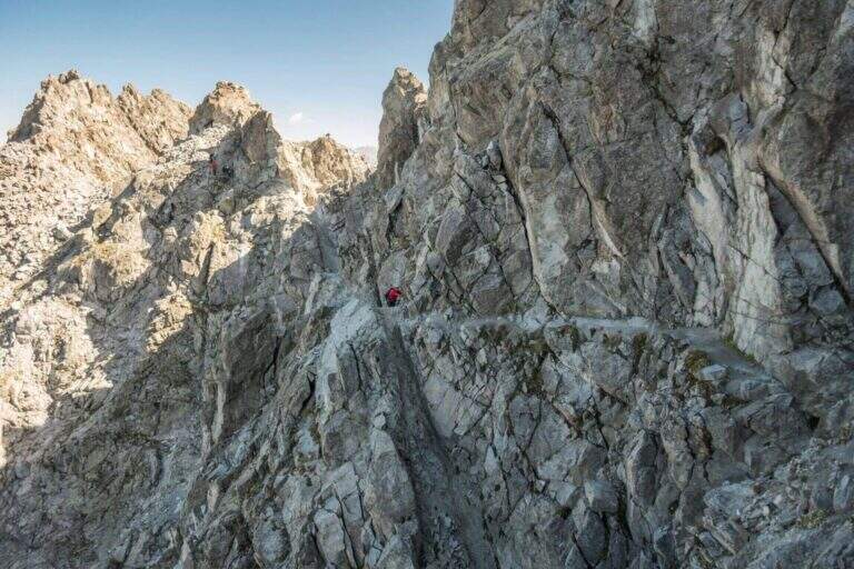
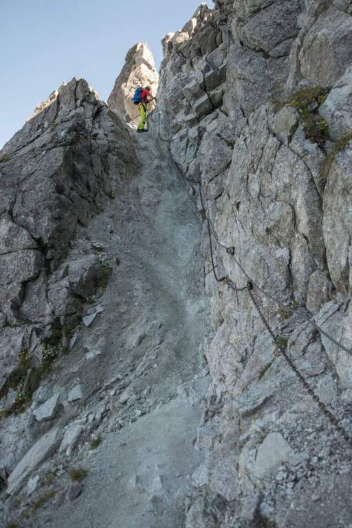
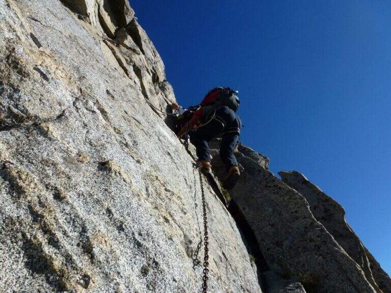
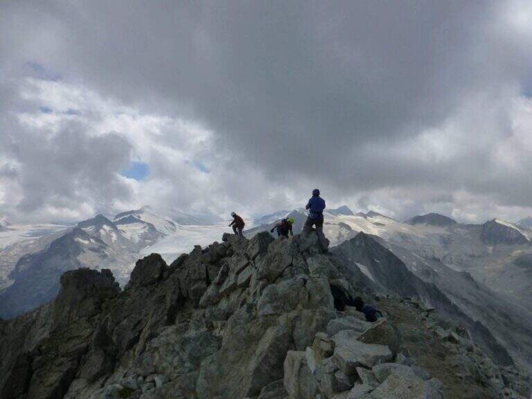
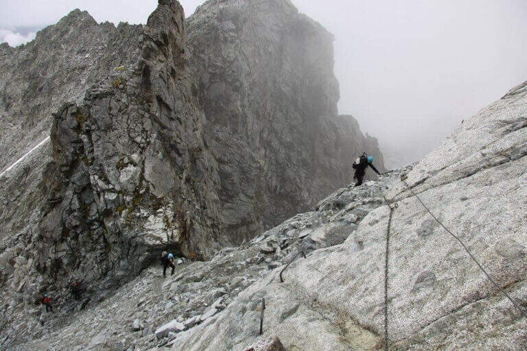
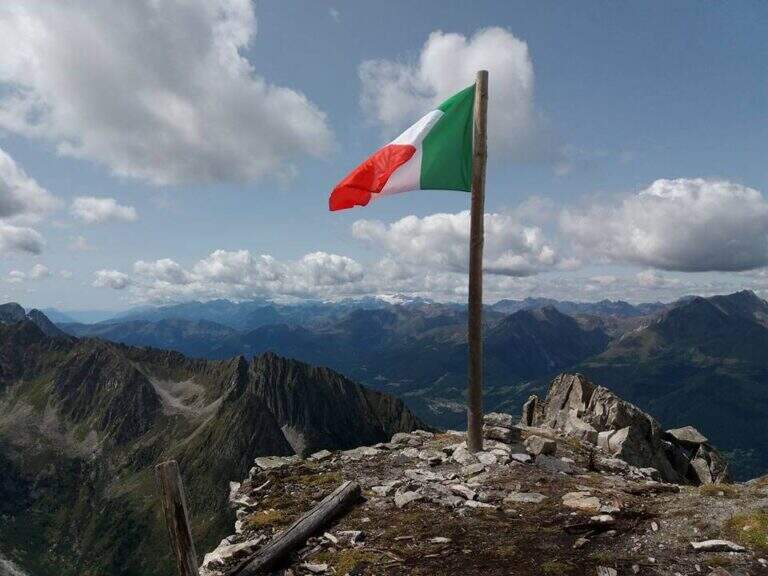
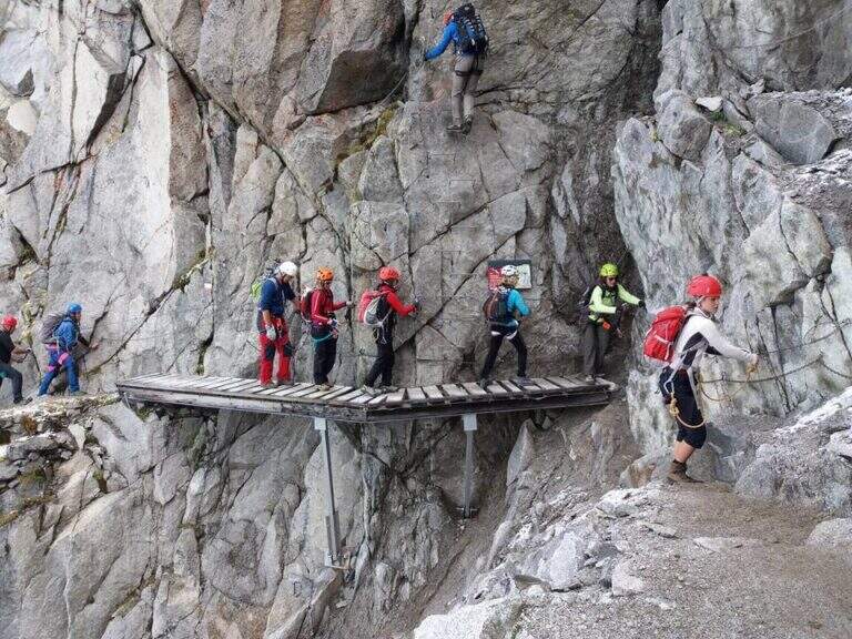
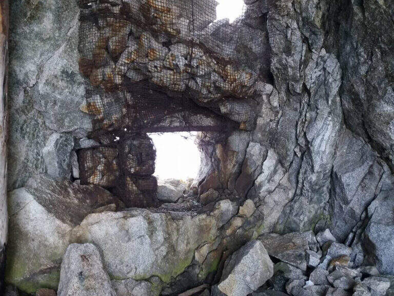
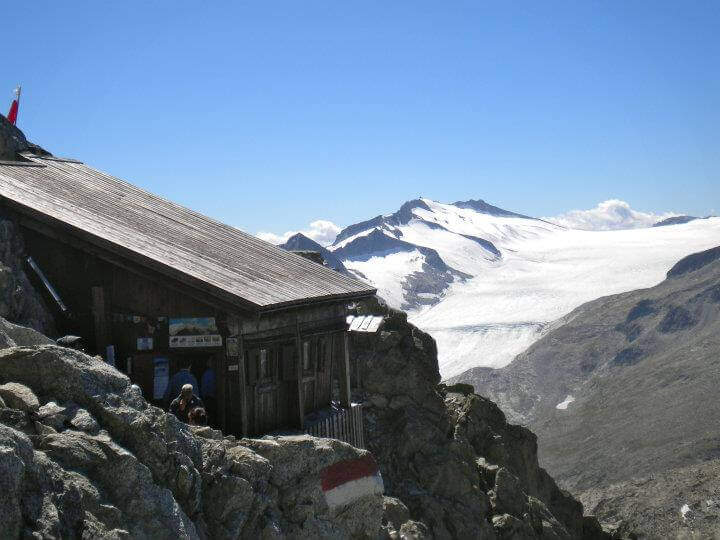
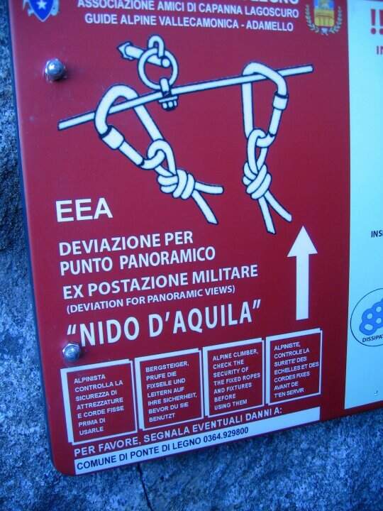
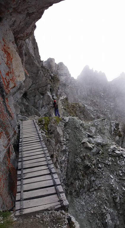
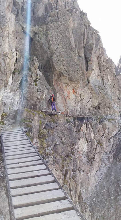
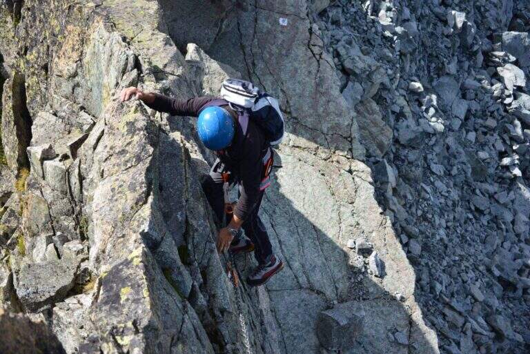
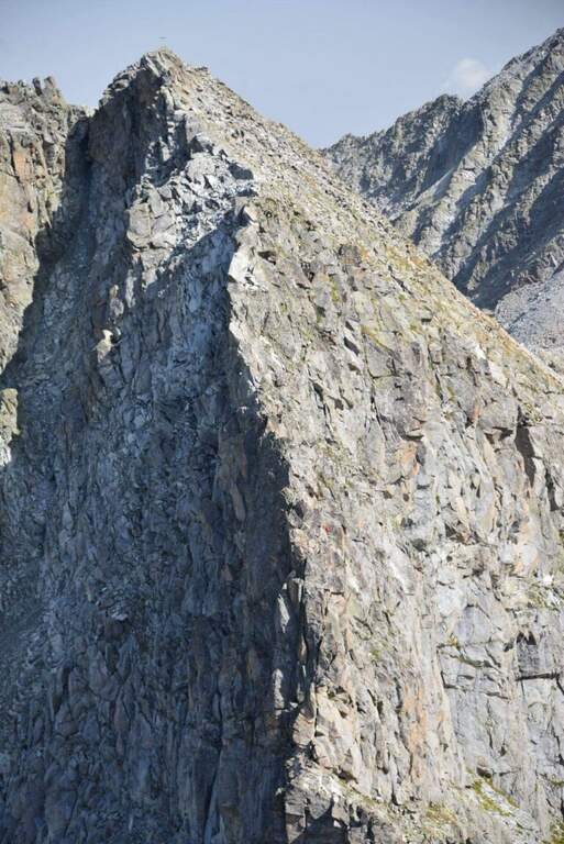
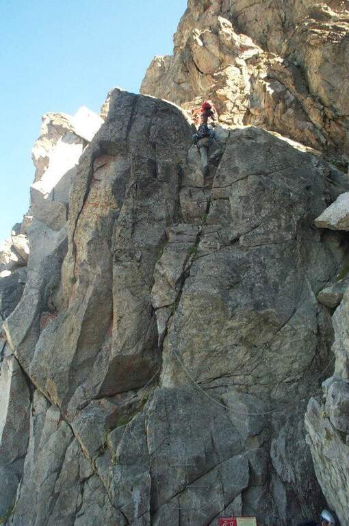
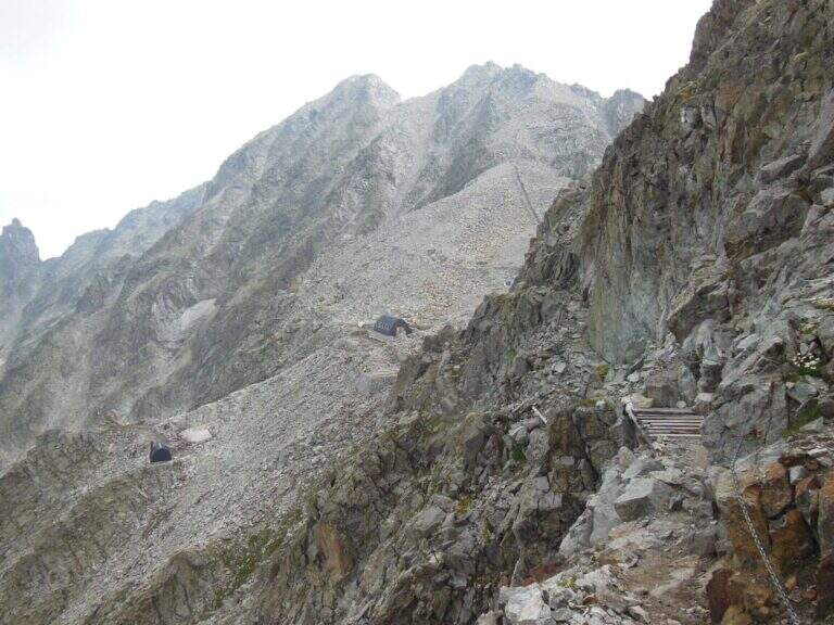
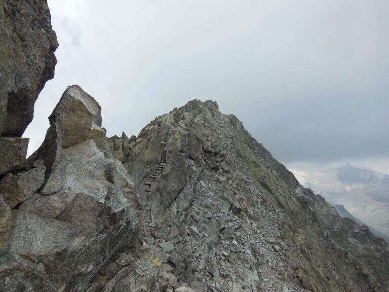
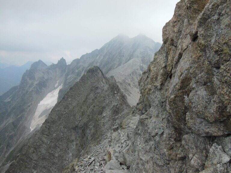
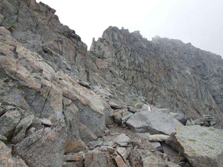
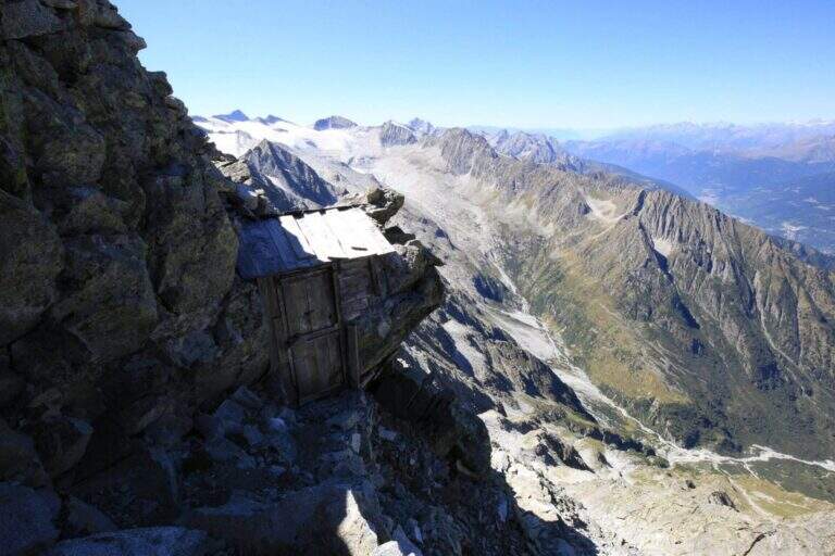
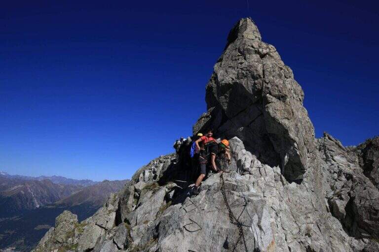
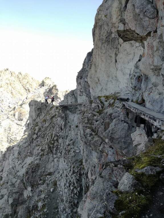
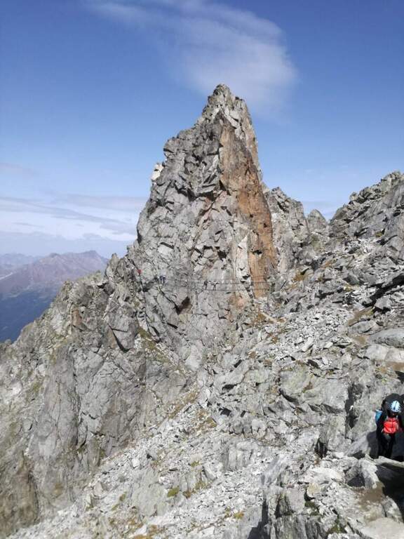
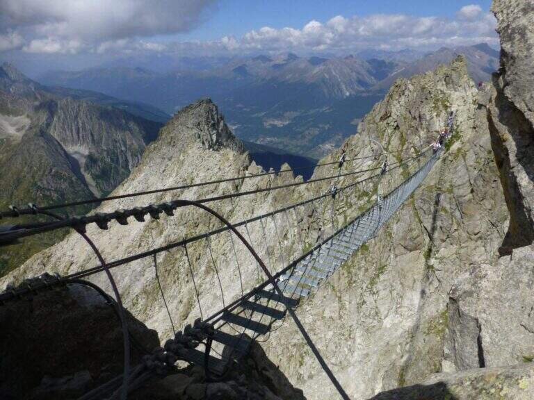
From the pass we proceed south following signs and abundant traces. The first equipped section is a long mention with a series of ups and downs, without particular difficulties, which leads to a series of wooden walkways. On one of these, on the left, a row of brackets rises to a panoramic tip: it is a recommended deviation (about 10 minutes) that leads to the so-called eagle's nest, built for military purpose in the Great War; then it is returned to the street. This is how you reach the most iconic point of the route, the Gendarme di Casamadre, approached and surpassed by two long suspension bridges, stable and well constructed, with a connection between one and the other; those who did not want to walk the bridges can use a tunnel carved during the war that avoids them. Beyond the gendarme, a nod wanders a edge and descends a few meters, without any difficulty for the experienced hiker. Then there is a stretch where snow can be snow even in late season: if the cable is hidden from the snow the ice equipment becomes necessary (spring, peak, rope to preserve). Continue on a relatively easy path, marked by the war interventions that moderated the difficulties, until you find the equipment at a wall and some rocks; then, overcome some rocks sometimes unstable, you reach the Bivacco Amici della Montagna, usually open and managed in summer (3160 m, 1h15′ from the attack, 2h30′ total). Continuing you lose altitude to a first escape route: on the left you descend to Capanna Presena (1h, with equipped strokes) to take the second trunk of the cable car. Continuing on the path you face a half-coast stretch between rocks and descend along a war trench until the Lagoscuro Pass (2970 m, 30′ from the bivouac, 3h total), where a wooden chapel rises. From here those who want to continue south towards Cima Payer, on cenges and rocky balconies on the western side of the ridge wire, without great difficulty, until the cross of Cima Payer (3056 m). In addition, towards Passo Payer (2978 m), the difficulty really increases (it's the stretch that deserves the Difficile ranking): jumps and backward plates, the thread is thinned and you walk exposed downhill. The last part of the Sentiero dei Fiori, from Passo Payer to Passo del Lago di Pisgana (2933 m), rises on small rocks alternating with lean granitic plates, difficult to climb but supported by the chain, and runs a ridge equipped to not underestimate up to Punta Pisgana (3088 m), before descending to Passo del Lago di Pisgana.
For most of the development the technical difficulties are modest: to make the difference are the quota, the exposure of some final traits and especially snowmaking. The stretch between Cima Payer and the Cima Lago Ghiacciato area is the most exposed and challenging and raises the overall commitment of the entire tour. In 2022 the path has been renewed after a maintenance period; signs have been installed that suggest to travel from the second station of the ovovia to the Passo Presena to the Passo del Castellaccio, that is in the opposite sense of this relationship: therefore, there are often hikers who proceed in the opposite direction and attention is needed to the crossings.
Useful season from late summer to early autumn, depending on snow. Complete hardware set (sharing, kit, helmet) and, when snow is present, ice equipment; high-altitude clothing and water and food supply for a long day. Organize the exit according to the hours of the cable car / cable car of Passo Paradiso and Passo Presena.
The Sentiero dei Fiori can be interrupted in several points, all returning to the Presena hut passing through the Maroccaro Pass. From the Lagoscuro Pass (approximately 2h from the beginning of the equipped stretch) you descend left towards the Scuro Lake, you go up to the Maroccaro Pass and go down to the snow of the Presena Glacier to the Presena hut (about 2h from the pass). From Passo Payer (1h from the Pass of Lagoscuro) you descend towards the Rifugio Citta’ di Trento al Mandrone and, just before the refuge, take the CAI 209 to the Passo di Maroccaro and then to the Capanna Presena (about 2h30′ from Passo Payer). From the Passo del Lago di Pisgana you descend left to the Rifugio Citta’ di Trento al Mandrone and then go up to the Passo di Maroccaro to get off at the Capanna Presena (about 3h15′ from the pass). From the Capanna Presena you return to the valley with the cable car. The entire round takes about 9h30′.
On the north side of Passo del Tonale there is the Alpine Path at Punta d’Albiolo. The Adamello group offers many equipped routes, including Ferrata Terzulli all’Adamello, the very difficult Ferrata al Corno del Grevo, Ferrata al Pizzo Badile Camuno and, on the Trentino side, the Ferrata Monte Nero alla Presanella.
- Approach1:15 h
- Duration5:00 h
- Total itinerary9:30 h
- Hardware level difference150 m
- Route difference490 m
- Maximum altitude3088 m
- Length15 Km
