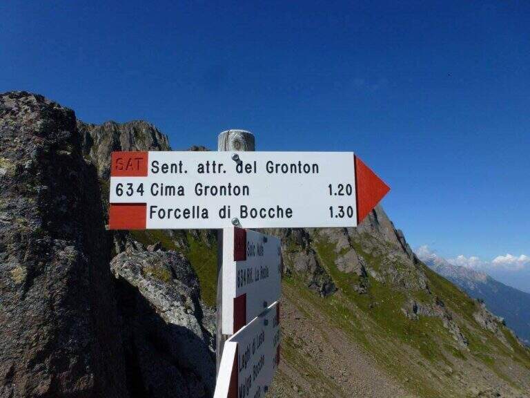
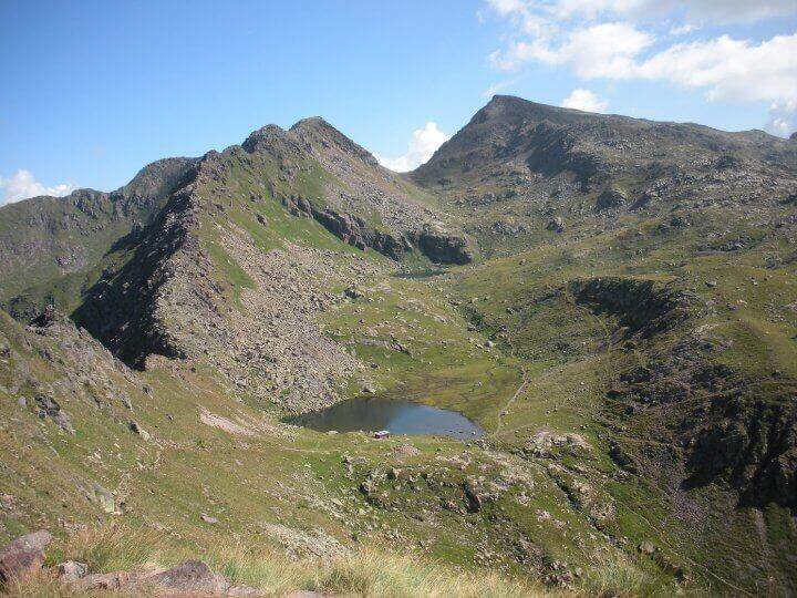
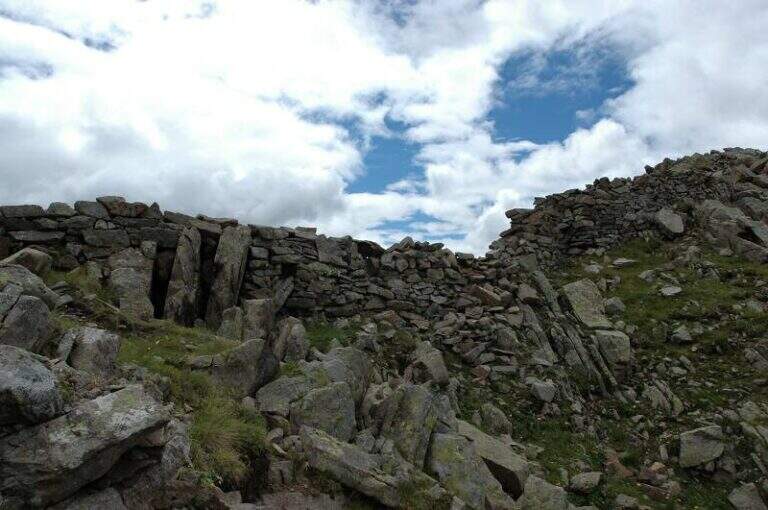
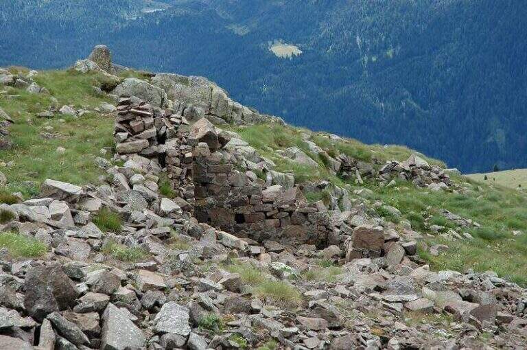
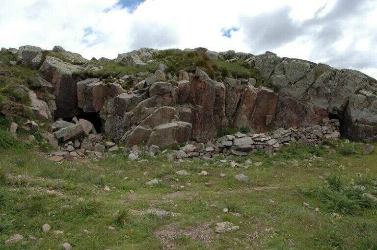
The Gronton Path is a high-rise path that has no particular technical difficulties, but whose exhibition, constant throughout the itinerary, requires a certain mountain experience. Starting from the Lusia Pass, he climbs to Cima Bocche and descends to the Lakes of Lusia, winding on an Austrian defense line of the Great War.
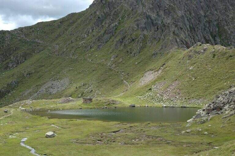
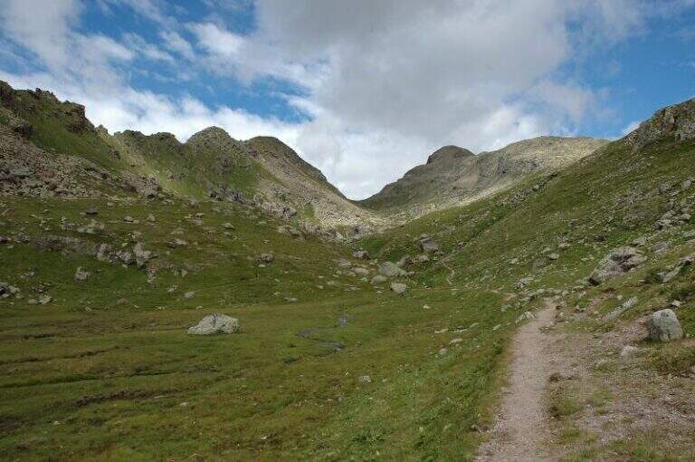
The starting point is the Lusia Pass, which can be reached via a dirt road that is detached from the San Pellegrino Pass state near Moena (TN). From Moena we proceed towards Passo San Pellegrino for a few kilometers up to the ski lifts Lusia, usable to reach the refuge; those who go up by car take the dirt road that goes right after the passage under the slopes and walks it for a few kilometers up to the refuge (open up Google Maps). From the Rifugio al Passo Lusia (2055 m) we proceed south on the CAI 633 towards Cima Bocche, going up the meadows with a modest slope to the Sella Lusia (2360 m), from which you have an ideal view on the whole lap: on the left the ridge of Gronton, straight ahead Cima Bocche and down the lakes, along which you will return. From the saddle you descend to the Redolf Bivacco (2335 m), where at a crossroads you leave 633 (which will be the return path) and the CAI 634 is held left for the equipped Gronton, which begins at Forcella Cajerin (2365 m, 1h30 from the Lusia Refuge).
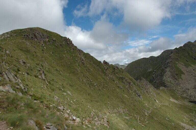
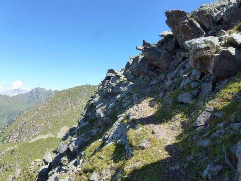
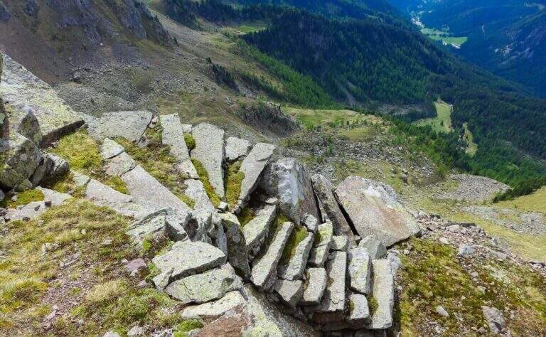
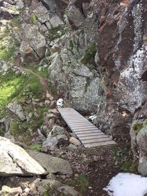
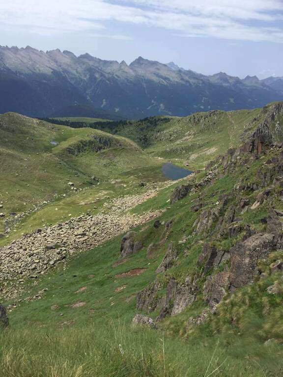
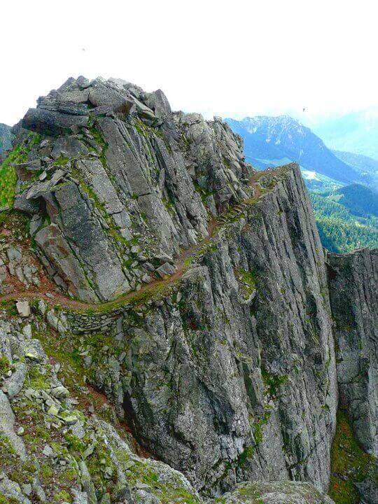
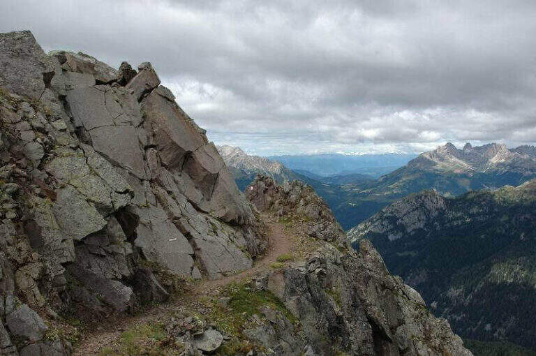
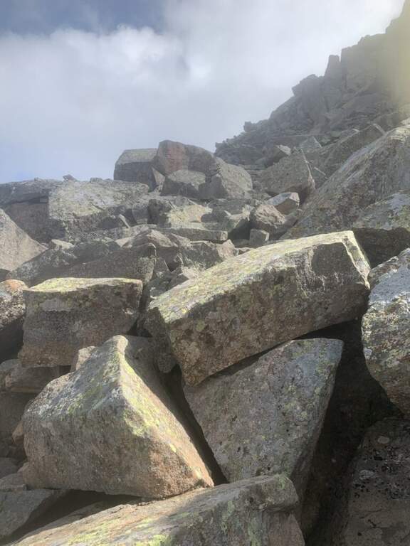
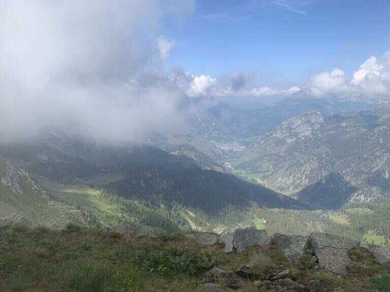
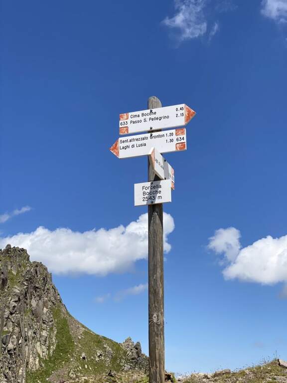
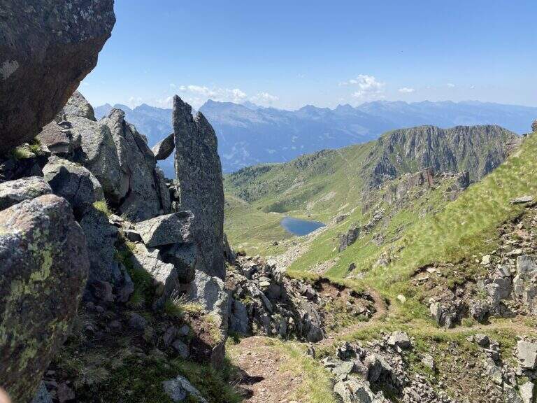
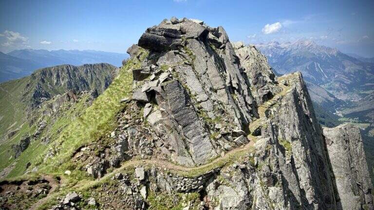
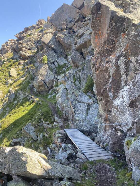
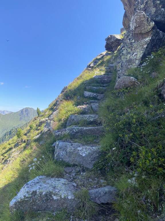
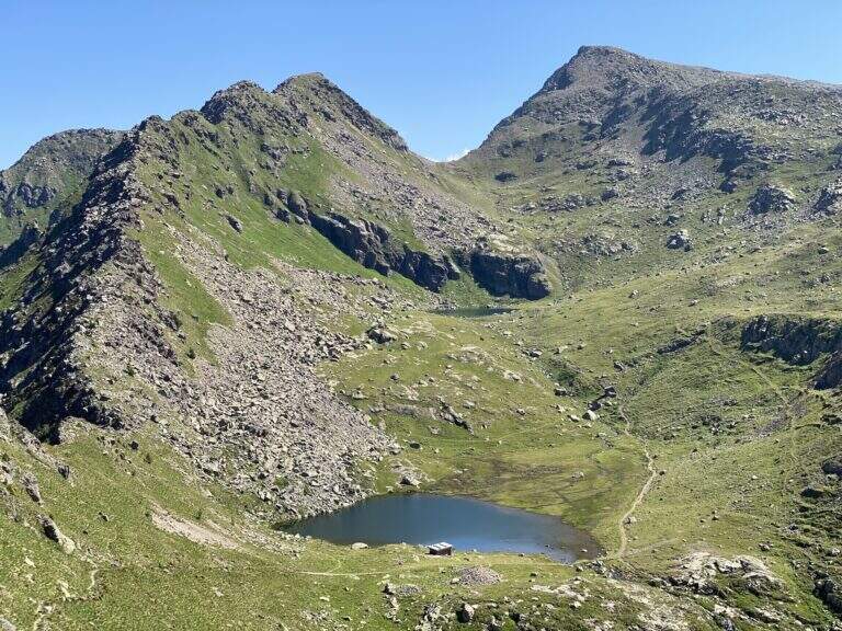
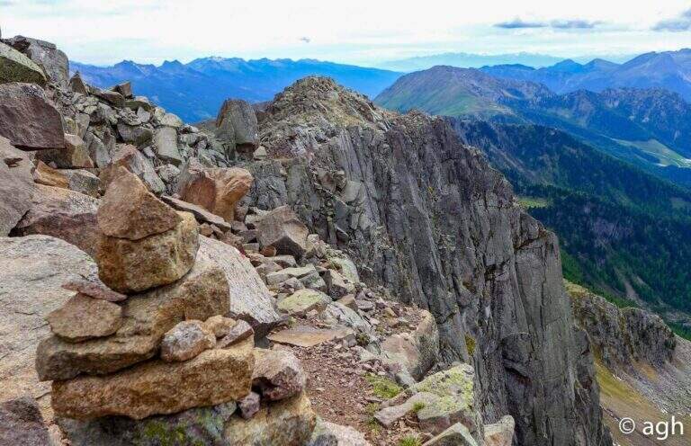
From Forcella Cajerin, the equipped path generally develops under the ridge, except in the concluding section, and is protected at the most exposed points. Shortly after the beginning there is a nod exposed with the rope to the right, besides which there are passages on large blocks of rock alternating at certain levels, residues of the military activities of a century ago. A new nod is reached with a harmless bridge suspended by ropes, which leads to a clearly visible fork; overcoming the fork, you lose slightly altitude along an exposed and equipped nod. The ascent, not particularly steep, leads to the ridge, from which you can see the path just made and the underlying Lakes of Lusia; then you go along the most scenic section, an exposed hint that wanders a rocky spur, and a last stretch of crest up to a crossroads: to the right you descend towards the Forcella delle Bocche, to the left you climb to Cima Gronton (1h round and back, with other beautiful remains). The excursion continues to the Forcella delle Bocche (2543 m, 1h from the attack, 2h30 totals); just before, on the left, a crossroad allows you to climb to Cima Bocche (2745 m, 1h return, recommended climb, 3h30 total).
There is no technical difficulties or vertical climbing situations; is a pleasant excursion, interesting from the historical and landscape point of view and less beat than many other of the nearby valleys. The only true note of commitment is the exhibition, present along the whole route and not indifferent.
High mountain summer itinerary (max. 2622 m). The environment around the Lakes of Lusia is very characteristic; more than the technique, it is the exposure to demand attention.
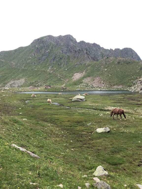
From the Forcella delle Bocche you return along the path 633, which descends into the valley of the Lakes of Lusia — it is not uncommon to meet horses in the brado state — to the Forcella Lusia and then to the Rifugio al Passo Lusia (2h from Forcella Bocche; 4h30 total without the ascent to Cima Bocche, 5h30 with the ascent).
On the opposite side of the valley leading to Passo San Pellegrino there are two more challenging routes: theAlta Via Bepi Zac e l’Alta Via Bruno Federspiel.
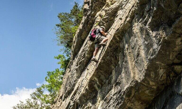
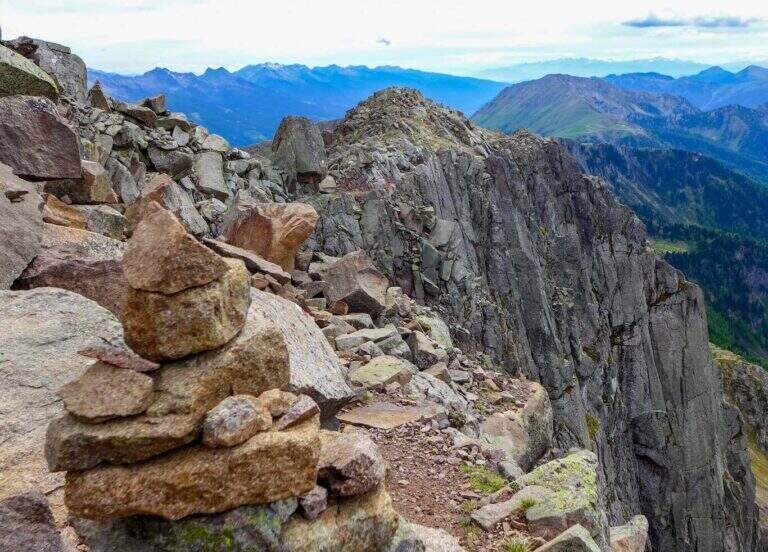
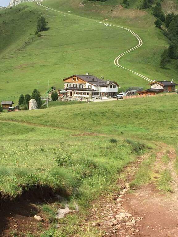
- DifficultyEasy
- RegionTrentino-Alto Adige
- GroupLagorai – Chain of Bocche
- Approach1:30 h
- Ferrata1:00 h
- Itinerary (a/r)4:30 h
- Hardware level difference256 m
- Route difference567 m
- Max2622 m
- Length13,4 Km
