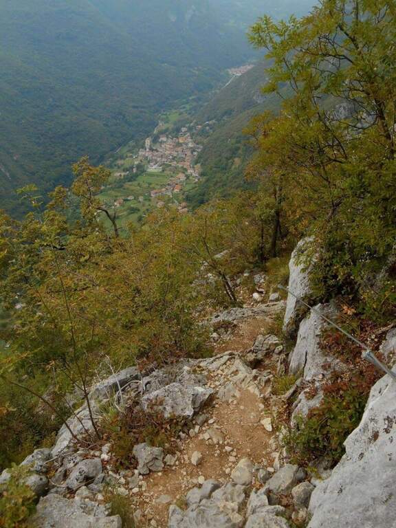
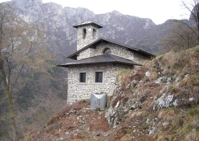
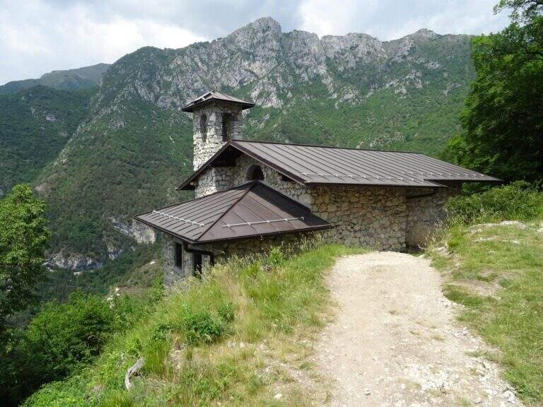
The Sentiero Attrezzato delle Laste is the most direct way to climb from Biacesa to Bivacco Arcioni and the Church of San Giovanni, under Cima Capi and Cima Rocca. Short path, without marked exposure, suitable for those who move the first steps on the paths equipped in a lake context of great charm.
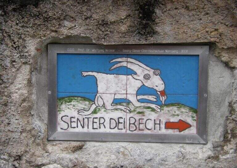
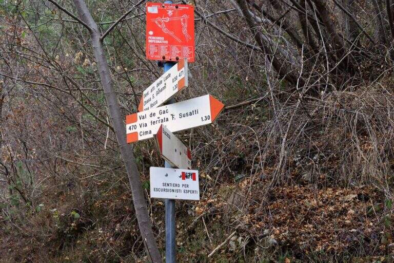
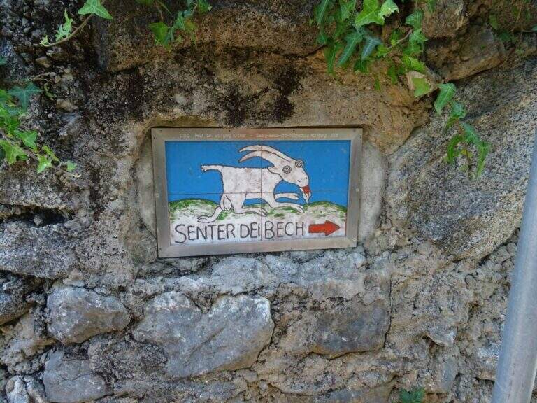
You reach Biacesa, 4 Km from Riva del Garda along the tunnels towards Val di Ledro (directions road map). By taking Via dei Dazi and turning right you will reach a playground with large parking. Follow the CAI 470 trail (Sentiero dei Bech) east towards Cima Capi for about 15 minutes until the junction where the CAI 471 climbs left: it is the attack of the Laste Path.
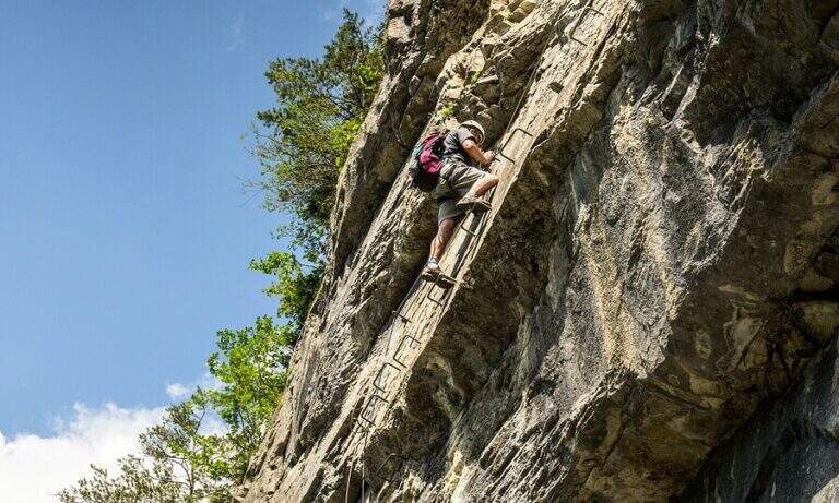
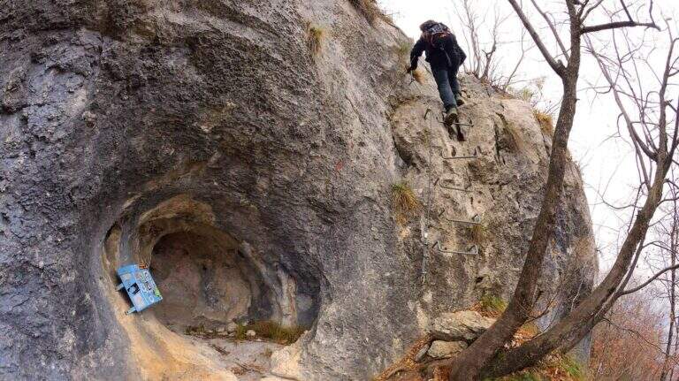
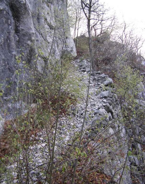
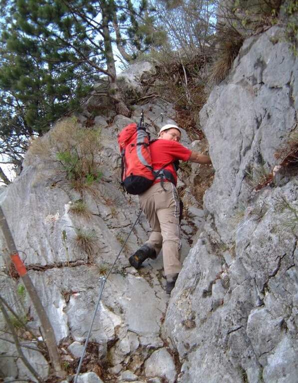
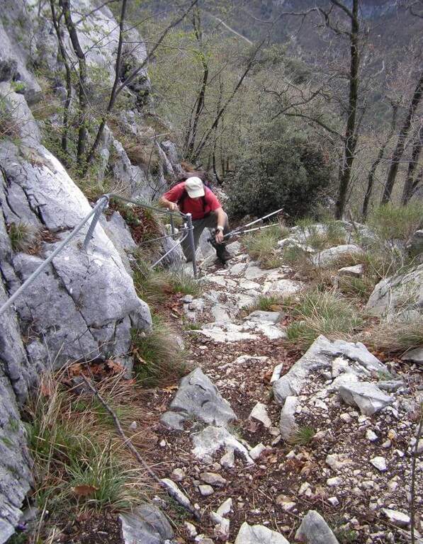
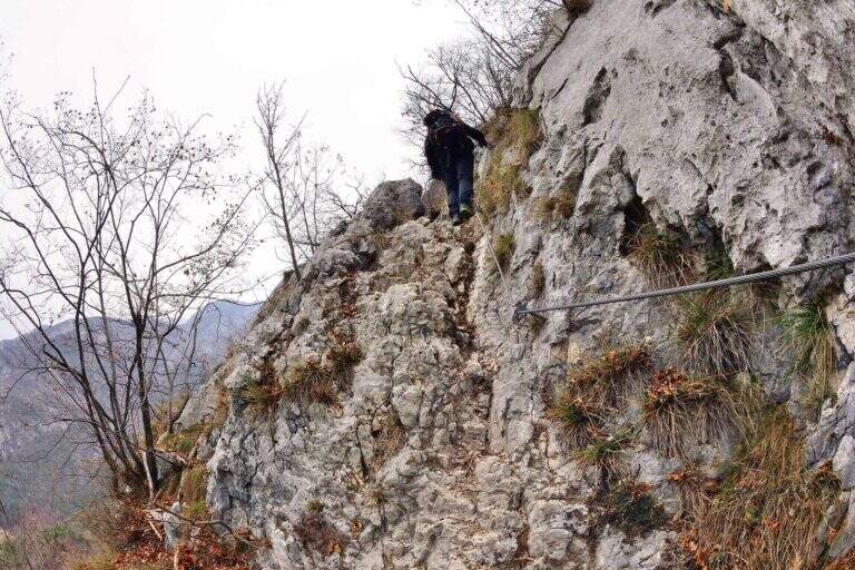
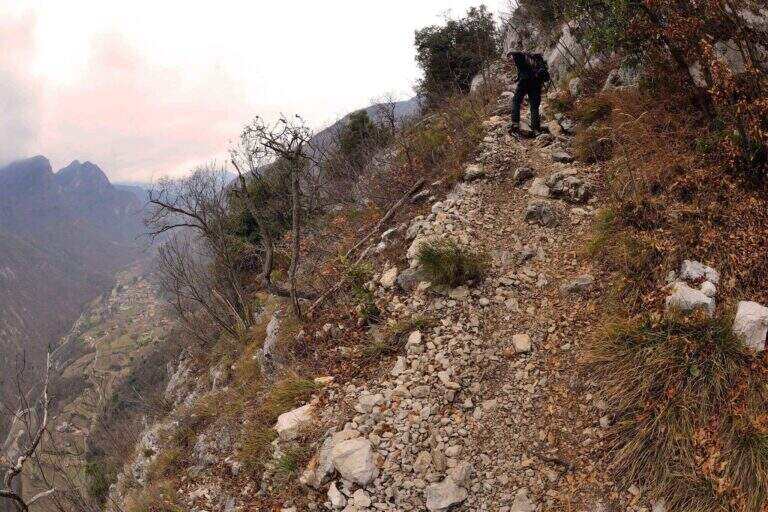
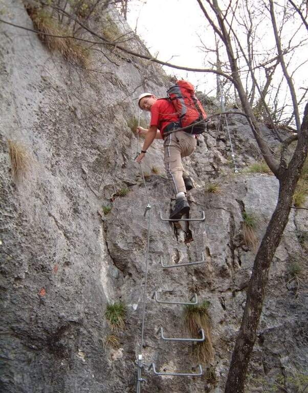
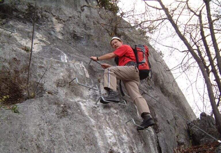
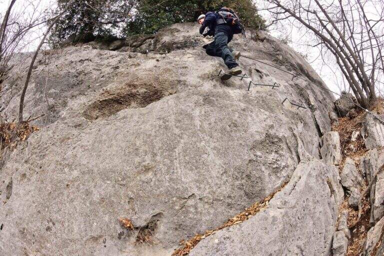
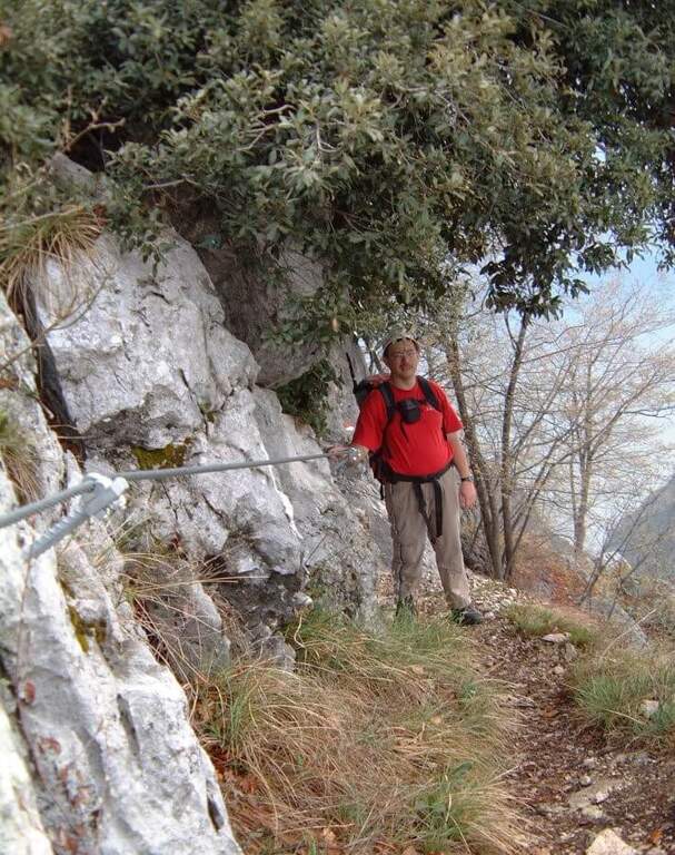
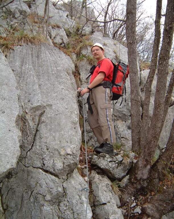
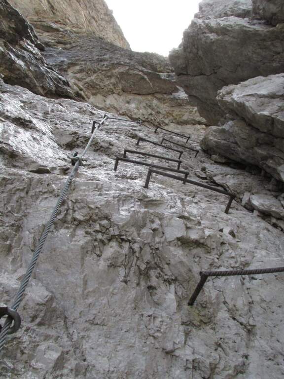
The first obstacle is a dihedron of 6 meters with cable on the left side and good natural sticks on the right. They follow a grassy census in the woods and a well-groomed diagonal ramp. You get to a gallery with book of signatures — great stop point. Starting up a wall with large metal cambres, then a second section similar diagonally exhausts the equipment. The path continues on the most open ground to Bivacco Arcioni (45' from the attack), then to the Church of San Giovanni.
Classified Easy: the equipped sections do not exceed the second degree and do not display. Complexity: technique 1/5, physics 2/5, exposure 1/5, environment 2/5. Suitable for children already accustomed to the use of helmet and harness with adult supervision.
It can be traveled almost throughout the year thanks to the modest share. In case of rain the initial dihedron can be slippery.
From the Church of San Giovanni take the CAI 460 path west to the crossing with CAI 417, then left towards Biacesa (45' — 1h 45' total including the ascent).
In the same area of Garda: the Hiking trail Mora Pellegrini.
- DifficultyEasy
- RegionTrentino-Alto Adige
- GroupMonte Baldo and Garda
- Approach0:15 h
- Ferrata0:45 h
- Itinerary (a/r)1:45 h
- Hardware level difference231 m
- Route difference440 m
- Max858 m
- Length4 Km
