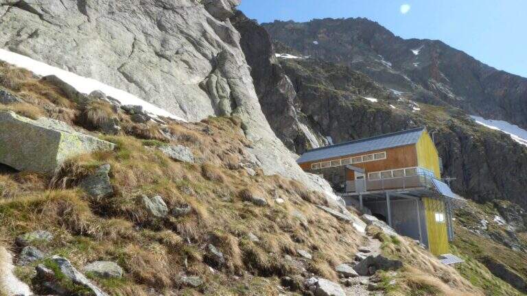
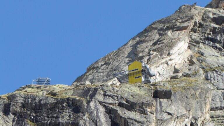
Itinerary of high mountain in Val Ferret which leads to the Dalmazzi refuge in the Triolet Glacier basin (White Mountain). Technically not difficult, the severe alpine context with snow, blackberry and risk falling stones requires high mountain experience. Equipped path currently dismantled.
The starting point is the hamlet of Arnouva, last resort of Val Ferret in the town of Courmayeur (AO). You park in the square in front of the restaurant-camp and follow the dirt road (mark 23 then 32) for about 1 km towards the Elena Refuge. At a right corner there is the crossroads on the left for the Dalmazzi Refuge. You go up the valley bottom ignoring the Bivacco Comine (sentiero 22), you cross 4 streams triluent of the Dora di Ferret and you reach the Moor of the Triolet Glacier. Following the yellow boils, follow the stone, the north side of the valley, a stretch in light descent towards the glacial valley and then again uphill to the ridge, where a snowman precedes the last stretch (2h from the parking lot).
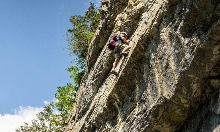
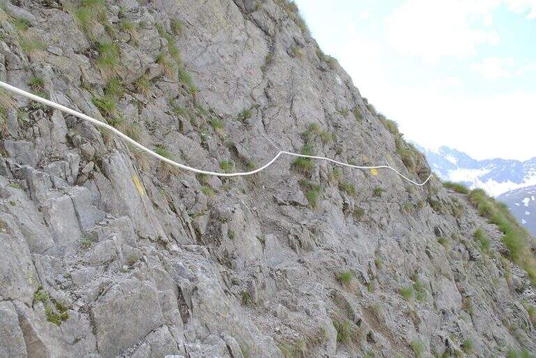
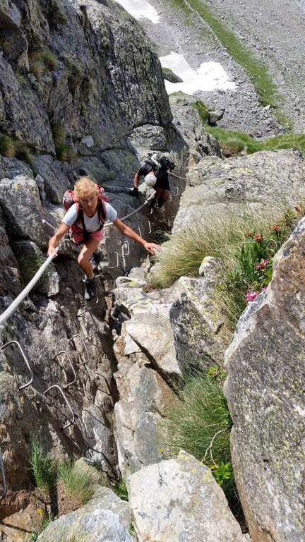
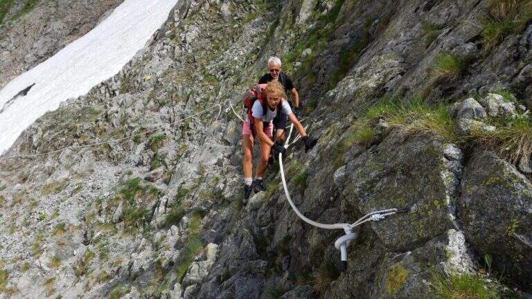
From the ridge you will encounter big rocky rocks with fixed rope brushes anchored to fittons and nails (currently removed). You go up the channel to the left, you pass an exposed edge and you face a dihedron with ropes and metal brackets. On the grassy plateau above a traverse to the right and a few meters of path conclude the stretch equipped in proximity of the Dalmazzi refuge (30' from the first rope, 2h30' from the parking lot).
Easy technically, but it is a high mountain hike with severe environments, nearby glaciers and risk of rock fall along the ascent channel.
Summer (July-August) with stable weather. Snow remaining at altitude until late season. Before leaving check the state of the route equipped with the shelter or local guides.
Same climb (2h from the hut, 5h total). The equipped sections, if present, are easy downhill.
In the area there are Ferrata al Bivacco Borelli e la Ferrata del Bicentenario al Mont Chetif.
- DifficultyEasy
- RegionAosta Valley
- GroupMont Blanc / Val Ferret
- Approach2:00 h
- Ferrata0:30 h
- Itinerary (a/r)5:00 h
- Hardware level difference150 m
- Route difference800 m
- Max2590 m
- Length9,8 Km
