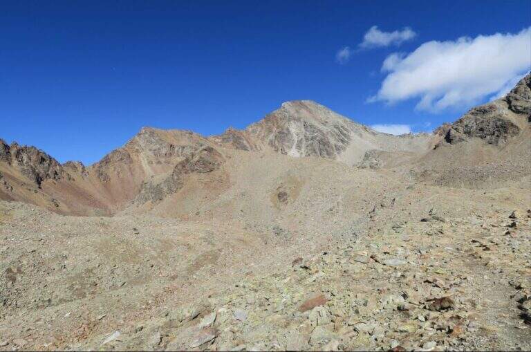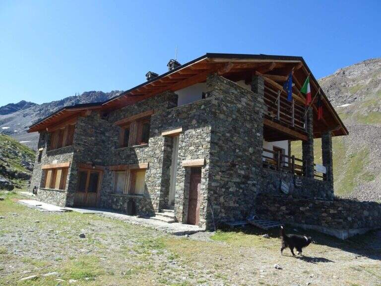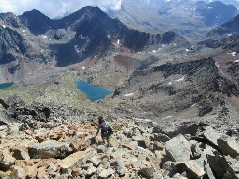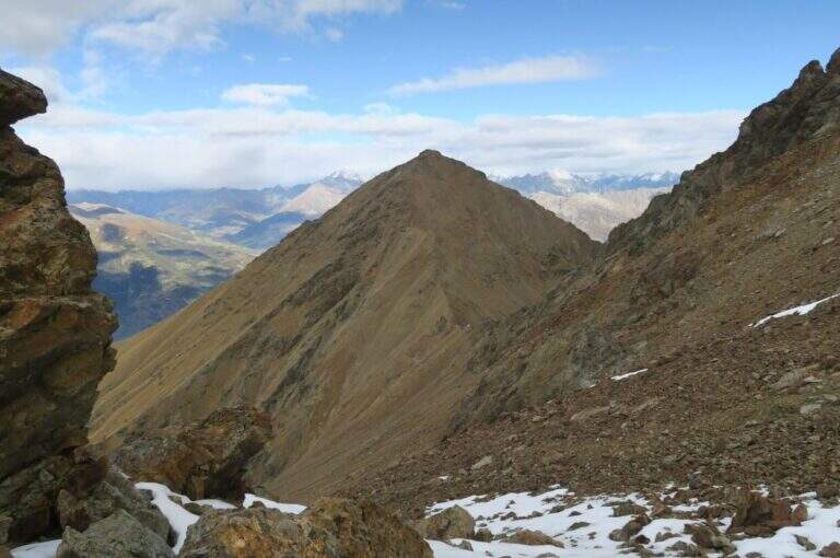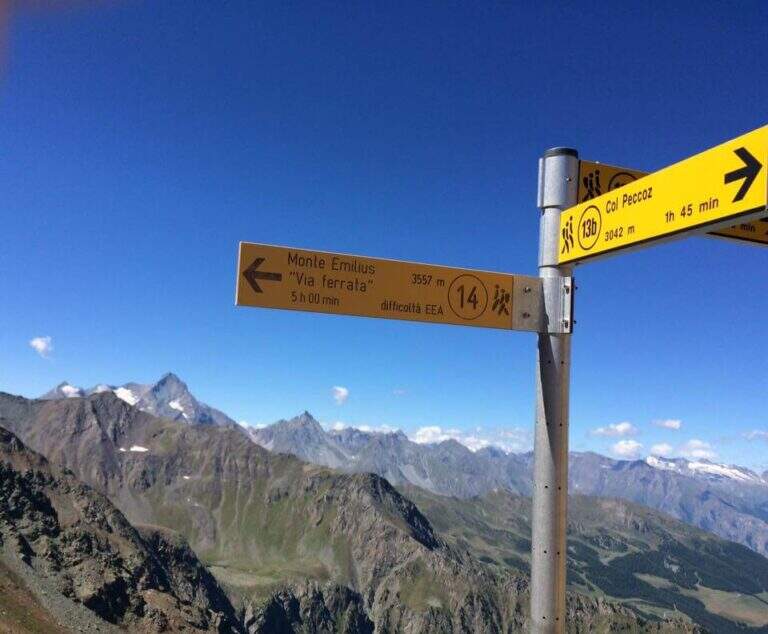
The Ferrata del Monte Emilius crosses the north and north-west ridge of the top (3551 m) from the Colle Carrel: for length, environment and altitude difference should be considered one of the most challenging. It is a high mountain itinerary not to be underestimated, more than 16 km, which should be broken in two days with overnight stay at the Arbolle Refuge or the Federigo Bivacco.
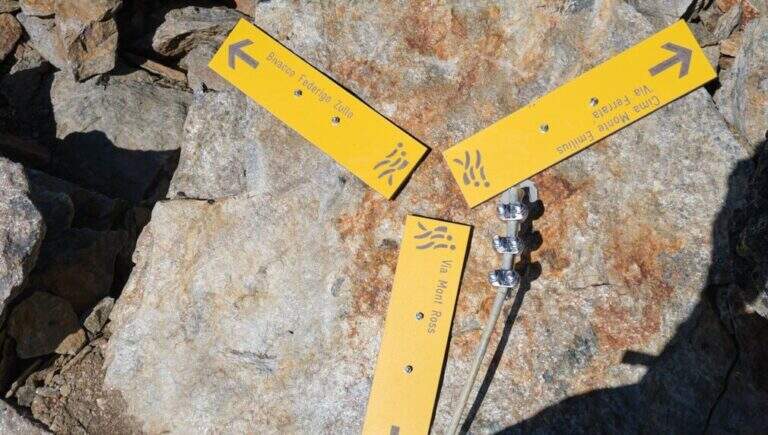
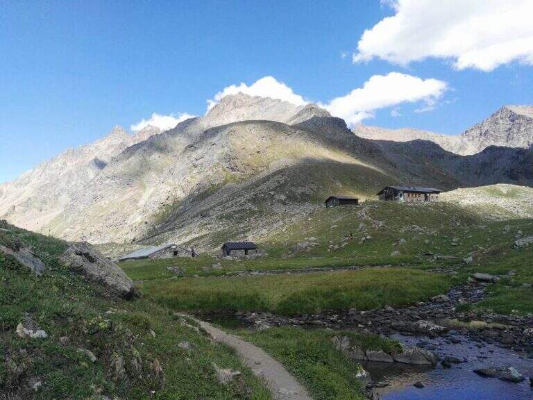
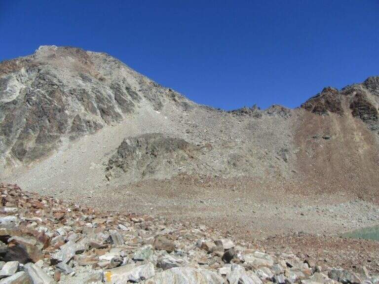
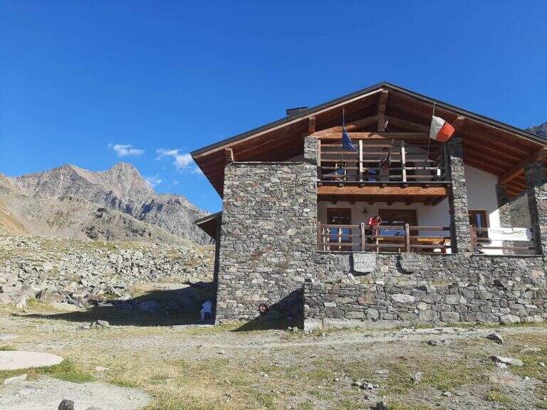
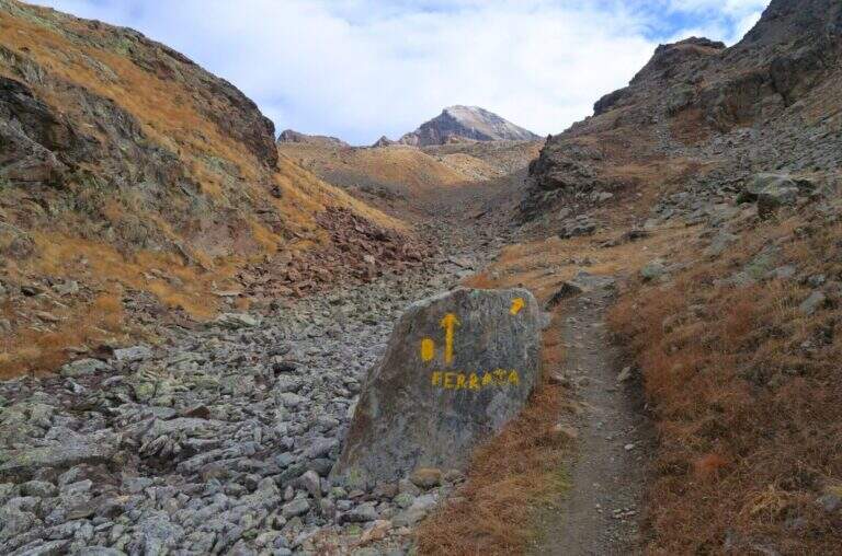
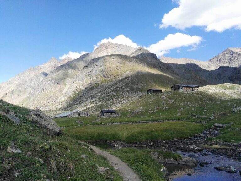
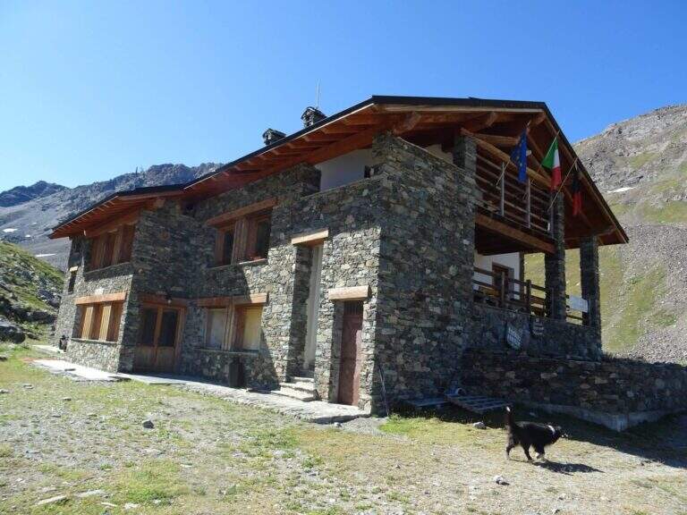
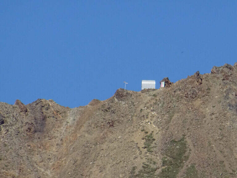
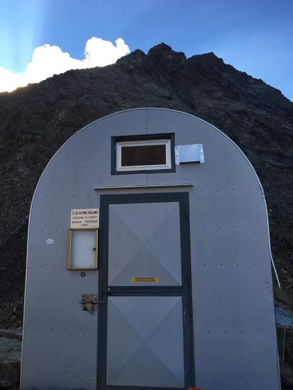
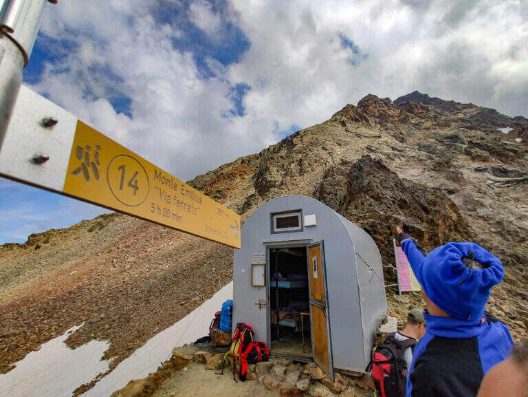
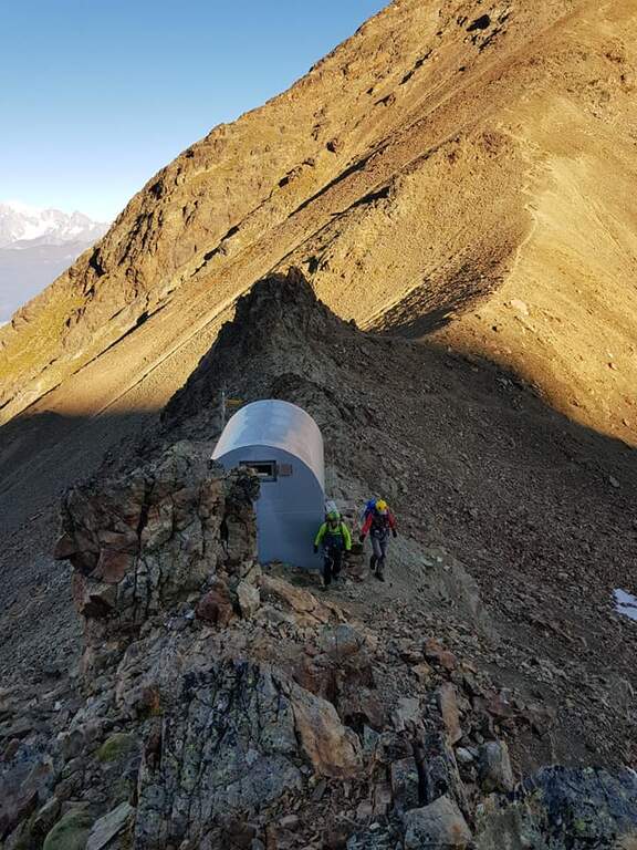
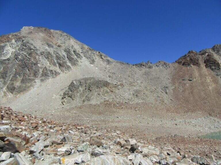
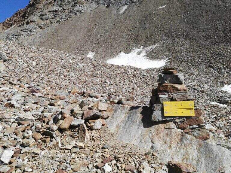
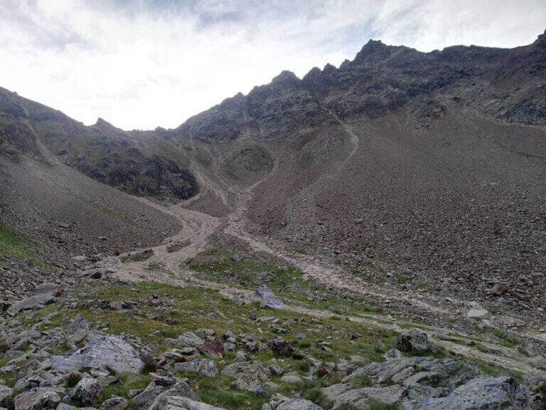
From the Aosta-Pila mountain station, continue to Chamolé station (2300 m). Open road signs on Google Maps. Follow the path towards Refuge Arbolle (mark 19c then 19a uphill, then a hundred meters downhill in the Arbolle valley; 1h 30' from the upstream station). You should stay at the shelter. From there go down the path 14 (Vallone di Comboe) up to a crossroads where you keep the right on the paths 16c e 16a to the spartan Bivacco Federigo (2907 m), under the Colle Carrel (1h 30' from the refuge, 3h 45' total). The ferrata starts right behind the bivouac.
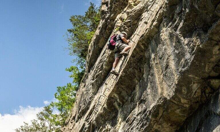
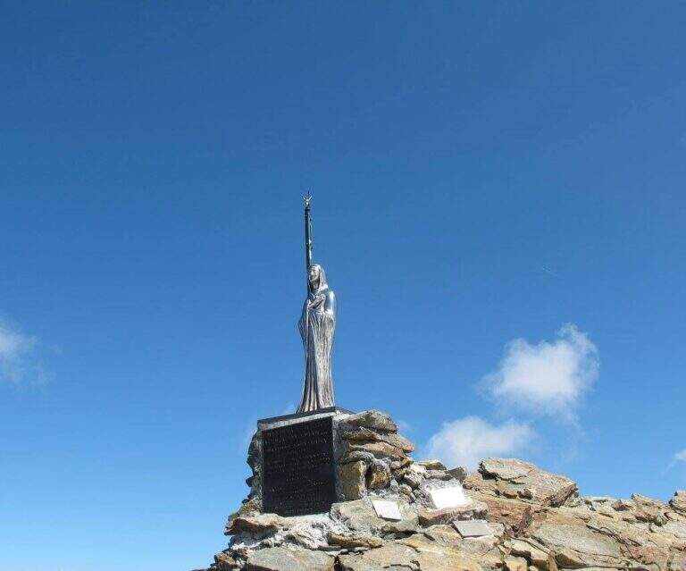
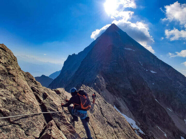
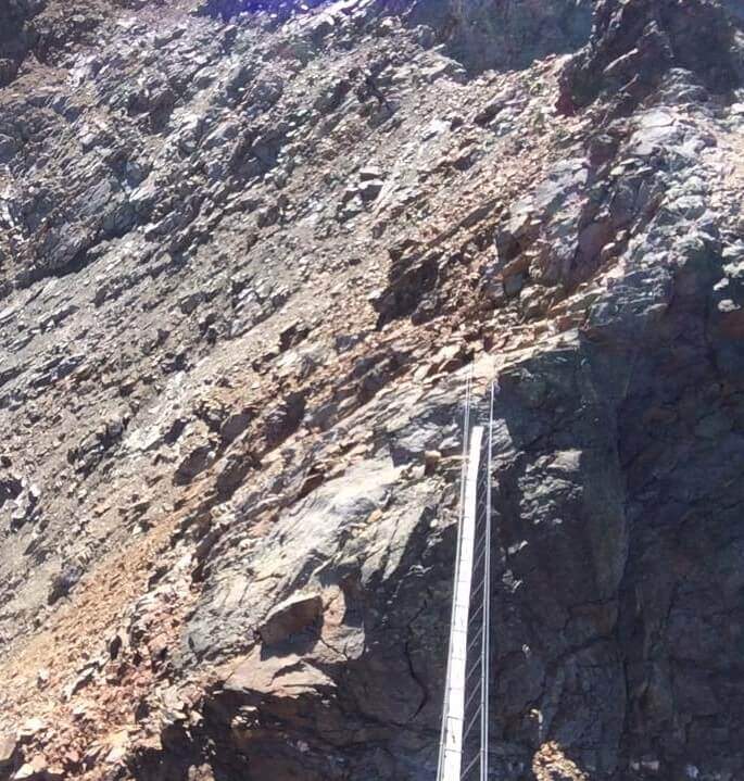
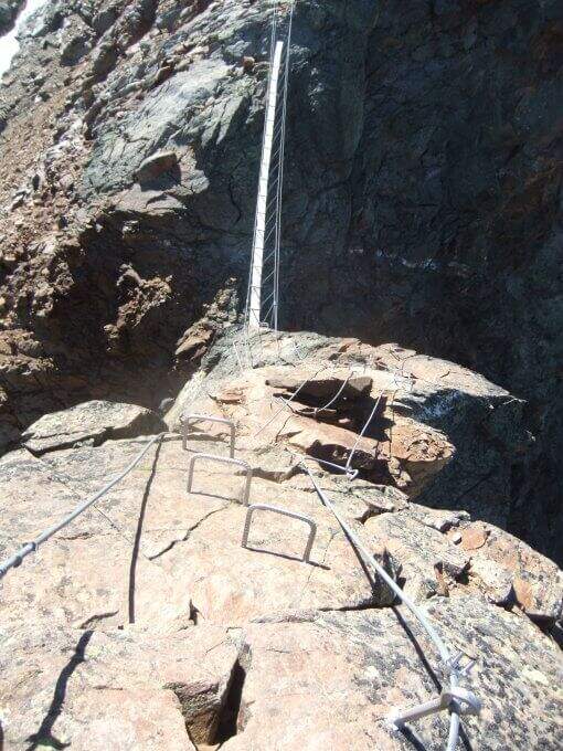
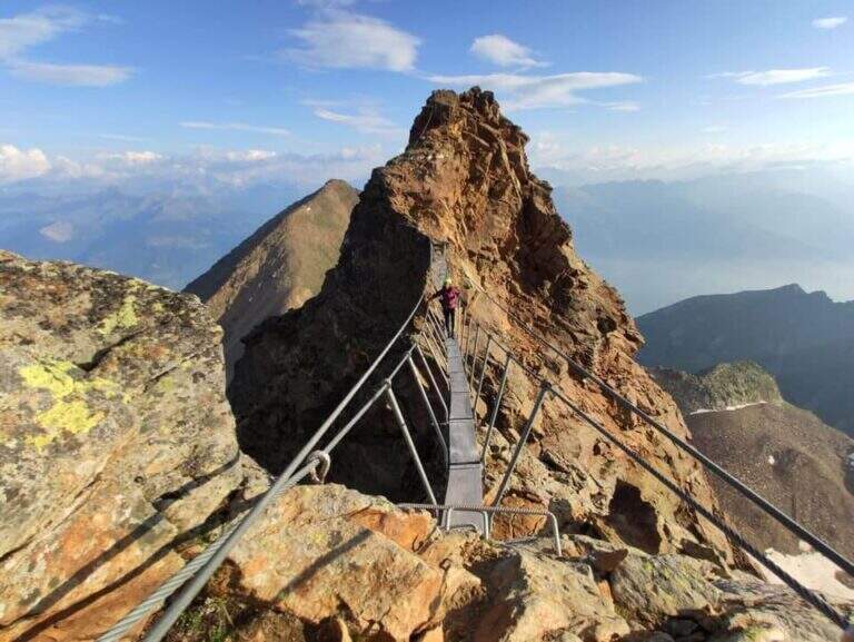
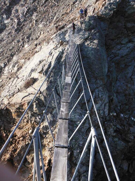
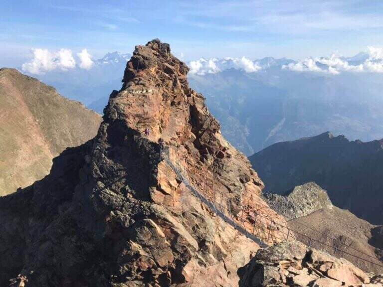
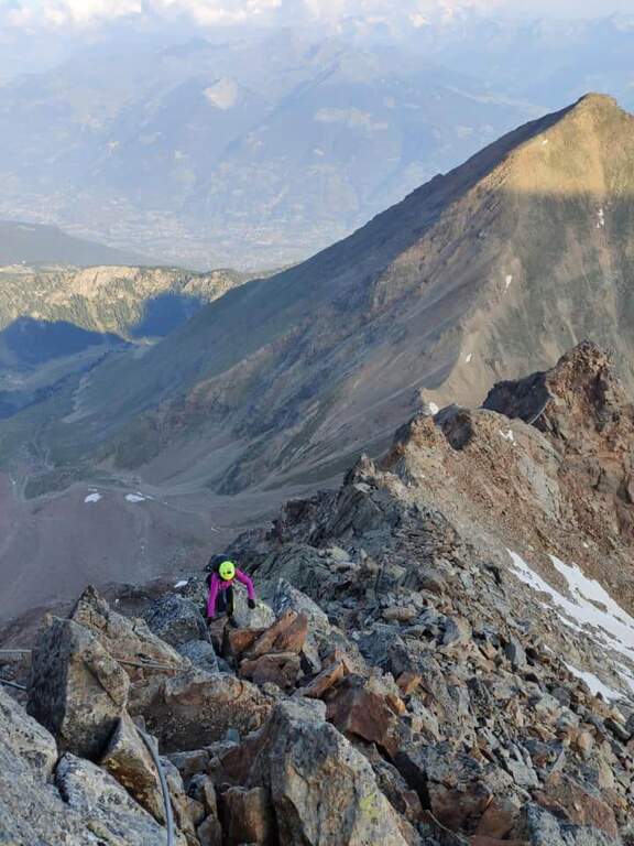
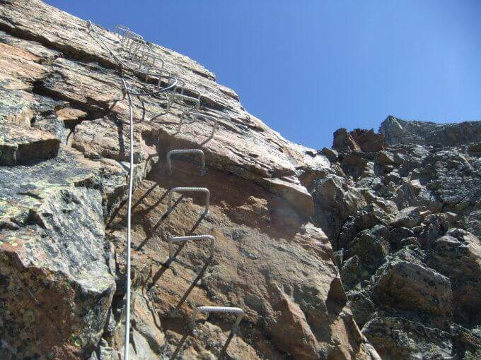
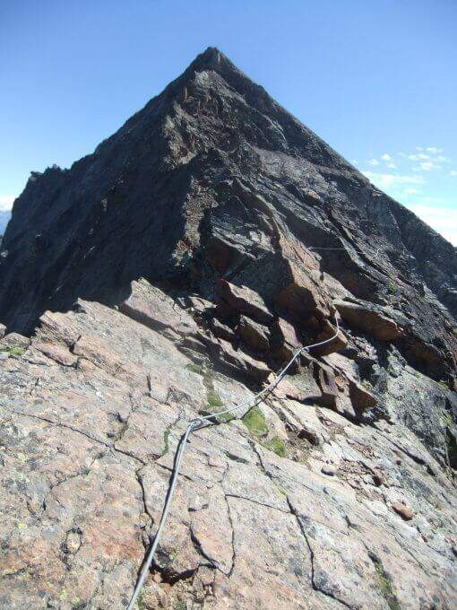
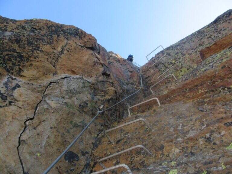
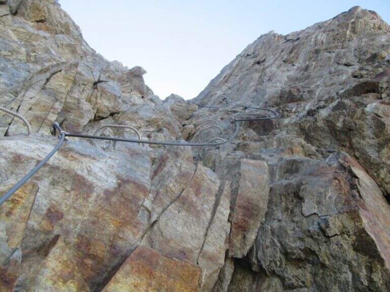
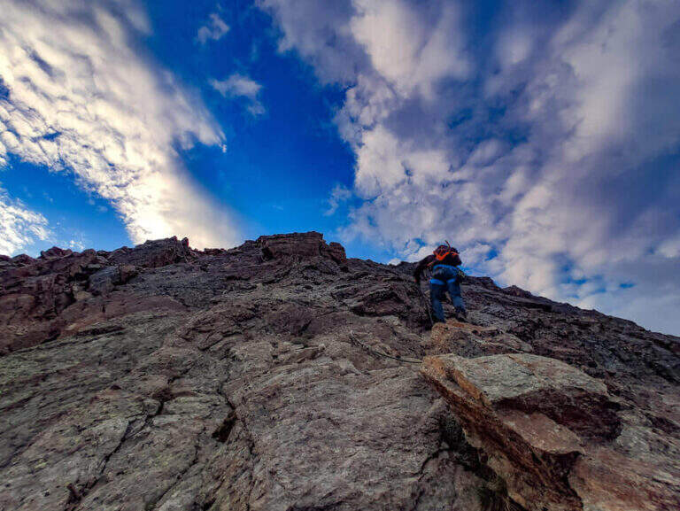
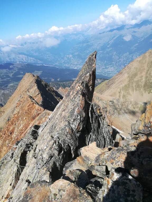
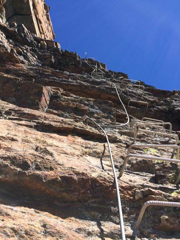
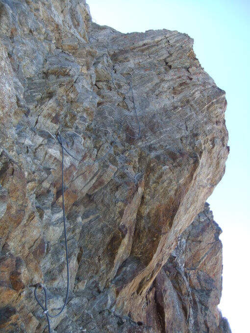
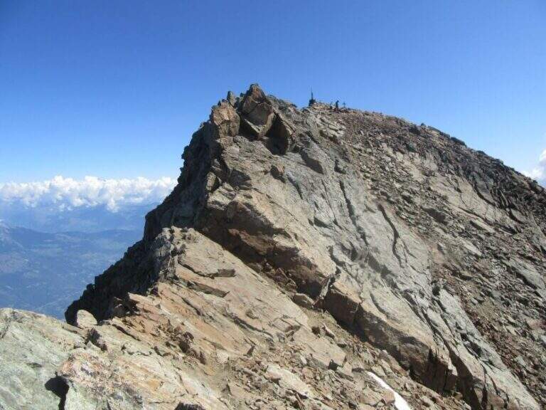
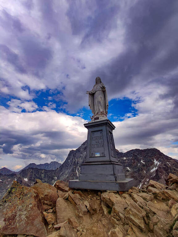
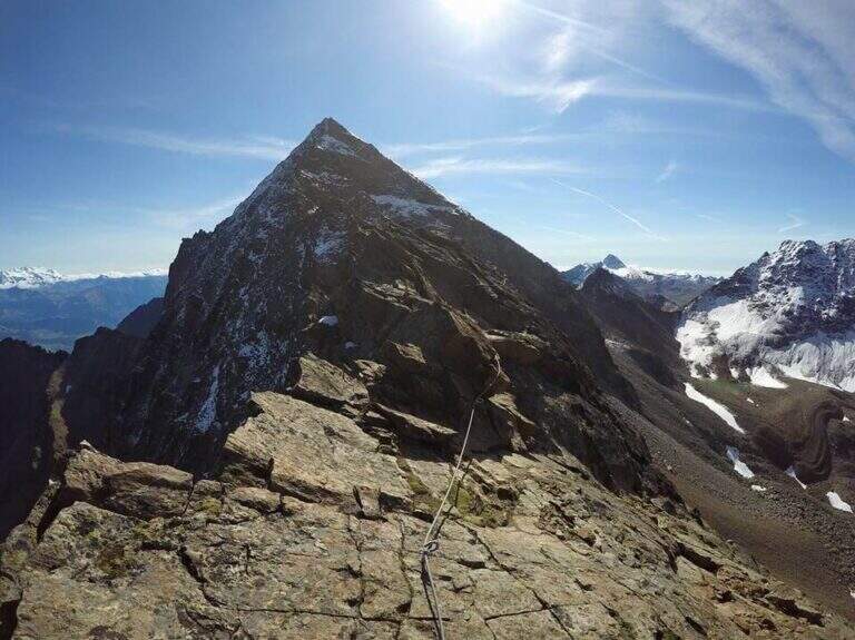
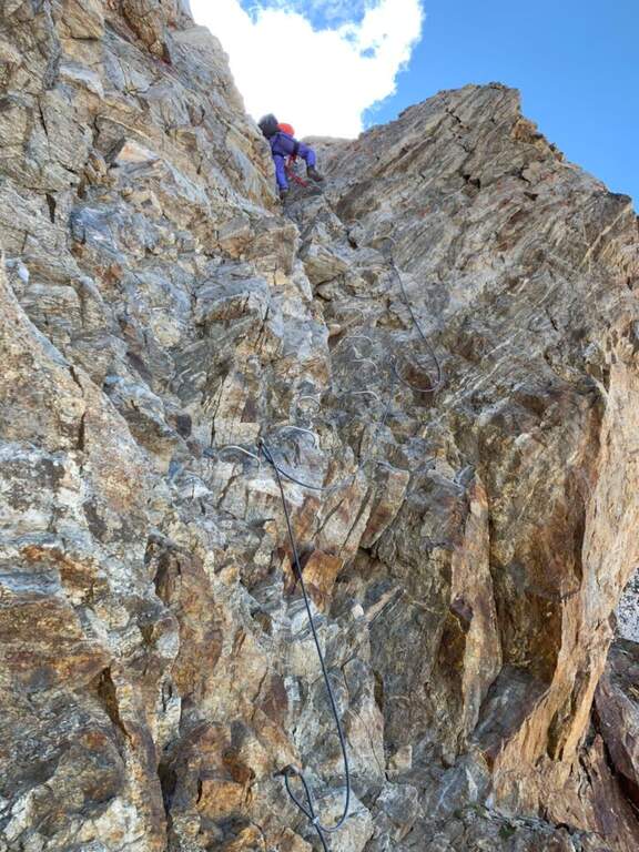
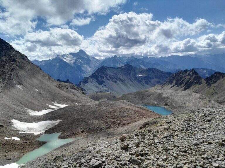
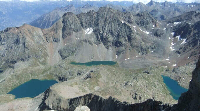
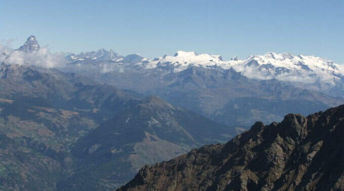
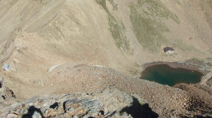
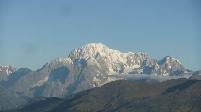
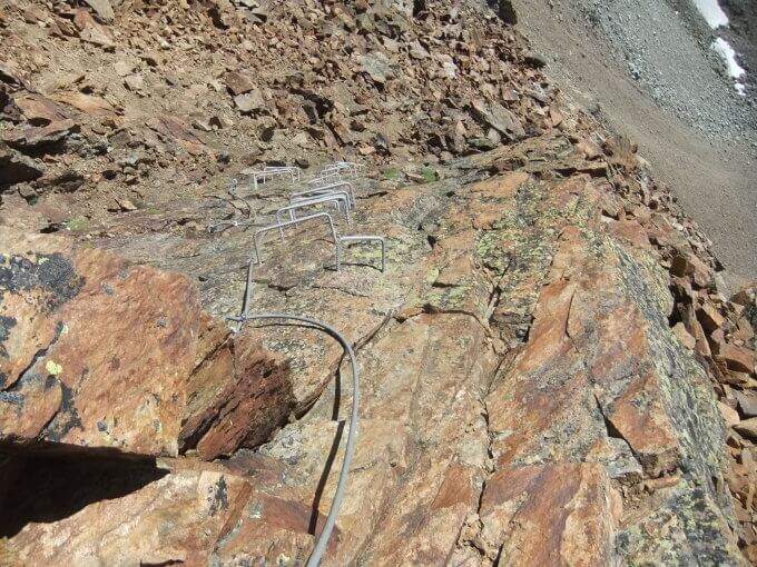
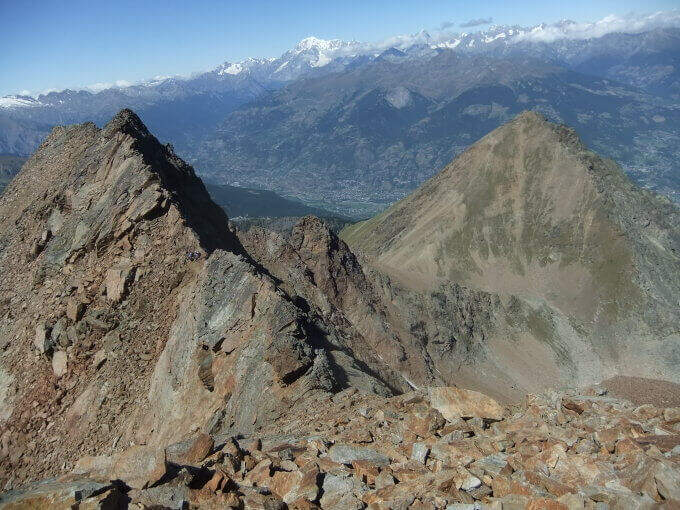
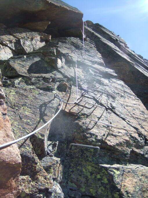
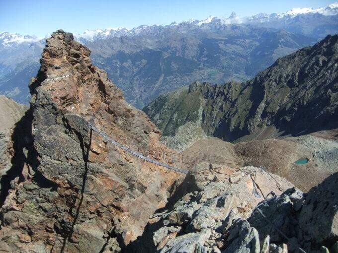
From the bivouac follow the traces up to the' attack; the road takes place mainly on the crest wire. There are rocks and several exposed but not difficult traverses, up to a point where you disarrampica towards a suspended bridge very exposed, with wooden walkway for your feet. Beyond the bridge you reach the Mont Ross, from which you continue on the right side on sloped and exposed plates; here a via escape (cart) descends right towards Lake Gelato. The ferrata alternates along the crest path and vertical or exposed passages protected by cable and cambre, along beautiful granite plaques, up to the Petit Emilius (3342 m). Always holding the right of the wire you pass the steps and a vertical section with metal fixtures where there can be a snowmaker even in late season (better to have the ramps). A last rocky highlight leads to the final ridge and, in about ten minutes, to the top madonnine (3551 m, 4h 30' from the bivouac, 7h 30' total).
Excellent and well positioned equipment, but it is a ferrata to be considered as part of a long, challenging and fulfilling alpine itinerary. At the end of the road, attention is paid to some unprotected sections on rock not always stable.
Full summer with snow absent or manageable at altitude. High mountain: assess conditions, plant and weather times.
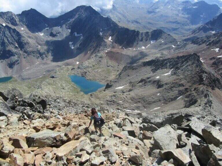
From the top you descend along the normal road to the Passo dei Tre Cappuccini, along the Gelato Lake and continue until the Rifugio Arbolle (2h 30' from the top, 10h total). From the refuge, back to the path of approach to the cable car (1h from the refuge, 11h total).
Staying in Arbolle, on the return you can walk the simplest but panoramic Sentiero Attrezzato Panorama. Other itineraries in Valle d'Aosta: Ferrata del Gran Paradiso, Ferrata al Bivacco Borelli e Ferrata delle Crete Seche.
- DifficultyVery difficult
- RegionAosta Valley
- GroupMonte Emilius
- Approach3:00 h
- Ferrata4:30 h
- Itinerary (a/r)11:00 h
- Hardware level difference750 m
- Route difference1250 m
- Max3551 m
- Length16,4 Km