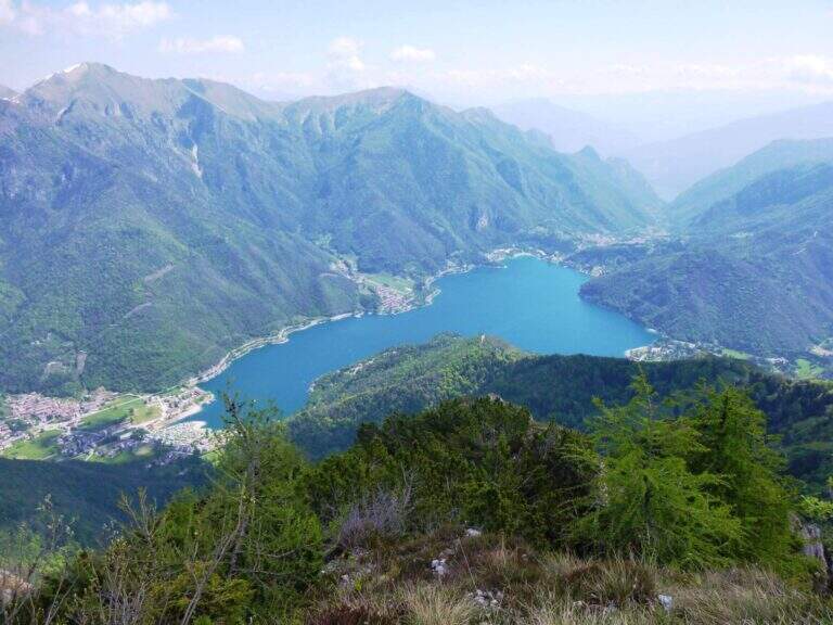
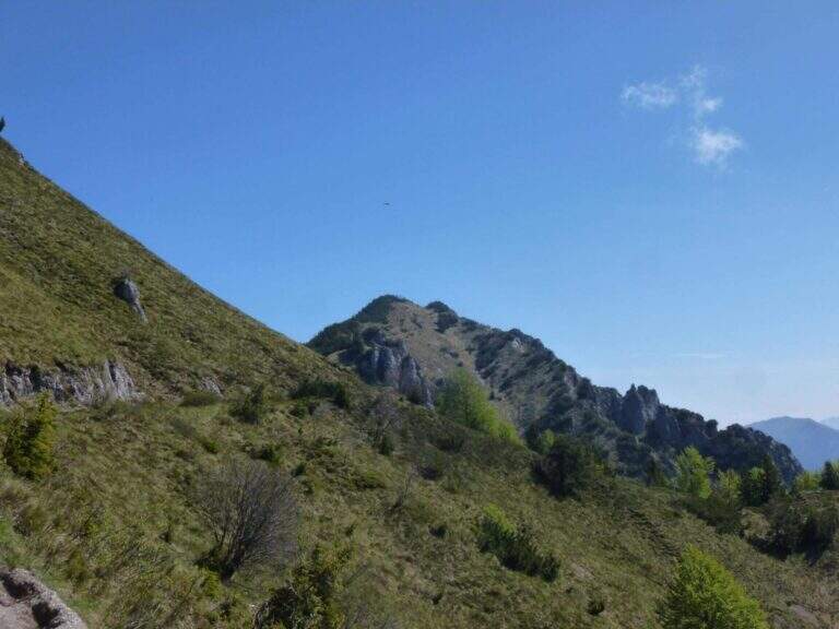
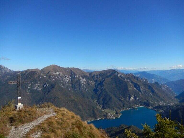
Itinerary along the ridge above Lake Ledro, in the heart of the Prealps Giudicarie, which leads to the summit of the Cima Casèt with opening on the panorama of the lake and the Trentino valleys. A little popular route, varied in the rooms and with a stretch equipped with authentic mountaineering character.
From the parking lot of the Garibaldi hut to Passo Tremalzo take the path 419 towards the north. In about 30′ you reach the Bochet de Caset (1645 m), where you leave the main track and take the trail 416 left. Then climb up 456B towards Cima Caset, pointing to the eastern slope where the attack of the equipment (1h15′ from the parking lot, directions road map).
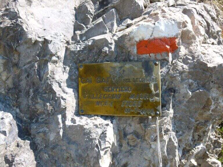
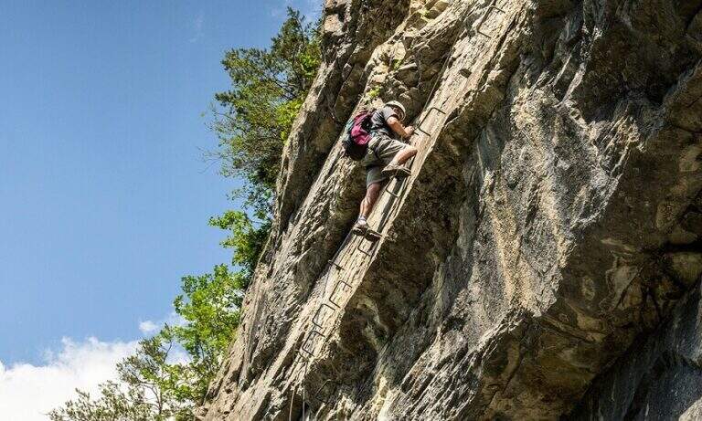
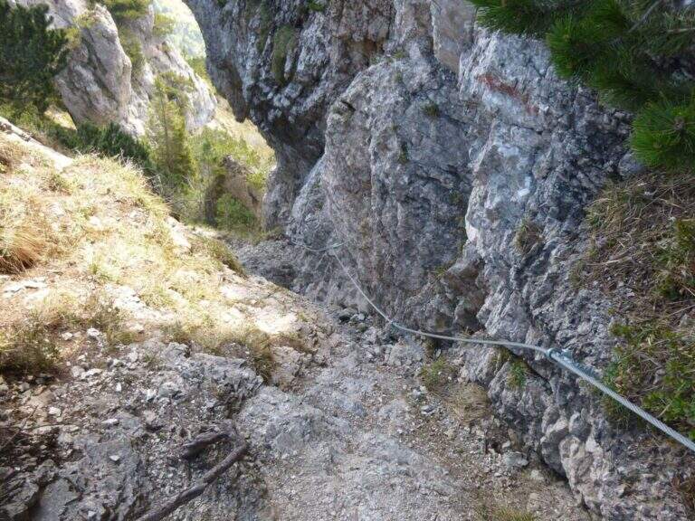
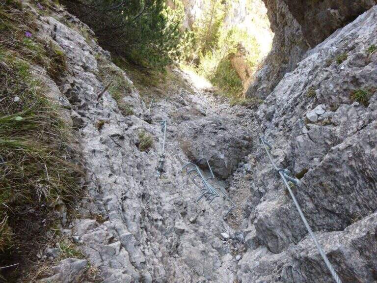
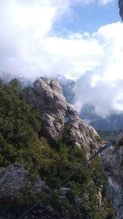
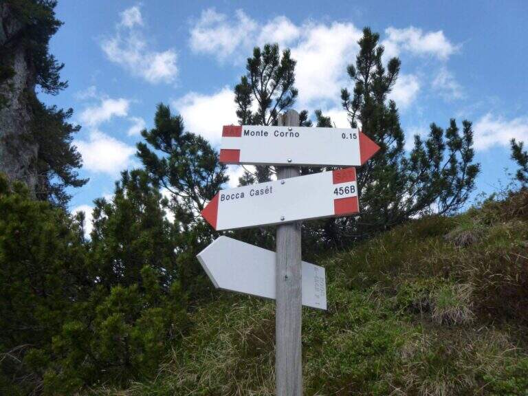
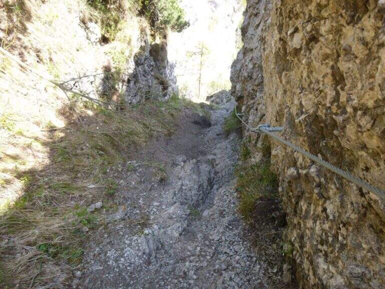
The first metal protections accompany the climb of the east wall of Cima Casèt. Earn the top, descend towards the Pubregn (1774 m) along a nod equipped with cable. It then faces a colatoio of about 30 m down through ropes, which flows on a panoramic balcony with a direct view of Lake Ledro. The next section goes up with fireplace, brackets and short verticals until the plaque that marks the end of the route equipped to Bocca Corno Caset (1h45′ from the attack, 5h total).
Classified Hard. The route alternates steep pathways and stretches equipped with cables and brackets. The descent of the 30 m colatoio with the ropes is the most challenging passage, followed by the census exposed above Lake Ledro. The rock is in some friable traits: always proceed with caution.
From June to October, preferably in stable weather conditions. Unconscious immediately after abundant rainfall.
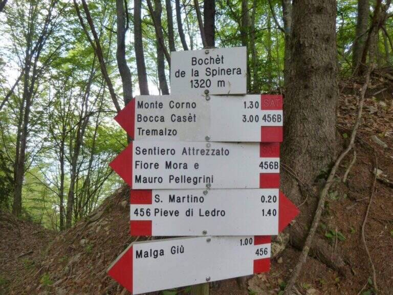
From the end of the equipped path you descend to the Bochèt of Spinera (1318 m) through the path 456 towards Malga Giù, returning to the fork and then to the parking lot of Passo Tremalzo (5h total).
The Tremalzo area also offers the nearby Sentiero Attrezzato Segata on the opposite side of the lake.
- DifficultyHard
- RegionTrentino-Alto Adige
- GroupJudicial prealps
- Approach1:15 h
- Ferrata0:30 h
- Itinerary (a/r)5:00
- Hardware level difference40 m
- Route difference225 m
- Max1774 m
- Length7 Km
