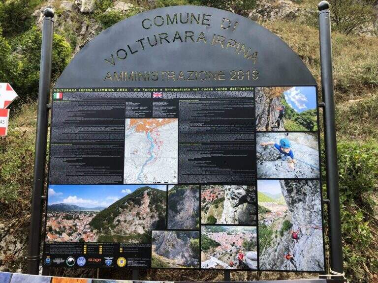
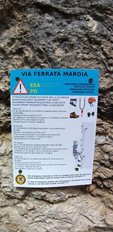
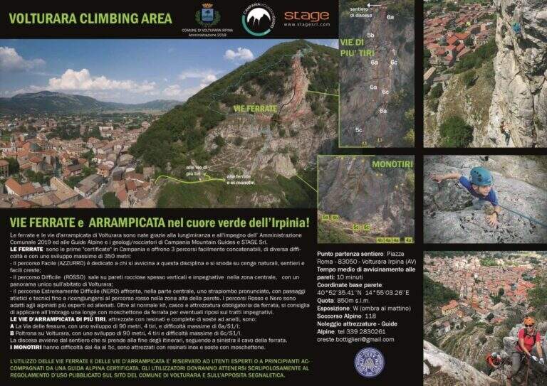
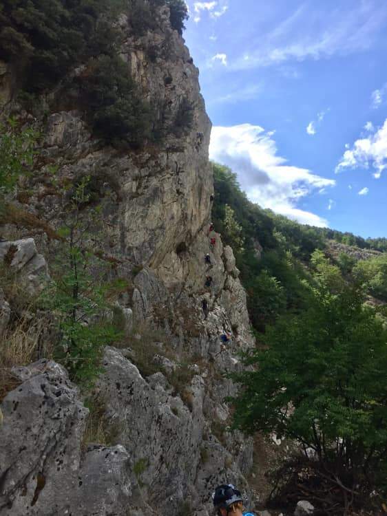
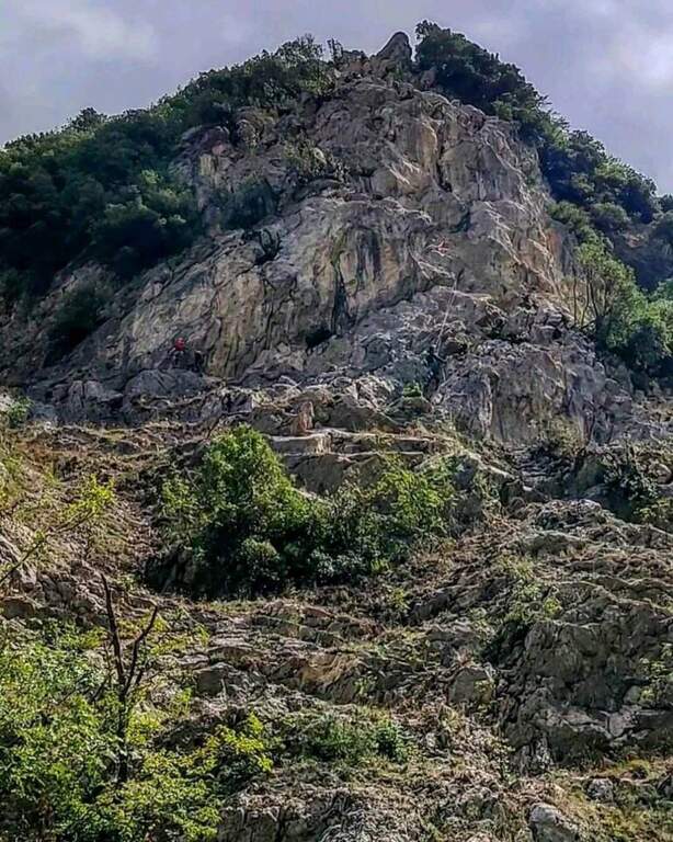
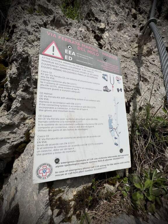
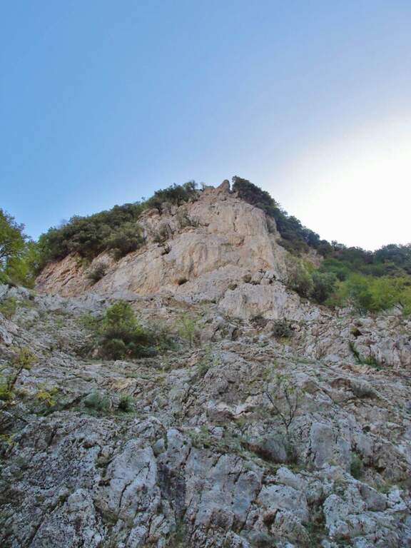
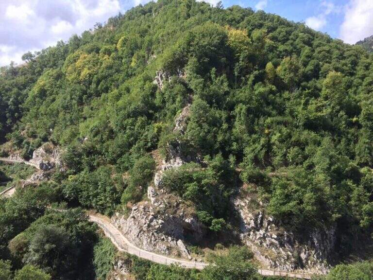
La Ferrata di Volturara Irpina (or Ferrata di Maroia) è the first via ferrata certified in Campania, installed in 2019 on the west wall of Monte Costa. It offers tre routes difficultà growing – an easy base track, a moderately difficult variant and an extremely difficult variant with strapiombi – in a beautiful and out of the usual destinations.
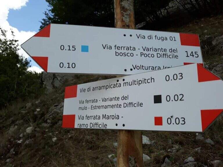
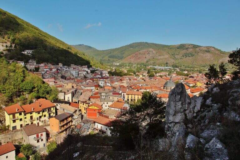
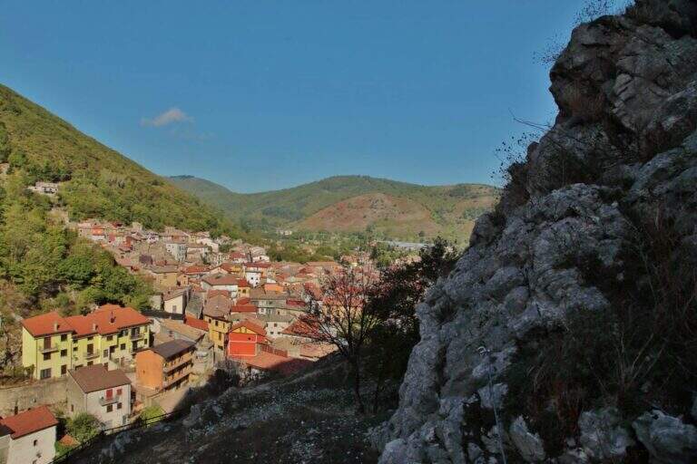
It starts from the center of Volturara Irpina (Avellino), with the wall clearly visible to the southeast. Open road signs on Google Maps. From' crossroads between Via Sibilla, Via Candragone and Via Pasquale de Feo a road to the wall: follow the signs, ignoring on the left the multipitch routes, and in a few meters you reach l' hardware attack (10' from center).
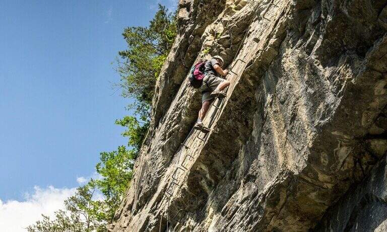
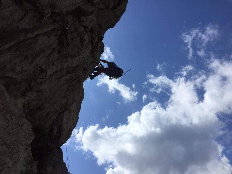
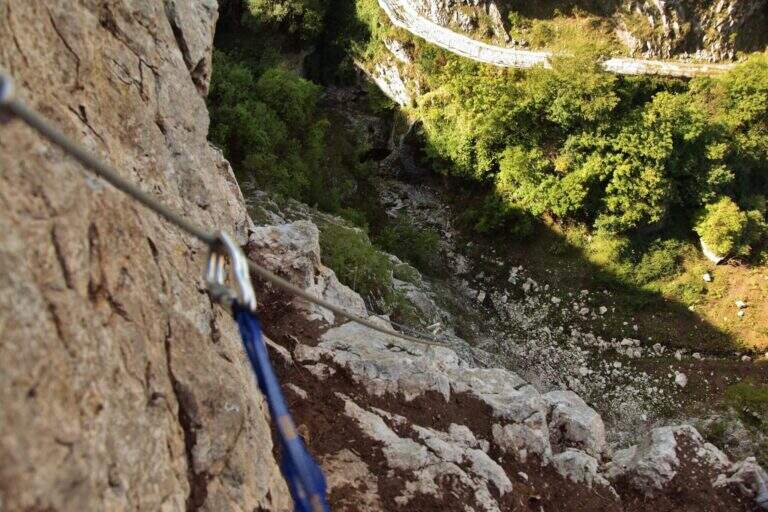
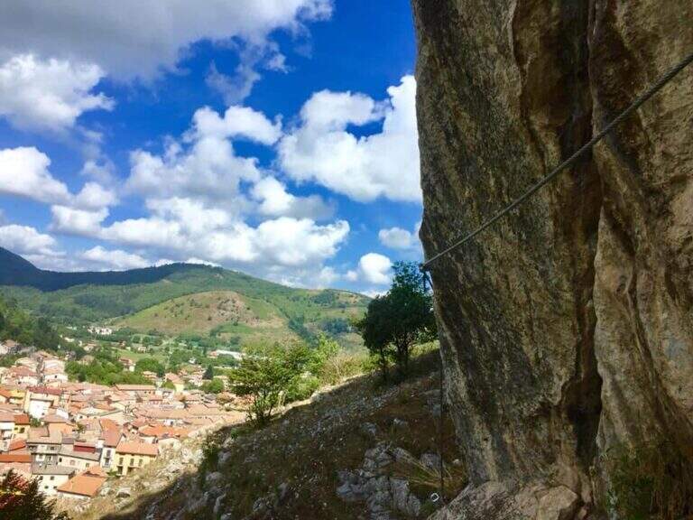
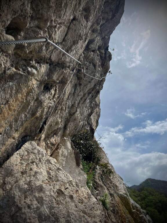
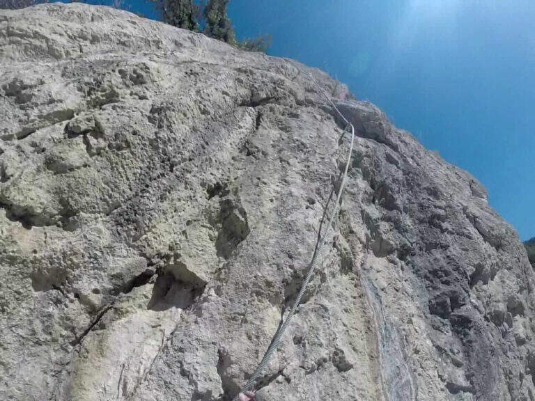
The route has a first common obligated trait, then it is divided into three tracks with an escape route after the first stretch. The blue path (easy) climbs a ramp to the right and a stranded edge in climbing, then descends a couple of meters to the left on an exposed and panoramic traverse; it continues left on path in the forest (here the escape route) and ends with blinds and easy leaps on the summit cres. The Red Path (the real Ferrata Maroia, moderately difficult) keeps the right on a ' wide nod, exceeds a challenging diagonal traverse, a strapiombo with athletic pitch and beautiful exposure, until you reach the blue path. The Black Path (Mount, extremely difficult) & short but very athletic: after an easy start rooms challenging walls up to a netto vertical strapiombo devoid of hooks, to pass fast, before rejoining the red path.
Recently with equipment in good condition and the possibility to choose the level suitable for your preparation. Level difference in ferrata 150 m, total 180 m, maximum altitude 800 m, development 4 km.
From the word follow signs CAI 145 and 145a which in about 20' they report to the center of the village: on the left (north) you descend into the forest until the census of the ' attack, on the right (south) you reach the alleys of the country (2h totali).
- DifficultyModerately Hard
- RegionCampania
- GroupMonti Picentini
- Approach0:10 h
- Ferrata1:30 h
- Itinerary (a/r)2:00 h
- Hardware level difference150 m
- Route difference180 m
- Max800 m
- Length4 Km
