
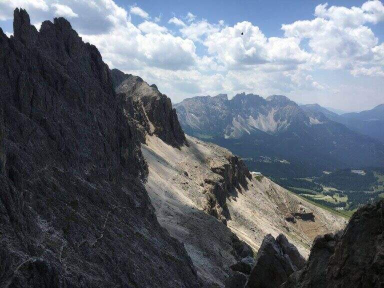
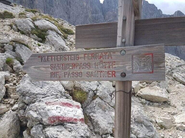
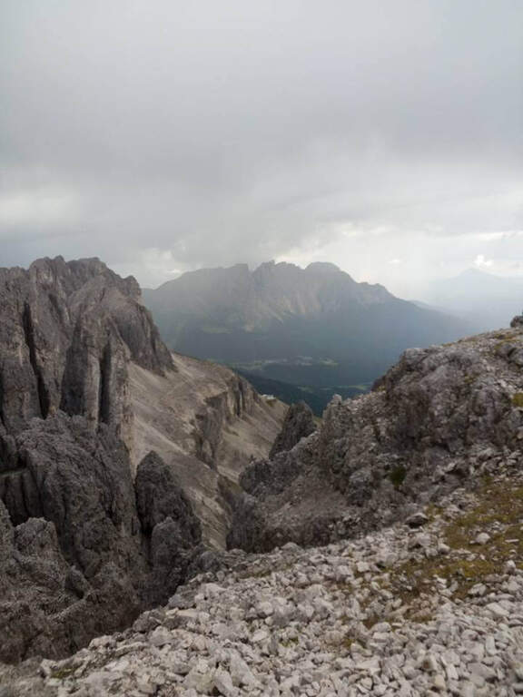
The Ferrata al Passo Santner climbs up the west wall of the Catinaccio, the Rifugio Fronza al Passo Santner, and then descends into the Vajolet Valley. Itinerary of great landscape interest, accessible in both directions; here it is proposed with departure from the cable car Re Laurino (Bolzano). The key point is a canal at altitude often snowed.
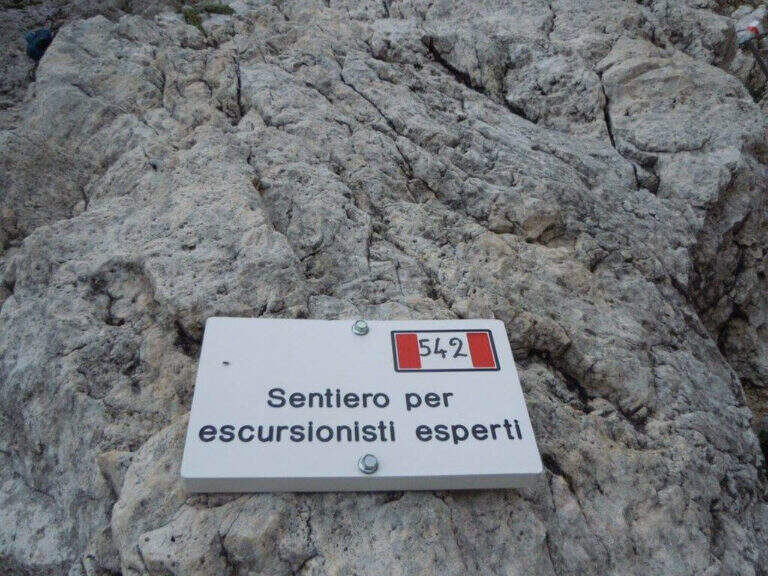
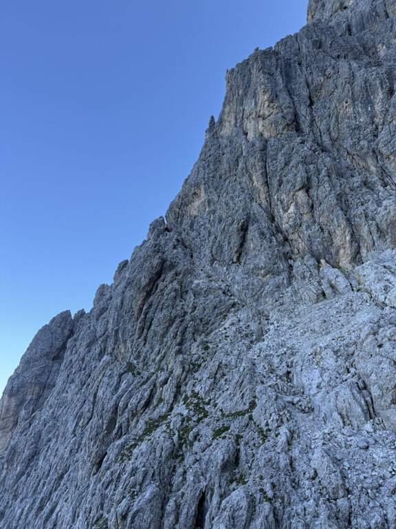
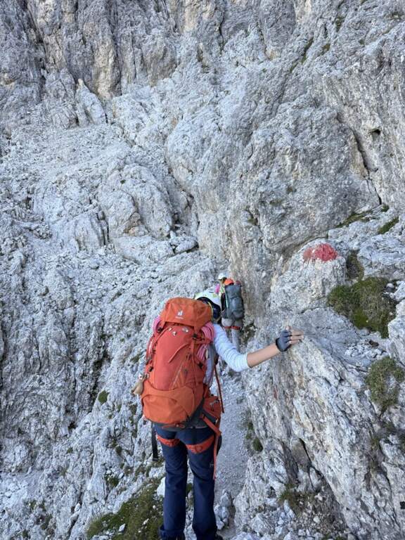
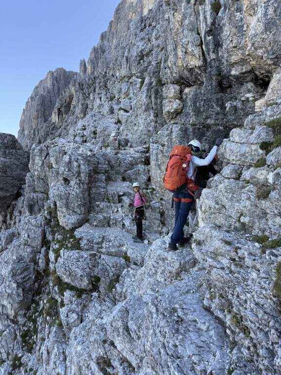
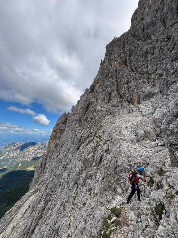
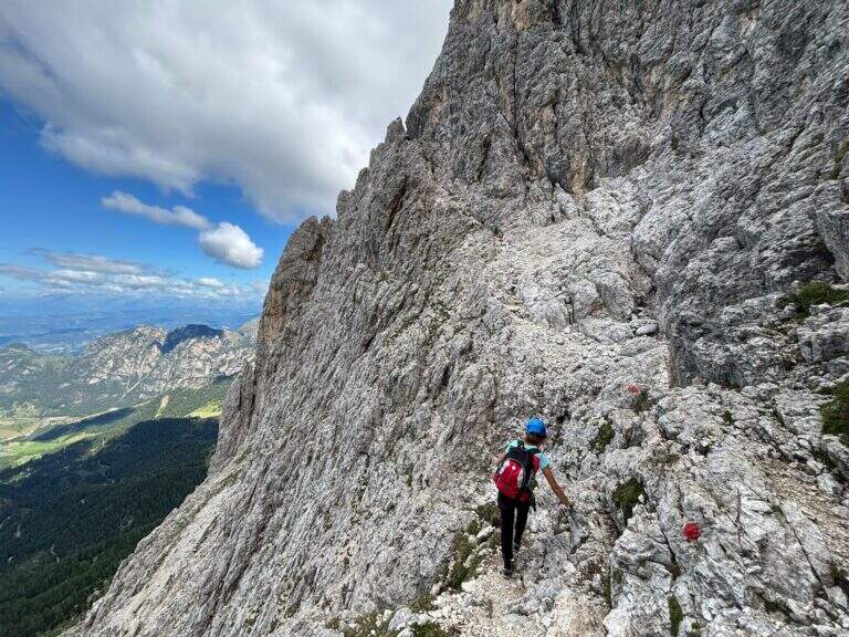
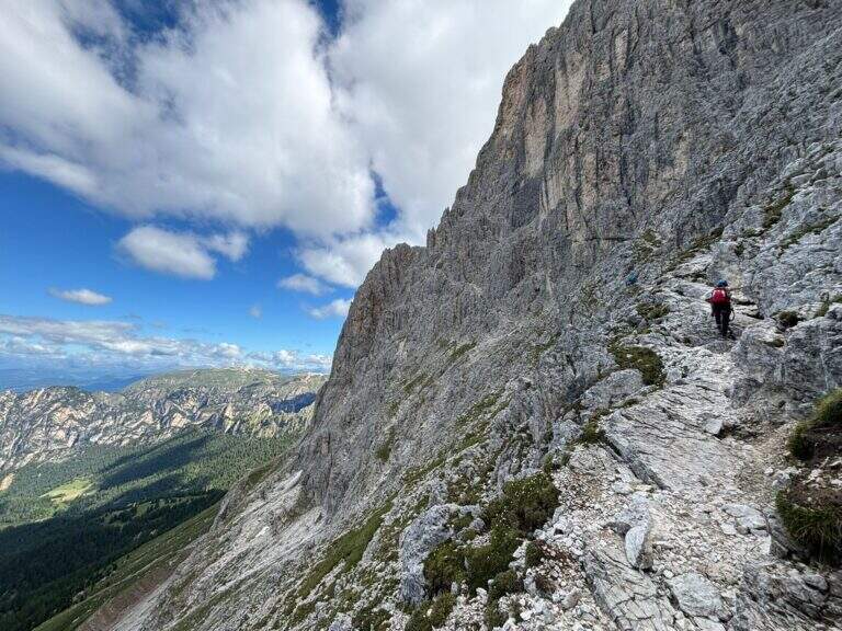
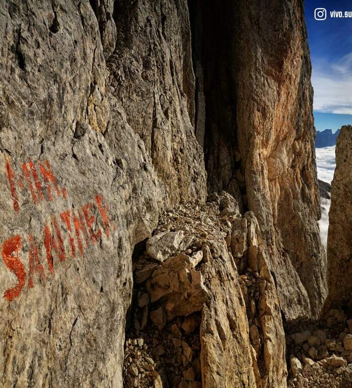
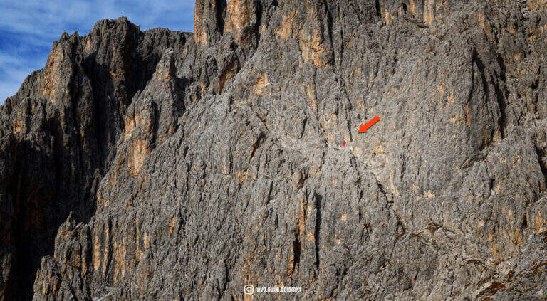
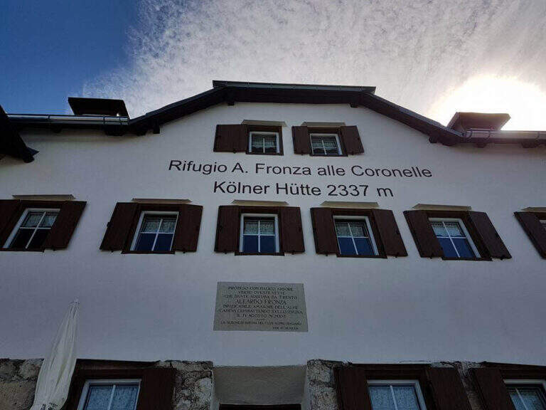
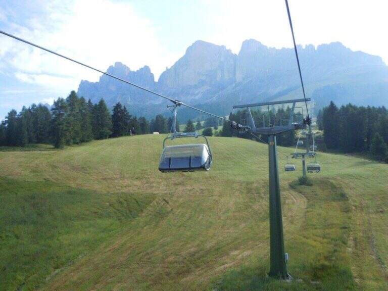
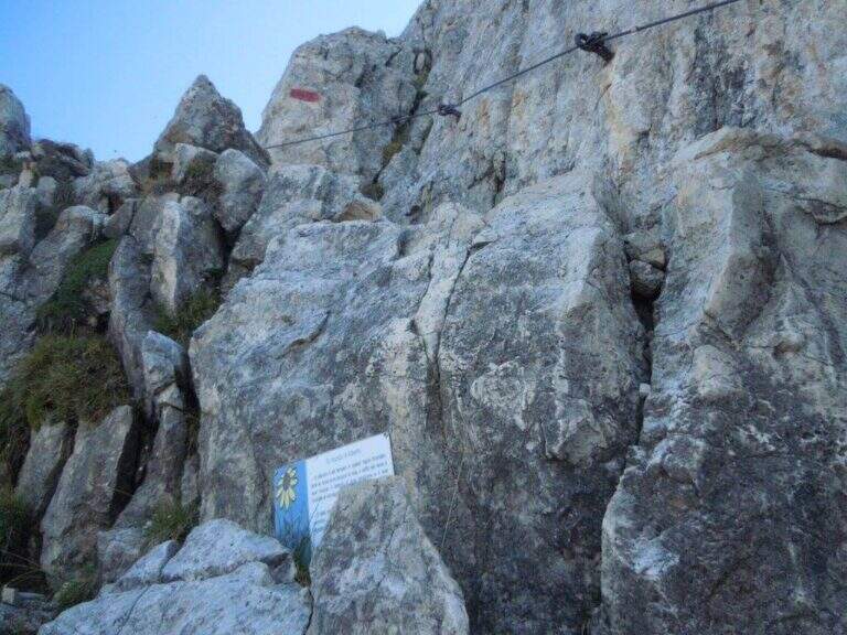
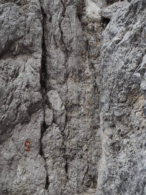
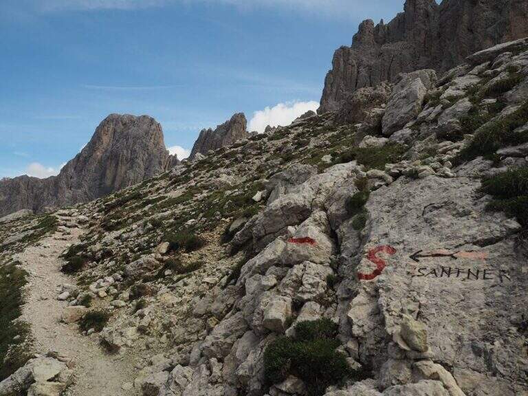
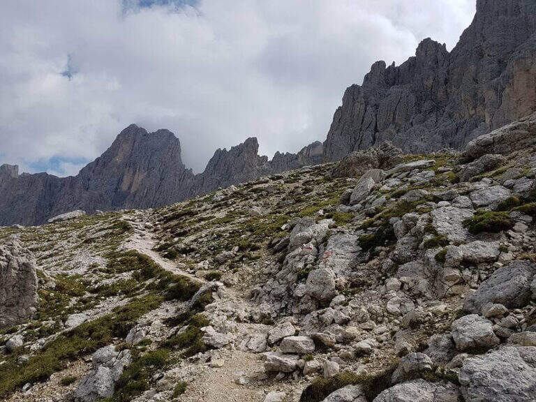
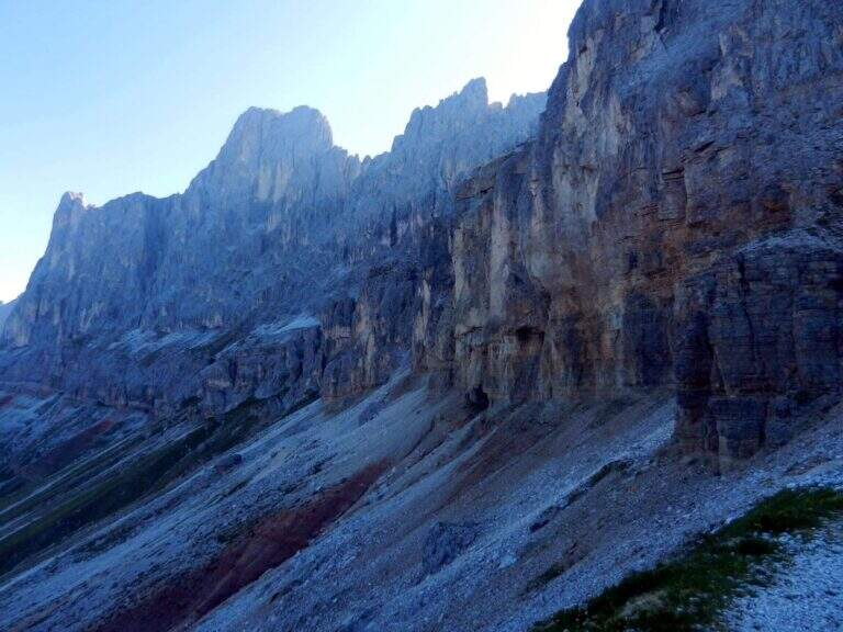
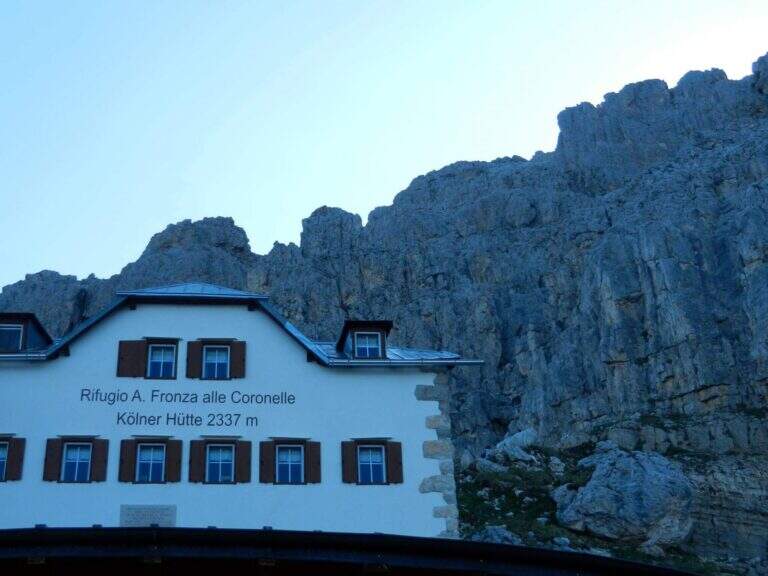
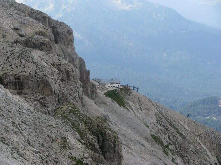
Departure from the mountain station of the Re Laurino cable car, which starts from the road between the Costalunga Pass and the Nigra Pass (Bolzano), with ample parking to the plants. Starting point on Google Maps. Behind the Rifugio Fronza, at a crossroads you leave the CAI 550 (on the right, for the Coronelle Pass) and take left the CAI 542 which, after some easy equipped stretch, continues halfway north under the overhanging walls of the Catinaccio (red signs shaped as S). It goes up to rocks not protected on canals and anfratti — not difficult but with a steady foot — and then to the first equipment, where the ferrata begins (30' from the mountain station).
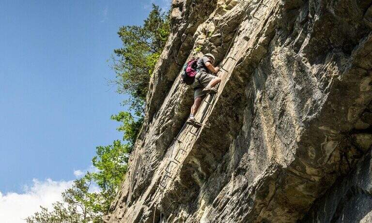
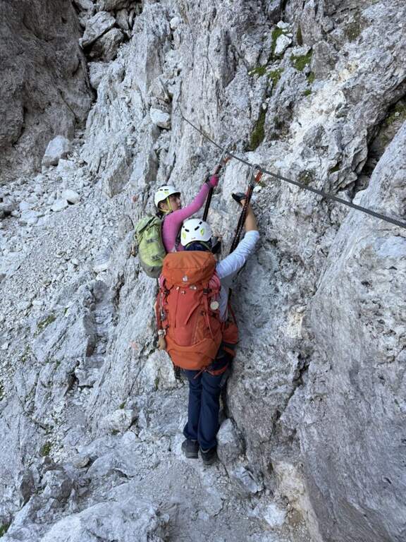
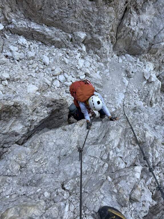
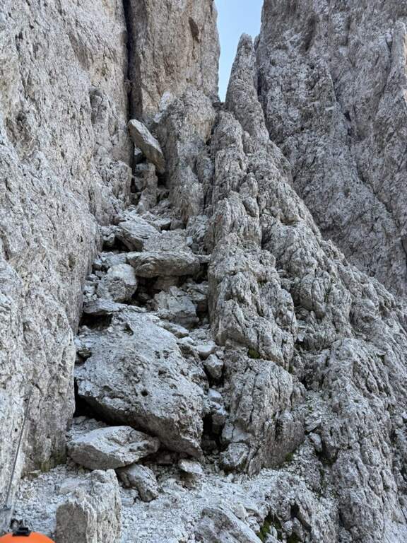
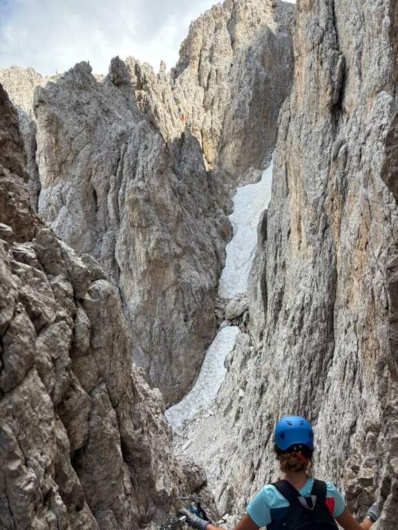
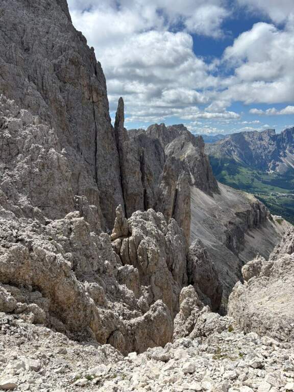
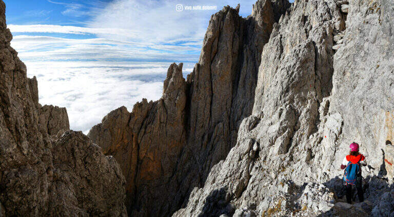
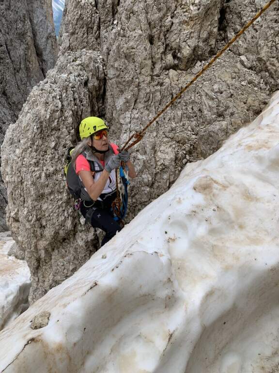
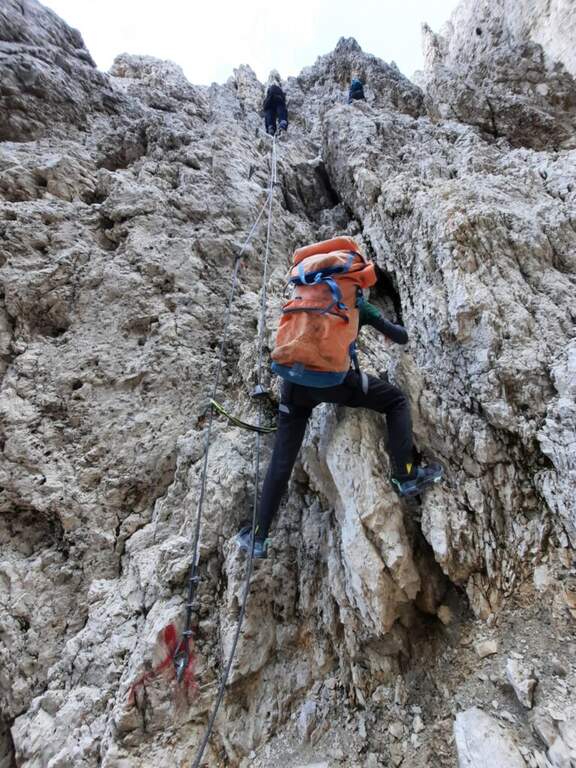
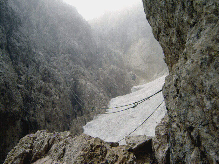
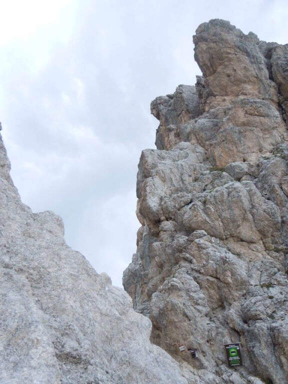
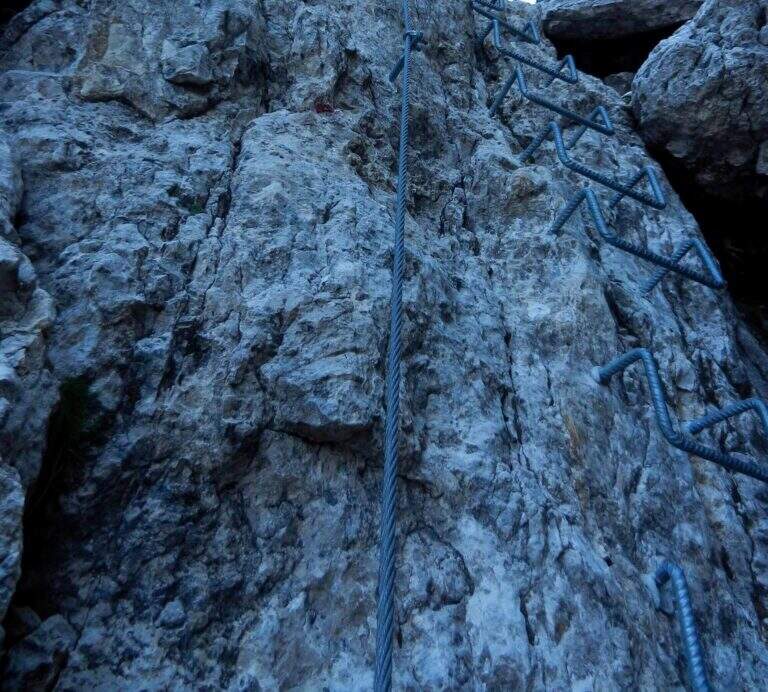
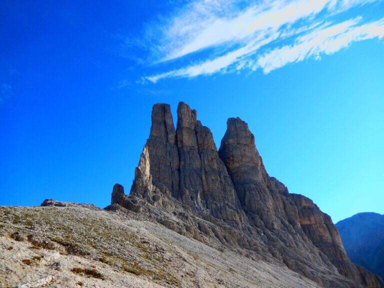
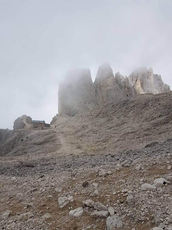
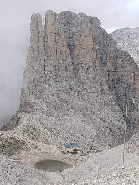
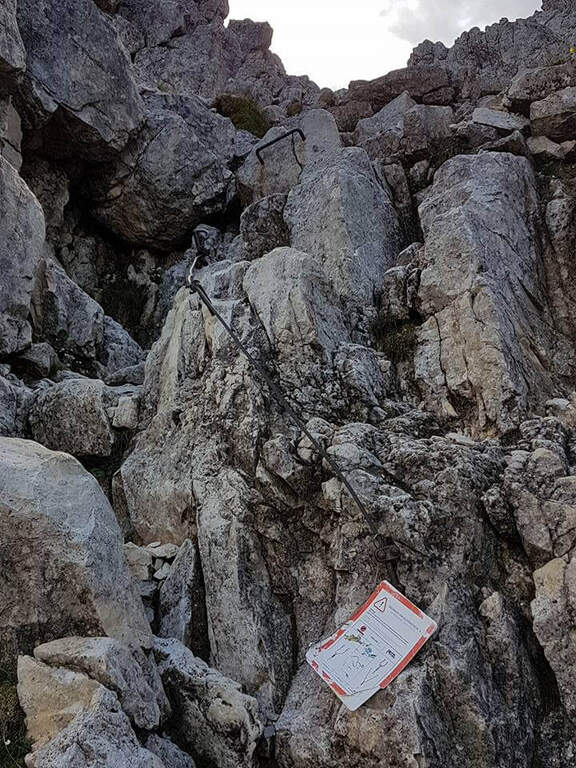
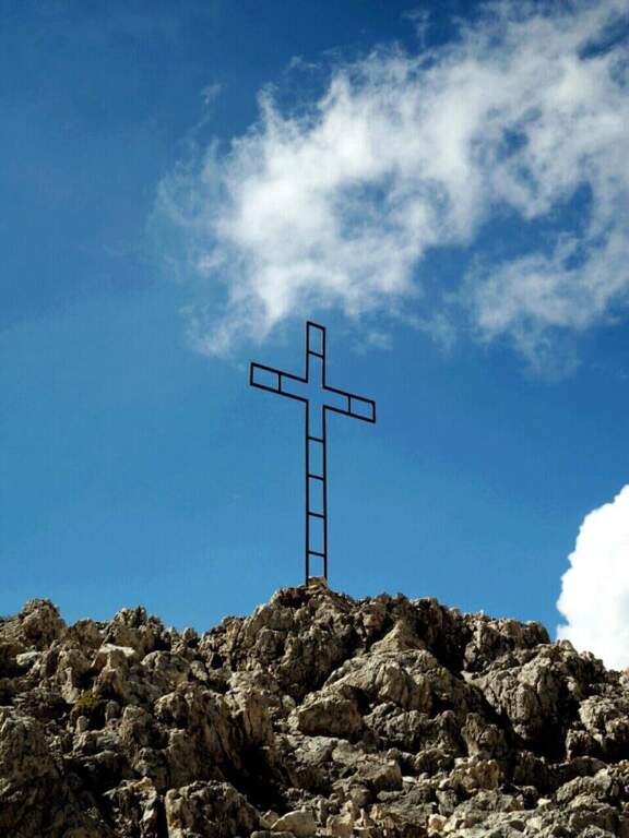
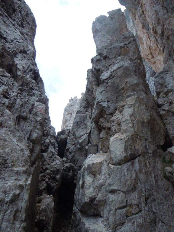
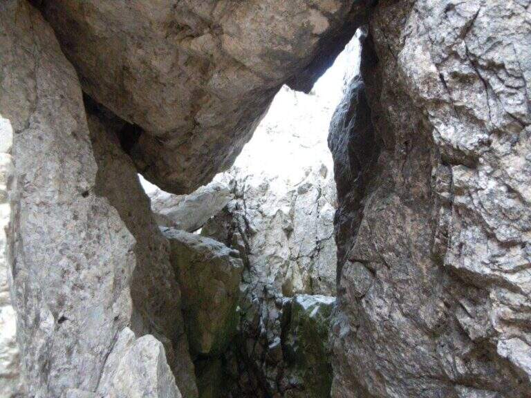
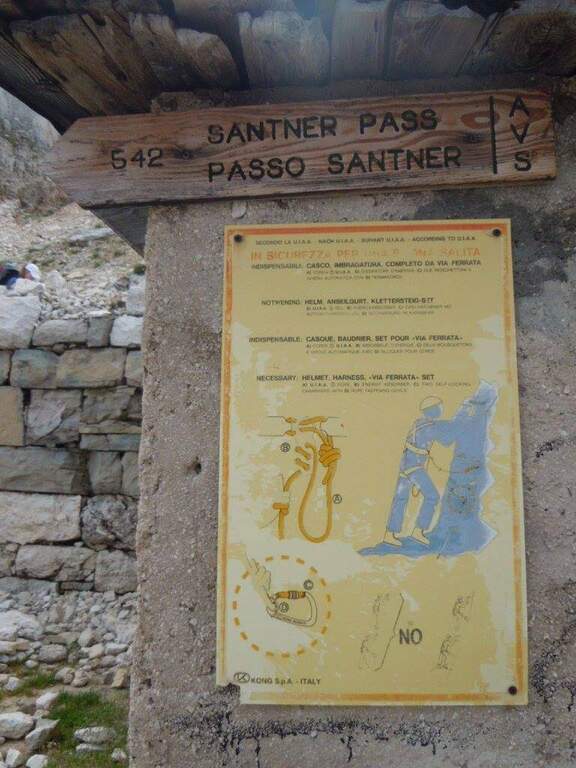
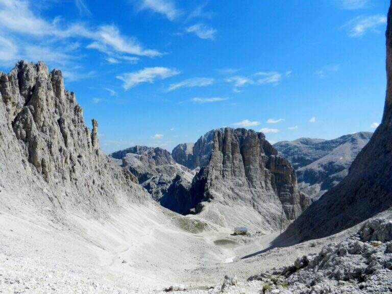
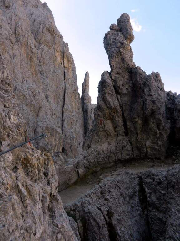
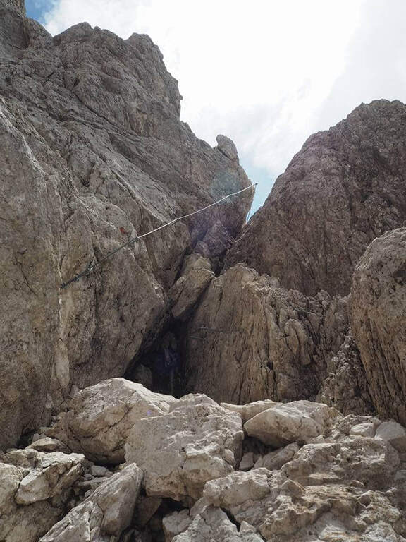
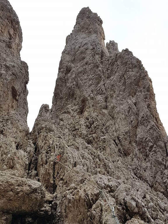
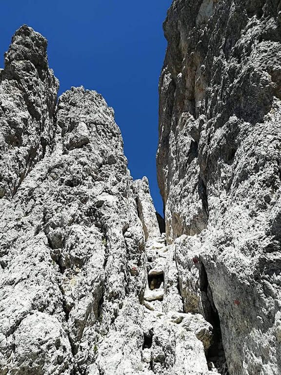
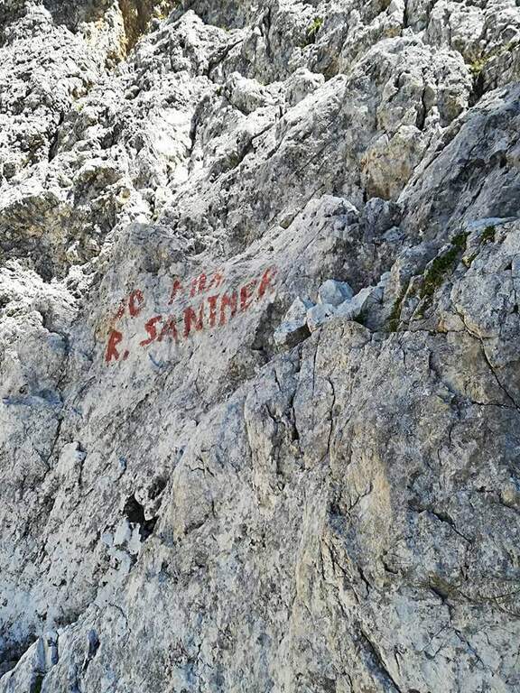
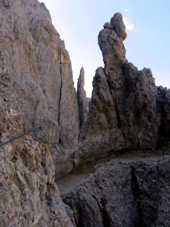
There are easy rocky balconies, blinds and transverses, then a pair of fireplaces potentially difficult but facilitated by ladders and cambres. It reaches a narrow fork that cuts the wall at the imposing Ago of Schroffenengger and passes on the opposite side, descending to a canal generally covered with snow: it is the key passage, with difficulty proportional to snowing. If snowed it is best to cross it immediately and climb it on the left side with artificial fixtures; in loose snow you cross it more comfortably diagonally. The channel is not prohibitive, but a possible fall could be fatal, because a little lower is interrupted by a jump of a few hundred meters; recently it was better equipped, reducing the risks. The canal with a wall of medium difficulty reaches an easy fireplace and a fork; the last stretch, but not difficult, leads to the Santner Pass, recognizable by the metal cross between the Catinaccio and the Croda di Re Laurino, with the small Santner Refuge (2734 m) just beyond (1h 45' from the attack, 2h 15' from the Fronza Refuge). From the refuge, view of the Vajolet Towers and the Gartl basin, descend to the Alberto I Refuge (2621 m) and then along the detritic valley to the Vajolet and Preuss Refuges (2243 m, 3h 15' total).
Altogether moderate difficulty: some initial steps are sprouted and rise in free on easy rocks, where mainly counts exposure (other than modest). Itinerary very popular in both ways: attention to debris by other hikers.
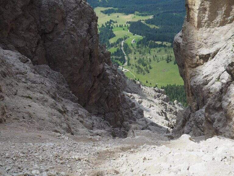
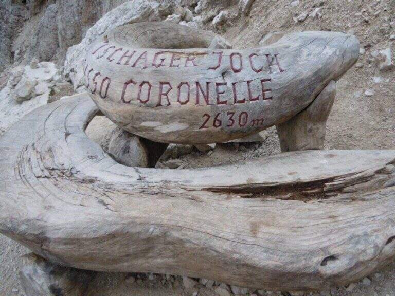
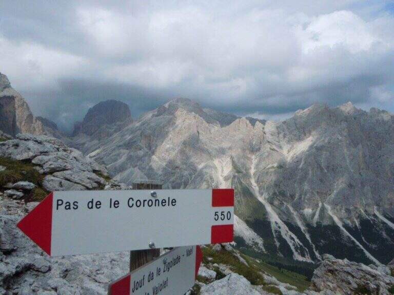
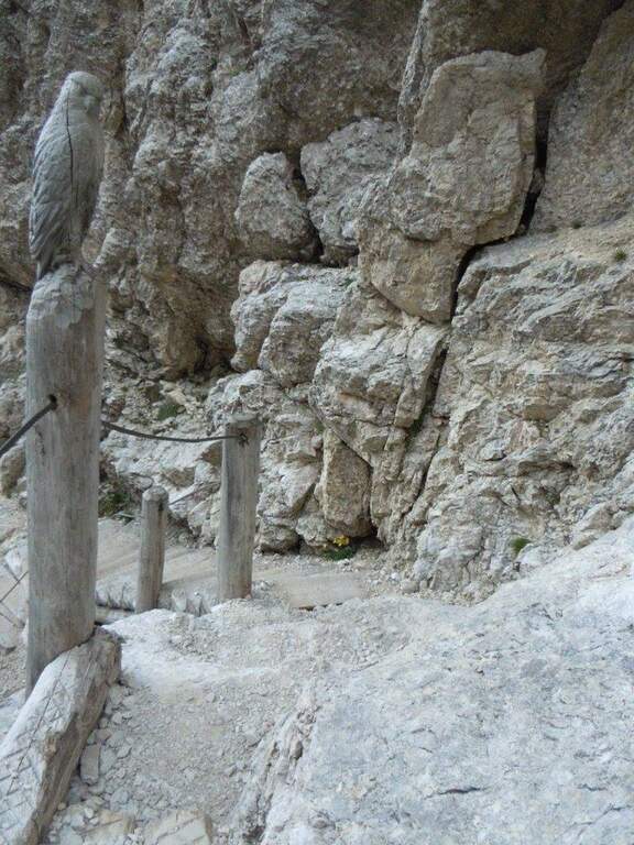
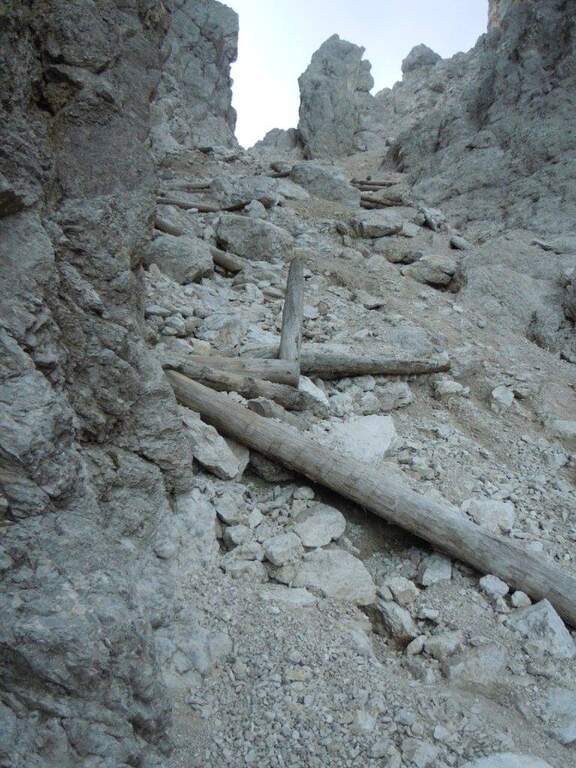
From the Vajolet refuge you stay on the right side of the valley, then right on the CAI 541 towards the Coronelle Pass, on grassy slopes and debris; at a crossroad you leave the 550 (left to the Gardeccia Refuge) and the 541 (right) holding the CAI 550, which rises steeply at the Coronelle Pass, recognisable by a singular wooden bench (1h 30' Vah). From the pass you descend steep (but not difficult) on the west side, on a detritic channel equipped with wooden steps and metal fixtures, up to the Fronza refuge and the cable car (1h from the pass, about 6h total).
The Catinaccio is rich in ways equipped with increasing difficulty. From the Vajolet Valley you can climb Ferrata del Catinaccio d'Antermoia (with the Scalette Path for a ring) or, more difficult, the Maximilian e la Laurenzi; to the south Ferrata Masarè.
- DifficultyModerately Hard
- RegionTrentino-Alto Adige
- GroupCatering
- Approach0:30 h
- Ferrata2:45 h
- Itinerary (a/r)6:00 h
- Hardware level difference150 m
- Route difference404 m
- Max2741 m
- Length8,2 Km