
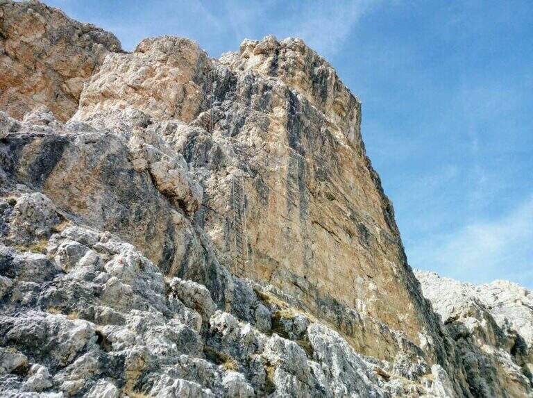
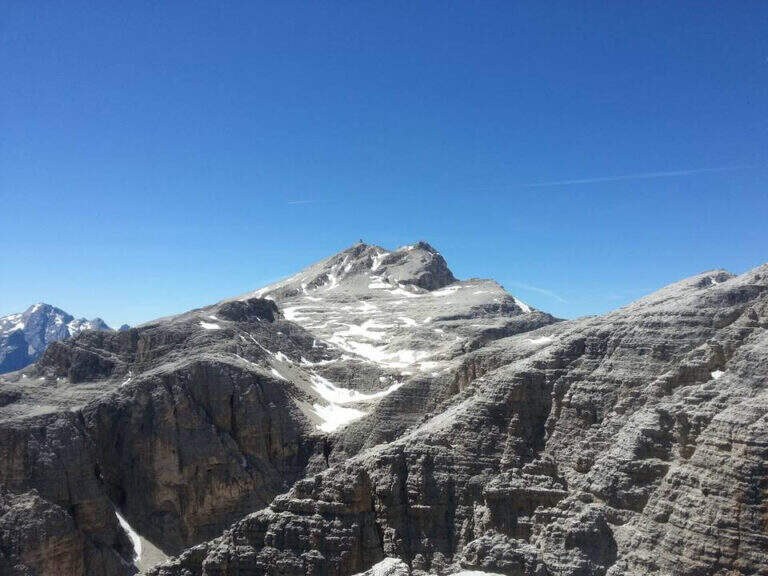
La Ferrata Piz from Lech rises a rocky bastion in the eastern side of the Sella Group to the peak of the Piz da Lech (2916 m), in the province of Bolzano. È a difficile street, short but intense, made very short by Corvara plants: it presents some athletic passages, two aerial stairs and a short suspended bridge, in an environment d’ high mountain with exceptional panorama from the top.
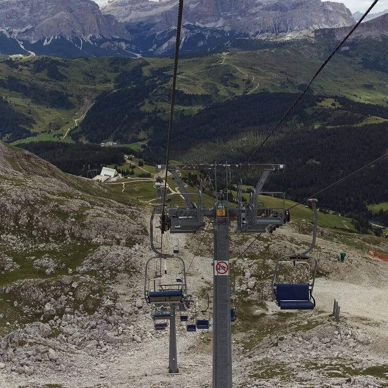
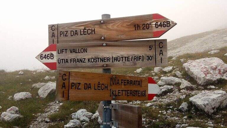
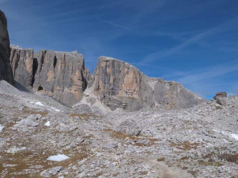
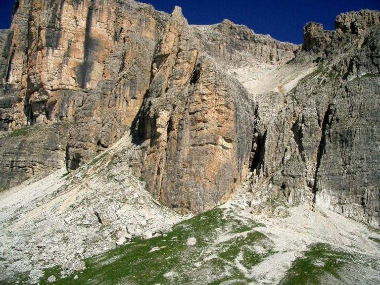
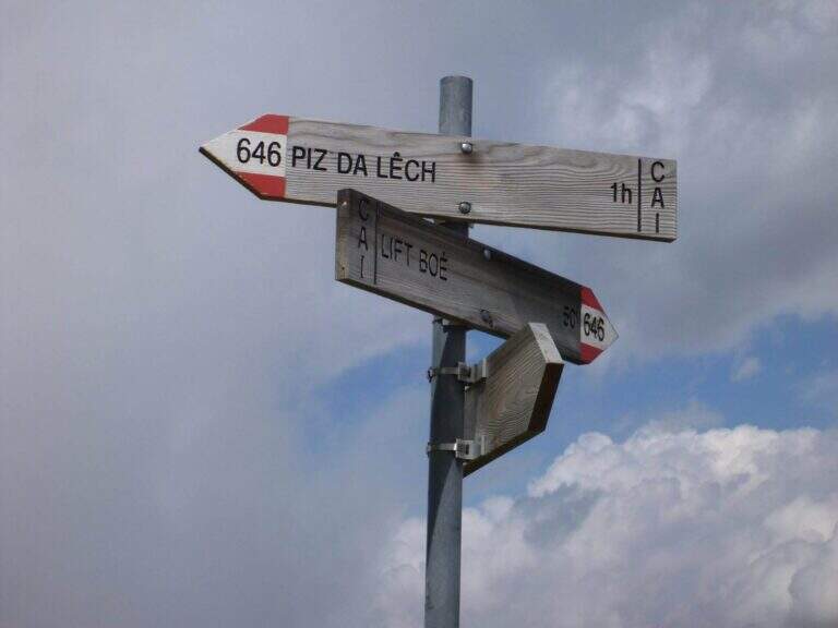
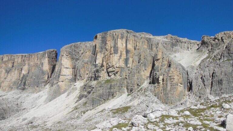
The starting point is the mountain station of the cable car that from Corvara (Val Badia) climbs first to the Crep de Mont and then to the Vallon (2537 m; open the starting point on Google Maps). Alternatively, from Passo di Campolungo (between Arabba and Corvara) you can park at l’ Boè Tree; (1860 m) and climb the wide CAI 638 path to the upstream station of the chairlift (1h 15′ from the pass). Exit from the chairlift you ignore the signs for the normal road (646B) and follow the signs to the north, in the direction of a detritic valley where you turn left uphill until all’ attack, under a characteristic yellow-black rocky wall (2560 m, 15 minutes from the mountain station).
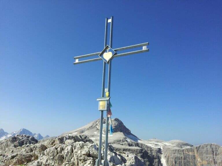
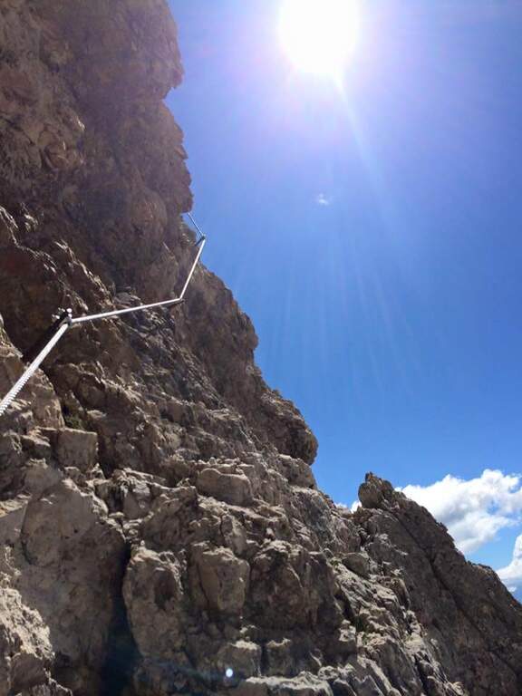
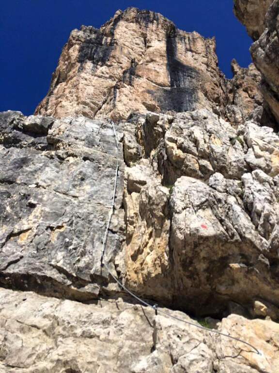
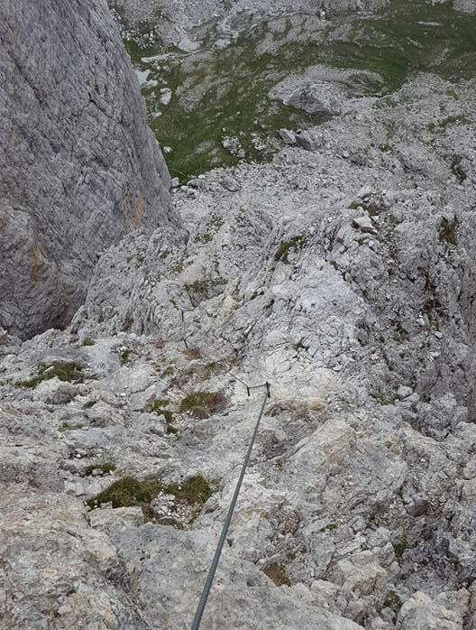
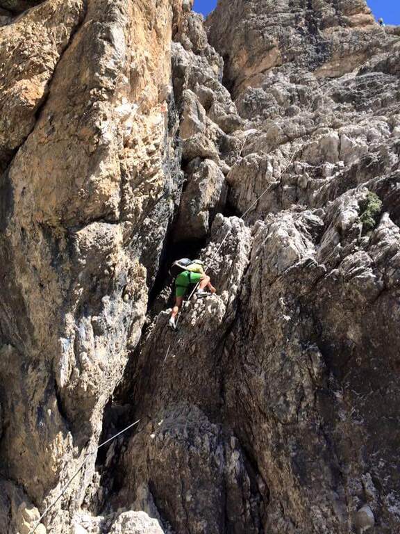
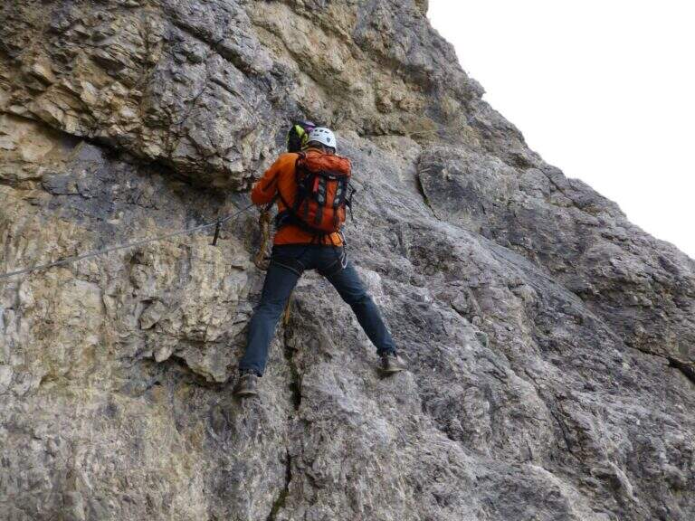
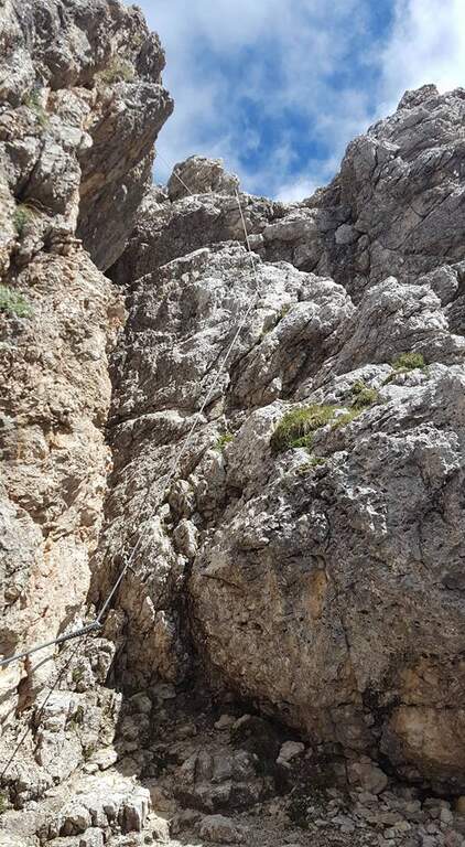
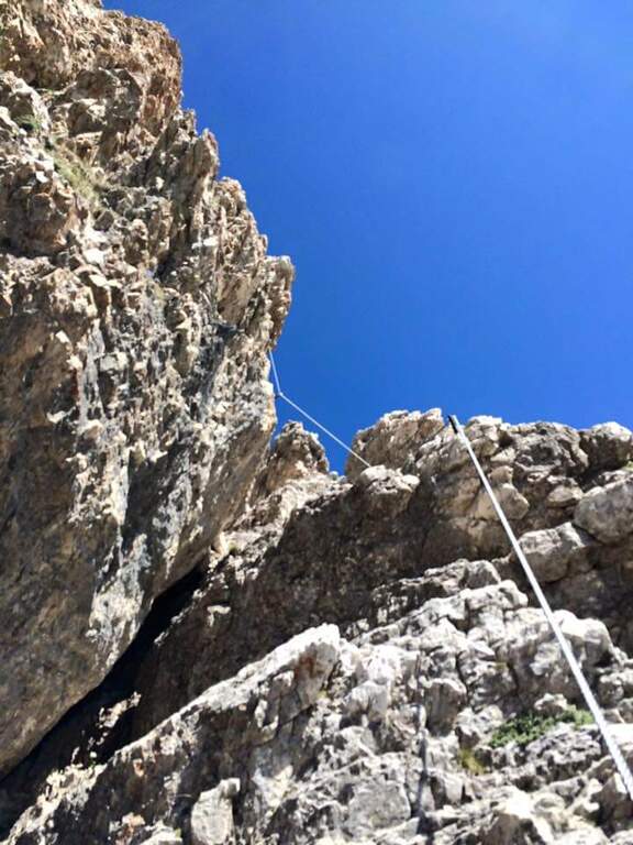
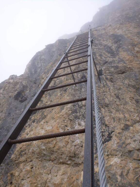
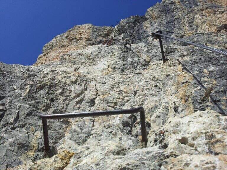
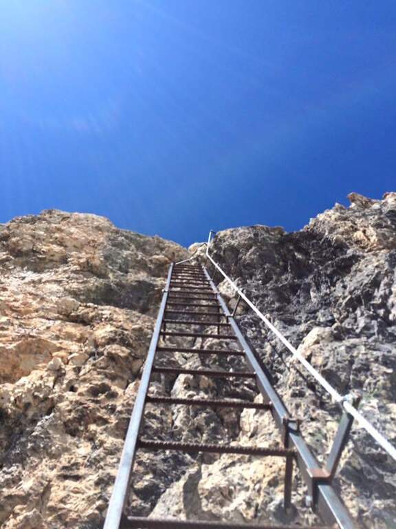
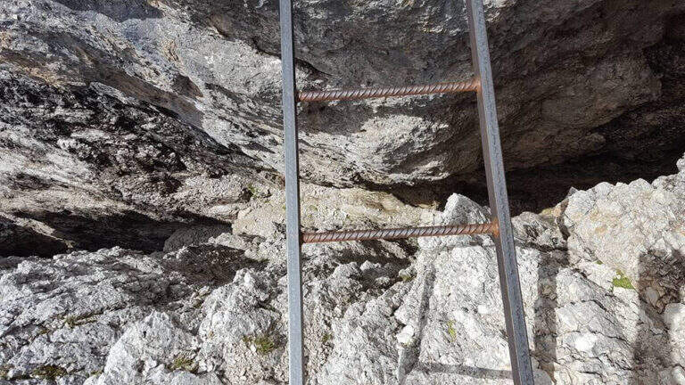
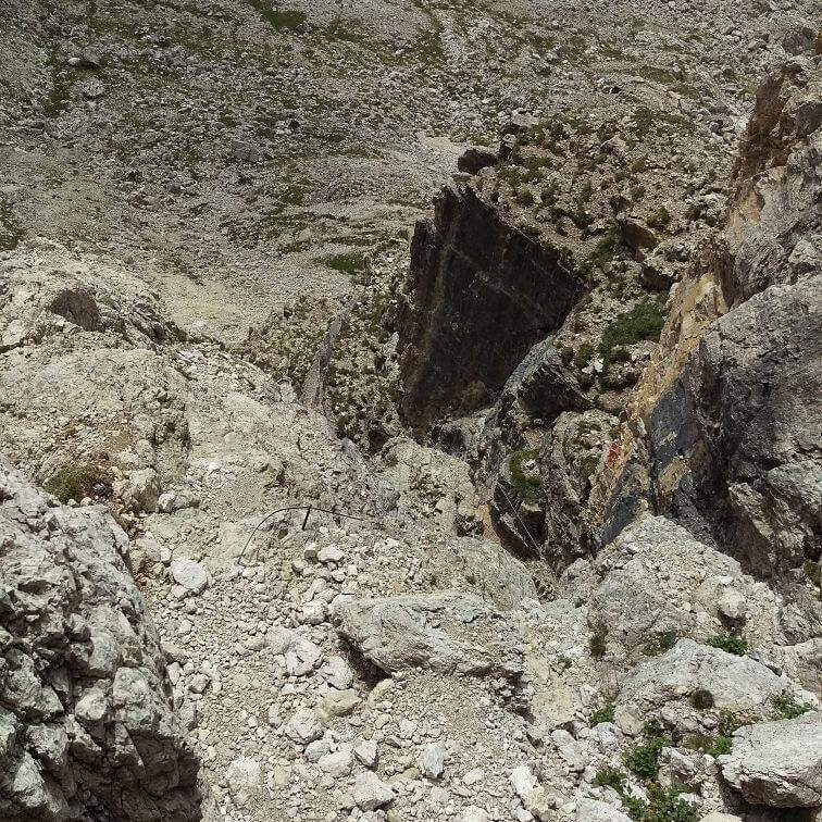
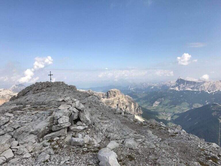
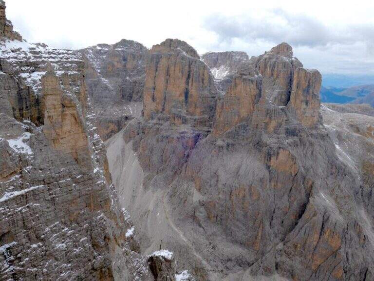
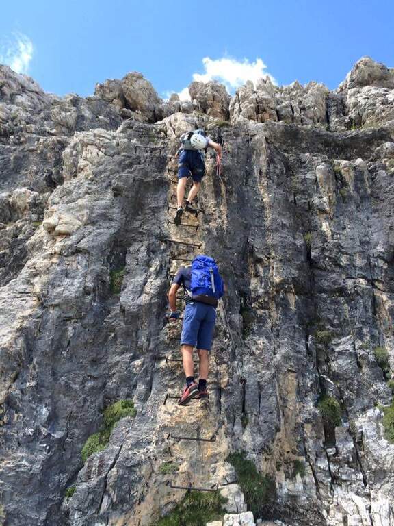
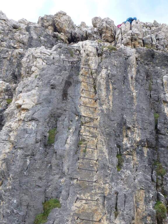
The ferrata opens with a rocky leap of difficult-to-grave media; and without obvious claws, then an easy nod on the left and some not difficult steps. On the left side a corner with a census, you will meet new leaps under l’ looming black-yellowish bastion; climb up vertically and stick into a long channel , holding the right side on rocky steps. Where the channel is tightened, there are about fifteen vertical meters, then a short but exposed and challenging across to the right bypasses a edge up to a nod. Follow the più pass; challenging: a fireplace that climbs first on the right side and then passes left with a leap, complex in the initial part for the lack of supports, which gradually rise up. Some exposed rocks lead to the più point; iconic of the street: under the rampage rise two scales interspersed with a rock-mounted plane; finished the second ladder, a challenging passage helped by brackets. In the closing section there are exposed rocks and a ramp up to the summit ridge; after a stretch with the right equipment and a short path, you will meet a breve suspended bridge (a horizontal ladder above a narrow crevice), exposed but not difficult. A short wall well-dressed (often wet) and some rocks put on the final, unequipped path, which carefully leads to the peak cross of the Piz da Lech (2916 m, 1h 45′ from the’ attack, 2 hours from the mountain station), with magnificent views of the Sella Group, the Piz Boè and the Val de Mesdì.
Classified Difficile (D), with all the parameters of complextà on 3/5: short but intense, with a couple of athletic steps where you need a good point or a discreet climbing technique (some strokes of III-IV degree, however climbing). Not è extremely difficult, but requires good preparation and experience. Harness obligators, hardware kits and helmet.
High altitude summer road, to be covered with stable weather and dry rock. The equipment is in good condition, recently renovated. Check the opening and hours of cable car and chairlift (serve the return ticket); those who walk up from the Campolungo Pass put into account a longer and tiring approach.
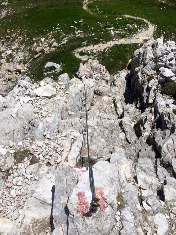
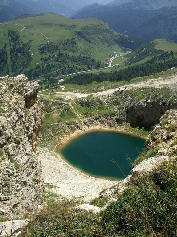
From the summit you descend to the south along the normal road, marked by the white-red boils of the CAI 646, on the swallows of the south side; a couple of equipped passages are passed down (a vertical wall of 6-8 meters with brackets and a short set of rocks). A crossroads are reached with the CAI 646B: on the right you will descend a fragrant canal up to the path d’ approach and then to the chairlift (45′ from the summit, 2h 45′ overall); or continue on the CAI 646 along a ridge above Lake Bo` up to the mountain station of the cable car.
The Piz da Lech fits perfectly with the neighbor Ferrata del Vallon, possibly by staying at the Kostner Refuge. Continuing to half-costa you reach the attack of the impegnative Ferrata Piazzetta piz Boè. On the Sella Group Ferrata Tridentina e la Ferrata delle Mesules. In Val Badia la Ferrata Sas dla Crusc e la Ferrata della Pace.
- Approach0:15 h
- Duration1:45 h
- Total itinerary4:15 h
- Hardware level difference200 m
- Route difference371 m
- Maximum altitude2911 m
- Length2,2 Km