

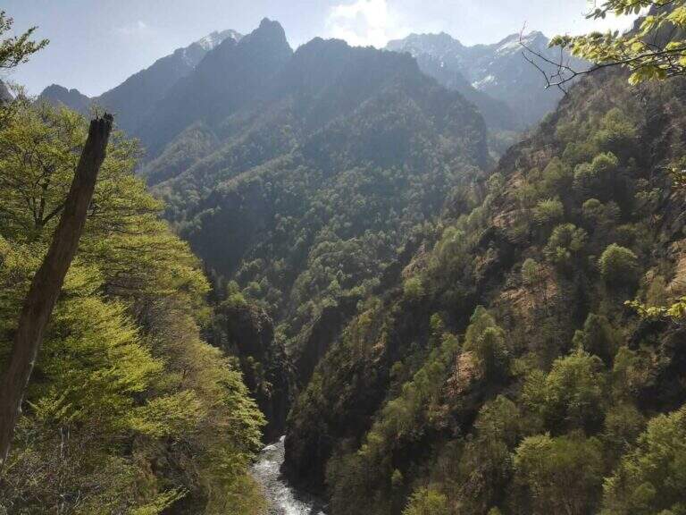
Inaugurated in 2022, la Ferrata Selvaggio Verde along the long bore of the Rio Val Grande connecting with many stretches equipped «In the Piana» e «Ponte Velina». Non è né a modern né ferrata; a dolomitic way, but a long itinerary «selvaggio» in the heart of one of the più parks; beautiful in the Central Alps. Difficultly accessible on the day, it should be broken in two days using d' points; support along the route. The classification « always difficult to understand; is valid only for the equipped sections: to make it really challenging are the length and distance, for experienced and well trained hikers.
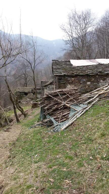
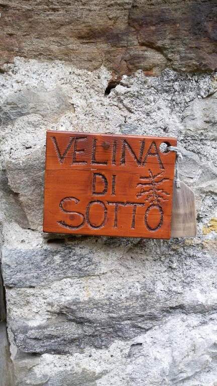
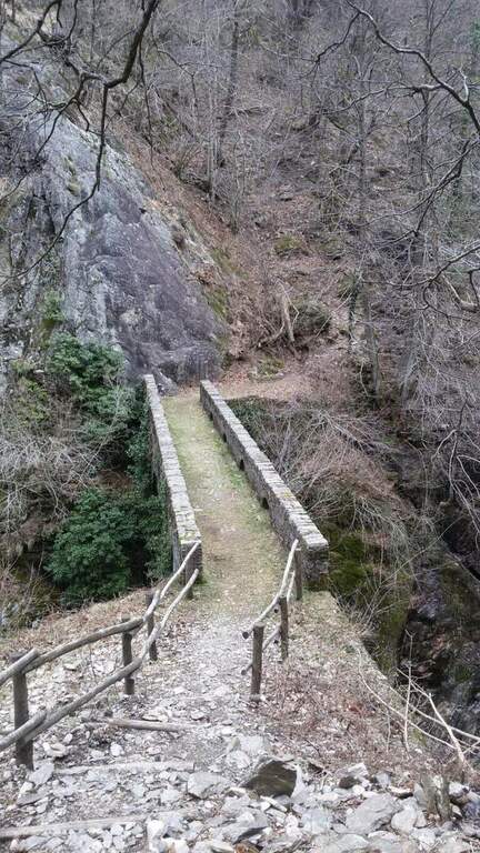
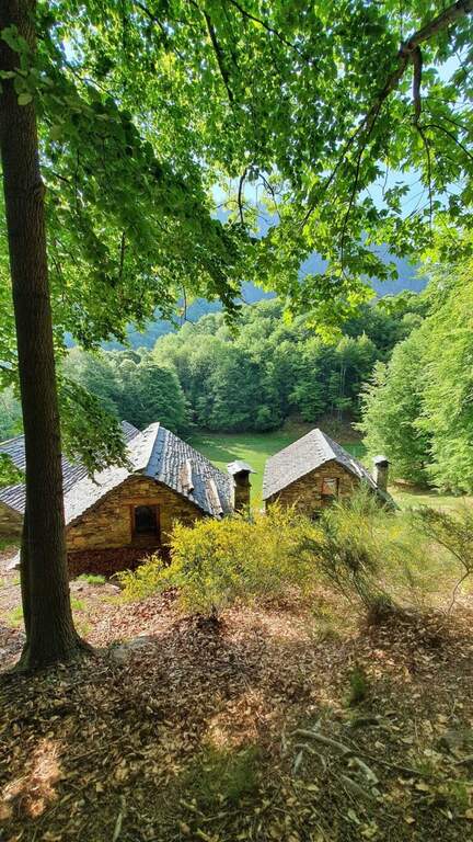
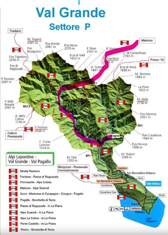
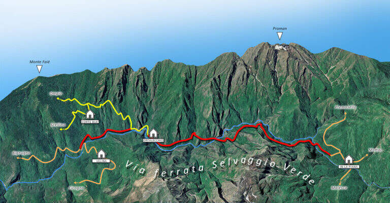
L' itinerary can be arranged by più points; here we consider the departure from the village of Cicogna (VB) towards In La Piana and then down to the Loana Valley. Open road signs on Google Maps. The non è : l' ideal è have two cars. At the cemetery of Cicogna there is a dirt road for about fifteen minutes on a false plateau, over huts and alpine pastures, tillché it becomes a path that enters the park of the Val Grande with a series of uphills between ruins and old huts (some stretches già equipped for safety). Enjoy the Velina stream, you reach the ' Velina mountain pasture and then the Ponte Velina (about 3h from the parking lot), where the real route begins.
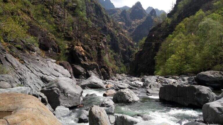
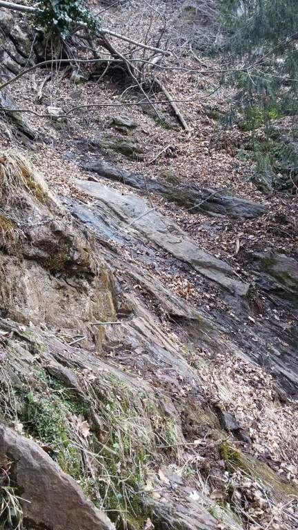
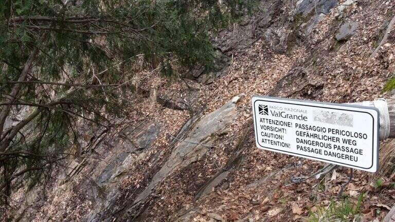
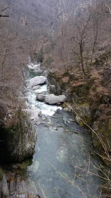
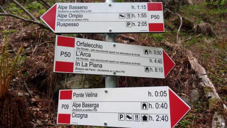
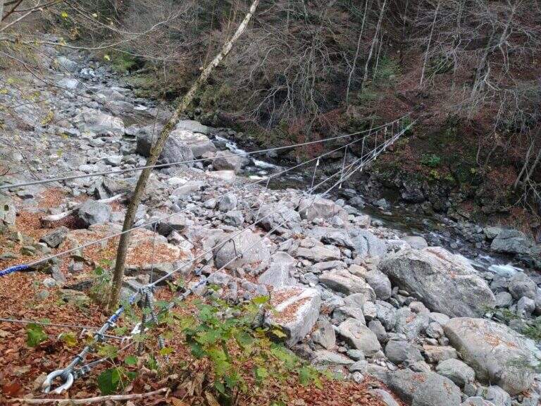
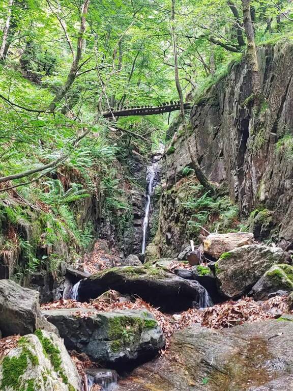
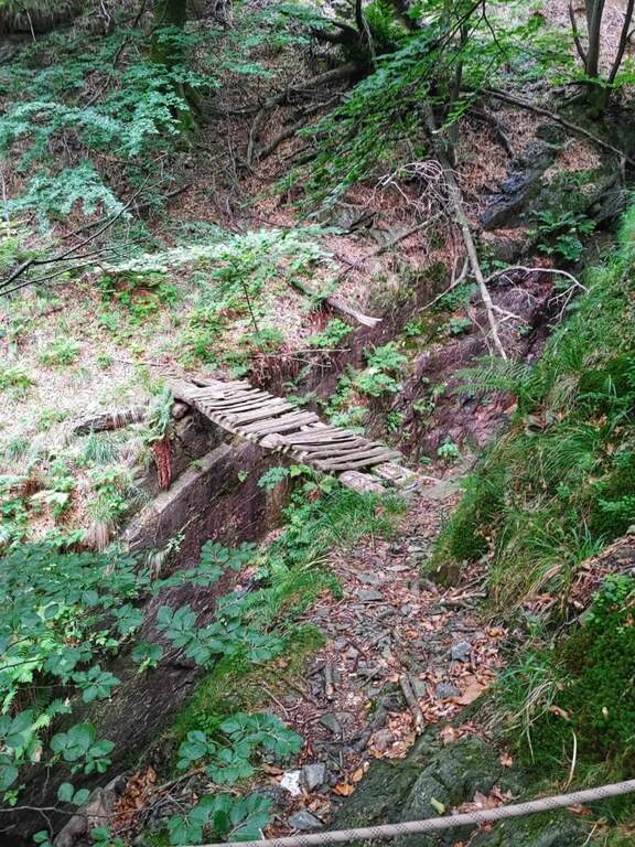
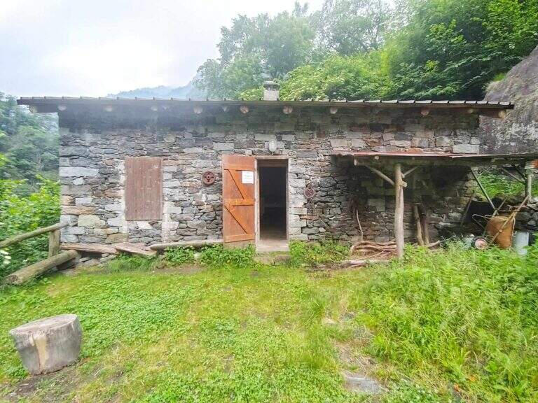
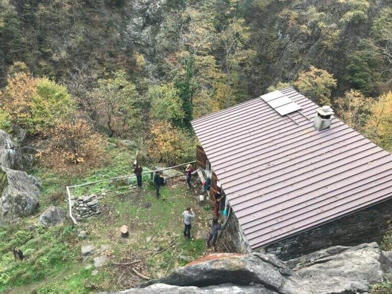
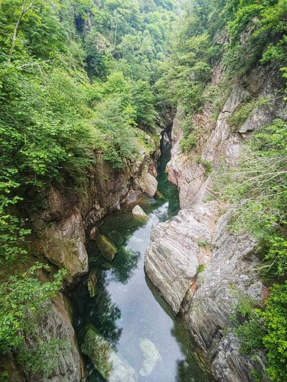
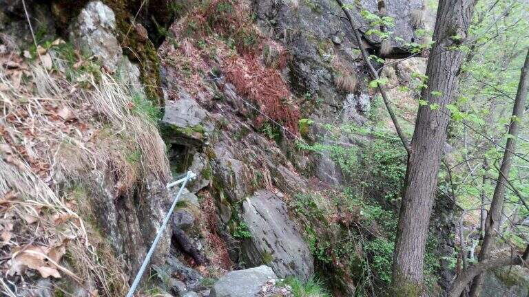
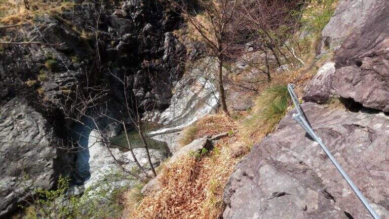
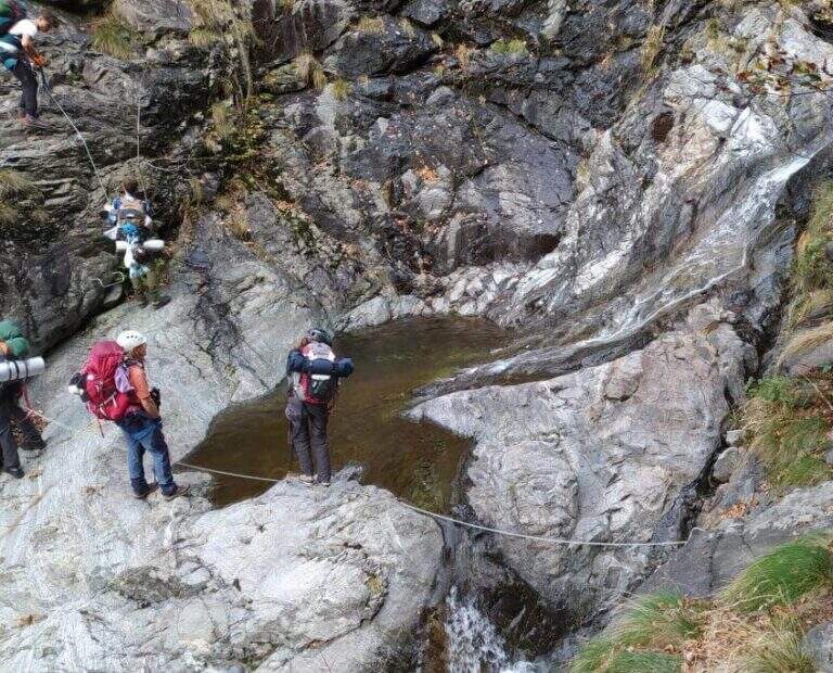
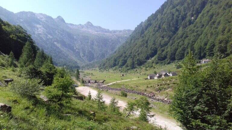
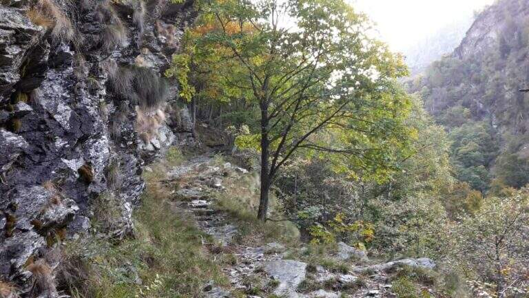
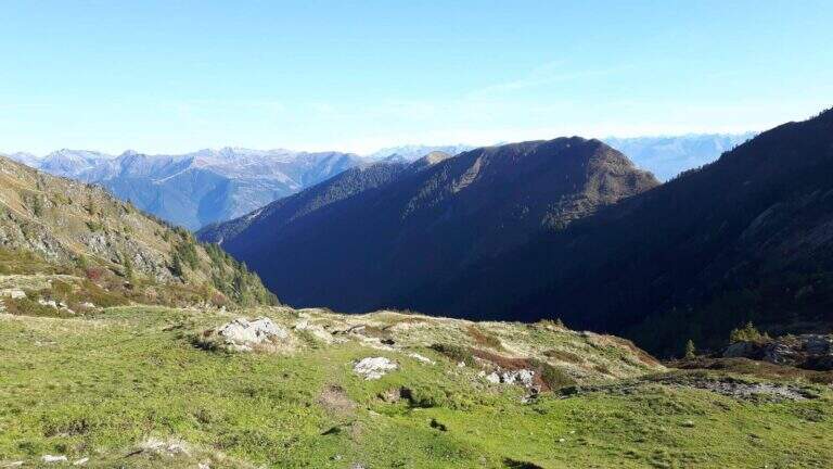
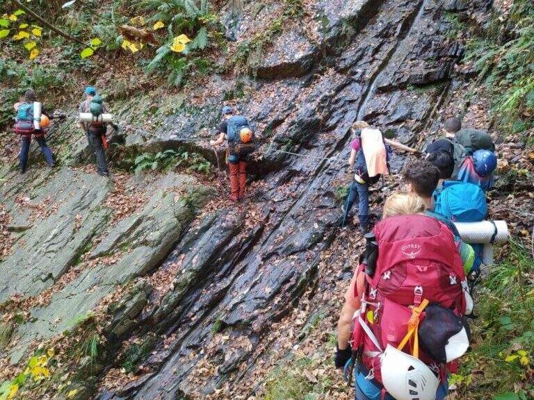
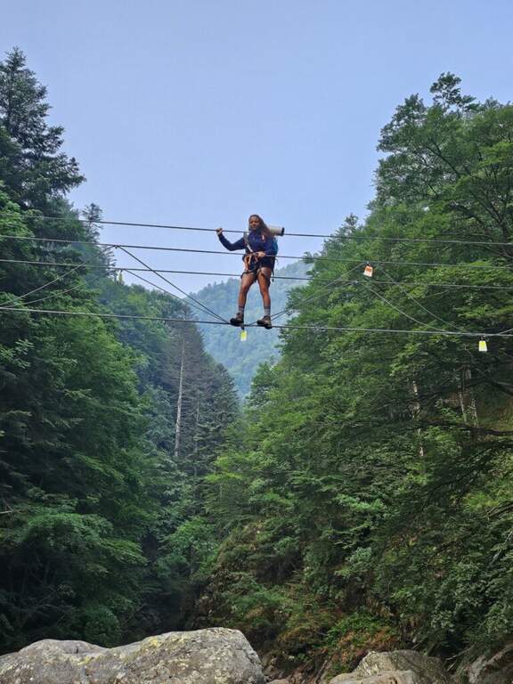
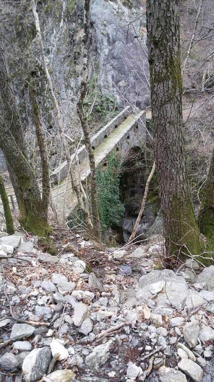
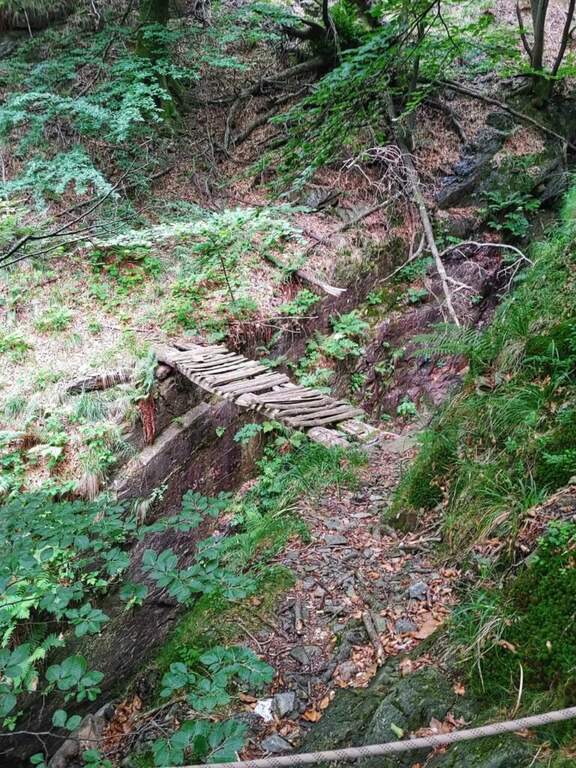
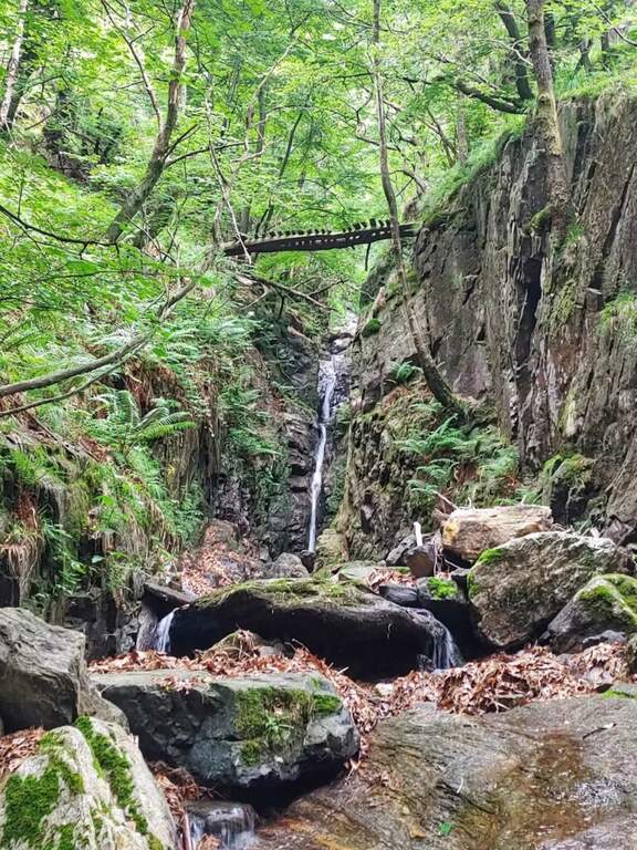
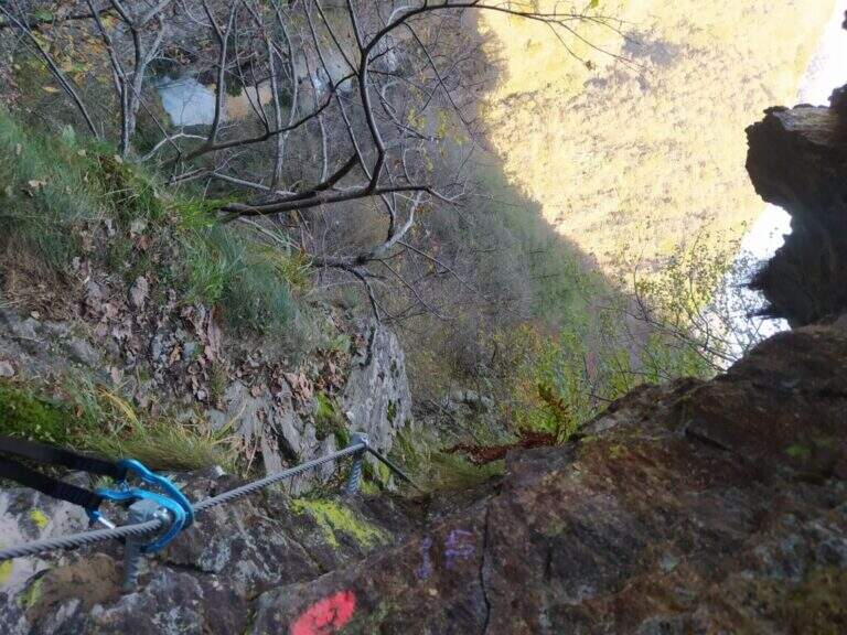
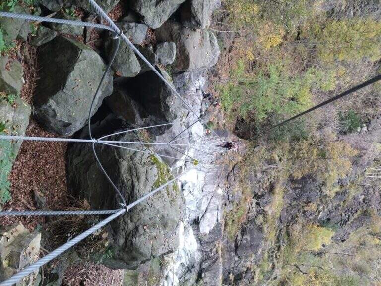
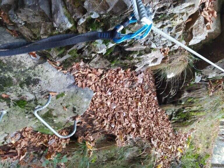
The fully equipped stretch takes place between Ponte Velina (478 m) e Alpe In La Piana (895 m), faithfully following the Rio Val Grande in an isolated and wild environment. The distance is about 11 km for about 450 m of altitude difference, but among the continuous climbs the real difference is much greater. The equipped path is marked P50 and alternating stretches exposed to other exposed unprotected, with 2 suspension bridges, several wooden walkways rather old (to check its on-site hold), ladders and long stretches of path. About a third of the route, after 2h 30' from Ponte Velina, there is a stone bivouac in localities; Orphalecchio (590 m); just before a possible return route to Ompio and Sciellina, on the left, avoids the hole and the equipped sections. The road continues along the valley between very green walls, cliffs and exposed paths, with suspended bridges and a couple of cheeks; it is necessary to follow the red stamps and a trace at times hidden by the high grass. After about 7-8 hours from' start of the equipped section you reach Alpe In La Piana, where you can può bivacking (about 10h total).
More than a ferrata, it is a long wild trekking with numerous stretches equipped, exposed and at times slippery.
Given the absence of managed support points it is highly recommended to bring a map of the area to orientation (for cartography, map of Val Grande). Alternative starting points: Bignugno, Ruspesso or Sciellina; alternative return to Premosello or Mottac. The itinerary can also be routed in the opposite direction. An official GPS track is not available for this route.
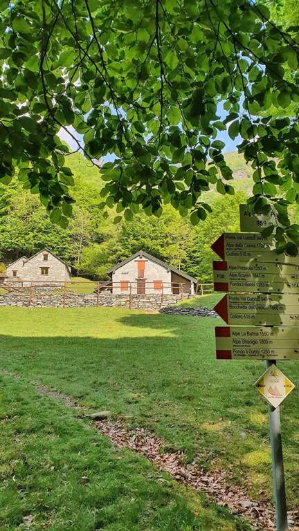
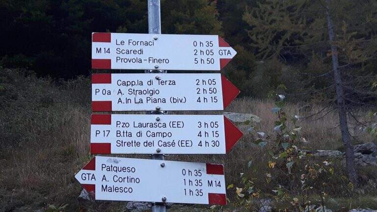
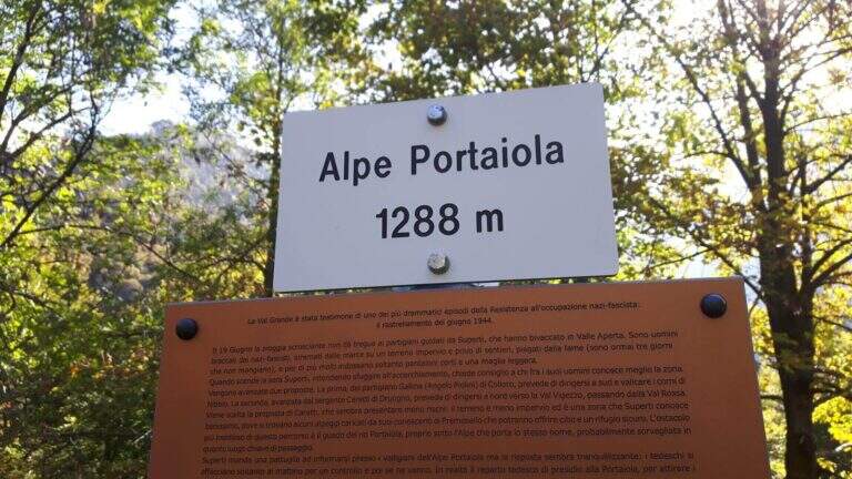
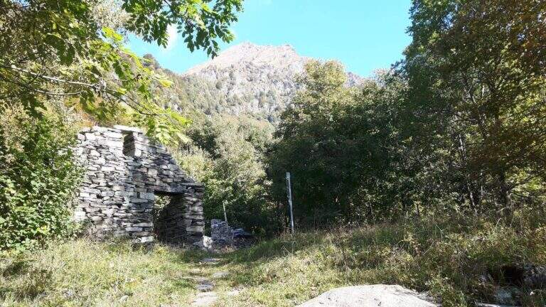
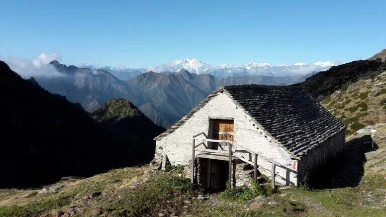
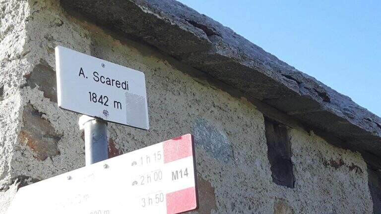
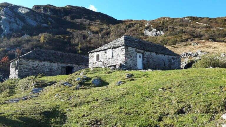
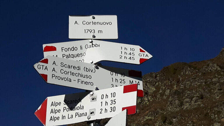
Da Alpe In La Piana, per raggiungere il parcheggio in Valle Loana si calcolano circa 4h: si segue il sentiero P30 verso Alpe Scaredi e poi l'M14 verso Fondo Li Gabbi, dapprima in salita toccando Alpe Portaiola (1288 m, ruderi), Alpe Scaredi (1842 m) e Alpe Cortenuovo (1793 m), quindi in discesa (circa 14-15h complessive).
In Val Grande there are no real ferrates; wanting, between the streets of the Verbano and the Ossola signal the new Ferrata di Montorfano e la Ferrata Walserfall not far from Cicogna; further north the long climb of Ferrata at Pizzo d'Andolla; on Lake Maggiore Picasas e la Miccia near Baveno.
- DifficultyModerately Hard
- RegionPiedmont
- GroupVal Grande
- Approach3:00 h
- Ferrata8:00 h
- Itinerary (a/r)15:30 h
- Hardware level difference450 m
- Route difference1500 m
- Max1842 m