
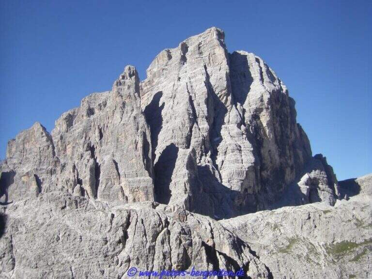
La Ferrata Strada degli Alpini walk through a splendid itinerary in the Sesto Dolomites, going up the eastern slope of Val Fiscalina Alta from the Comici Refuge to Forcella Undici along the historic Cengia della Salvezza of the Great War. For large sections there is no particular difficulty; although exposed; ` a very long ring with high altitude difference, to be prepared with care and to go only if well trained.
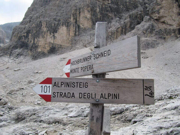
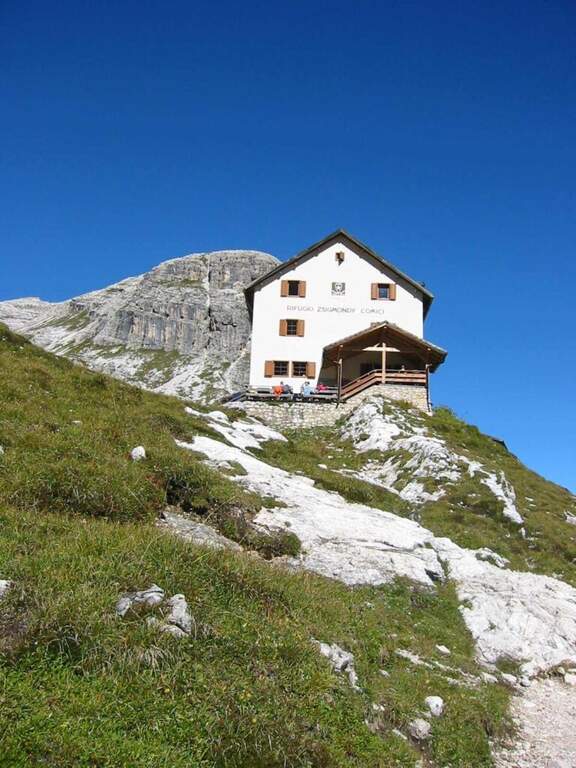
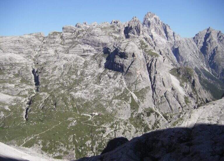
Starting point l' Hotel Dolomitenhof in Val Fiscalina (1454 m), reachable from Moso in Val Pusteria. Open road signs on Google Maps. Follow the 102 road towards the south to the Rifugio al Fondo Valle (1548 m, 30'), then always 102 towards the south-west and at a crossroads you keep the left on the path 103 towards the Rifugio Comici, climbing along the left of the Val Fiscalina Bassa (on the opposite side you can see the ridge of the Strada degli Alpini) up to the Rifugio Comici (2224 m, 2h 30' from the parking ). From the hut continue on the 103 south, downhill and then on the left towards Forcella Giralba, on the left side of the Croda dei Toni; before the fork you will meet on the left the path 101 towards Monte Popera. Going up towards a fork and going down a few meters, at a crossroads (on the right the normal Popera) continue north to half-coast until the census of the' attack (1h from the Rifugio Comici).
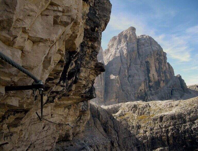
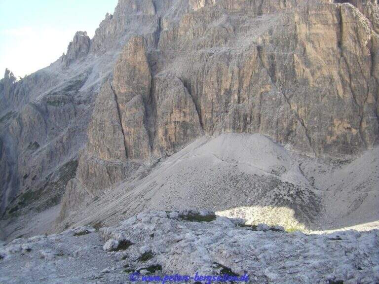
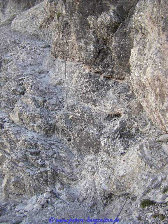
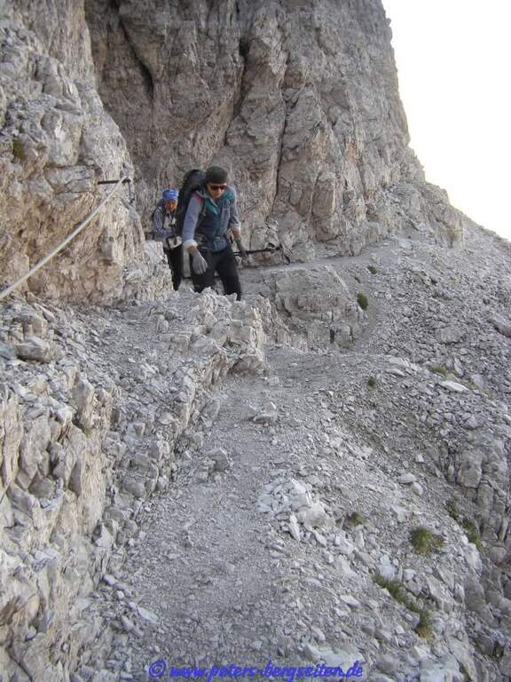
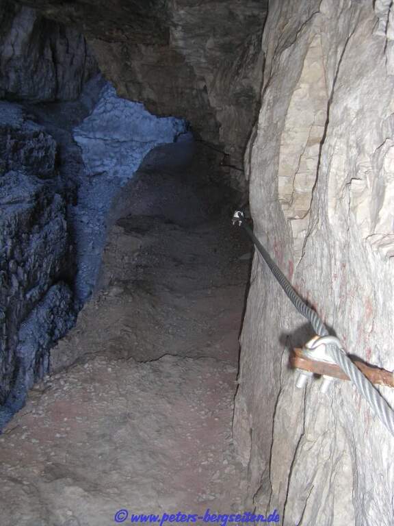
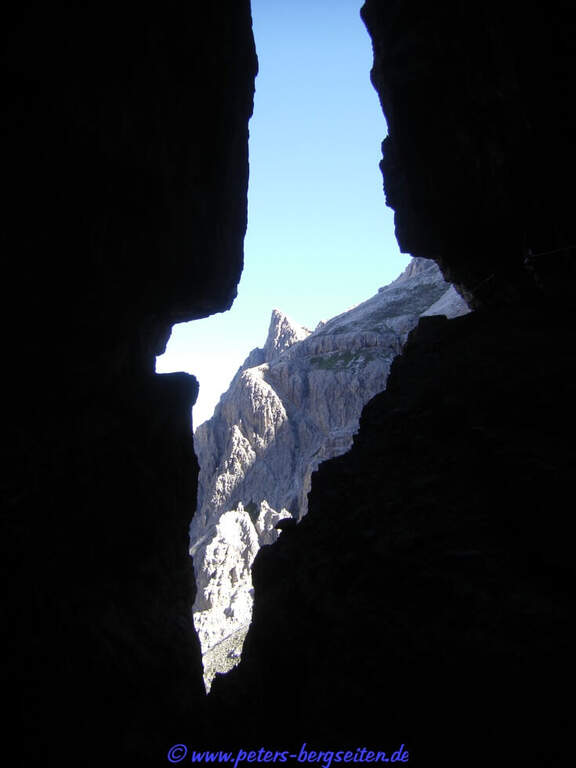
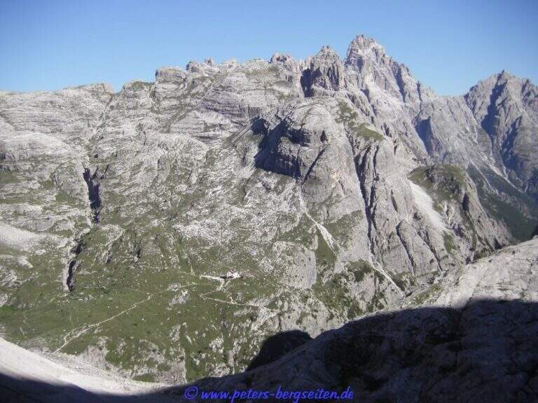
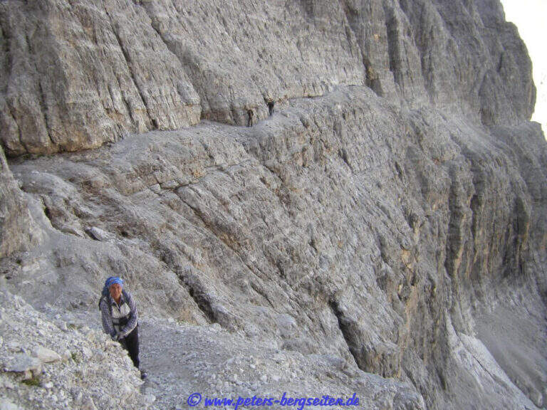
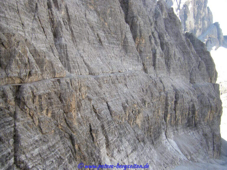
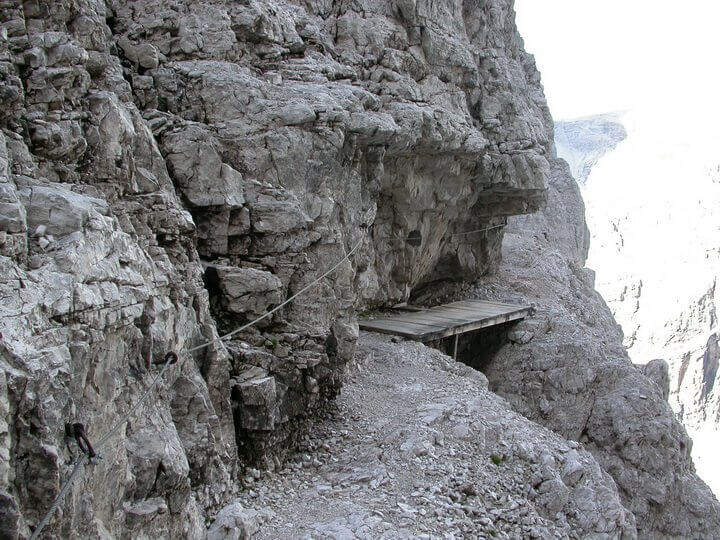
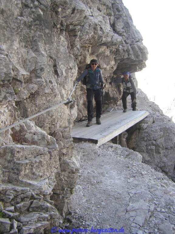
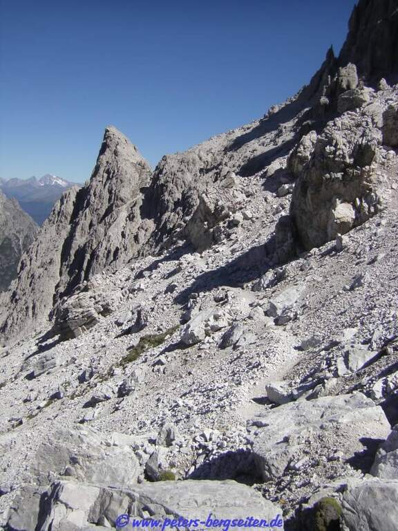
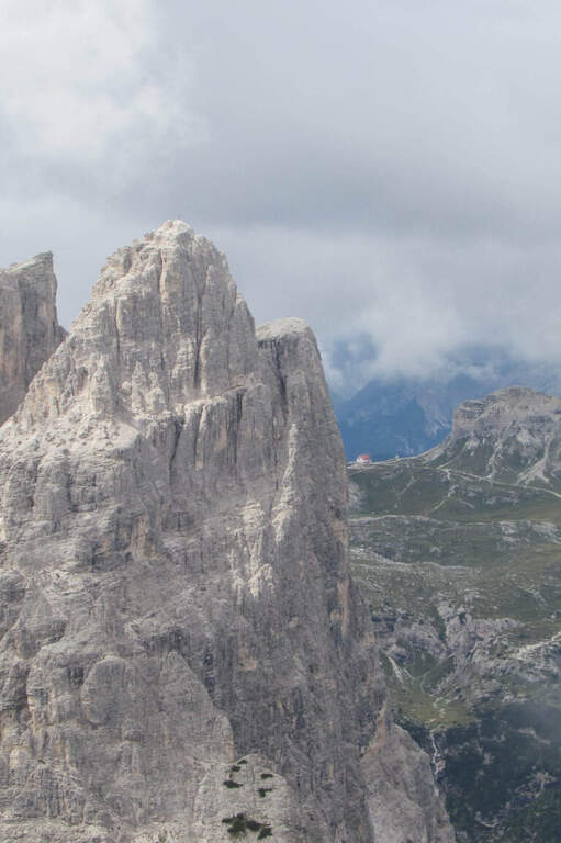
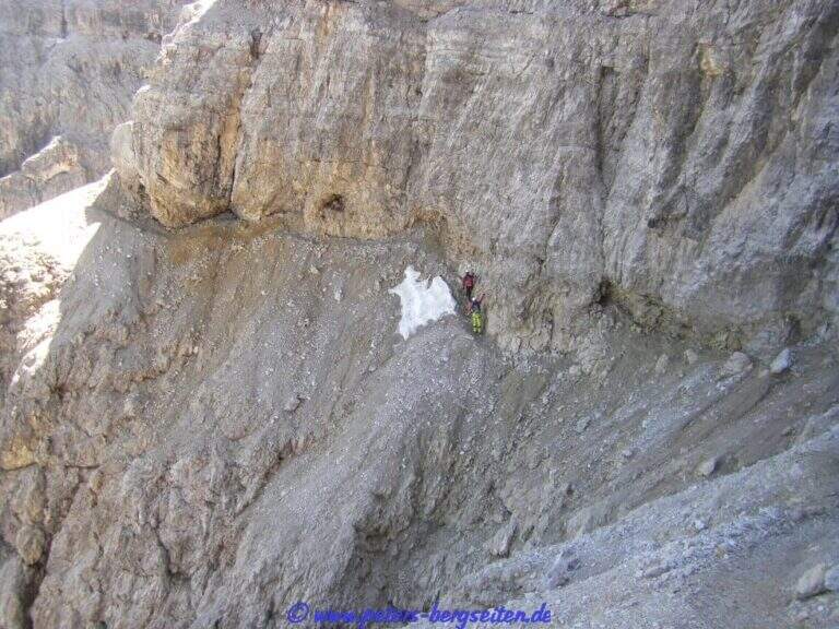
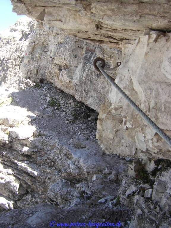
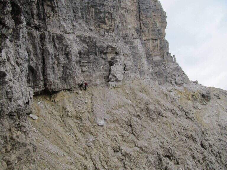
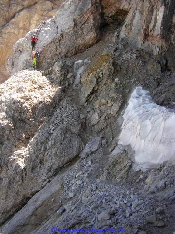
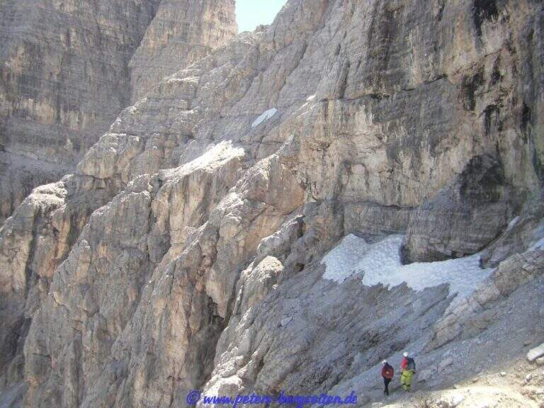
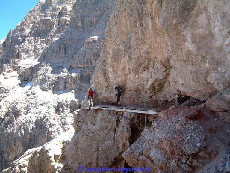
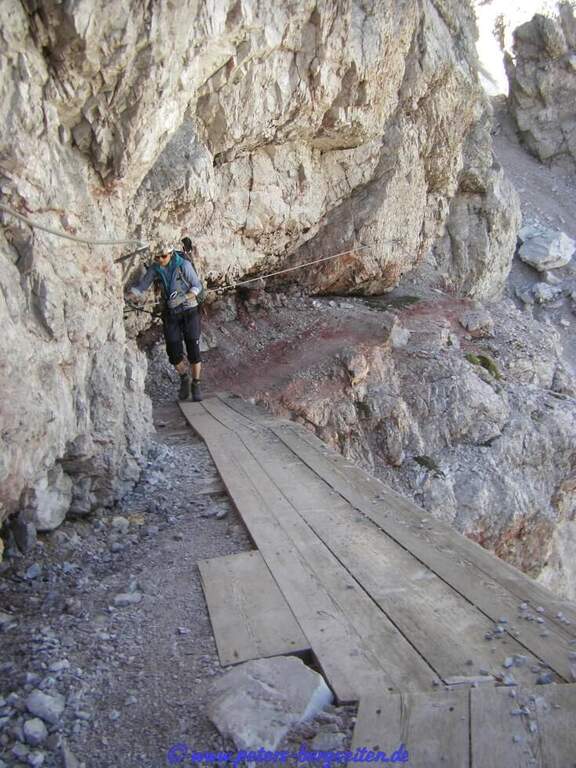
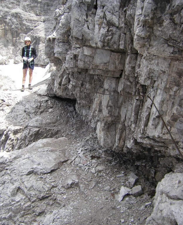
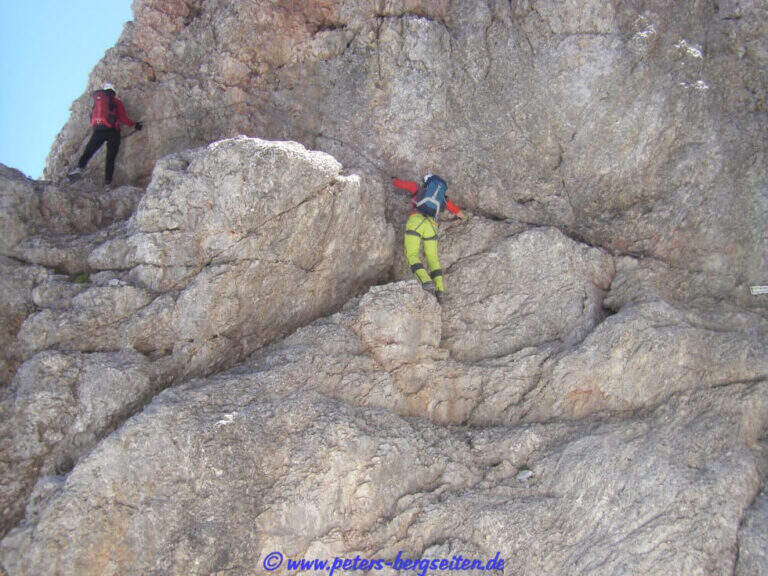
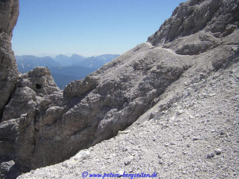
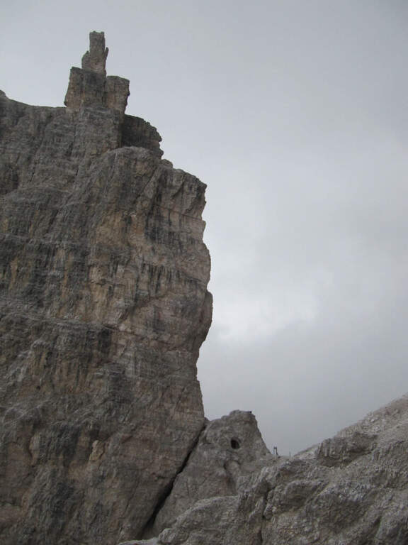
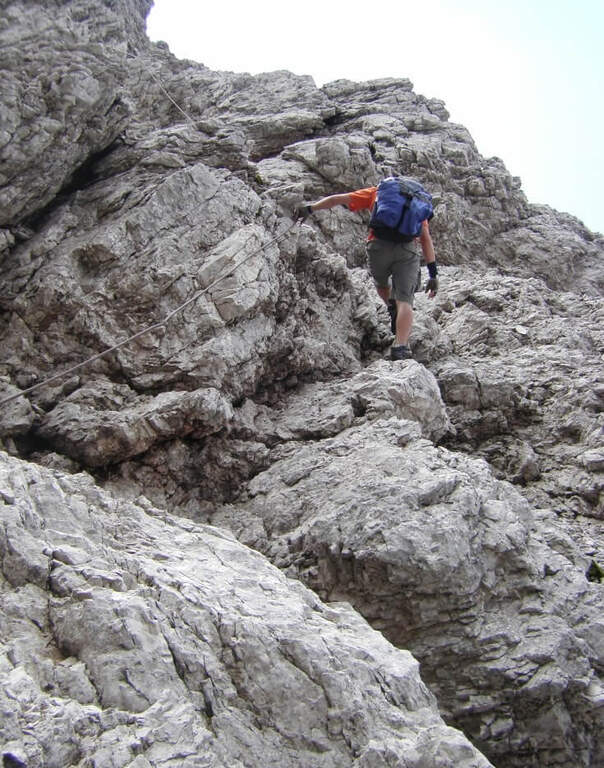
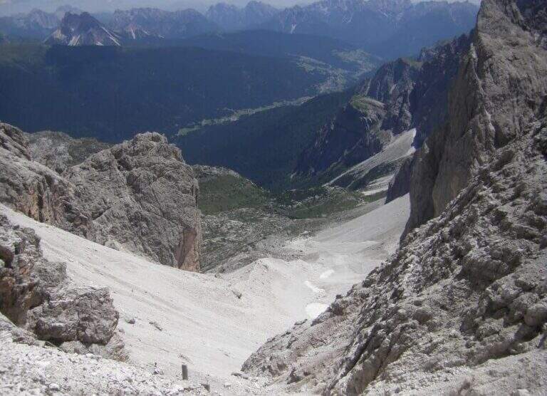
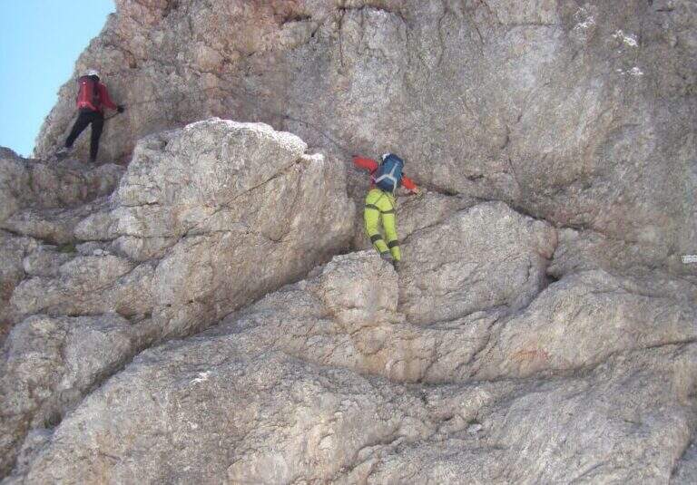
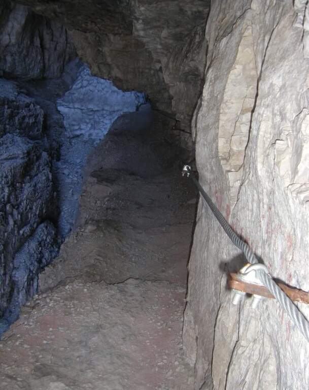
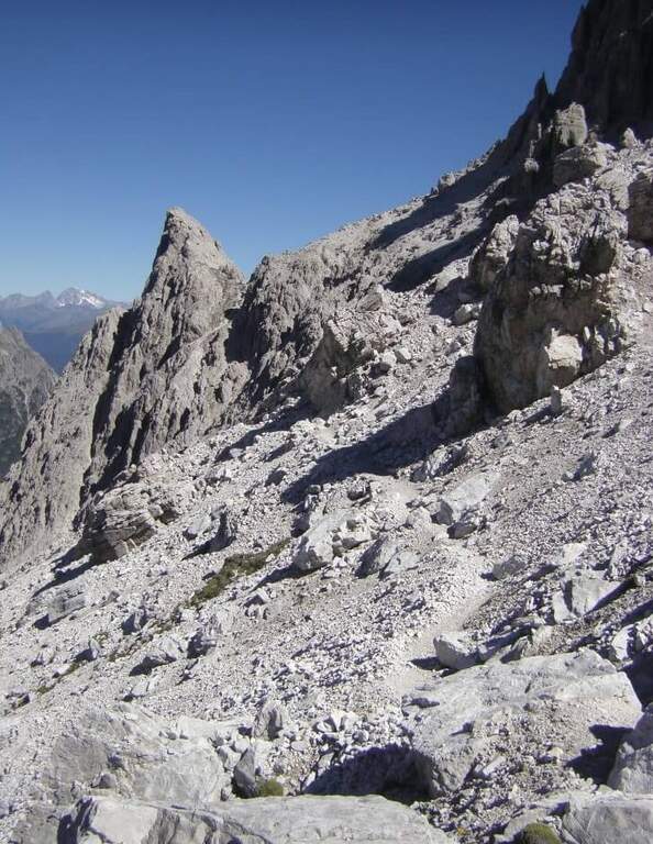
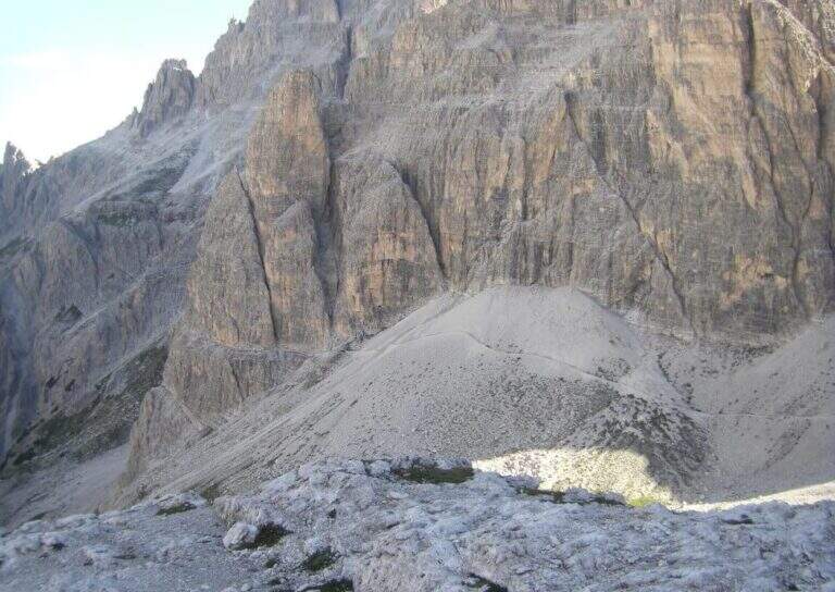
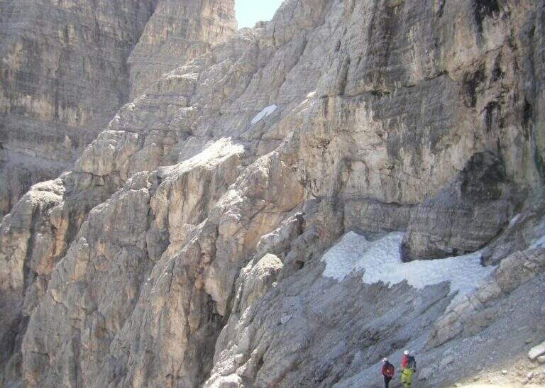
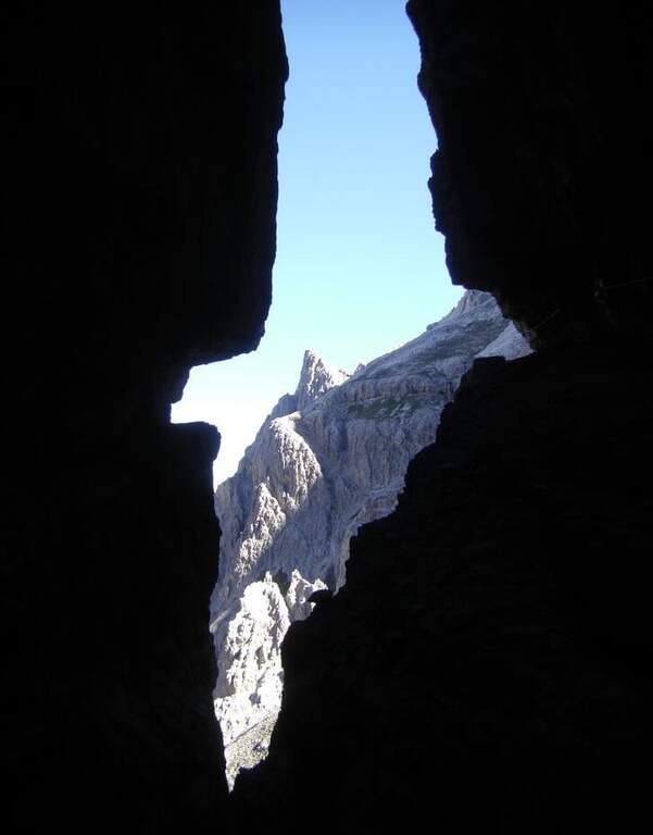
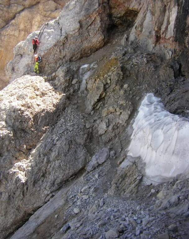
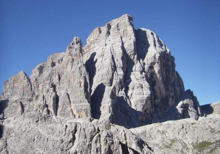
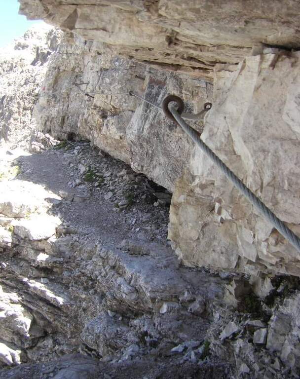
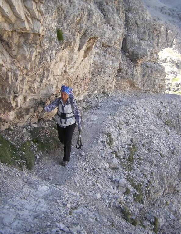
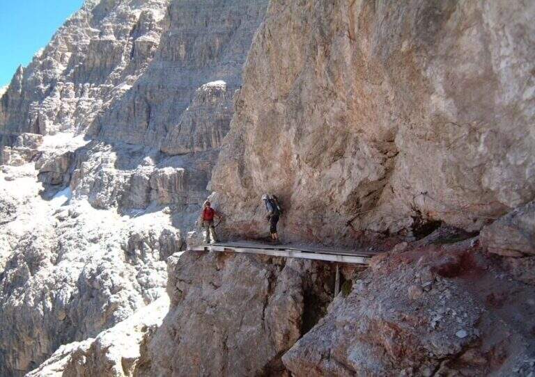
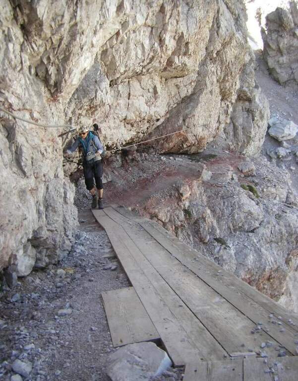
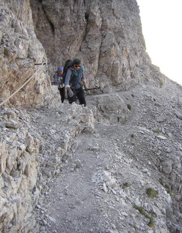
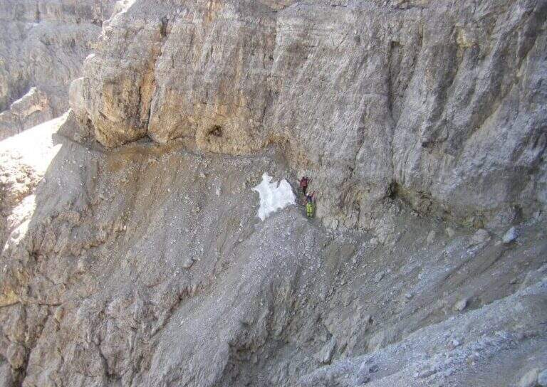
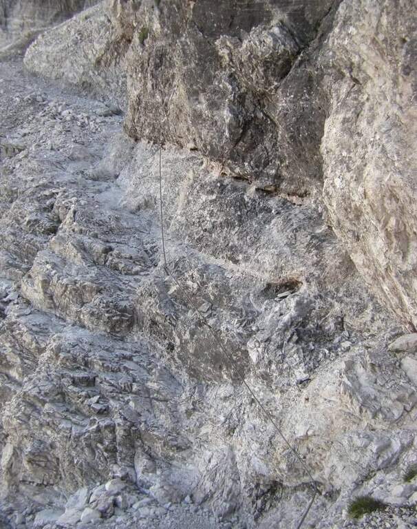
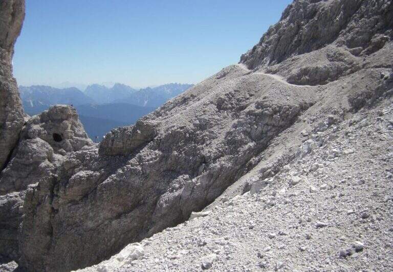
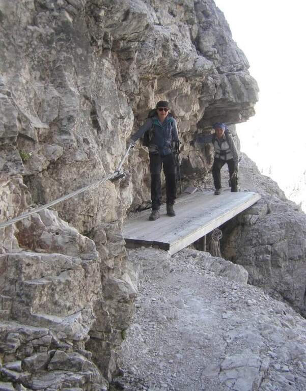
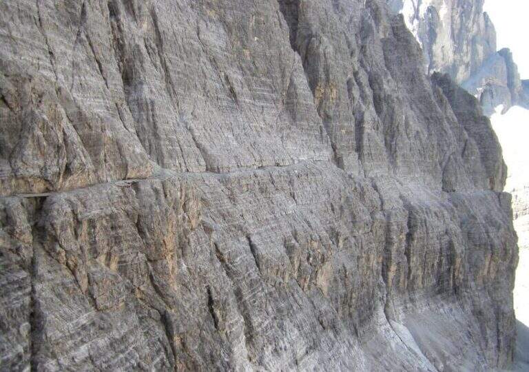
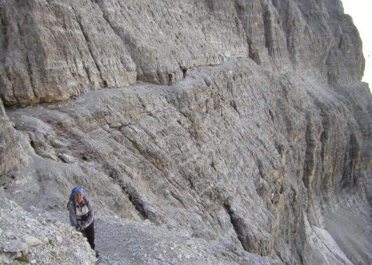
The initial trait goes beyond easy rocks and then develops along the Cengia of Salvazza, carved into the rock during the Great War. First, a very wide nod, at times not equipped, to the più point; iconic: the nod abruptly turns into a rock retaliation and is circumvented from the ' inside, with the characteristic view that recalls a «spada». Exit on the opposite side, after some rocks, the nod continues between modest climbs along the west wall of the slopes of Cima Undici, with wonderful views on Cima Dodici and Val Fiscalina: generally wide, you walk without problems despite the precipice on the left. At a rocky roof it is lowered on a wooden catwalk; più forward, in a recess, a waterfall and, according to the season, a snowmaker. The census now continues without protection, uphill on a detritic background, it overcomes a new snowfall and reaches an old military muretto where the first stretch ends (1h 45' from' attack, 5h 15' total). Continue on unprotected nod, in falsepiano, up to Forcella Undici, where the ferrata ends with a 360° panorama; on Croda Rossa di Sesto, Cima Undici, Cima Twelve and Cima Uno (2h 30' from' attack, 6h totali).
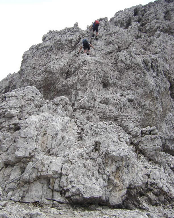
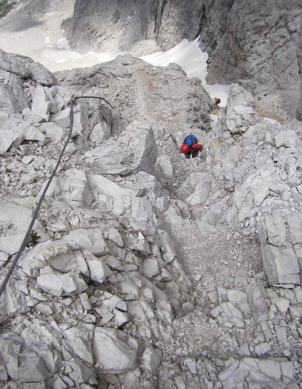
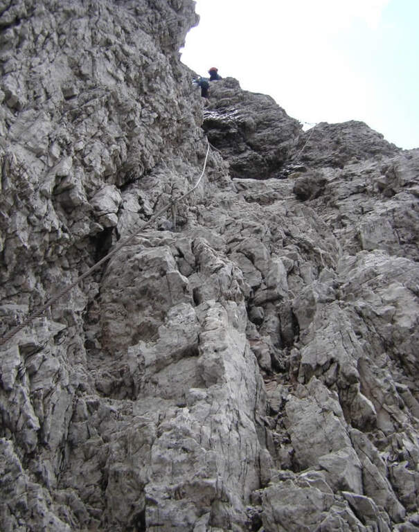
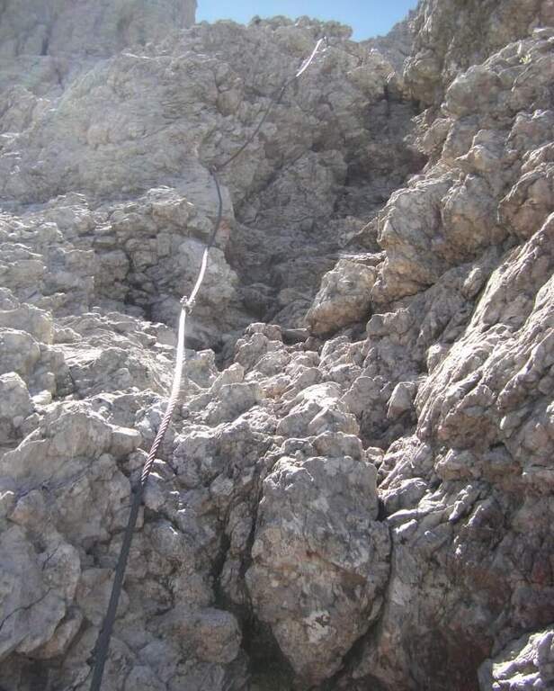
For the first two thirds the route does not present technically challenging passages: it develops above all on exposed but well equipped cenges. The most vertical and medium-difficult stretches meet downhill, especially towards Passo della Sentinella.
An official GPS track is not available for this route. The map of the 4Land Dolomites is useful.
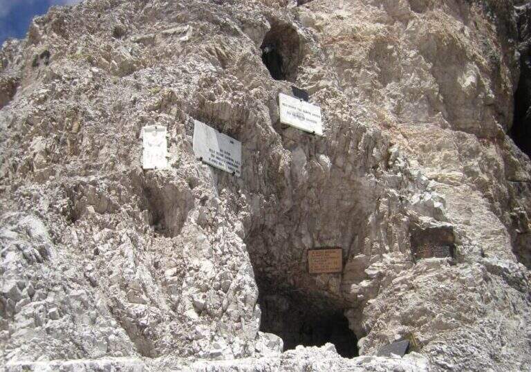
The Strada degli Alpini has its roots in the Great War, when the "Cengia della Salvezza" — originally a natural nod, then enlarged by the mountaineers — connected Forcella Giralba to the west terrace of Cima Undici to reach and strengthen the positions in view of the attack on the Passo della Sentinella, then the Italian-Austrian border. After the war Francesco Meneghello (CAI) brought to light the itinerary and in 1932 the CAI of Padua equipped it with metal ropes and ladders; the stretch from Forcella Undici to Passo della Sentinella was instead equipped by the CAI of Padua in the seventies.
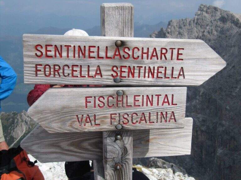
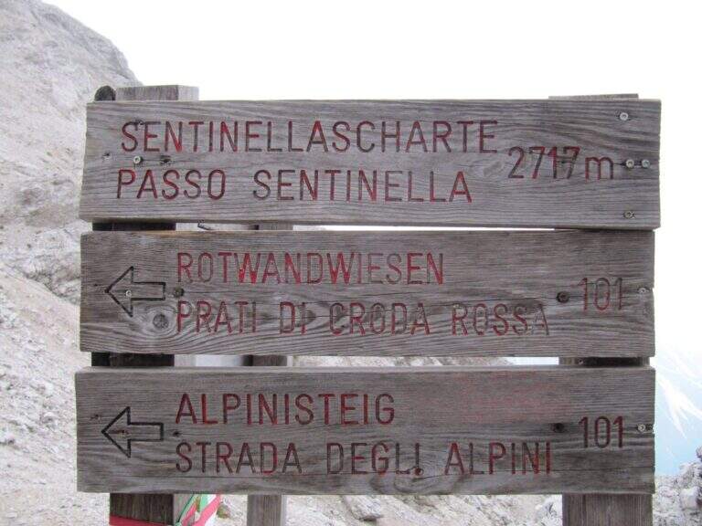
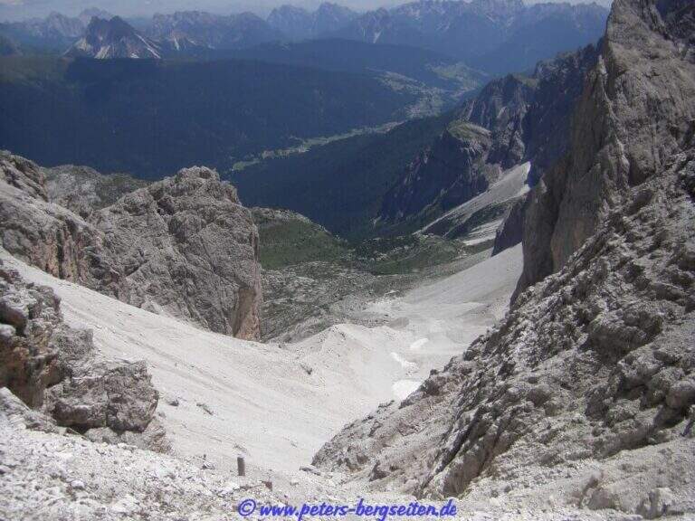
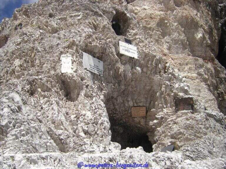
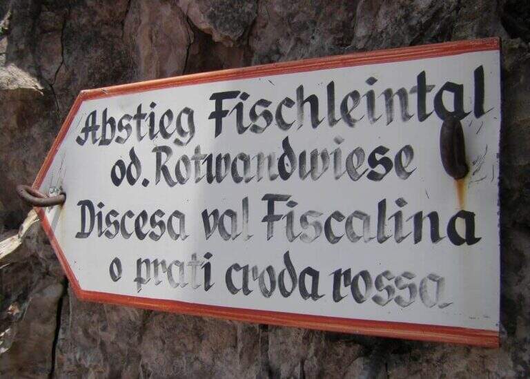
From Forcella Eleven two options. The first follows the signpost 124 che, aggirando l'Elferschartespitze, scende in Val Fiscalina con un traverso attrezzato e un paio di canalini franosi, poi un vallone detritico con la Croda Rossa a destra, fino al parcheggio (1h 30' da Forcella Undici, 6h 45' totali). La seconda scende al Passo della Sentinella (anche detta Ferrata del Passo Sentinella): cenge, una scaletta, l'attraversamento di un canale, una lunga passerella di legno e balzi verticali in forte esposizione fino al passo (2717 m, 1h da Forcella Undici), ricco di resti bellici; si scende poi a sinistra nel Vallon Sentinella, dapprima molto ripido e attrezzato, fino al bivio con il sentiero 124 che riporta in Val Fiscalina e al parcheggio (8h totali).
Itinerary ideal to be inserted in several days: a classic match the Ferrata Roghel e la Cengia Gabriella towards the Rifugi Berti and Carducci, then using the Strada degli Alpini to return to the Berti from the Val Popera; or the climb to the Croda Rossa di Sesto for Ferrata Zandonella and the descent to the Costoni di Croda Rossa.
- DifficultyModerately Hard
- RegionTrentino-Alto Adige
- GroupSesto Dolomites
- Approach3:30 h
- Ferrata2:30 h
- Itinerary (a/r)8:00 h
- Hardware level difference337 m
- Route difference1200 m
- Max2717 m
- Length11 Km