
La Ferrata Terzulli connects the Val Miller with the Adamello Pass and is normally inserted in the ascent to the Adamello. The equipment itself is of limited difficulty, but the itinerary takes place in a high mountain environment with a strong mountain character: it is therefore reserved for those with experience of ferrate and high altitude, with stable time.
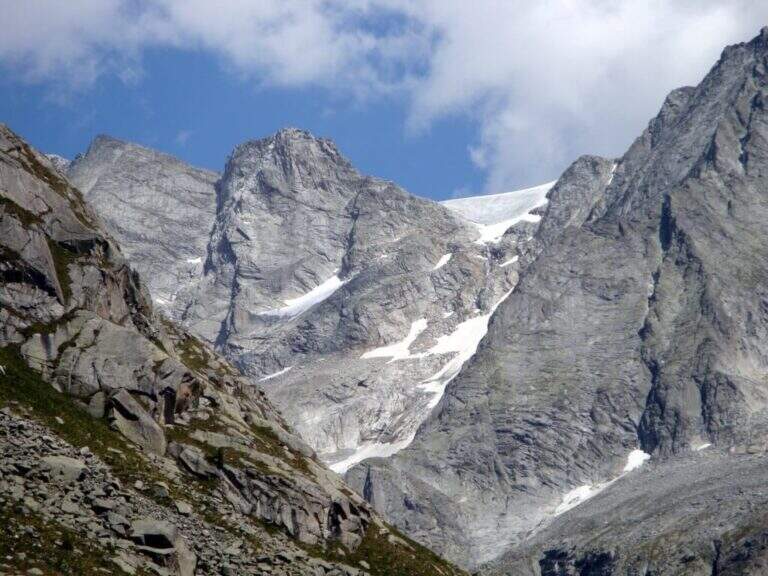
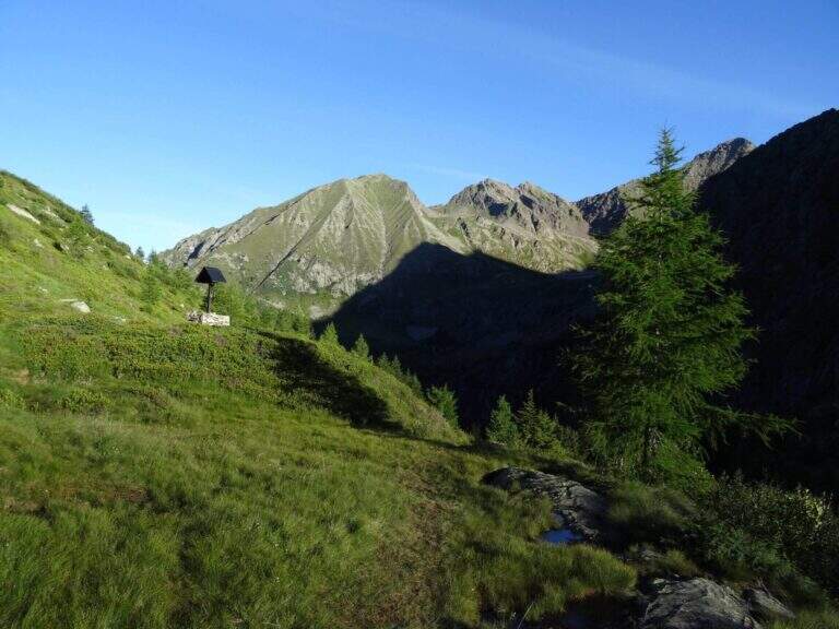
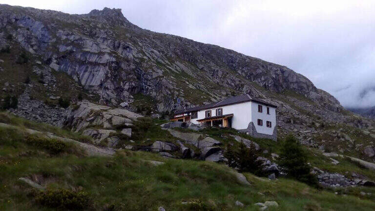
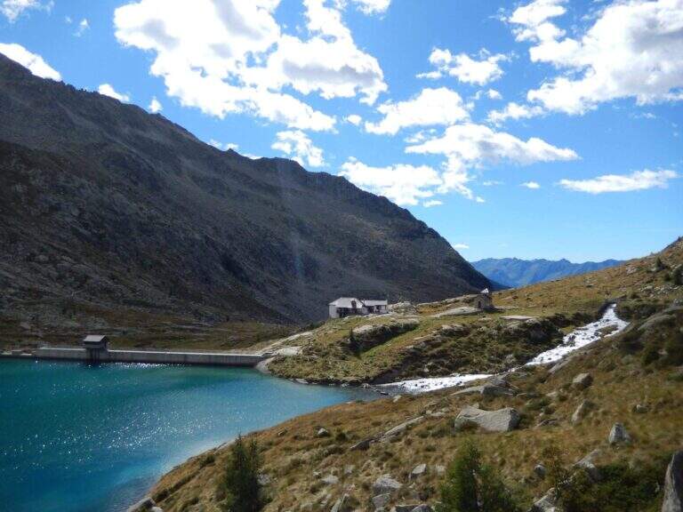
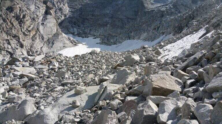
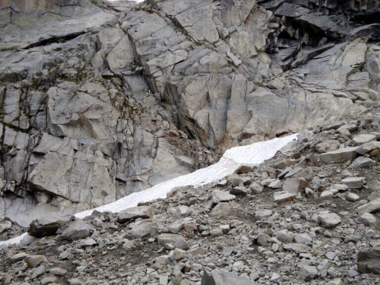
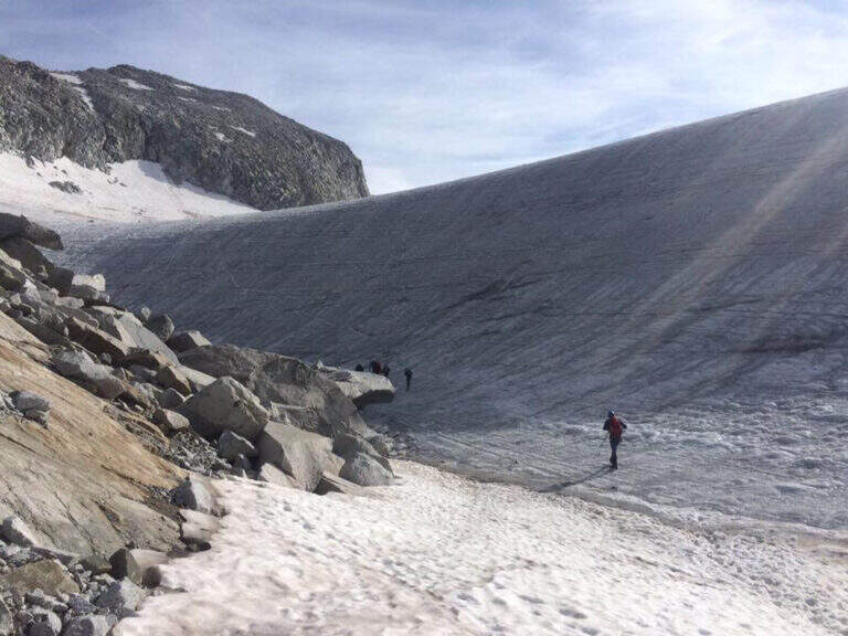
Start from the beach at the bridge on the river Remulo, along the road to Val Malga (1528 m). Open road signs on Google Maps. Beyond the bridge, follow the dirt road to Malga Premassone, then the sentiero 23 over Malga Frino (1698 m) and go up the Miller Valley, passing the characteristics Scale Miller (rock steps with short equipped sections, 2050 m). You can reach the Rifugio Gnutti (2166 m, 1h 30' from the parking lot); continue on the 23rd along the Lake Miller and crossing the «Pantano Miller», on soil always più rocky and with possible snow languages, until all' attack (2930 m, 2h from Gnutti, 3h 30' totali).
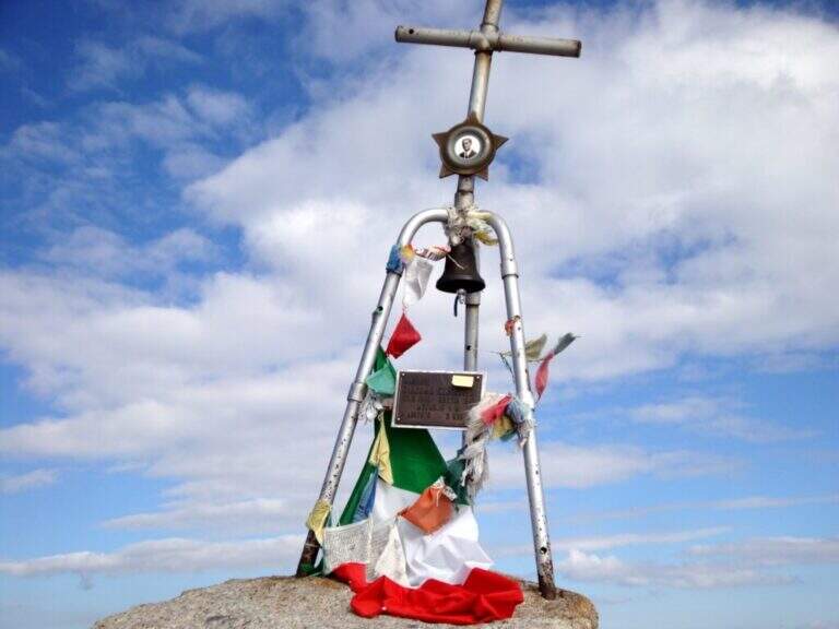
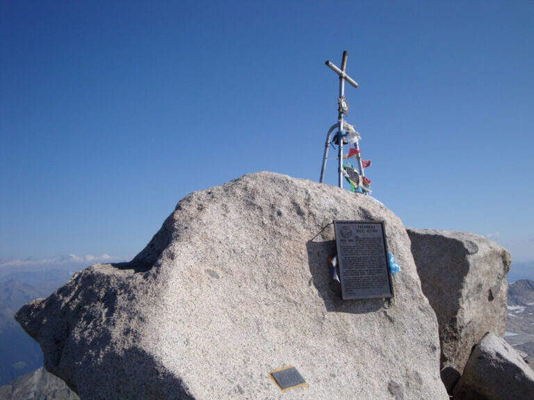
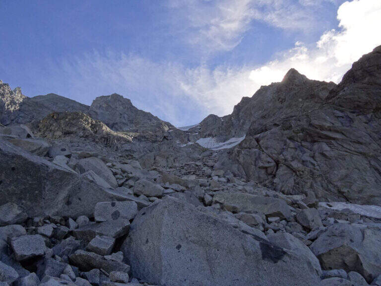
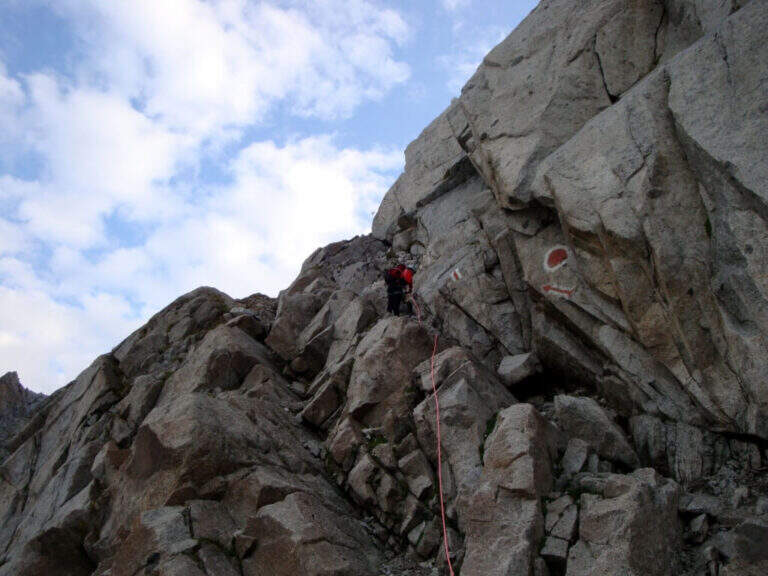
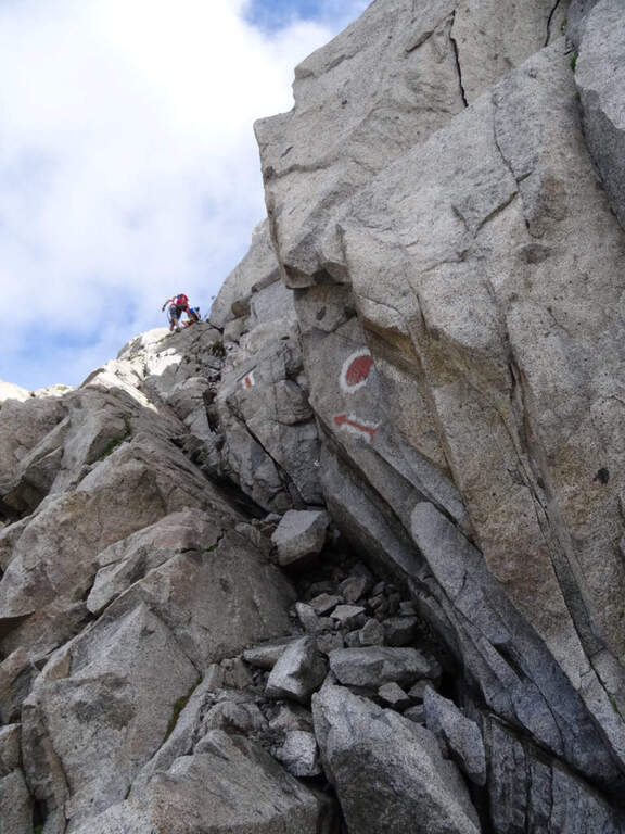
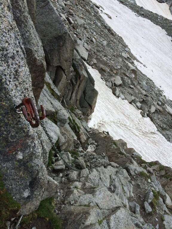
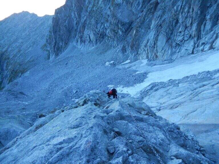
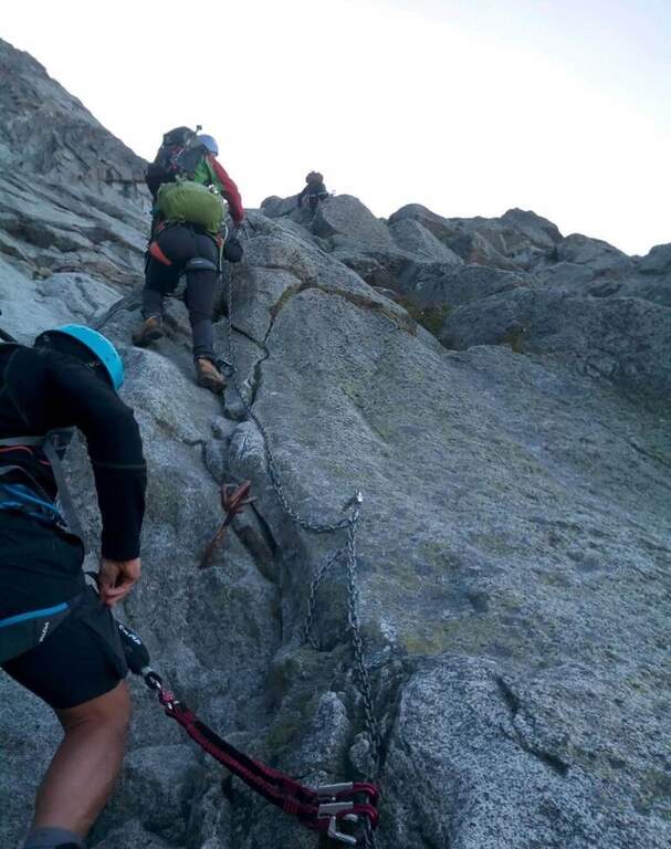
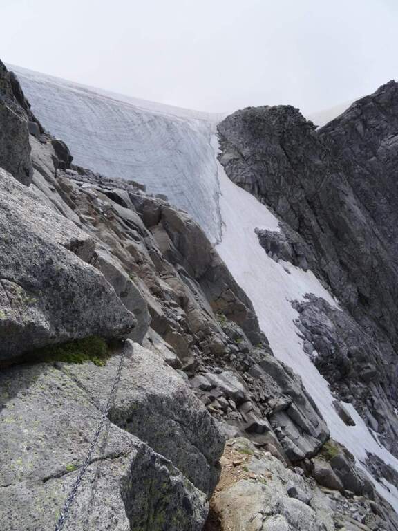
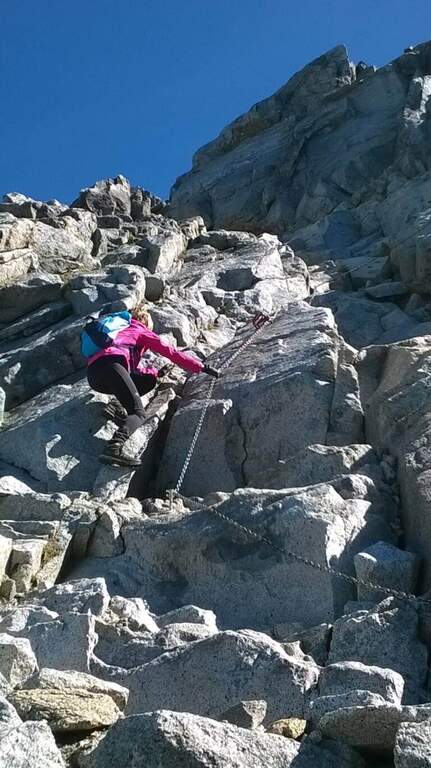
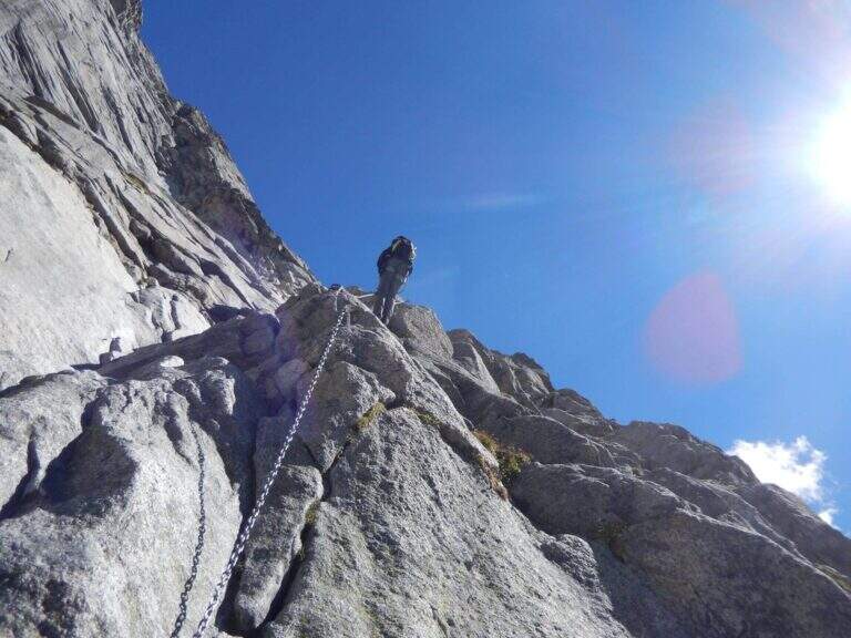
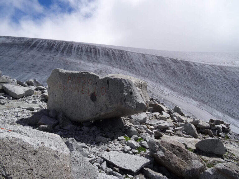
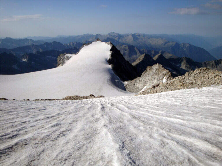
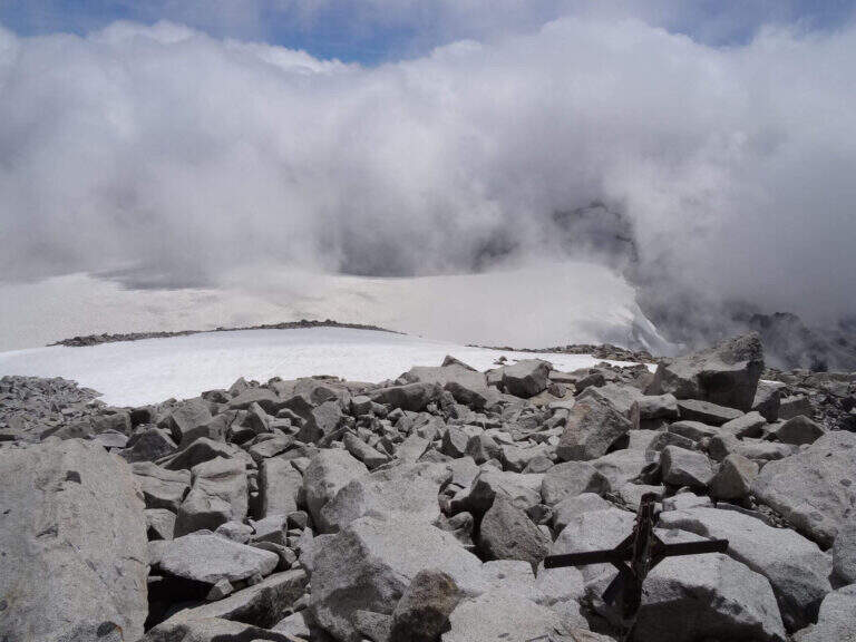
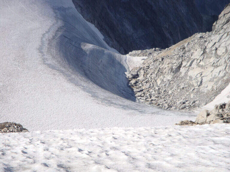
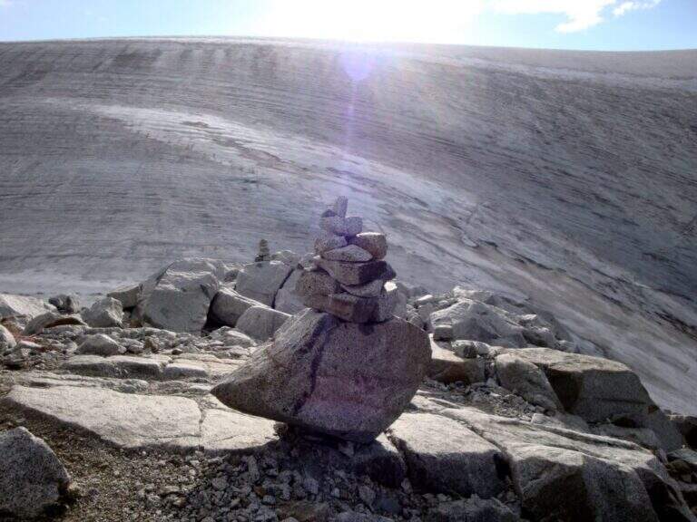
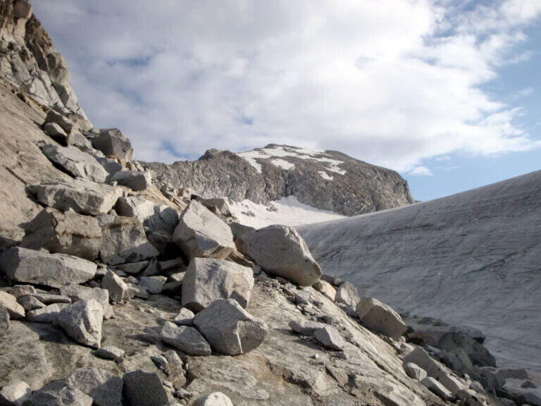
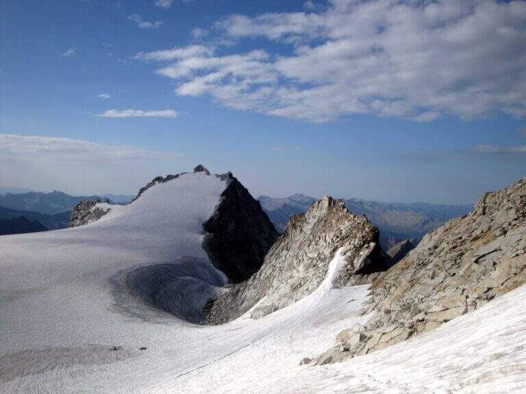
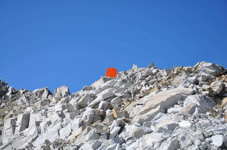
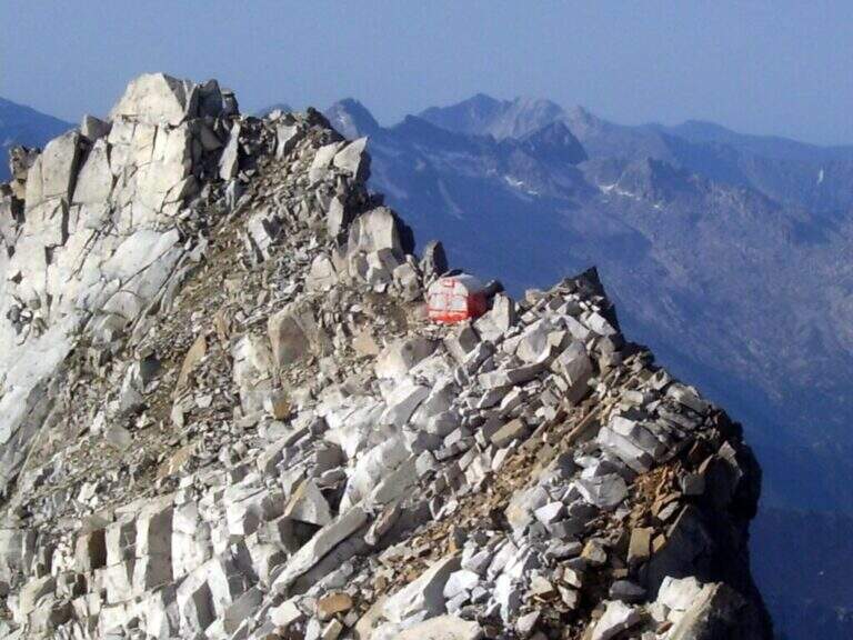
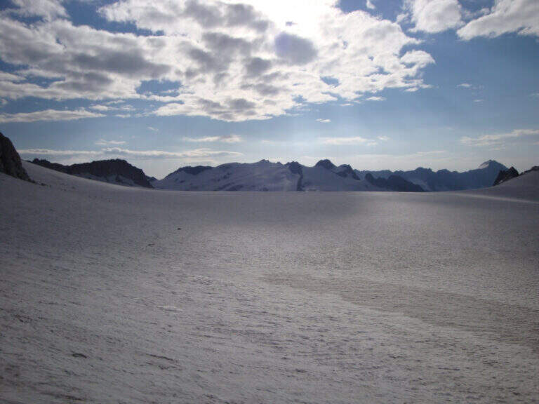
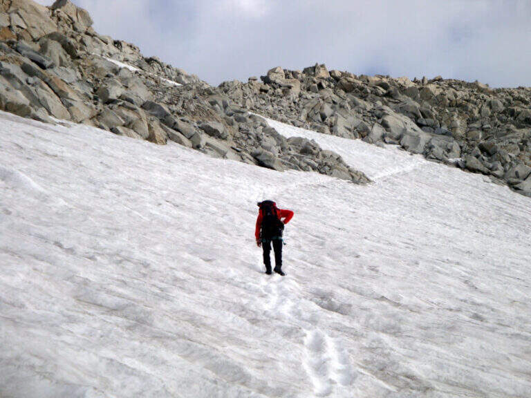
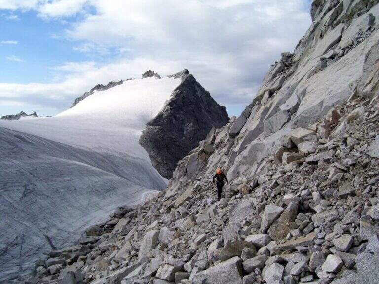
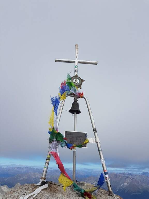
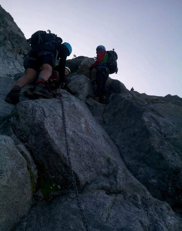
La via è attrezzata con catena a tratti. Si inizia su un breve spigolo; a un primo terrazzino si cambiano i moschettoni su una nuova catena e si sale verticali su roccia compatta ma levigata. Terminata la catena, un sentierino esposto e roccette portano a un tratto diagonale a sinistra e poi a una salita più ripida ma senza difficoltà tecniche. Dove le attrezzature finiscono si seguono segni bianco-rossi e ometti fino a una placca inclinata dove le catene riprendono: la si risale in linea retta e poi a destra, si percorre una cengia terrosa e un traverso esposto attrezzato, quindi una breve placca chiude le attrezzature poco sotto il Passo dell'Adamello (3240 m, 1h from the attack, 4h 30' total). From here the itinerary continues in the glacial environment: you descend on the left edge of the Adamello Glacier (Bivacco Ugolini and Cima del Laghetto on the left), then climb the last ~300 m on rocks of I degree up to the west ridge and, for the thread with small balconies exposed, to the summit cross of the Adamello (3539 m, 1h 30' from the Pass, 6h total).
Technically the ferrata is not difficult for those who already have good experience; the rock is good but not always rich in hooks. The real difficulties are the environment, the length, the altitude difference (over 2000 m overall) and the altitude. Development 22 km, maximum altitude 3539 m.
The descent follows l' the entire ascent itinerary, disarrampicando also the Ferrata Terzulli (the normal & free route; a different itinerary that would require an overnight stay). From the summit, taking care of the steep and exposed traits; from the refuge there are the Miller Stairs and the last kilometers up to ' car (1h 30' from the refuge, 5h from the summit, 11h totali).
Staying in the upper Val Camonica you can walk, further south, the Ferrata at Corno di Grevo e la Ferrata at Pizzo Badile Camuno; towards the Tonale Pass Ferrata del Sentiero dei Fiori and, on the trentino side, the Ferrata Monte Nero.
- DifficultyHard
- RegionLombardy
- GroupAdamello
- Approach3:30 h
- Ferrata1:00 h
- Itinerary (a/r)11:00 h
- Hardware level difference200 m
- Route difference2011 m
- Max3539 m
- Length22 Km