
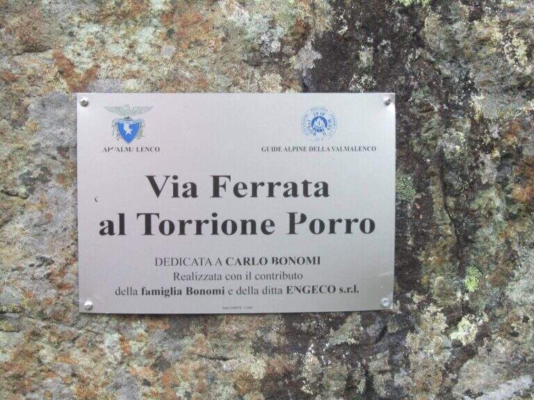
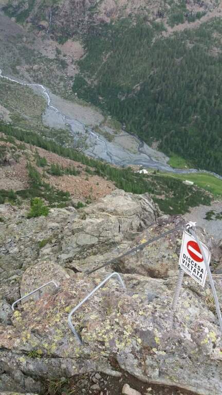
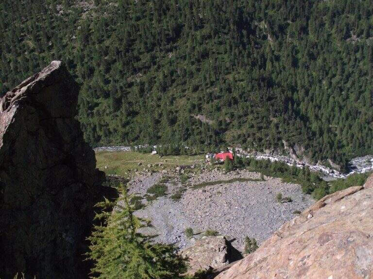
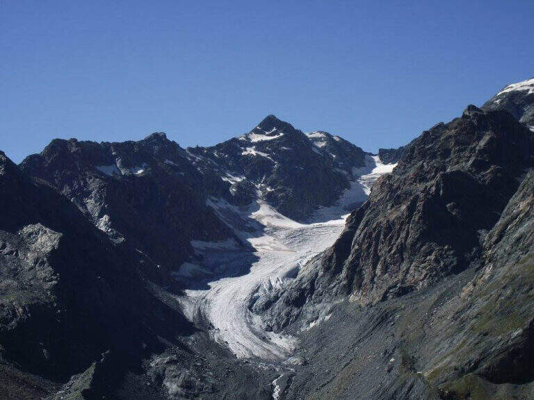
La Ferrata al Torrione Porro develops in high Valmalenco, above Chiareggio. It is abundantly equipped and of moderate difficulty, without technical passages relevant even in the second part, more exposed; from the summit you enjoy a beautiful view on the Glacier of the Ventina and the Group of Disgrace.
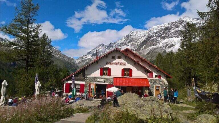
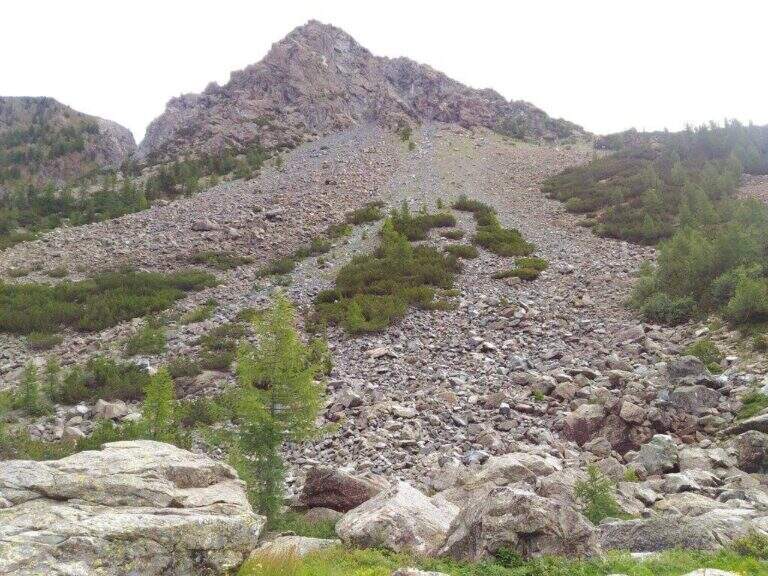
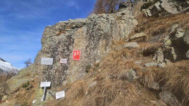
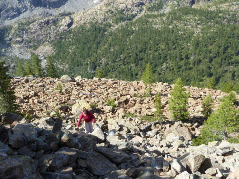
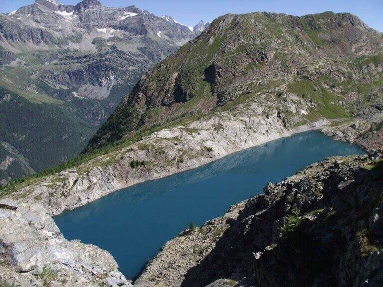
It starts from the 'inhabited of Chiareggio (Chiesa in Valmalenco). Open road signs on Google Maps. At the end of the village a staircase descends to a pole with the CAI signposts: cross the bridge over the Mallero stream and cross the dirt road to the Rifugio Gerli-Porro (1h from the parking lot). Beyond the refuge follow the path to Lake Pirola up to a pole; you keep the left towards l' attack, you go up some bends up to a junction where you separate ferrata and normal way, and in short you reach the red sign d' start (30' from the refuge, 1h 30' from the parking ).
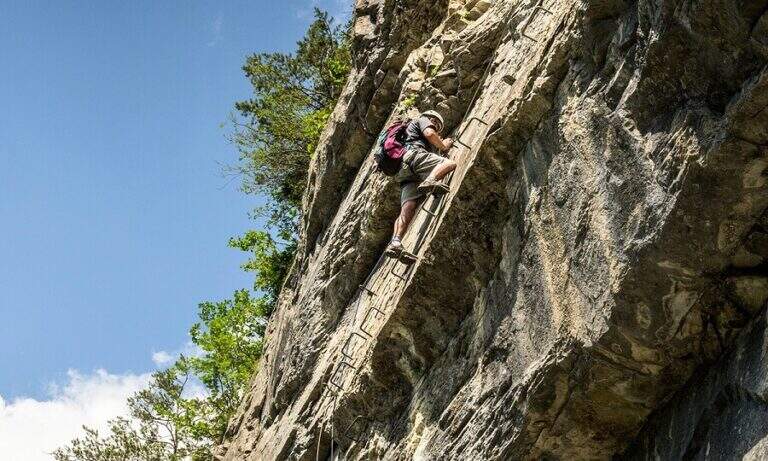
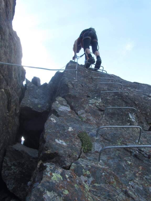
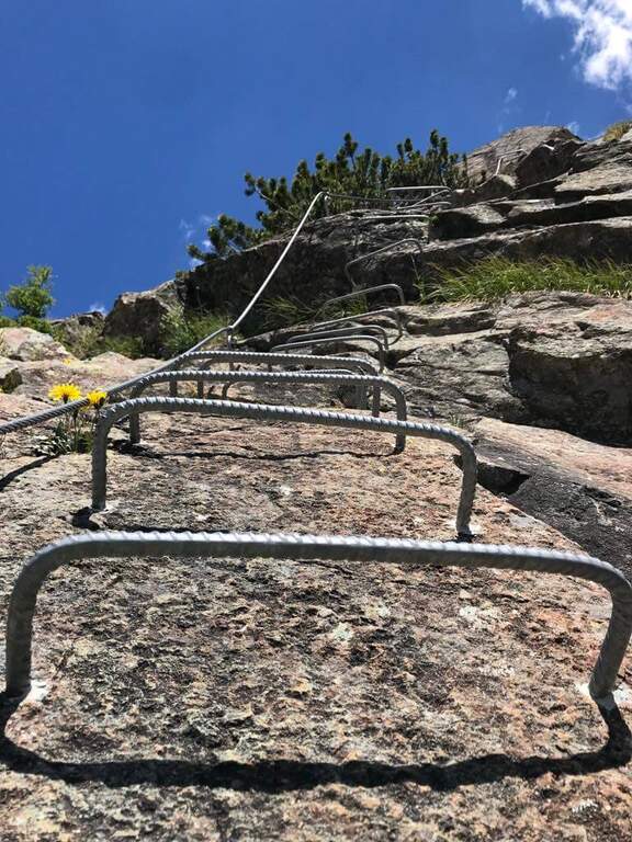
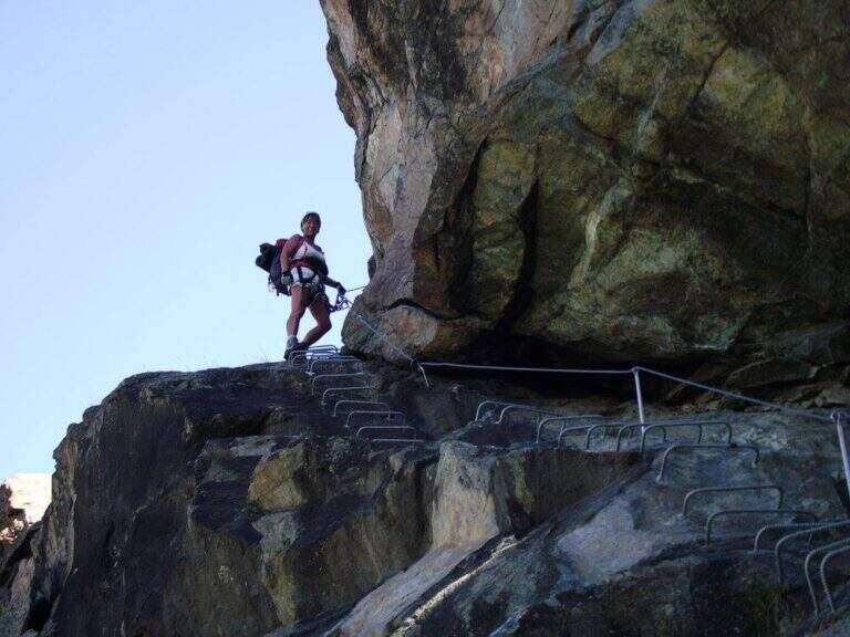
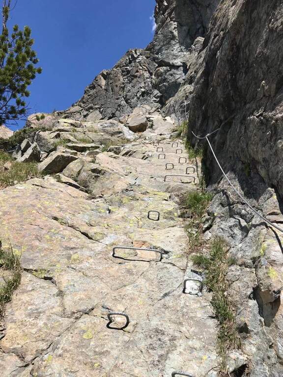
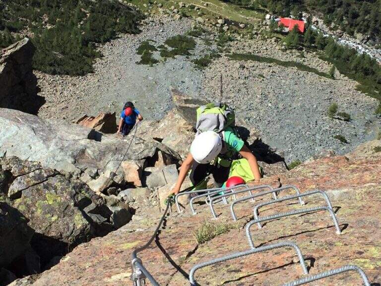
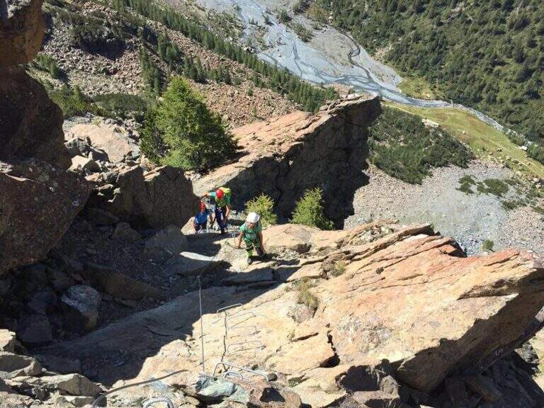
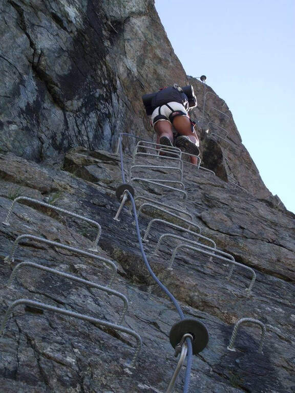
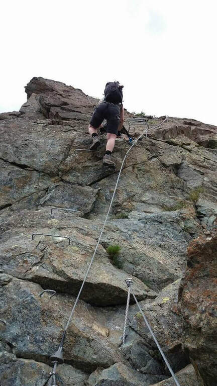
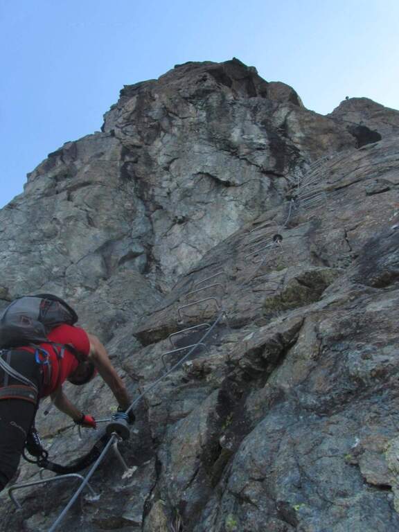
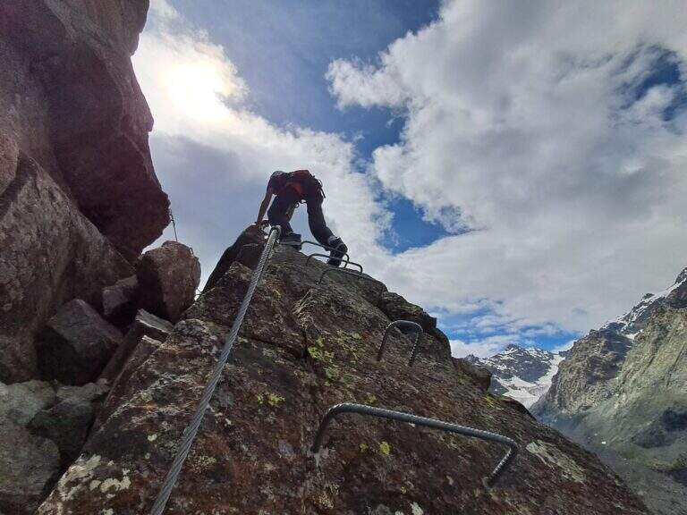
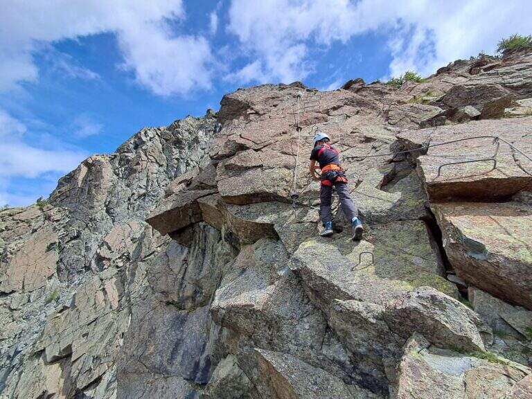
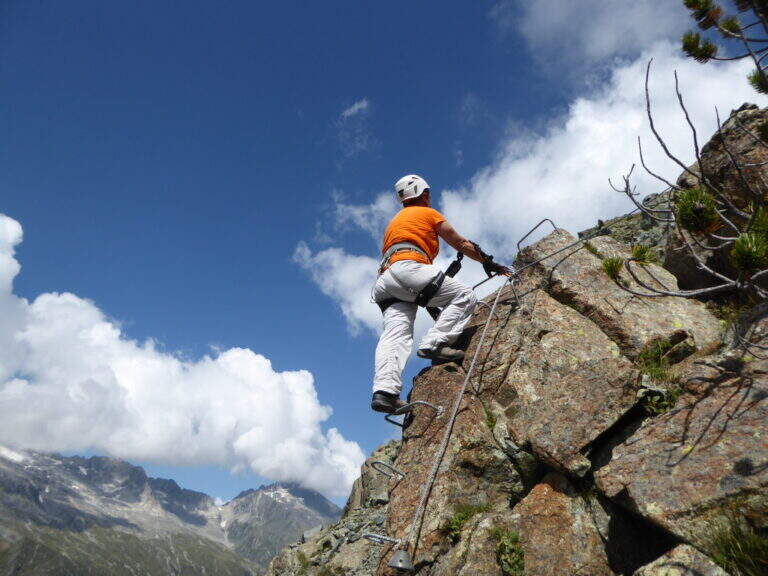
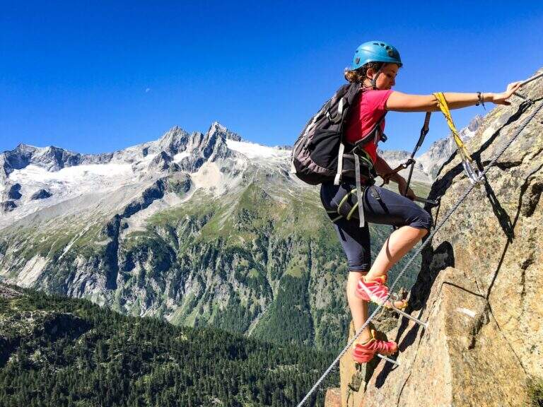
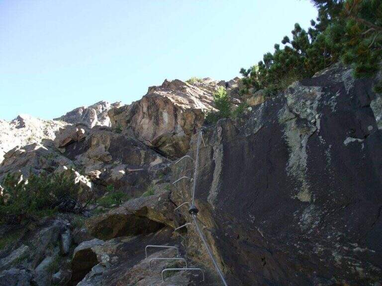
The equipment starts on an ascending ramp to the right, runs smoothly until the first vertical sections with plenty of brackets. There are short rocky cliffs and diagonal stretches up to a ramp where the cable acts almost as a handrail. The second part è definitely più vertical and exposed but technically easy thanks to brackets and handles: tre long walls, one of which with a exposed section where the rock pushes towards l' outside and requires pi` Come on. At the end you can può climb left at the top of the Torrione Porro (50' from the attack, 2h 30' total) or continue right towards the path of the normal road.
Recently (launched July 10, 2016, built by CAI Valmalenco and Guide Alpine Valmalenco), with equipment in good condition and very abundant: the technical difficulties are reduced and the ascent is also suitable for those who have moderate experience. 195 m, total 823 m, maximum altitude 2435 m, development 12 km.
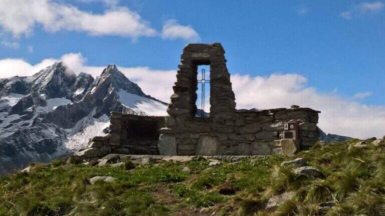
From the ' summit lift follow the via normal, which leads to the junction of the ' then, downhill, to the Rifugio Gerli-Porro and to the parking lot (1h 30' from the summit, 4h totali).
- DifficultyModerately Hard
- RegionLombardy
- GroupValmale
- Approach1:30 h
- Ferrata0:50 h
- Itinerary (a/r)4:00 h
- Hardware level difference195 m
- Route difference823 m
- Max2435 m
- Length12 Km