
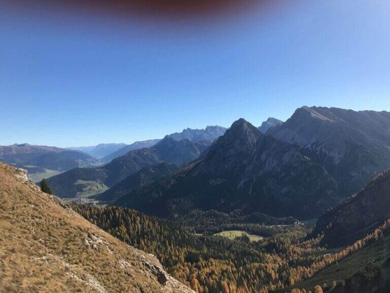
La Ferrata di Valdaora (Olanger Klettersteig) at the Cima di Colli Alti is an easy route that offers an alternative to the normal route to climb this panoramic top above the Val di Braies. The route is long and with good difference in altitude but without any technical difficulties, suitable for all trained hikers.
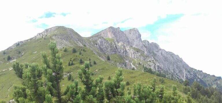
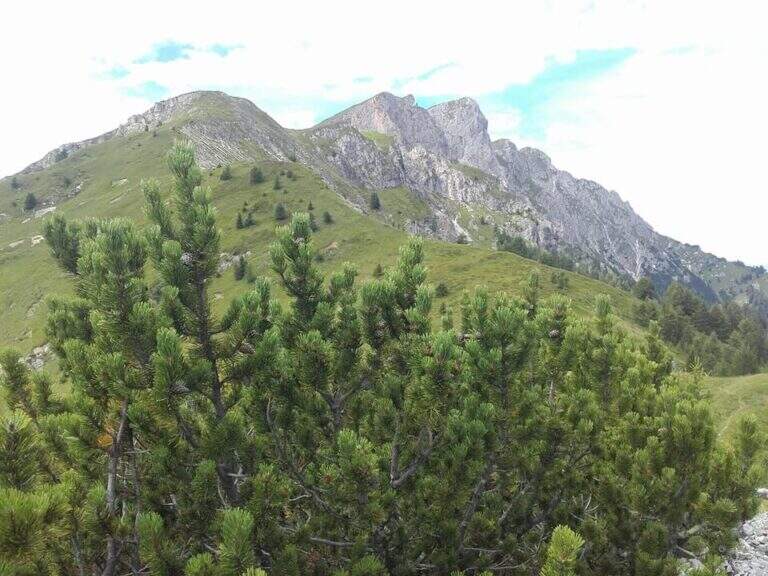
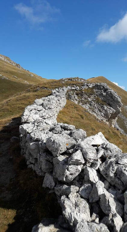
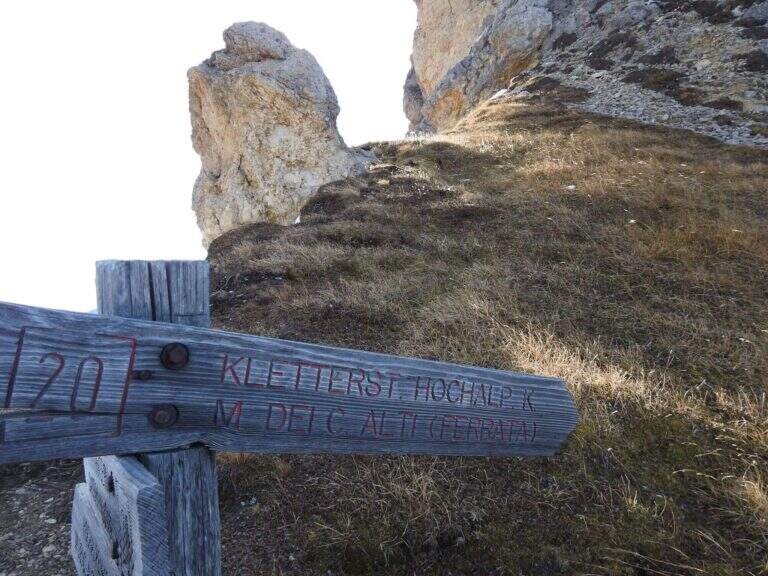
Starting from the parking lot north of the Lago of Braies, at l'Hotel Lago di Braies (1490 m); between Monguelfo and Villabassa turn south along the Braies Valley. Open road signs on Google Maps. È a long ring: from the lake you climb on the eastern side with the sentiero 20 at constant slope; after about one' hour, at a crossroad, you hold the 20 (indications « Pra Medals of Vacche») while the sentiero 61 on the left & the normal way back. Continue più steep up to a panoramic fork on the Val Pusteria (2140 m) with directions to the ferrata; exit from the forest, after a climb a po' exposed on a grassy path then rocky, you reach the first ropes (2h 30' from the start).
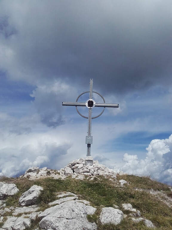
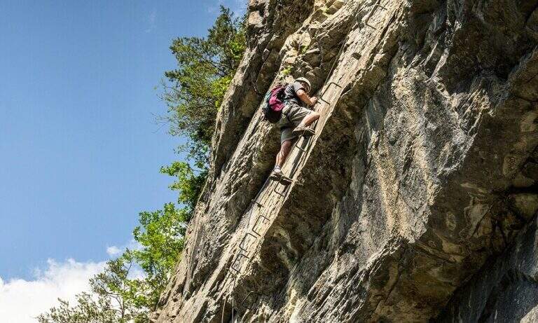
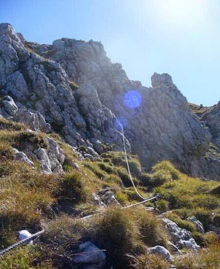
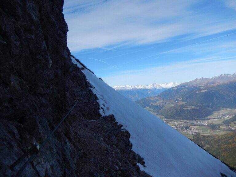
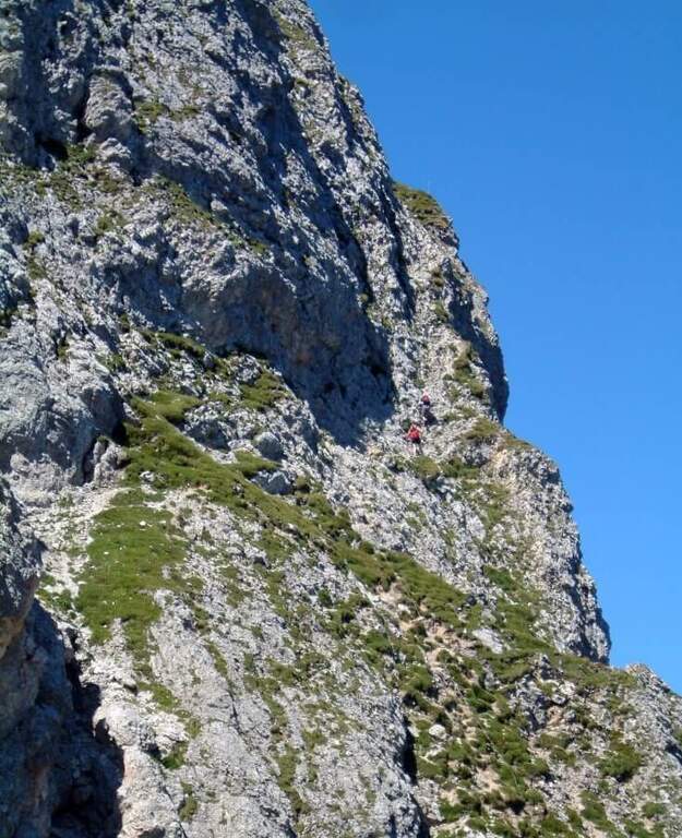
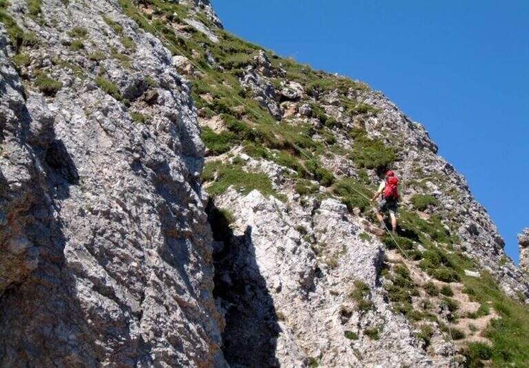
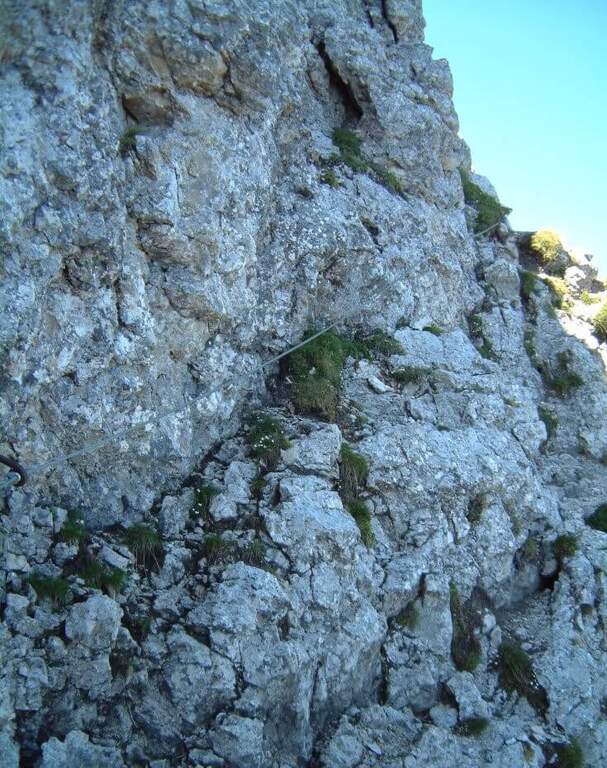
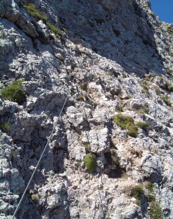
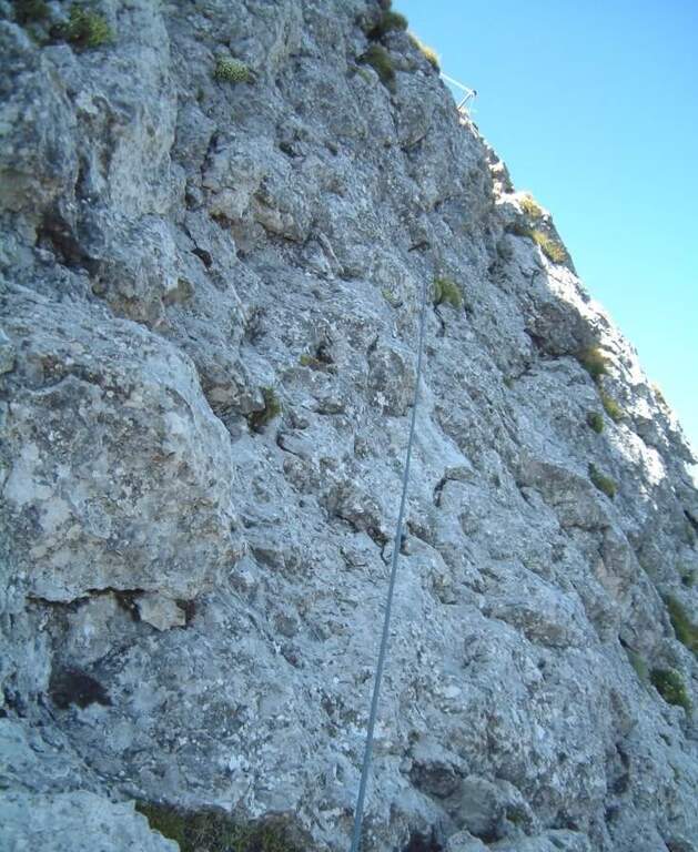
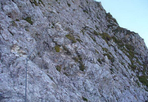
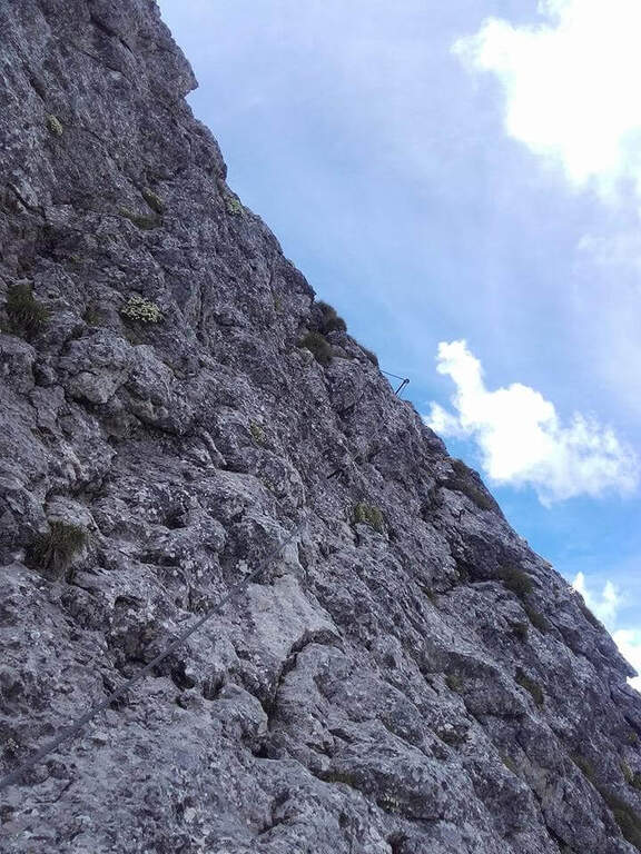
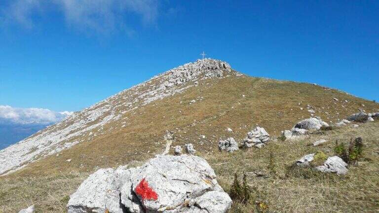
The ferrata è technically easy and takes place on small rocks, stretches of equipped path and a couple of vertical jumps followed by easy walks. Developing on the cross north, the può soil; be wet or snowy and the equipment helps in the più traits; exposed. It rises between sphas and grass, then più steep on rocks towards the north wall of Kaserkopf; a pair of diagonal strokes and a single well-dressed vertical tract precede the key pass, a right traverse that bypasses an exposed edge, well-dressed and short. Equipment ends just before the summit of the Kaserkopf (2414 m, 30' from the attack, 3h total); on a half-coast path on the south side you will reach the cross of the Cima of Colli Alti (2542 m, 3h 30' total).
Easy way, ideal for those who want a more varied alternative to the normal way; the commitment lies above all in the length and the difference in altitude. Level difference in ferrata 140 m, total over 1000 m, maximum altitude 2542 m, development 9.1 km.
We go down normal way: from the southern meadows of the Cima di Colli Alti follow the red signs with the indications of the path 61A and then 61, up to the junction of ' gone and then back to Lake Braies (2h 30' from the summit, 6h totali).
In the Puster-Aurina area: la Ferrata Piz de Peres and, above Campo Tures, the Ferrata Speikboden.
- DifficultyEasy
- RegionTrentino-Alto Adige
- GroupDolomiti di Braies
- Approach2:30 h
- Ferrata1:00 h
- Itinerary (a/r)6:00 h
- Hardware level difference140 m
- Route difference1053 m
- Max2542 m
- Length9,1 Km