
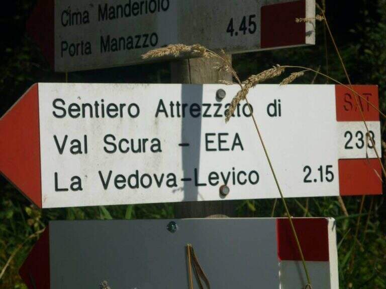
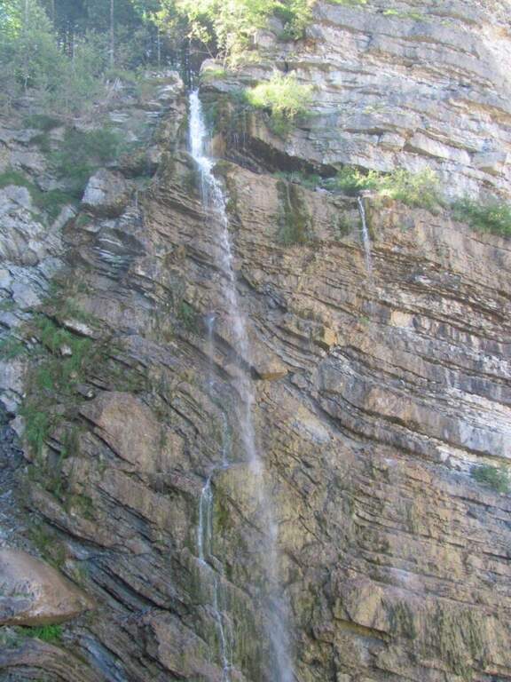
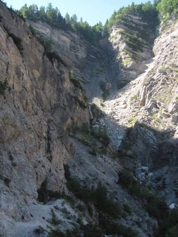
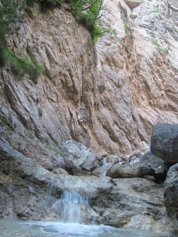
The Sentiero Attrezzato Chiesa is a pleasant excursion that goes up the Val Scura, near Levico Terme, in the province of Trento. The difficulty is moderate and the bottom, at times unstable, requires a minimum of experience of equipped excursions. It is a perfect itinerary for half seasons, when the Rio Bianco has good flow and you can admire the many waterfalls along the way; we offer it as a ring with return from the Menador Path.
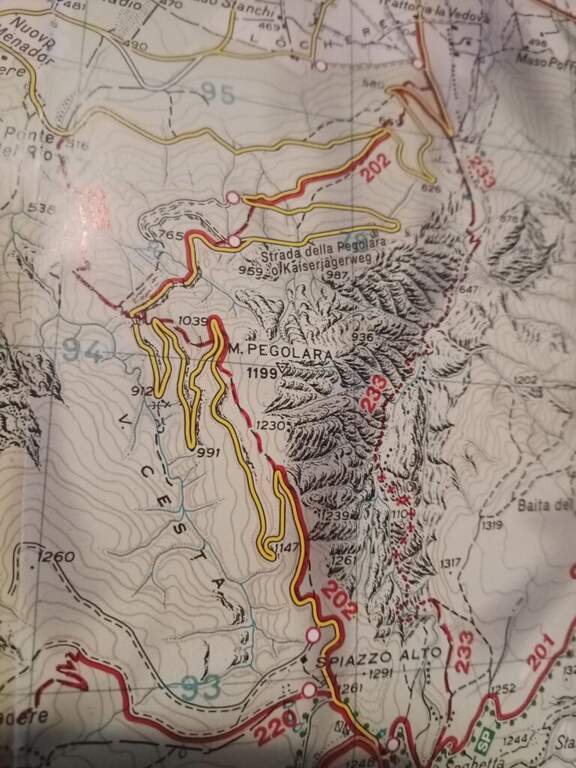
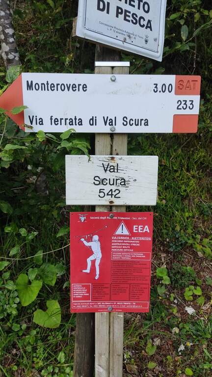
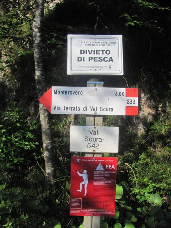
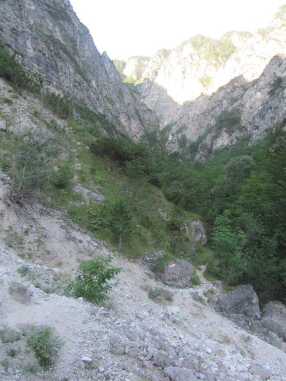
The starting point is in the municipality of Levico (TN). From Levico Terme you go south towards Lochere until you reach the Hotel Paoli, where you park (a large street on the left), ideal for the ring with return from the Menador Path (open up Google Maps). The asphalted road goes up to the first bend: where it continues to the right uphill, a sign and a red plate indicate the entrance into the wood. You climb on an easy path, keeping the left on the southern side, with Mount Pegolara on the right and Mount Calmo on the left. Hand as you climb you face different cheeks of the White Rio — you are all before the start of the ferrata — while the environment becomes increasingly beautiful, with pronounced rocky spires on the sides. In short you will find the first equipped stretch (850 m, 1h from the parking lot).
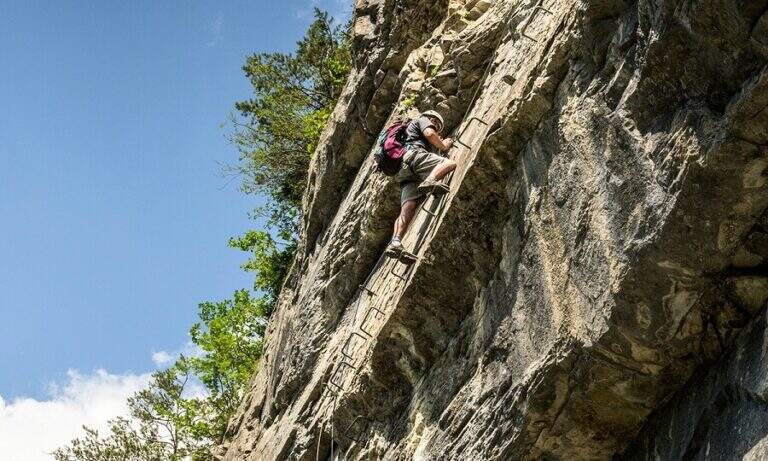
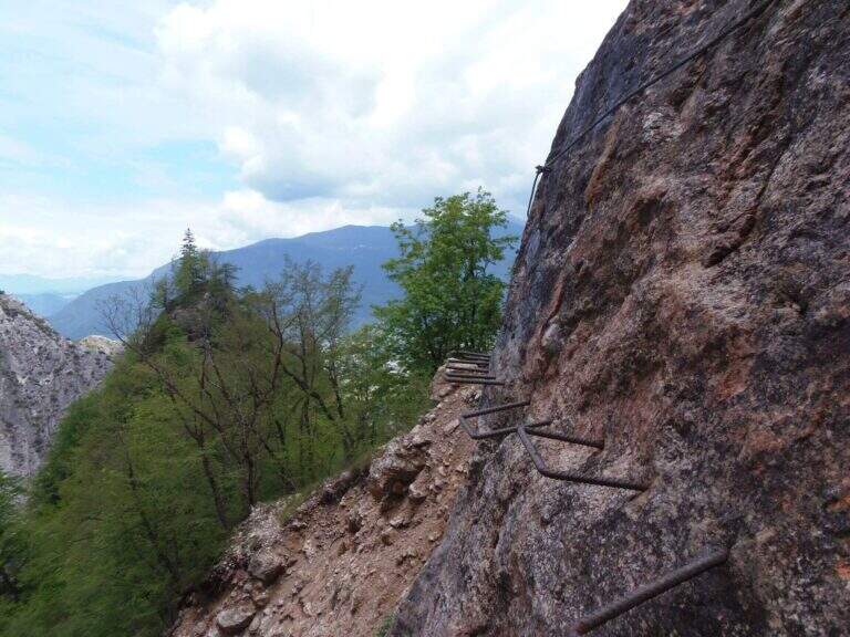
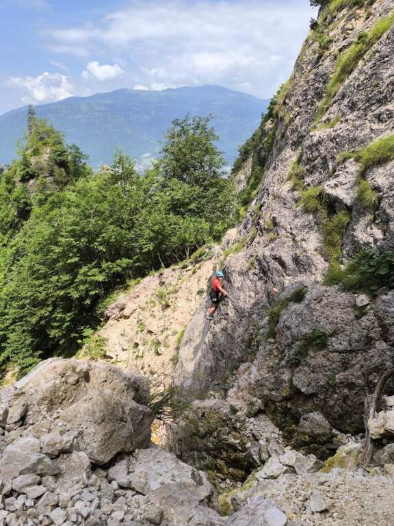
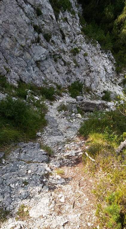
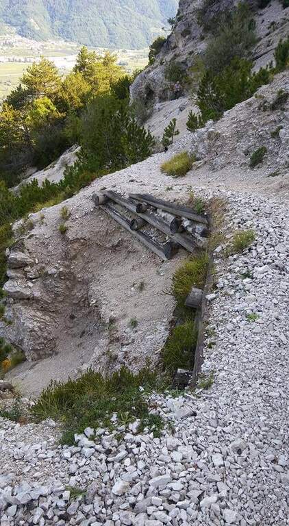
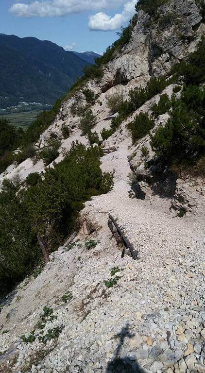
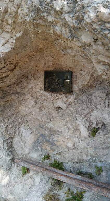
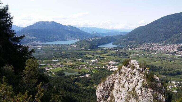
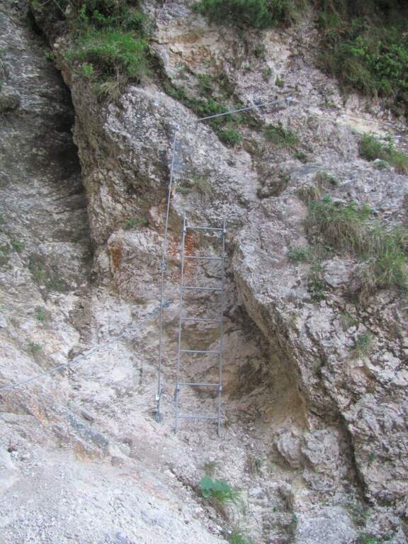
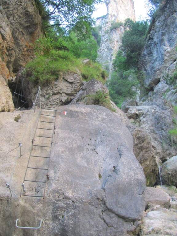
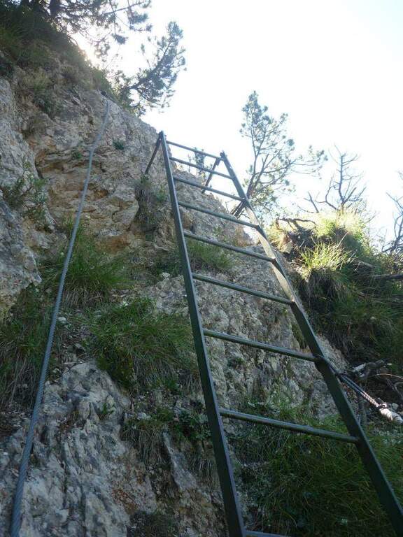
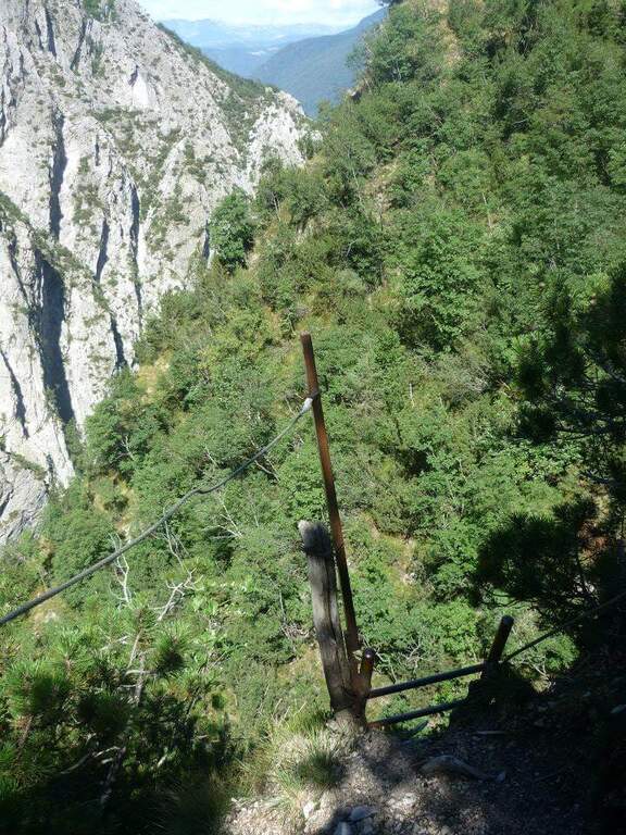
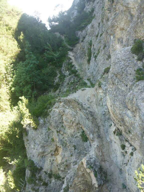
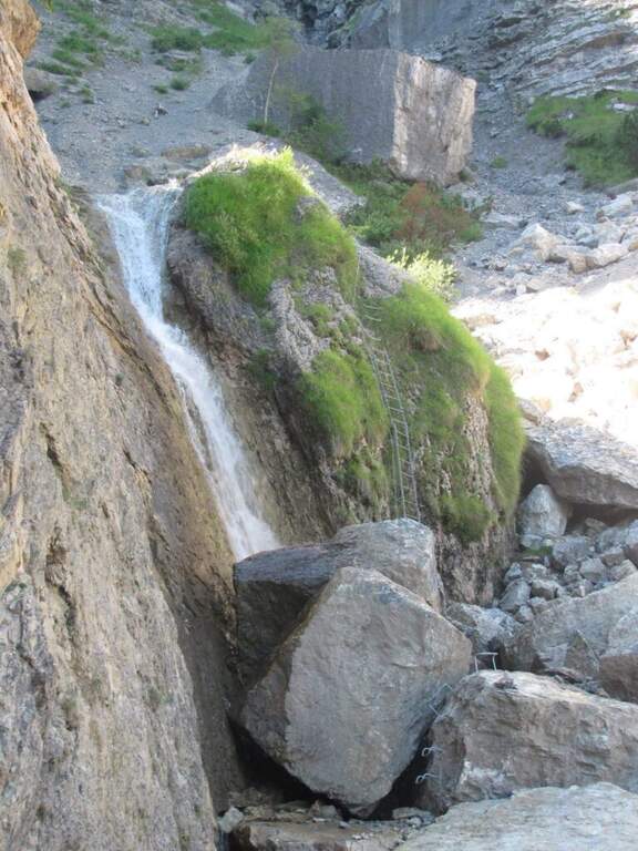
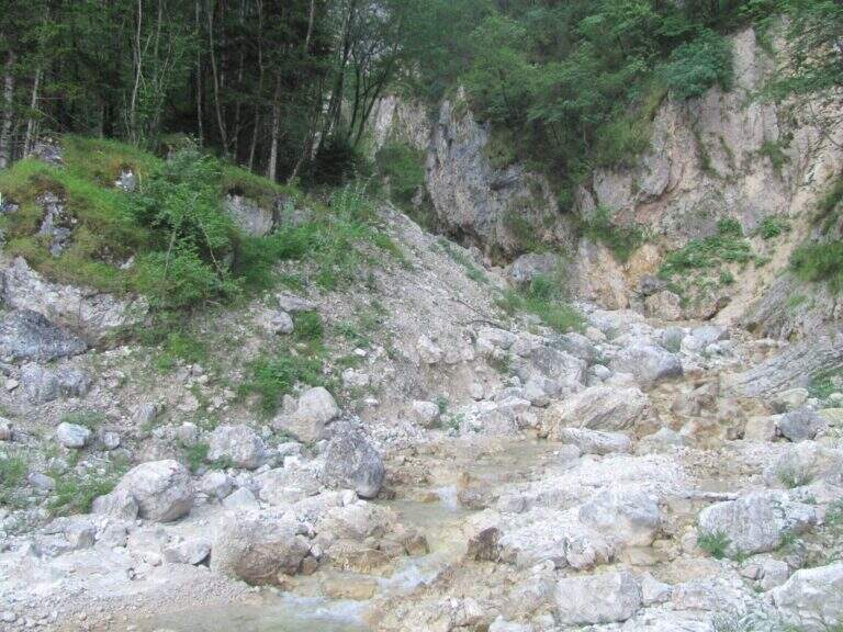
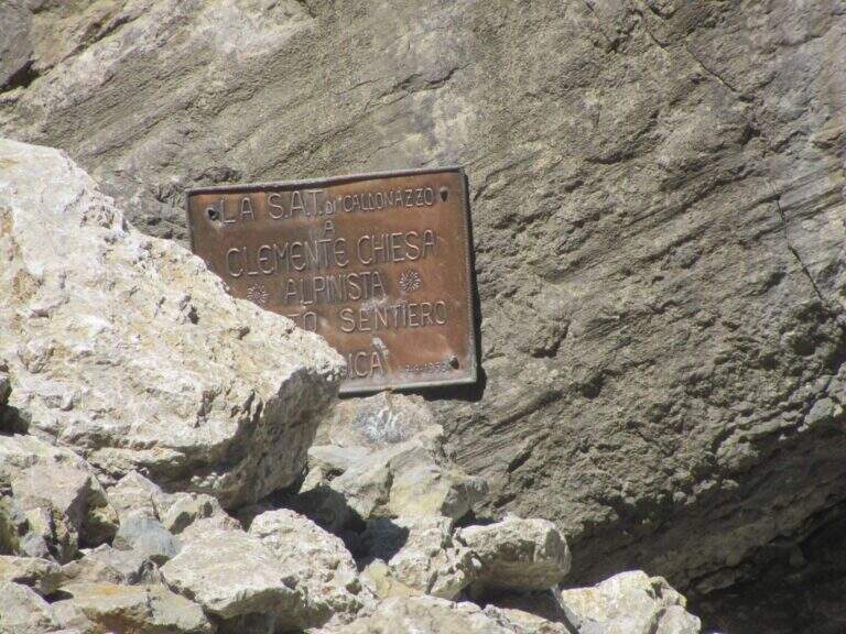
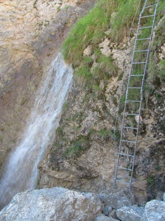
You go up a first stretch of wire rope to overcome a saddle; besides, after an easy but slippery debris, you descend a metal ladder losing a little bit of altitude towards the stream and a spire that seems to land the valley. Cross the stream and climb the second metal staircase, which helps to overcome a swan, followed shortly after by a third staircase. There is a nod on the creek, where it serves attention because the cable tends to push out and the bottom is slippery for moisture. You go up a new staircase and continue on a comfortable path with a splendid view of mountains, waterfalls and streams; you pass this easy stretch, you face a steeper climb on a rough, unspoilt bottom up to a panoramic point on the Valsugana. The second part begins: the first equipped section is an exposed but not difficult traverse, with support brackets; they follow a comfortable nod and a new ladder. Then you go through an unequipped section, descend into a detritic groove and go up what is probably the most difficult passage of the road, a sloped wall composed of natural steps on which you need attention. There are two metal ladders and you continue to descend a detritic trait quite challenging; then go up on a little stable but not difficult, you pass the plate dedicated to Clement Church and you complete the detritic tract. Passing next to a beautiful waterfall you reach a new rocky nod, which takes you to the right; the complete one, you climb a ladder leaning on a rock and you cross the stream near some rocky rocks. With a last ladder the equipped part ends, near a plateau (1247 m, 1h45 from the attack, 2h45 overall).
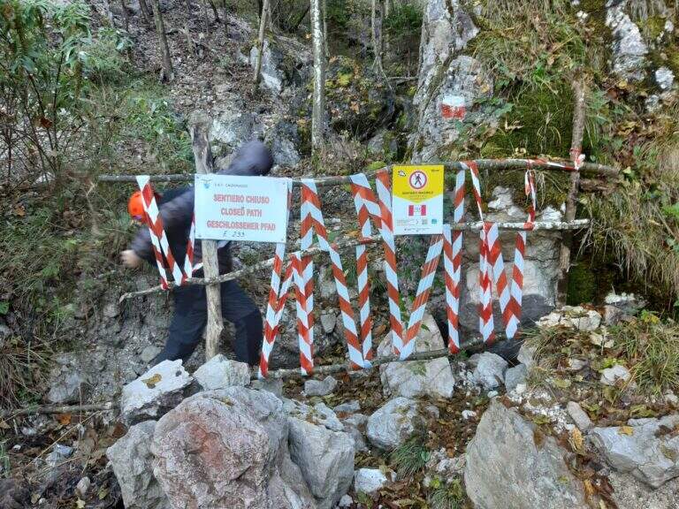
For technical difficulties the way would be to be cataloged as easy, but the state of the equipment has raised the degree: with two sections without protection or maintenance, they serve steady foot and a rope to ensure the companion. The environment is really suggestive and, for the low altitude, the itinerary is absolutely to visit, especially in the half seasons.
Low altitude (maximum 1370 m): the itinerary lends itself well to the half seasons, when the Rio Bianco has good flow and the waterfalls are at best. In addition to checking the state of the equipment, it is good to evaluate the flow of the stream for the numerous guades.
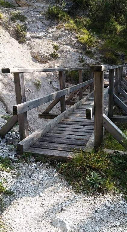
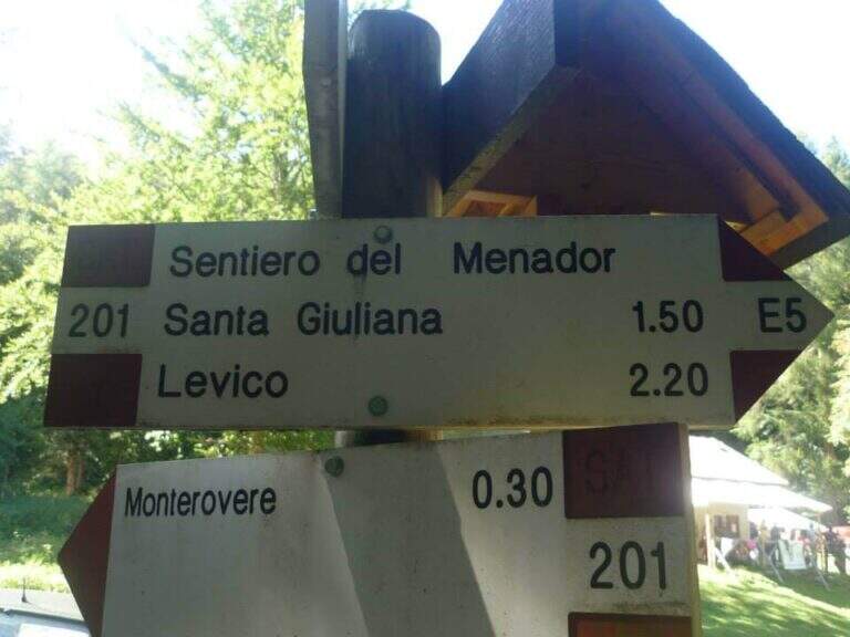
After finishing the ferrata continue along the path in the wood that, southward, points to the locality Seghetta. At the first crossroads you will take the left towards Baita Cangi, on the 201 marker. Although not the fastest route, we offer the return to the Path of Menador in the Val Pisciavacca: at the second crossroads you still keep the left and you walk a pleasant path between uphills, take a little slippery on debris, bridges and gudes, until you return to the car. At the end of the Path of Menador (2h30 from the end of the ferrata) you keep the left along Via delle Valli until you resume the provincial road of the way; again on the left you reach in short the parking lot in front of the hotel (5h30 total).
- DifficultyModerately Hard
- RegionTrentino-Alto Adige
- GroupValsugana – Vigolana
- Approach1:00 h
- Ferrata1:45 h
- Itinerary (a/r)5:30 h
- Hardware level difference390 m
- Route difference828 m
- Max1370 m
- Length11,7 Km