
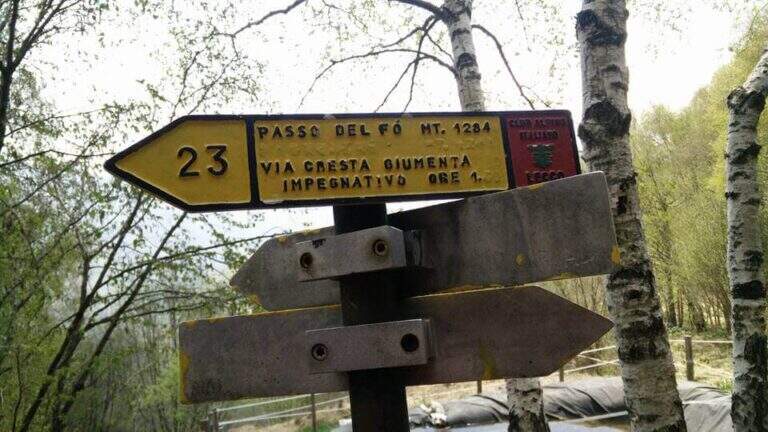
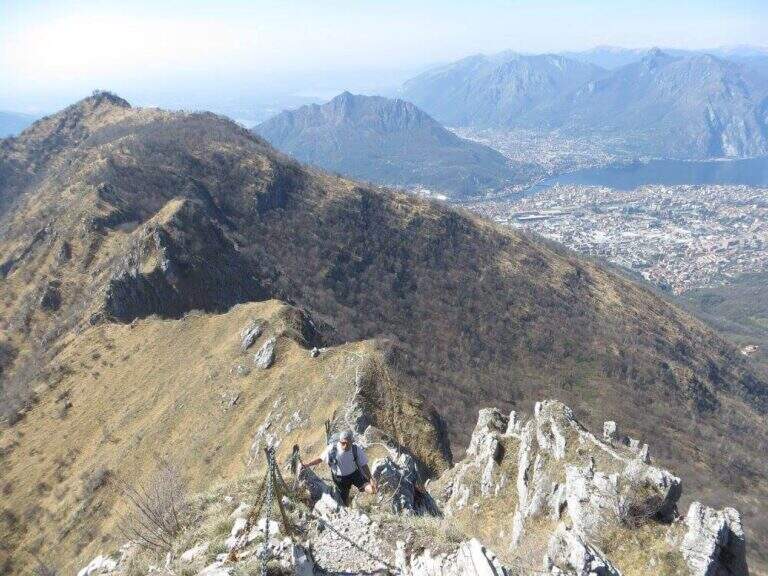
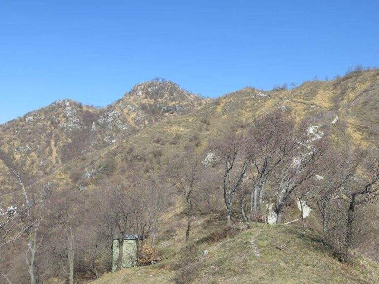
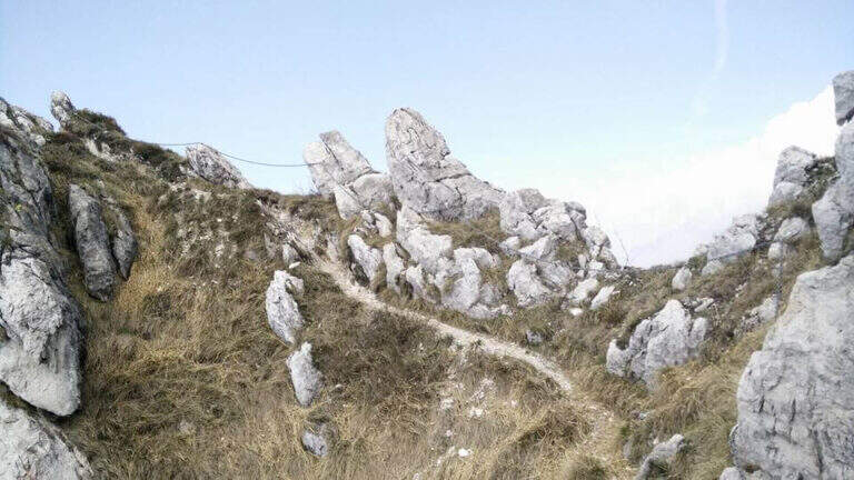
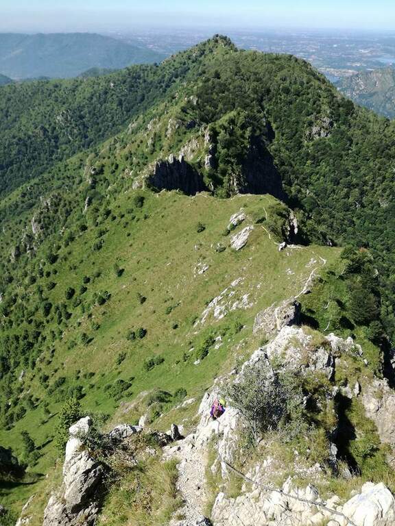
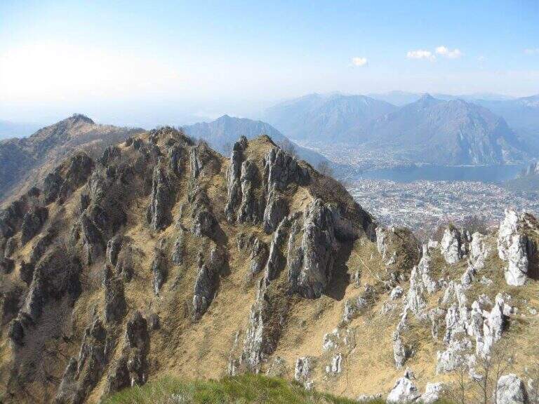
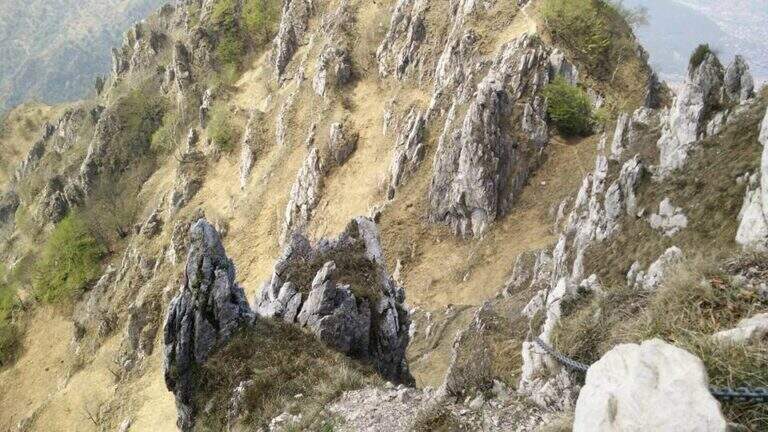
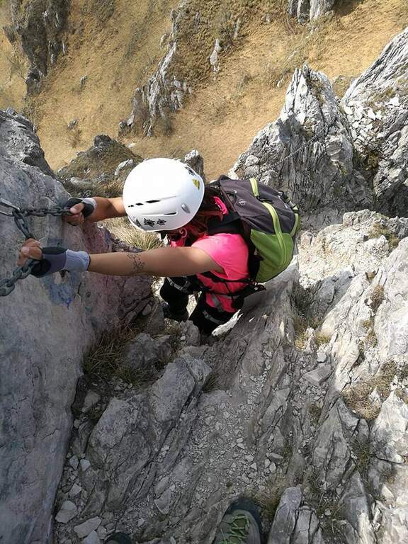
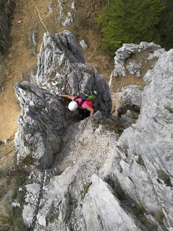
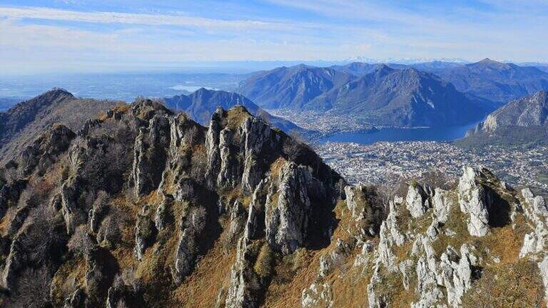
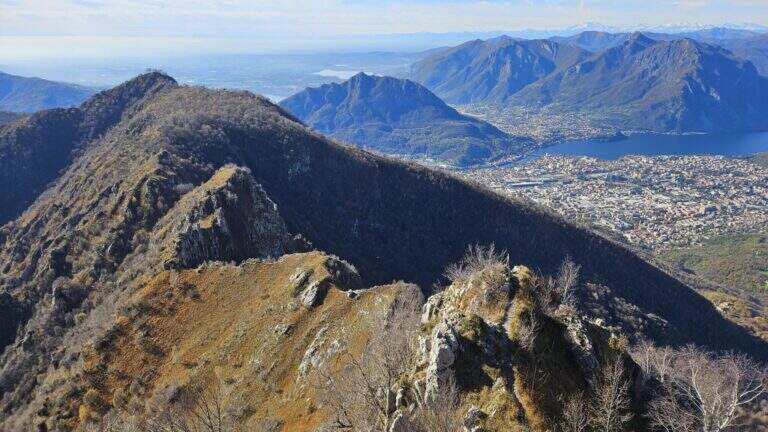
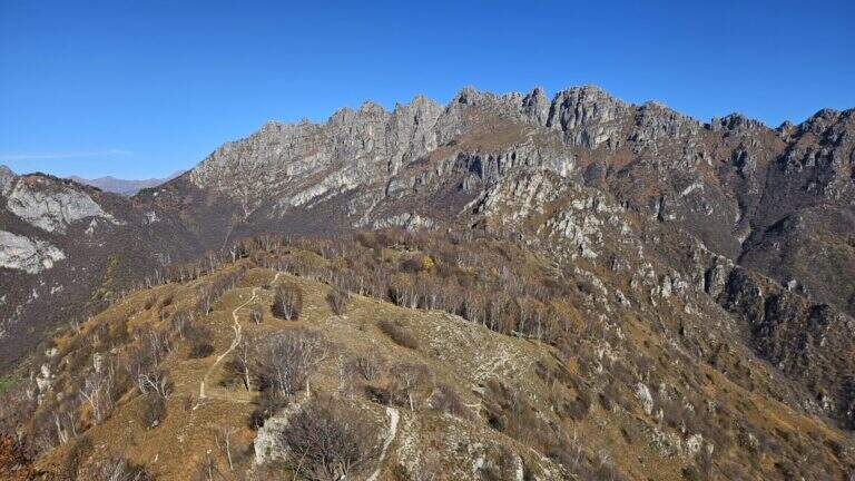
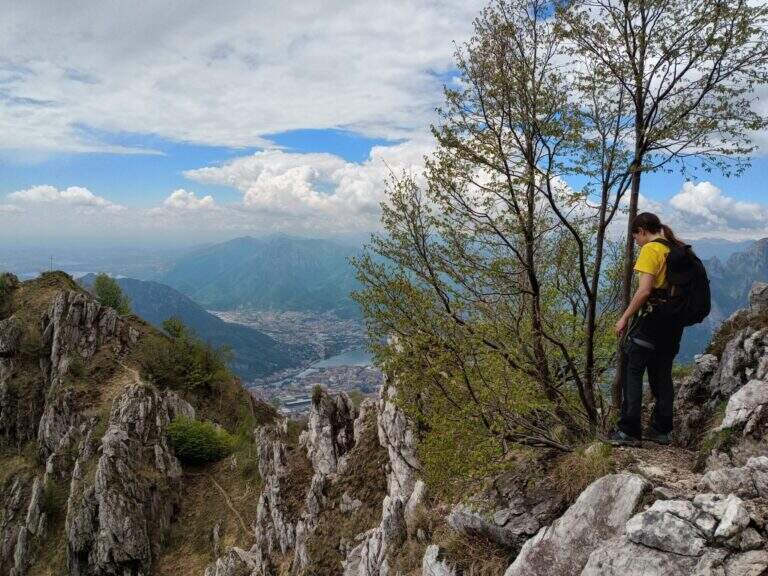
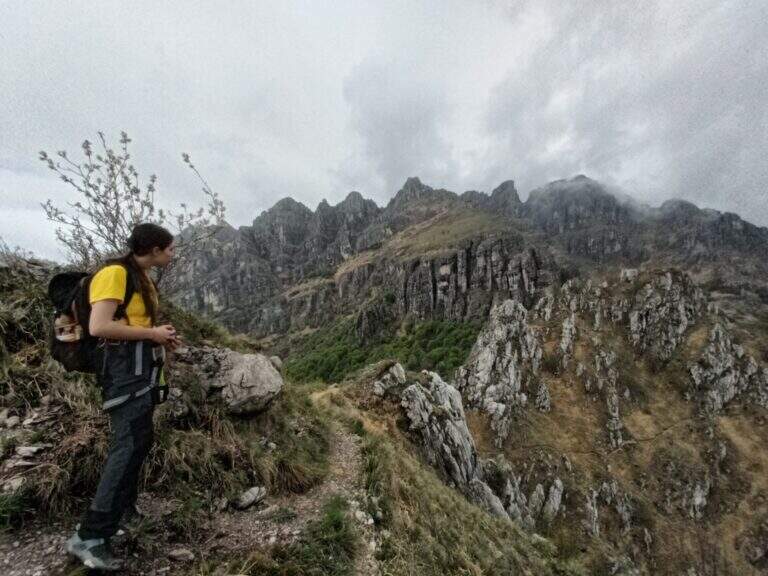
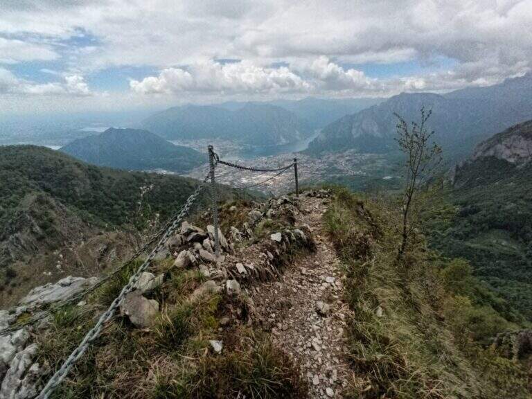
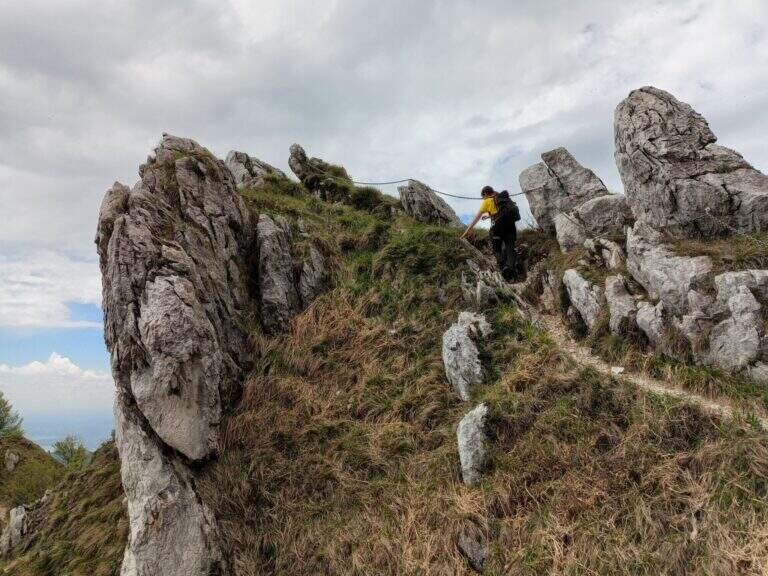
The Path Attrezza della Cresta Giumenta is a scenic ridge route that winds between Monte Magnodeno and Passo Fò, under the Resegone. It is very panoramic and in some sections exposed, but protected with chains for self insurance. You can walk in both ways: in the direction of Magnodeno – Passo Fò is easier, because the most challenging stretches face uphill.
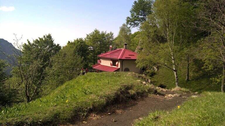
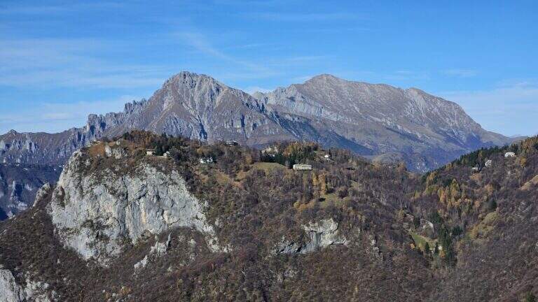
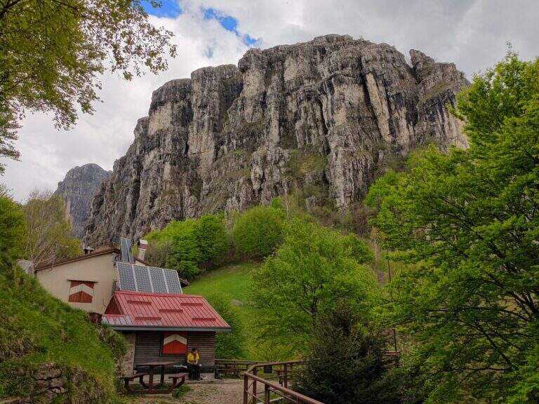
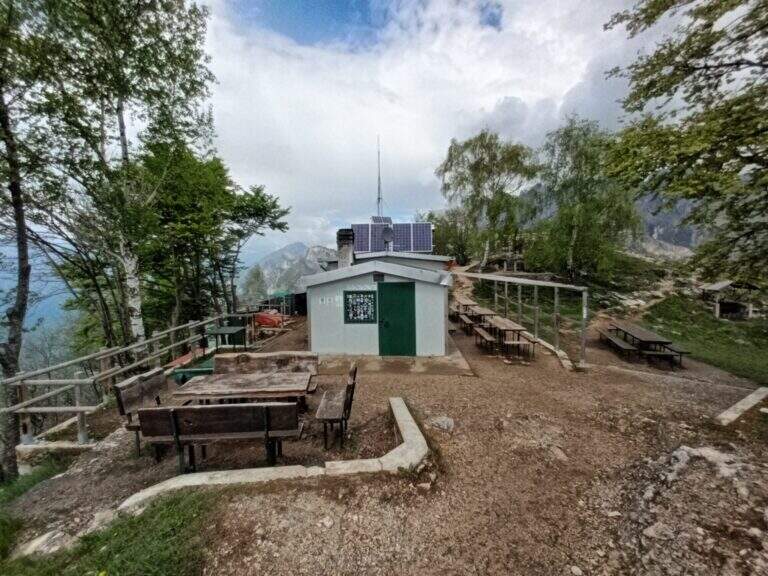
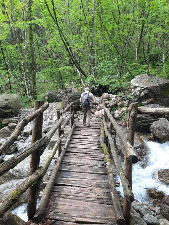
From the large square of the cable car to Piani d’Erna, in Lecco. Arrived in Lecco from the highway that connects the city with Ballabio and Valtellina, at the exit of a gallery take the exit with the clear indications for “Piani d’Erna” and climbs between hairpins to the square (open up Google Maps). The path connects Passo Fò (Monzesi/Ghislandi Alpine bivouac) to Monte Magnodeno (Magnodeno bivouac). To start from the Magnodeno, from the parking lot take the path 1 towards the Stoppani refuge: after about 30 minutes, at a crossroad where on the left continues the path 1 (Rifugio Stoppani), you keep the right towards the Azzoni refuge and Campo de Boi; further on, to another crossroad where on the left the path 1 goes to Erna and to the Azzoni refuge, you go straight on the 25A for the Magnodeno refuge Alternatively, from Passo Fò, you can reach it from the mountain station of the cable car along the path 5 (50′) or from the car park following path 1 to the junction with 6 (1h30).
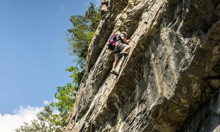
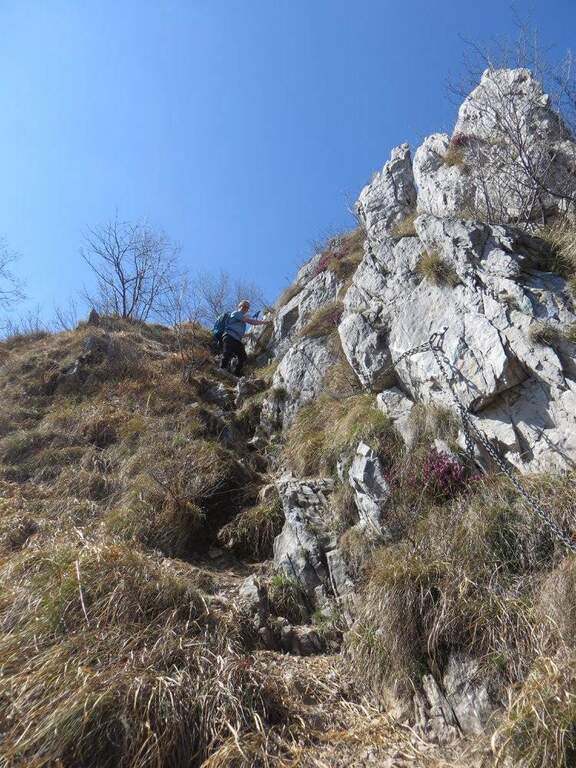
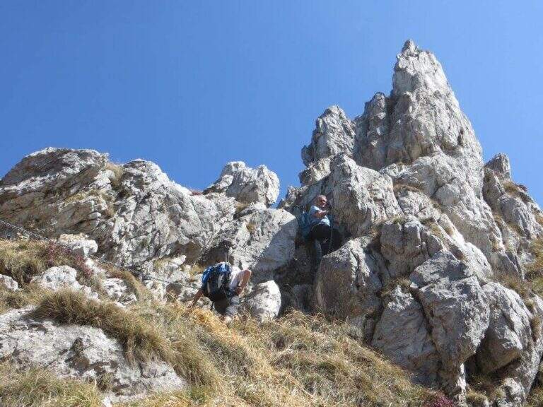
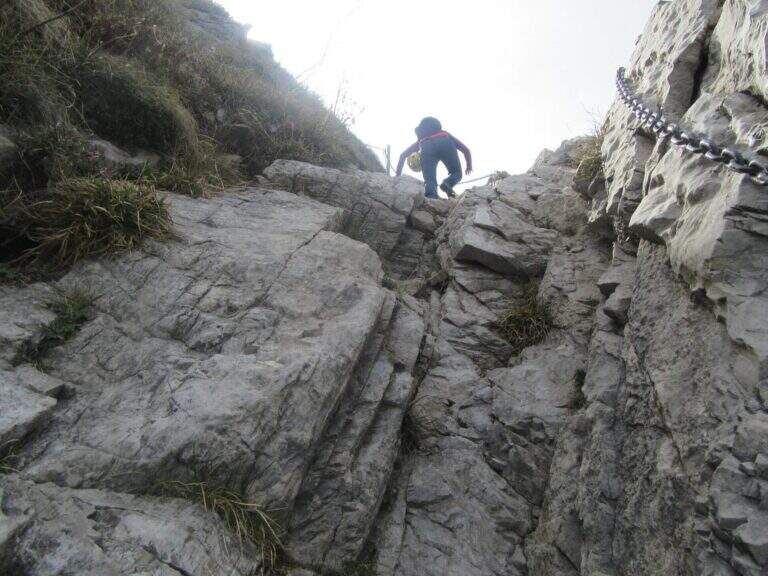
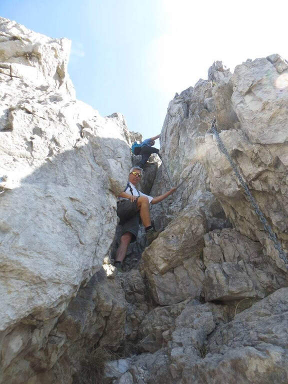
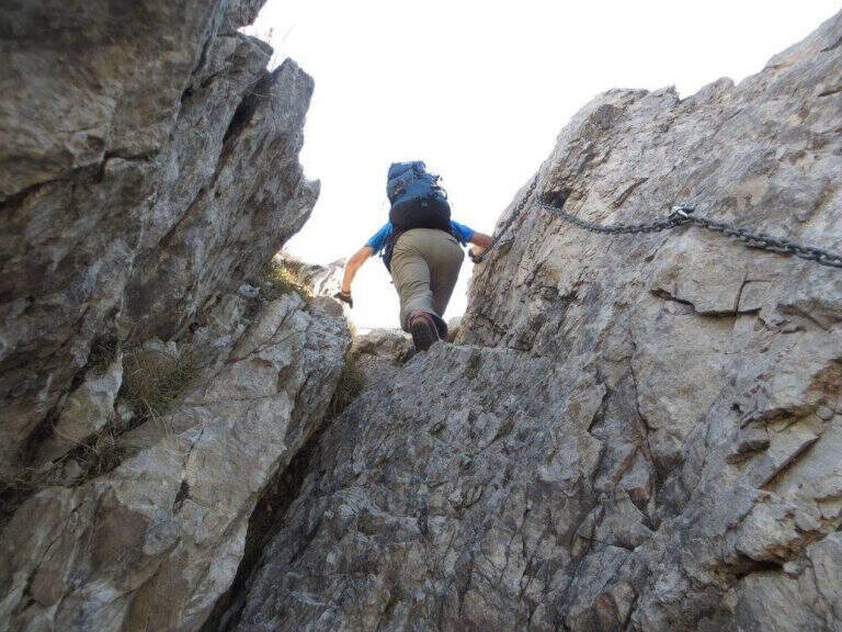
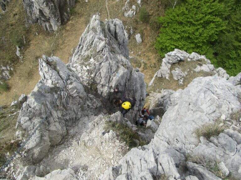
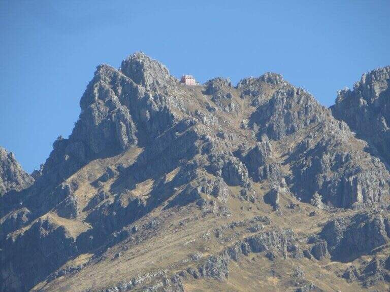
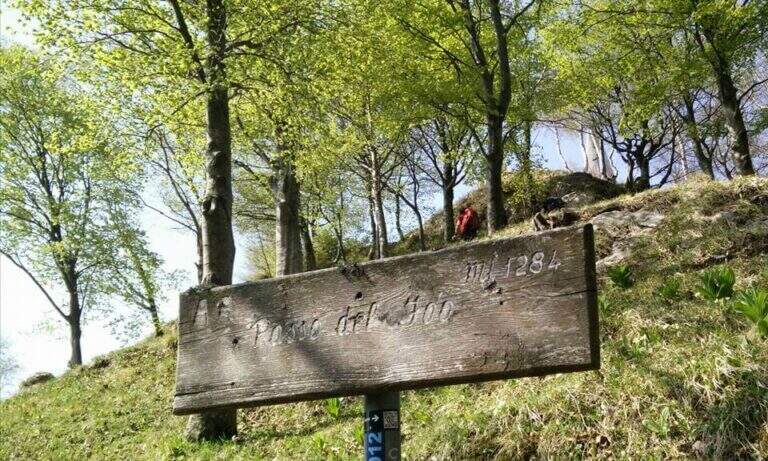
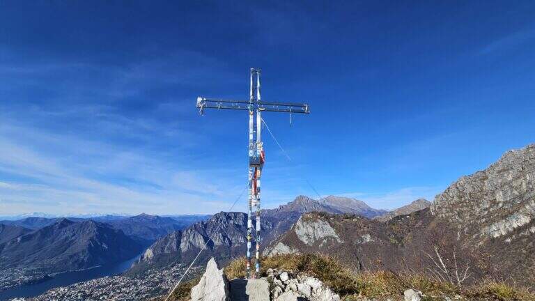
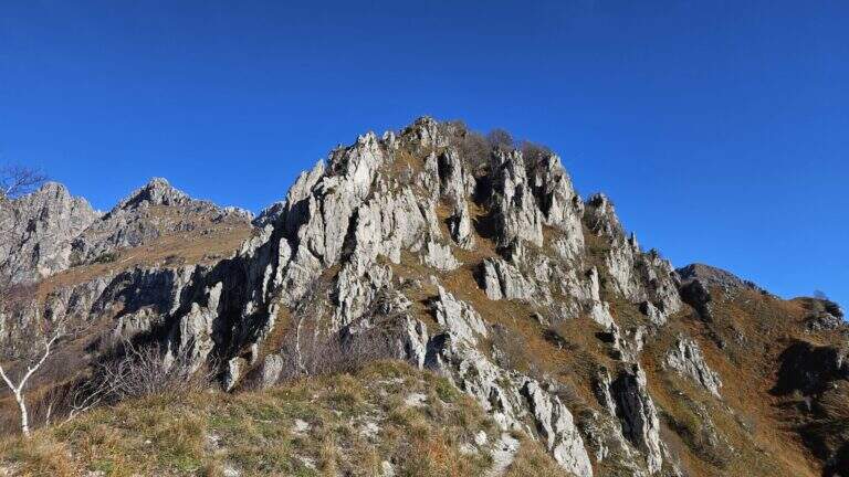
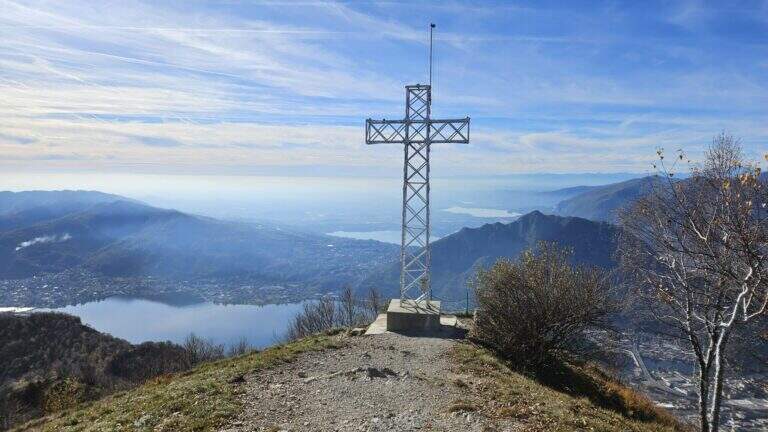
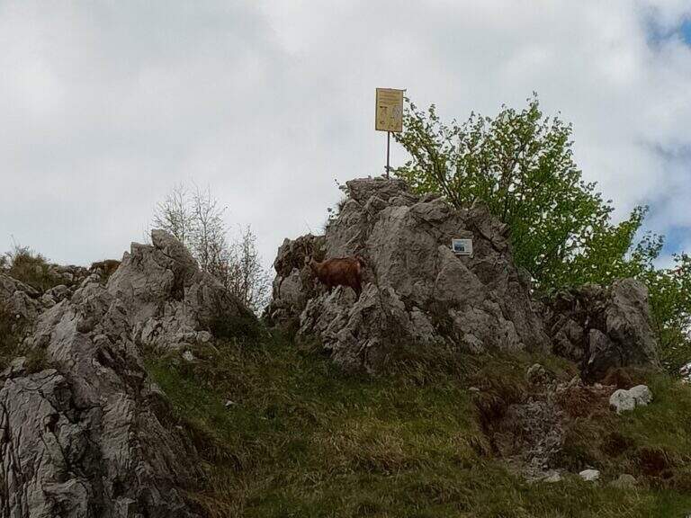
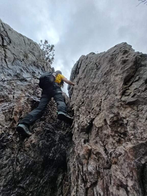
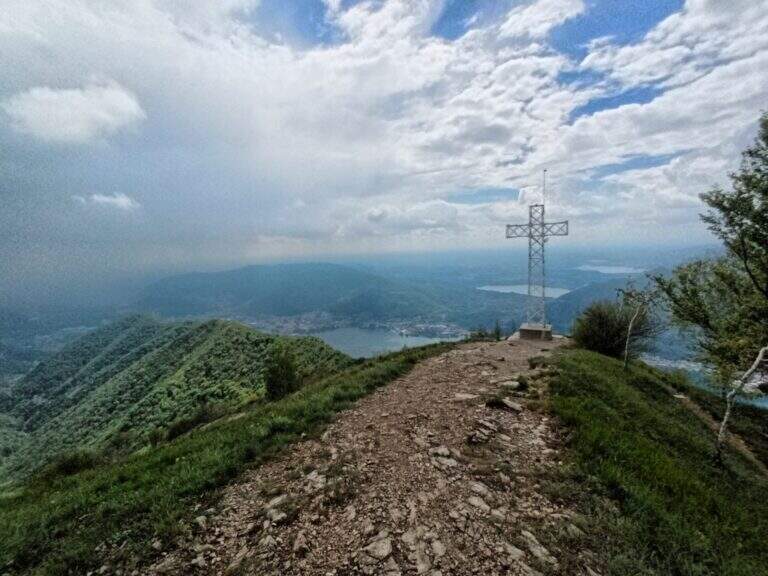
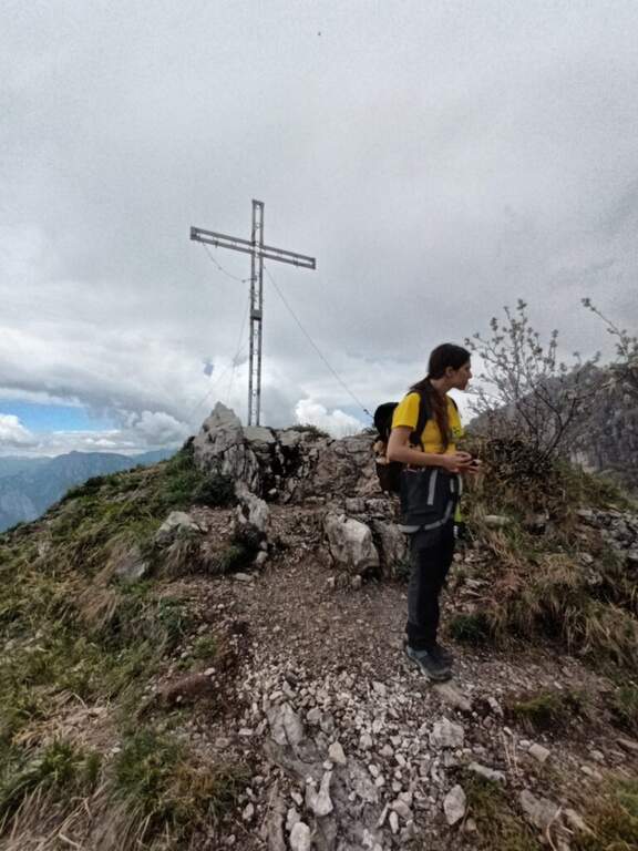
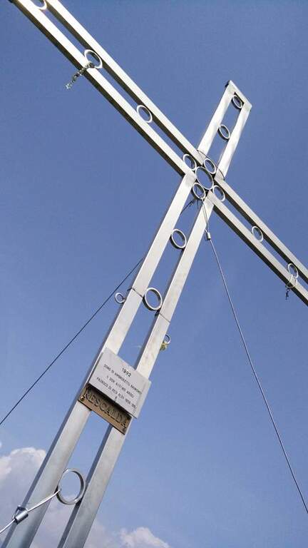
We describe the meaning Monte Magnodeno – Passo Fò. From the peak of the Magnodeno you descend a few meters helping with some chains up to a first crossroads for the Alpine hut Monzesi; you continue briefly in that direction up to a fountain with bench, where a signposted crossroad indicates on the left the Cresta di Giumenta. Exit from the wood with a half-coast stretch you reach the beginning sign of the equipped part. It begins with a downhill stretch on slippery rocks, then a second stretch equipped in climbs; therefore a long stretch of crest, not difficult but exposed, with the chain present almost everywhere. Risaled a tower, the crest leads to the most challenging and satisfying section: a series of towers that lead to the Cima del Fò, partly laughtered and partly wandered with the help of the chain and, in some cases, of the rope with sheath; stand out a couple of small walls, short but more climbing than the rest. At the end of an exposed tower you return to the crest until a first technically more difficult canal; a climb between towers and saddles engages for 10-15 minutes until the Cima Fò with its cross (1348 m), from which is clearly visible the Azzoni refuge in the summit of Resegone. From the top you go down to a saddle where, on the right, you start a way of escape that avoids the last difficult stretches, while on the left continues the equipped; staying on the crest you get to the key passage, a channel that climbing takes the look of a fireplace, to rise for about ten meters. Finally, there are a few short rocky pillars up to the monument to the Falls of the Mountain and then to the Passo Fò (1284 m, 1h30 from the attack, 3h30 overall), under the bastion on which the Ferrata del Centenario and the Sentiero Attrezzato del Caminetto, natural continuations of the route.
Although it is not difficult, some stretches are exposed and, if you go downhill, require attention: for this the Magnodeno sense – Passo Fò, which faces uphill the most challenging steps. The chain, present along almost all the way, allows a comfortable self insurance; the more technical points are a canal and the fireplace of the key passage.
Itinerary for the hiking season (max. 1348 m). The development is long and ridge: it serves good management of the step in the exposed sections and a minimum of habit to the equipped excursions.
The descent depends on the chosen direction: you can use the other of the two approaching options as a way back to the end of the path, reducing the time needed by a 20% indicative.
At Passo Fò the path naturally connects to the bastion of the Resegone, where the Ferrata del Centenario e il Sentiero Attrezzato del Caminetto, its ideal continuations.
- DifficultyEasy
- RegionLombardy
- GroupResegone
- Approach2:00 h
- Ferrata1:30 h
- Itinerary (a/r)5:00 h
- Hardware level difference200 m
- Route difference850 m
- Max1348 m
- Length9,8 Km