
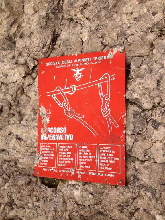
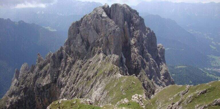
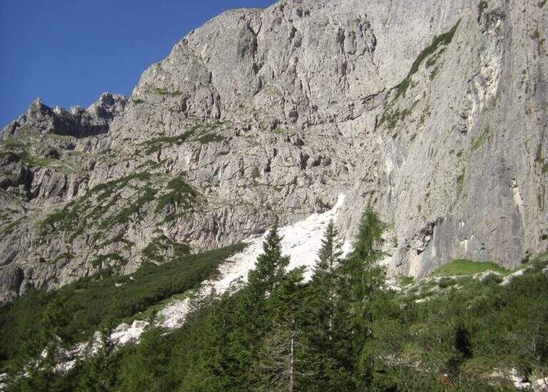
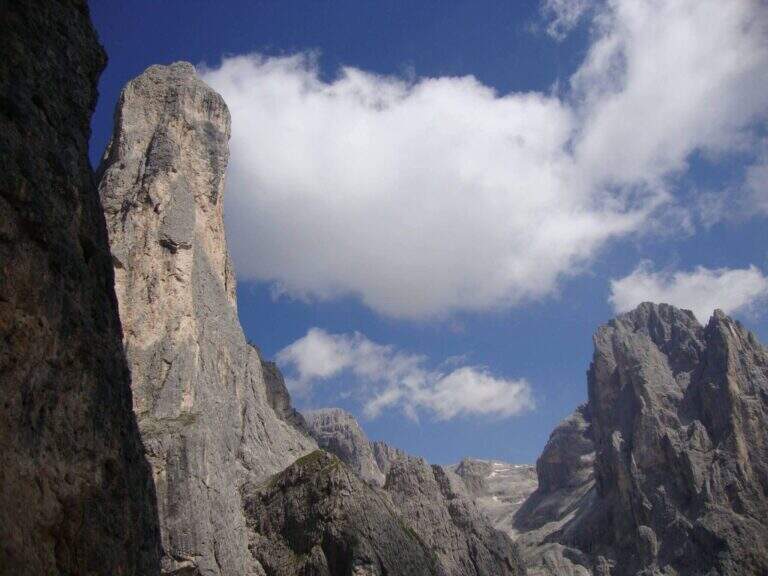
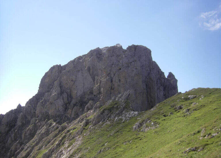
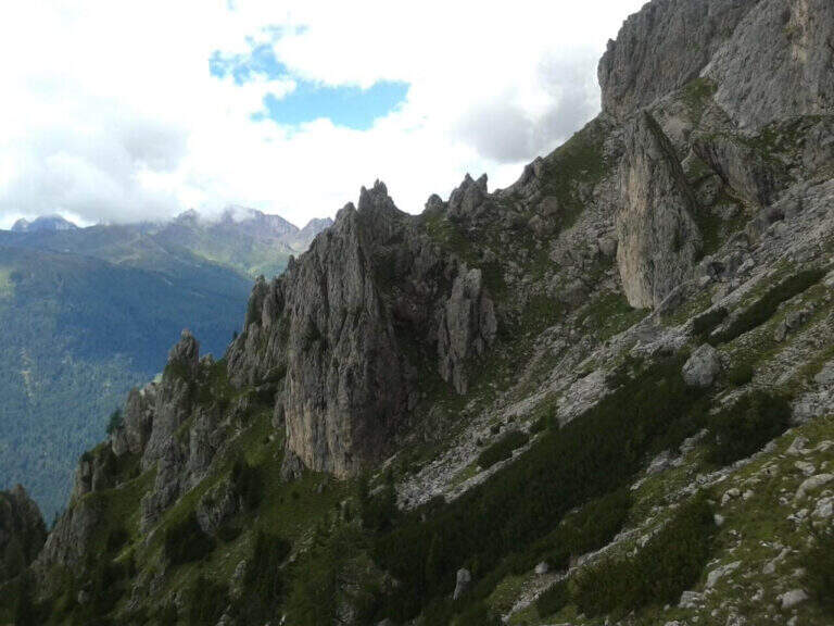
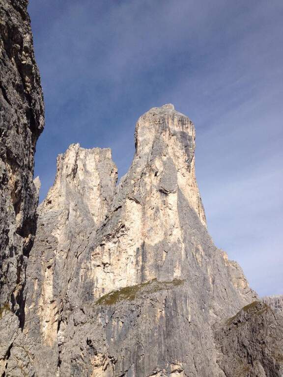
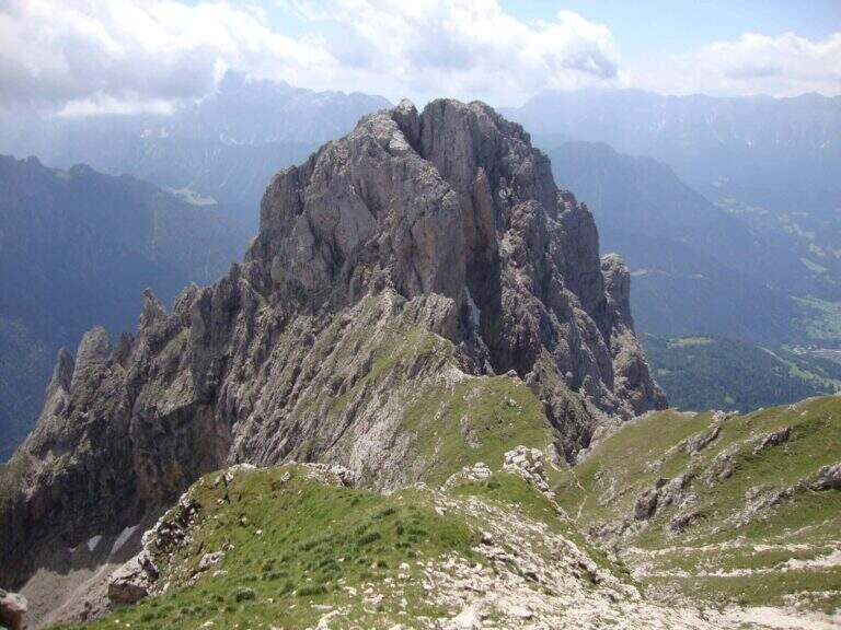
The Path Atrezza del Cacciatore dates back to the eastern wall of Sass Maor, in the Pale di San Martino. It is a route with a high level and quite long, but not difficult from a technical point of view, immersed in one of the most spectacular environments of the Dolomites.
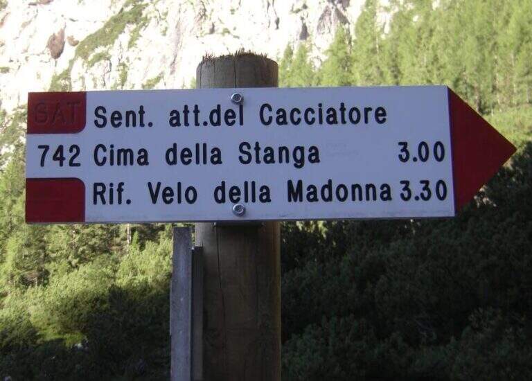
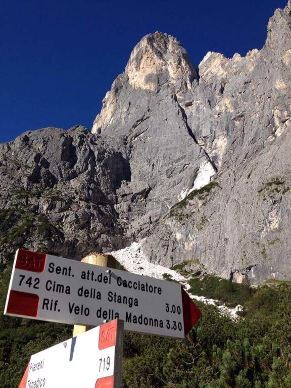
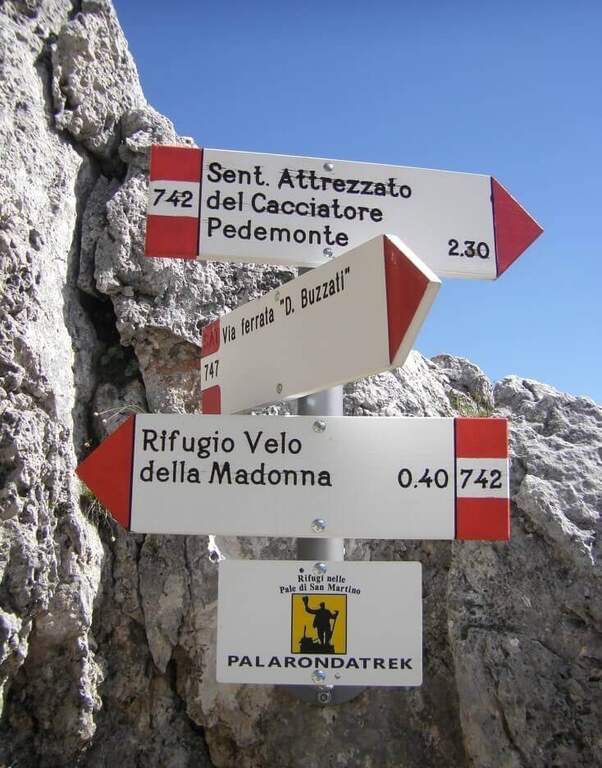
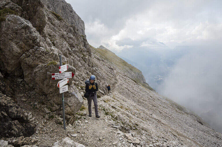
The starting point is in Val Canali, in the locality of Prati Fosne. To reach the Val Canali follow the SS 347 of Passo Duran: coming from Fiera di Primiero (TN) you continue for about 5 km towards Agordo up to a wide bend with clear indications for the Val Canali, then you go up the valley, you pass a wide bend to the left and you continue on narrow road and sometimes dirt until the Hotel Casera; at the intersection near the hotel you take the right parkingopen up Google Maps). The Cacciatore is often combined with the nearby Ferrata Buzzati as a way back; here we propose it uphill, with return along the Path Attrezzato Depaoli passing through the Rifugio Velo della Madonna. From the village of Fosne you follow the road and in short you leave it for the signpost 719, which climbs moderate slope, first in the woods; exit from the forest you proceed north up the Val Pradidali in falsepiano until the fork in the locality Pedemonte (1h30 from the parking lot): while right you will go up to the Rifugio Pradidali, you take the left on the signpost 742, which with steep eastern parking.
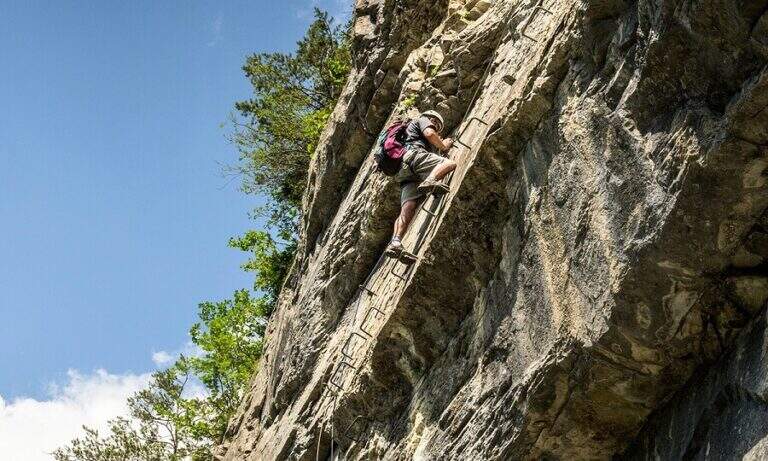
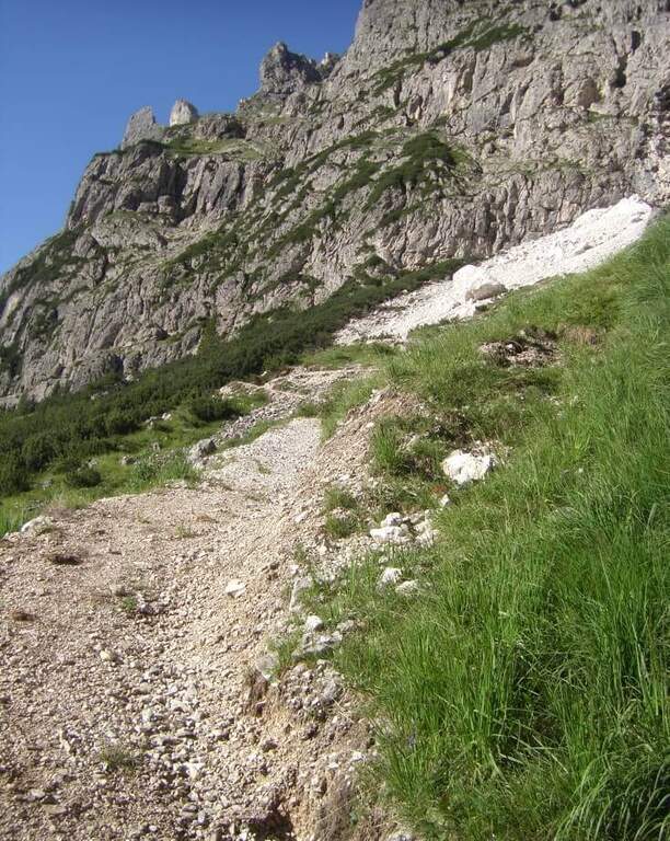
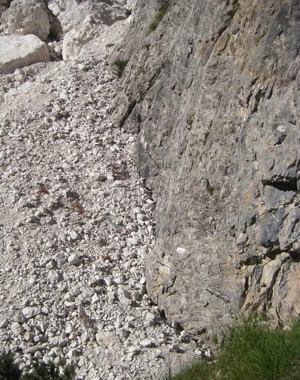
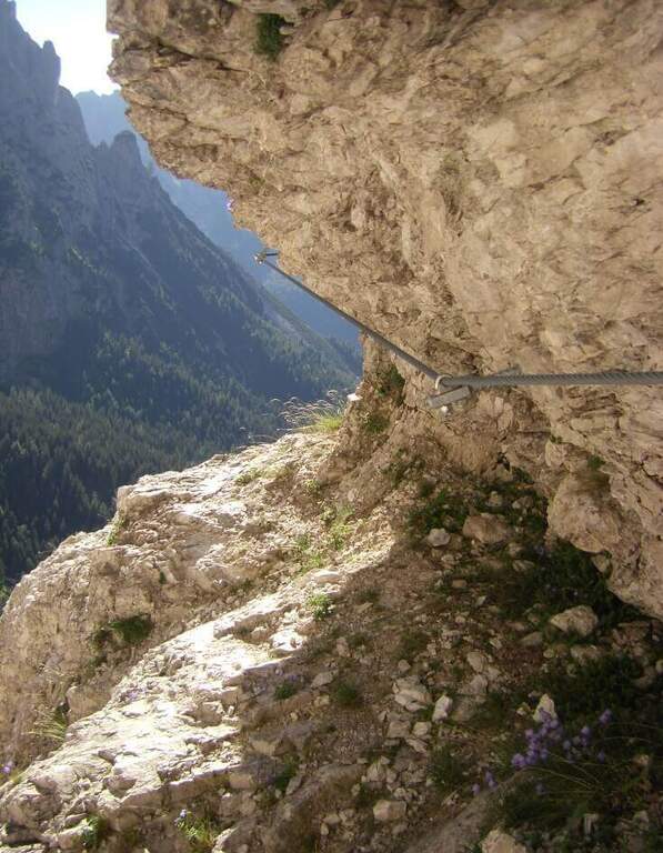
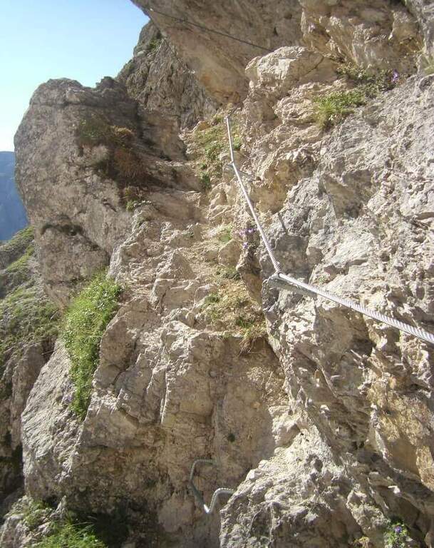
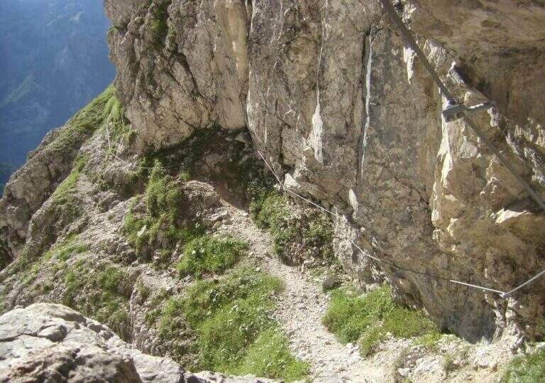
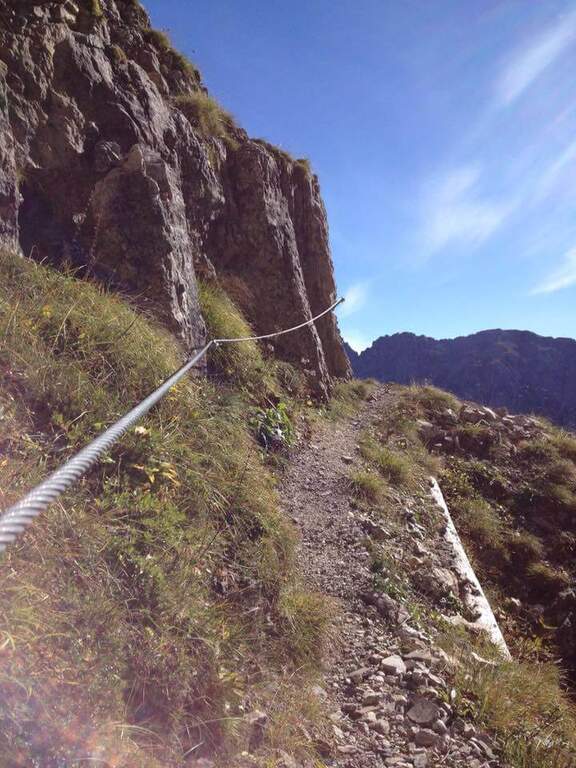
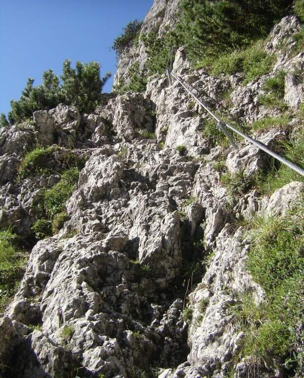
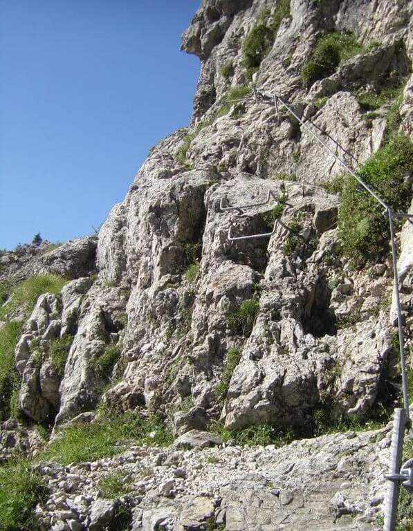
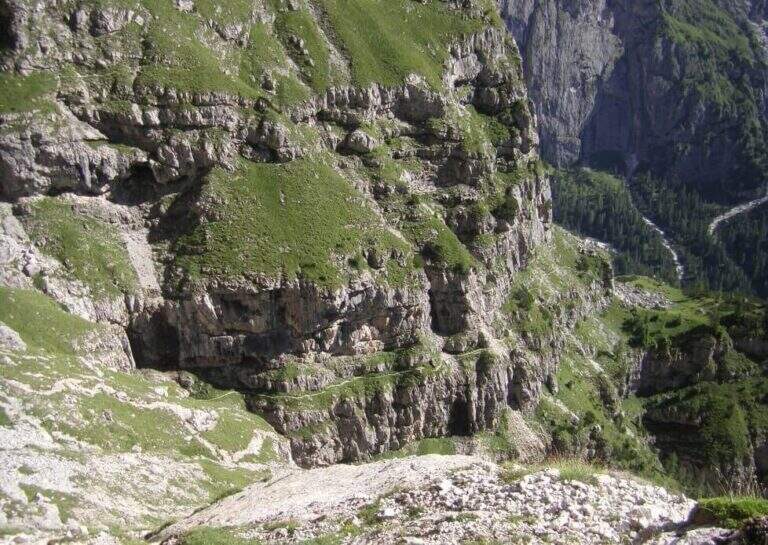
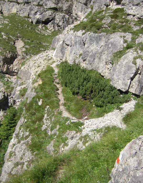
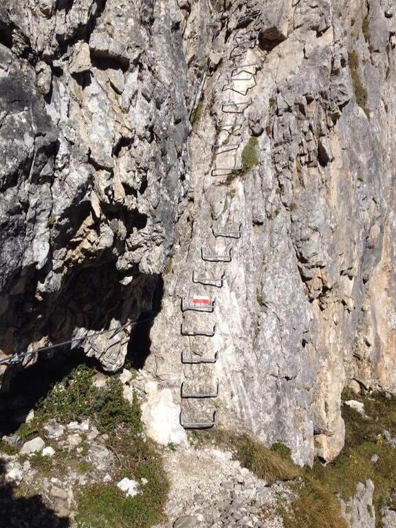
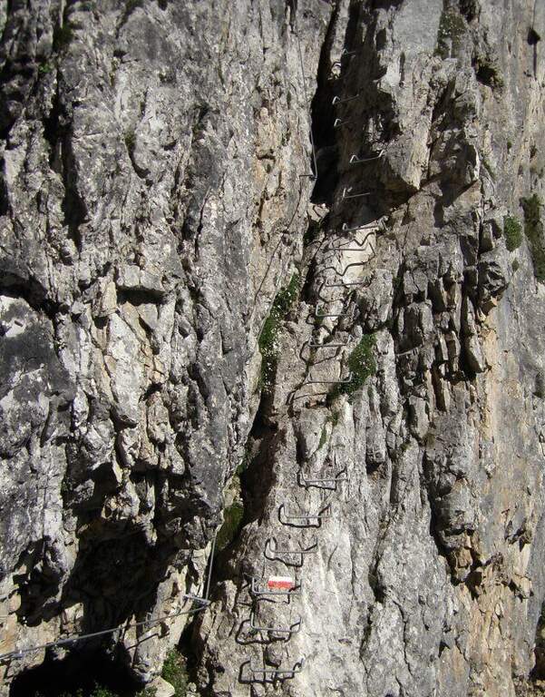
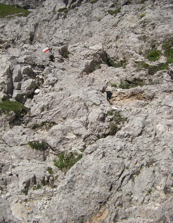
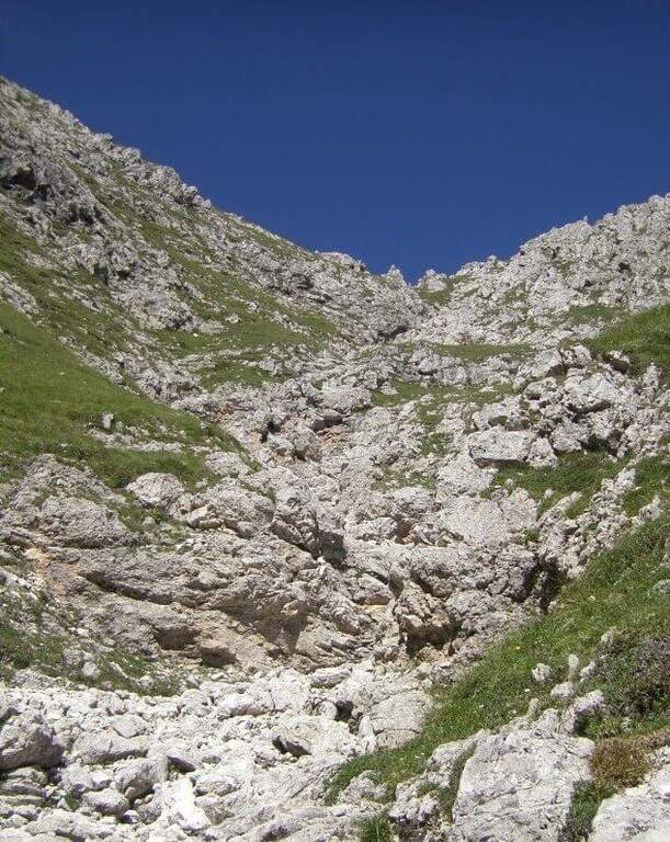
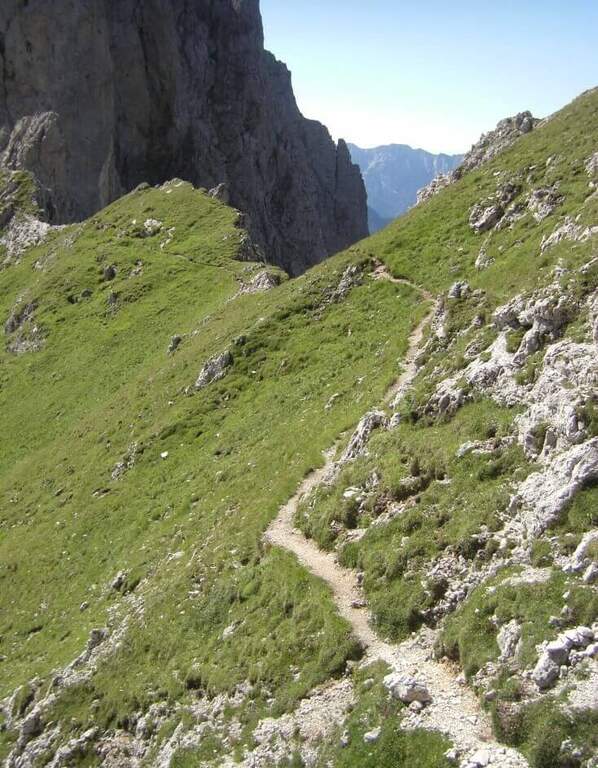
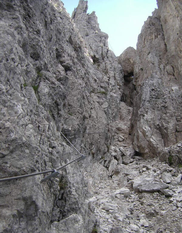
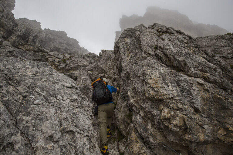
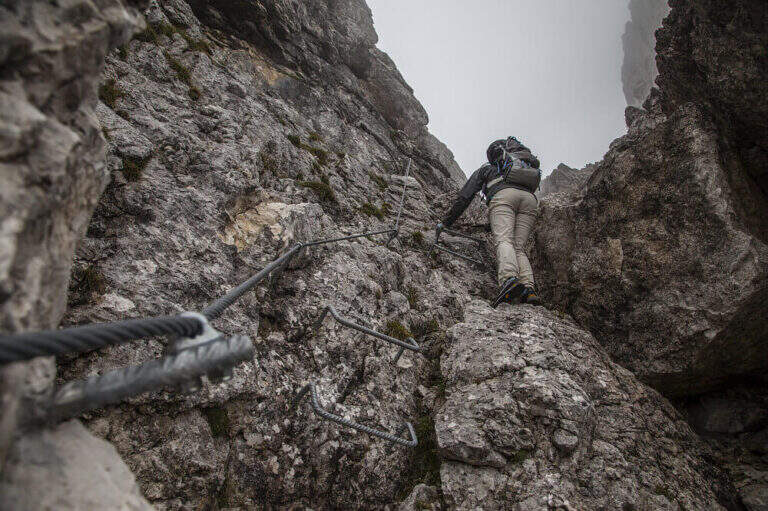
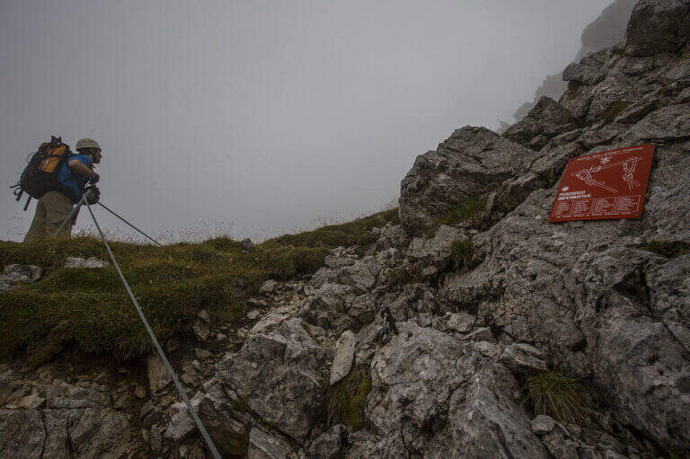
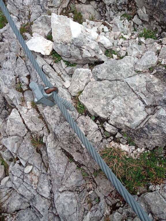
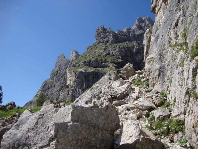
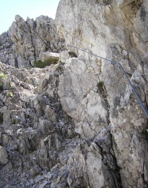
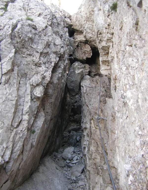
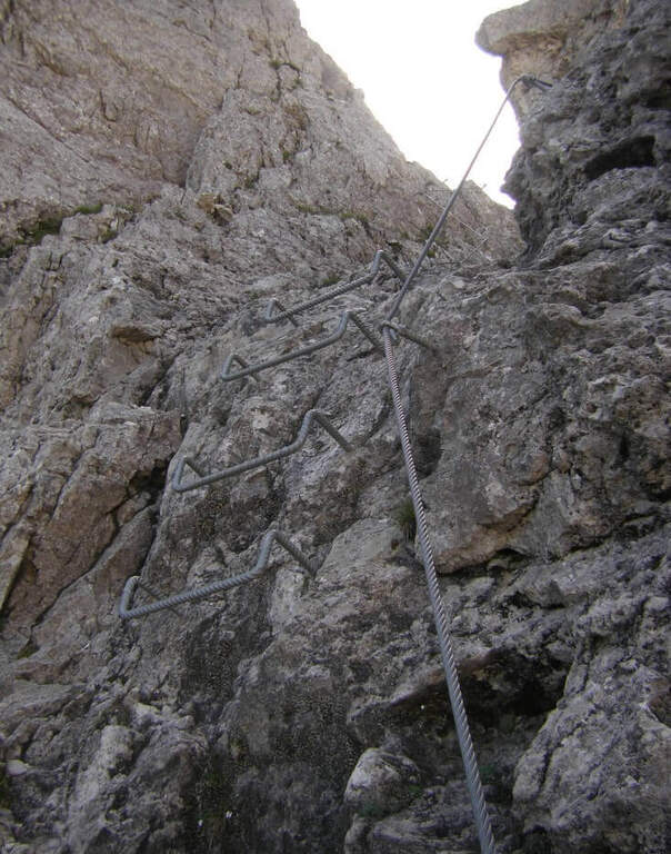
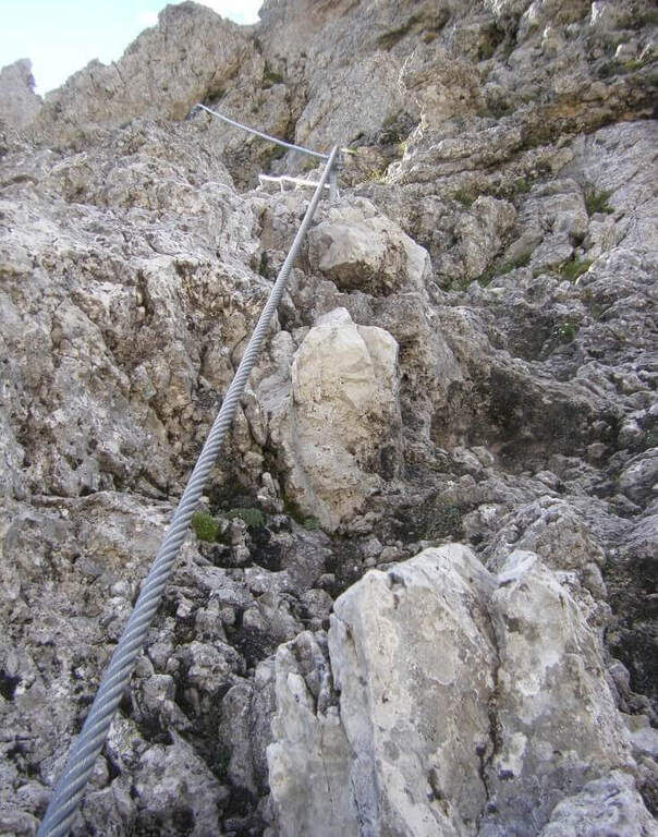
It goes up with the equipment the area affected by the landslide up to the original attack of the path; it is around a edge and climbs to the left on a census to exposed sections, which continues under the overhanging walls of the Sass Maor. The ascent is pleasant and alternating stretches of nod protected with short climbing rocks and without difficulty, with some metal brackets in the more vertical passages: these new fixtures, added in the last maintenance, have considerably reduced the challenging traits of this historic path. We continue on a long line from the grassy bottom, in constant exposure, until we wander around a spur and enter the valley that separates the Cimerlo from the Sass Maor; crossed a stretch on unstable background we reach what was the key point of the street, a challenging dihedron that today rises thanks to a long series of metal cambres, which reduce if they do not eliminate the original difficulties. Exit from the passage, in a mixed valley of stones and grass follow the white red signs up to the fork (2410 m, 2h30 from the attack), reached with tiring but not difficult climb, where the itinerary ends.
The route is long and with a considerable difference in altitude, but the technical difficulties are reduced: it serves mainly caution in the various unequipped sections. The only challenging passage of the original layout, the dihedron, is now equipped with many brackets and therefore greatly facilitated.
High mountain summer itinerary (max. 2550 m). The challenging development and exposure of some cenges require good physical preparation and steady step.
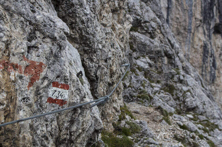
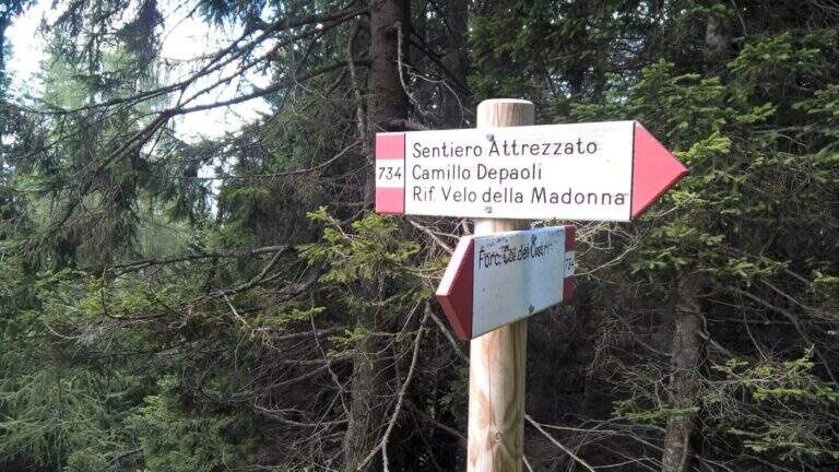
From the fork you have two options: on the left, along the initial ridge path with 747 signpost and then for equipped stretches (described in the report of Ferrata Buzzati), you reach the eastern spallone of Cimerlo and you can climb to the summit (1h from the fork); on the right, on the trail 742, you go up to the Passo della Stanga (2530 m) and you go down to the Rifugio Velo della Madonna (2358 m). Following this second option, from the refuge take the signpost 734 of the Attrezzato Path Depaoli, which brings back to the parking lot along the western walls before the Stanga and then of the Cimerlo: you face some stretches equipped not difficult — a canal, some cenges, an easy fireplace — until the end of the complex equipment, then cut halfway with beautiful views, gradually losing altitude until Fosne (3h Velo).
Classical matching is with Ferrata Buzzati at Cimerlo, often used as a way back. In the same area there is also the Ferrata del Velo della Madonna.
- DifficultyModerately Hard
- RegionTrentino-Alto Adige
- GroupPale di San Martino
- Approach2:00 h
- Ferrata3:00 h
- Itinerary (a/r)8:30 h
- Hardware level difference650 m
- Route difference1370 m
- Max2550 m
- Length14,2 Km