
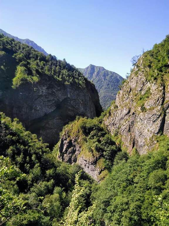
The Sentiero Attrezzato del Fiume runs uphill through the picturesque hill of the river Era in the surroundings of Mandello del Lario, offering a low altitude hike through almost all seasons.
How to arrive and approach
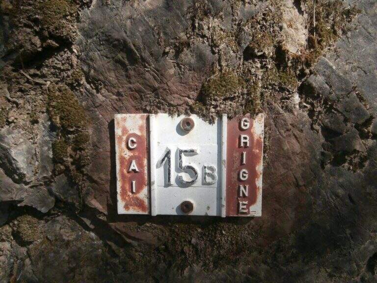
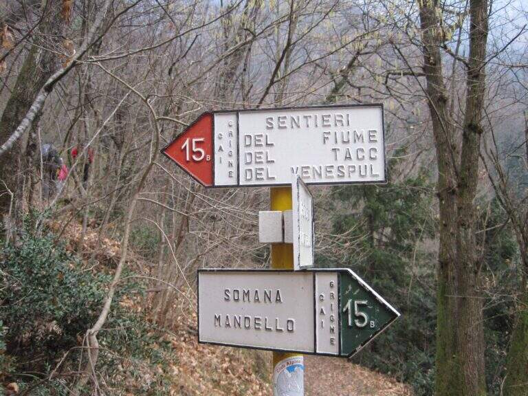
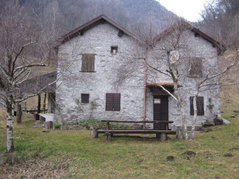
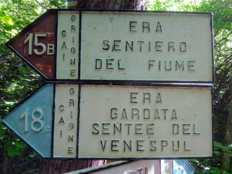
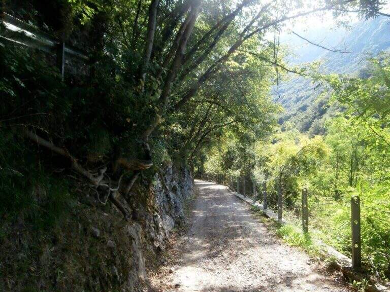
The starting point is located in the hamlet of Sonvico, in the municipality of Mandello del Lario (LC), reachable from the Larian state leaving in Abbadia Lariana and following the signs for Mandello del Lario. From Mandello you go up to the hamlet of Somana and then towards Sonvico. At the crossroads you will find some parking options. From the parking lot follow the signs: the route is marked with the number 15B. You walk on a false plateau in the woods to a fountain (at the crossroads you hold the left), then still on the floor until a second pole (newly on the left), then in a slight descent to the river Era, where the route begins (about 30 minutes from the parking lot).
The path
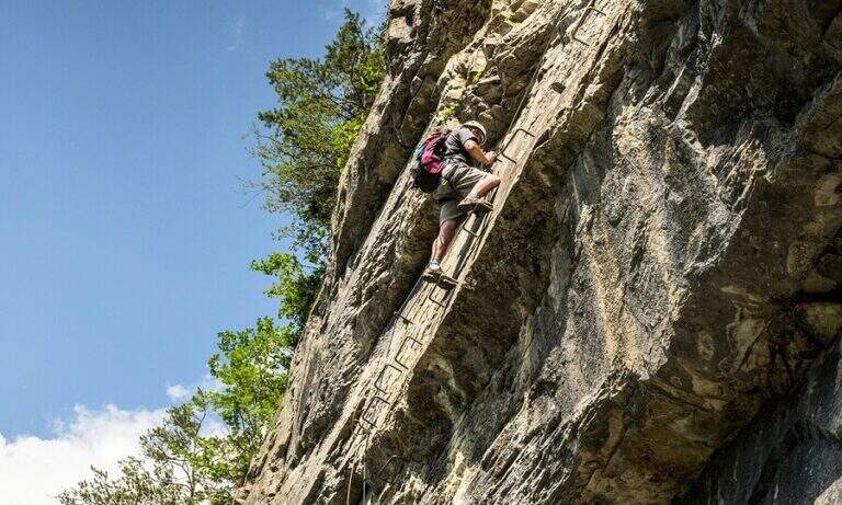
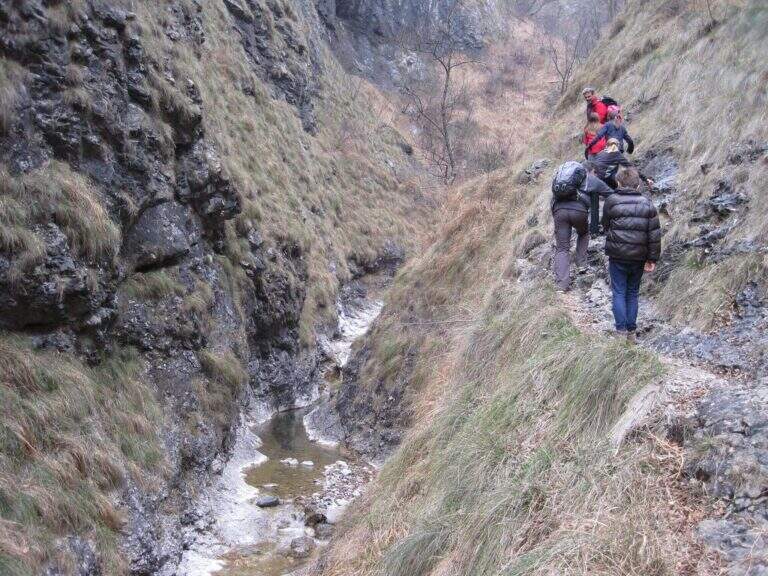
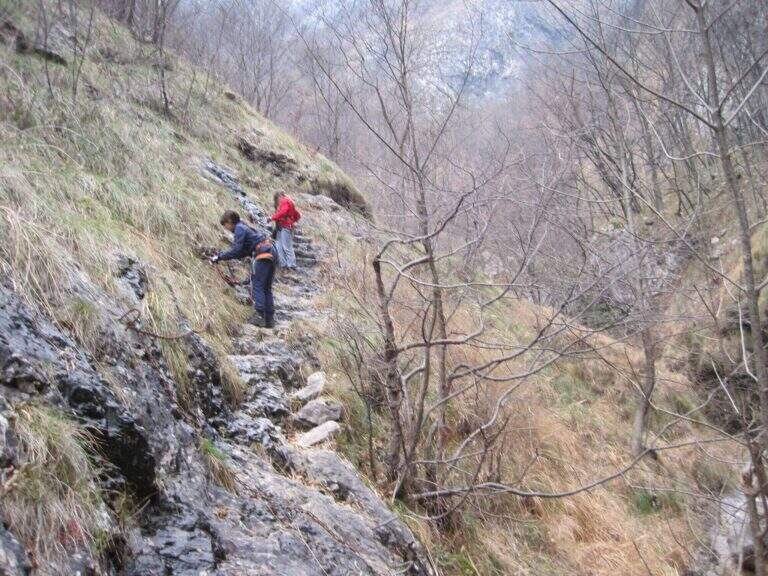
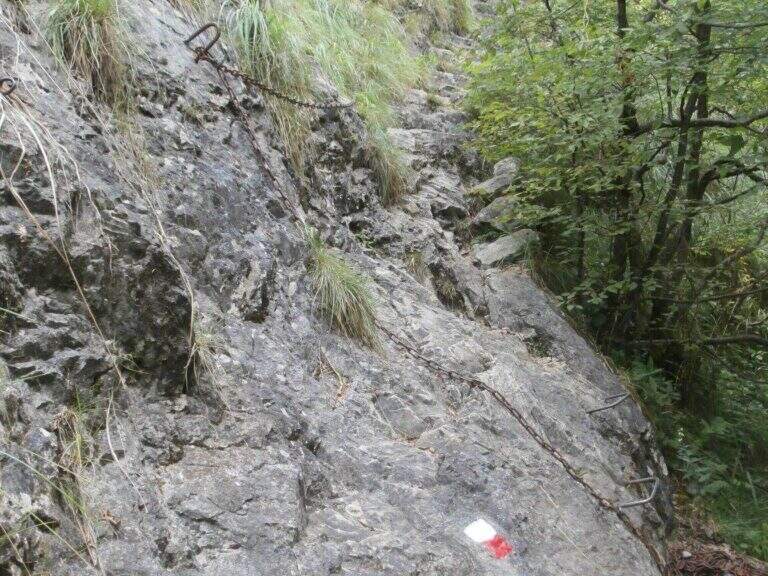
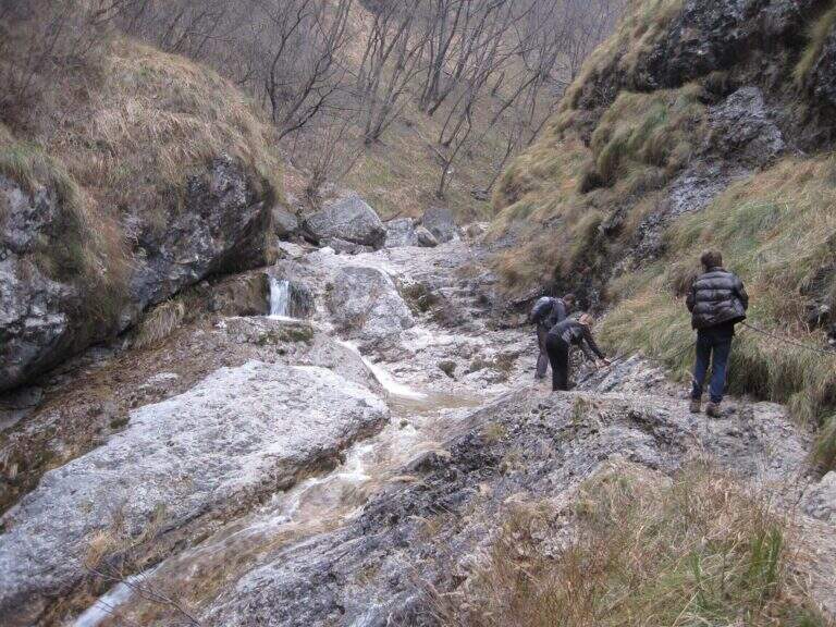
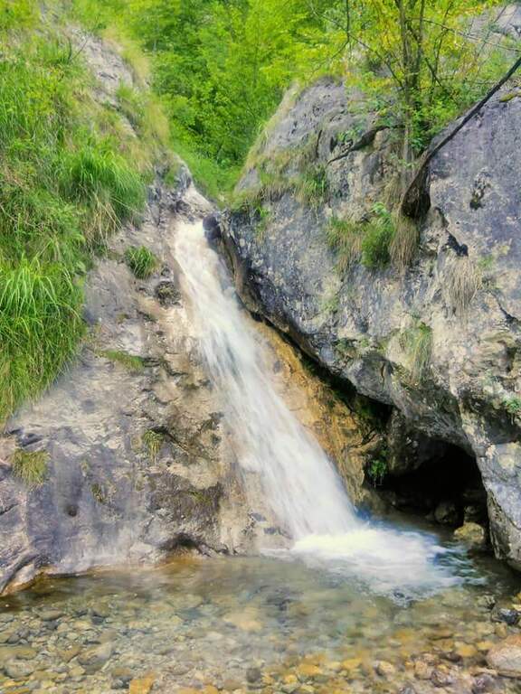
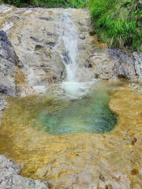
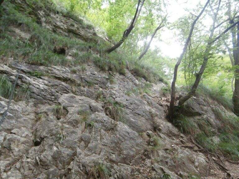
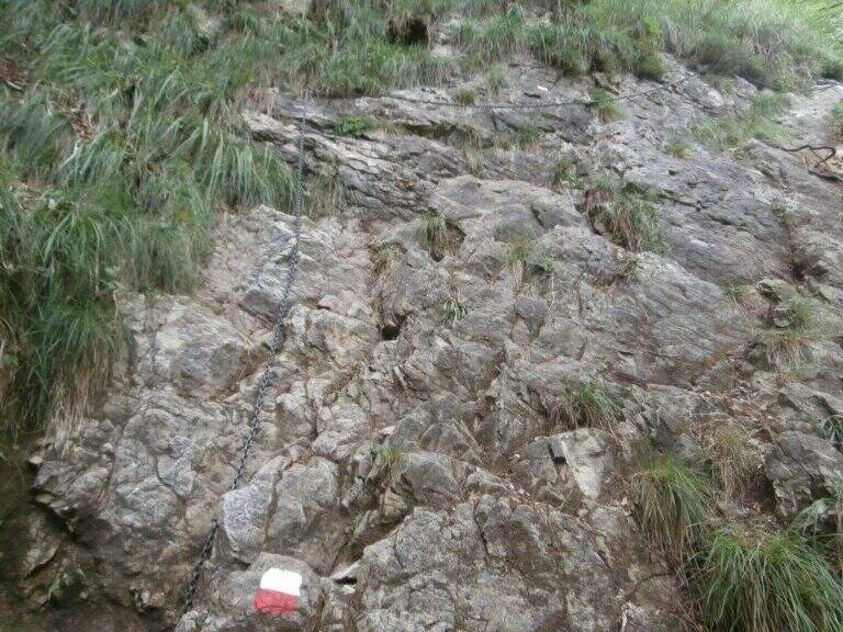
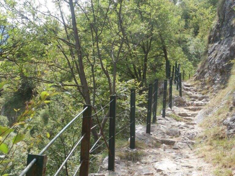
The path, marked with red and white-red signs, develops mainly on the left bank of the river Era. After a first forado you will meet the stretches equipped with chains that ensure the most exposed steps. The itinerary alternates uphill stretches and descent, with the noise of the water always present. A second time you cross the water course, taking you to the right bank, and gradually climb up rocky ridges. In close proximity to an area of rapids and particularly scenic waterfalls there is a cross equipped with metal brackets. The longer vertical stretch — about 6 meters — goes up with excellent hooks for hands and feet. Some concluding rocks and a traverse to the right complete the equipped section (about 1 hour from the attack).
Character and difficulty
Despite the low altitude and brevity, the route has high difficulty passages due to the presence of vertical rock traits requiring progressive technique. The sections with chain are interspersed with stretches of unequipped path in which it is essential not to miss the signs. Difficulty: Hard. It is recommended equipped by ferrata (imbrago, longe, helmet) for vertical stretches. The low altitude and the surrounding wood keep the route fresh even on summer days.
Period and safety
It can be traveled almost all year thanks to the maximum modest quota (about 850m). It is essential to avoid the route in case of full of the river Era: some sections take place in the river bed or very close to the water and under high level conditions become impractical and dangerous. Be careful to keep the signs in particular in the stretches where the path crosses the same bed of the stream.
Discipline
At the end of the equipped route there is a pole with the signs. To return to the parking lot of Sonvico descends left on path n. 15, which leads to the starting point in about 1h15′ (3h30′ total for the entire excursion). There are at least two other variants of descent to the Mandello del Lario area.
To match
From Mandello del Lario there are several routes on the Larian Prealps. Nearby is the Route GER at Monte Coltiglione, more challenging itinerary for length and altitude difference on the same slope prealpino lecchese.
- DifficultyHard
- RegionLombardy
- GroupPrealpi Lombarde
- Approach0:30 h
- Ferrata1:00 h
- Itinerary (a/r)3:30 h
- Hardware level difference250 m
- Route difference500 m
- Max850 m
- Length9,2 Km