
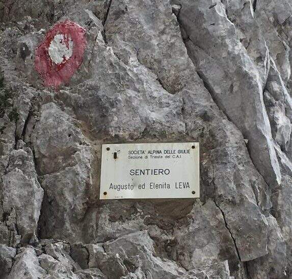
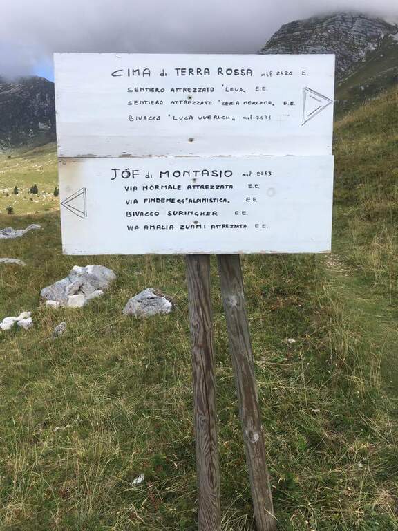
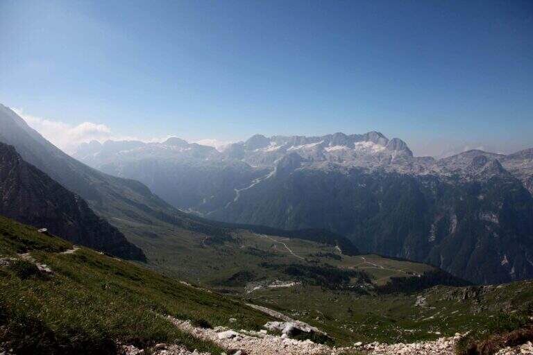
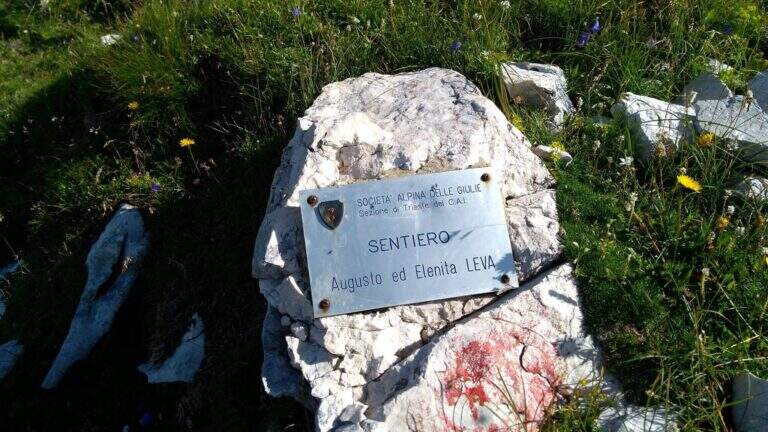
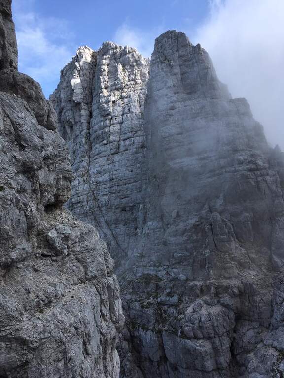
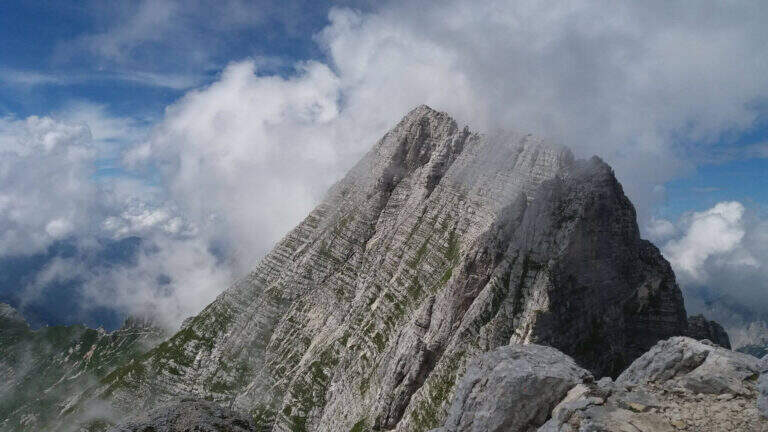
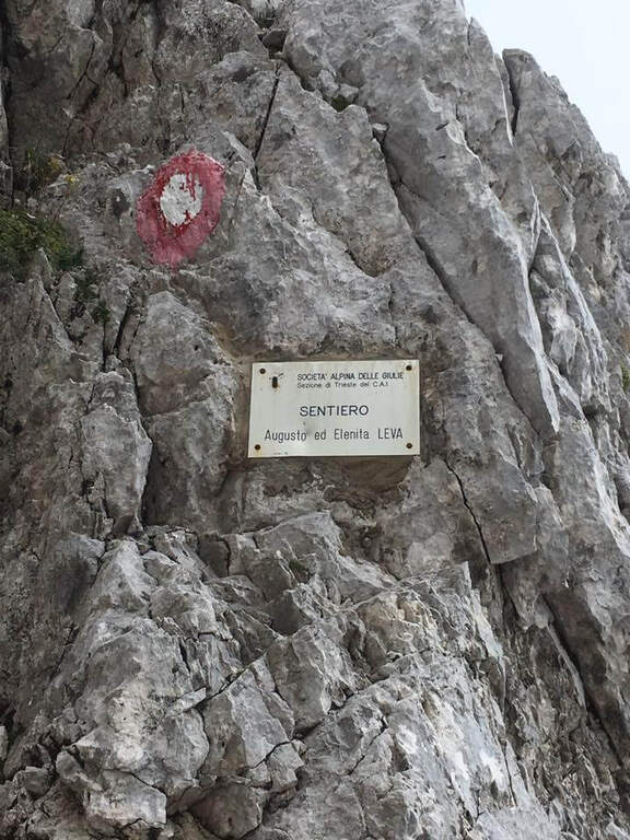
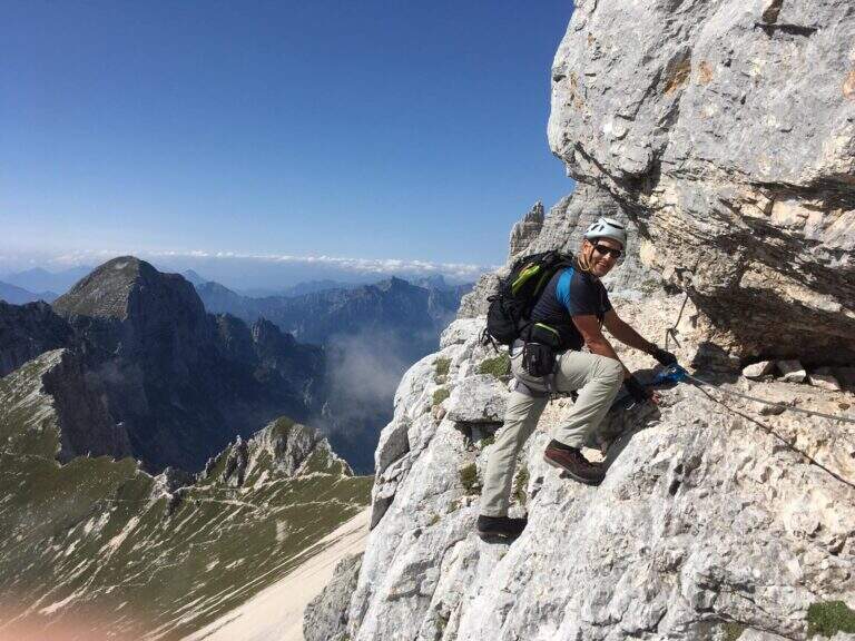
The Path Attrezzato Leva walks through the scenic hint between the Cima di Terrarossa and the Forca dei Disteis on the slopes of the Jof di Montasio. Itinerary of medium difficulty with exposed and unprotected traits that require safe passage: ideal to be inserted in a more days on the Montasio plateau.
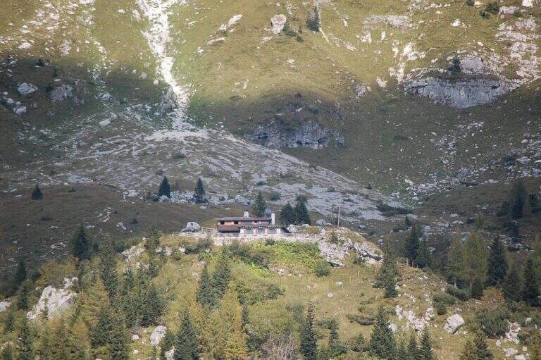
You reach Chiusaforte on the A23 (exit Carnia Tolmezzo) and continue east for 20 Km until Sella Nevea. From a hairpin bend follow the brown sign for Altopiano del Montasio until the end of the road, where there is a large parking (directions road map). The proposed route passes through the Rifugio Brazza and the Cima di Terrarossa; it does not include the climb to the Jof di Montasio (that is the Ferrata Amalia).
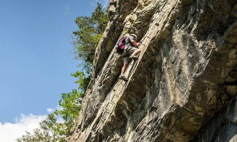
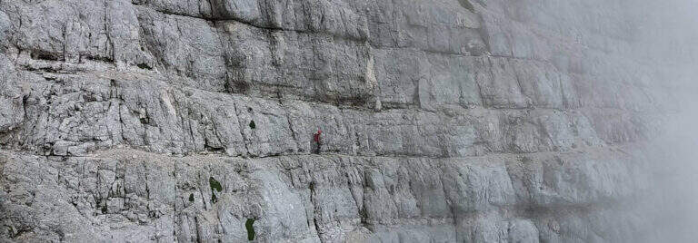
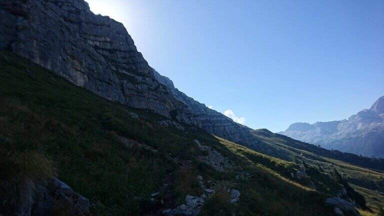
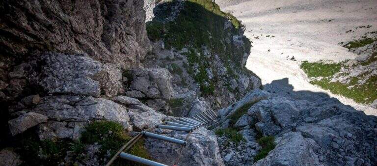
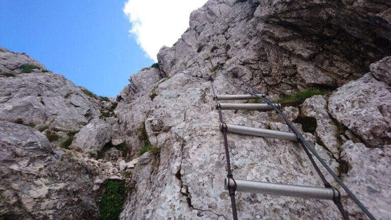
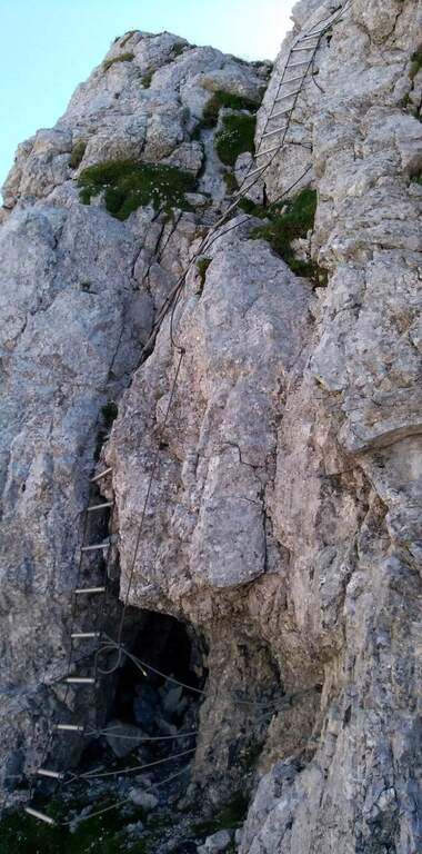
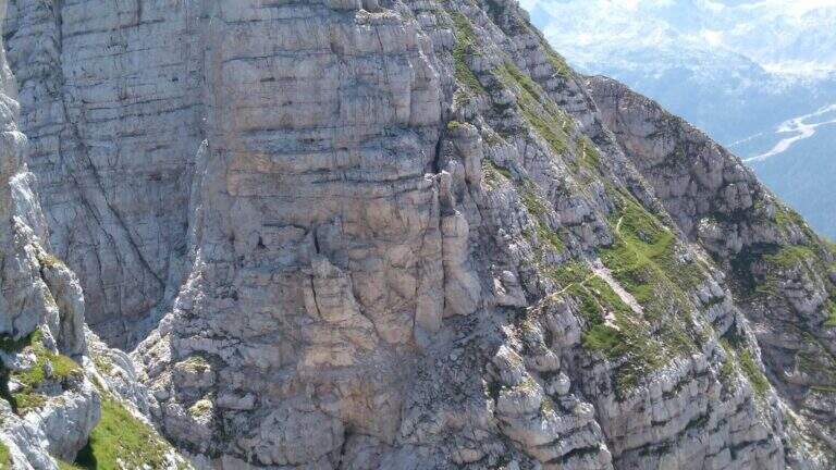
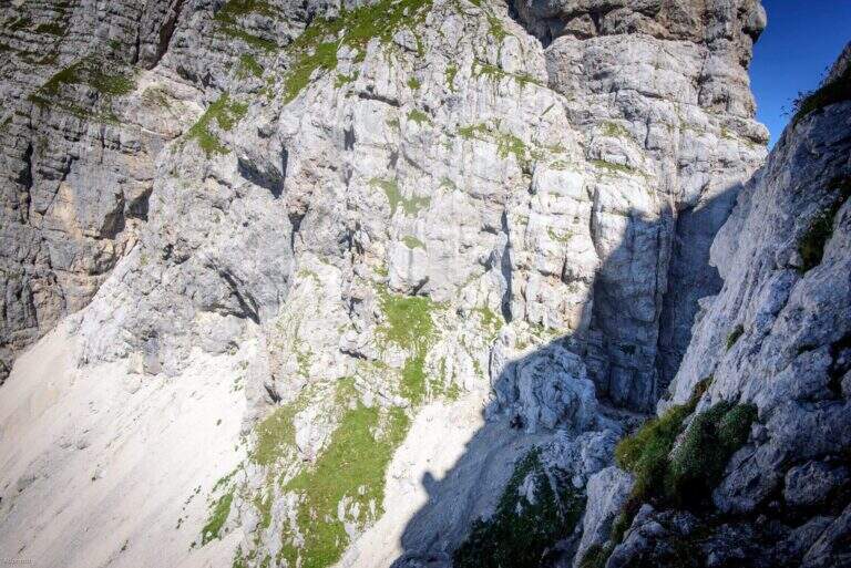
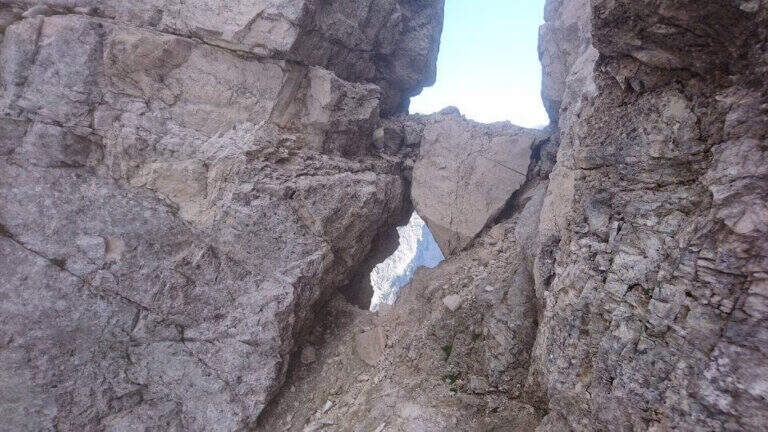
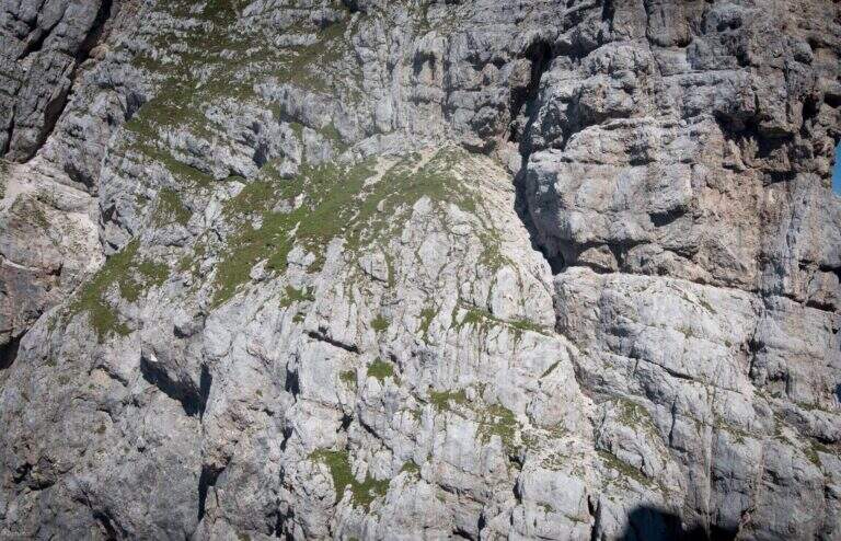
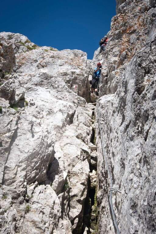
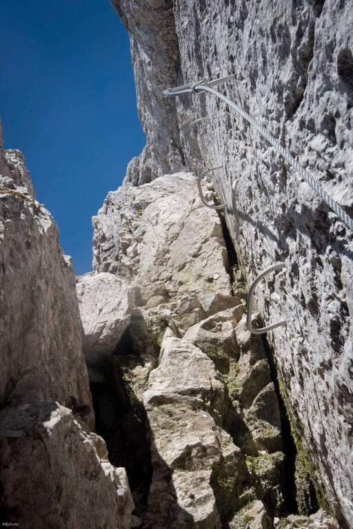
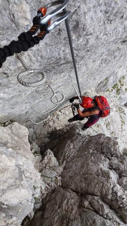
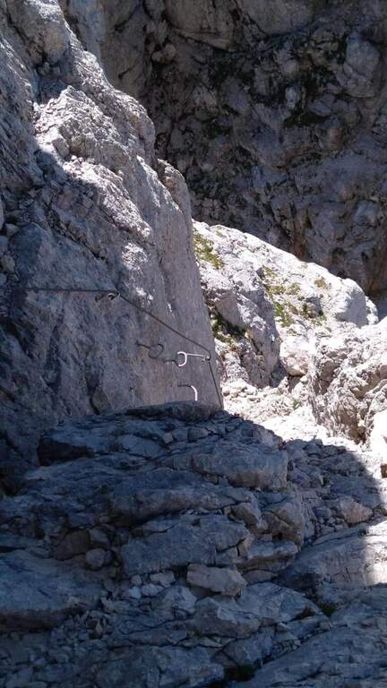
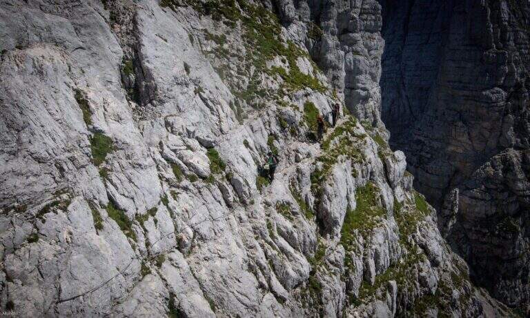
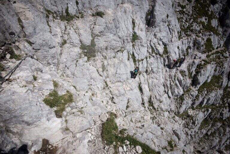
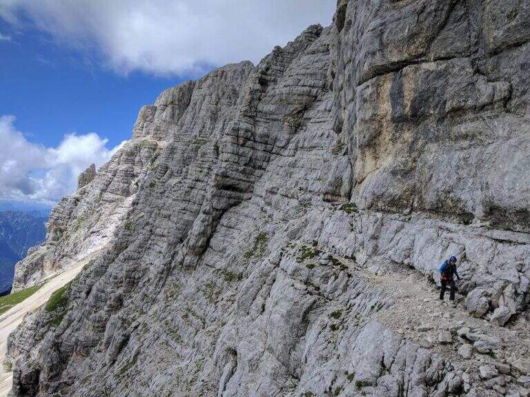
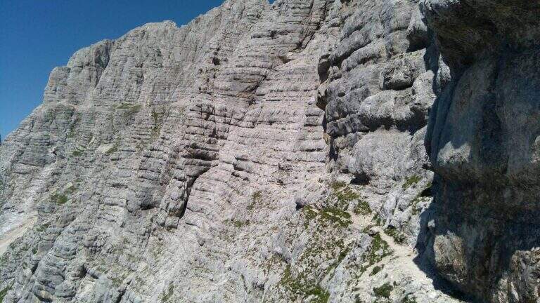
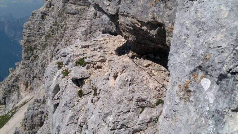
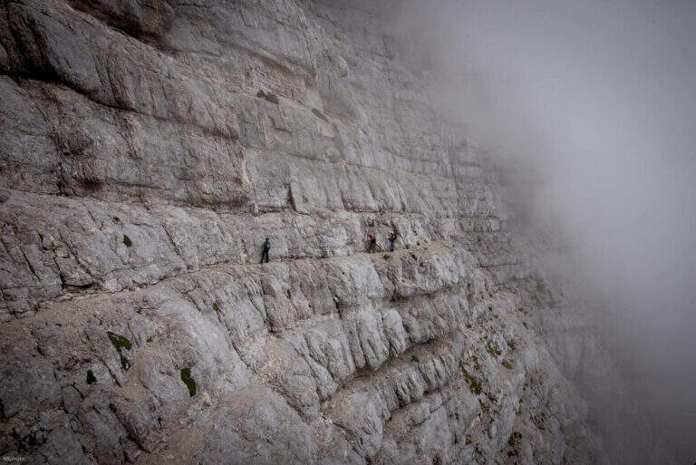
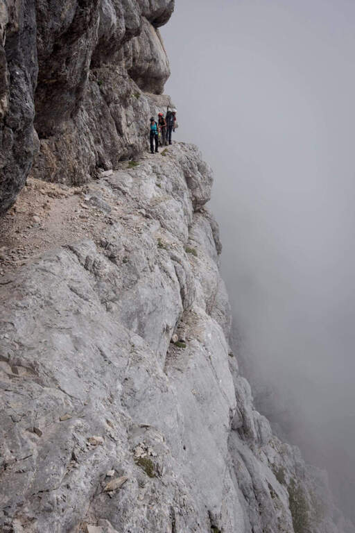
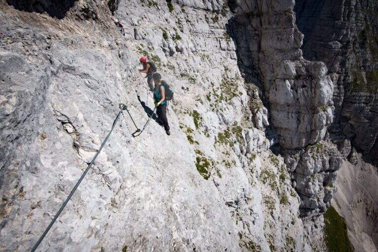
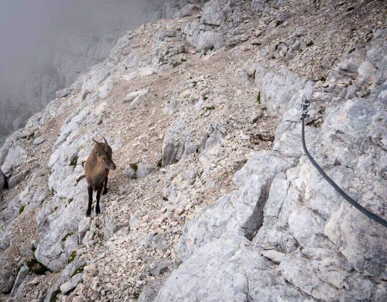
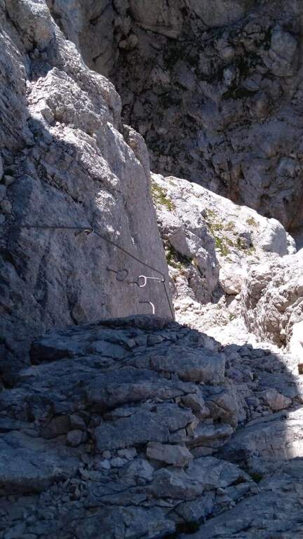
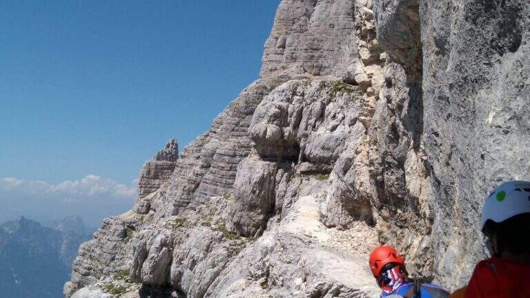
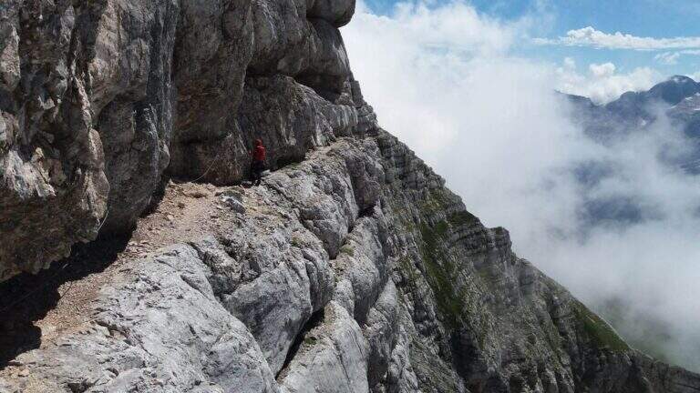
Take the path from Cima Terrarossa to the west towards Forca dei Disteis. From the top you descend towards the Forca del Pallone (2242 m) facing a characteristic metal staircase leaning on the rock — it requires attention. Then take the equipped nod that wanders the west wall of the Cima Terrarossa: the stretch is exposed for long stretches and not always protected by cables. After passing the Forca del Pallone, the route resumes on the opposite side of the gorge and climbs back to the Forca dei Disteis. The most vertical stretches are located near the Forca, where the most challenging climb of the entire route takes place.
Classified Moderately Difficult. The equipped traits are contained but the unprotected passages on exposed census represent the real challenge: they require concentration and stability even with heavy backpack. Complexity: technique 2/5, physics 3/5, exposure 3/5, environment 3/5.
From July to September. High mountain with unstable weather: start early. The route can be reached in both directions but in the direction described (east→west) the more vertical section is going uphill.
From the Forca dei Disteis you descend to the Rifugio Brazza and then to the starting parking lot along the paths of the Montasio plateau.
In the Julian Alps: the Ferrata Goitan at Jof Fuart e la Ferrata Julia at Canin.
- DifficultyModerately Hard
- RegionFriuli-Venezia Giulia
- GroupJulian Alps
- Approach2:00 h
- Ferrata1:30 h
- Itinerary (a/r)5:00 h
- Hardware level difference178 m
- Route difference918 m
- Max2420 m
- Length9,1 Km