
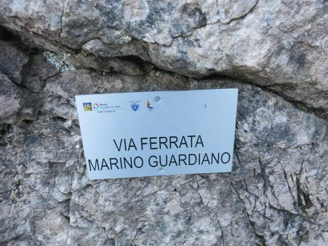
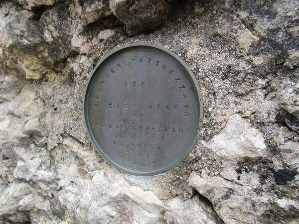
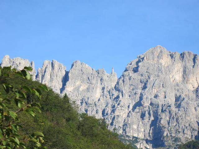
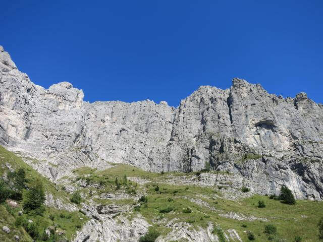
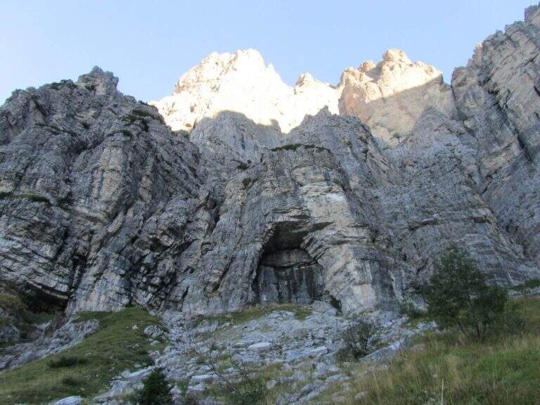
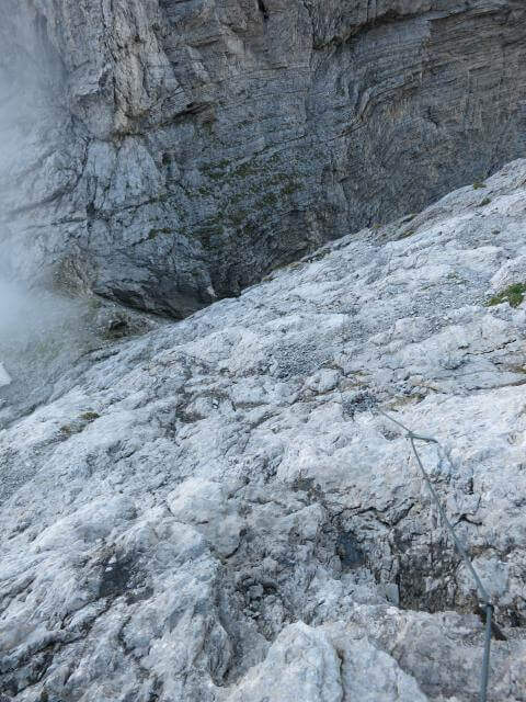
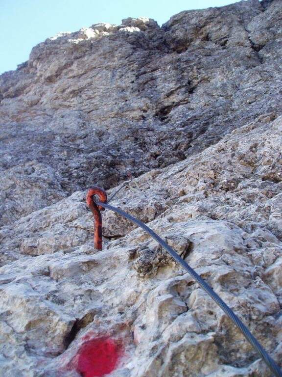
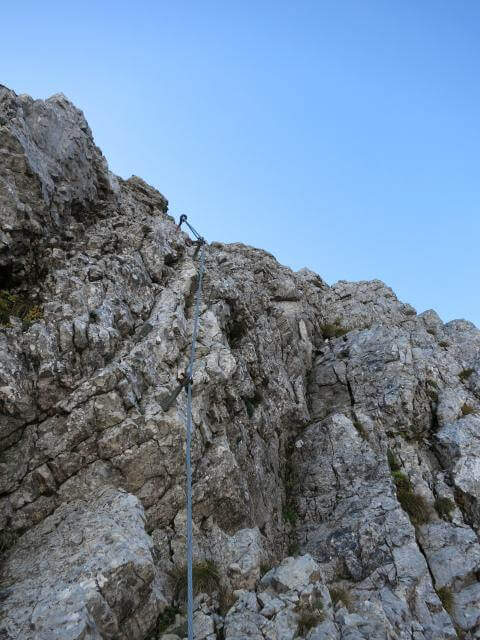
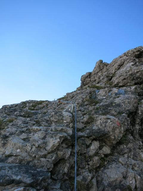
The Sentiero Attrezzato Marino Guardian climbs to Monte Pelf in the Schiara Group, one of the wildest massifs in the Belluno Dolomites. Long and challenging itinerary — ideal to be combined with other routes of the Schiara in a more days — with moderate technical difficulties in the equipped traits but exposed and not trivial in unprotected passages.
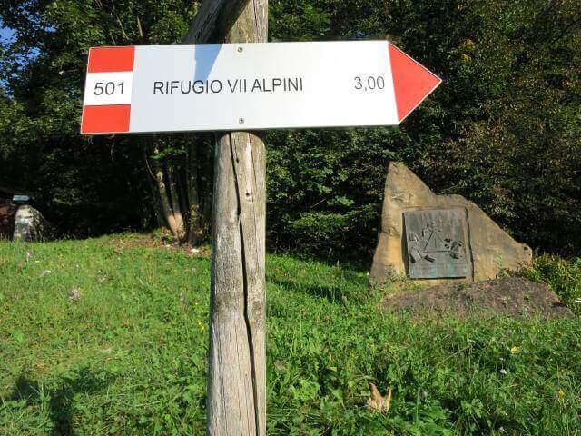
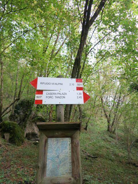
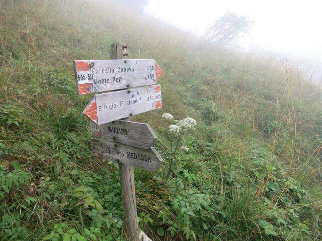
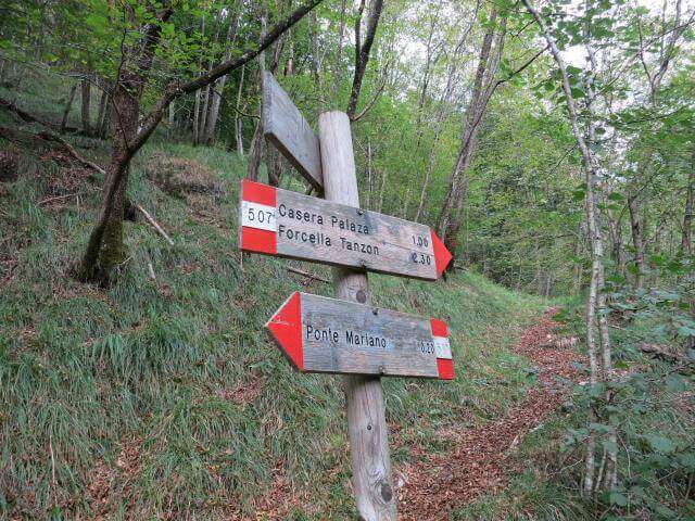
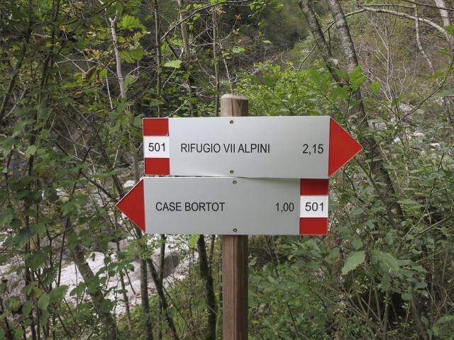
From Case Bortot (695 m) in the province of Belluno (directions road map): from Belluno follow the road of Col di Lana, then towards Bolzano Bellunese and the Parco delle Dolomiti Bellunesi. Parking is on the final deck. Follow the CAI 501 in the forest: after the Ponte del Mariano (30′) the left for Rifugio VII Alpini (1502 m — 2h 45′).
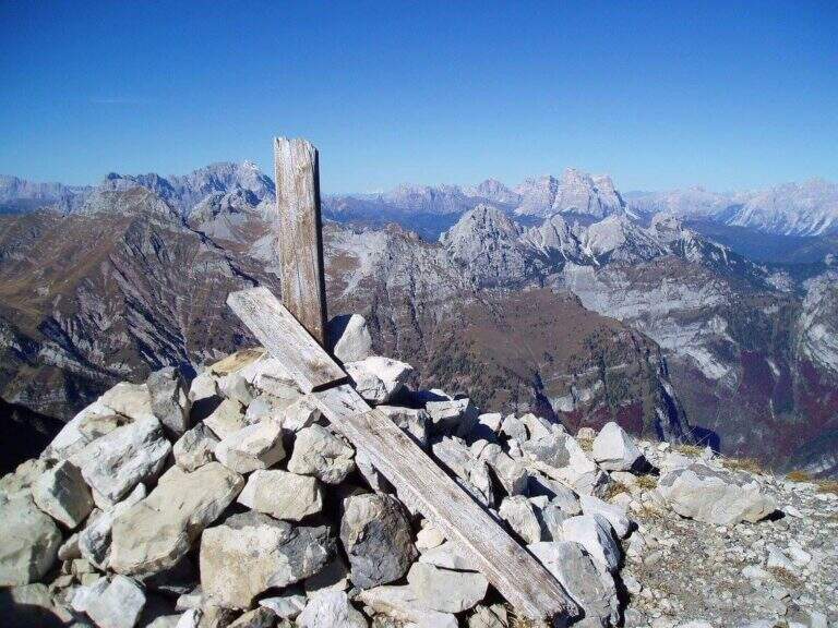
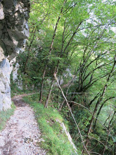
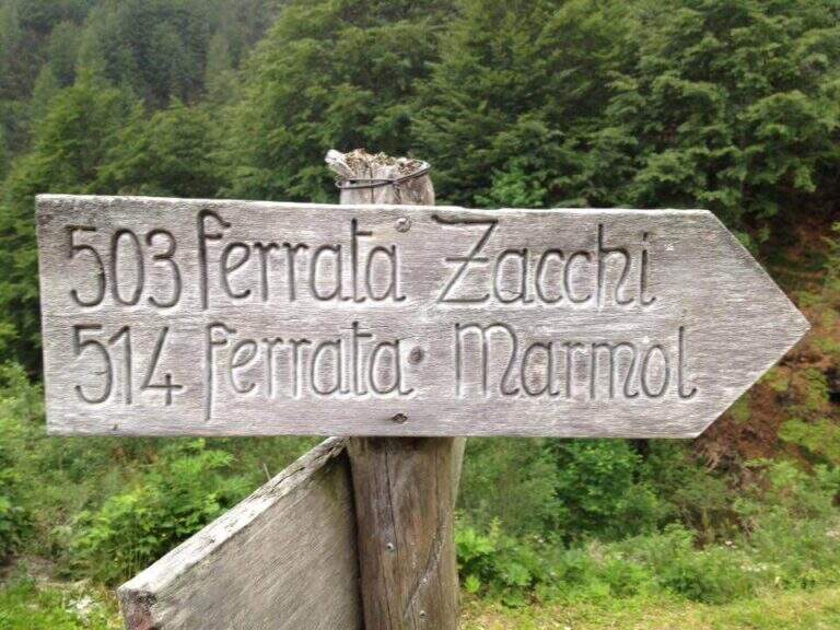
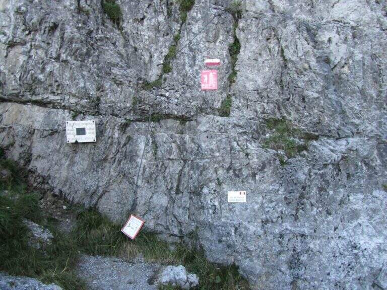
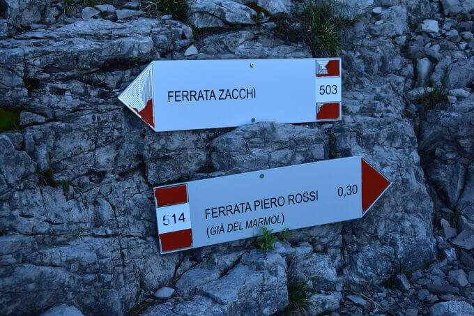
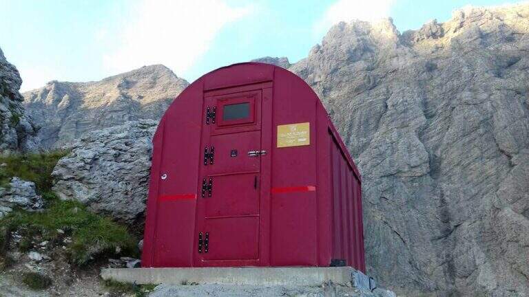
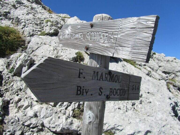
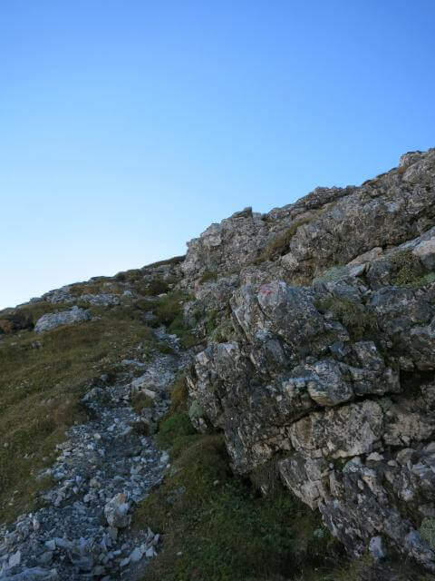
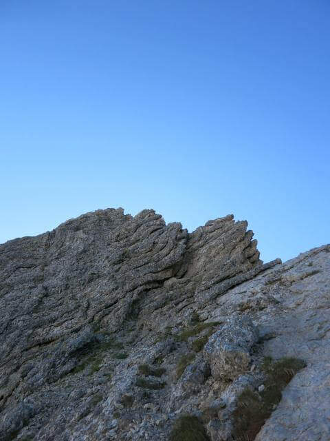
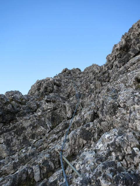
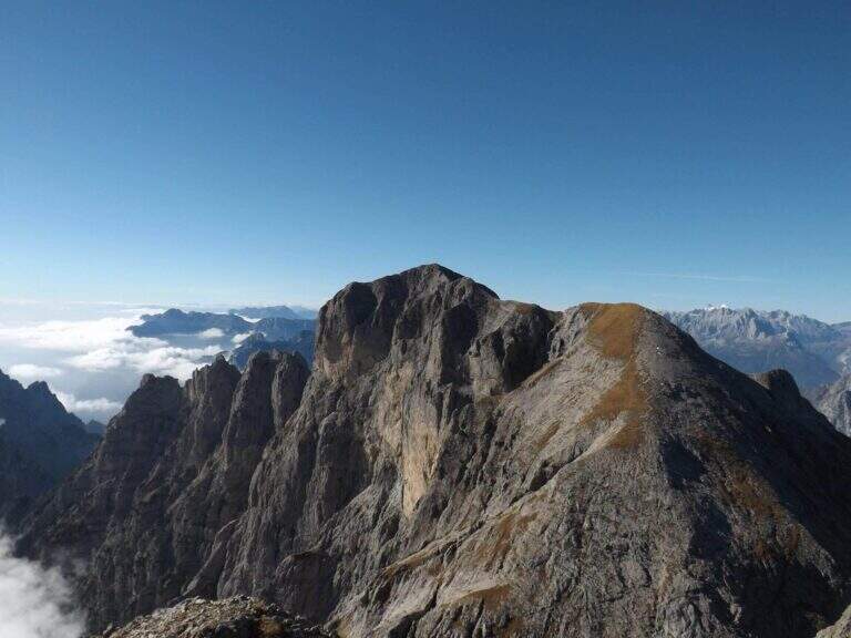
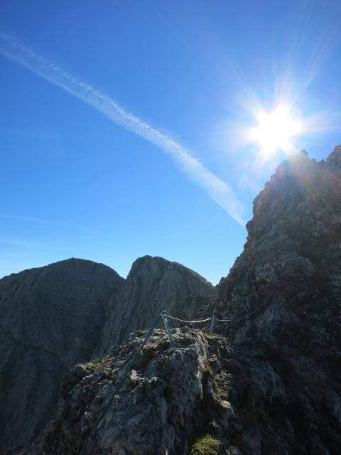
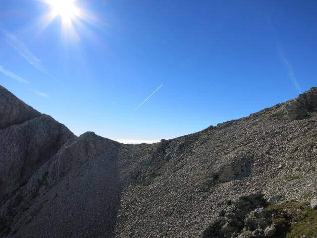
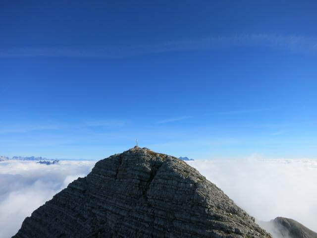
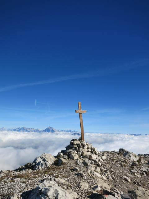
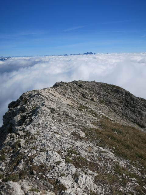
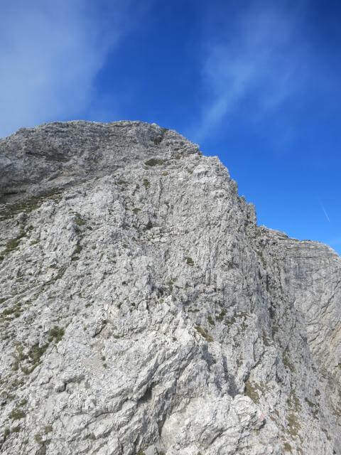
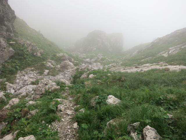
From Rifugio VII Alpini go up towards Forcella Marmol with Ferrata Marmol, which is the first equipped stretch of the day. Adding the fork you leave the ferrata and attack the Path Attrezzato Guardian in the direction of the Pelf: the route rises on mixed ground, alternating rock and grass, with stretches equipped with moderate difficulty and long passages on exposed crest without protections. The summit of Monte Pelf is the highest and most panoramic point of the itinerary. The return descends along the CAI 507 to Ponte del Mariano and the departure parking.
Classified Moderately Difficult, with a total length of day very challenging. The equipped routes do not exceed MD but the itinerary is not suitable for those who have no experience on alpine terrain. Complexity: technique 2/5, physics 4/5, exposure 3/5, environment 4/5.
From July to September. The complete excursion takes a full day or an overnight stay at the refuge. Start at dawn to avoid afternoon thunderstorms.
From Pelf you descend to CAI 507 towards the Mariano Bridge and to the parking lot of Case Bortot (ring itinerary).
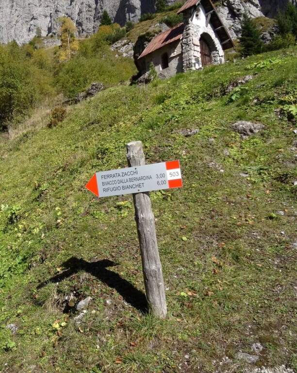
In the Schiara Group: the Ferrata Zacchi, la Ferrata Marmol e la Ferrata Berti.
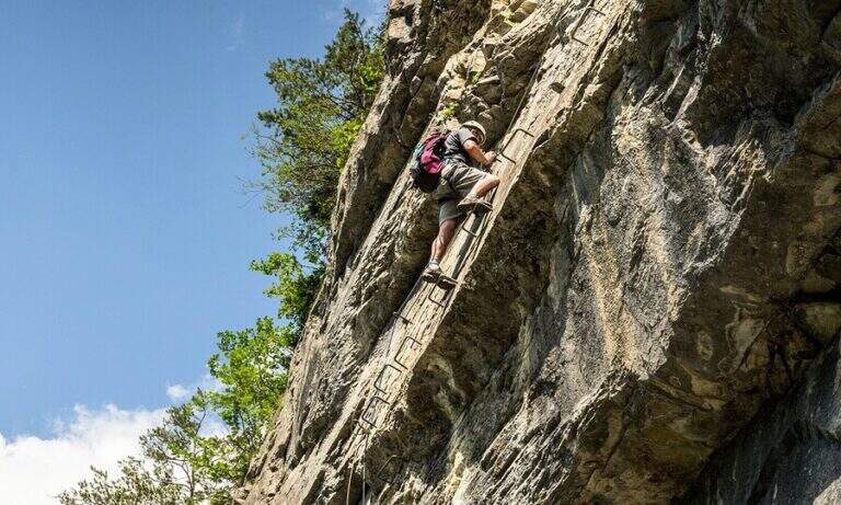
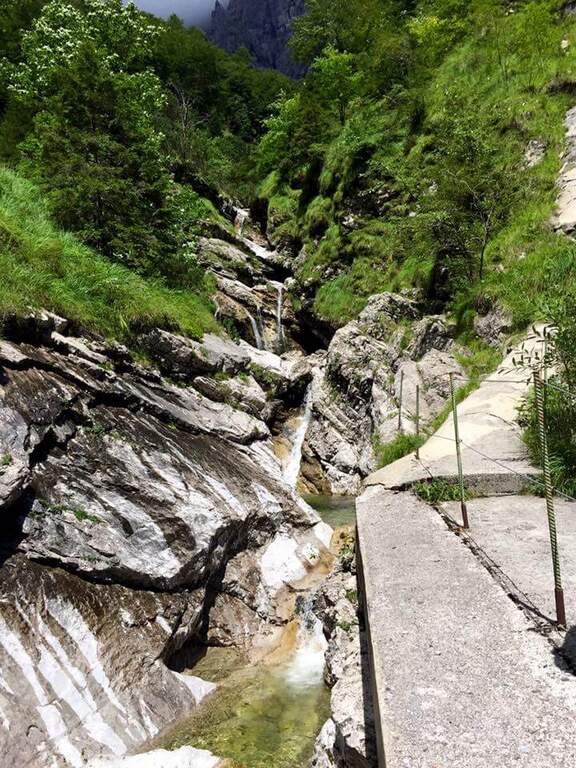
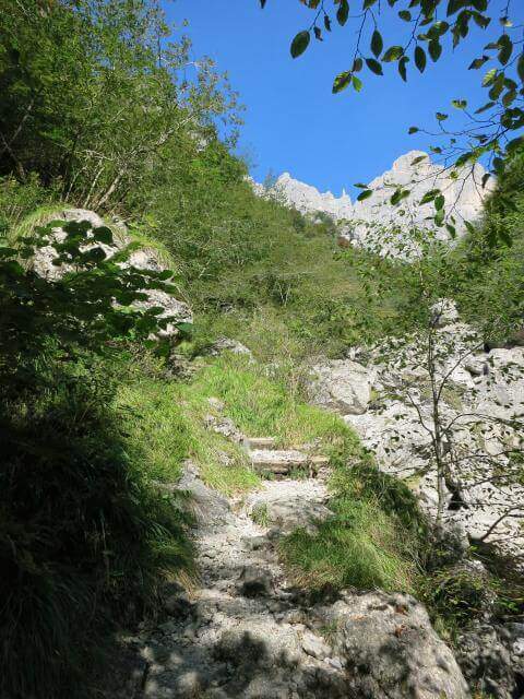
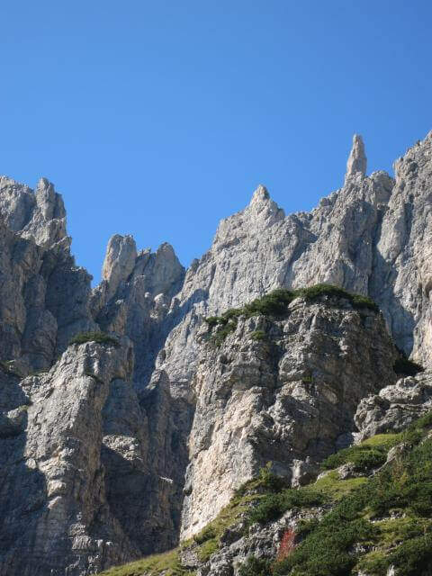
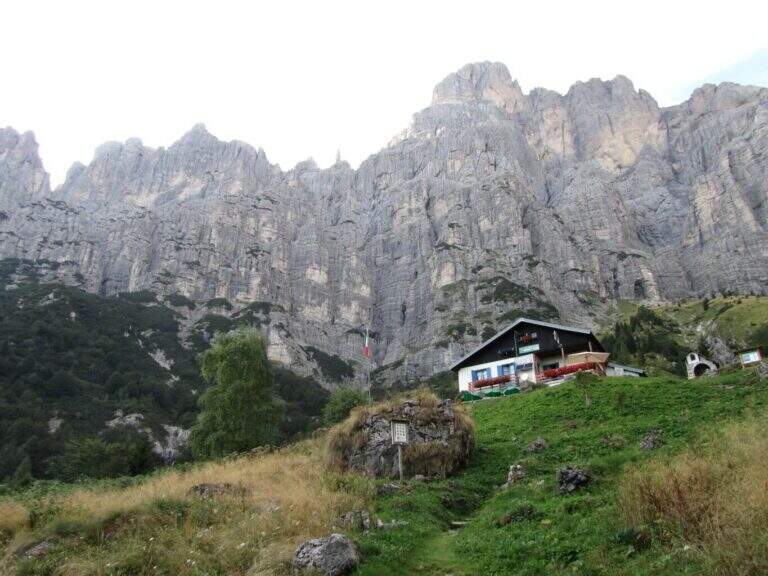
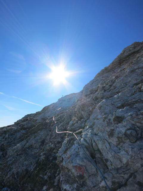
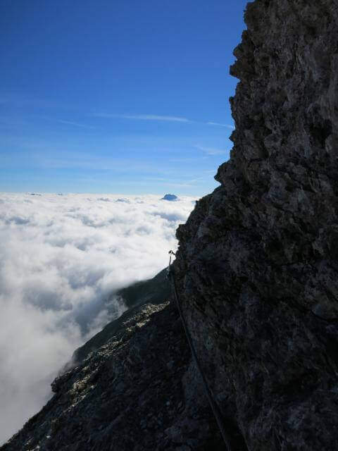
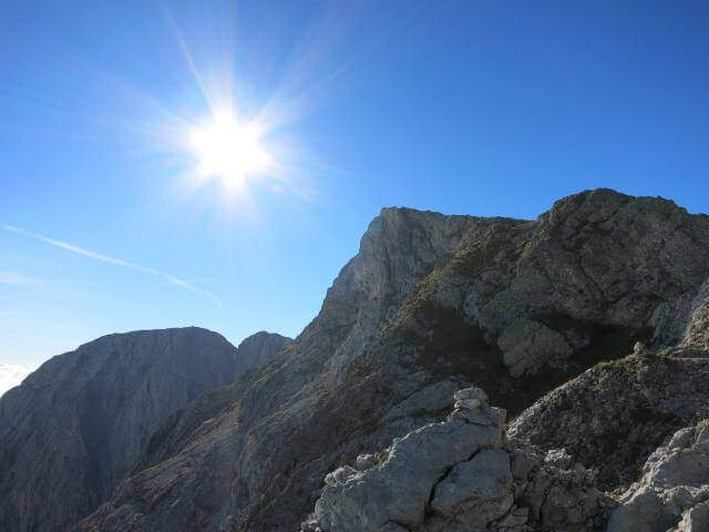
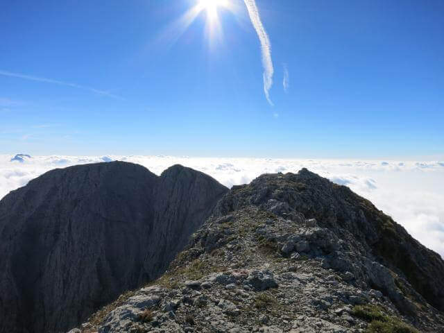
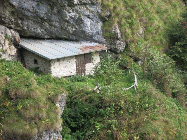
- DifficultyModerately Hard
- RegionVeneto
- GroupDolomiti Bellunesi – Group Schiara
- Approach6:30 h
- Ferrata1:30 h
- Itinerary (a/r)11:30 h
- Hardware level difference340 m
- Route difference1805 m
- Max2502 m
- Length22 Km