
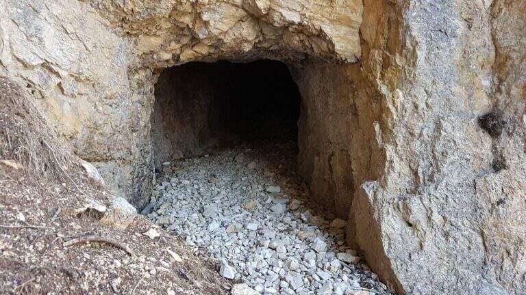
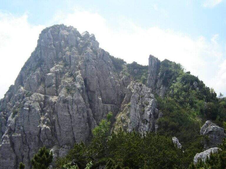
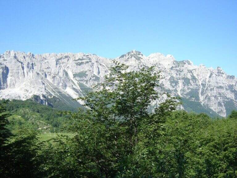
The Path Trained to Mount Cornetto runs a ring route from Passo Campogrosso through the tunnels and trenches of the Great War, climbing to the Passo degli Onari and the top of Cornetto. A historical and panoramic route, in the complex easy but with a stretch equipped with medium difficulty to walk carefully.
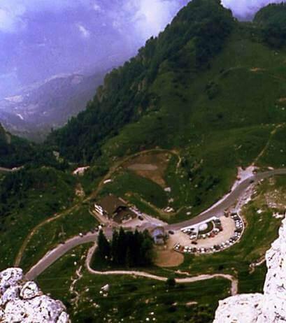
The Campogrosso Pass (Vicenza) can be reached from Recoaro Terme via Merendaore or from Rovereto via Pian delle Fugazze (directions road map). You park at the pass and follow the path 170 north towards Malga Boffetal.
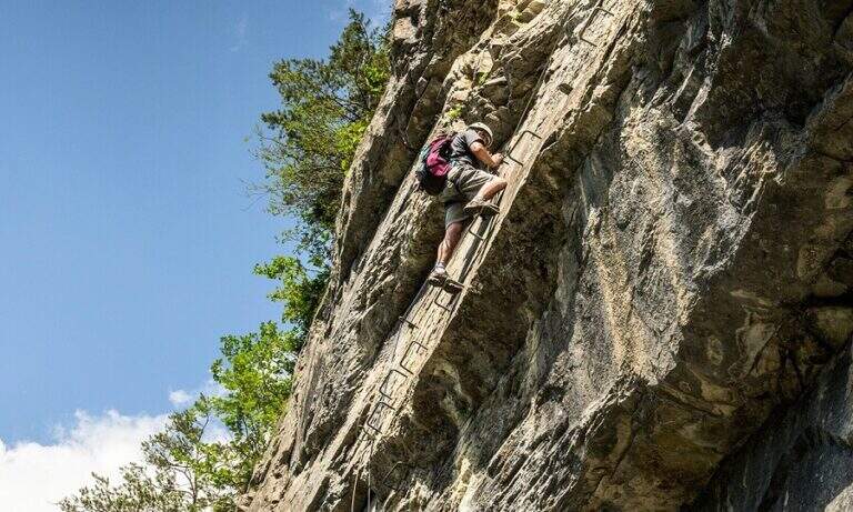
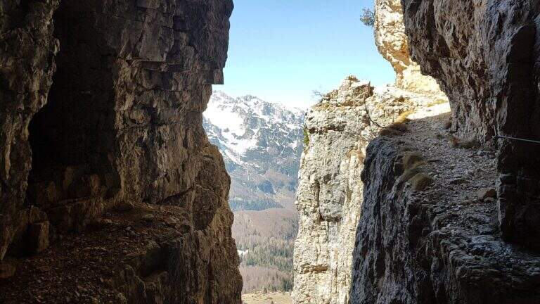
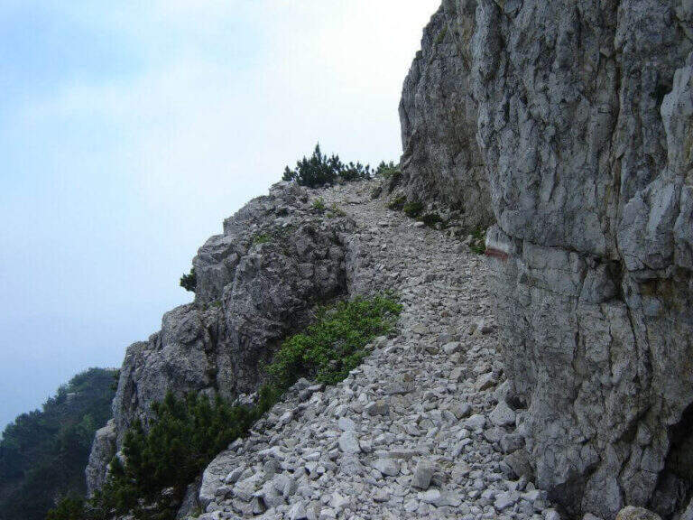
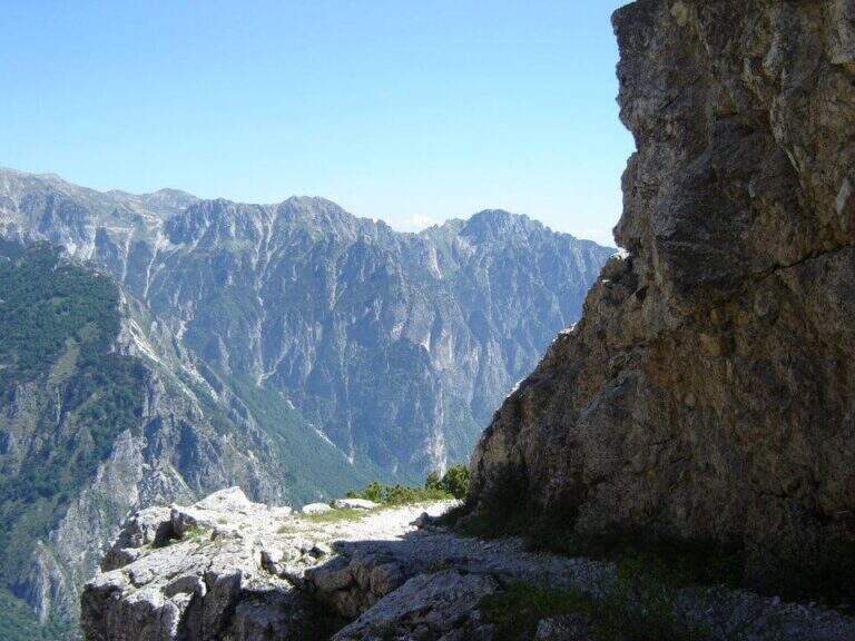
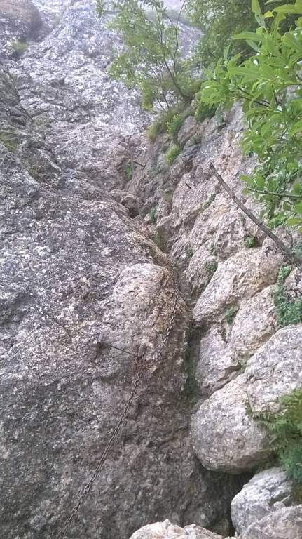
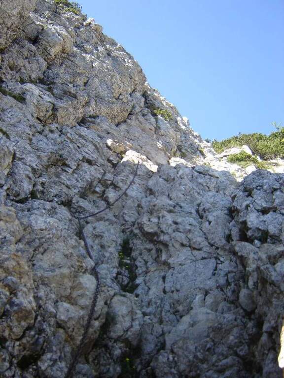
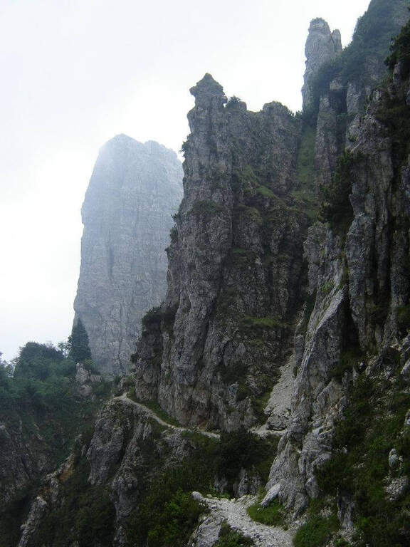
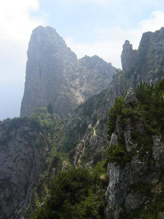
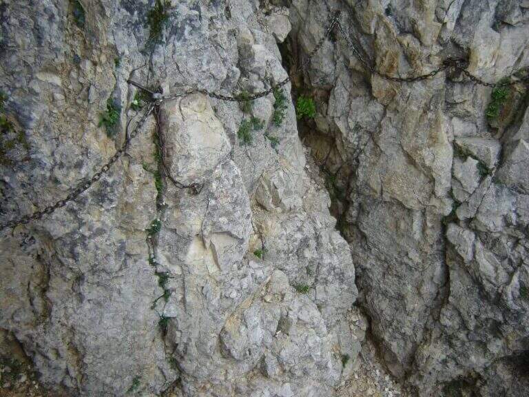
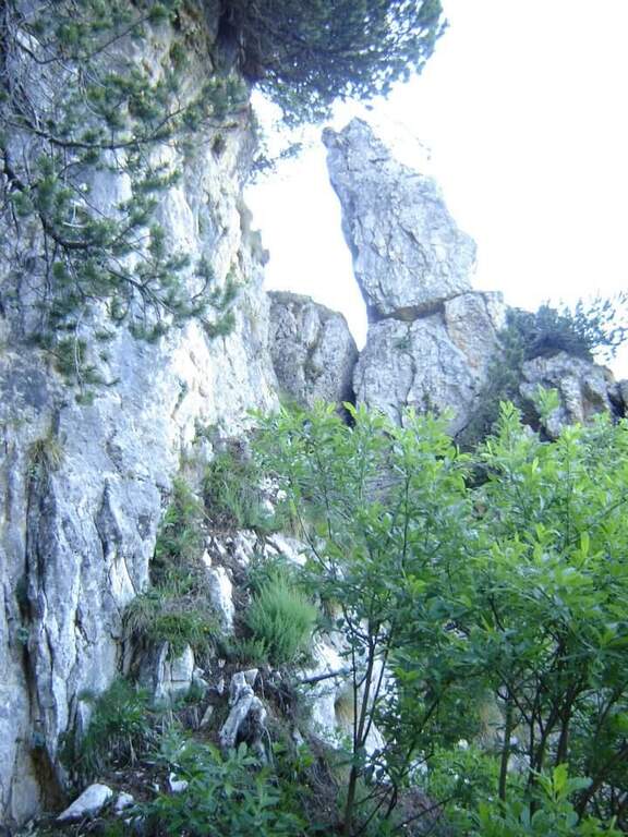
From the Campogrosso Pass take the path 170, wide and well marked, westward of the slopes of Monte Cornetto up to the junction with path 176 that bends right uphill. Cross the first military tunnel — useful but not indispensable a torch — and continue on path not difficult through further galleries of war origin. The route diagonally cuts the southern wall of Cornetto on fairly wide panoramic cenges, then enters a throat where the metal cable assists in the narrower passage. It exits from the throat and climbs towards the Passo degli Onari, meeting new tunnels, to the top of Monte Cornetto. The return takes place on path 149 halfway to the Baffelan Pass and back to the Campogrosso Pass.
Classified Easy with a stretch equipped with medium difficulty in the throat. Complexity: technique 1/5, physics 2/5, exposure 2/5, environment 2/5. The galleries add historical interest without increasing the risk.
From April to November due to the relatively low share. Avoid snow or ice on exposed traits.
Complete ring: Passo degli Onari → path 149 → Passo del Baffelan → Passo Campogrosso.
In the small Dolomites Vicentine: la Ferrata del Vajo Stretto e il Pojesi Path at Carega.
- DifficultyEasy
- RegionVeneto
- GroupSmall Dolomites – Lessini Mountains
- Approach0:45 h
- Ferrata1:45 h
- Itinerary (a/r)4:30 h
- Hardware level difference100 m
- Route difference450 m
- Max1899 m
- Length11 Km