
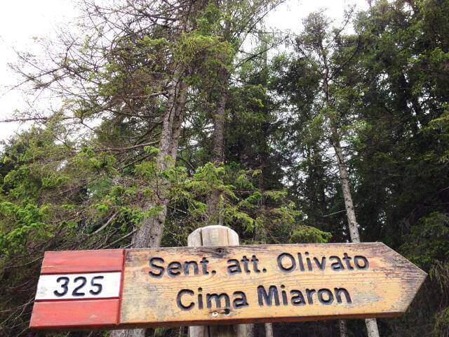
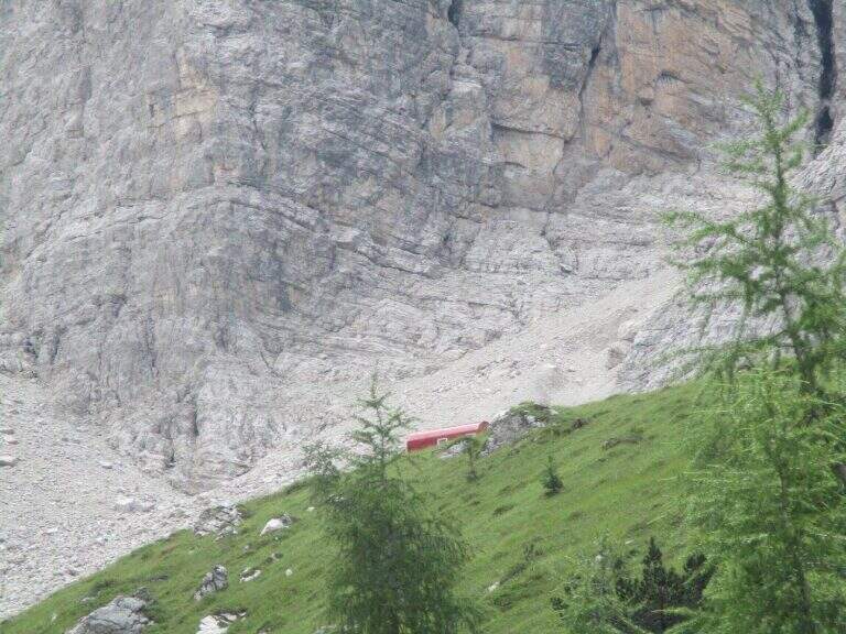
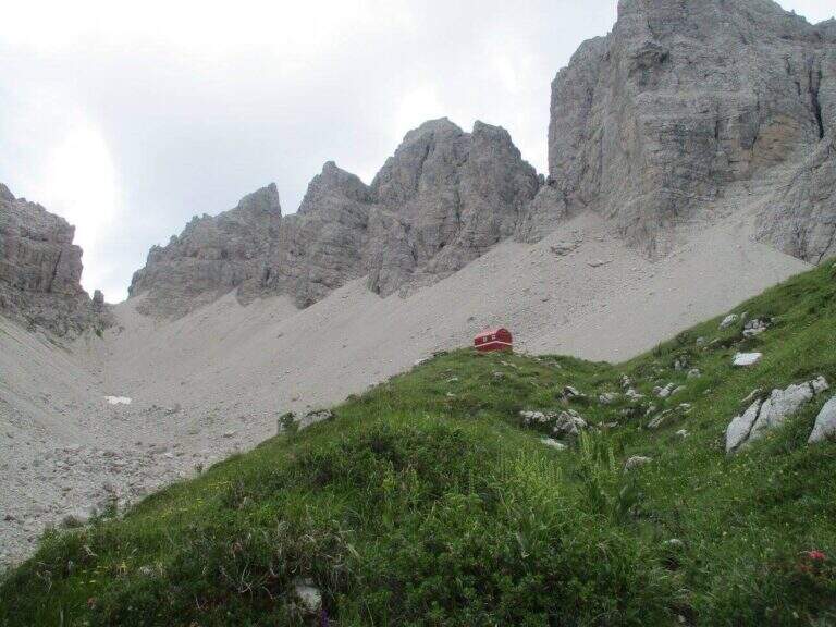
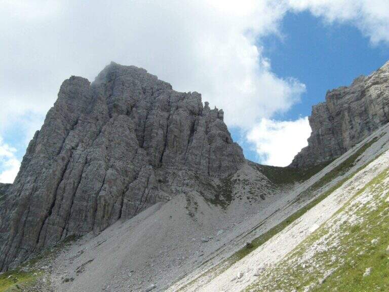
The route to Mount Miaron starts from the Mauria Pass and goes up the north-west side of the mountain along the cenges and canalons, with short stretches equipped, up to the Bivacco Vaccari at 2050 m. A corner of the Carnic Prealps not frequented, with wild environments and a key section on the guinea without protections that is the true discriminating passage of the excursion.
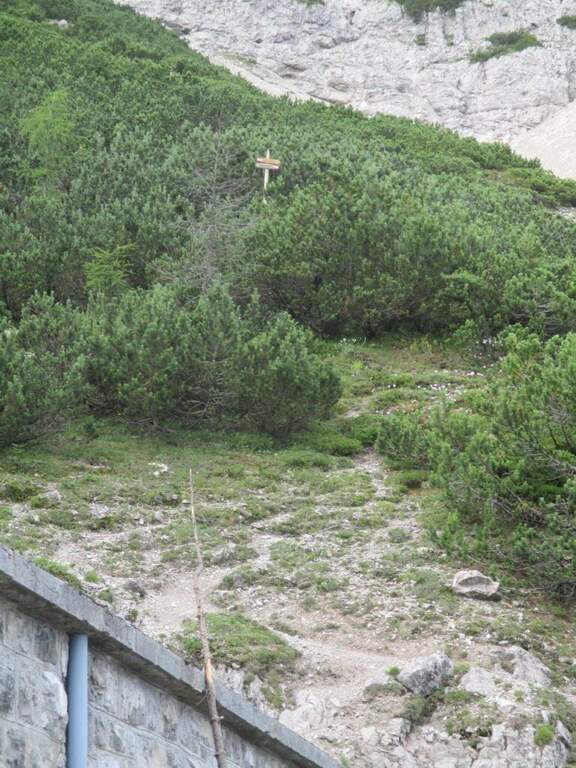
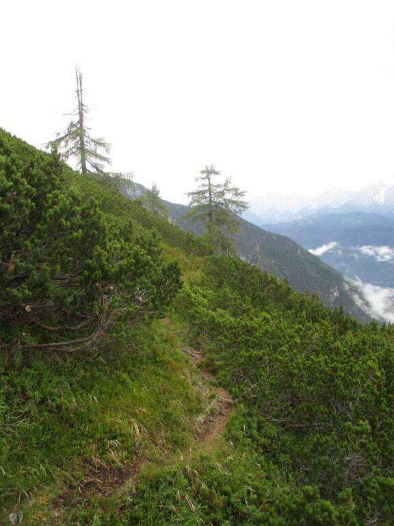
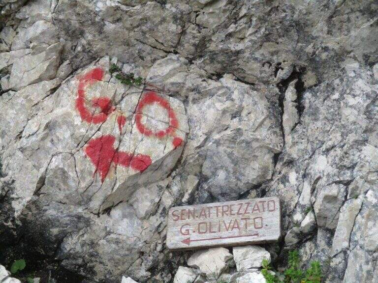
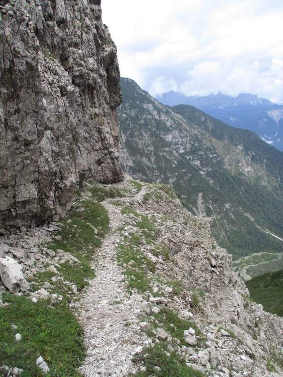
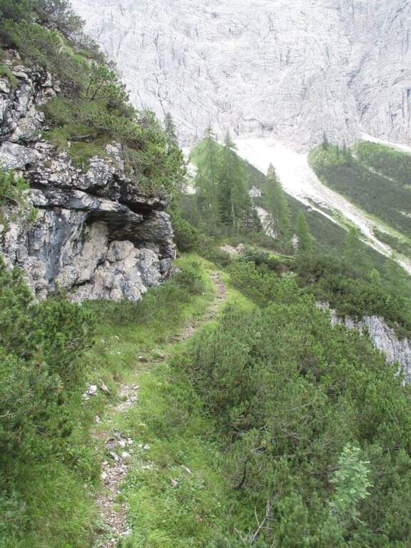
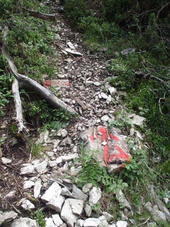
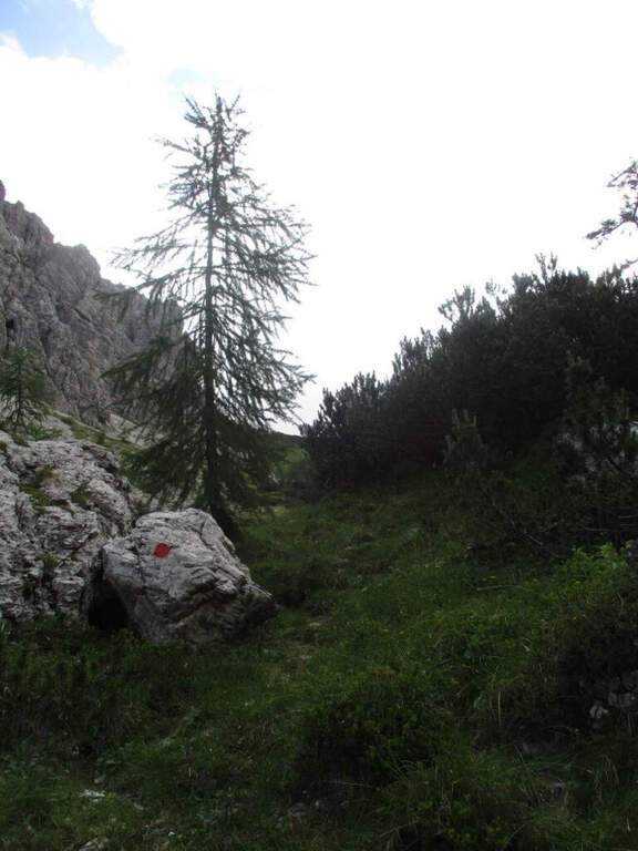
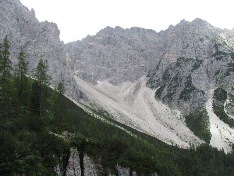
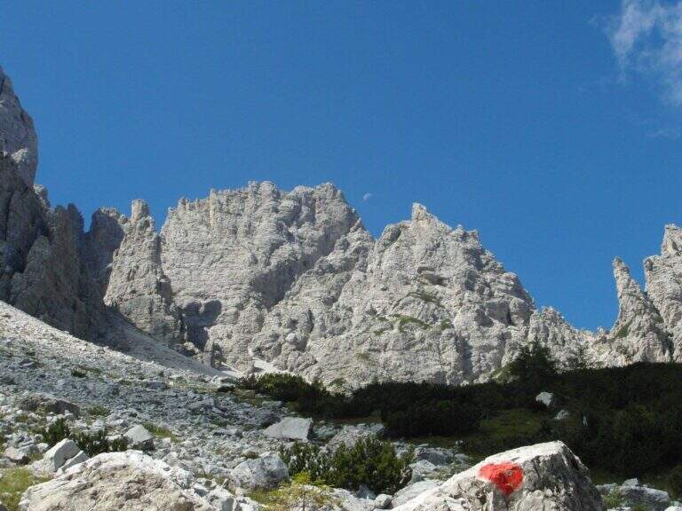
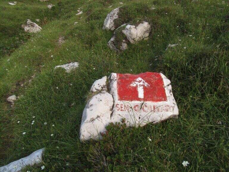
From the Mauria Pass (1298 m, directions road map) take the trail 325, prohibited by cars. You can reach the Military Miaron in about 45 minutes. At the biforcation you leave the path 327 (normal road) and take the 325 to the right, which leads on a halfway between mughi on the NW side. A red indication signals the deviation towards the detritic ski lift.
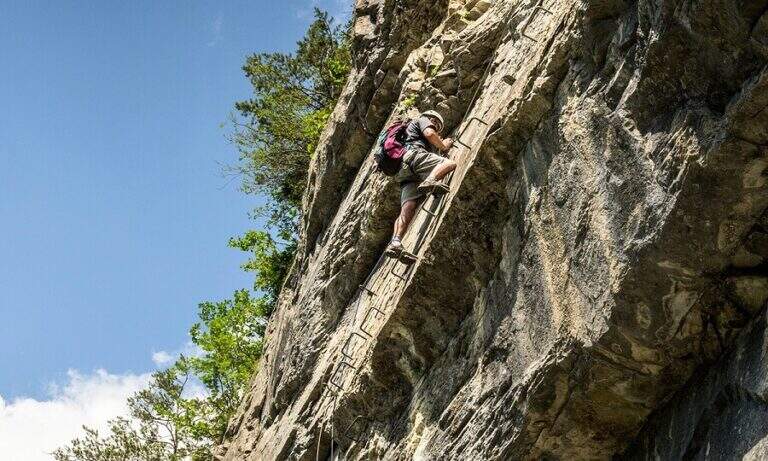
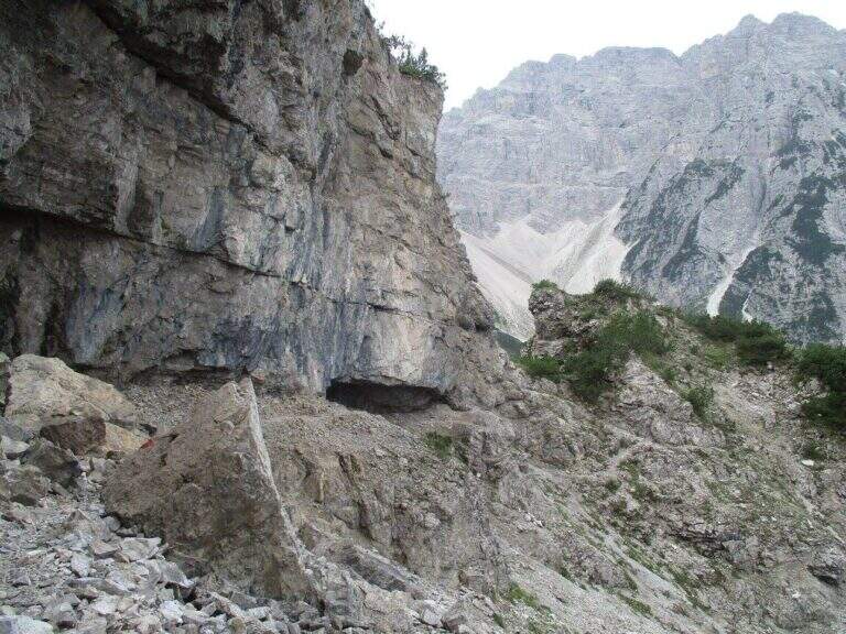
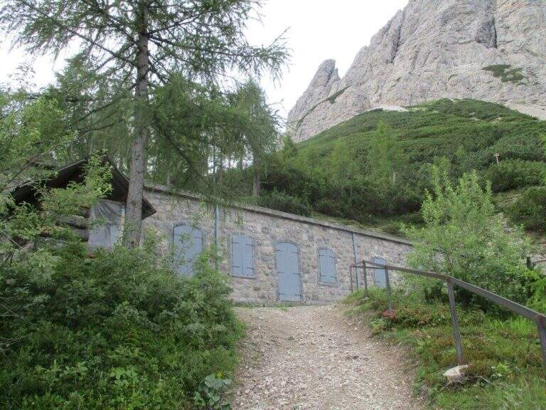
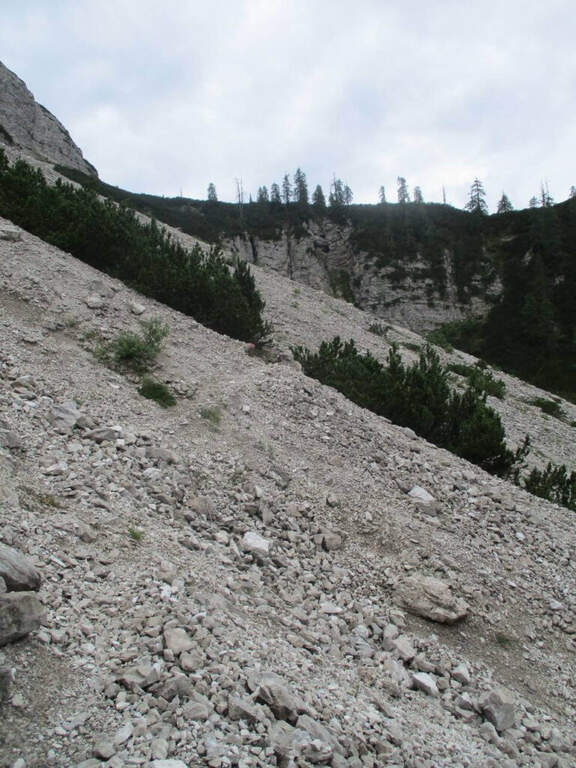
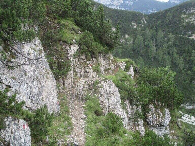
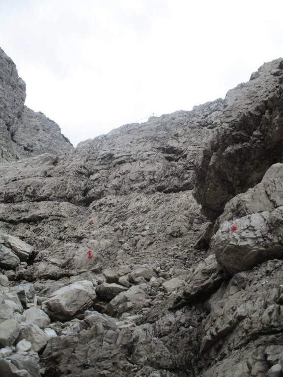
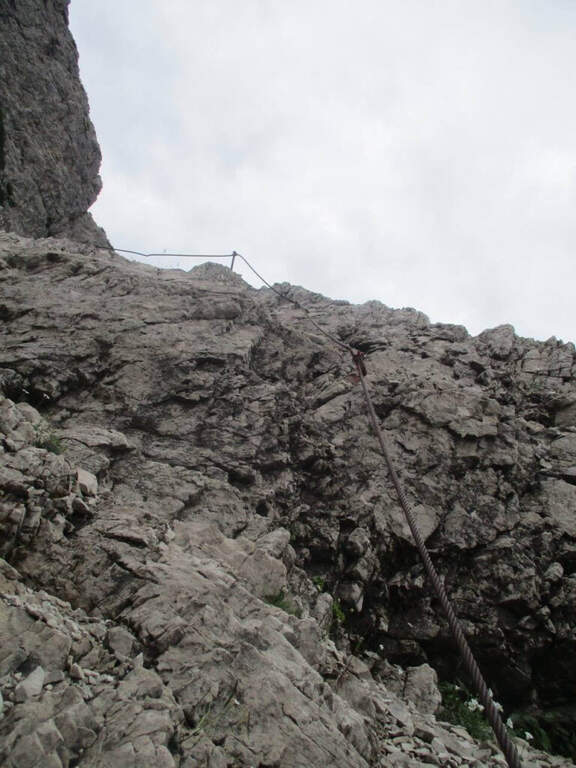
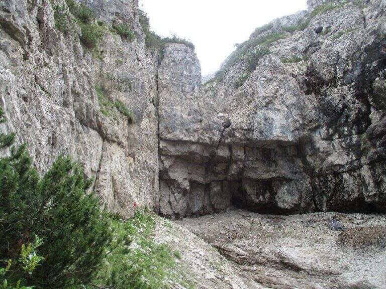
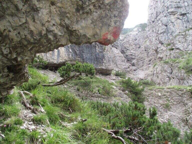
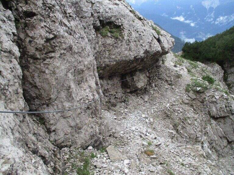
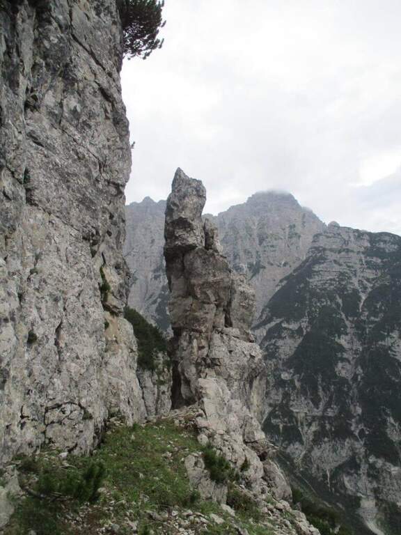
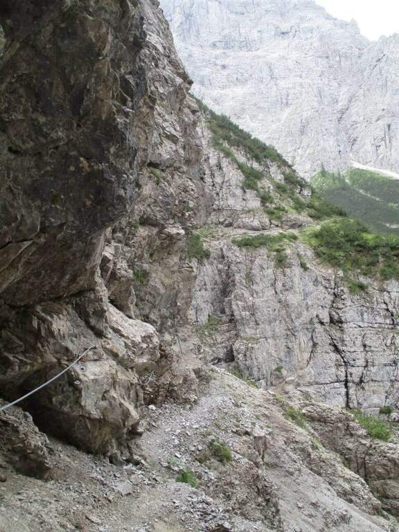
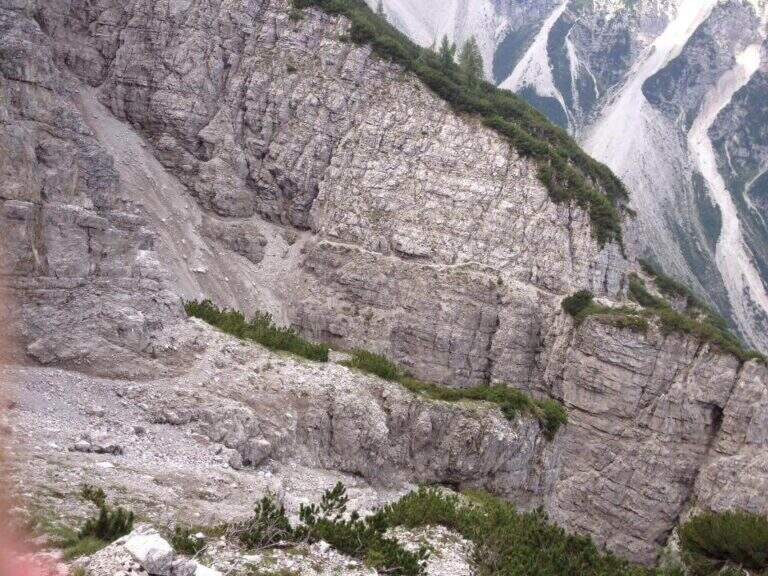
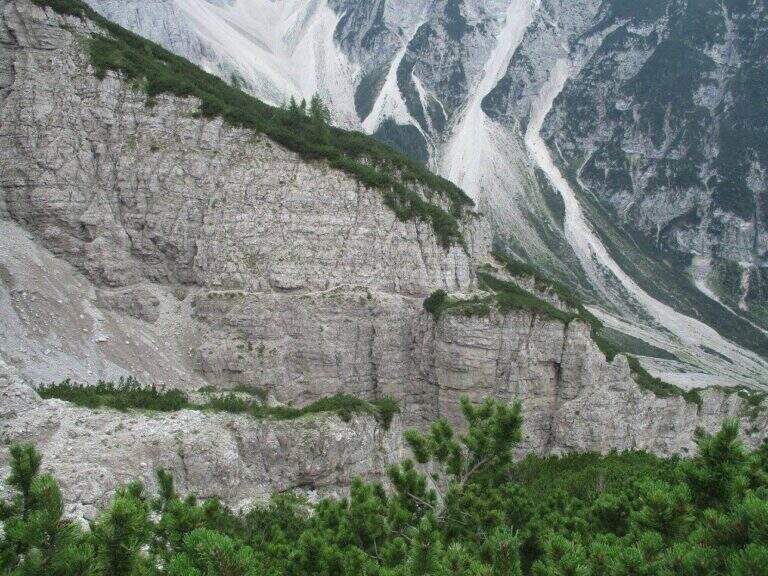
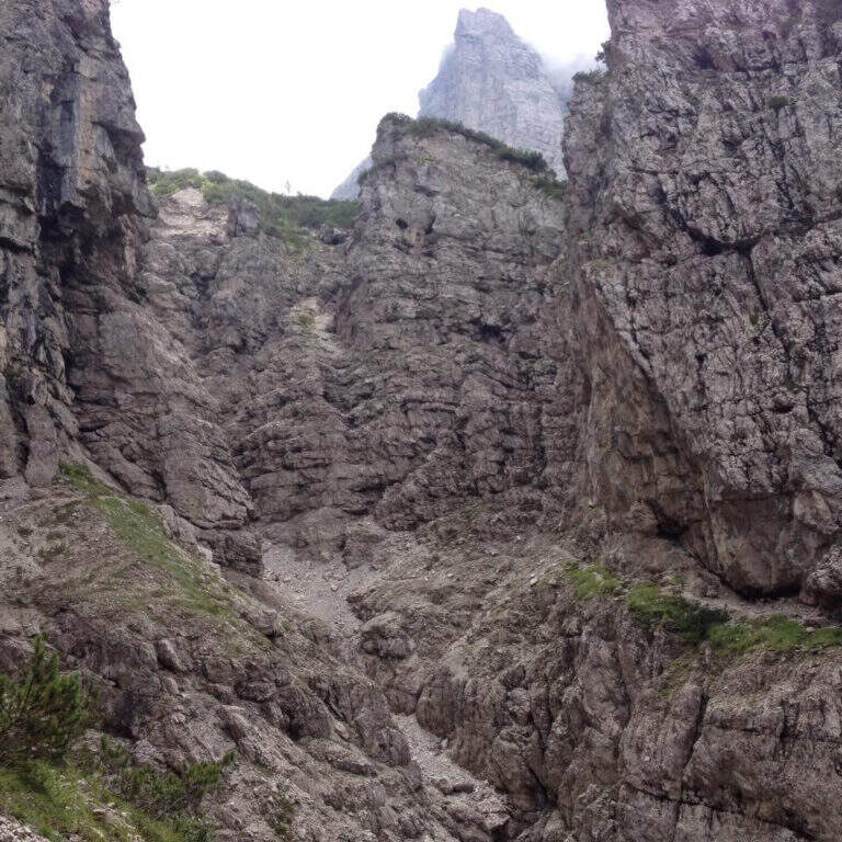
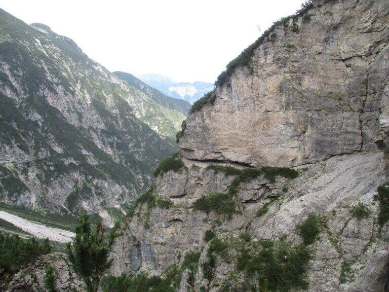
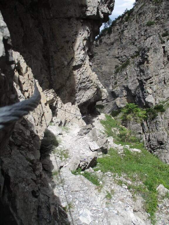
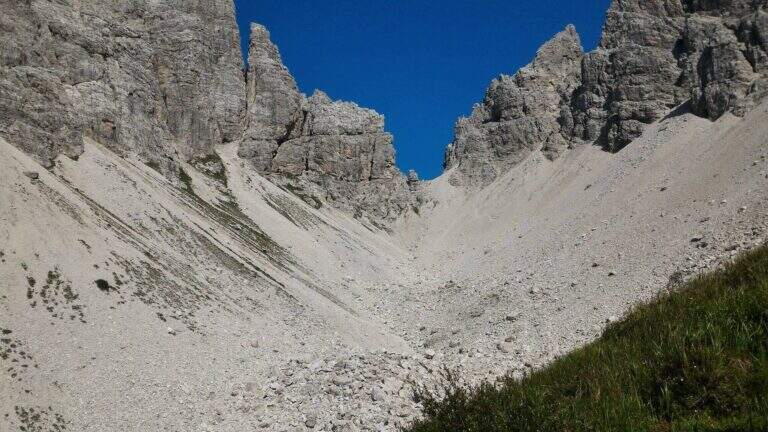
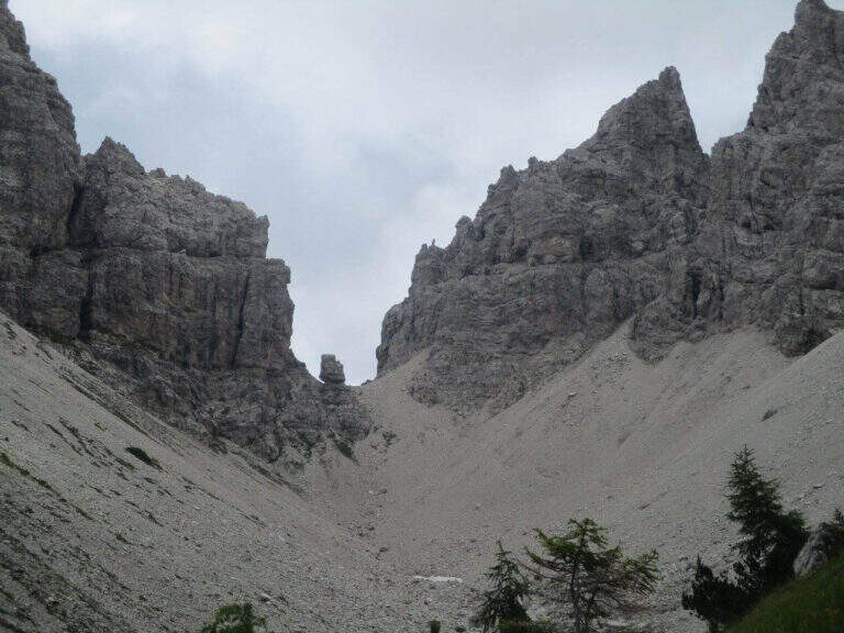
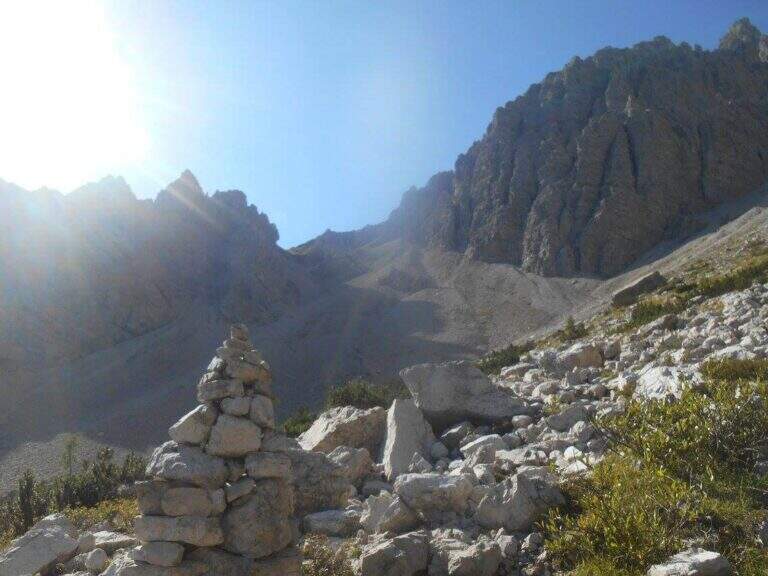
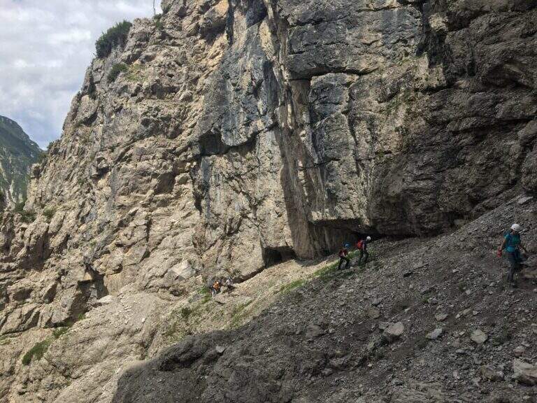
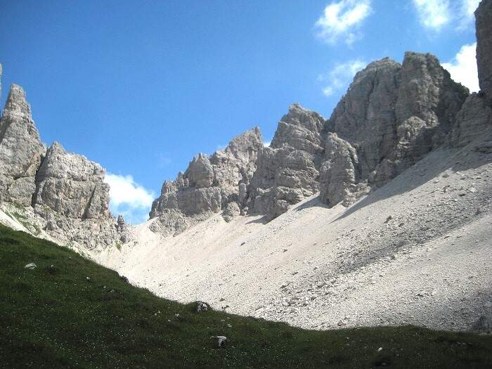
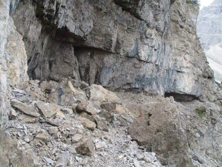
It faces a first vertical wall equipped to the side of a straw canal, then a half-coast stretch on rocky edge. They follow cenges and canalons on the west side of Miaron, where the helmet is mandatory for the risk of falling mass. You reach a pylon-fork, then at a second similar nod. The key passage is an unprotected wreath at 1900 m altitude: the step must be carefully calibrated since the ground does not offer rope safety. After this stretch, a stable nod leads to a third inlet with a narrow nod equipped, then to Bivacco Vaccari (2050 m, 3h45′ from Passo Mauria).
Classified Moderately Difficult. The main difficulty does not lie in the equipped traits but in the unprotected gland, which requires safe foot and absolute prudence. Lonely and wild environment.
From June to September. The unprotected gland is particularly insidious in wet conditions.
From Bivacco Vaccari you descend along the path 340 east towards the Forca del Cridola (2176 m), then along the path 348 to the Forcella Fossiana (1967 m), going down the Val del Cadorini to Passo Mauria (6h30′ total).
The Mauria Pass is a reference point for numerous itineraries in the Carnic Prealps on the border between Friuli and Veneto.
- DifficultyModerately Hard
- RegionFriuli-Venezia Giulia
- GroupCarnic prealps
- Approach1:45 h
- Ferrata2:00 h
- Itinerary (a/r)6:30 h
- Hardware level difference90 m
- Route difference878 m
- Max2176 m
- Length9 Km