
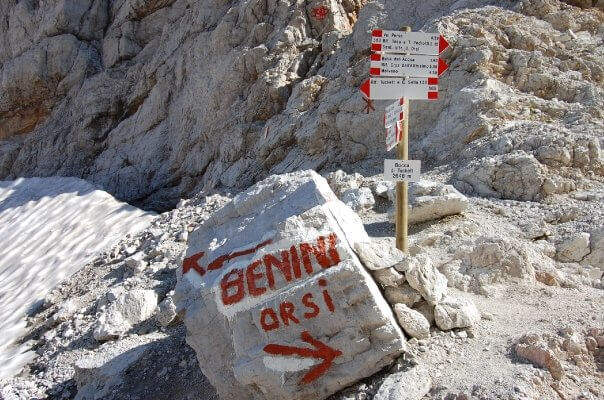
The Sentiero Attrezzato Orsi connects the Bocca di Tucket to the Rifugio Pedrotti in the central sector of the Brenta Dolomites, crossing the exposed cenges of the Naso dei Massodì, the Busa d’Armi and the Campanile Basso. An ambitious itinerary that requires familiarity with challenging alpine environments, ideal as a second day of a stay at altitude.
From the mountain station of the Grostè cable car (2437 m, directions road map) follow the CAI 316 path to the Tucket Refuge (2272 m, 1h30′). From the shelter you climb to the Bocca di Tucket through the vedretta: you often need to have ramps or proceed with maximum attention on the ice (1h from the shelter).
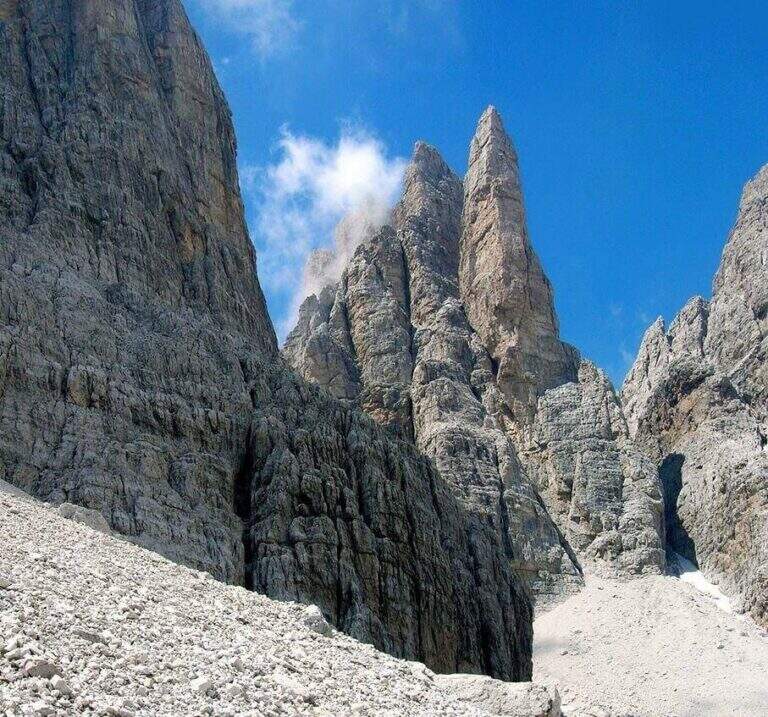
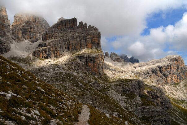
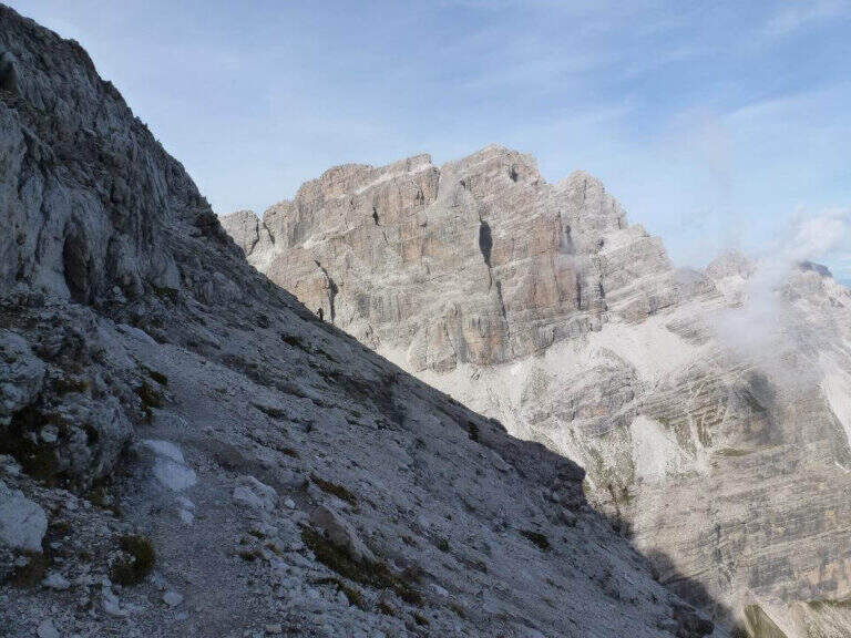
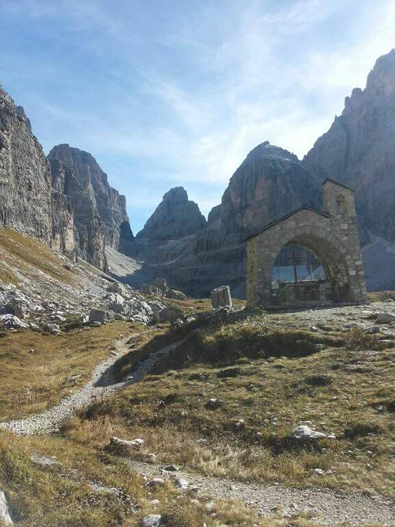
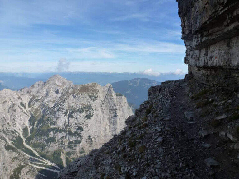
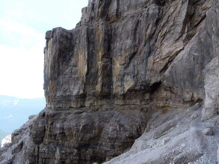
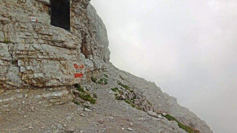
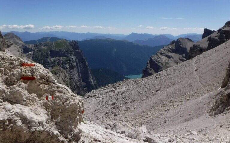
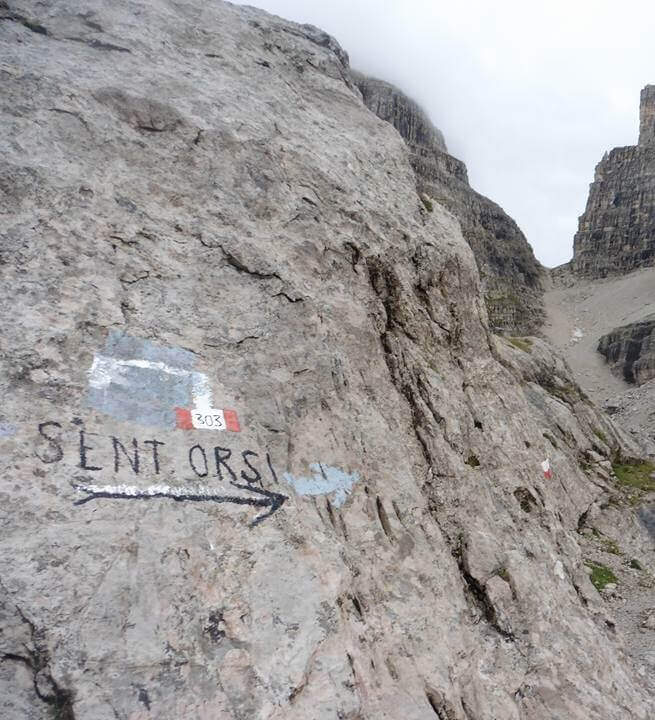
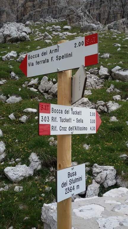
From the mouth of Tucket (about 2640 m) take the Sentiero Orsi (CAI 303) to the east. The route runs on a very exposed census of the Naso dei Massodì and Spallone, with the whirlwind of the Arms Busa opening on the right. It alternates short stretches and sections on crest that require safe foot. The trail passes near the Campanile Alto and the Campanile Basso, with extraordinary views of the heart of the Brenta, before reaching the Rifugio Pedrotti (2491 m, 2h30′ from the Bocca di Tucket, 5h30′ total).
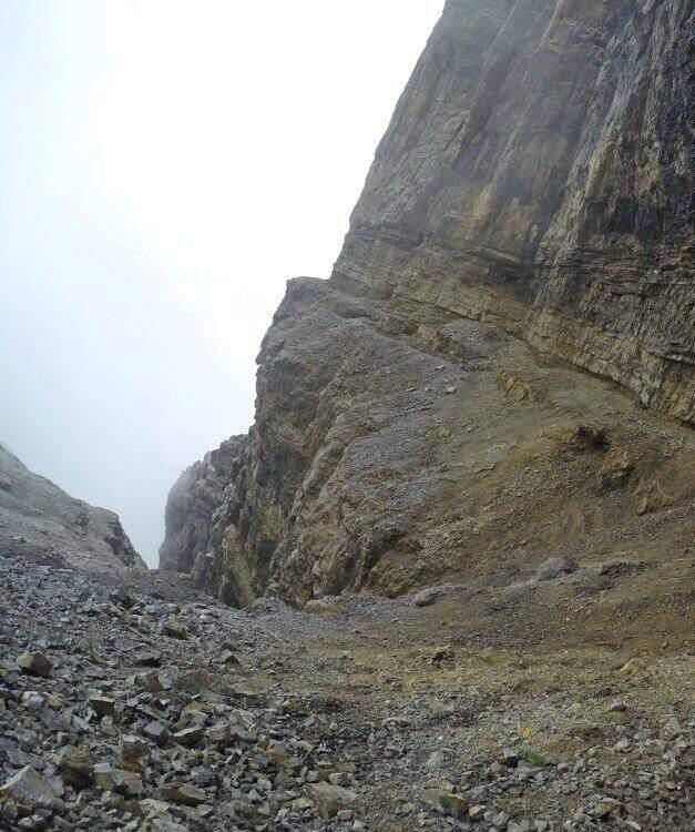
Classified Hard. The difficulty is given by the harsh environment, by prolonged exposure and by the presence of the vedretta in the approach. The equipped sections are not technically extreme, but the context requires mountain autonomy.
From July to August for the best conditions on the glacier. Avoid in case of afternoon thunderstorms.
You return by reverse path (10h30′ total) or stay at the Rifugio Pedrotti by organizing a crossing in two days towards the Rifugio Graffer or along the Bocchette.
The Rifugio Pedrotti is the starting point for the Sentiero delle Bocchette Alte, the Via delle Bocchette and Ferrata Spellini: the central Brenta area is one of the richest areas in the Alps.
- DifficultyHard
- RegionTrentino-Alto Adige
- GroupDolomiti di Brenta
- Approach3:00 h
- Ferrata2:30 h
- Itinerary (a/r)10:30 h
- Hardware level difference150 m
- Route difference1365 m
- Max2699 m
- Length24 Km