
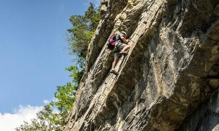
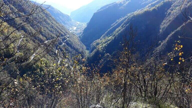
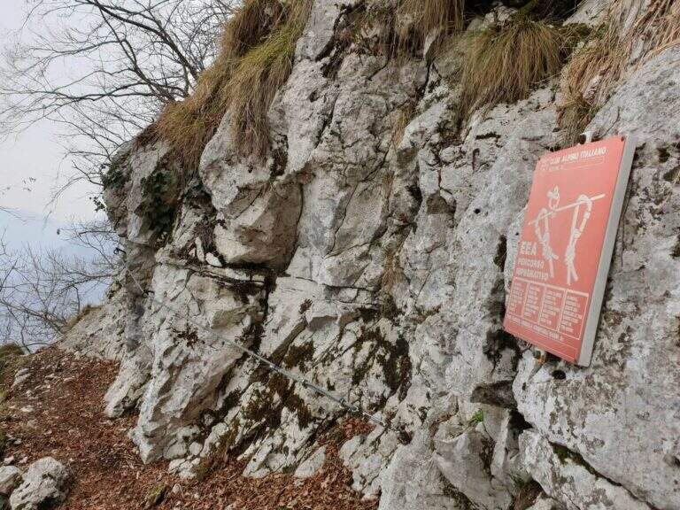
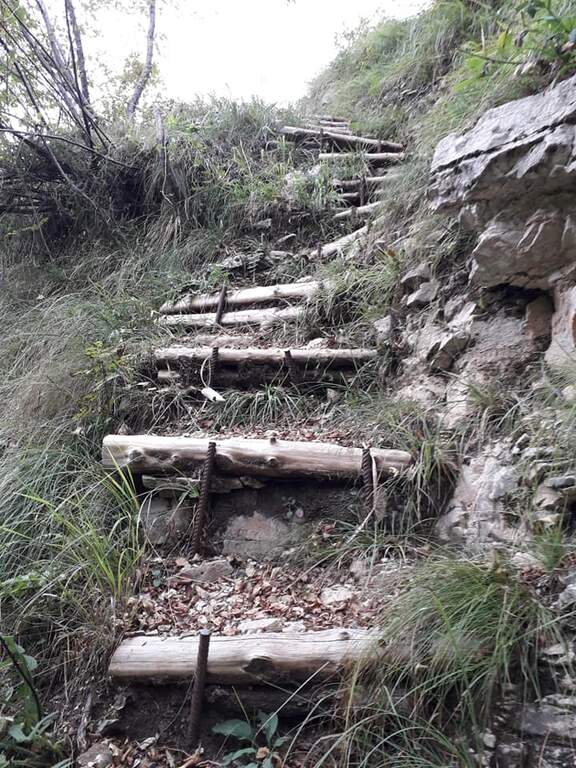
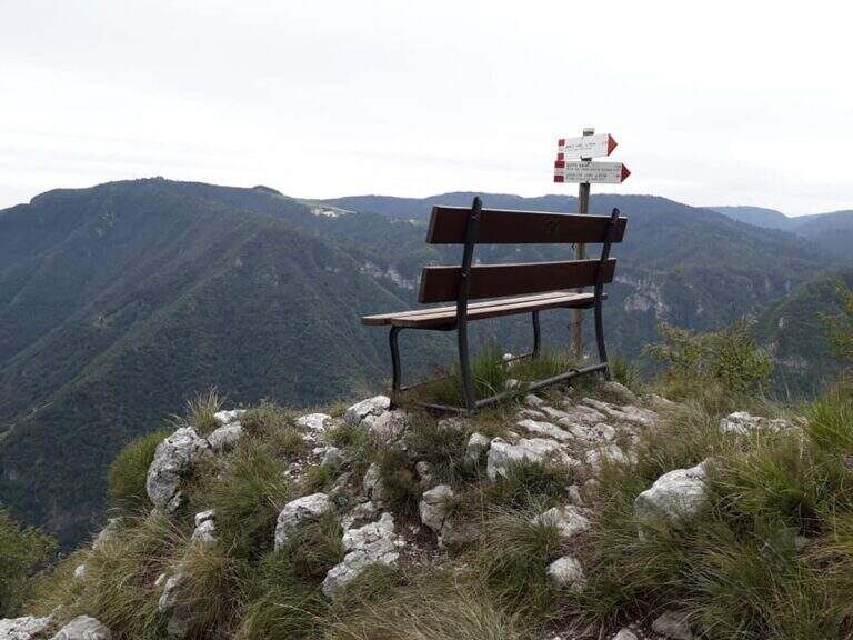
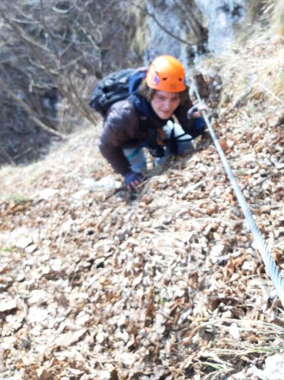
Historical path of the Great War that goes up Mount Pubel along the artificial nod carved by the mountaineers. Technically elementary, with cables useful especially on wet and wooded soil, ideal as the first approach to the equipped environment.
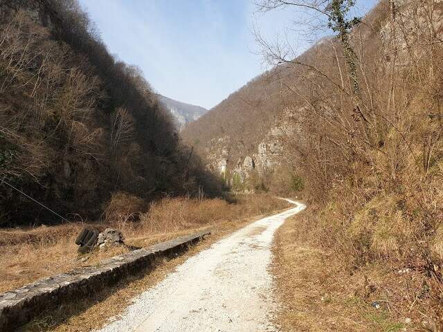
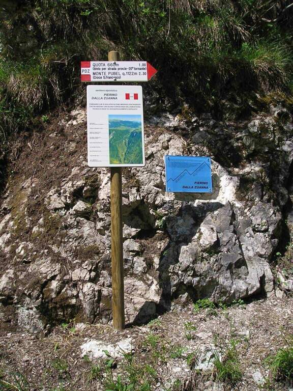
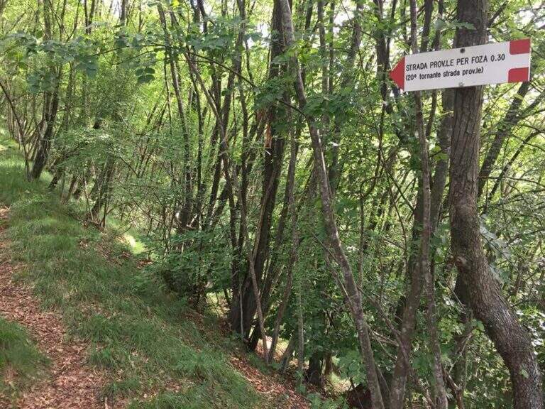
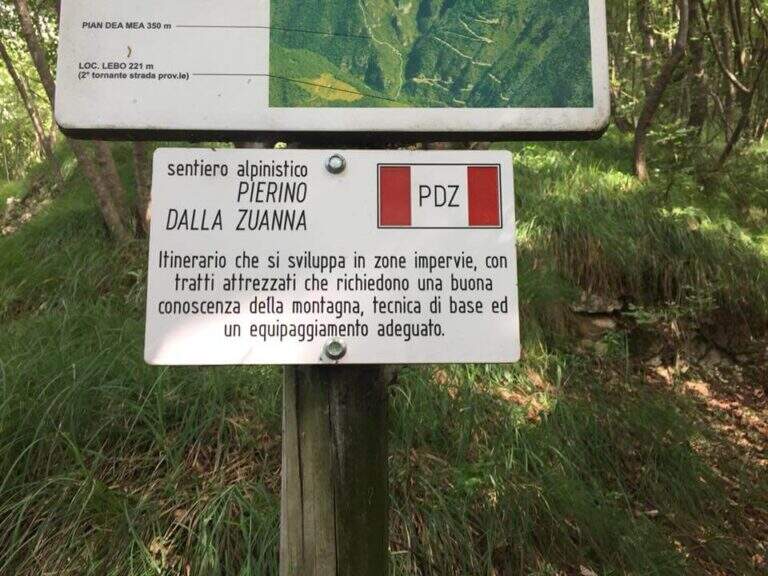
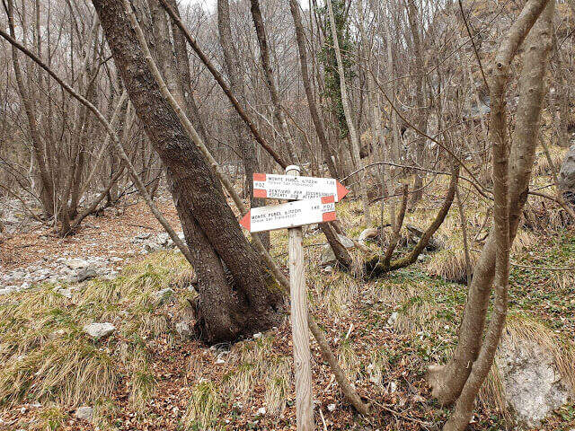
The starting point is located on the road that connects Valstagna with Foza (Vicenza): you reach Valstagna from the SS47 of Valsugana from Bassano sul Grappa, turn left towards Piazza San Marco and follow the signs for Foza until the second bend, where a sign signs Cala del Sasso. You park on the road. From the parking lot, take a dirt road west in Val Frenzela, then take the path 779, well marked for the Path Pierino dal Zuanna (PDZ).
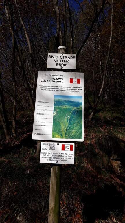
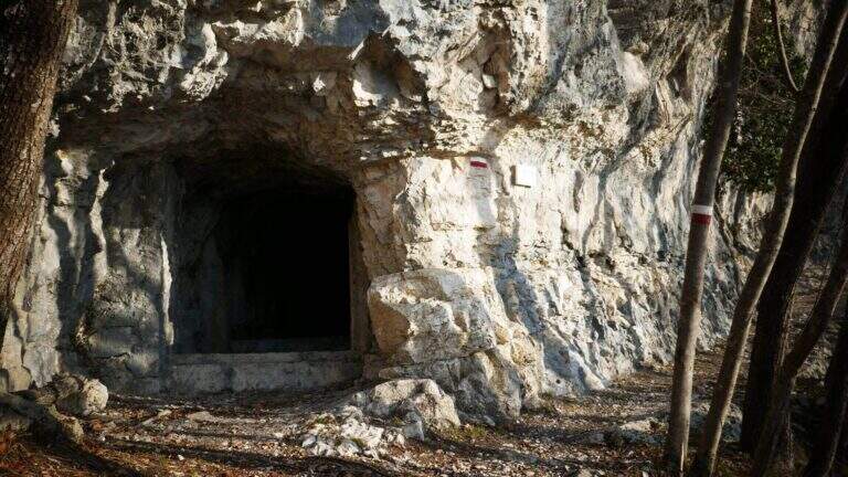
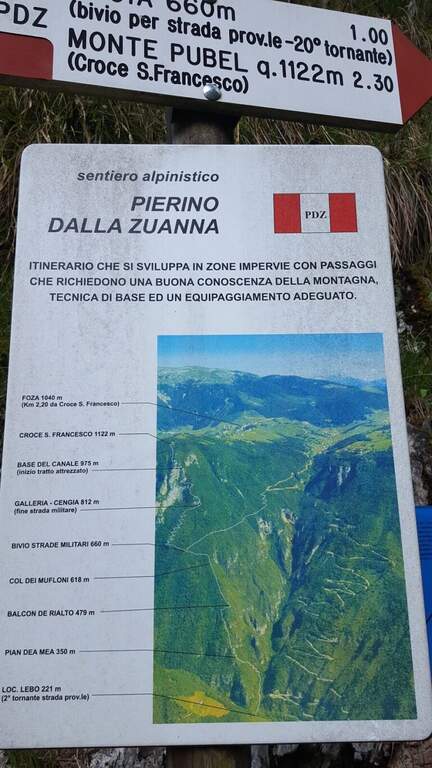
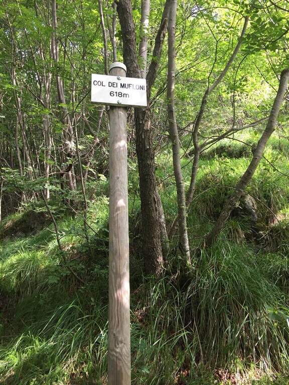
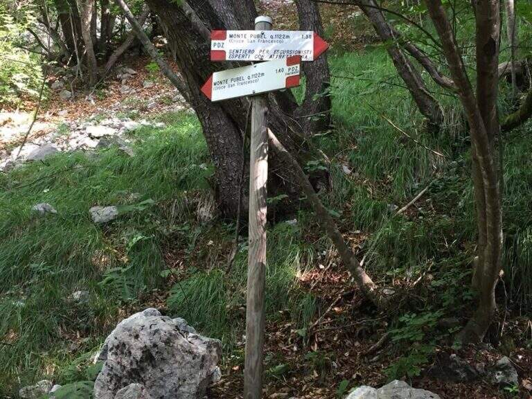
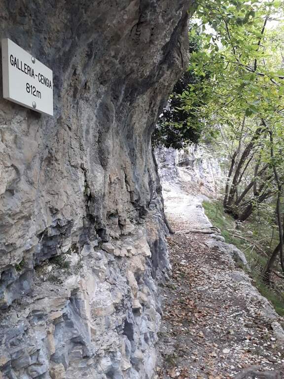
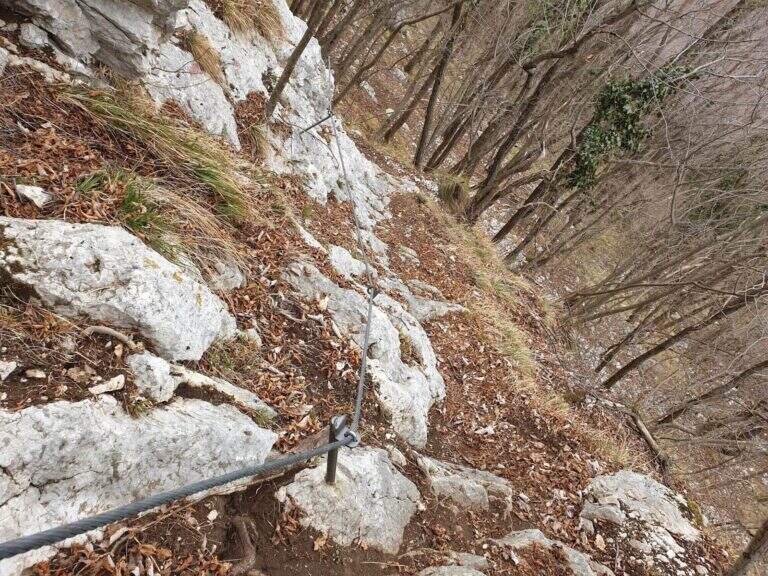
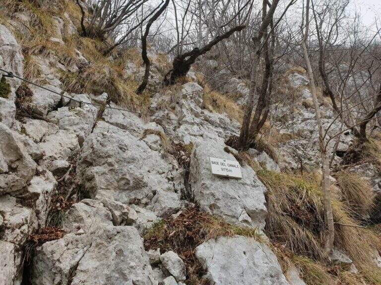
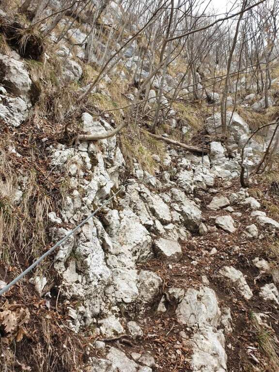
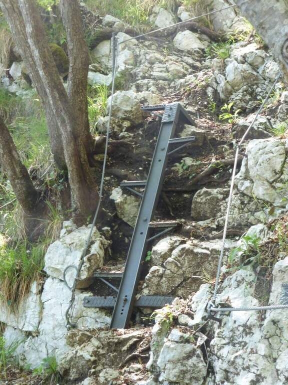
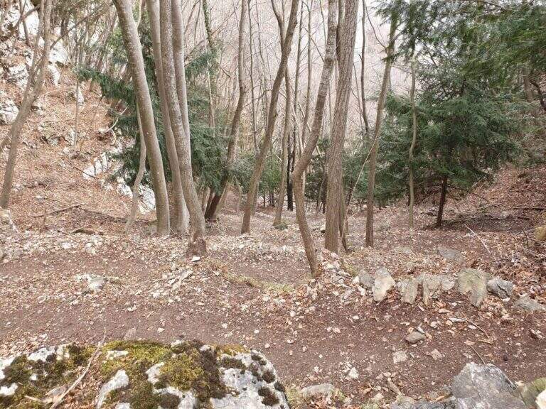
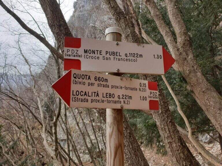
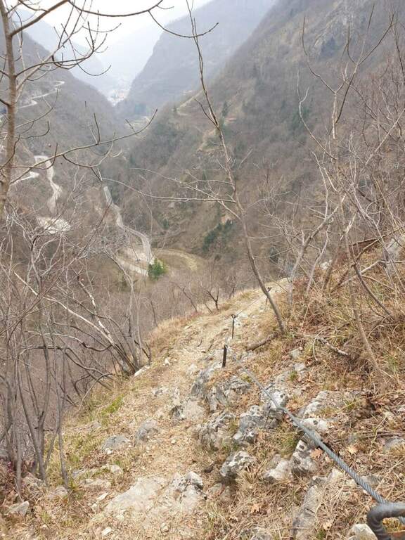
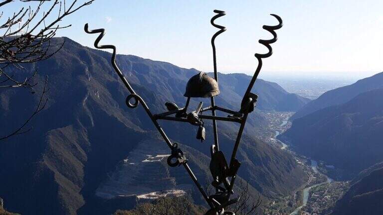
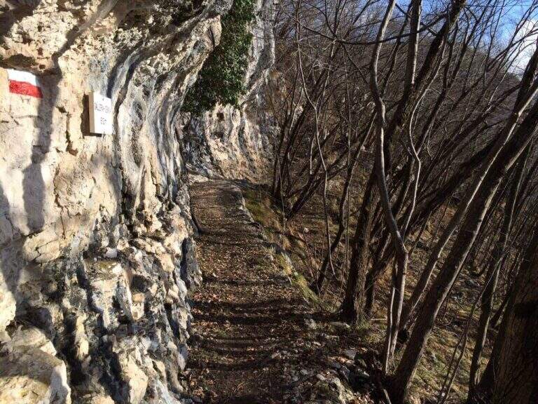
The path climbs on a clear track, reaching the Pian dea Mea (350 m), the Balcon de Rialto (479 m) and the Col dei Mufloni (618 m). At about an hour from the parking lot you arrive at the Bivio Strada Militare (660 m): holding the left you enter the most interesting part of the itinerary. Shortly after a second crossroads: on the left descends the easy unequipped variant used on the return, on the right the variant is equipped in the wood. You climb up to a military gallery with target, then you walk the artificial nod carved into the rock. A steep stretch with cable leads to the Base del Canale (975 m), from which a metal ladder and about 100 m alternating between equipped sections and path leads to the top of Mount Pubel.
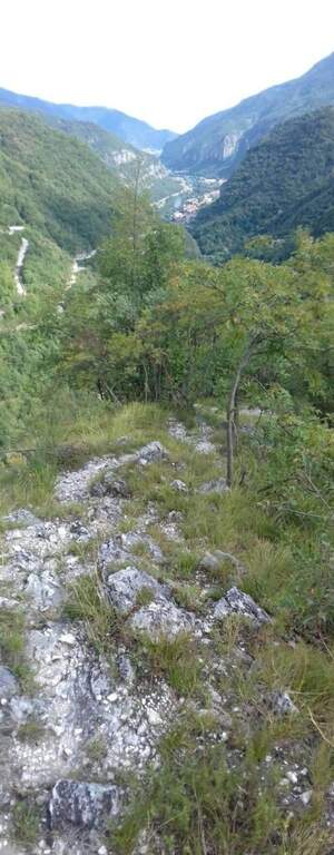
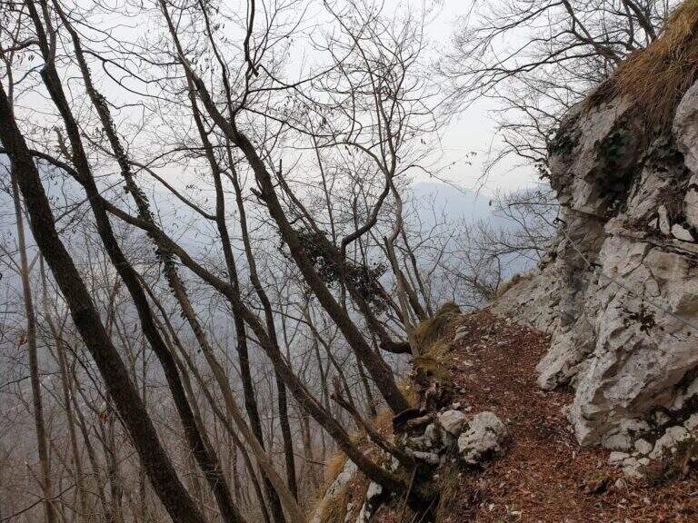
Easy. The equipment does not compensate for climbing difficulties but increases safety on a wooded, slippery and at some point exposed. The artificial census excavated by mountaineers is the most characteristic passage of the route.
From spring to autumn. The street is exposed to the east and the lower part of the forest remains wet long after the rains. Avoid snow or ice. It does not require mountaineering equipment, but the ferrata set is recommended.
From the end of the road it comes back again taking the unequipped variant to the left of the second junction, which brings back to the junction of the Military Road and then to the parking space.
In the area of Monte Pasubio and Altopiano there are several itineraries of the Great War: the Path equipped Baglioni e il Sentiero Falcipieri at 5 Peaks of Pasubio.
- DifficultyEasy
- RegionVeneto
- GroupAsiago / Valbrenta plateau
- Approach1:00 h
- Ferrata1:00 h
- Itinerary (a/r)4:30 h
- Hardware level difference150 m
- Route difference900 m
- Max1138 m
- Length9 Km