
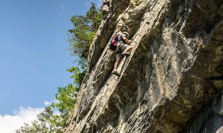
Impressive mountain itinerary that climbs from Gressoney-La-Trinité to the Rifugio Quintino Sella (3585 m) in the Monte Rosa massif. The last equipped stretch runs along an air crest and exposed with alternating ridge wire, wooden walkway and a short vertical. It requires maximum attention to weather conditions and snow.
From Gressoney-La-Trinité you can reach Stafal (fine road, parking) and take the lifts (funivia then covered chairlift) to the Colle della Bettaforca (2680 m, approx. 30'). From the mountain station follow path 9 towards the north on stone with yellow and omit signs. You reach the Colle Bettolina Inferiore, then the Colle Bettolina Superiore (nevaio residual until late season), where you intersect the path 10 from Pian di Verra Superiore. Continue on bubbles and stones vertically, with a more clear mark, until the final ridge (2h45' from the upstream station).
The last crest before the shelter is airy and exposed, equipped with fixed rope. Take the ridge line alternating left and right side to a wooden walkway that connects two points of the crest. You pass a narrow traverse and then a short vertical of about 2 m with natural hooks for hands and feet. The last metres of ridge lead to the Rifugio Quintino Sella (40' from the equipped ridge, 3h30' total).
Moderately difficult. The equipped ridge air does not present excessive technical difficulties but requires safe passage, no dizziness and the ability to read the ground at high altitude.
July-September with stable weather. Always check the snow conditions and the weather forecast of Monte Rosa before departure. High altitude requires adequate clothing and water supply.
Same climb (3h from the hut, 6h30' total). Alternativa: at the Colle Superiore you can follow the path 10 towards Pian di Verra Superiore, adding about an hour to the route.
In the area of Gressoney lies the Ferrata Angster in Gressoney e la Ferrata Guide of Gressoney.
- DifficultyModerately Hard
- RegionAosta Valley
- GroupMonte Rosa
- Approach2:45 h
- Ferrata0:40 h
- Itinerary (a/r)6:30 h
- Hardware level difference90 m
- Route difference850 m
- Max3585 m
- Length9,5 Km