
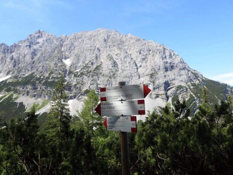
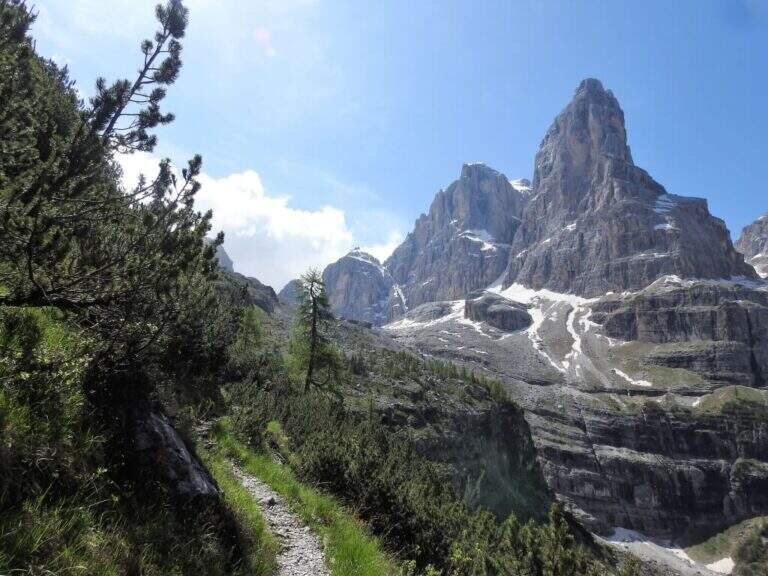
The Sentiero Attrezzato Violi is the uncomplicated link between the Casinei Refuge and the Brentei Refuge on the western Brenta Dolomites, a less frequent alternative to the parallel Sentiero Bogani. Cross the wall of Cima Fridolin with stretches equipped at the exposed points and a slightly more steep finish, making it a classic approach to the ferrates of the Brenta Dolomites.
The starting point is the parking lot of the Rifugio Vallesinella (1513 m), above Madonna di Campiglio: from the roundabout of the centre of Madonna di Campiglio follow Via Vallesinella for about 3 km. From the parking lot you climb to the CAI 317 in the forest until the Rifugio Casinei (1850 m, approx. 45 min).
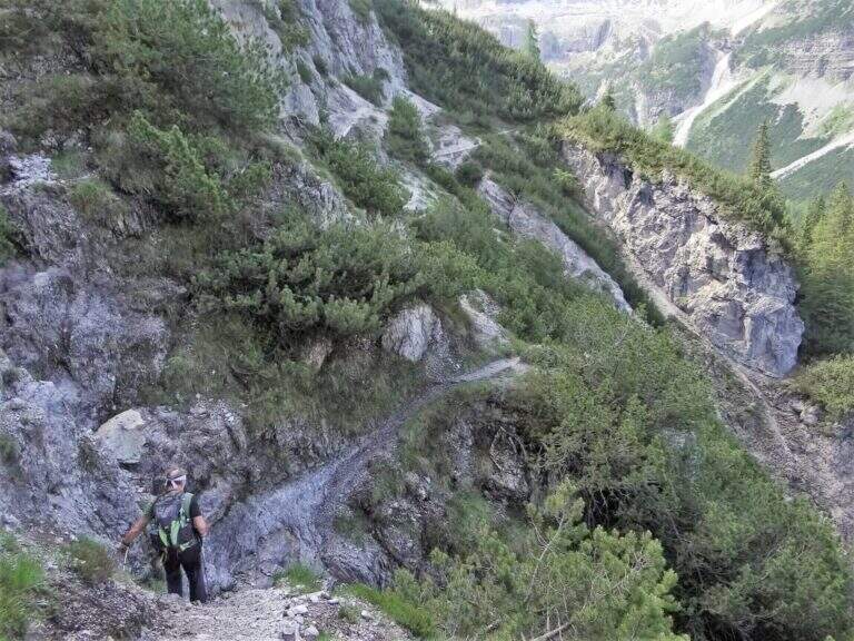
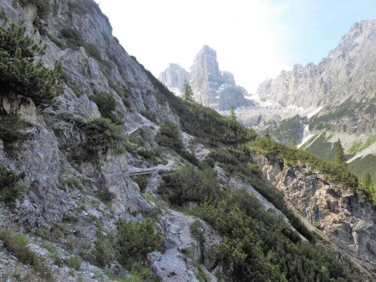
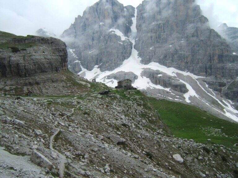
From the Casinei refuge (1850 m) follow the Sentiero Violi which starts in the forest with moderate slope, crossing from the west the wall of Cima Fridolin at a lower altitude than the Sentiero Bogani. Halfway you will meet some equipped extracts easy progression, then some rocks with passages on solid soil. L’ last stretch is the steepest of the whole route and leads to the Rifugio Brentei (2182 m, ca. 2h from Casinei — 5h total from Vallesinella included return).
Easy path, suitable for hikers with good leg. The equipped sections do not have technical difficulties but require good balance. The most steep final stretch from the Bogani can tire further in view of successive routes planned by Brentei.
From July to September, when the Brenta Dolomites are free from snow. The Rifugio Brentei offers accommodation and refreshment, an ideal starting point for the Sentiero SOSAT and the Bocchette del Brenta.
From the Brentei refuge you can return to the Sentiero Bogani (CAI 318, more direct) or to the Violi itself to the Casinei and from there to the Vallesinella on the CAI 317 (5h total).
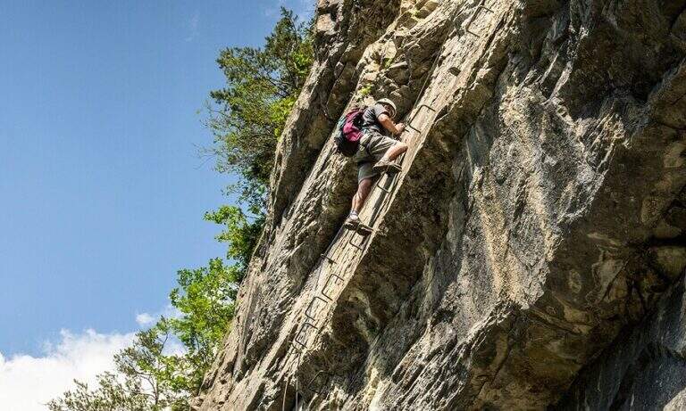
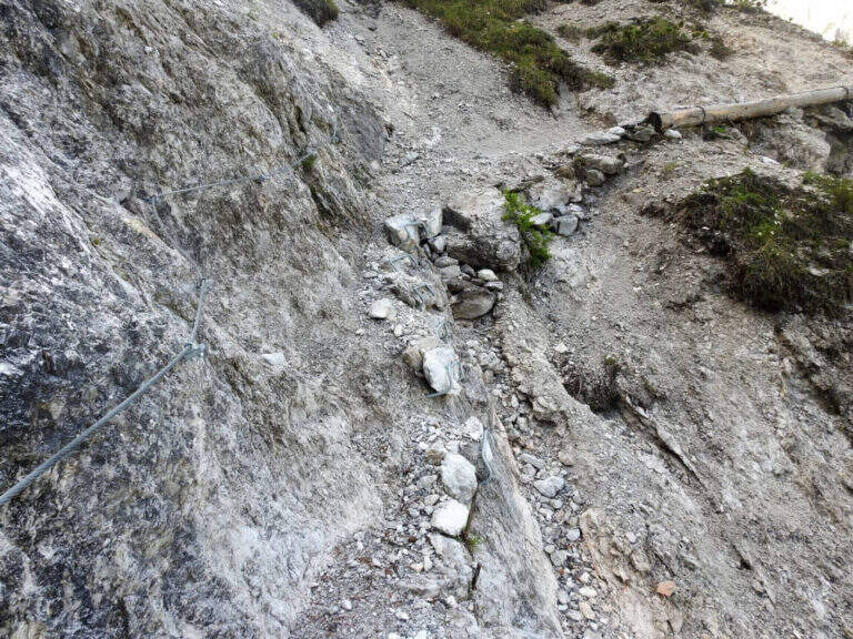
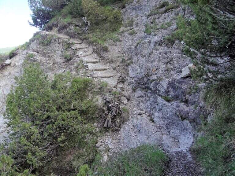
- DifficultyEasy
- RegionTrentino Alto Adige
- GroupDolomiti di Brenta
- Approach0:45 h
- Ferrata2:00 h
- Itinerary (a/r)5:00 h
- Hardware level difference40 m
- Route difference569 m
- Max2182 m
- Length11 Km